


TOPO Hiking | CLIMBING7.COM
Publié le
 Partager sur WhatsApp
 Partager sur Twitter
Partager sur Instagram
Partager sur Twitter
Partager sur Instagram

 Partager sur Facebook
 Imprimer le topo
 Laisser un commentaire

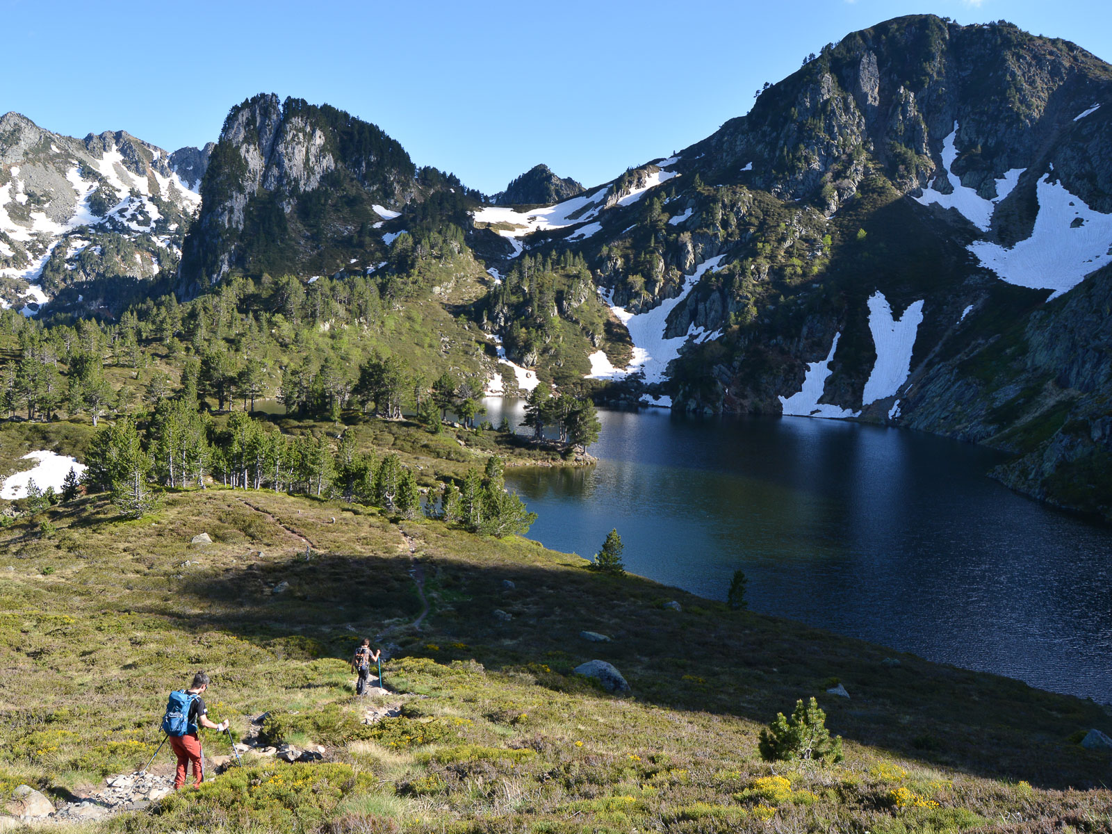
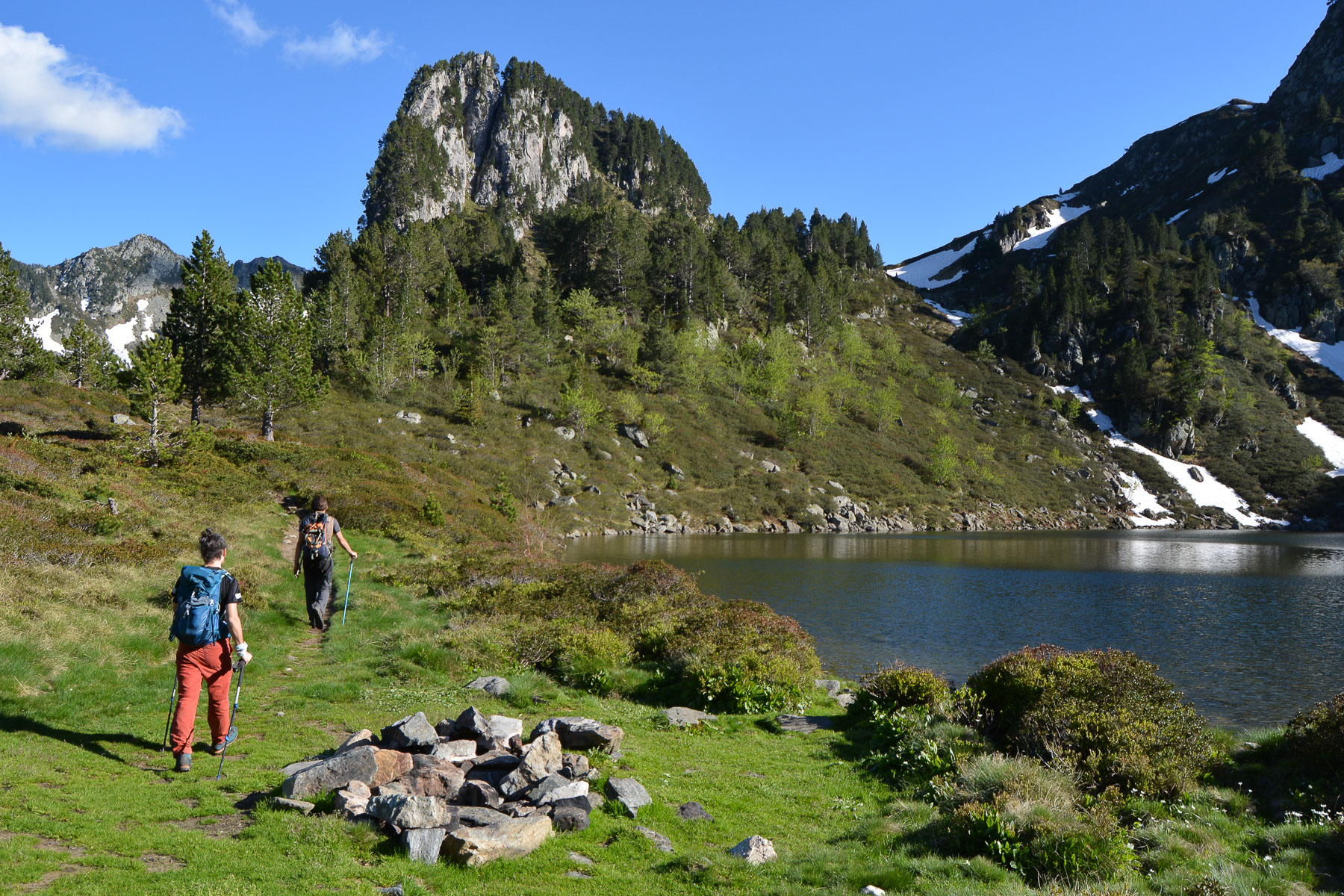
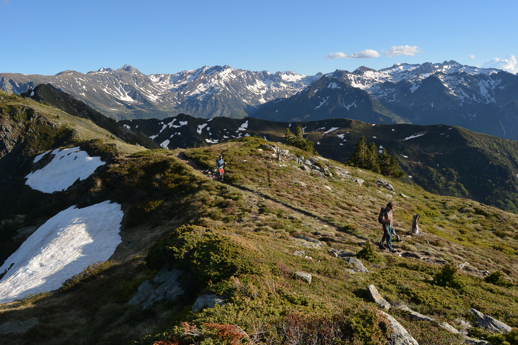
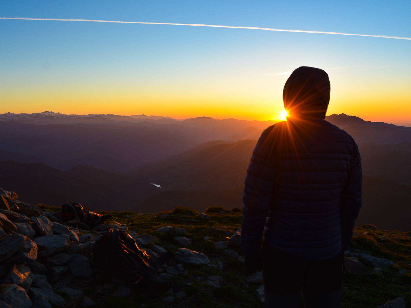
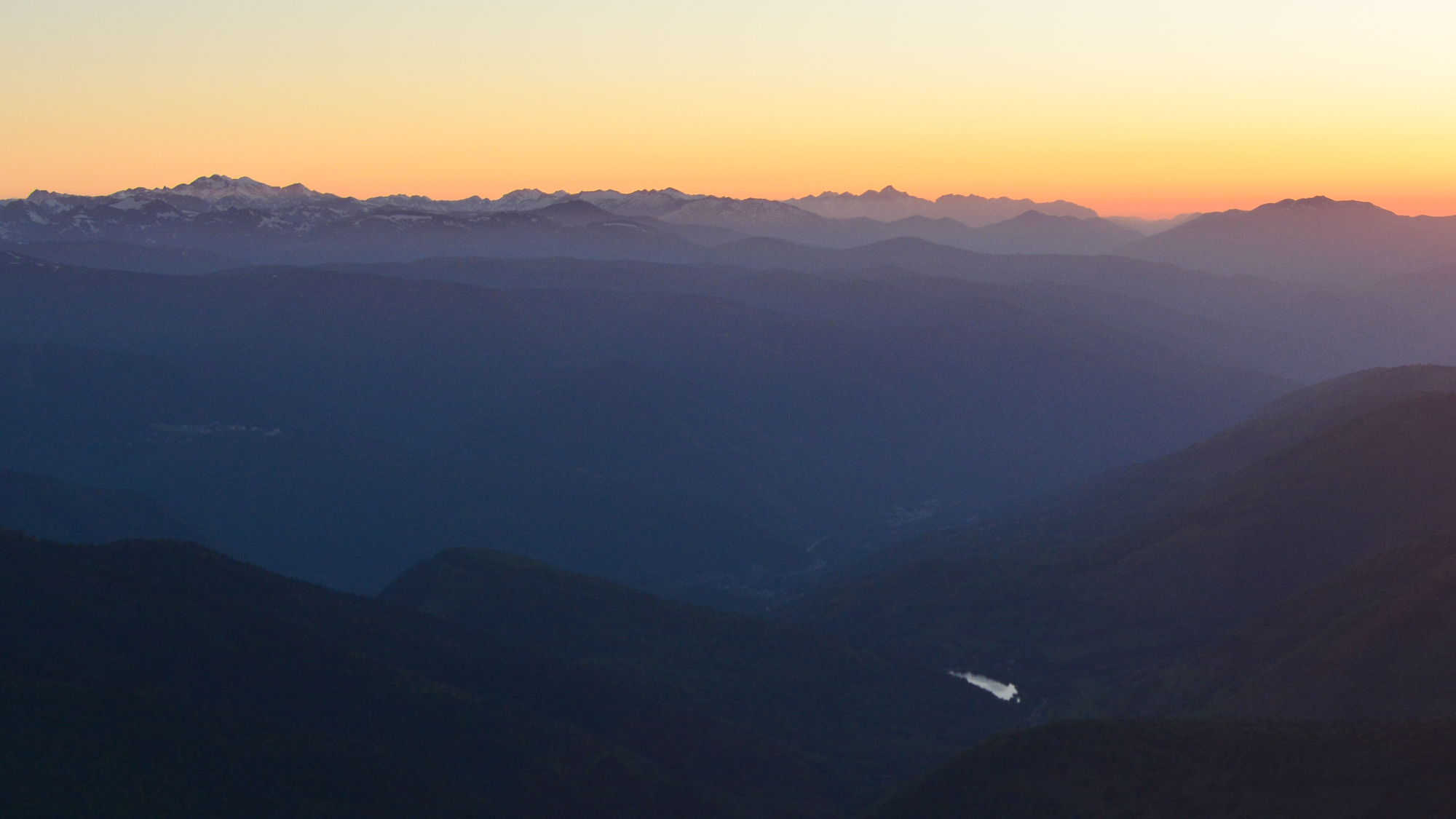
A beautiful loop from the Ascou-Pailhères pass to the Rabassoles ponds before climbing the ridges to the summit of Tarbésou. This varied, accessible route offers superb panoramic views of the Ariege peaks and, if you time it right, can also take in a beautiful sunset.
❱❱ Technical summary
Type ✦ Hiking
Location ✦ Ascou-Pailhères
Region ✦ Ariège
Country ✦ France
Max altitude ✦ 2364m
Distance ✦ 10,5 kms
Dénivelé ✦ 670m
Difficulty ✦ AD
Duration ✦ 3h30 to 4h
Interest ✦ ★★
❱❱ Access to the place
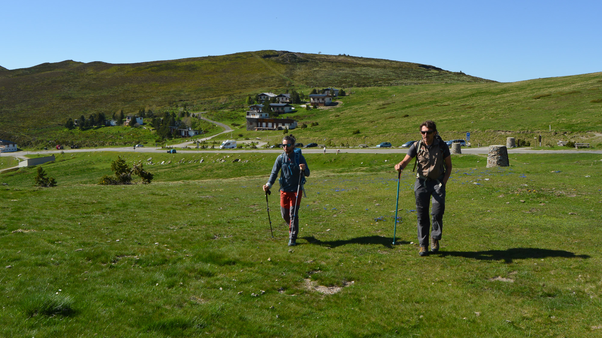
From Ax-les-thermes, climb towards Ascou. Pass under the village and then along the Lac de Goulours before climbing to the Col d'Ascou-Pailhères at 2000m. Park there at pass level.
❱❱ Map & topo
❱❱ Itinéraire
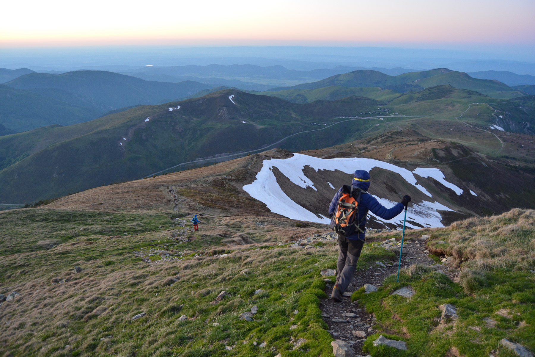
Head due south and cross the plateau until you reach the intersection with the path that climbs the ridge (right) or heads straight for Coumeille de l'Ours.
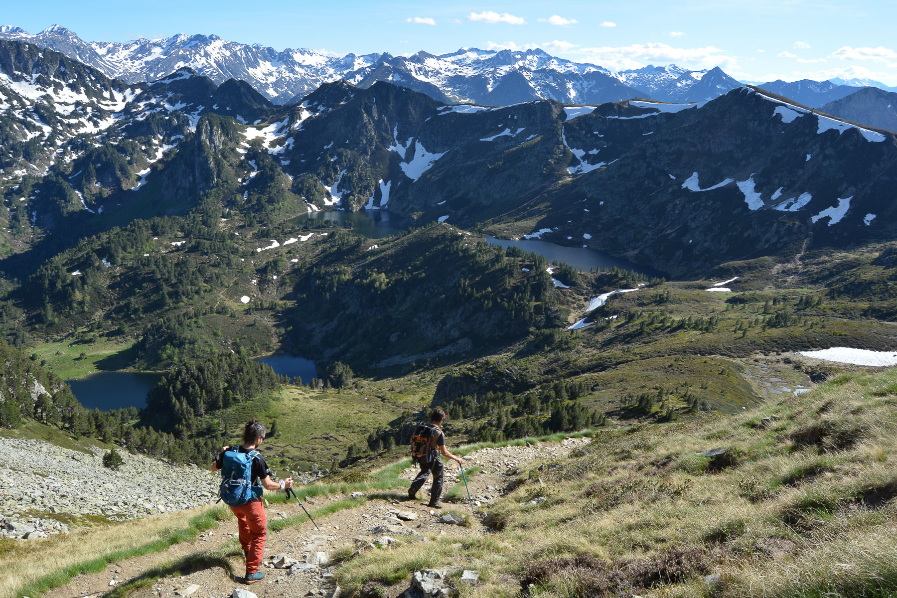
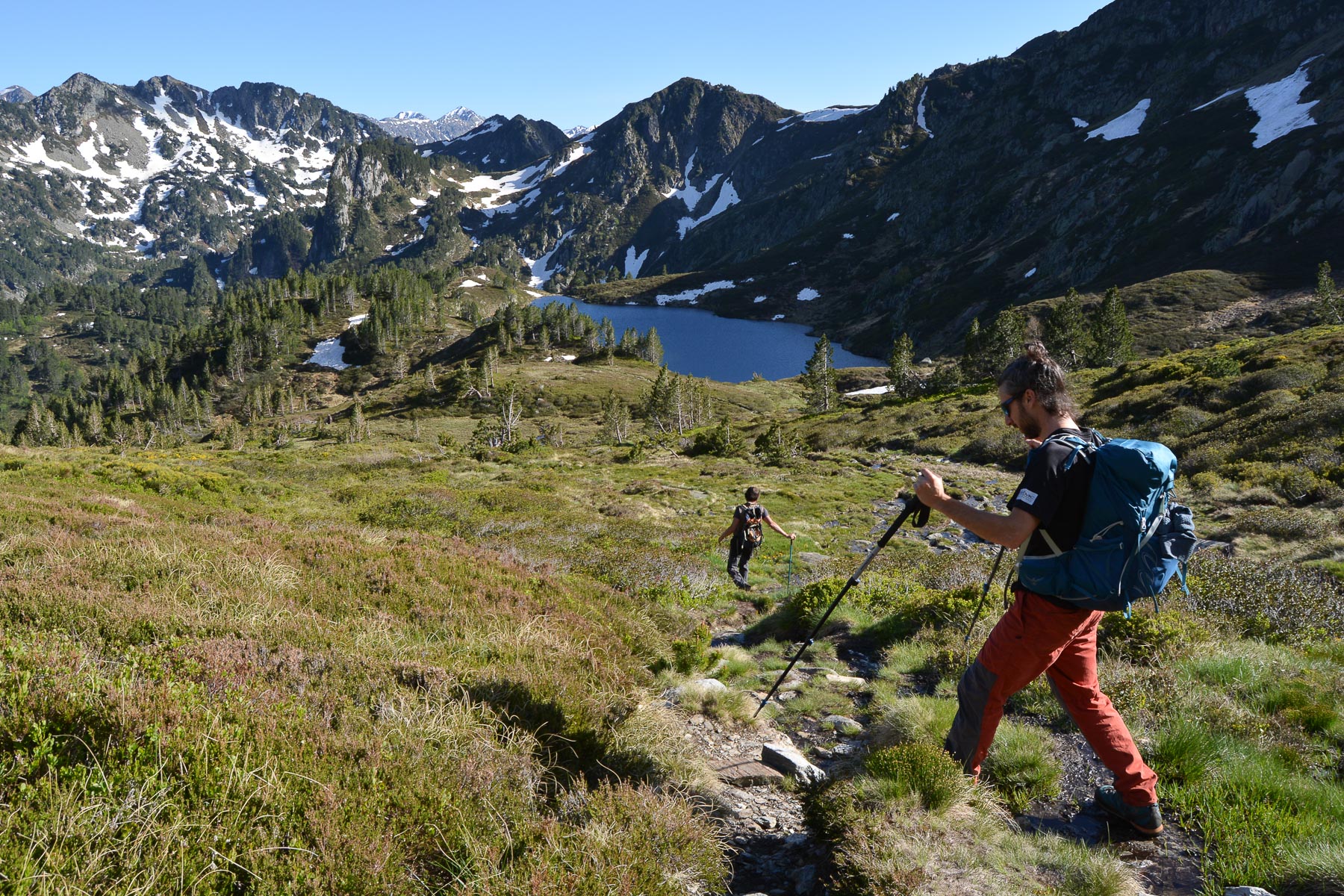
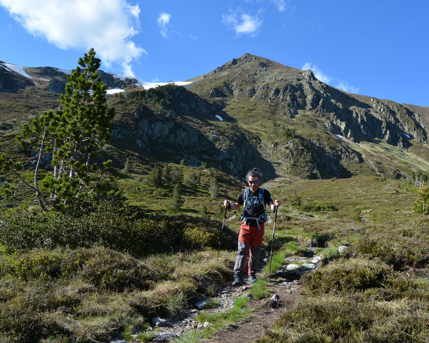
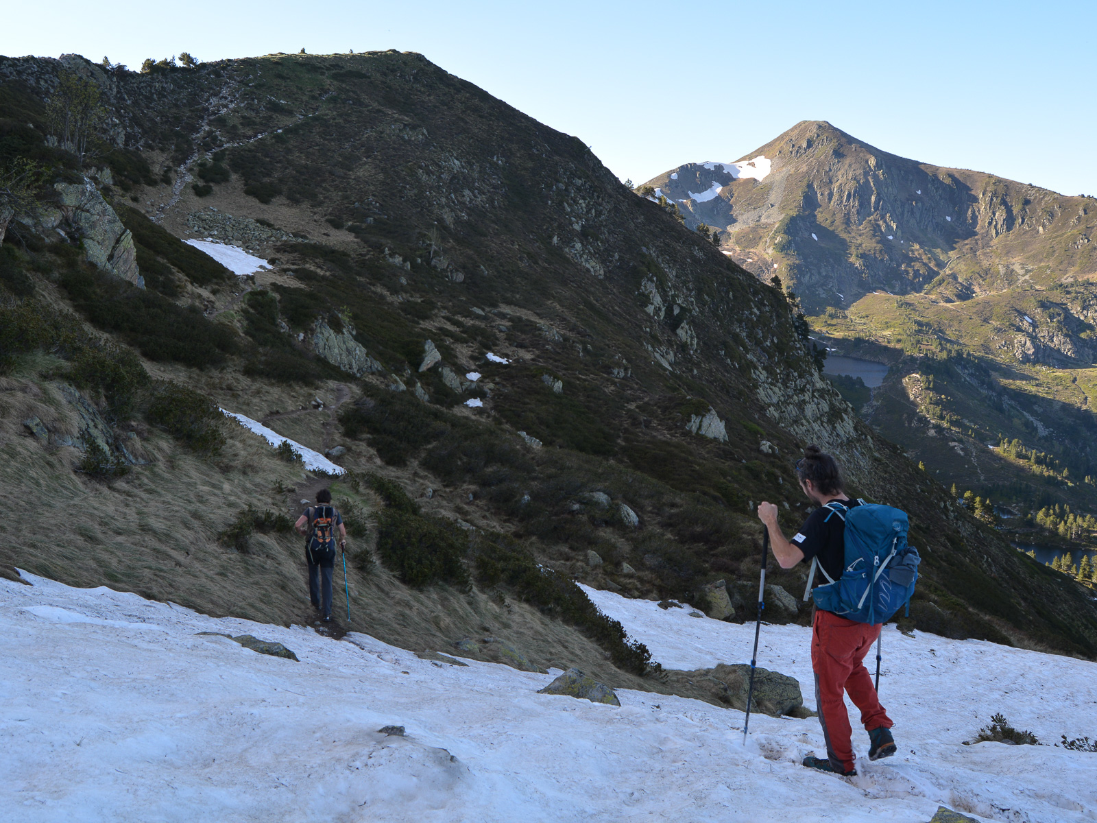
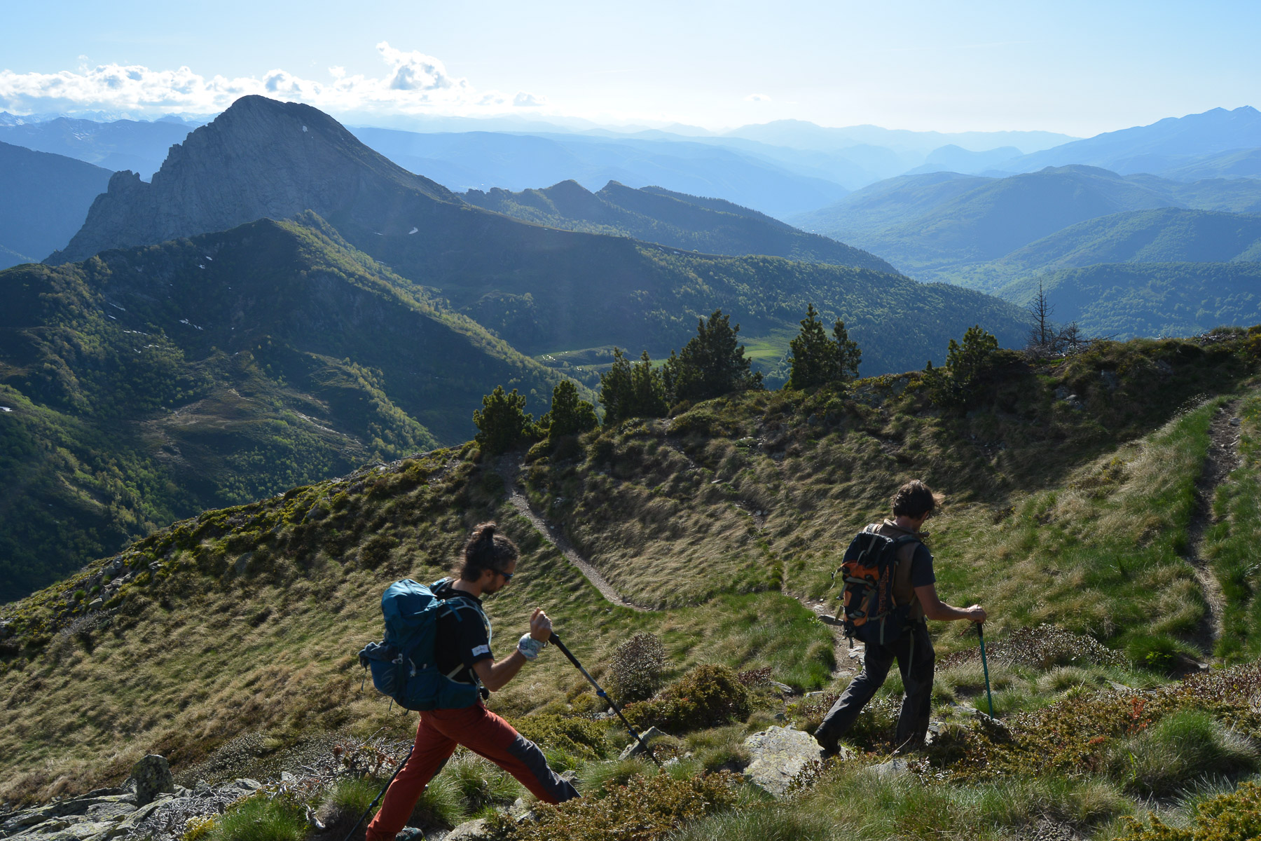
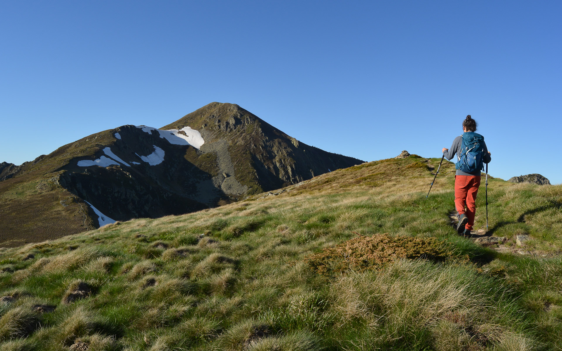
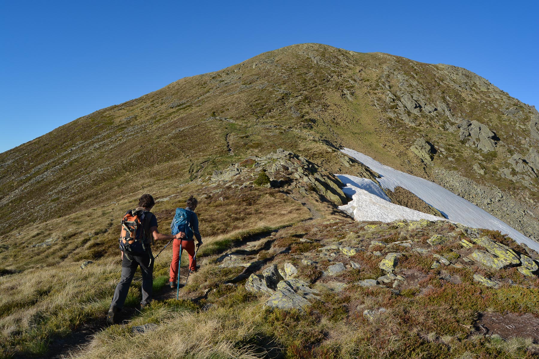
A fairly straightforward loop, signposted as a GR until you reach the crest. The crest path is marked in yellow to the summit of Tarbésou. Beware of the wind, which can be very strong on the ridges and at the summit, a frequent occurrence in this area. No particular difficulty, but there are some steep sections to be negotiated and a fair number of ascents and descents that can be a bit of a foot-teaser.
From the summit of Tarbésou, descend on the north side along the wide path that follows the Manegou ridge to reach the starting intersection below. Cross the plateau in the opposite direction back to the parking lot.
Topo de la boucle des étangs de Rabassoles et de Balbonne par le col de l'Égue


Leave a Reply