


TOPO Hiking | CLIMBING7.COM
Publié le
 Partager sur WhatsApp
 Partager sur Twitter
Partager sur Instagram
Partager sur Twitter
Partager sur Instagram

 Partager sur Facebook
 Imprimer le topo
 Laisser un commentaire
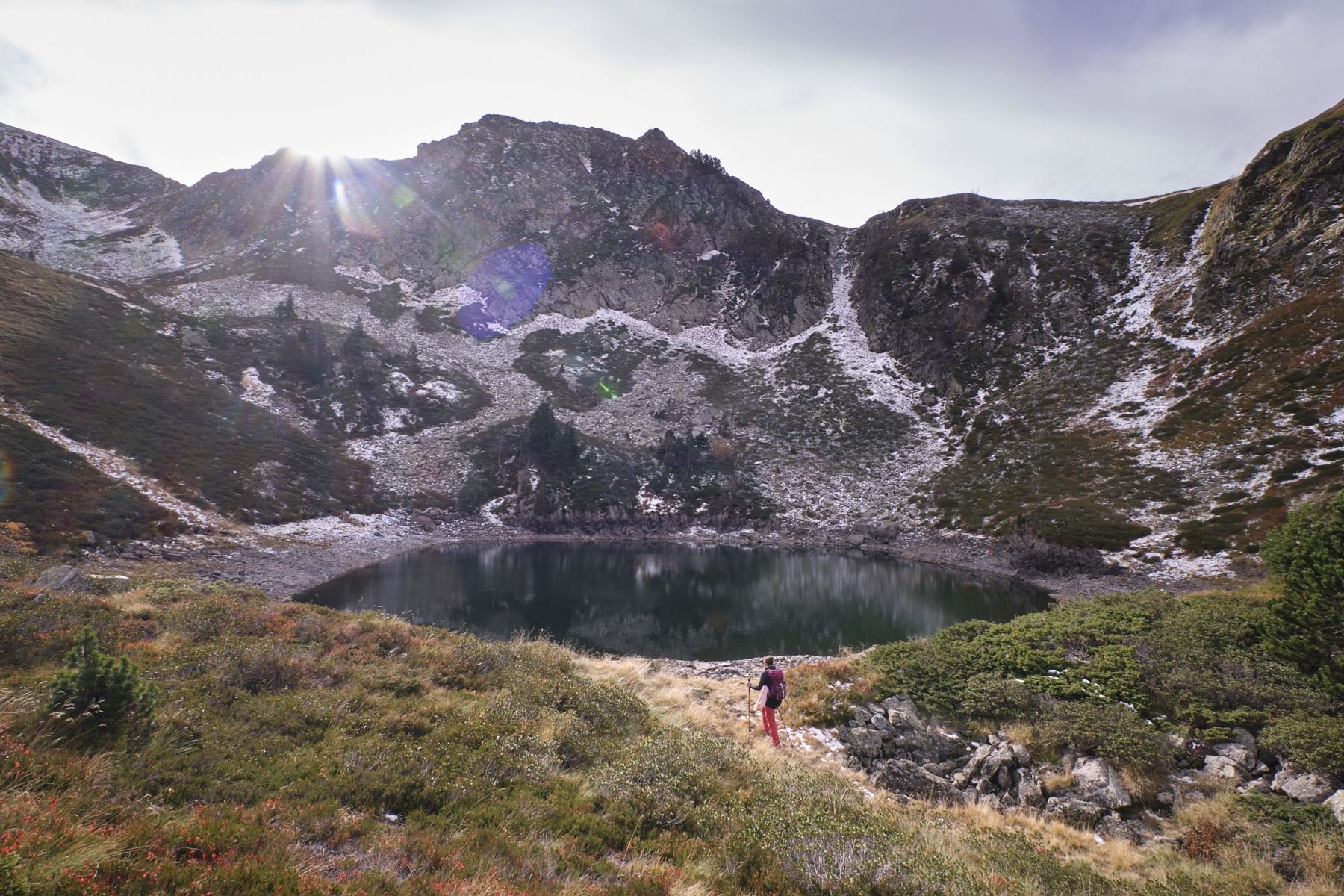
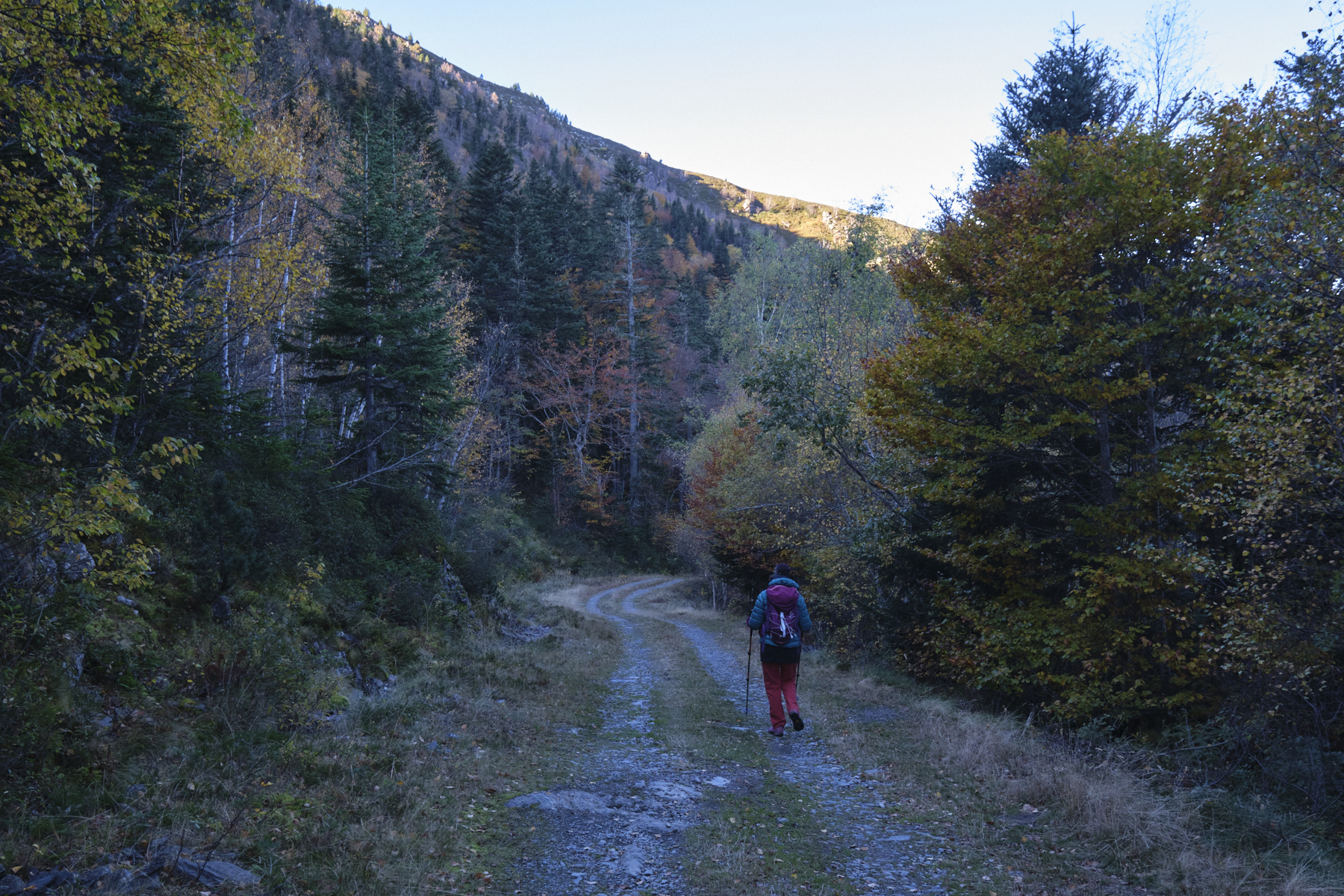
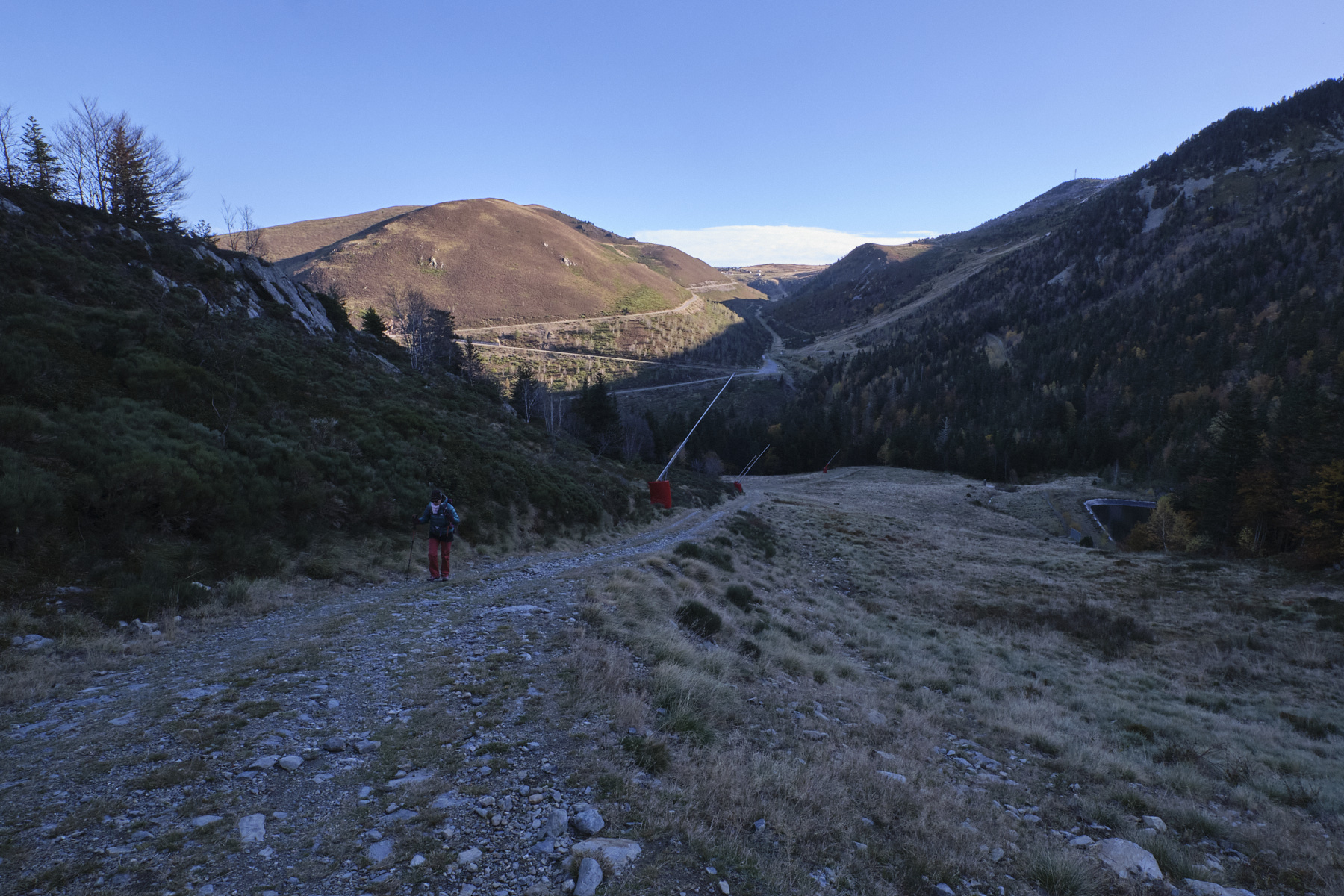
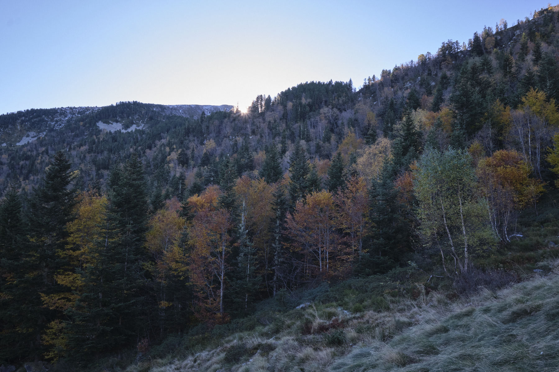
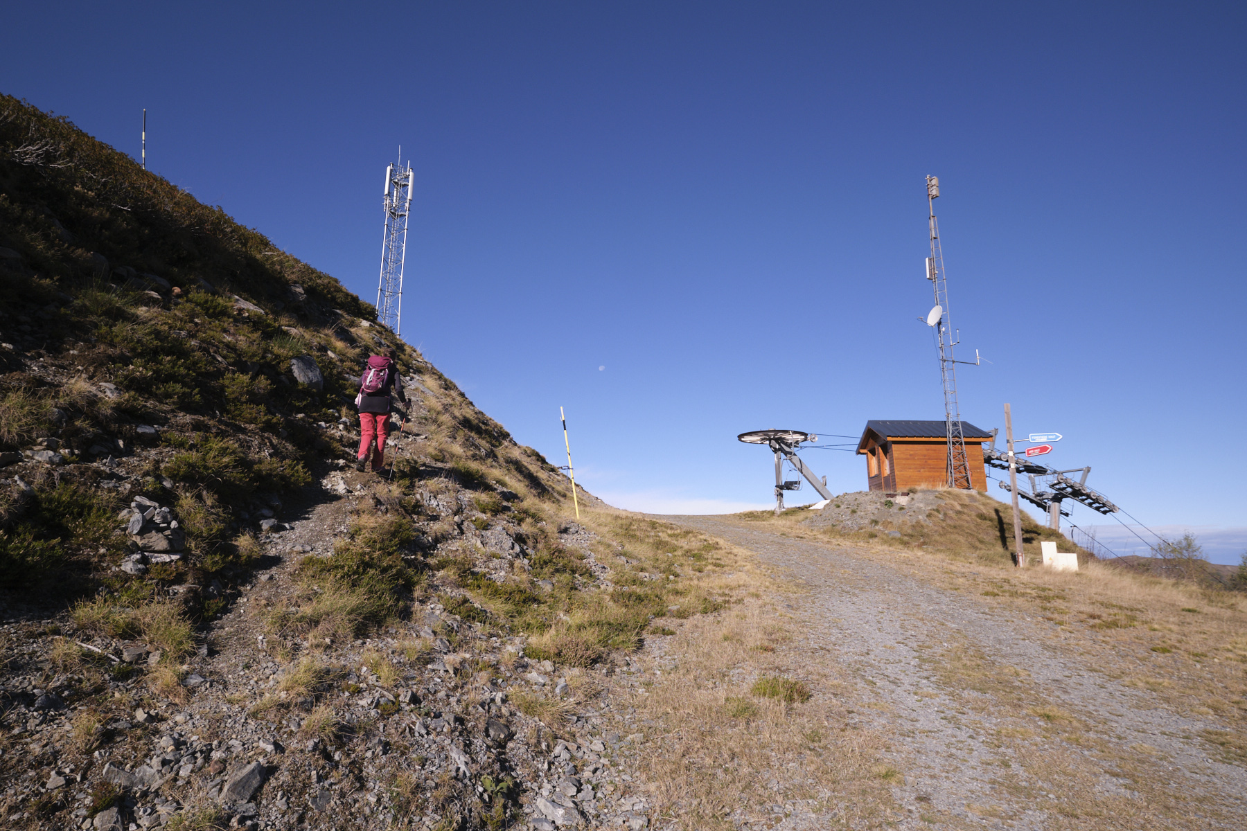
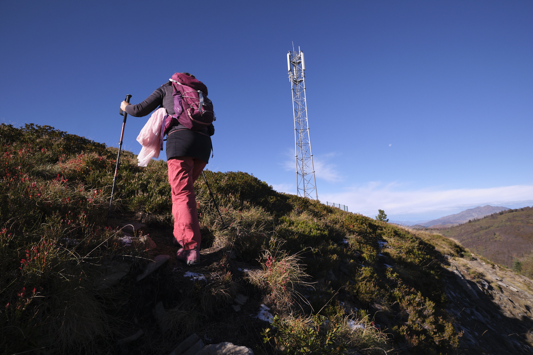
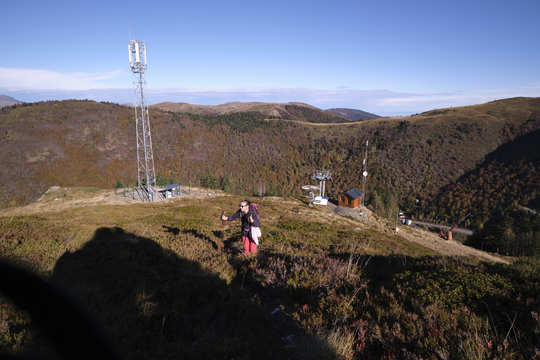
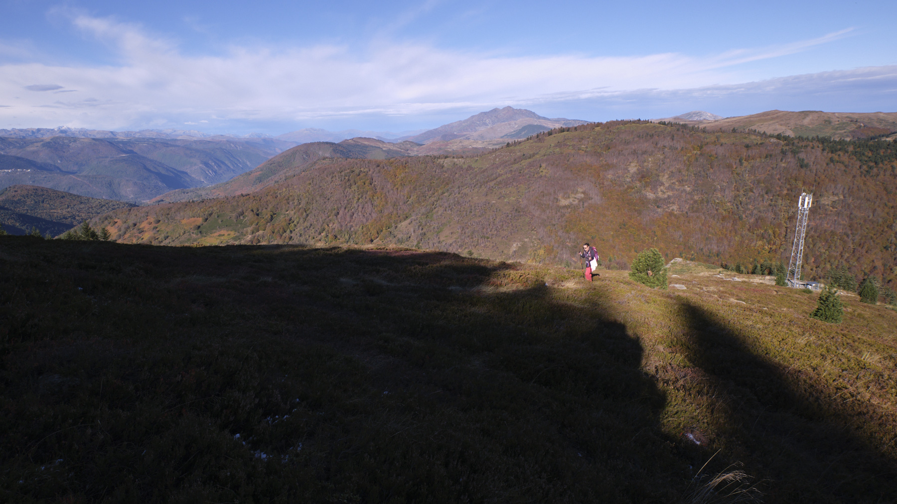
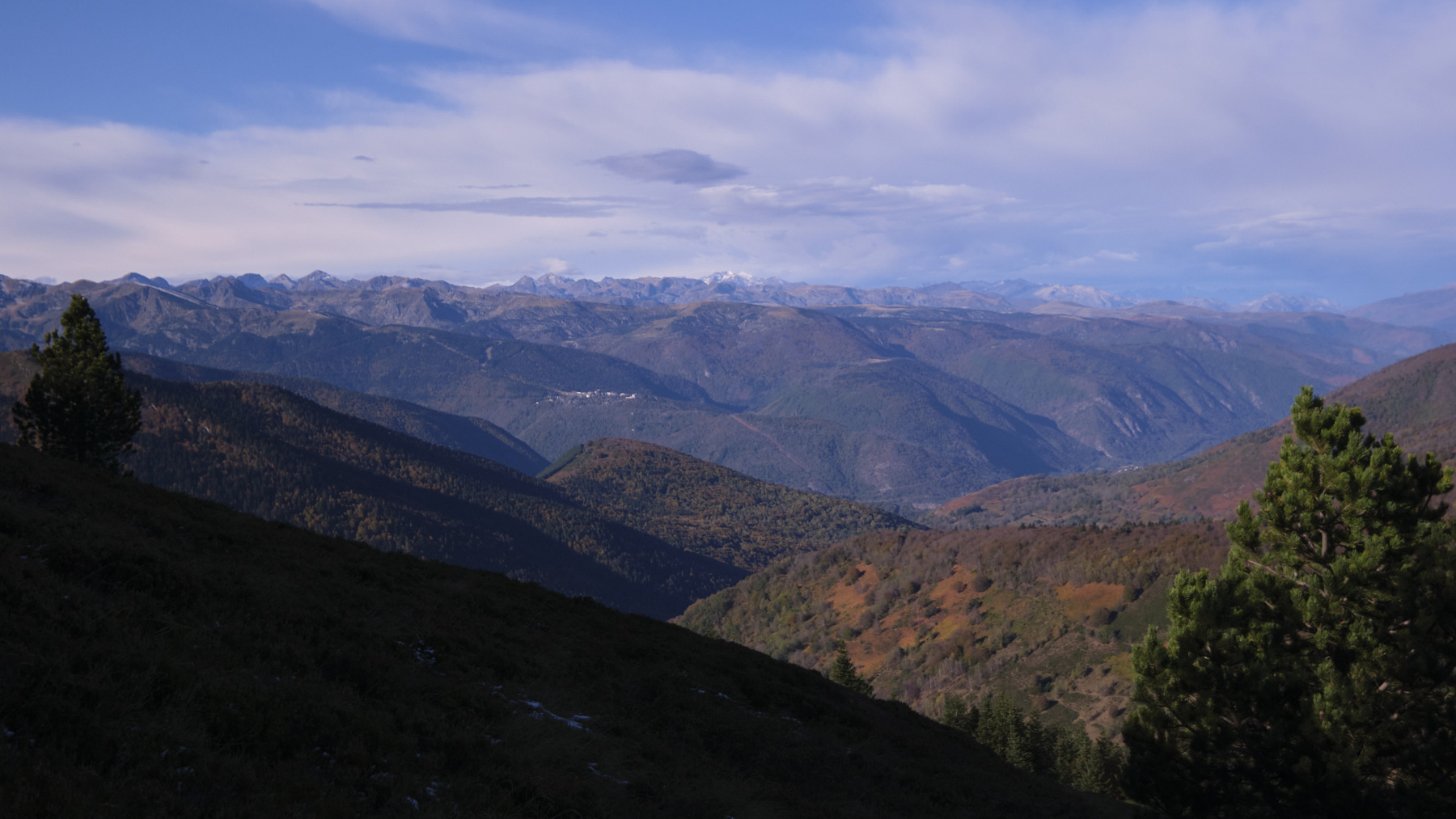
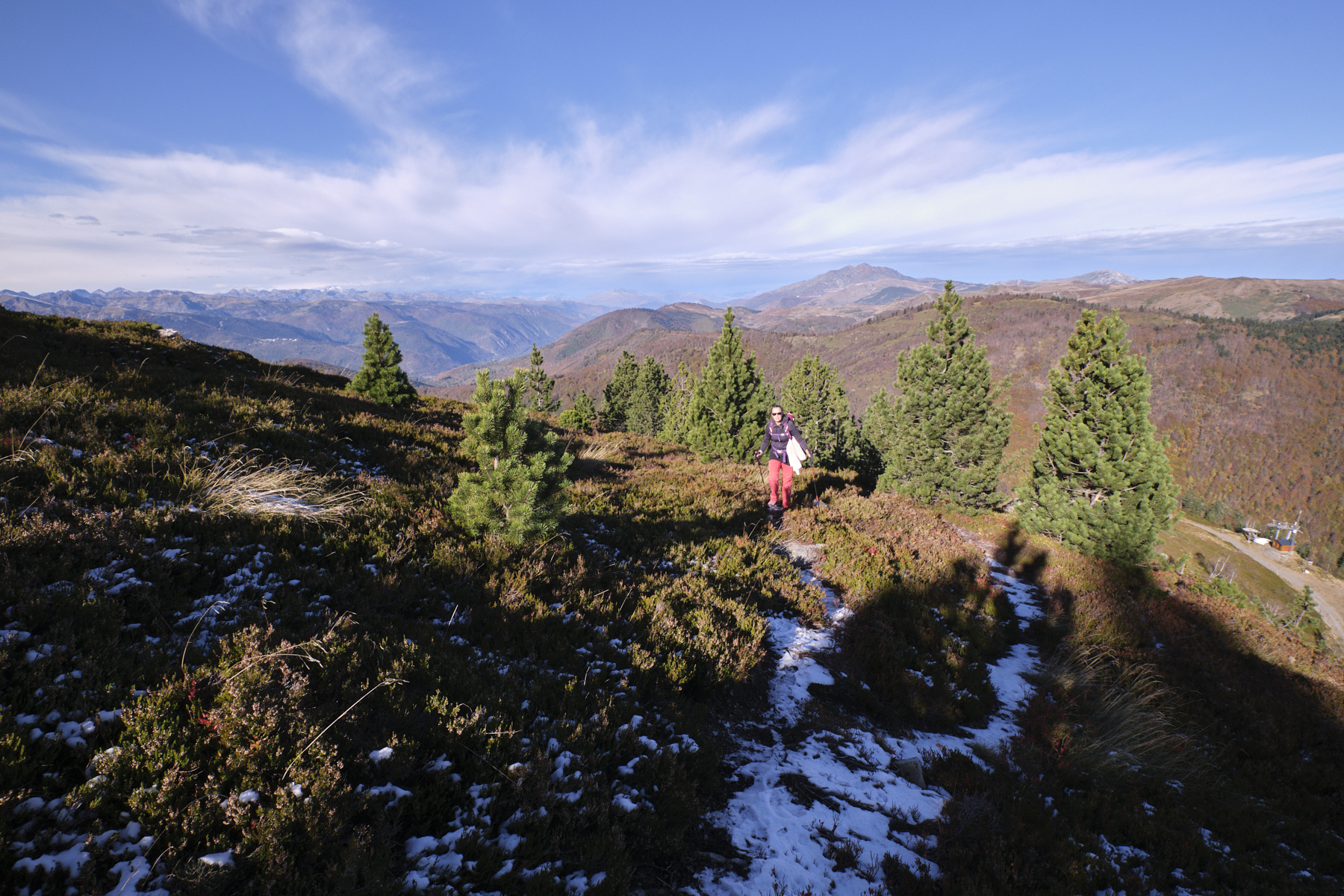
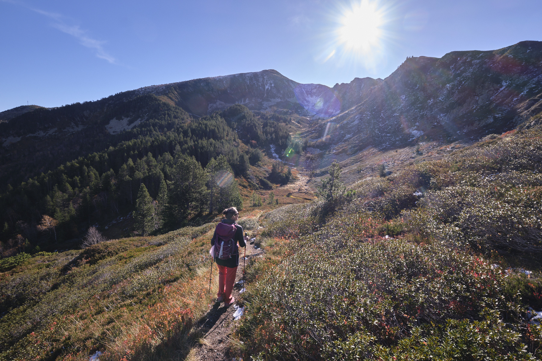
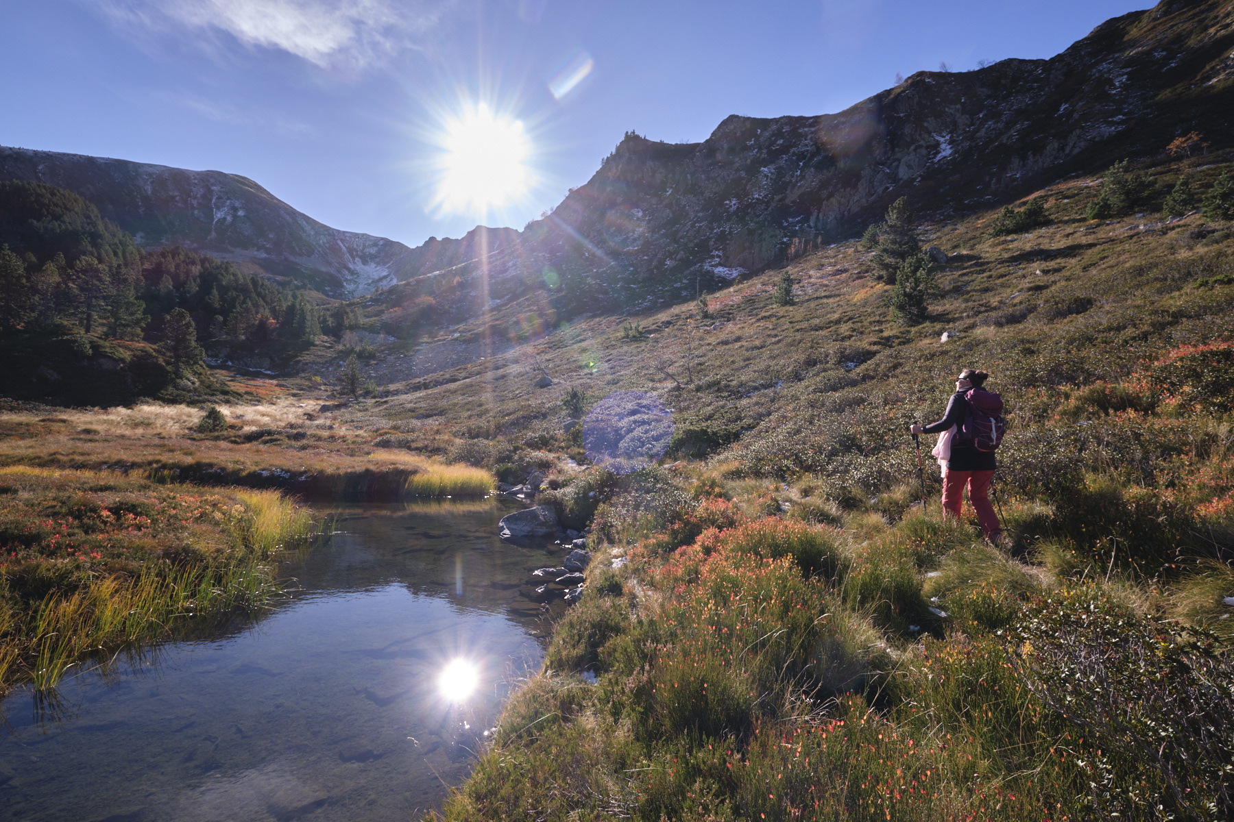
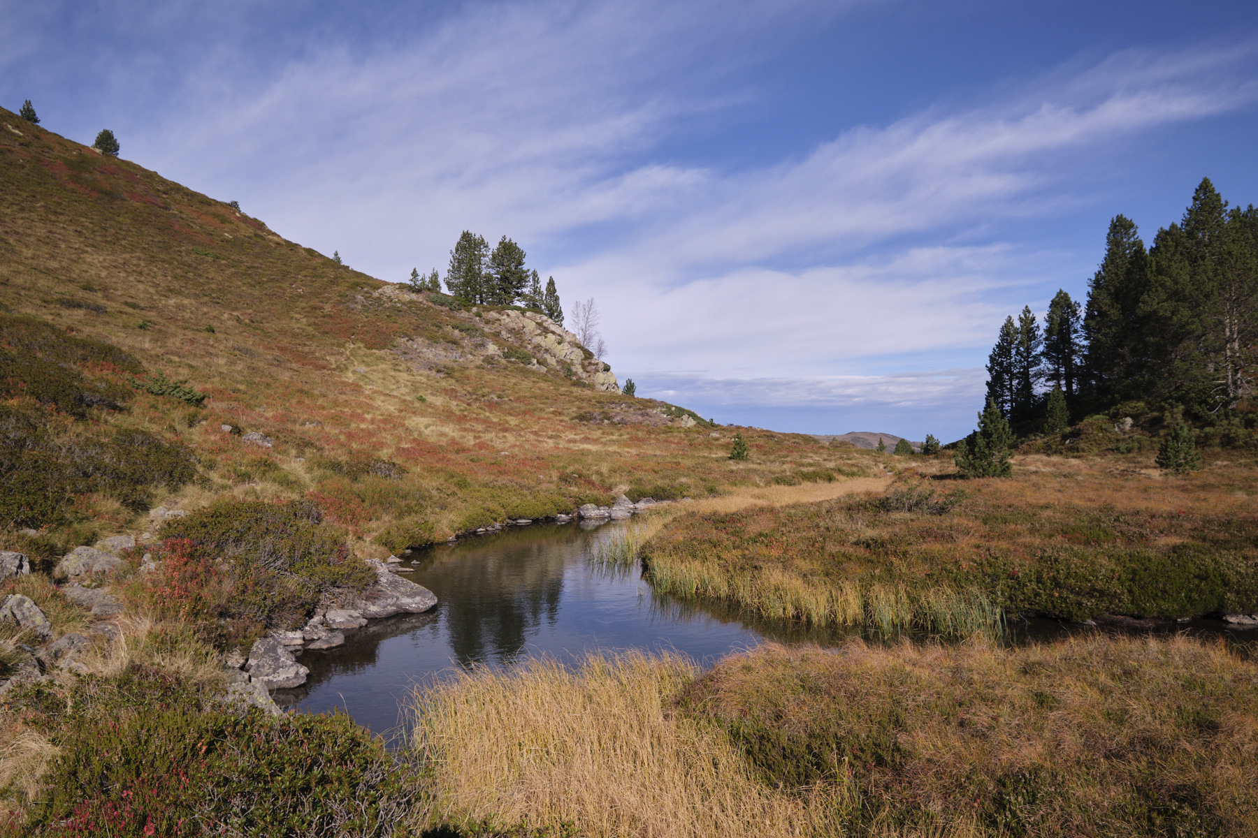
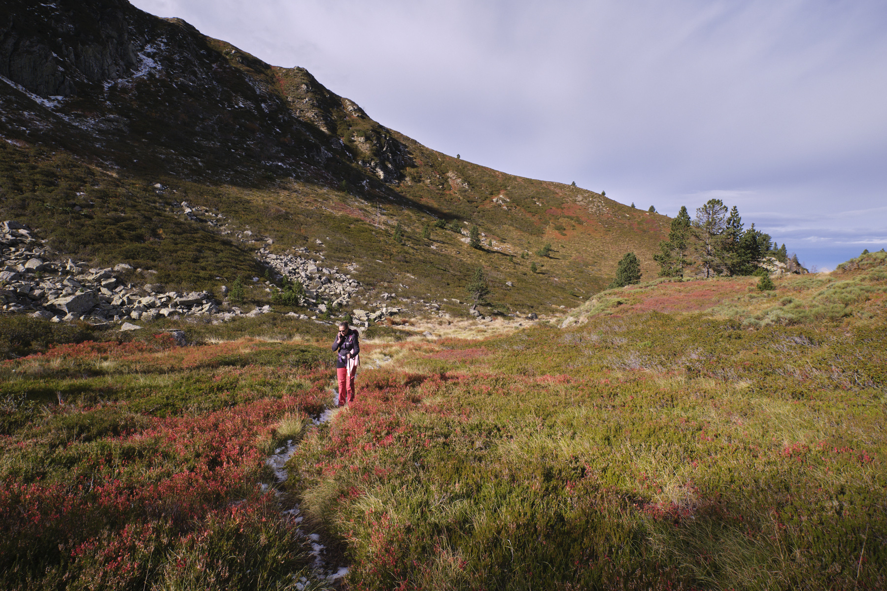
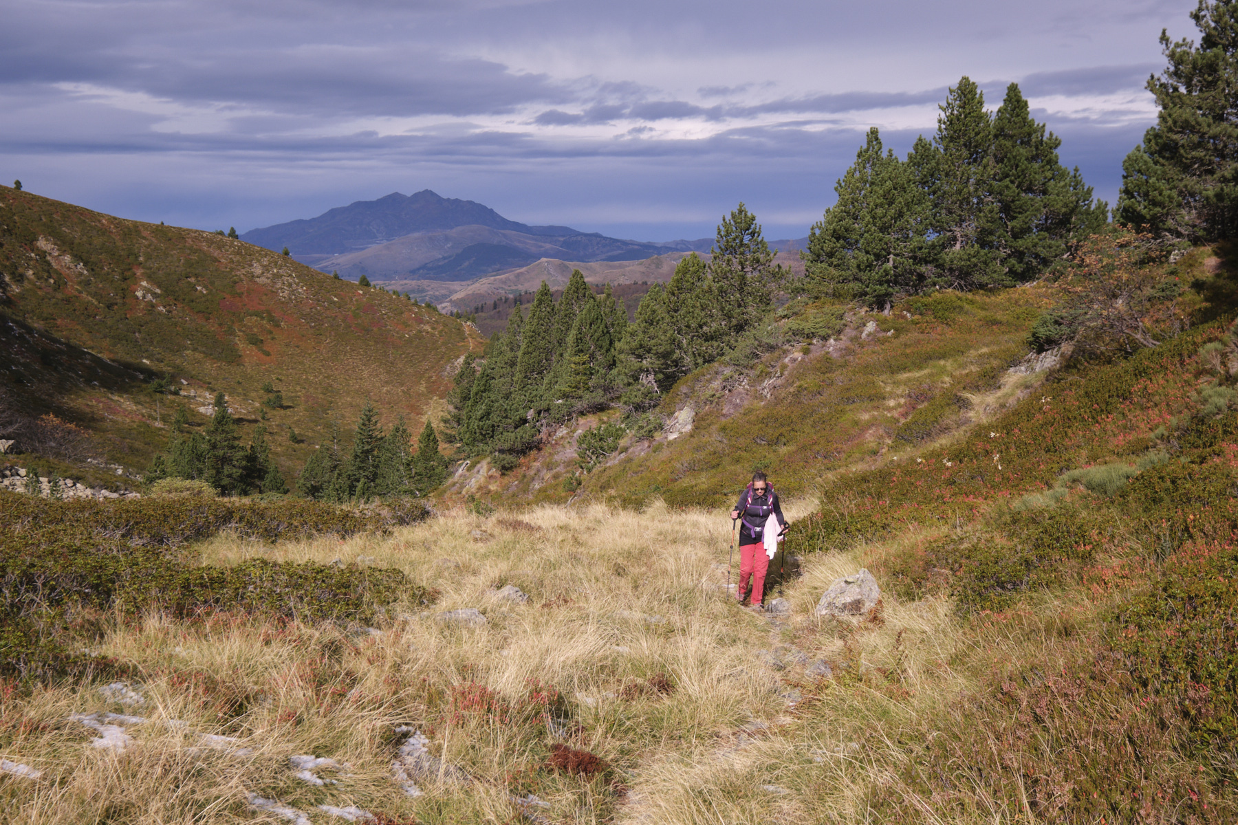
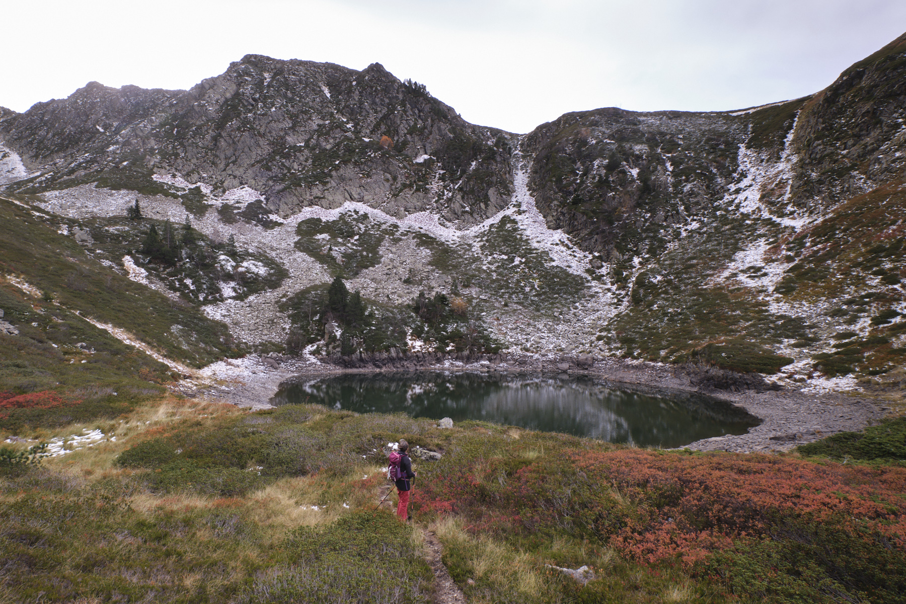
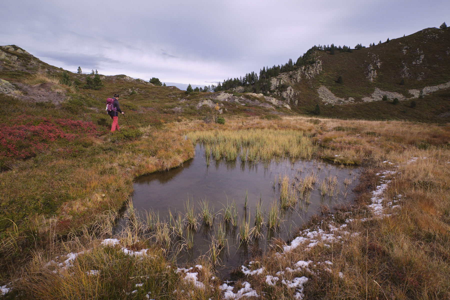
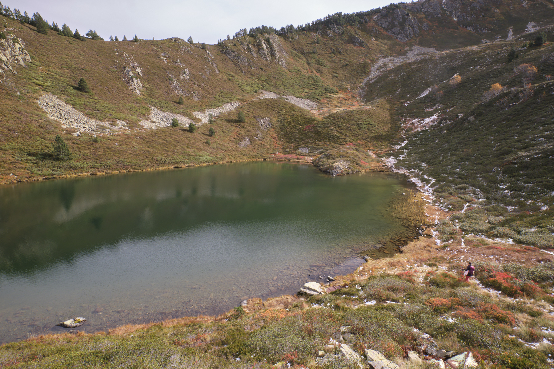
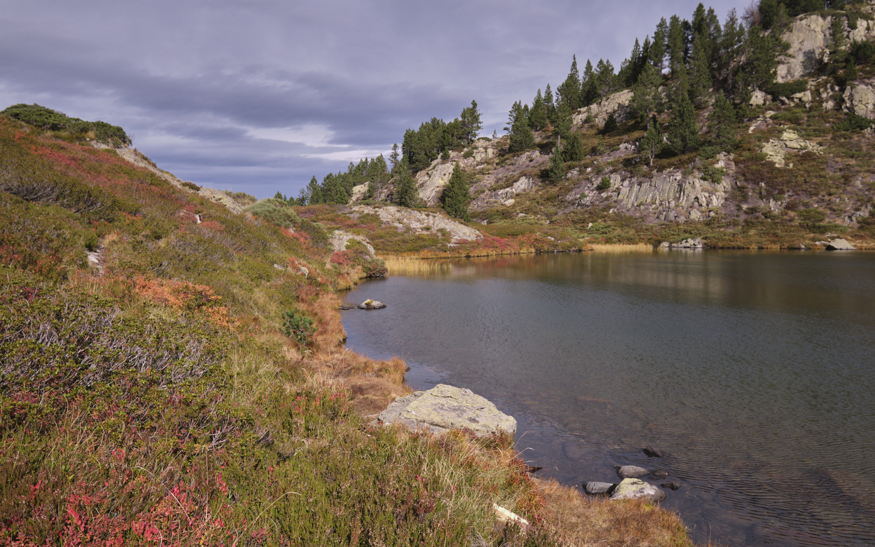
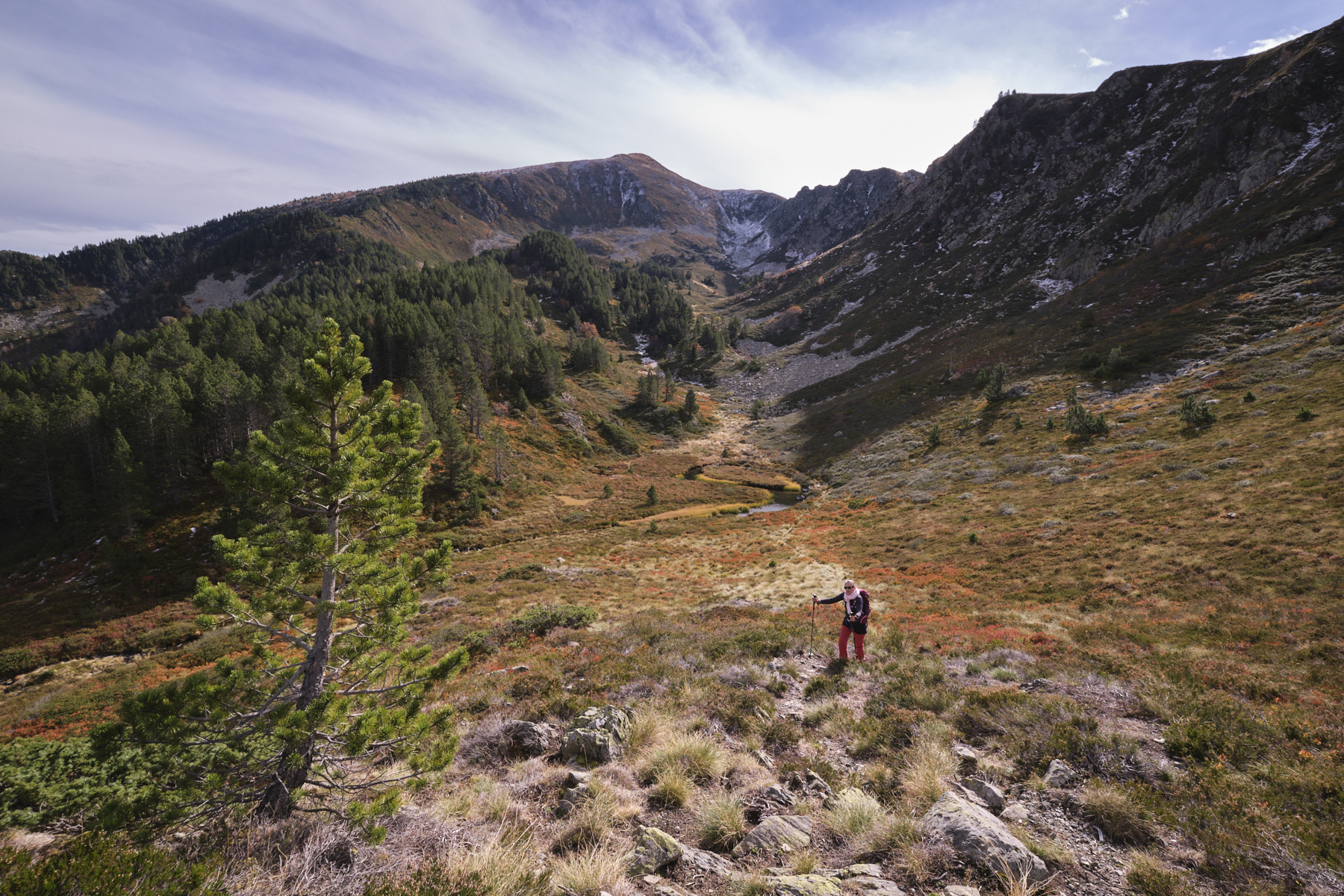
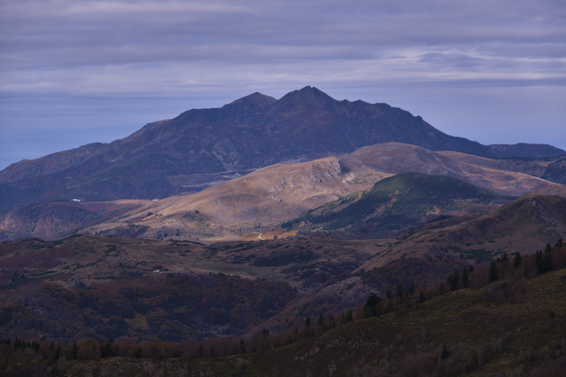
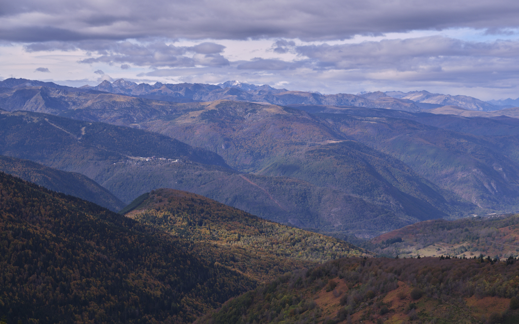
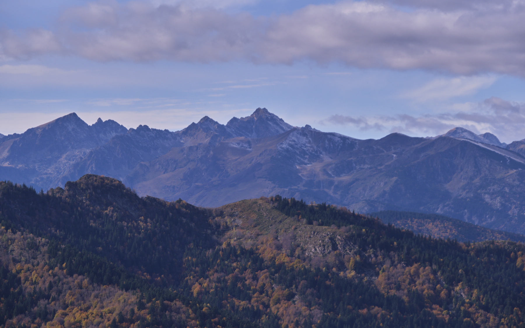
From the Ascou-Pailhères ski resort, a short path climbs above the ski area to access a small upper valley below the Pic du Tarbésou and discover 2 splendid high-altitude ponds. The hike is accessible to all, although there are a few fairly steep sections to negotiate. The route is an out-and-back, but there is an option to climb to the Pic du Tarbésou via the Bauzeille ponds, extending the path that joins the classic GR higher up. The views and panoramas of the Pyrenees are superb, even more so in autumn colors like today's.
❱❱ Technical summary
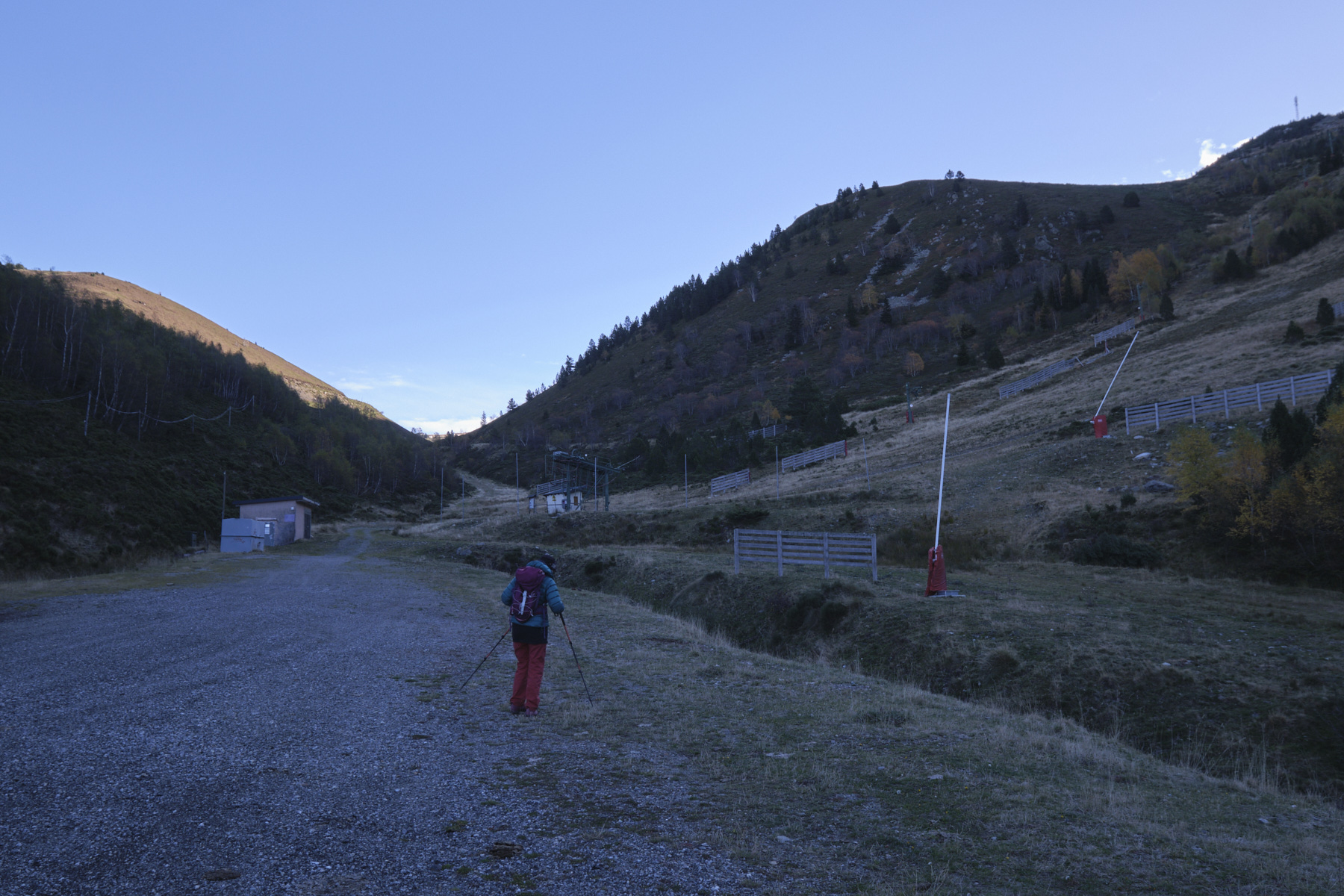
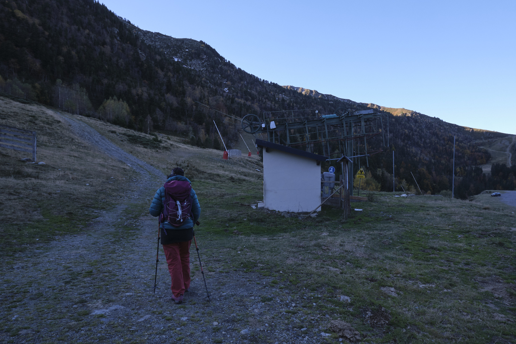
■ Departure point: Ascou-Pailhères resort, Ascou, Ariège (09)
■ Type of route: out-and-back mid-mountain hike
■ Distance: 6 km
■ Cumulative elevation gain: +350 m
■ Cumulative negative altitude gain: -350 m
■ Estimated total duration: 2h30 to 3h30
■ Min and max altitude: 1690 m / 1980 m
■ Marking: no, but a wide track and a well-marked trail
■ Equipment in place: none
■ Equipment required: none
Difficulty: none except for a few steeper sections.
❱❱ Access to the place
From Ax-les-Thermes, climb up to the Col du Chioula, then turn off towards the Col d'Ascou-Pailhères on the D-25. Pass the village of Ascou, then Goulours and Lavail and continue towards the ski resort. Drive past the resort, up the first 4 hairpin bends and park on the right at the 5th bend in the large parking lot at the foot of the Mounégou ski lift.
❱❱ Map & topo
❱❱ Itinéraire


Leave a Reply