


TOPO Via ferrata | CLIMBING7.COM
Publié le
 Partager sur WhatsApp
 Partager sur Twitter
Partager sur Instagram
Partager sur Twitter
Partager sur Instagram

 Partager sur Facebook
 Imprimer le topo
 Laisser un commentaire

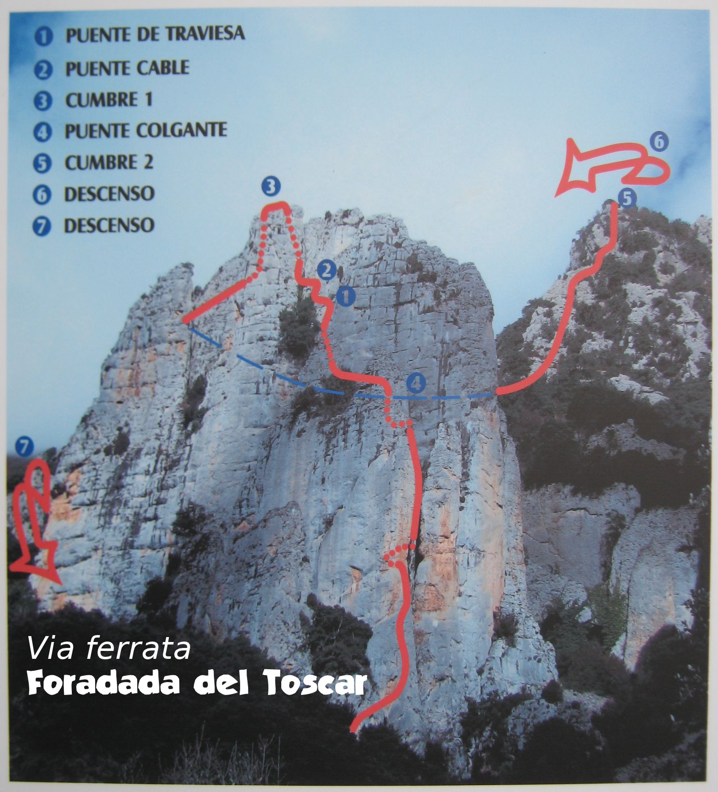
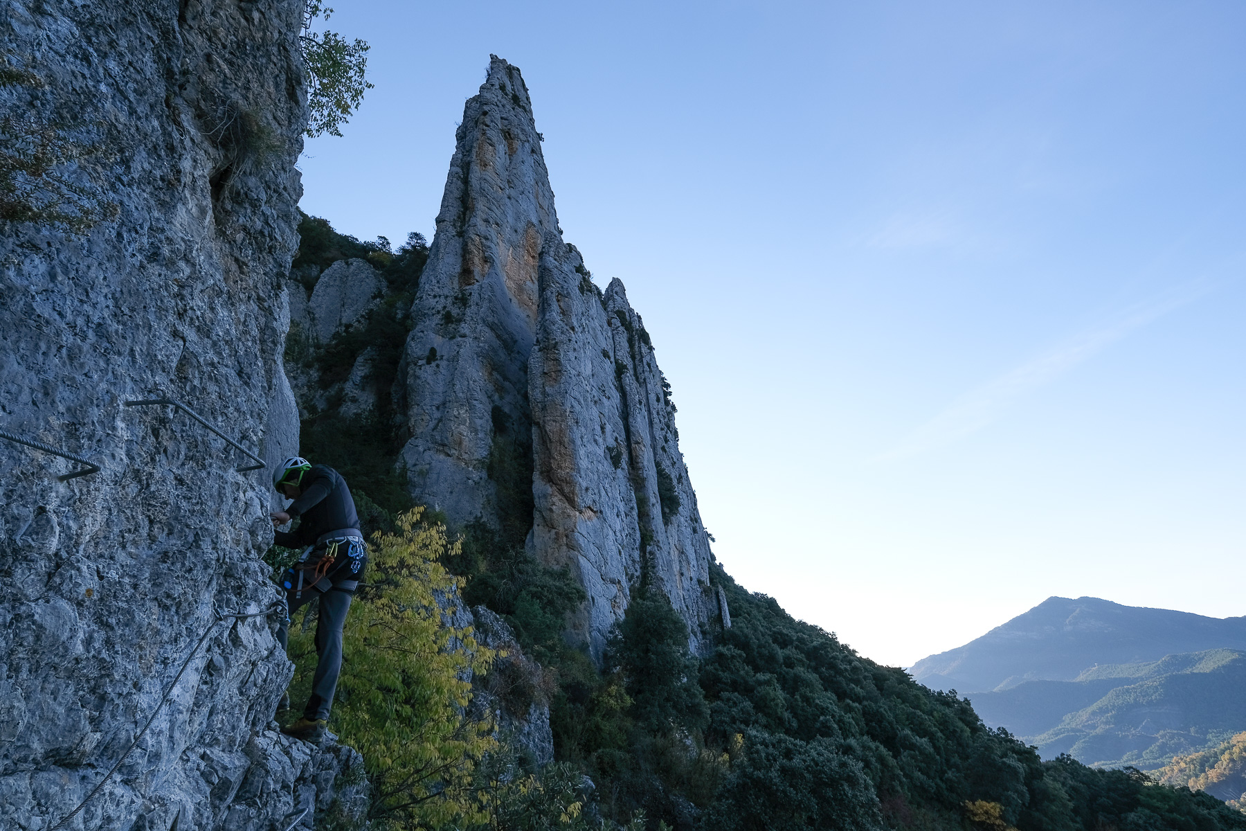
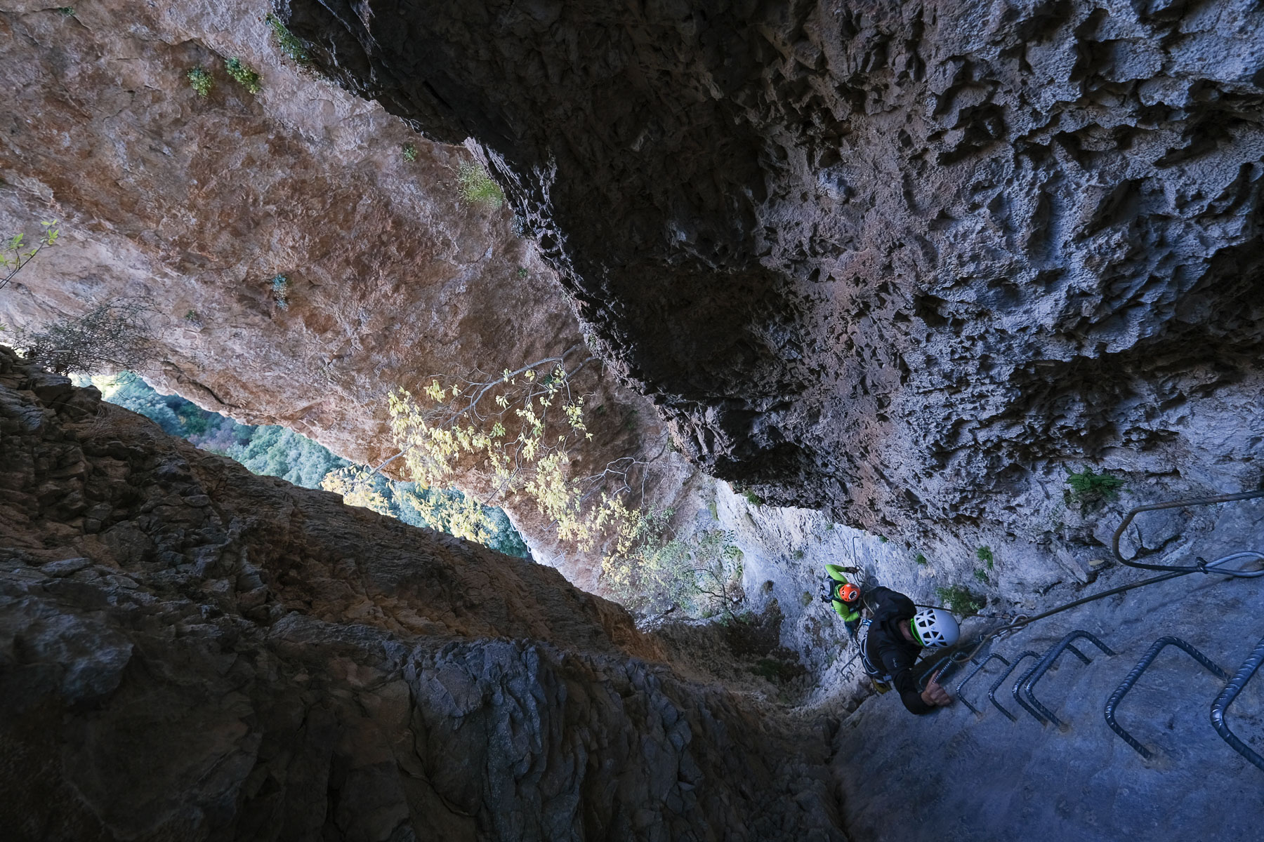
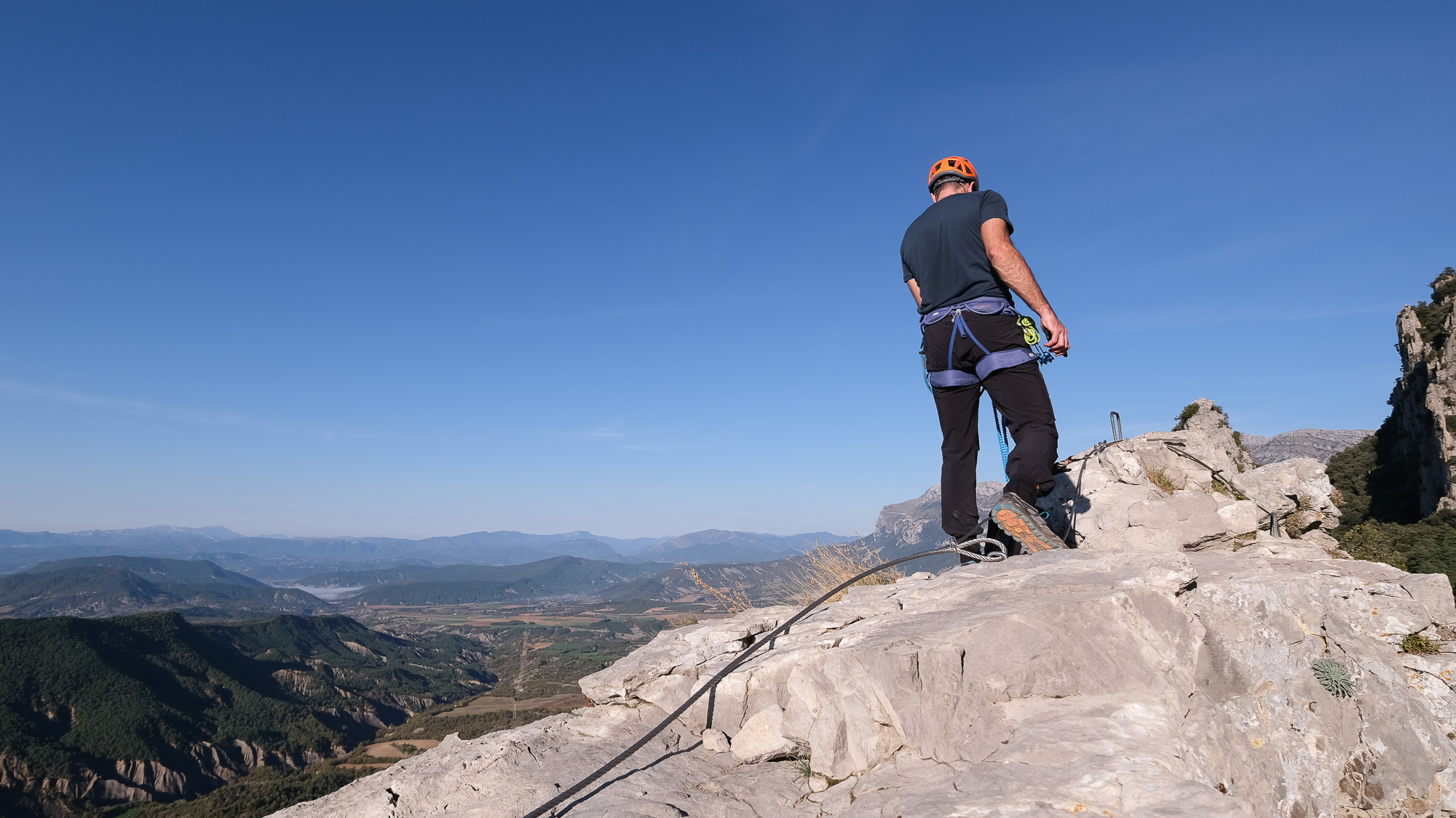
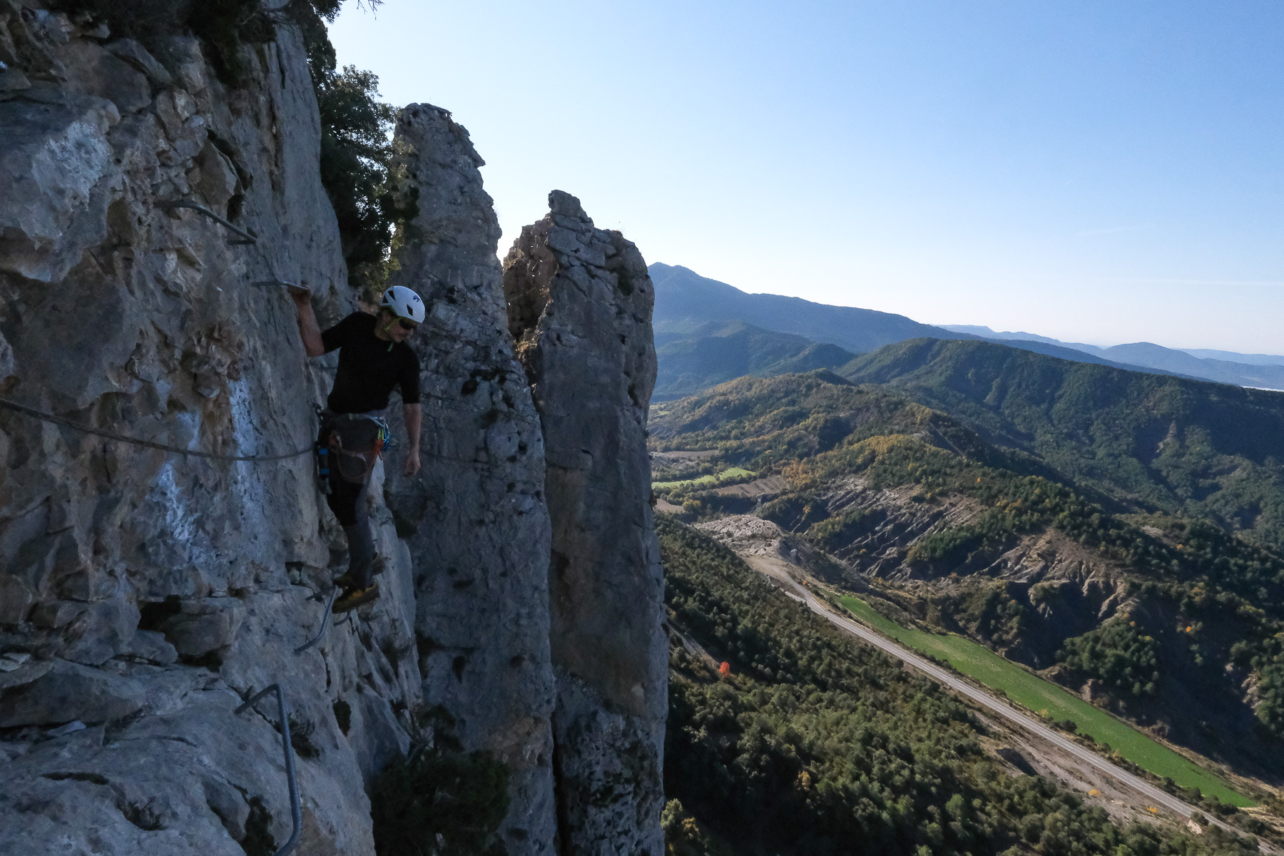
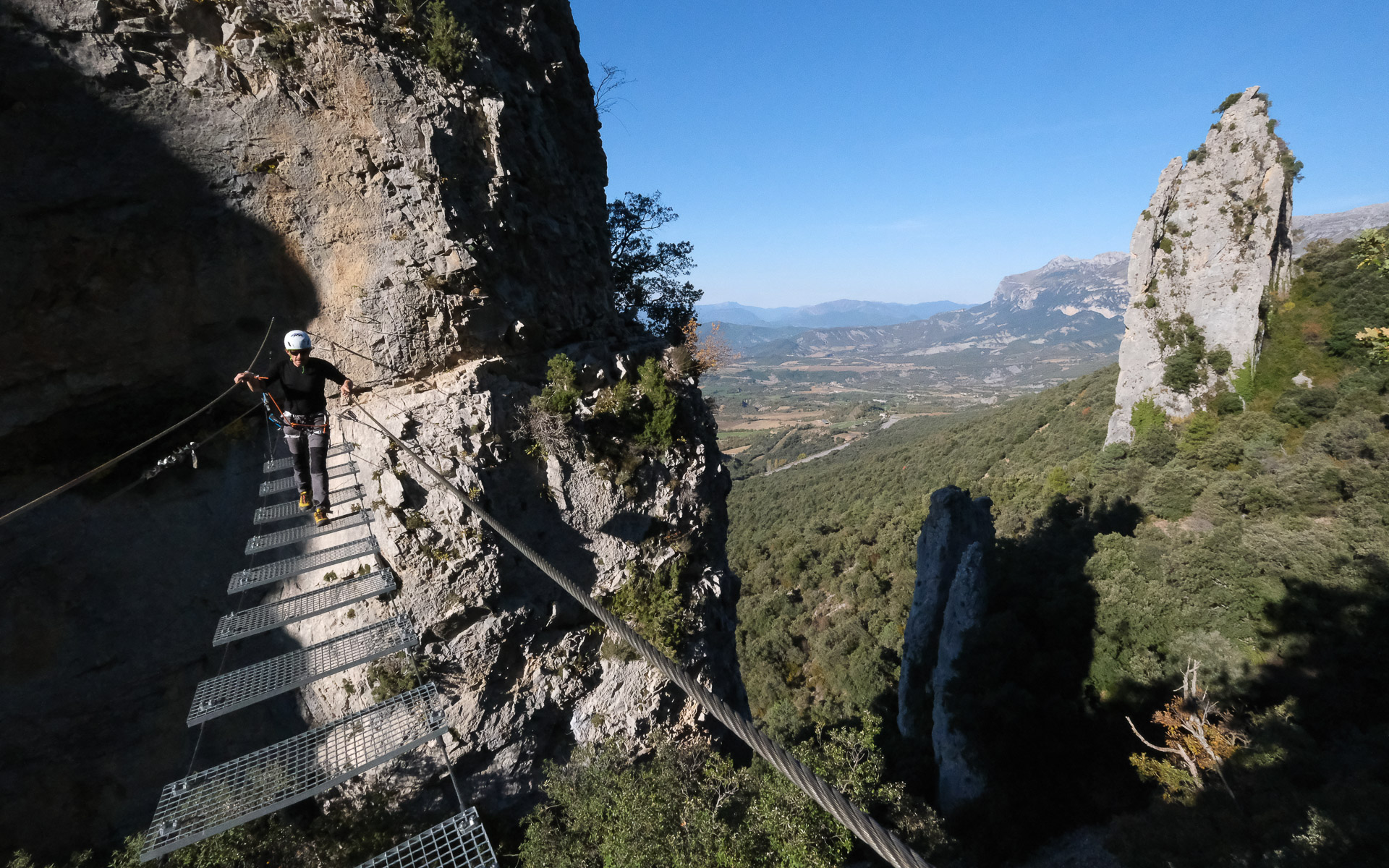
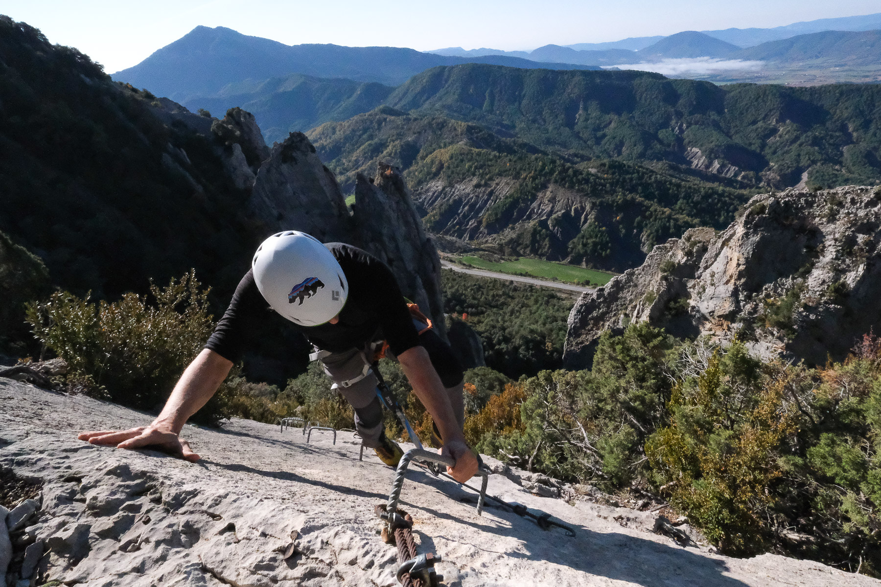
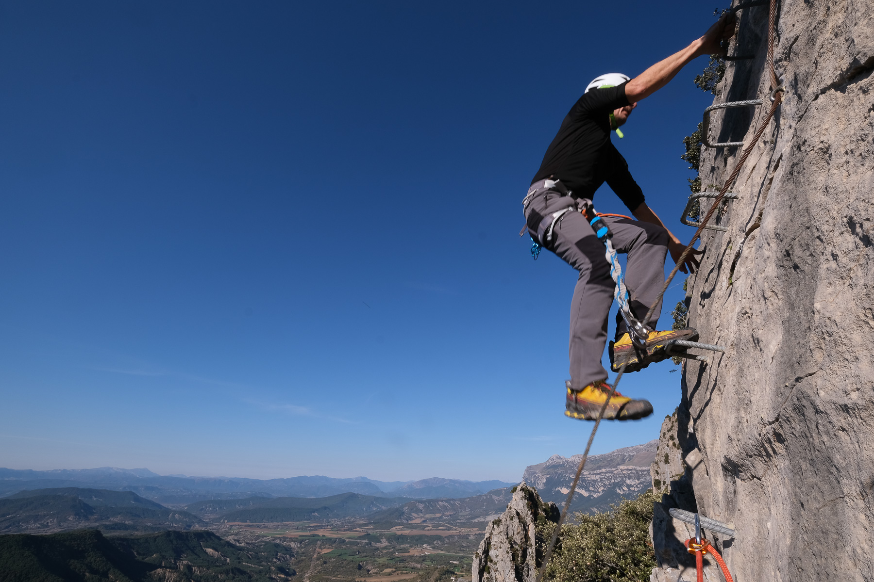
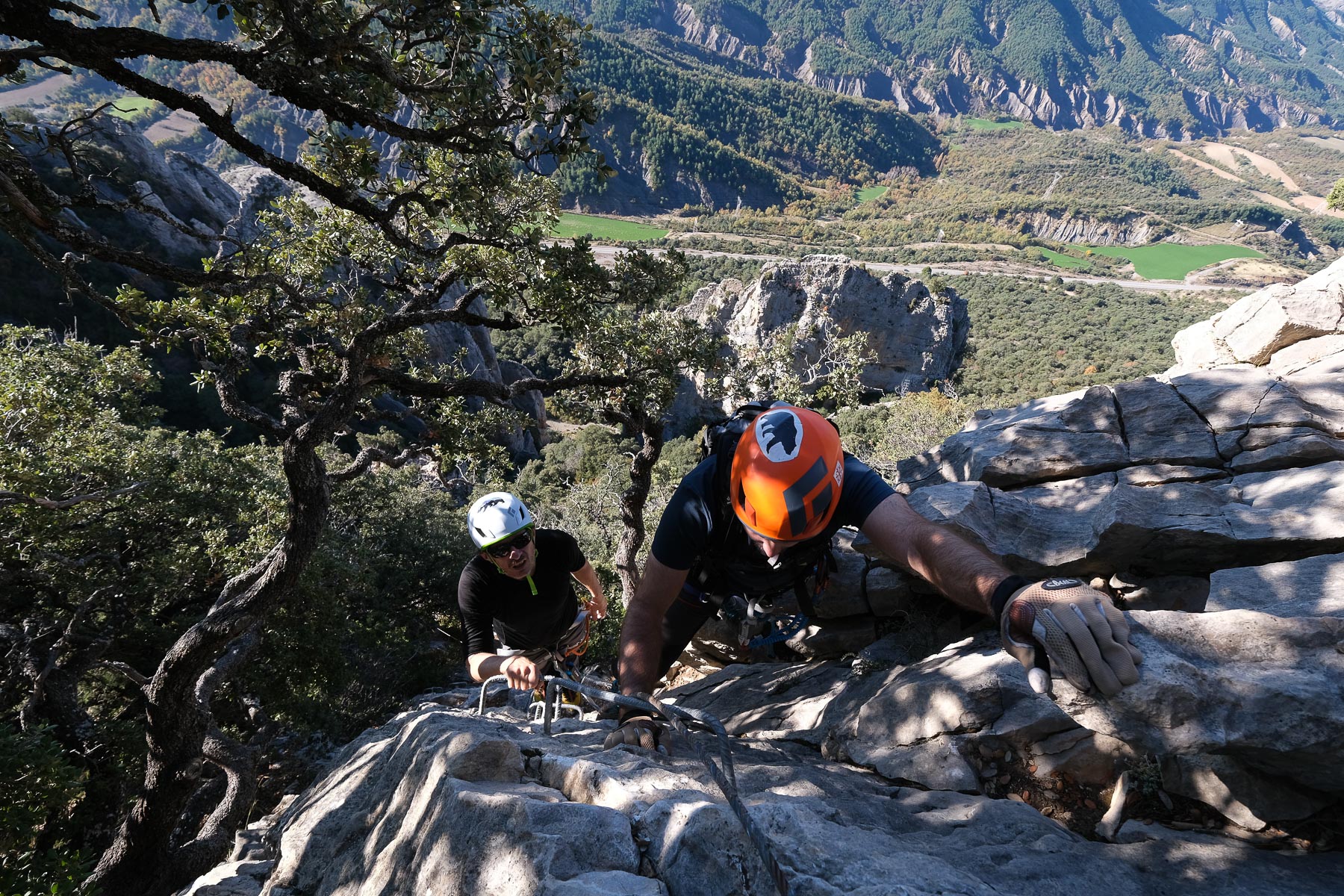
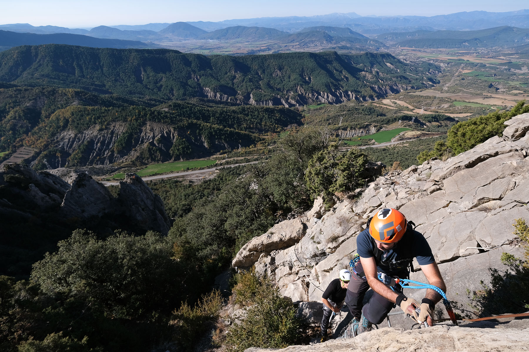
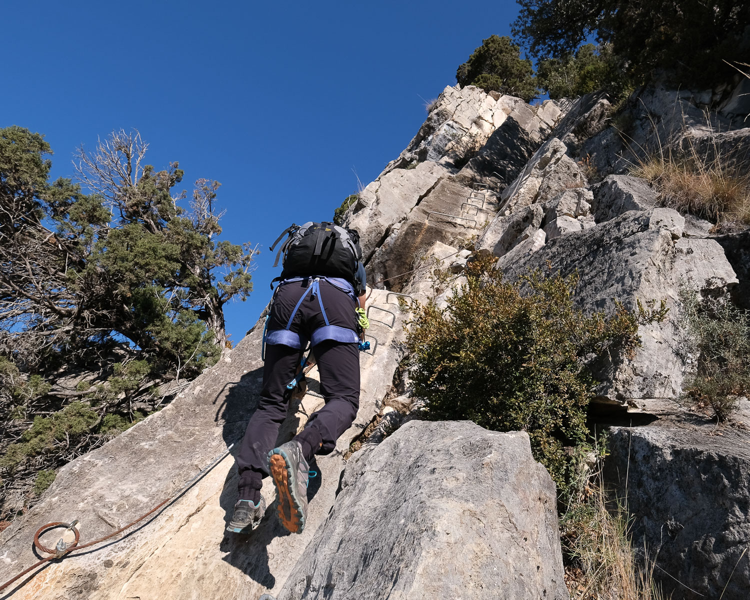
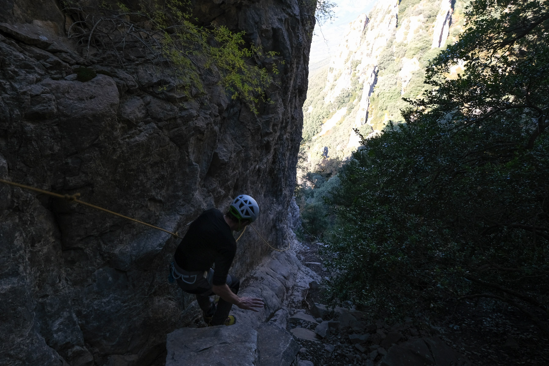
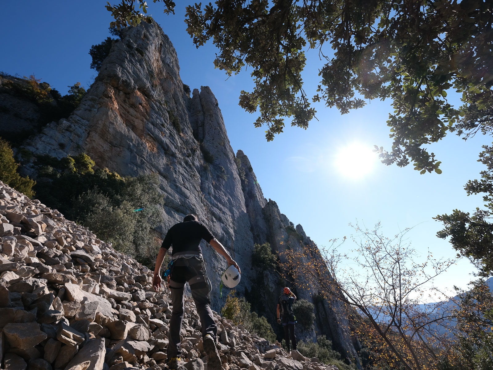
Set in the magnificent setting of the Alta Aragon region, a few kilometers east of Ainsa, this ferrata is well worth the detour. The 1st part of the route follows the faces, edges and hollows of an imposing rocky peak facing due south, then continues on the other side of a large suspension bridge to climb a second, less vertical peak, via a series of inclined slabs. At the summit, the view of the site and the region is breathtaking. A long climb, demanding in its continuity of effort, very aerial in places, varied, very well equipped - in short, very good.
❱❱ Technical summary
■ S tarting point: on the N260 between Ainsa and Campo, Aragon, Spain
■ Type of route: via ferrata
■ Direction: south
■ Length: 600 m
■ Vertical rise: +240m
■ Estimated total time: 2h to 3h
■ Min and max altitude: 990 m / 1340 m
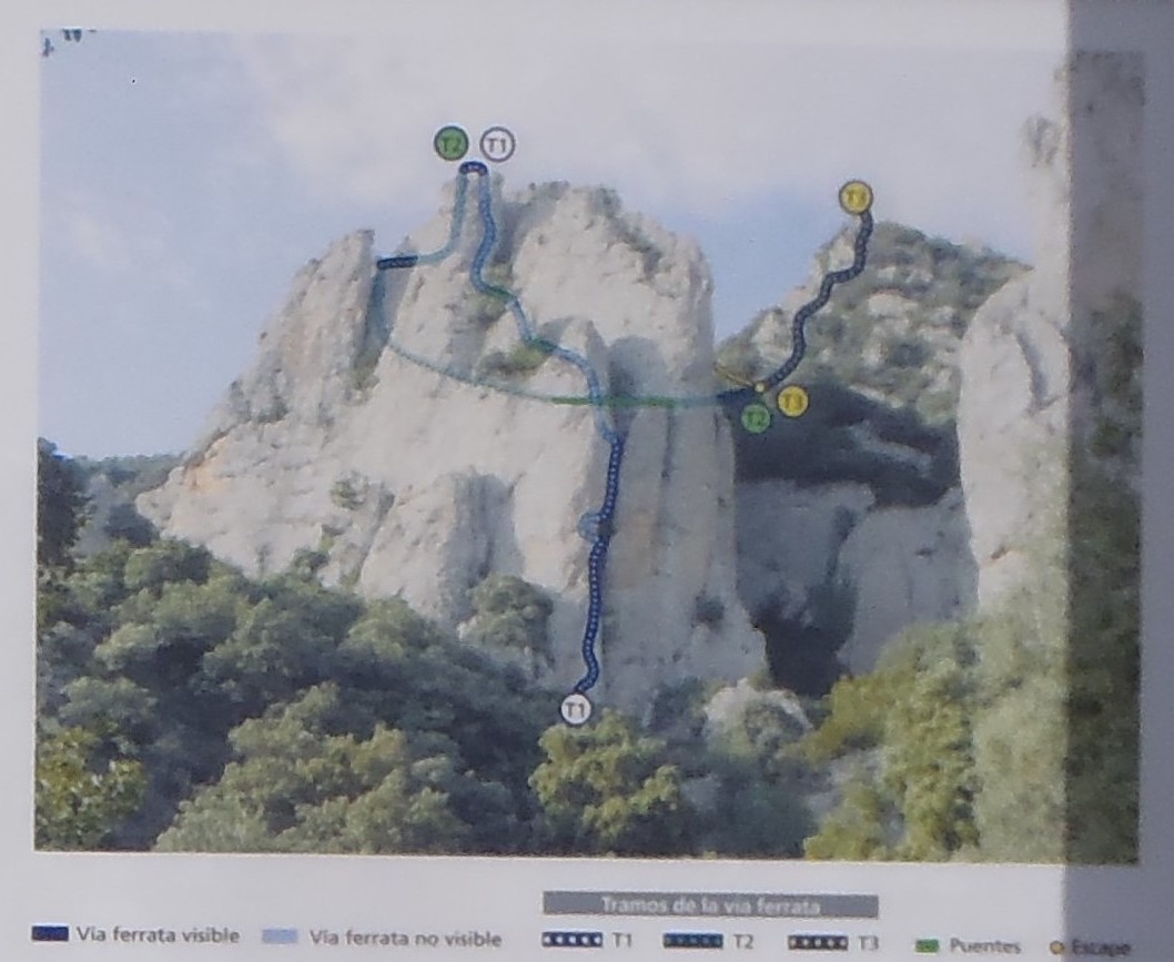
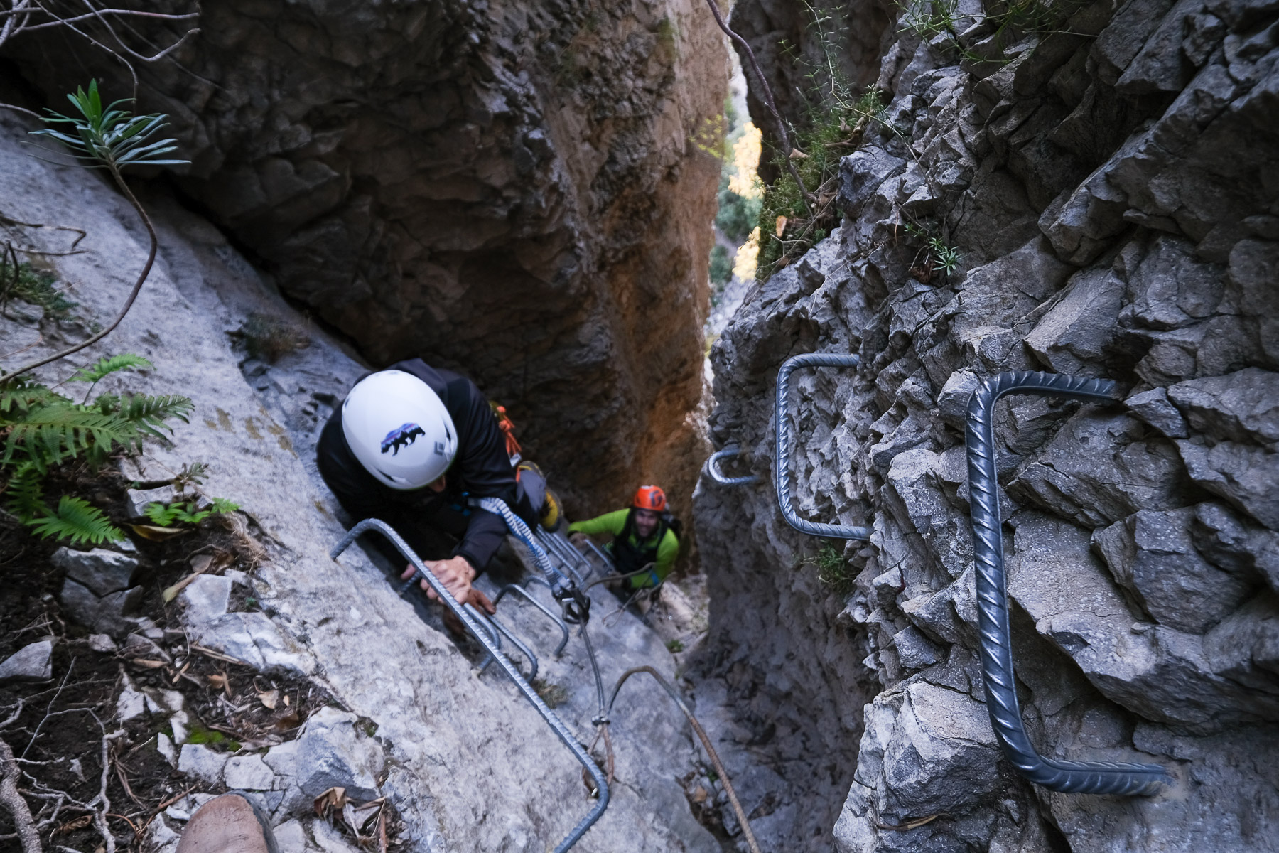
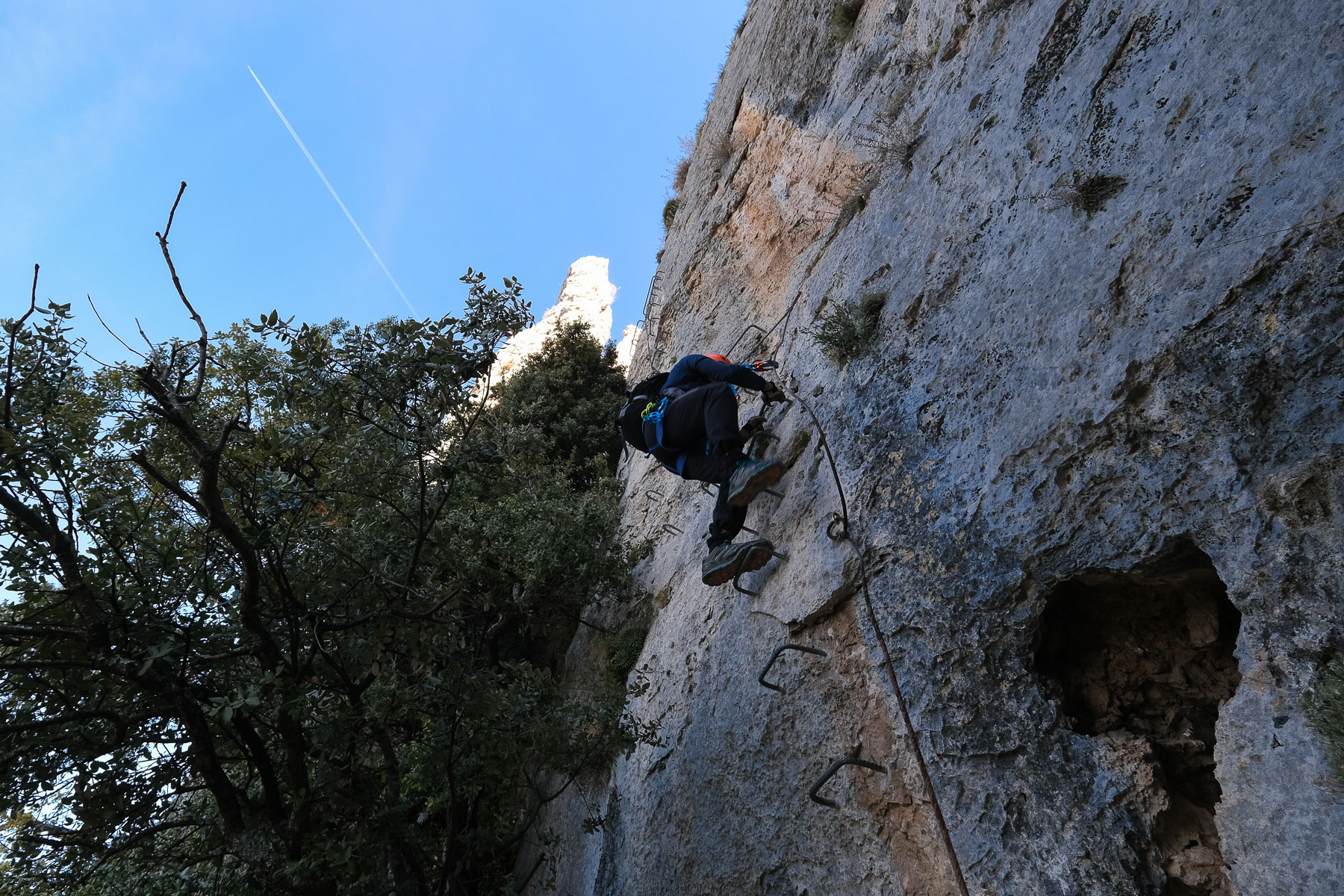
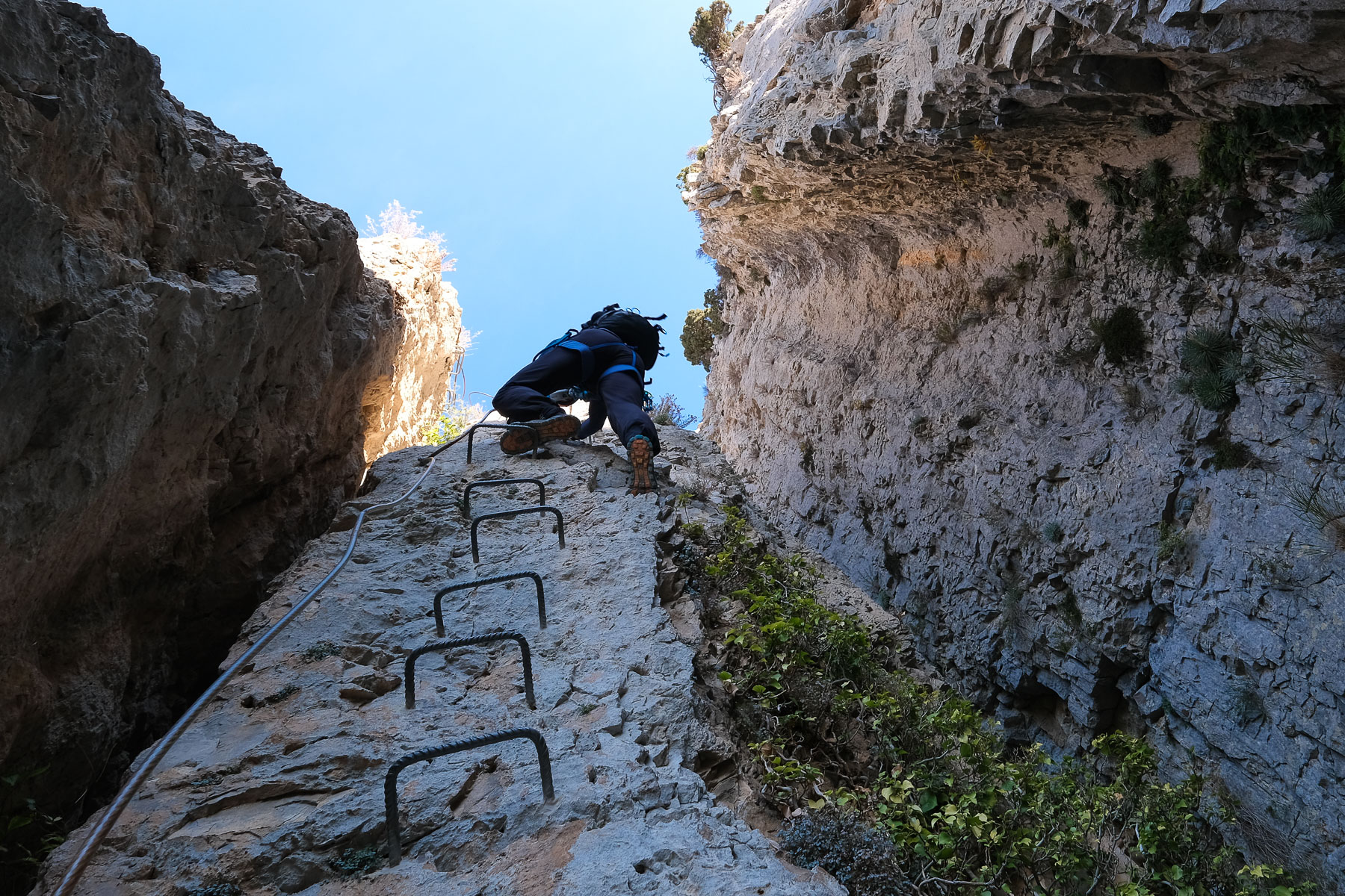
■ Equipment in place: excellent, bars, chain, nails, 1 small monkey bridge, 1 footbridge, 1 suspended platform
■ Equipment required: standard equipment
Difficulty: K4 or Difficult
❱❱ Access to the place
From Barbastro, turn towards Ainsa and then right towards Campo on the N-260. The road approaches and then skirts a huge mountain range. Pass Samper and keep an eye out for a sculpture of giant spears stuck in the ground, a tribute to King Gonzalo de Ribagorza. A little further on, on the left, is the start of a track where you can leave your car. Arriving from Campo, drive towards Ainsa on the N-260 and a little after the village of Foradada del Toscar, you'll find the scupture on the left, with the track leading up to the ferrata just ahead on the right.
❱❱ Map & topo

❱❱ Itinéraire
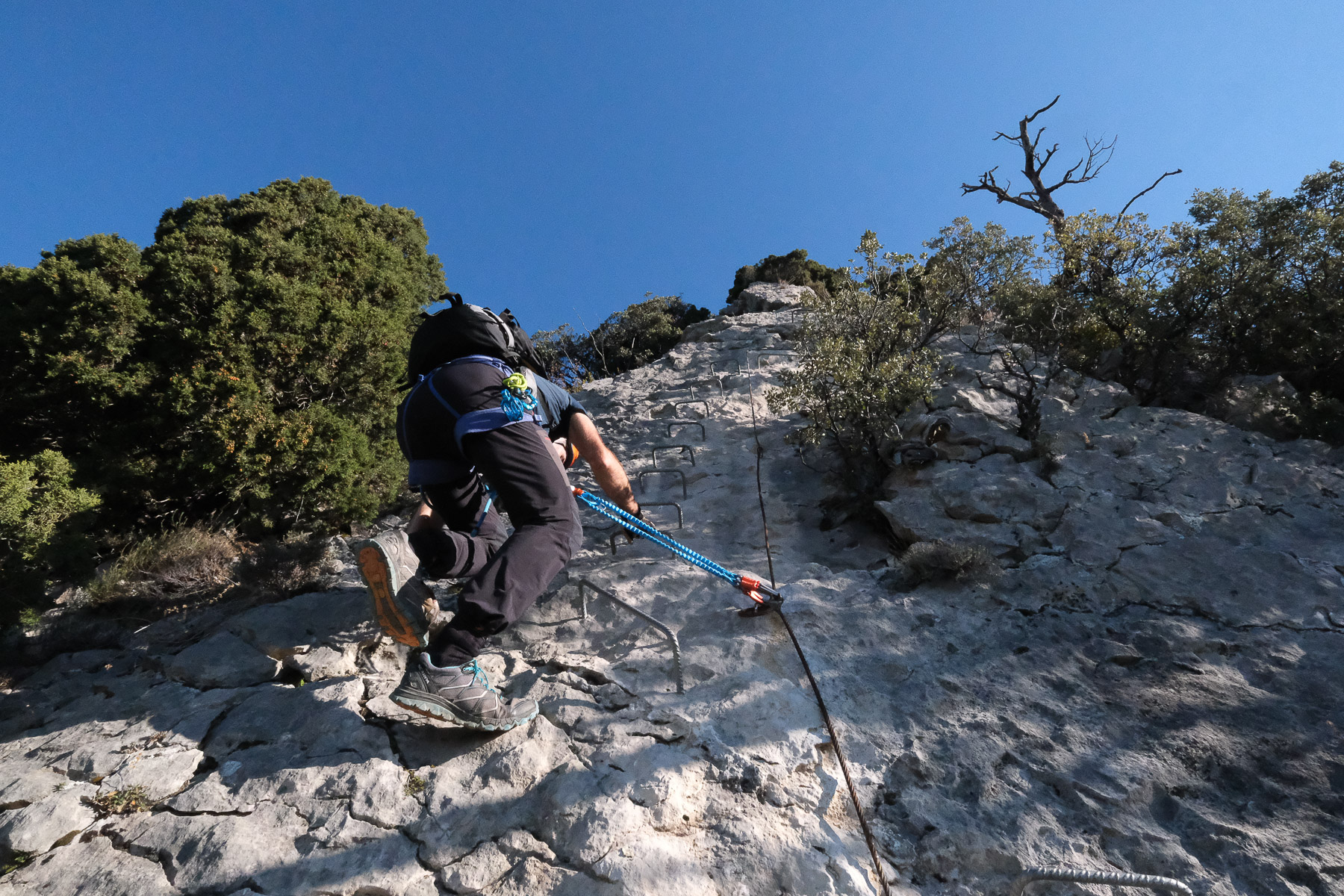
Go up the wide, winding track, then head more to the east. This is indicated by small signs. After the 2nd bend, leave the main track and go straight up, then the track becomes a path which leads to the foot of the track.
The ferrata, opened in 2000, faces south. The equipment is very good: rungs, chains, nails, suspension bridge. There is an escape route after the bridge and before the final section.
Take the path back down behind the summit. We have to de-escalate a little and then descend a decomposed path with the help of a few knotted ropes in average condition. Continue along the path, which becomes more practicable below and finally reaches the foot of the ferrata after about 20′. Return to the parking lot via the approach track.
The topo of the via ferrata on deandar.com


Leave a Reply