


TOPO Hiking | CLIMBING7.COM
Publié le
 Partager sur WhatsApp
 Partager sur Twitter
Partager sur Instagram
Partager sur Twitter
Partager sur Instagram

 Partager sur Facebook
 Imprimer le topo
 Laisser un commentaire

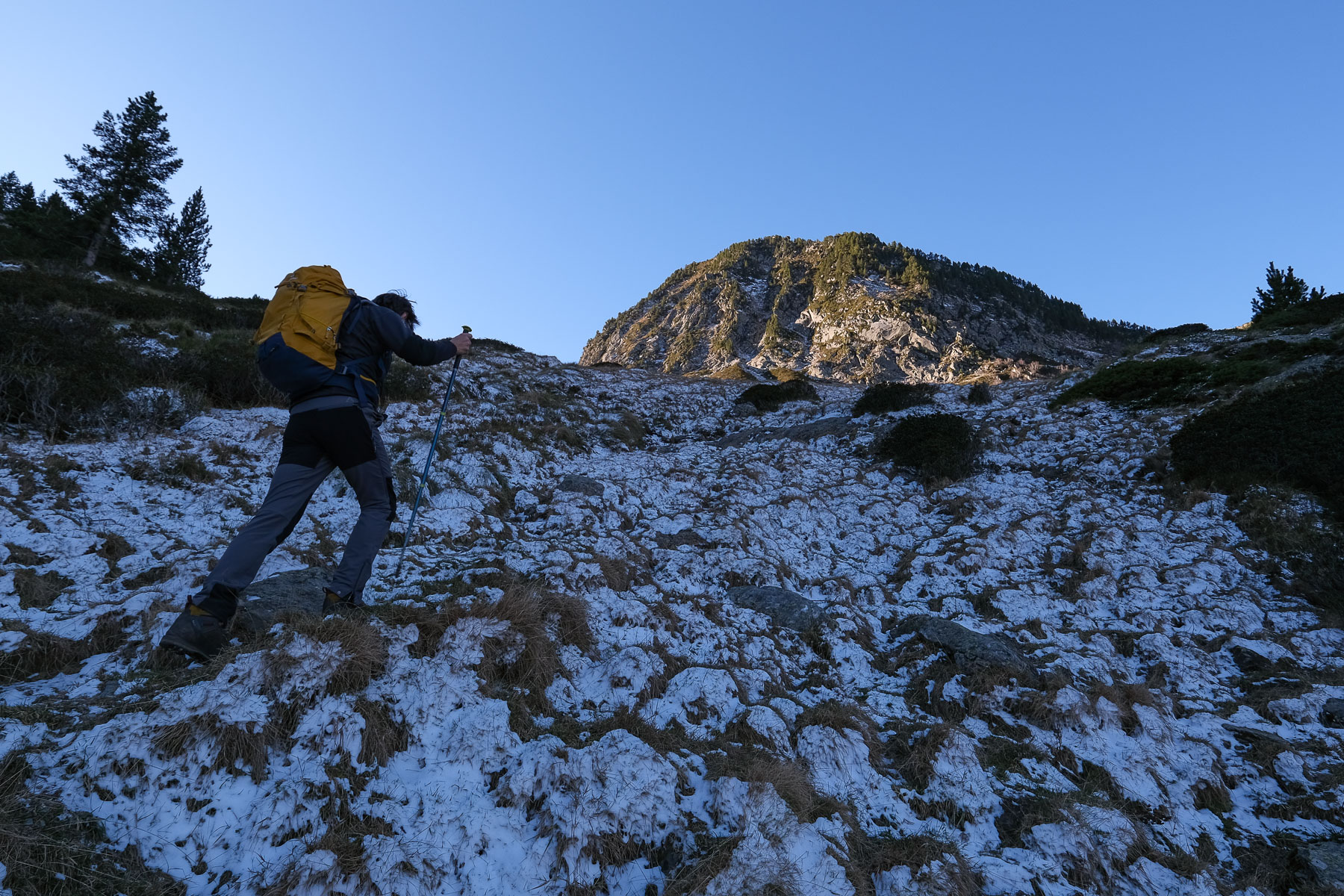
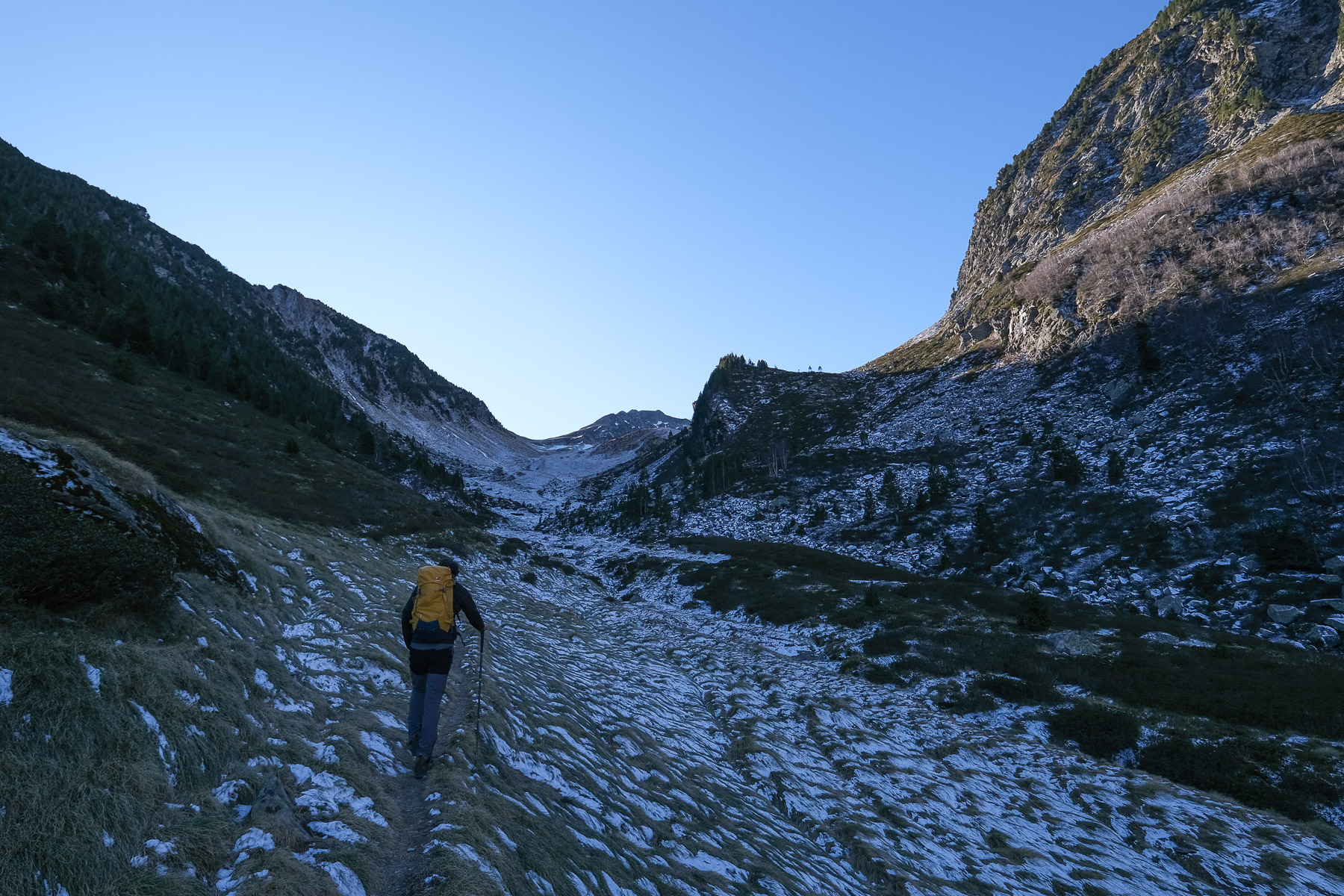
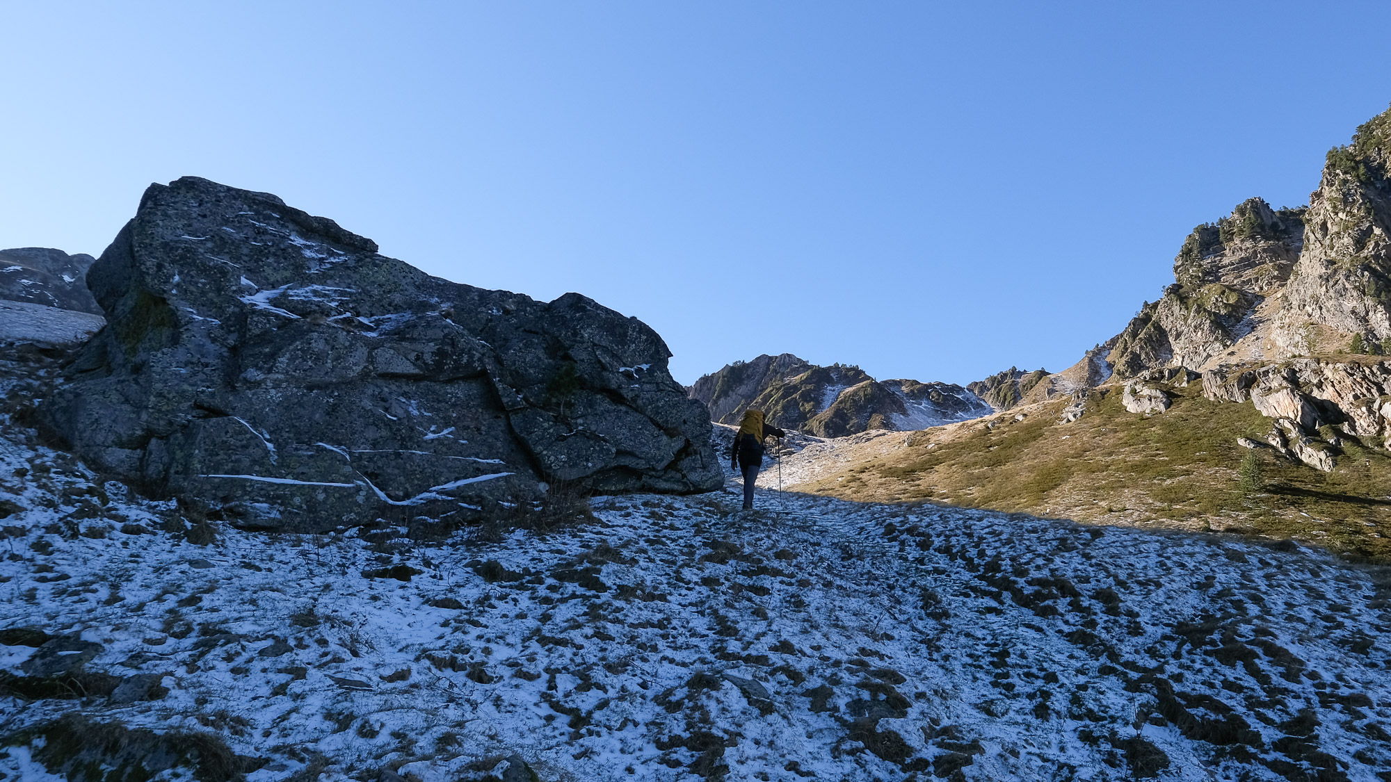
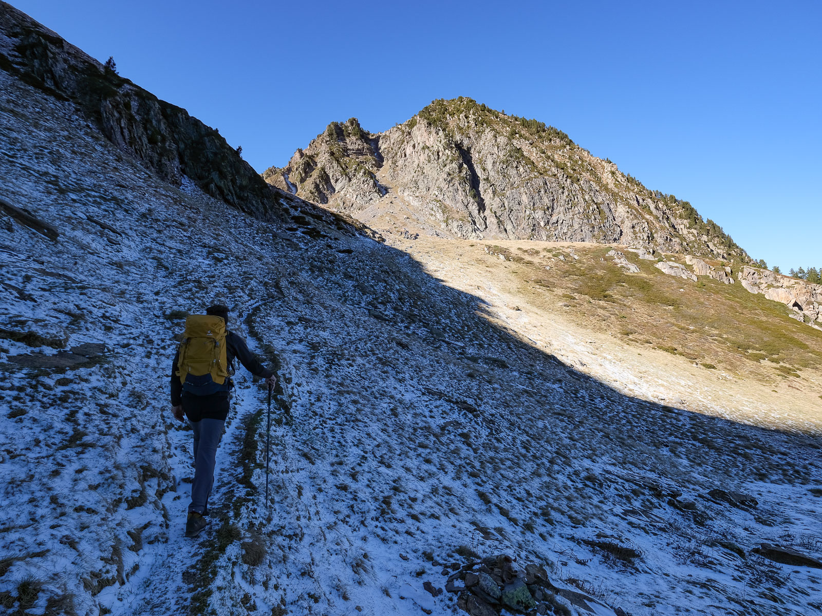
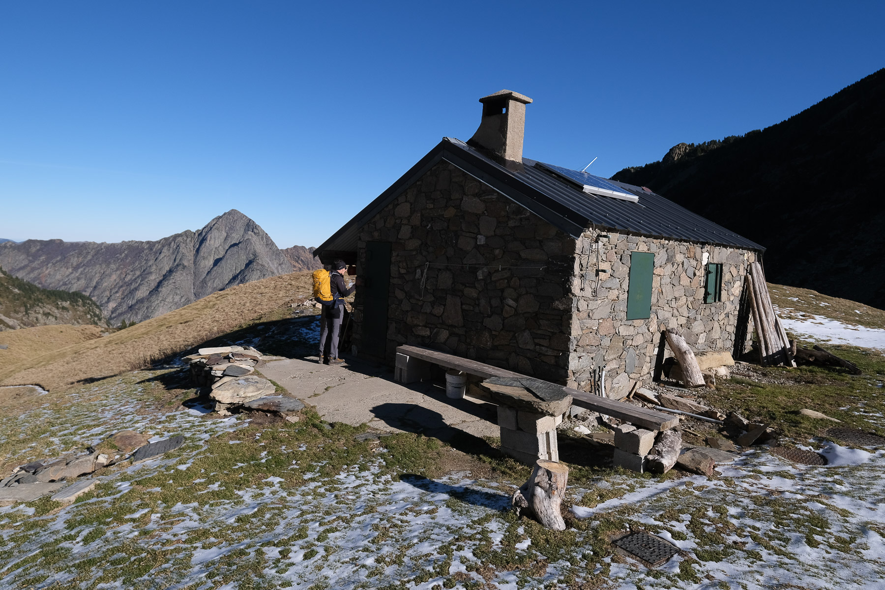
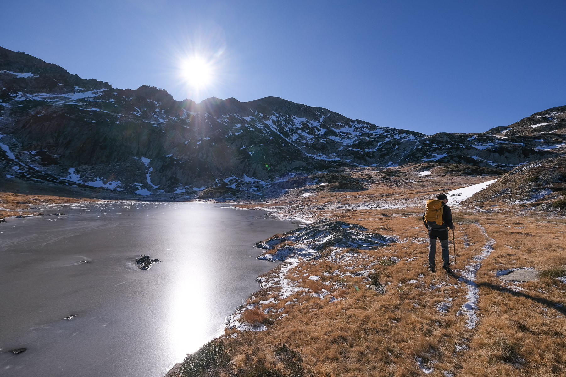
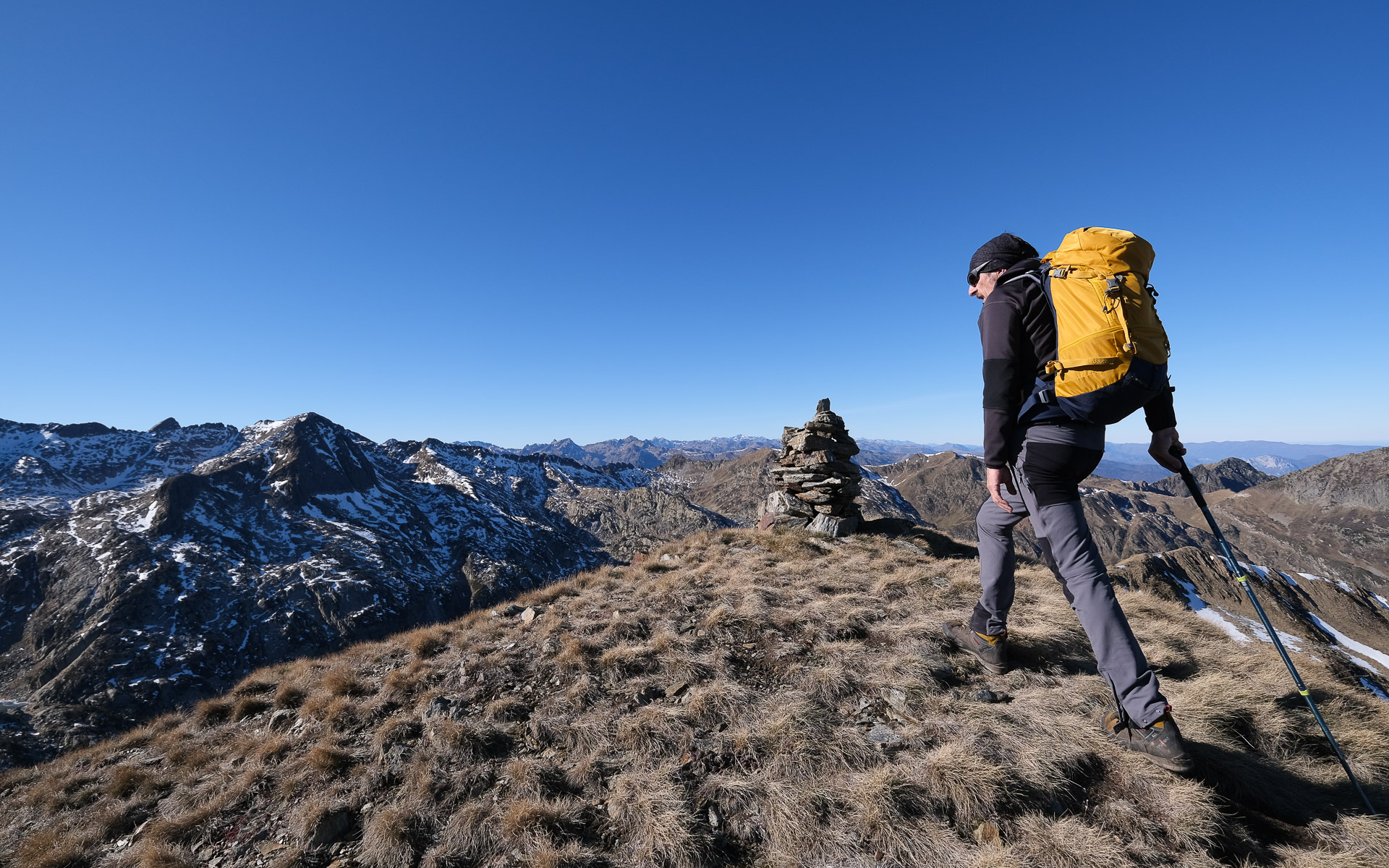
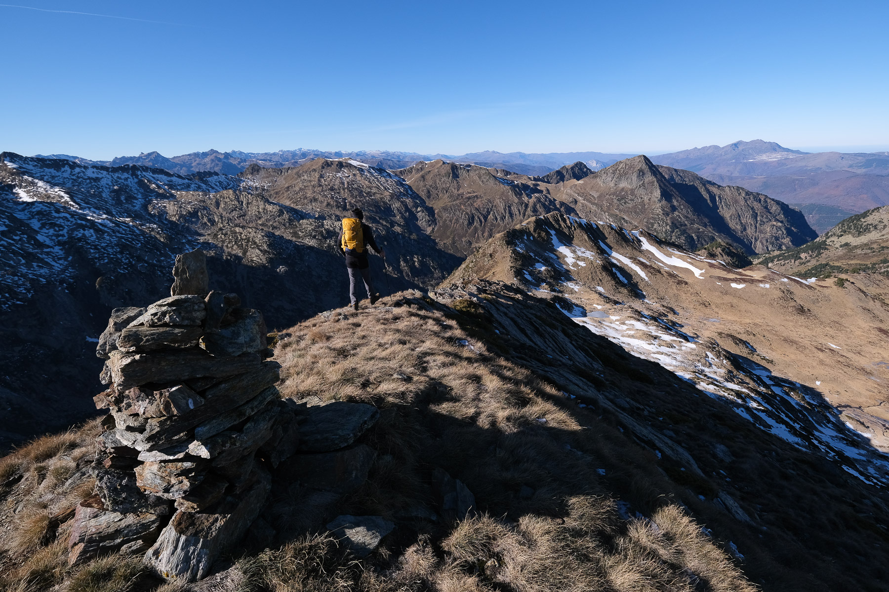
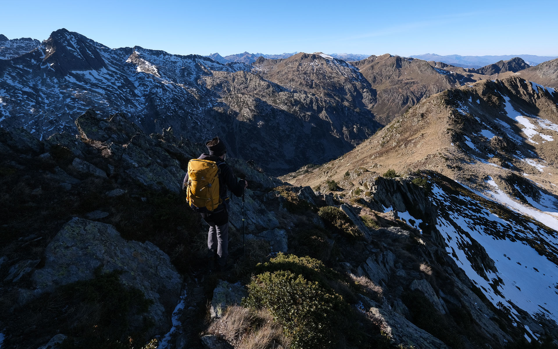
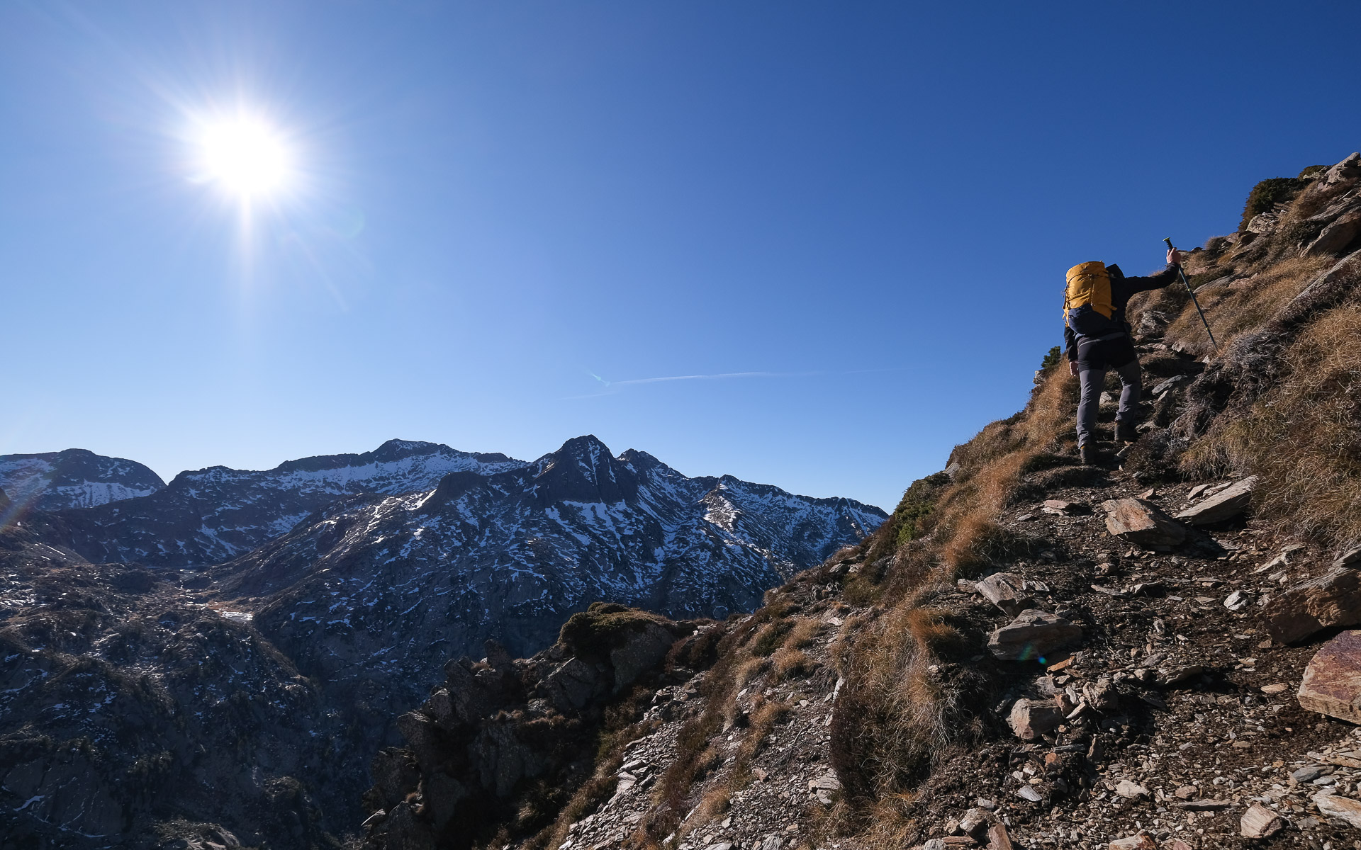
This little-known itinerary to the Pic d'Ouxis offers a spectacular route through the heart of the Orlu National Reserve in Haute Ariège. Above the forest, you reach the splendid Jasse de Parau at 2000m. Higher up, ponds scattered across a wide upper valley beneath the Pics de Pinet, d'Ouxis and de la Baynaye between 2400 and 2500m. The Pic d'Ouxis can be reached by joining the north ridge, with a few easy but airy steps, then following the dome that leads to the summit. From here, the chosen option is to descend to Couillade de la Lauze, then tackle the nearby Pic de la Baynaye before following the ridge overlooking Etang de Naguille. At the end of the route, you have to improvise off-trail to reach the eastern shores of the pond via Coume de Menier and then the Naguille dam. This is a beautiful, little-frequented run, which could possibly be combined with a return trip on the more obvious GR de Pays Tour de la Montagne d'Ax.
❱❱ Technical summary
Type ✦ Hiking
Location ✦ Orlu
Region ✦ Ariège
Country ✦ France
Max altitude ✦ 2510m
Distance ✦ 18,2km
Vertical drop ✦ 1750m
Difficulty ✦ E3 / T3 / R3
Duration ✦ 7h30 to 9h
Interest ✦ ★★
❱❱ Access to the place
From Ax-les-Thermes, climb towards Mérens and Andorra, and just outside Ax, turn left towards Oriège. Pass through the village and continue to Orlu. Cross Orlu and continue to Forges d'Orlu (Musée de l'observatoire de la Montagne). Here, take the small road that climbs to the left, before heading further east into the valley towards Fanguil. Before you reach it, there's a small bridge over the Oriège, the Pont de Bisp. Park here. Ideally, if you have 2 vehicles, leave one at the forges to avoid the return trip between the forges and the Pont de Bisp.
❱❱ Map & topo
In blue, the completed loop. In yellow, the return option via the GR and around the Etang de Naguille (indicative route).
❱❱ Itinéraire
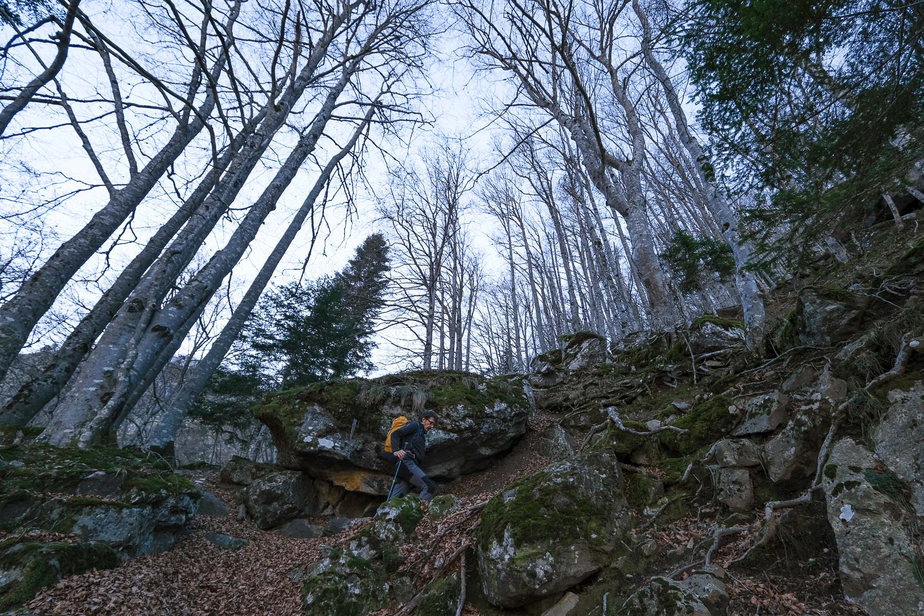
Cross the Bisp bridge and turn left on the footpath for 50m to find the wide path leading up to the Jasse de Parrau. The route shown on the map does not correspond to the actual terrain.
The route proposed here includes off-trail sections and a few sections where you'll need to use your hands, sometimes in exposed areas (III max). The paths are relatively well marked, but there are no markers or cairns. It is highly recommended to have your GPS track and geolocation equipment with you. The hike can be simplified by returning via the GR Tour du pays d'Ax or round-trip to the Pic d'Ouxis.
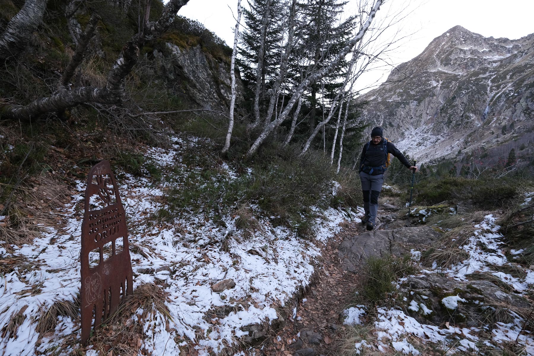
Descend the GR path marked in red and yellow. Not too steep at the start, then past a metal sign for the Orlu national reserve, the path begins an interminable descent into the coume des Gnioles, crosses the Eychouzé stream and ends at the bottom of the Forges d'Orlu, 900m of negative gradient from the dam. If a second vehicle has been dropped off at the start, it's all over, otherwise there's still the climb back up to the Pont de Bisp via the GR de Pays (200m more d+!).
Pic d'Ouxis : Circuit des trois couillades (En Beys → Llause → Pinet) - Topo on Camp to Camp


![2017-08-05_13-35-40 [Monte Rotondo]](https://climbing7.com/wp-content/uploads/2017/09/2017-08-05_13-35-40-monte-rotondo-1024x683.jpg "Monte Rotondo, Melo and Capitello, Corte")


Leave a Reply