


TOPO Snowshoeing | CLIMBING7.COM
Publié le
 Partager sur WhatsApp
 Partager sur Twitter
Partager sur Instagram
Partager sur Twitter
Partager sur Instagram

 Partager sur Facebook
 Imprimer le topo
 Laisser un commentaire

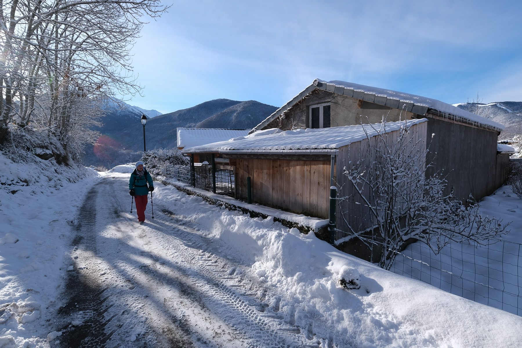
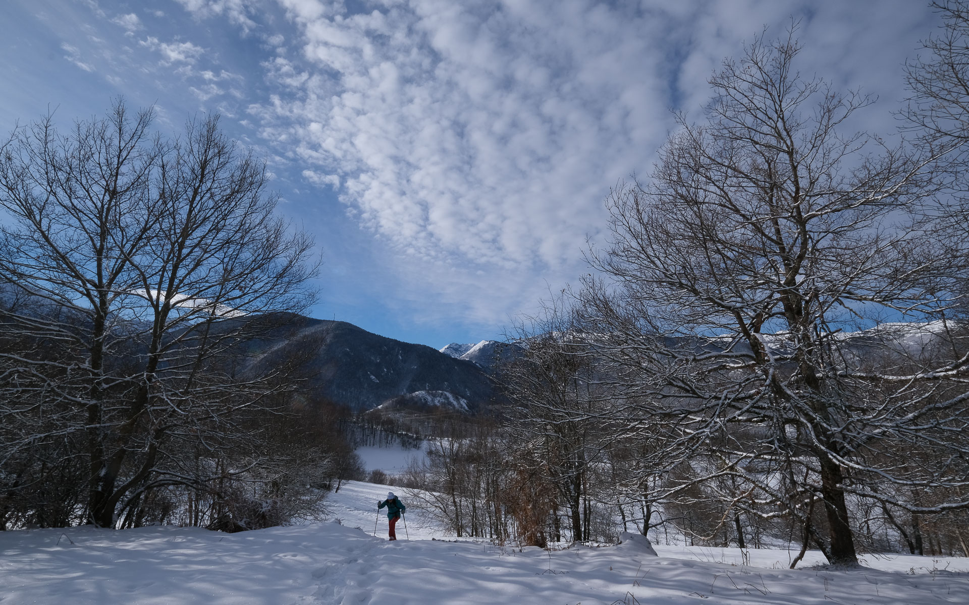
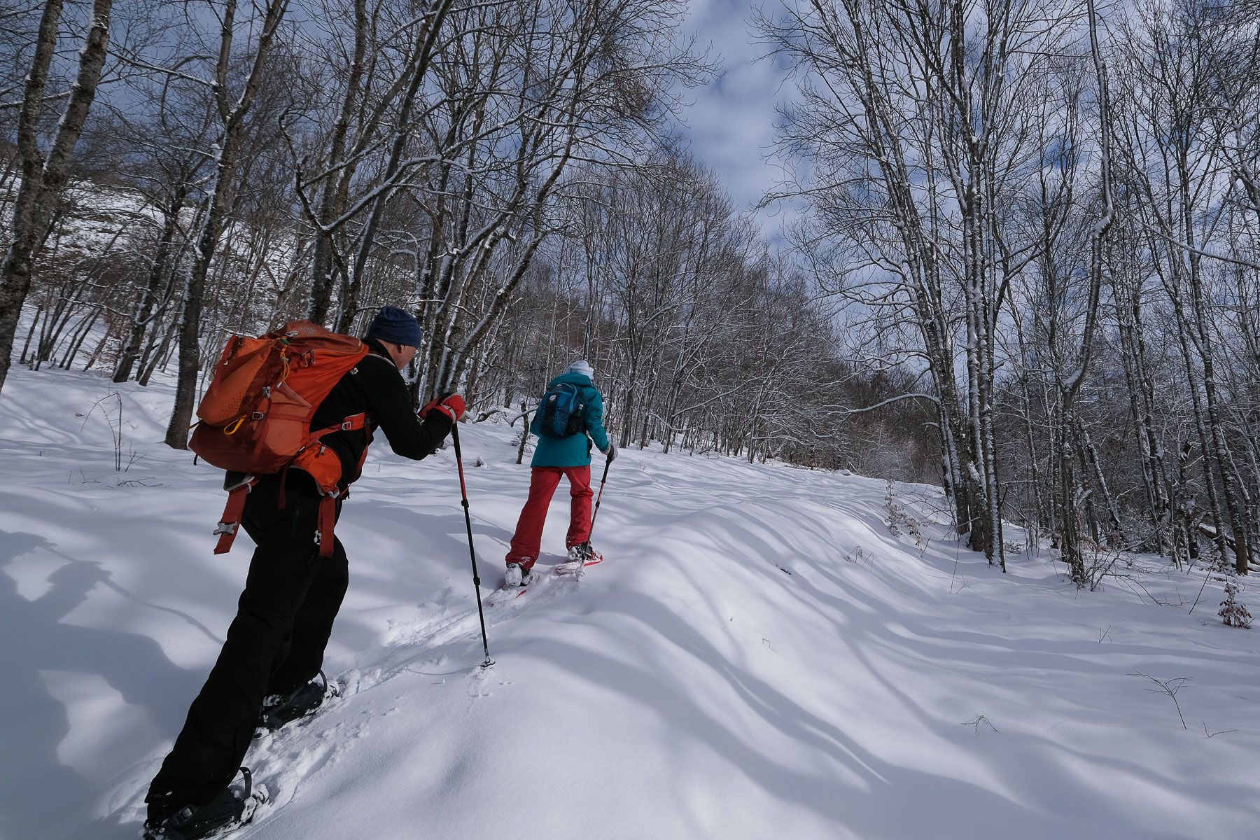
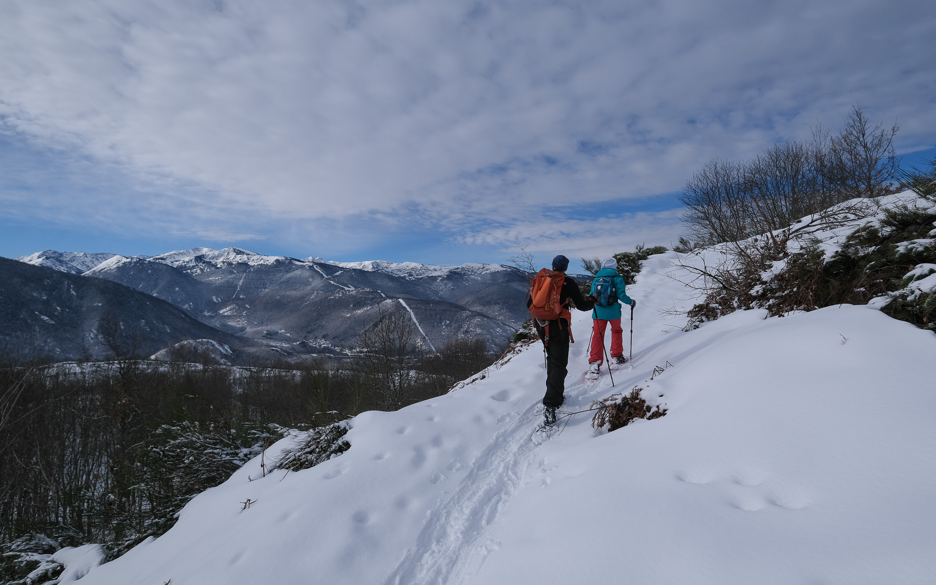
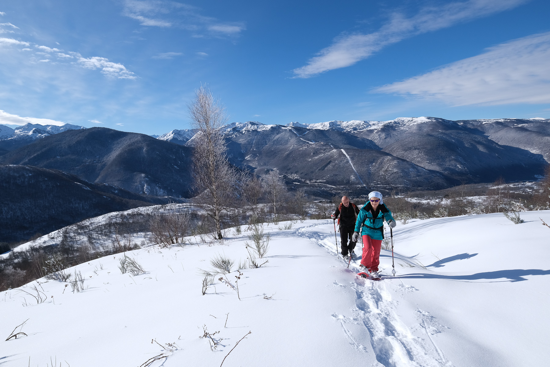
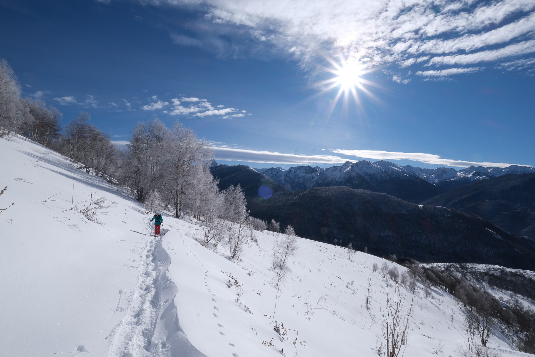
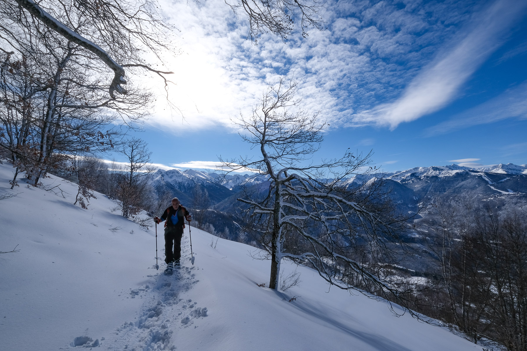
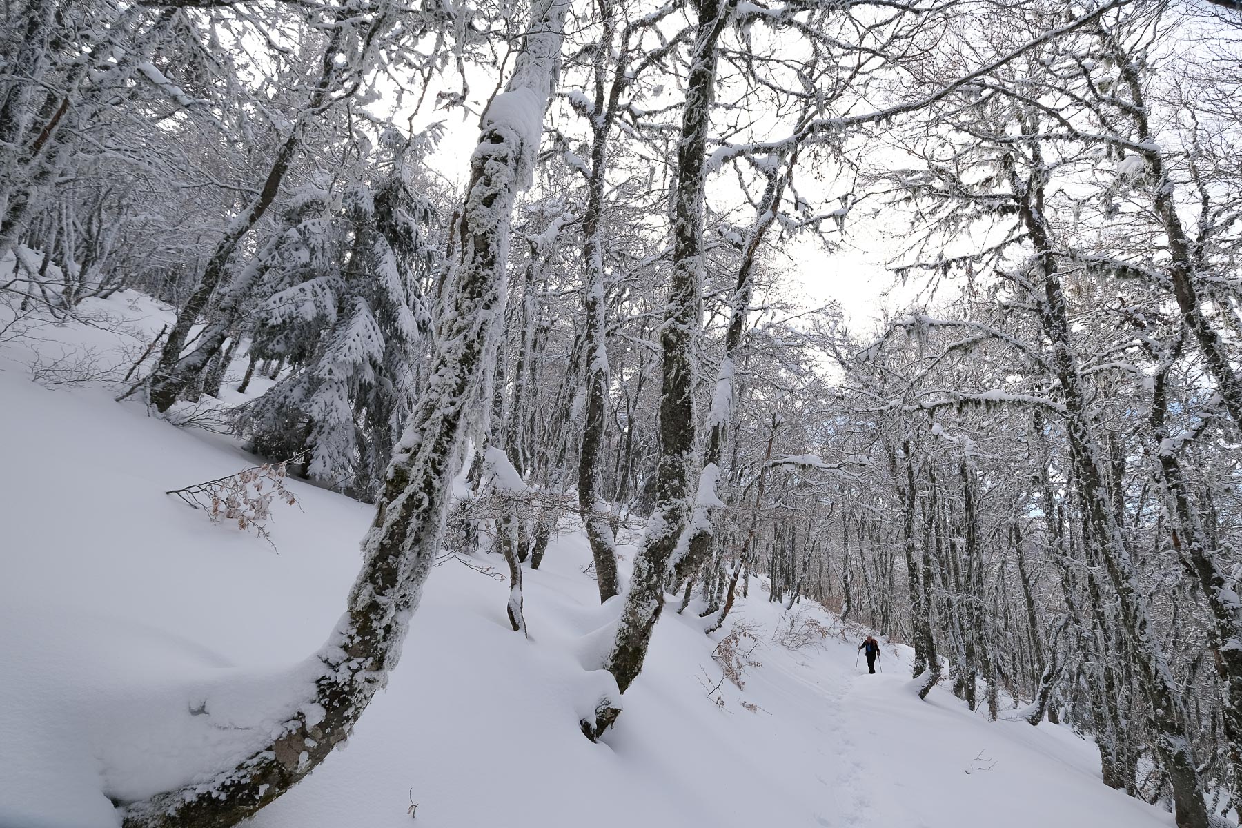
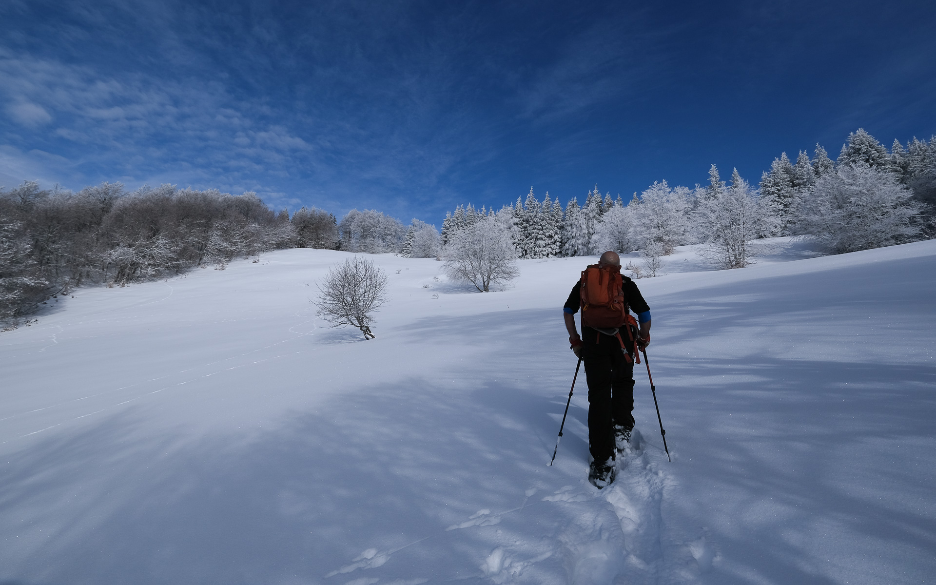
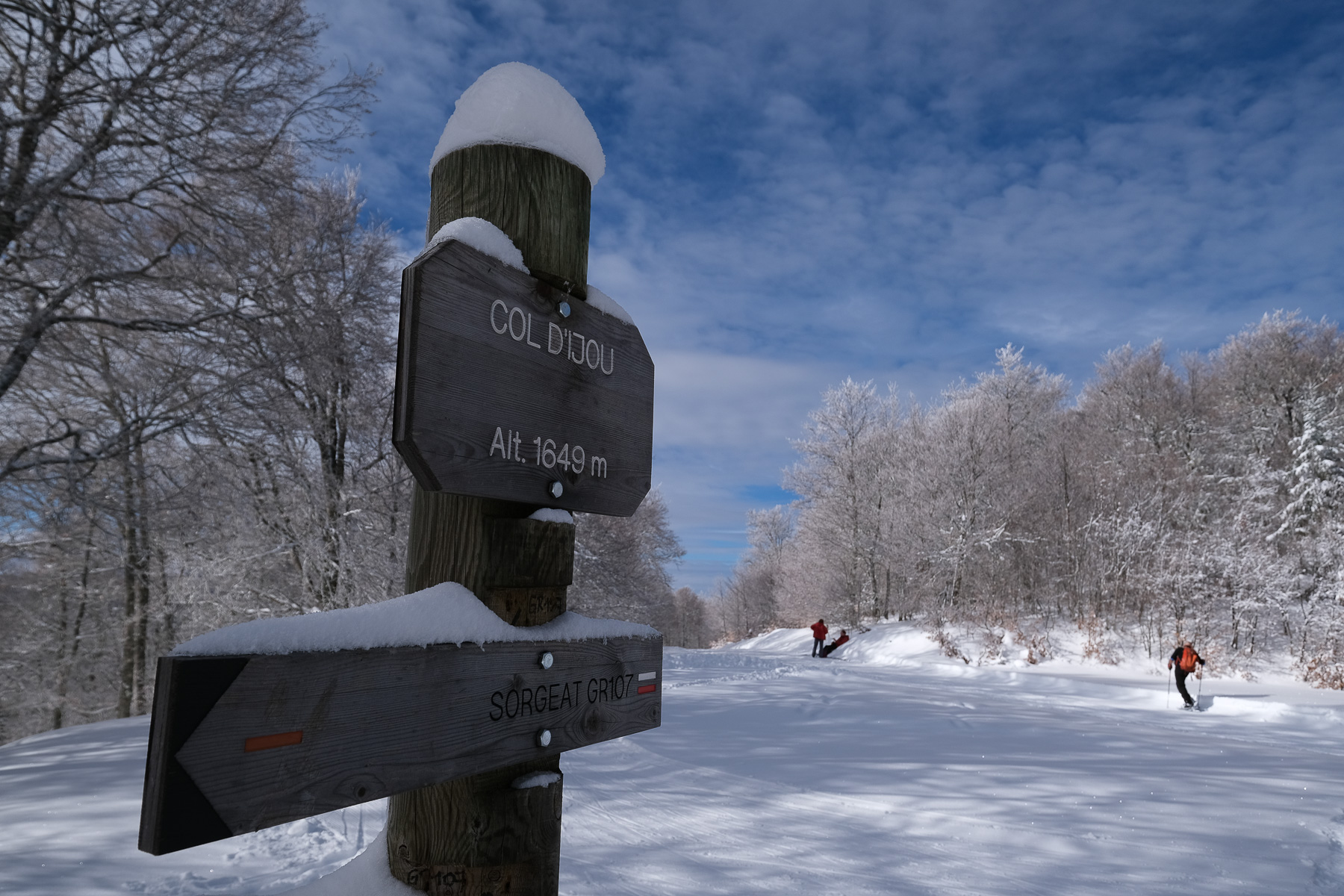
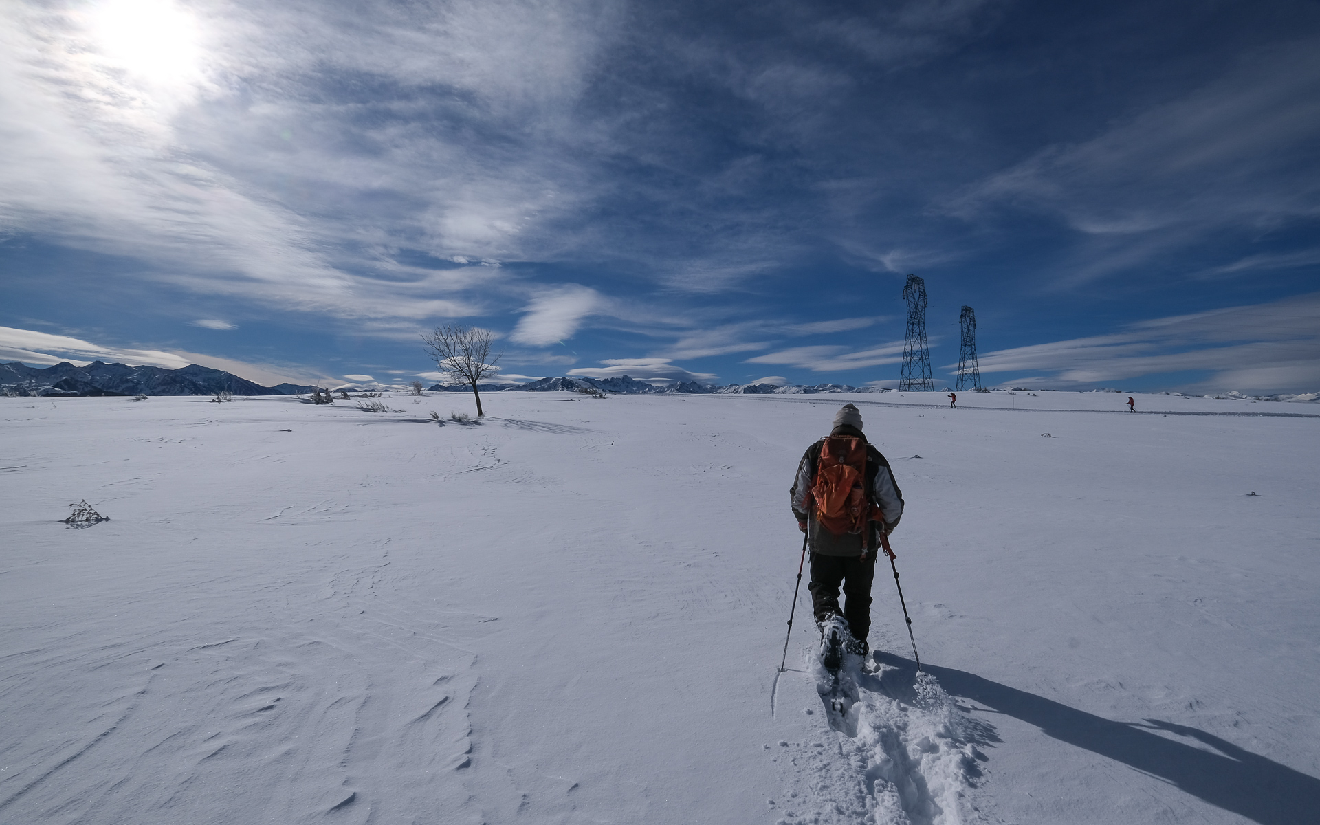
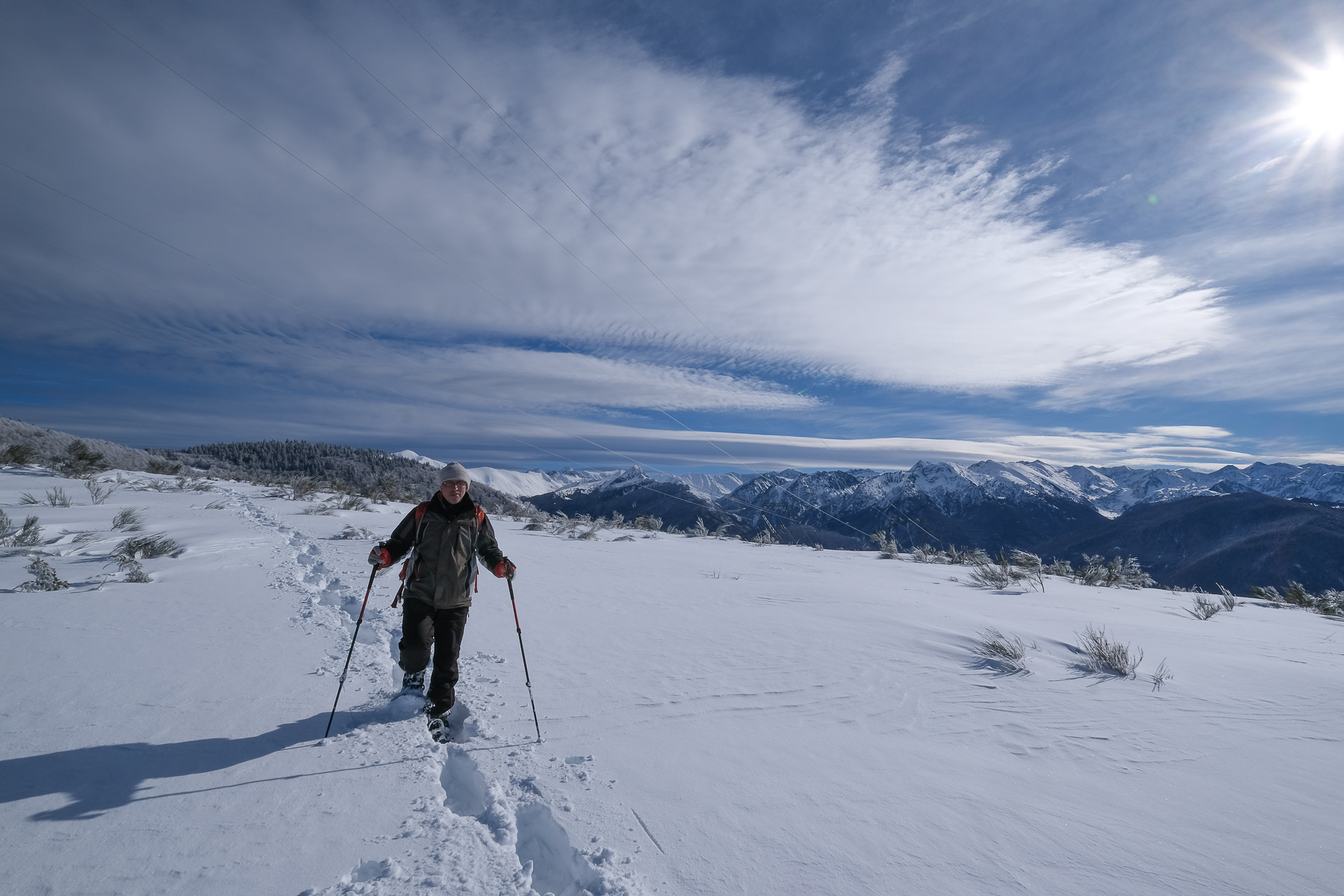
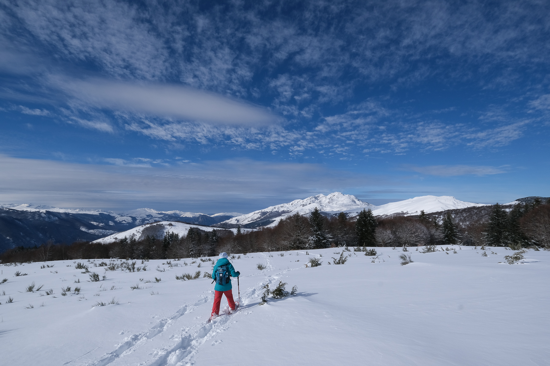
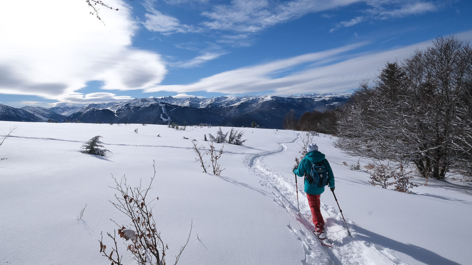
At the bottom of the Ax-les-Thermes valley, from the small village of Ascou, this route quickly rises to offer spectacular, aerial views of the Pyrenean peaks of the Haute-Ariège. Winter conditions were ideal, with bright sunshine, fresh snow from the previous day and a sumptuous sky. After the Col d'Ijou and a short section on the Chioula estate, we reached the flat area that serves as the summit of the Assaladou, where 2 huge pylons also stand. We then loop around to the west, this time with views of the Montagne de Tabe massif, before plunging down to Ignaux and returning to Ascou. A beautiful tour, which, in these snowy conditions, requires a long and fairly sustained effort.
❱❱ Technical summary
Type ✦ Snowshoe hiking
Location ✦ Ascou, Ignaux
Region ✦ Ariège
Country ✦ France
Orientation ✦ South and West
Max altitude ✦ 1649m
Distance ✦ 12.8km
Vertical drop ✦ 710m
Duration ✦ 4h to 5h
Interest ✦ ★★
❱❱ Access to the place
From Ax-les-Thermes, climb up to Col du Chioula and just below Sorgeat, turn right towards Ascou-Pailhères. The road passes under the village of Ascou. Park at the bottom of the village, in the large parking lot just past the communal rubbish area.
❱❱ Map & topo
❱❱ Itinéraire
Go up to Ascou village from the bottom and follow the GR signs. Pass in front of the church, then follow the road up to the top of the village, exit and climb into the forest. Leave the GR to the left towards Sorgeat (return path) and continue along the road. Pass a wide bend at the top, go alongside a large farm and at the intersection just after, turn left to the north.
To shorten the route, go straight up the slope at the 1st bend. Improvising a generally northerly route, then veering northeast to catch up with the valley road and the GR 107 route. Once on the (normally snow-covered!) track, walk a little to the east to find the GR trailhead just beyond, which climbs to the left. Departure for Col d'Ijou.
Walk 50m downhill on the road to find the yellow PR path descending to the right. Follow the path as it heads south. You pass a pretty natural balcony overlooking the valley, then descend to reach the 1st houses in Ignaux. Continue to follow the PR as it weaves its way between properties, ending up in the old village by the school. Cross Ignaux and take the road to Sorgeat. Enter Sorgeat and head east through the village. On leaving the village, at the end of a long street, continue on the track, which is once again the GR-107. There's another 20' of track, then a footpath, to return almost to the starting point, above the village of Ascou.


Leave a Reply