


TOPO Canyoning | CLIMBING7.COM
Publié le
 Partager sur WhatsApp
 Partager sur Twitter
Partager sur Instagram
Partager sur Twitter
Partager sur Instagram

 Partager sur Facebook
 Imprimer le topo
 Laisser un commentaire

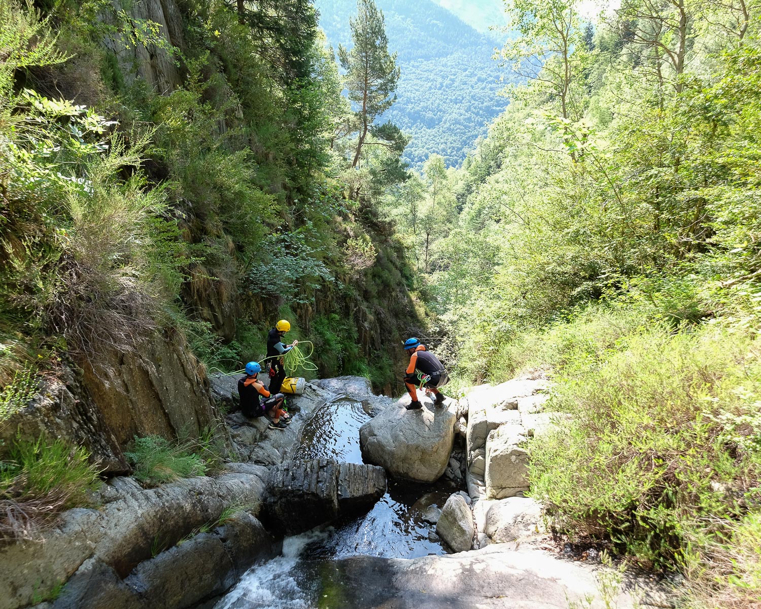
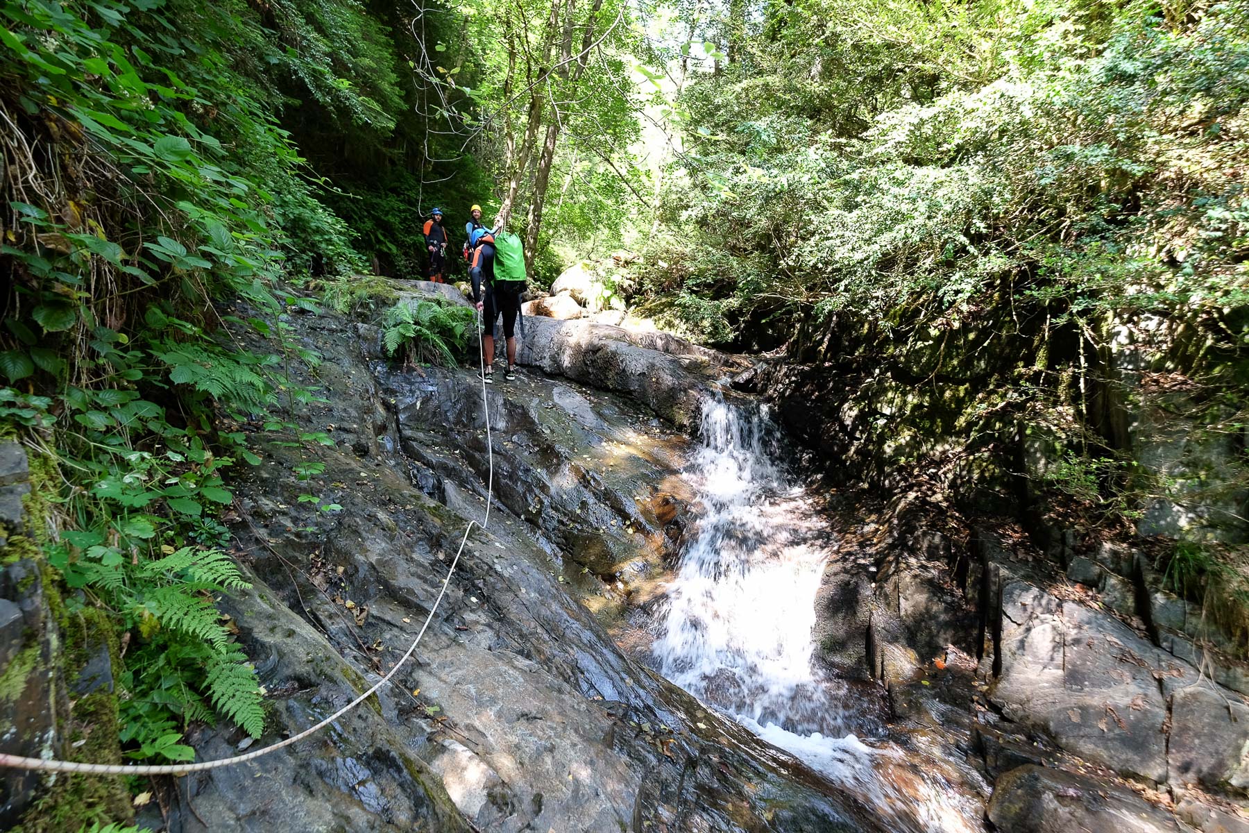
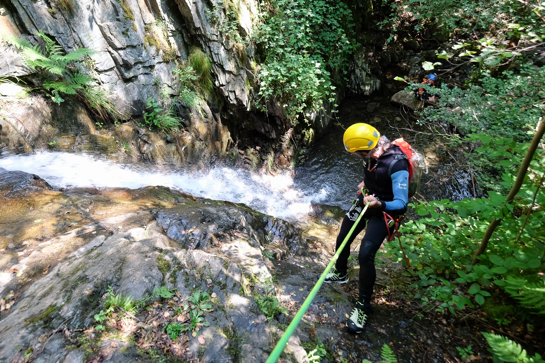
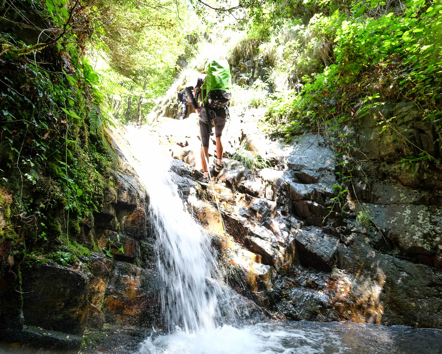
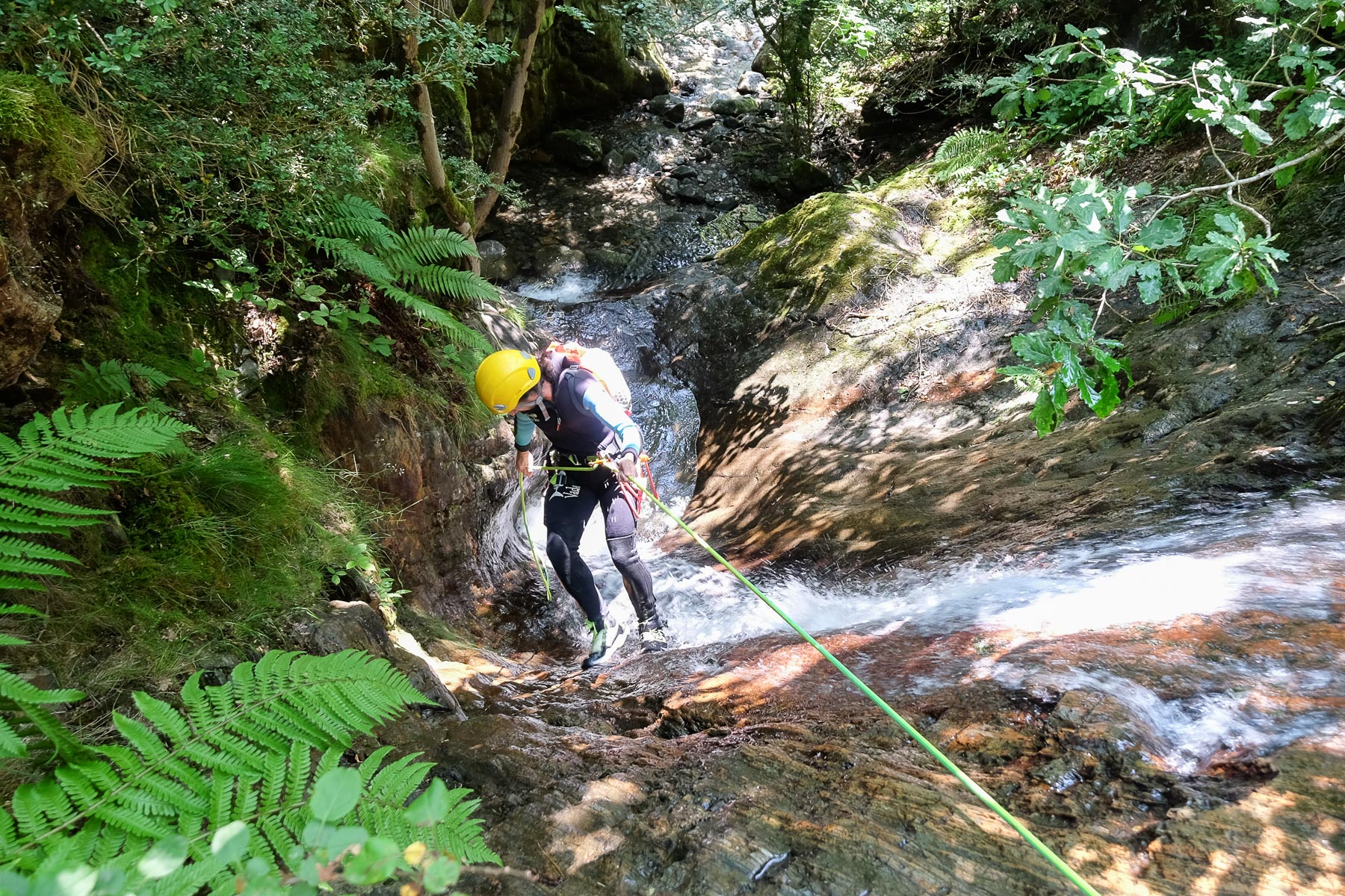
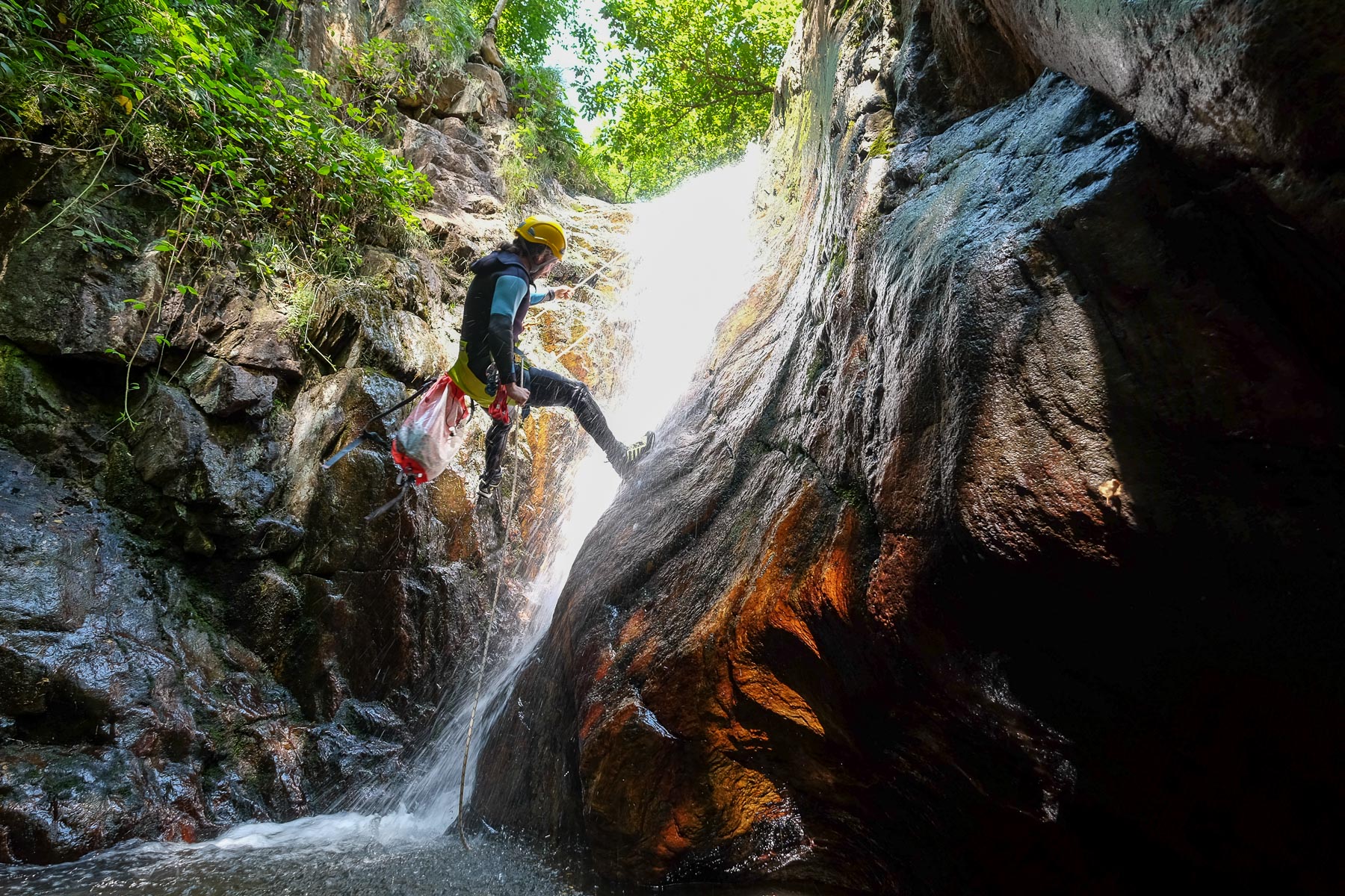
The Argensou stream flows down the slopes from Cap de Fum into the Vicdessos. The canyon consists of a beautiful series of orange-colored waterfalls that form successive levels in a pleasant undergrowth atmosphere. The middle section is little used, but the downstream section, which is easier to access and faster, is very popular, especially in summer. The rock is often very slippery and the water quite cold, but you don't really enter it, often landing in small pools where you can get your footing.
❱❱ Technical summary
This guide presents the middle and lower sections of the Argensou canyon.
Type ✦ Aquatic canyon
Location ✦ Houré, Auzat, Vicdessos valley
Region ✦ Ariège
Country ✦ France
Orientation ✦ East
Starting altitude ✦ 1170m
Length ✦ 500 m
Dénivelé ✦ 210 m
Difficulty ✦ V3-a2-III
Max abseil ✦ 27 m
Duration ✦ 3h to 4h
Interest ✦ ★
❱❱ Access to the place
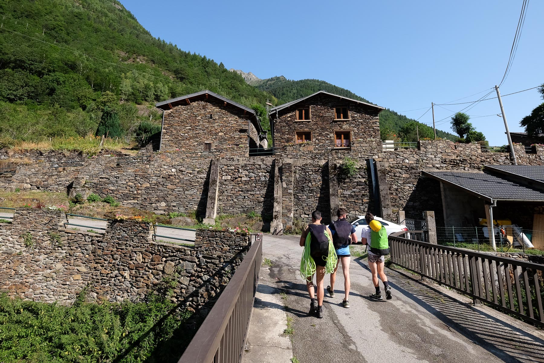
At Tarascon-sur-Ariège, at the Ax-le-Thermes exit, turn south at the last roundabout towards Vicdessos and Auzat. Go through the 2 villages and continue on the D8 towards Marc. Before you get there, you pass Hourré on the left, on the other side of the torrent. Park in the large parking lot on the left of the road. There's an information board for the Argensou canyon.
❱❱ Map & topo
The approach route is indicative between the village of Hourré and the aqueduct.
❱❱ Itinéraire
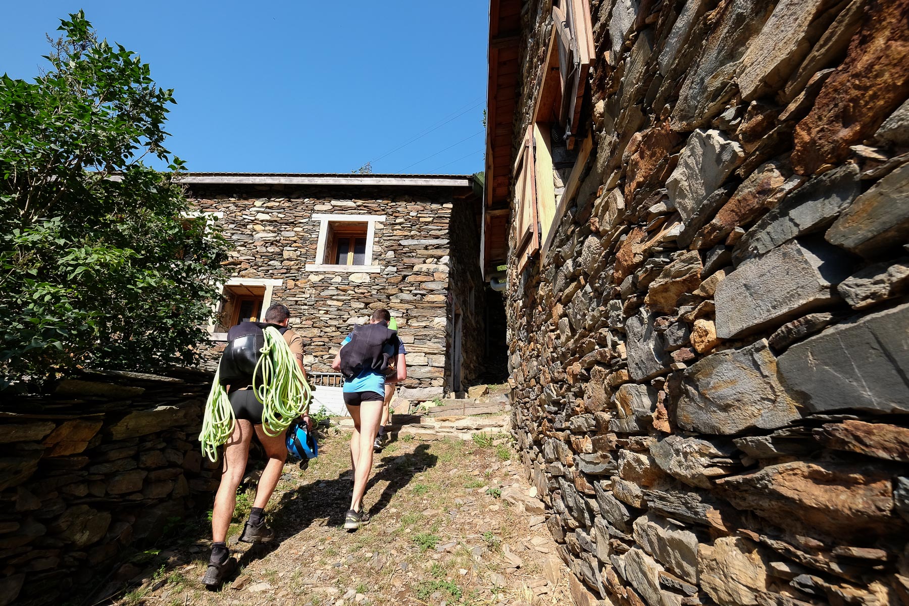
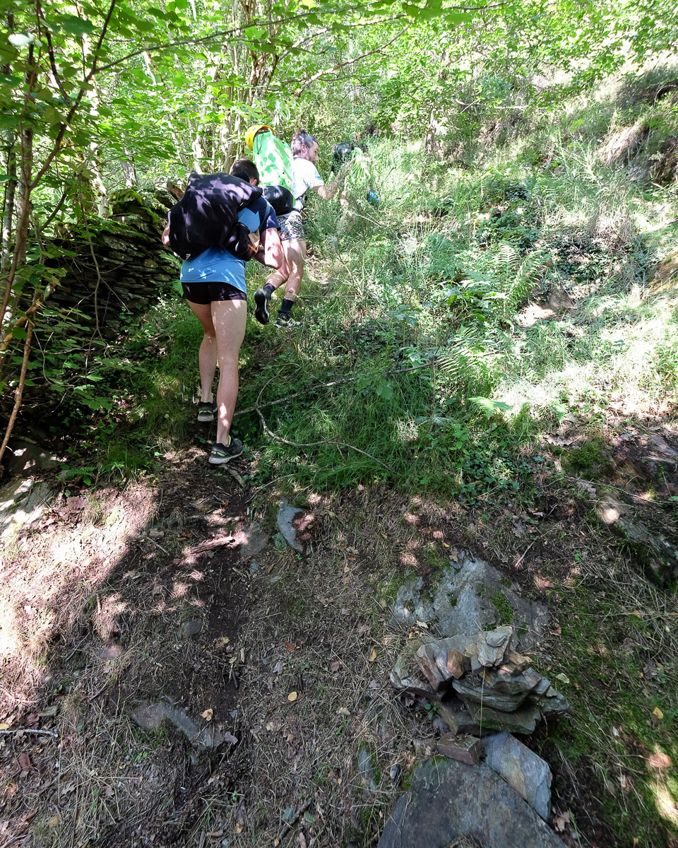
From the parking lot, go down to the road and cross the Vicdessos to go up to the village of Hourré, following the small blue dots. At the level of the last houses, turn right to leave on a well-marked path with blue dots, which leads to the start of the lower part of the canyon. Very quickly, spot a cairn indicating a mini-trail to the left, which climbs steeply into the undergrowth. It takes 10 minutes to cross the GR10, which runs along the back of an old aqueduct. Turn right and walk along the concrete path until you reach the Argensou at a water intake. This is the starting point for the middle section.
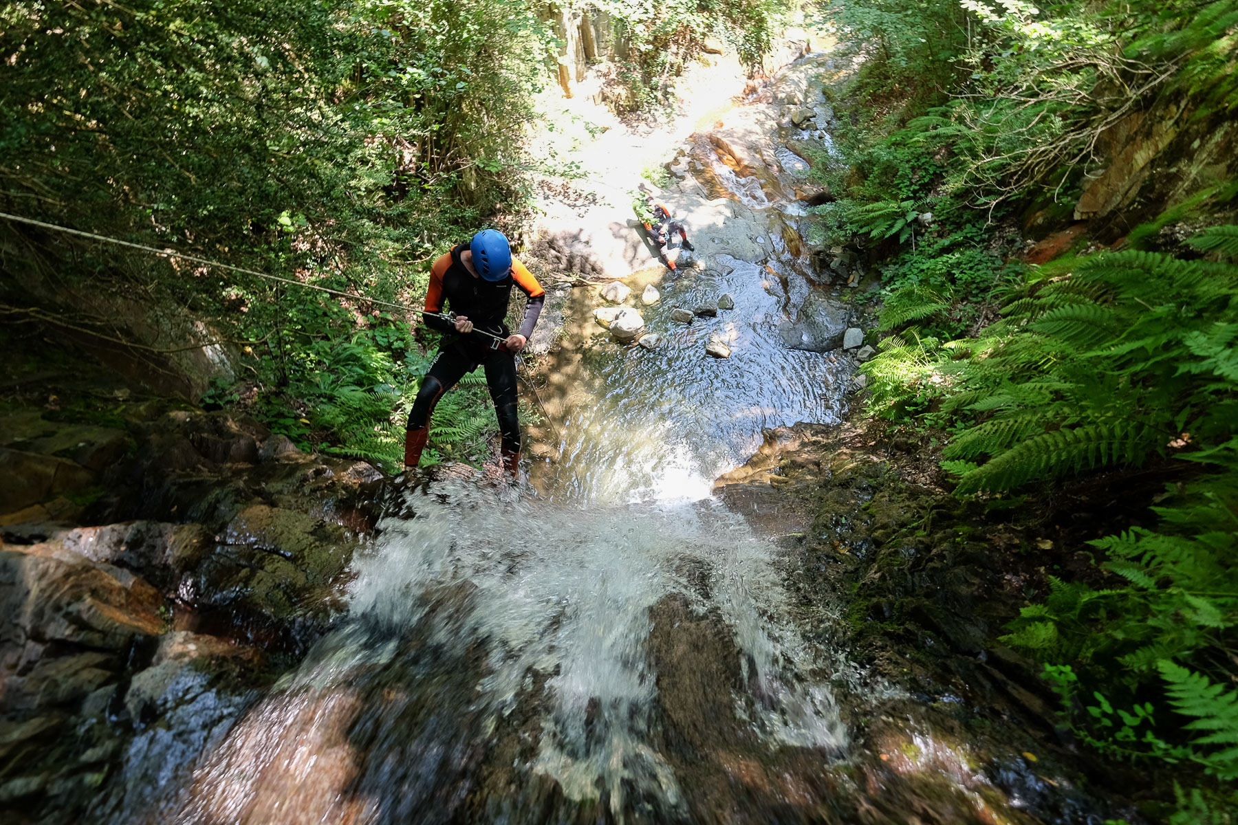
A succession of inclined abseils, interspersed in places with very short sections for walking or avoiding small overhangs. All abseil heights are indicative. The equipment in place is generally good, except in 1 or 2 places where the points are slightly damaged. Given the small amount of water, jumps are impossible. Abseiling, on the other hand, is often done in or near the asset. Very little walking, with one obstacle after another.
You arrive at the point where the Argensou stream flows into the Vicdessos. A nice jump to make at this point, before heading south on the path that runs alongside the Vicdessos to return quickly to the village of Hourré.
Topos of the middle and lower Argensou on descente-canyon.com.


Leave a Reply