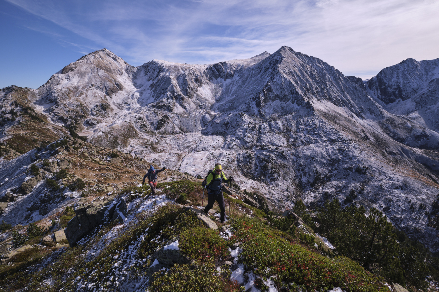
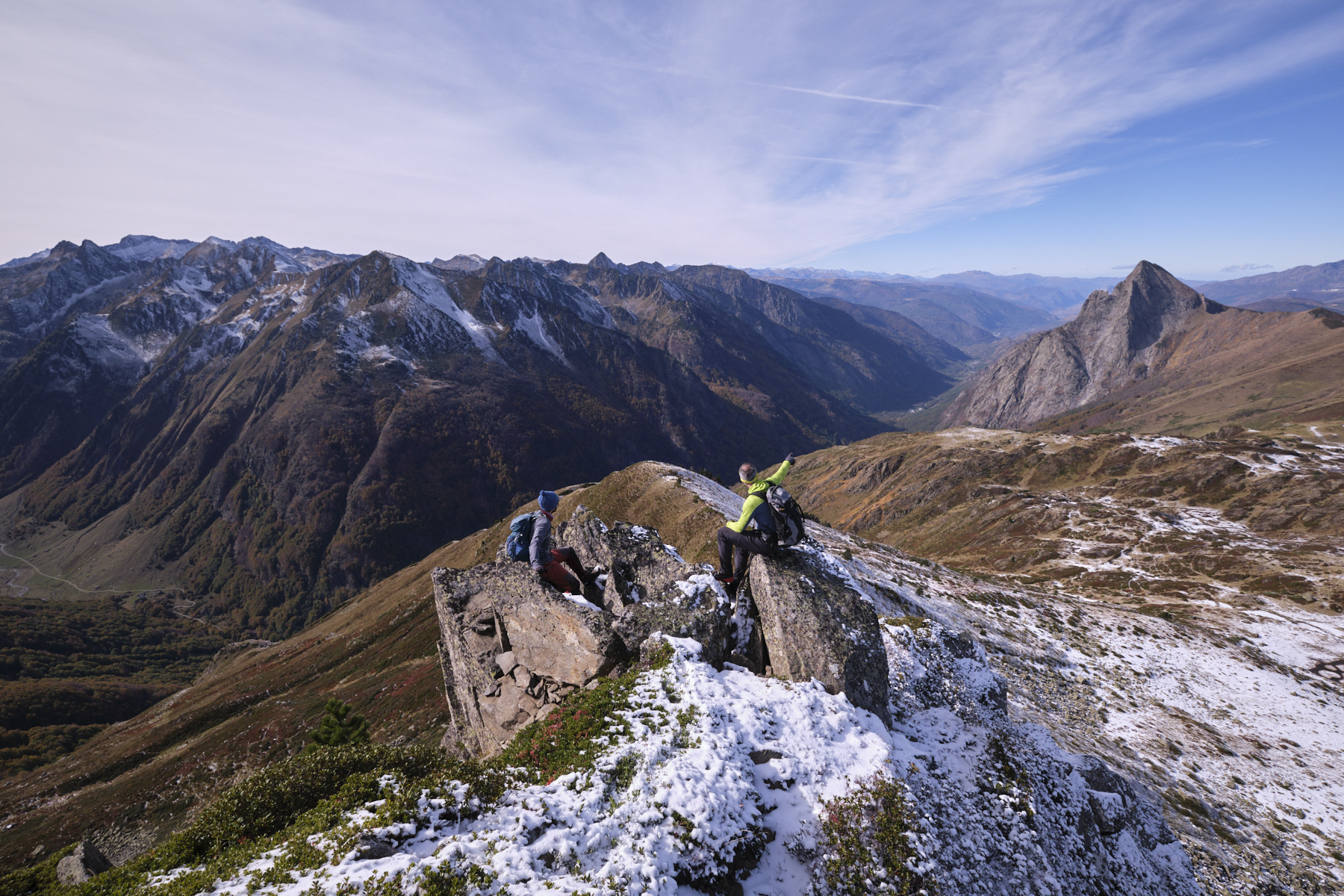
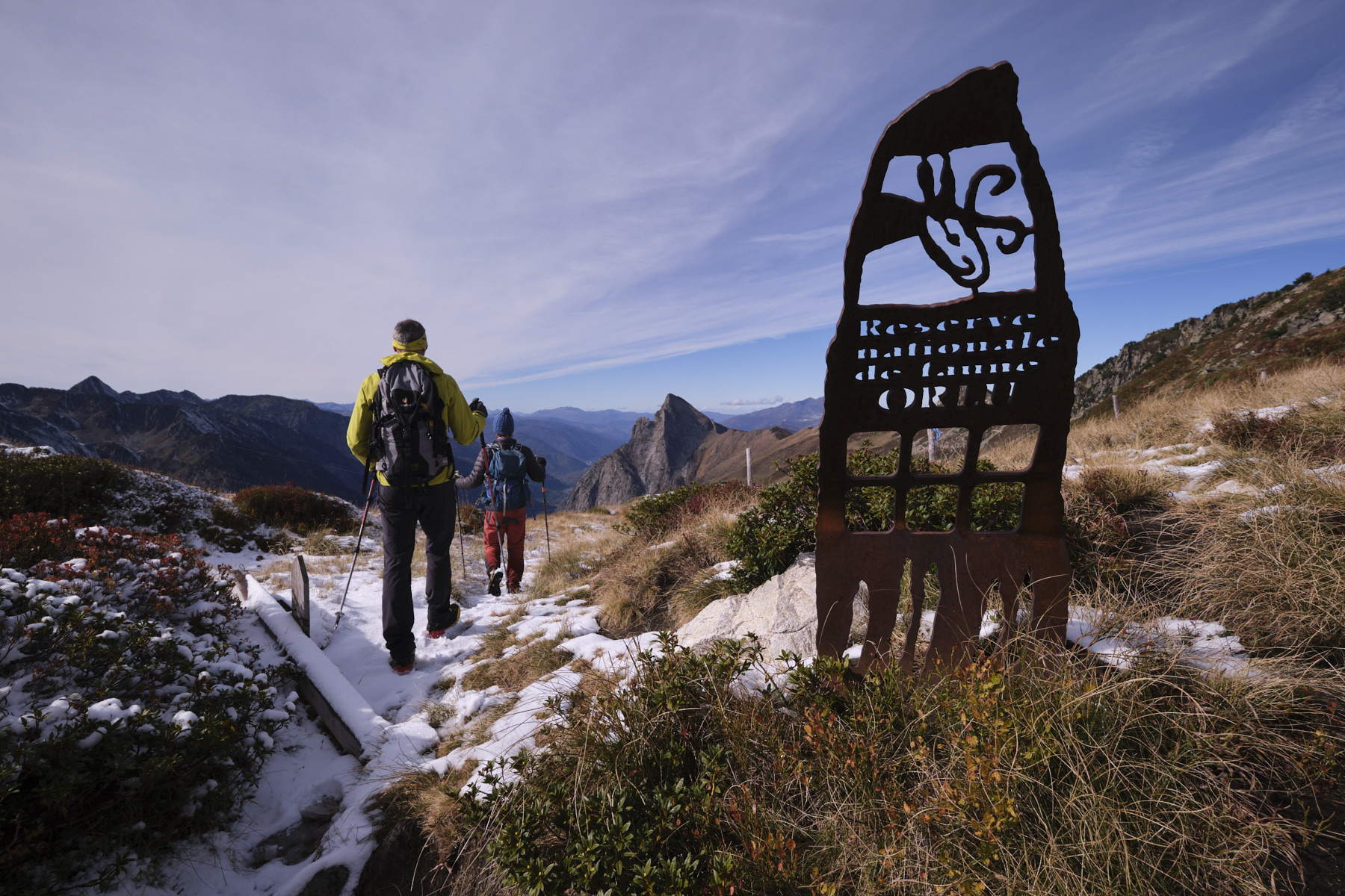
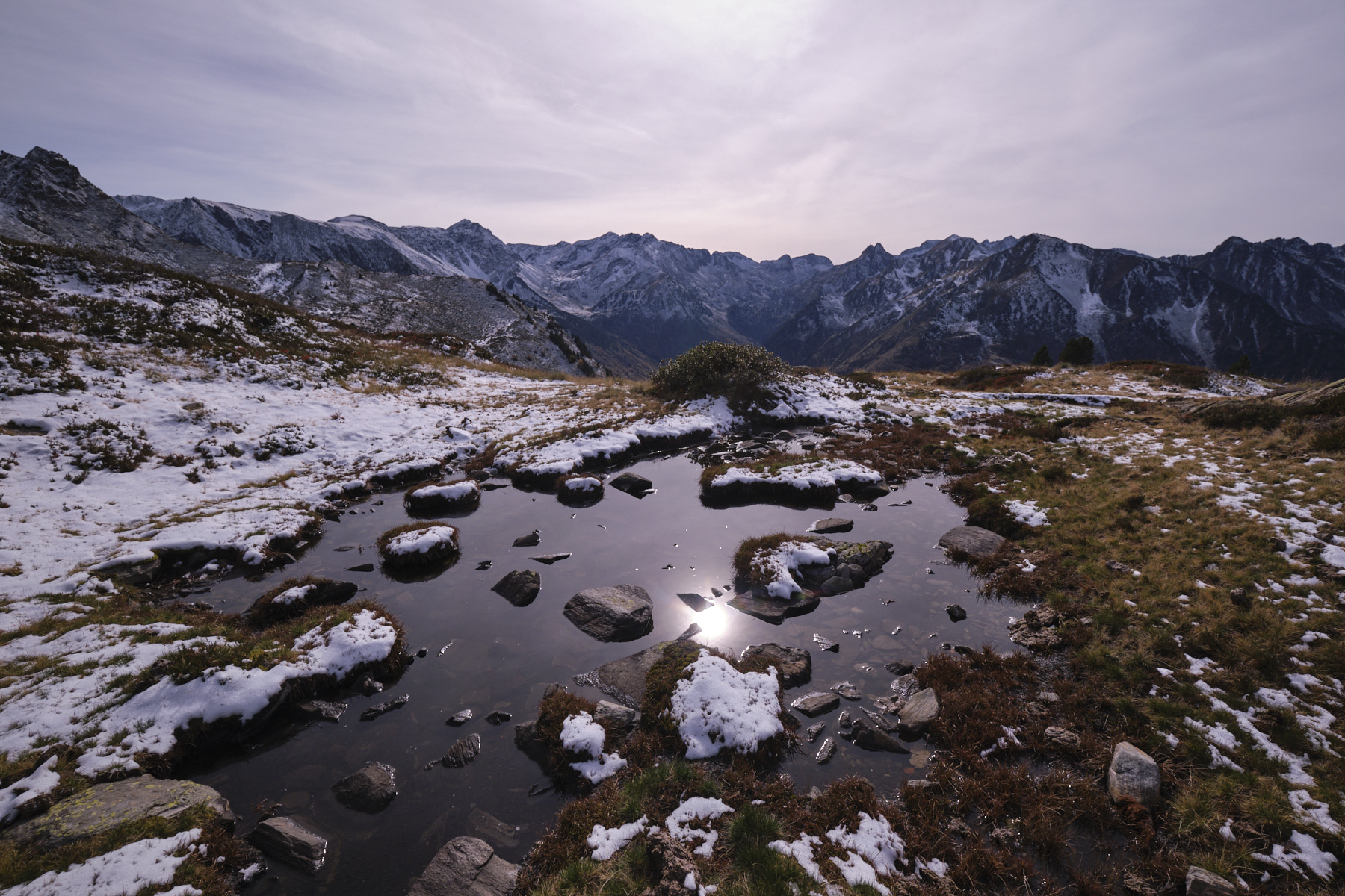
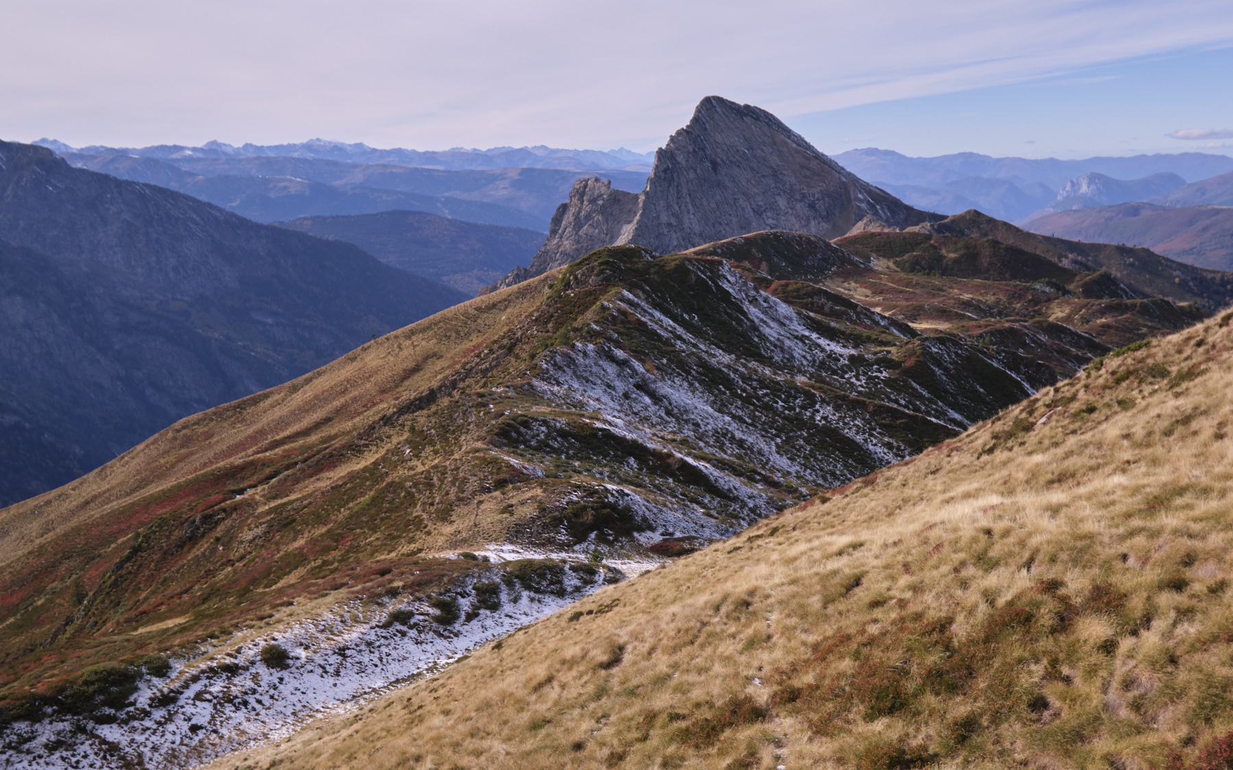
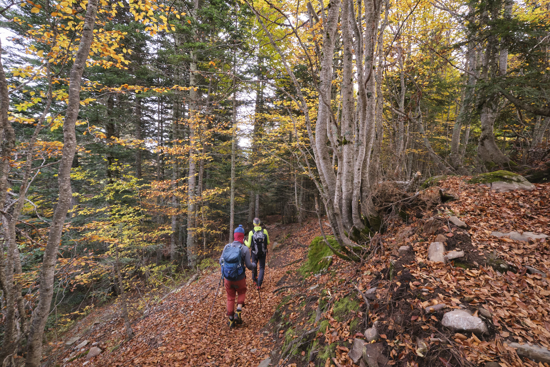
A magnificent loop between Donezan and the Orlu valley, an accessible ridge route with exceptional panoramic views of the Ariège and Catalan Pyrenees. La Couillade des Bourriques joins Roc Blanc and Pic de Balbonne, its ridges dominating Donezan to the north and the upper Oriège valley to the south. Progress along the ridge is fairly uneven, and in many places you have to use your hands to climb up or down, sometimes in slightly exposed terrain, but without great difficulty. The prospect of the Dent d'Orlu, the undulating ridges of the Sarrat de Coste Brasseil and the beautiful Etang de l'Estagnet at the end of the route complete the spectacular scenery.
❱❱ Technical summary
■ S tarting point: Parking de la restanque, Mijanès, Ariège (09)
■ Type of route: high-mountain loop hike, ridge section
■ Distance: 12.5 km
■ Cumulative elevation gain: +850 m
■ Cumulative negative altitude gain: -850 m
■ Estimated total time: 5h to 6h30 ■ Min and max altitude: 1630 m / 2252 m
■ Marking: combination of PR, GR and unmarked (cairned) trails + off-trail ridge passages
■ Equipment: none
■ Equipment required: useful GPS track
Difficulties: a few ridge sections requiring hand assistance for climbing and unclimbing (II max).
❱❱ Access to the place
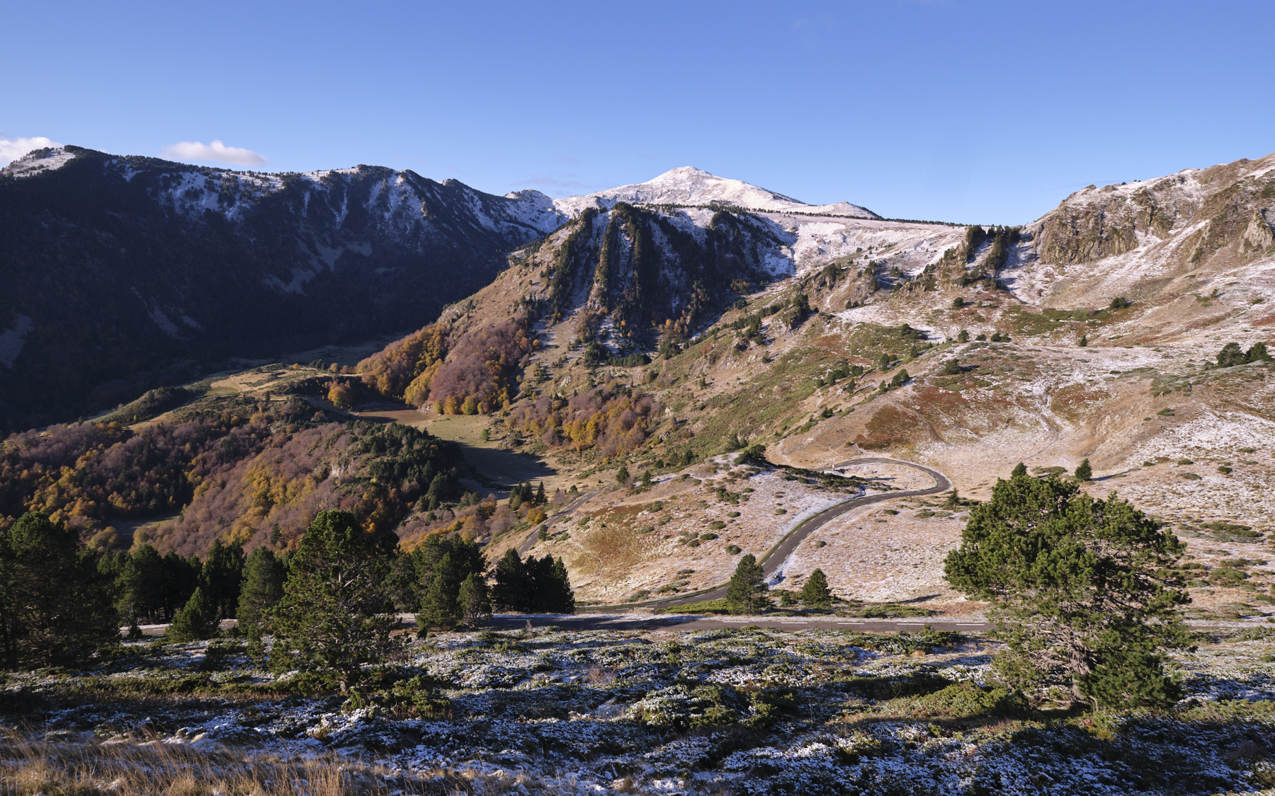
On the D-25 between Col de Pailhères and Mijanès, turn onto the Bruyante forest road towards Restanque. Follow the track that follows and climb up to the parking lot at the start of the forest track (barrier).
❱❱ Map & topo
The itinerary for accessing the ridges and the Couillade des Bourriques ridge is indicative.
1st part: from Restanque to the start of the ridges via Balbonne pond (2h to 2h30)
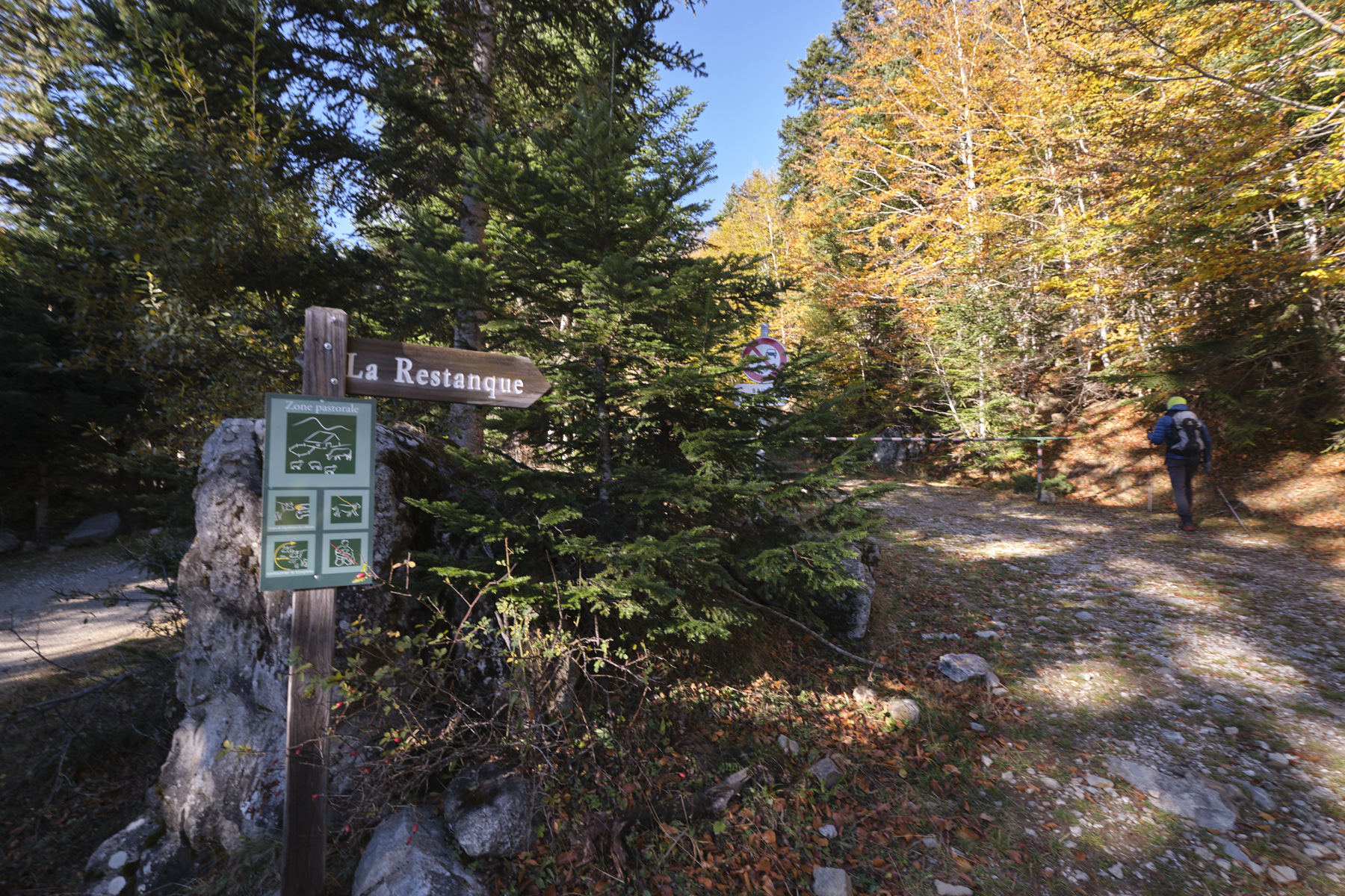
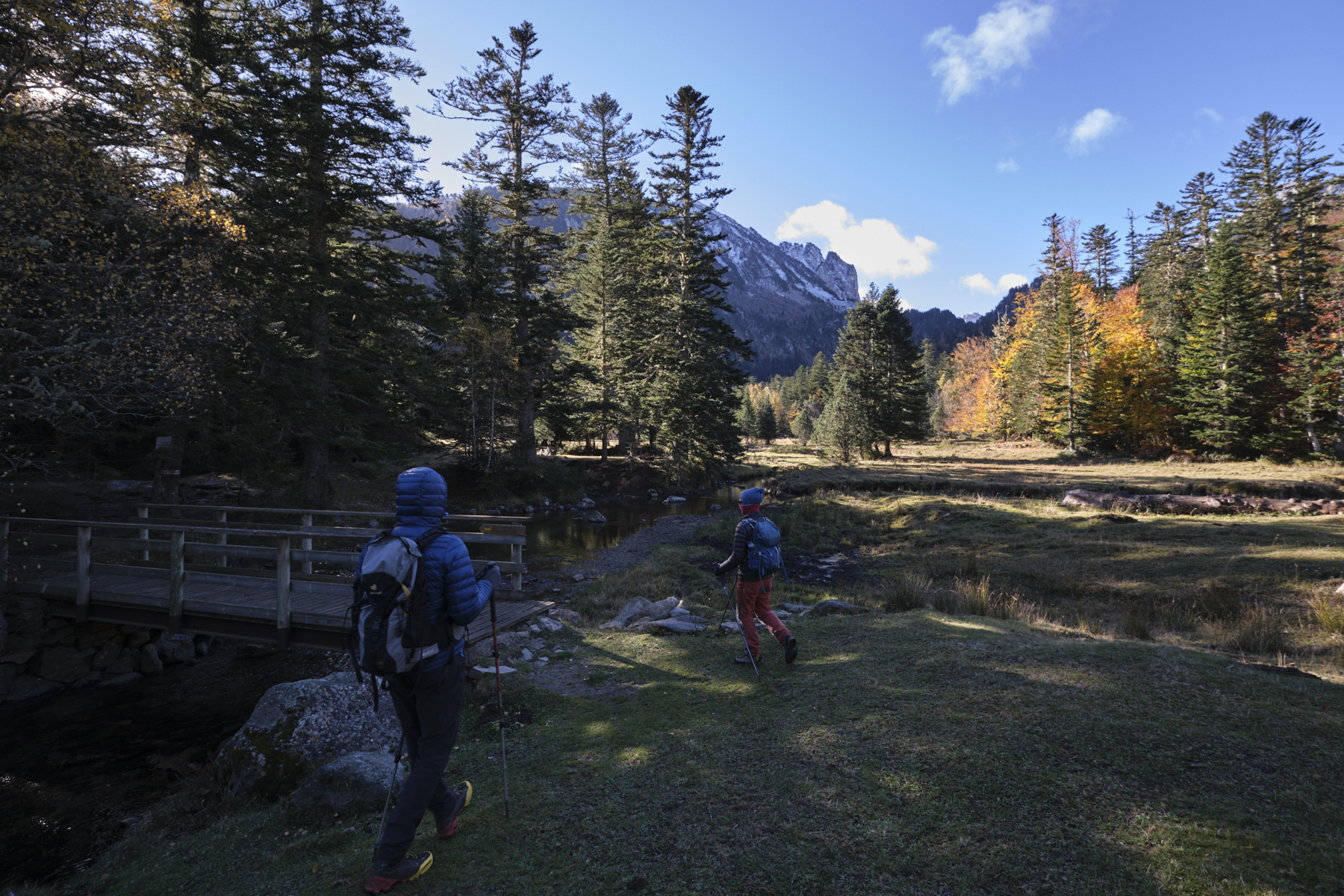
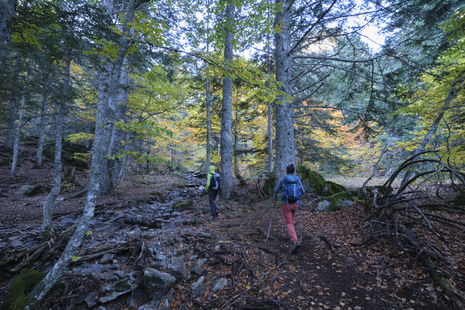
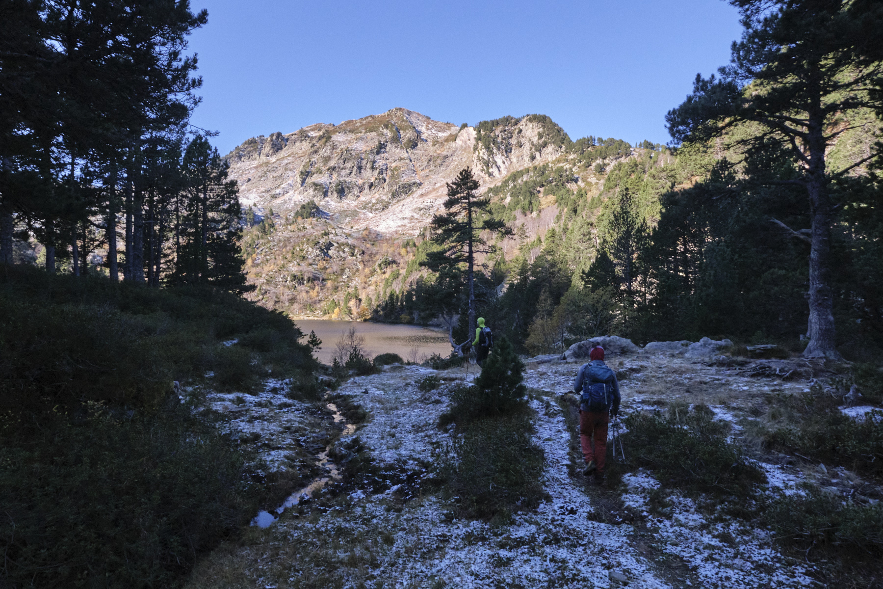
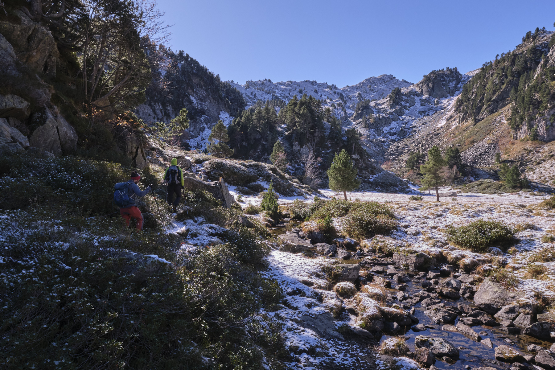
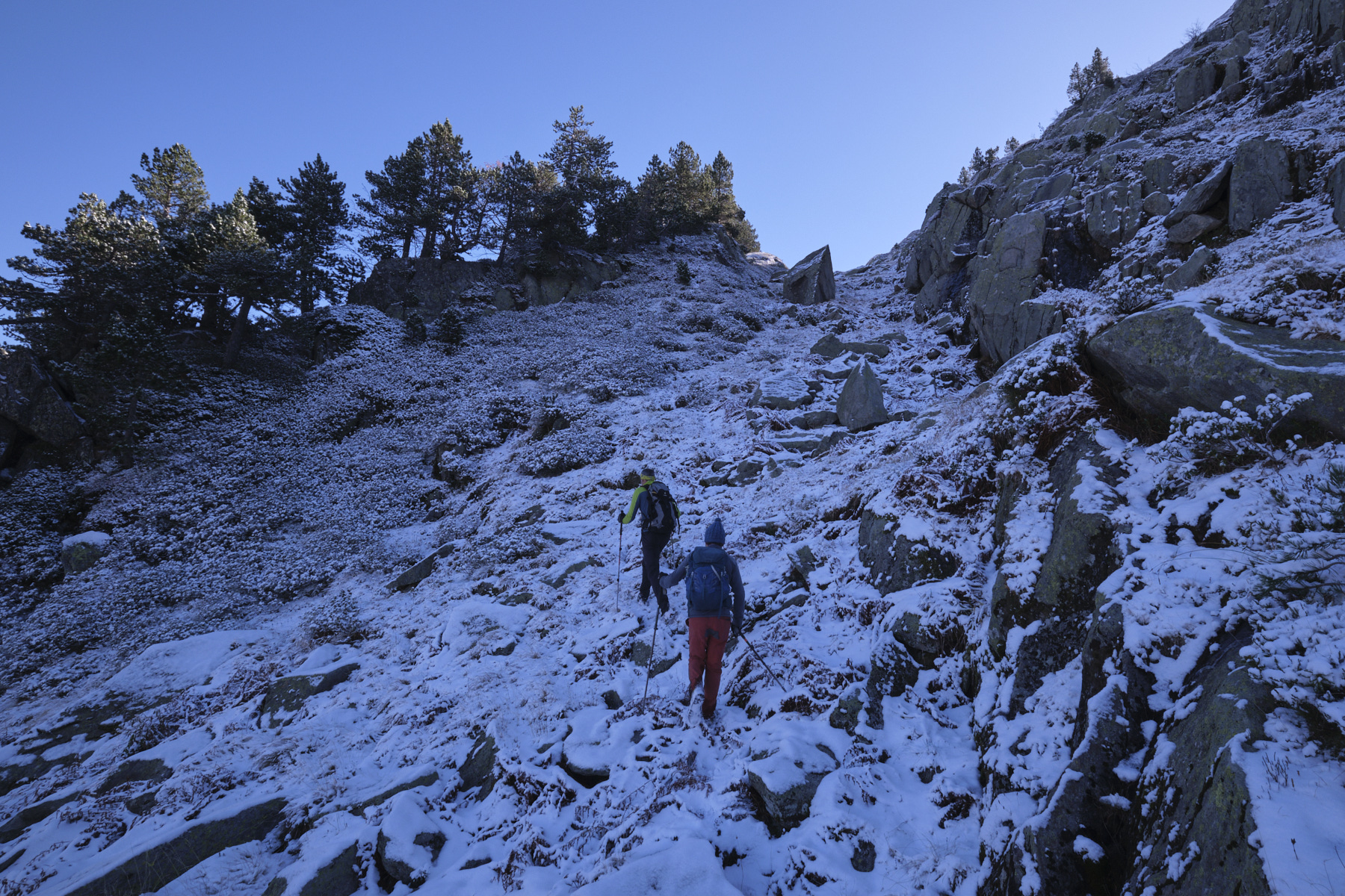
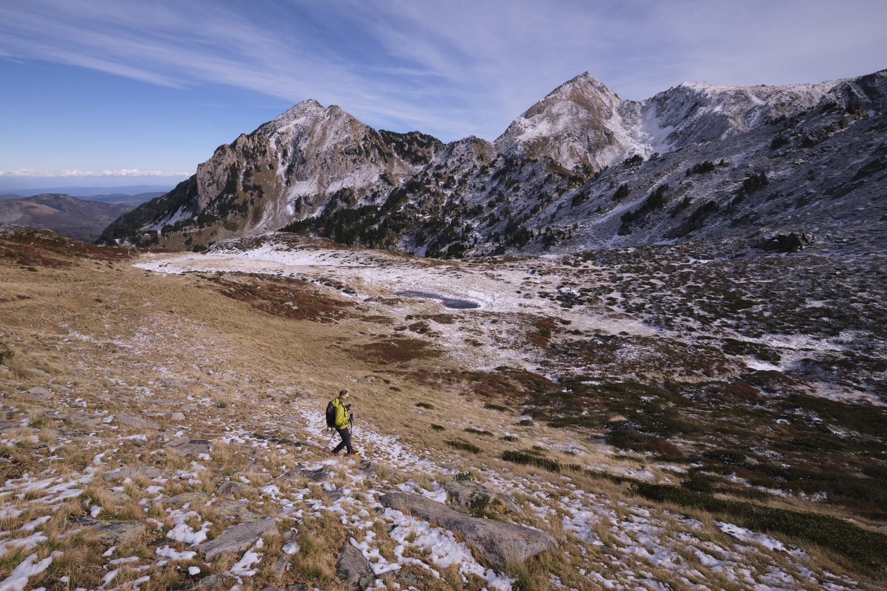
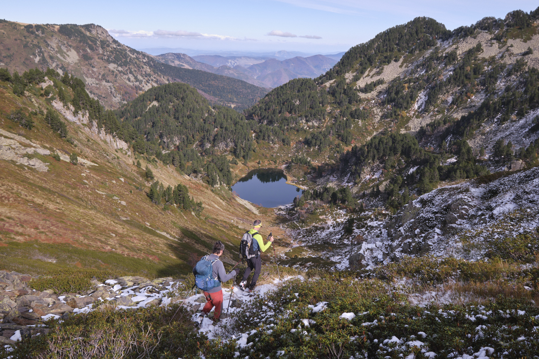
From the parking lot, go through the barrier and up the track to the Restanque flat (information panel). Cross the stream on the wooden bridge and follow the yellow PR path. The path climbs gently along the ruisseau de Balbonne, either on the right or left bank, until it reaches the bottom of the valley, where it takes on the Échelle de Balbonne, a steep section that leads up to the étang de Balbonne below the Pic de Balbonne.
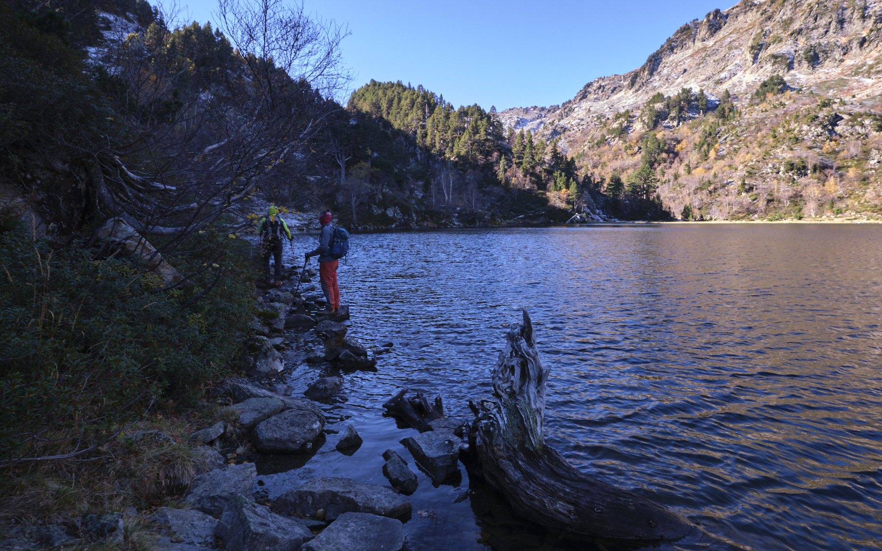
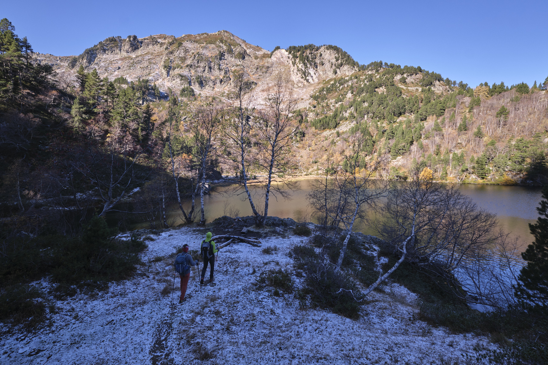
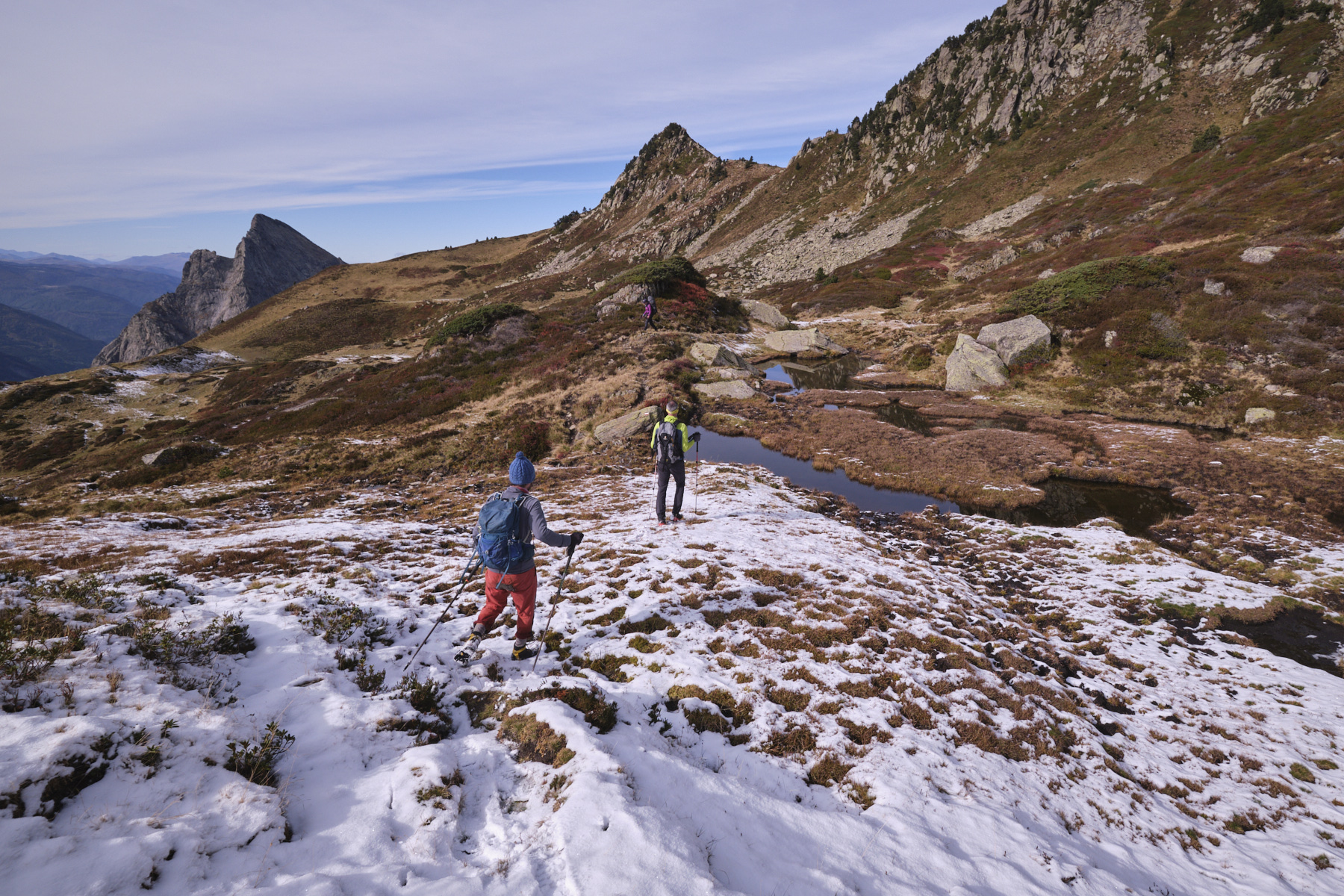
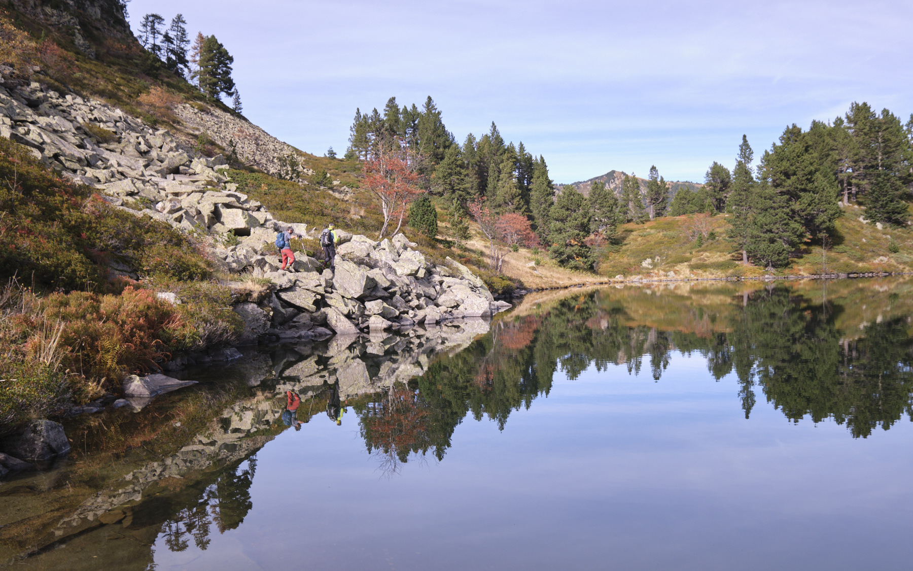
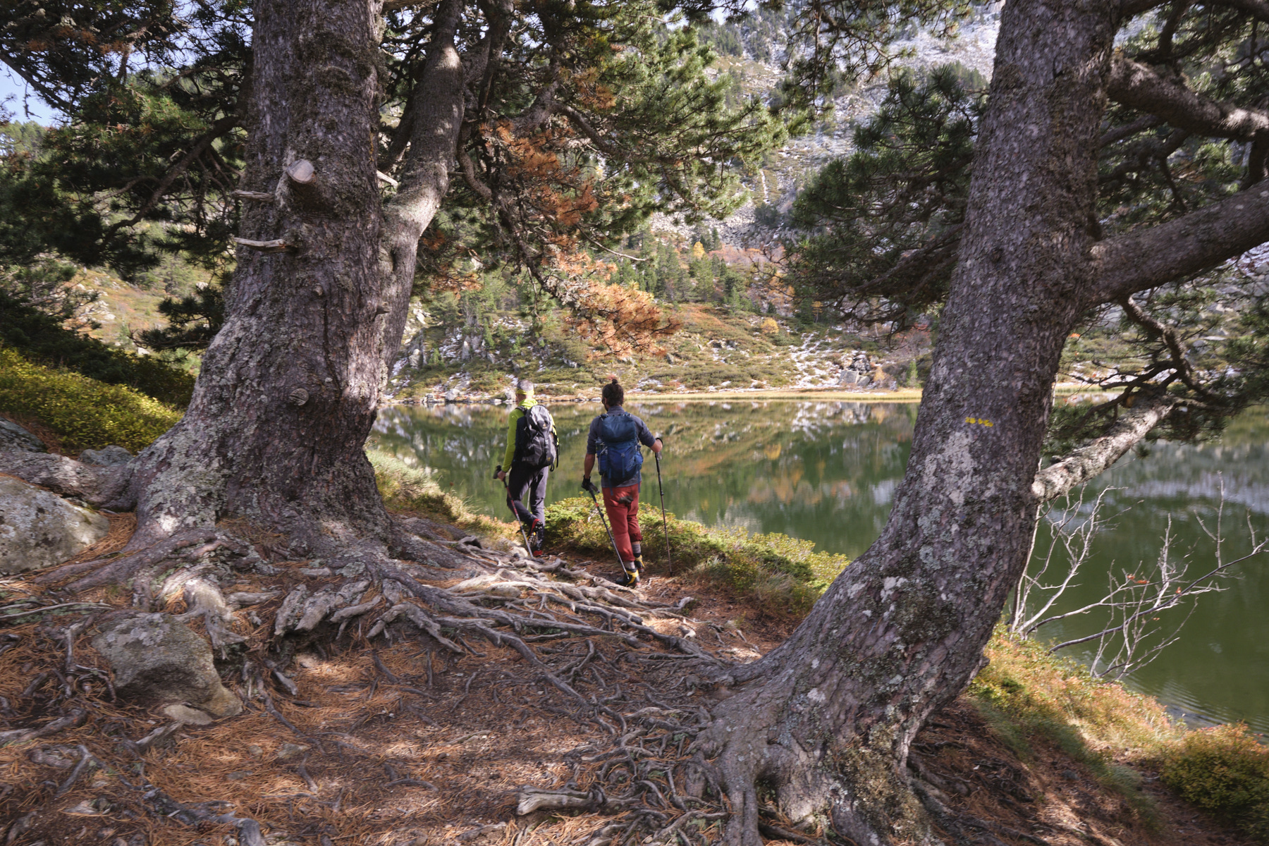
From this point onwards, the trail is no longer signposted, but it is fairly well marked on the ground and there are a number of cairns pointing the way. Reach the edge of the pond and walk along the water's edge on the left (east) side and continue above it, still close to the Balbonne stream. We move off a little to the left to return higher up near the stream. The final stretch is steeper and you finally come across the GR de Pays du Tour du Pays du Donezan (!), which runs along the ridge of the Couillade des Bourriques on the north side.
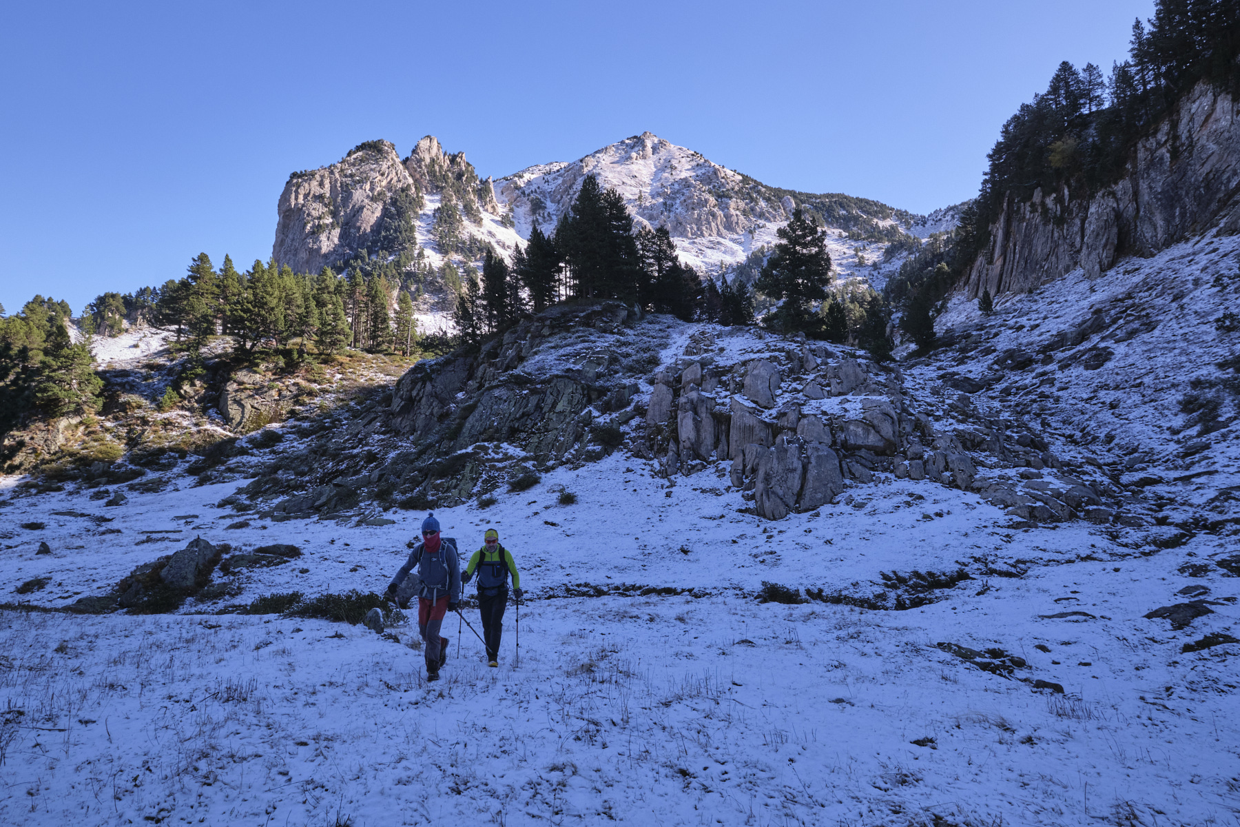
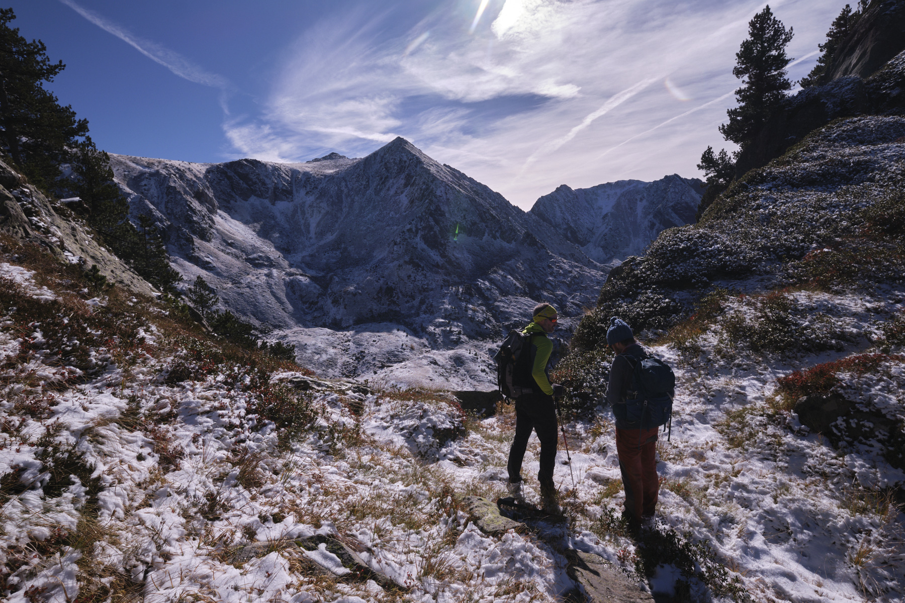
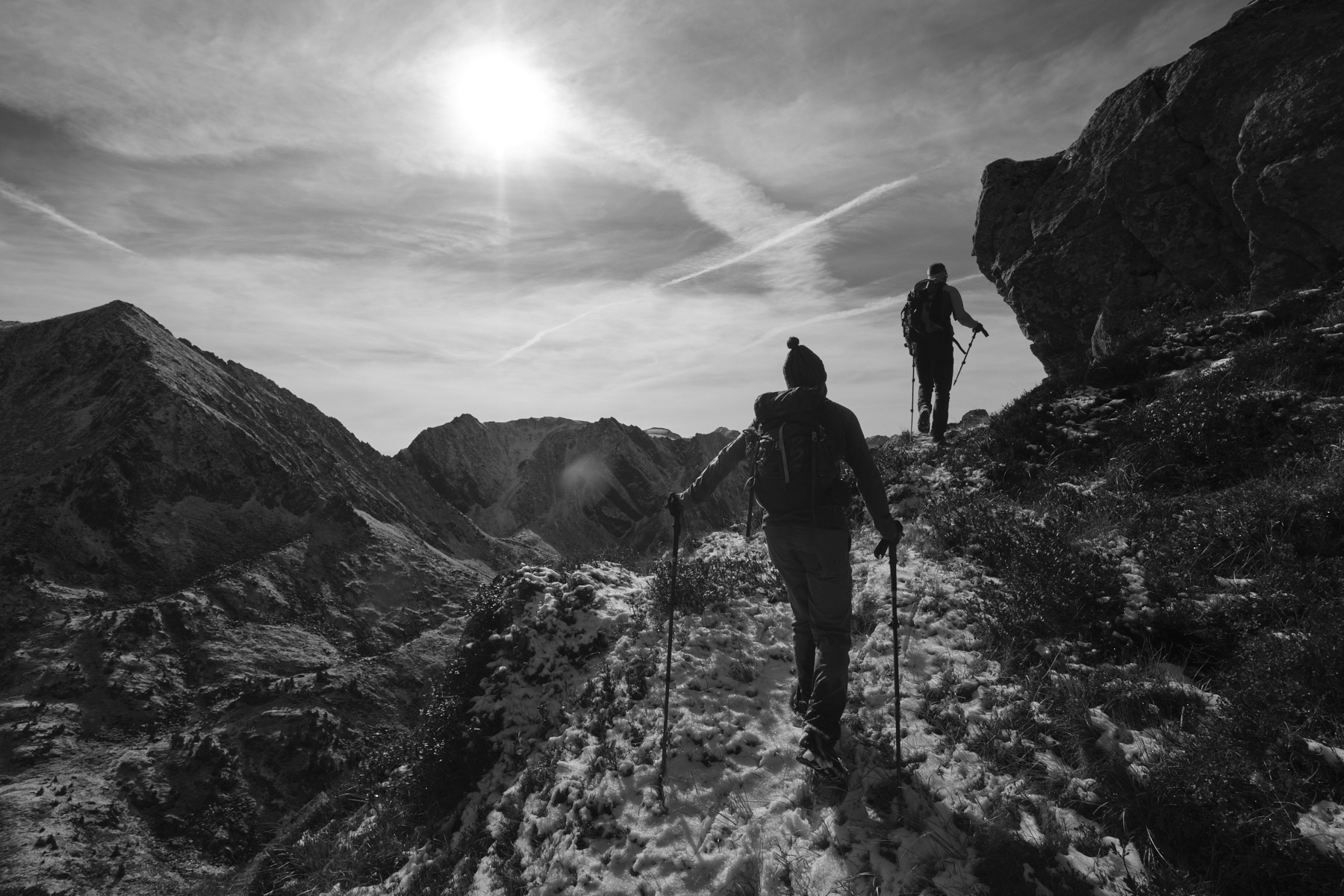
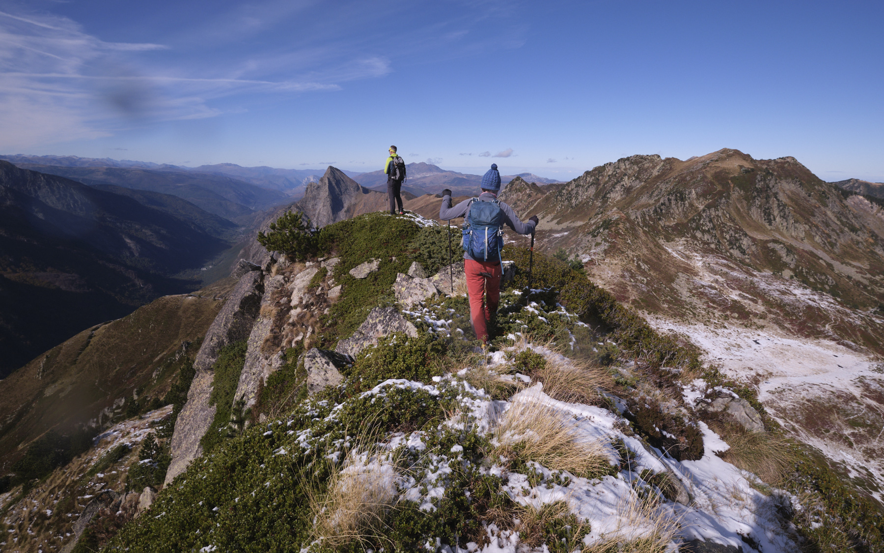
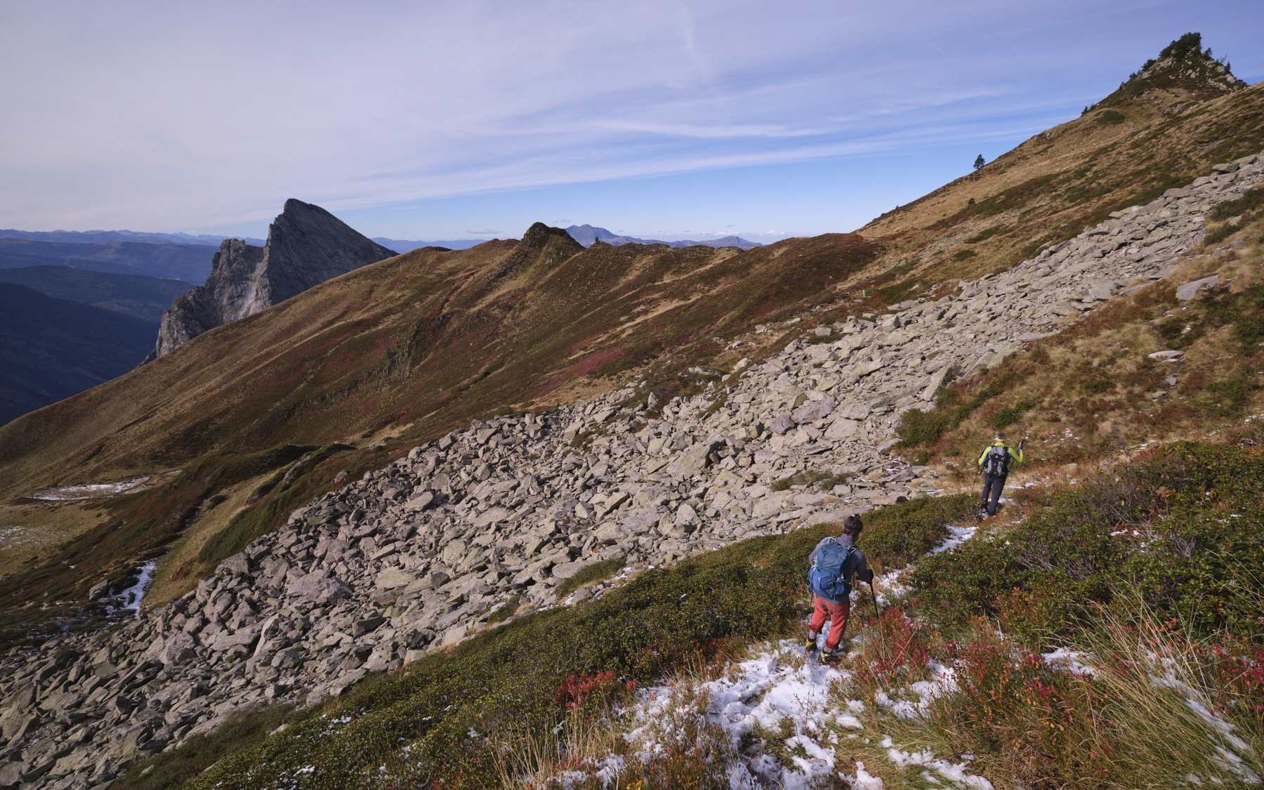
Walk along the GR heading east, but almost immediately leave it to climb an obvious couloir that joins the ridge at a small col, with a plunging view over the valley of the Baxouillade stream, facing Roc Blanc. This is the start of the crest route.
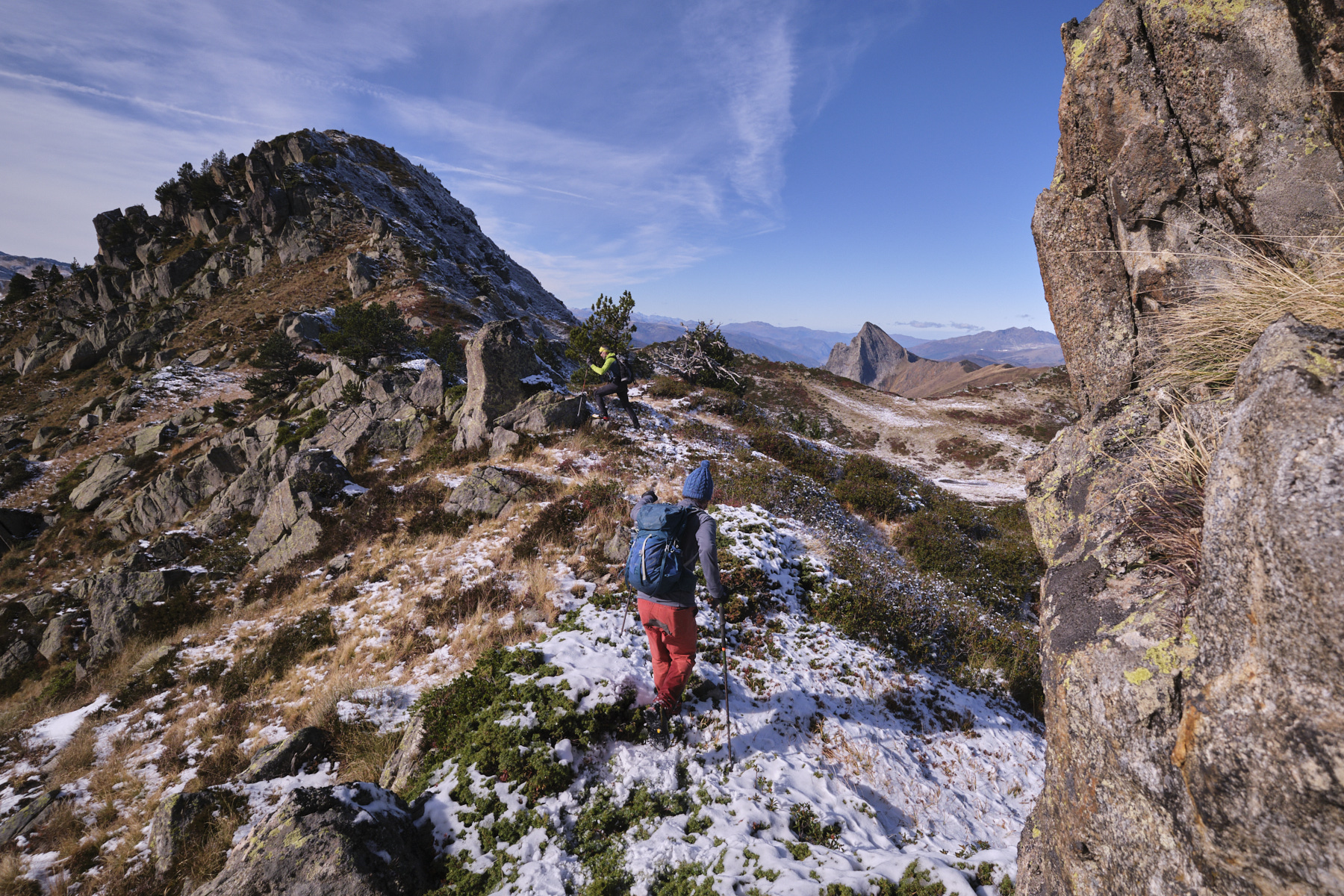
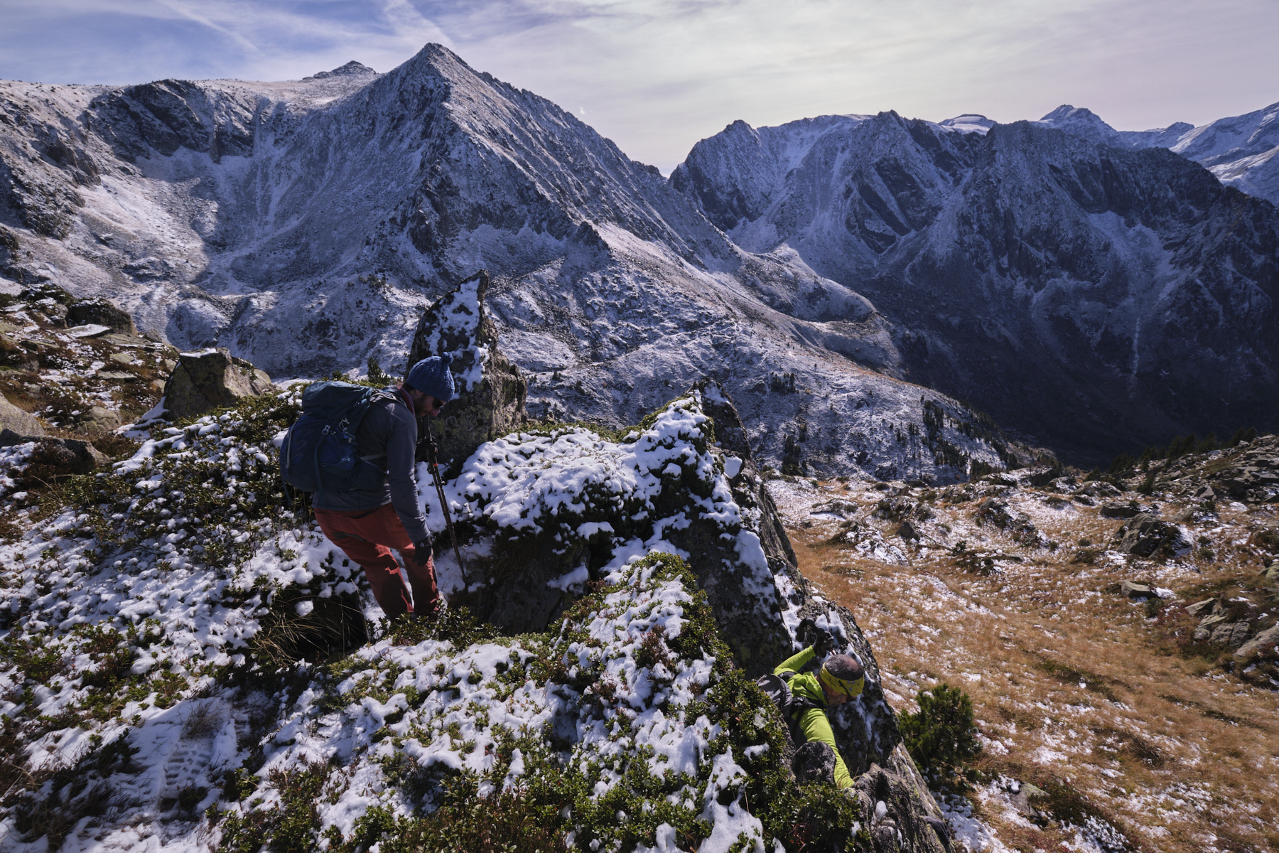
Part 2: the Couillade des Bourriques ridge (1h to 1h30)
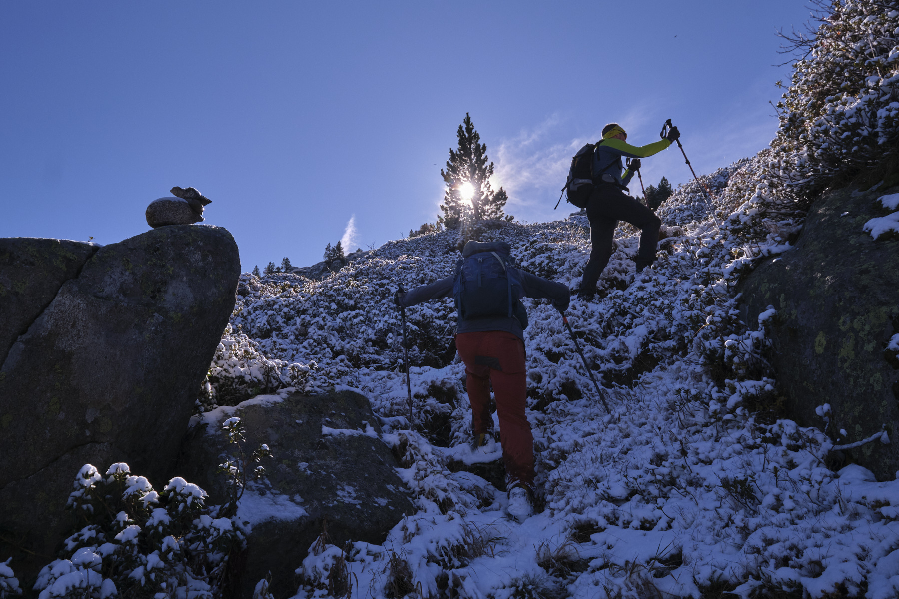
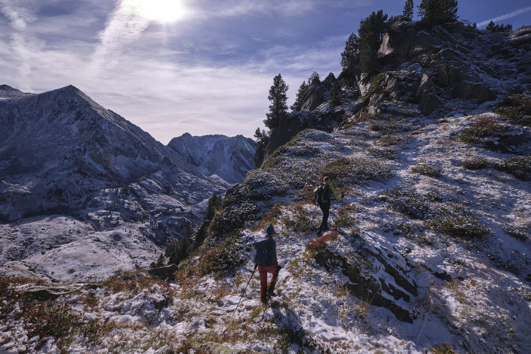
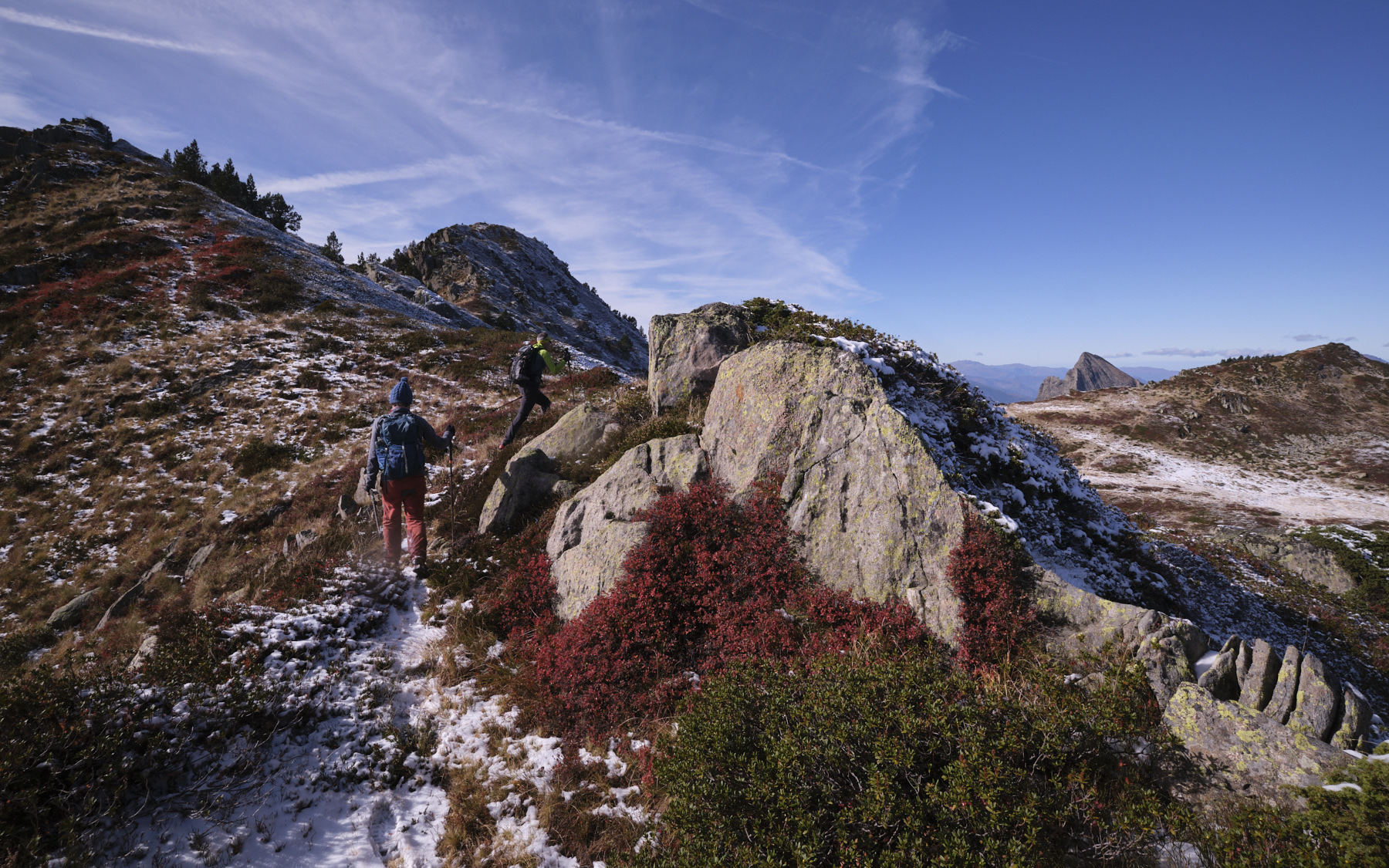
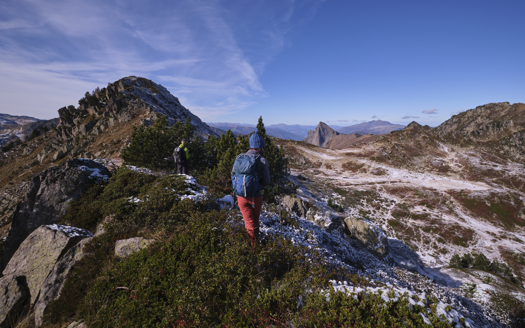
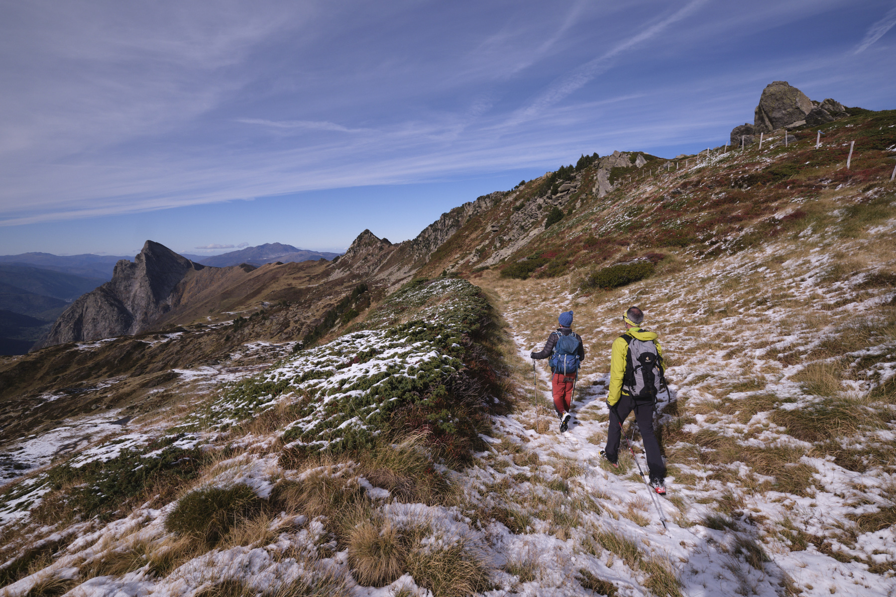
It's hard to describe this itinerary precisely, but the idea is to stay as close as possible to the crest. There is a visible trail, but not everywhere. The ridges are undulating, with several intermediate summits, including the highest, Couillade des Bourriques, just before descending to the GR. Some passages require the aid of the hands to balance or help oneself to progress upwards or downwards. There are also 1 or 2 places where it's better to bypass by cutting under the ridge, rather on the north side.
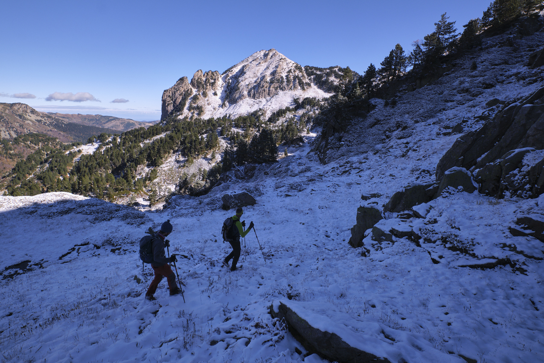
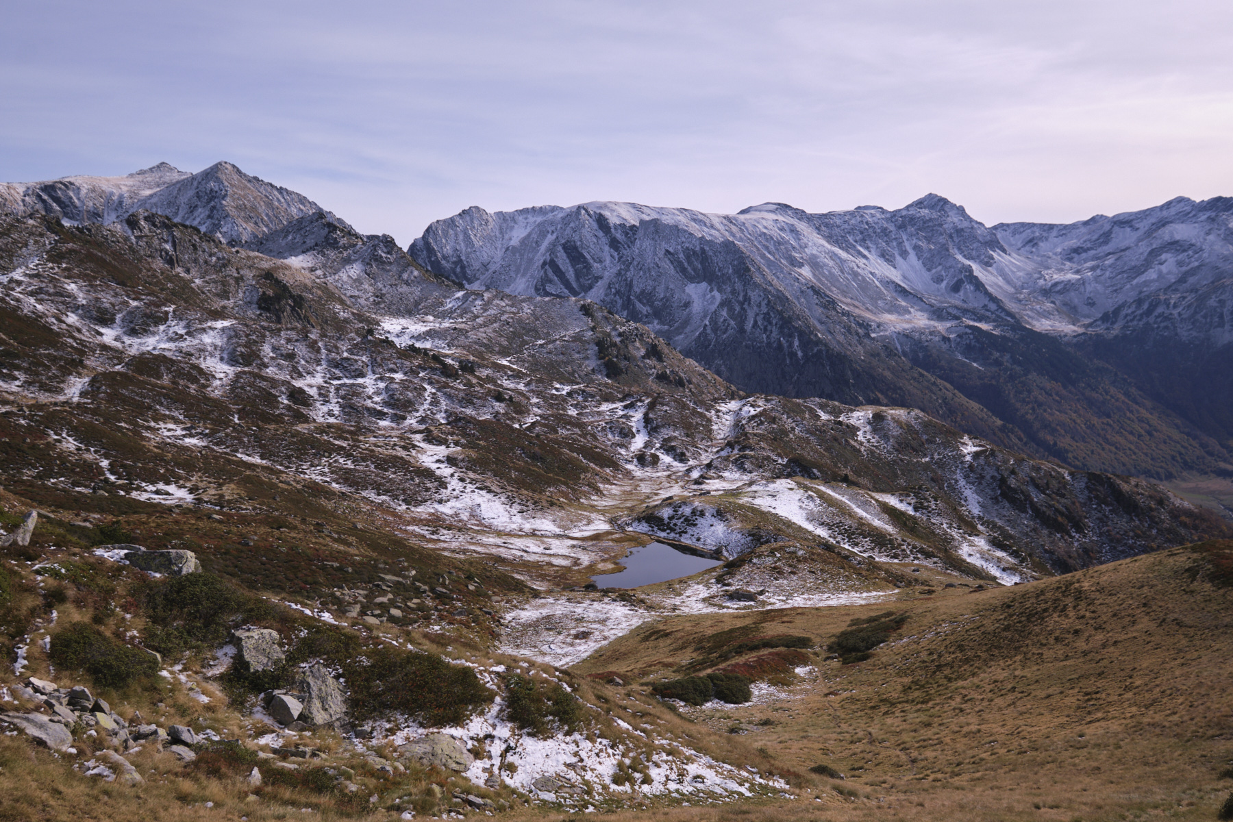
At the end of the ridge, after descending from the somme de la Couillade des Bourriques, join the GR coming from the Coume de Balbonne, just below the small pass on the southern ridge of the Pic de Balbonne.
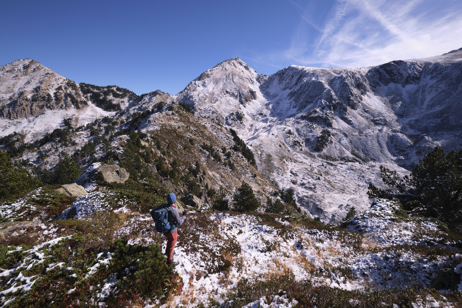
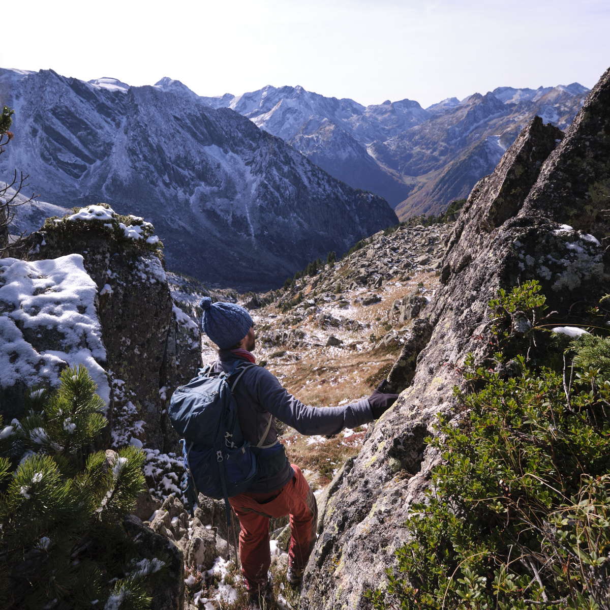
3rd part: from Coume de Balbonne to Etang de l'Estagnet via Col de l'Égue (1h30)
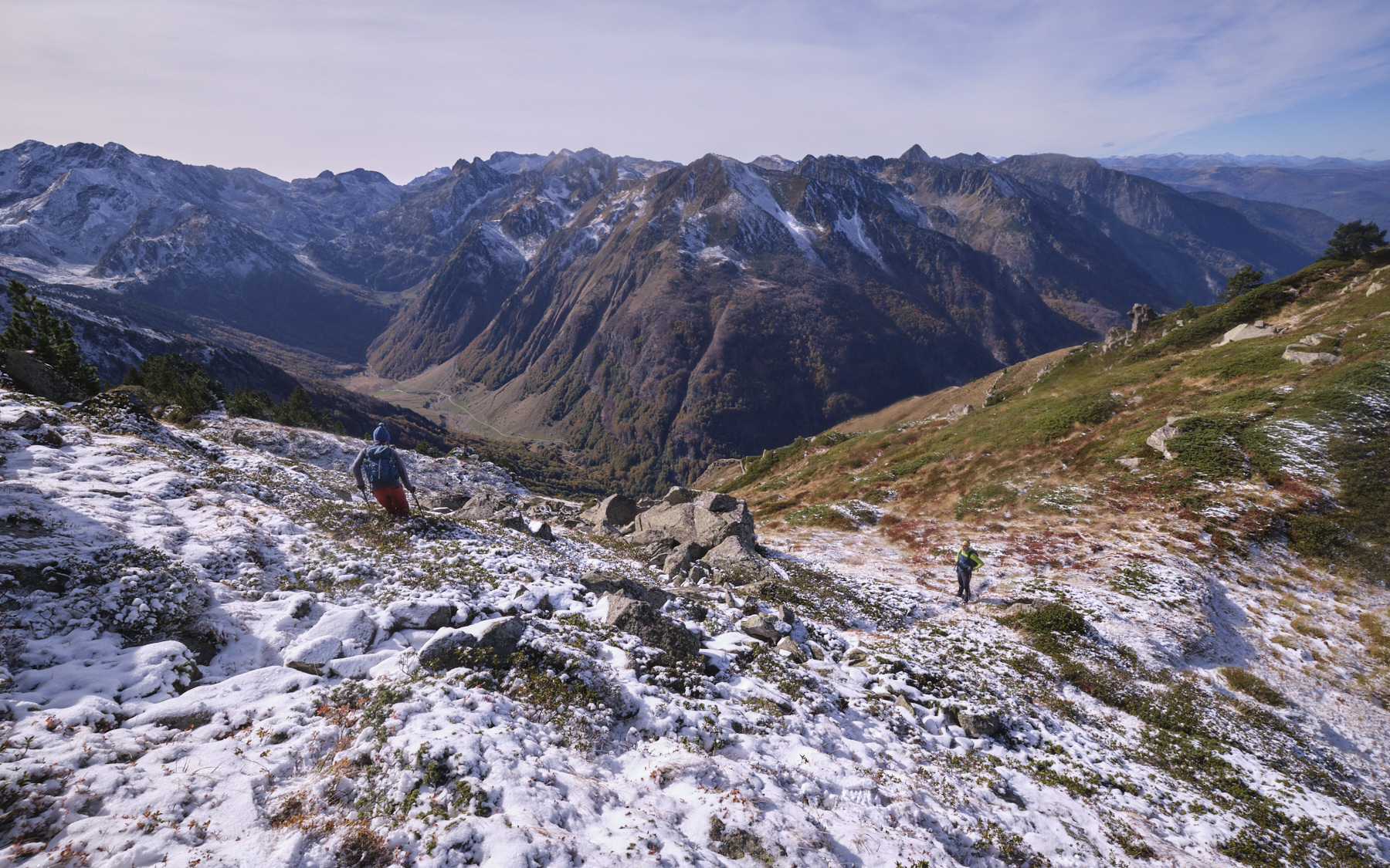
Follow the GR, staying high to cross the long basin below the Pic de Balbonne towards the Pic des Llauses and, further on, the Dent d'Orlu, which rises above the horizon. After passing the étang des Llauses, the GR climbs back up around the Pic des Llauses to reach the Col de l'Ègue. At this point, switch to the north side and leave the GR immediately to descend to the Etang de l'Estagnet via the Coume de l'Estagnet, following the yellow PR path.
4th part: from Estagnet pond to Restanque parking lot (1h)
At the pond, the path skirts the bank on the left, then descends following the Estagnet stream, again marked in yellow. At the bottom, you'll find a long grassy bank. The slope becomes gentler, and the path eventually joins another, more substantial yellow-marked path leading down from the Rabassoles ponds. Follow it, turning right above the Artounant stream. You finally reach the Restanque, the starting point of the loop, and then the parking lot via the forest track.


 Partager sur WhatsApp
 Partager sur Twitter
Partager sur Instagram
Partager sur Twitter
Partager sur Instagram

 Partager sur Facebook
 Imprimer le topo
 Laisser un commentaire


Leave a Reply