Departing from the Goulier resort, today's itinerary consists of joining the ridge just before the Pijol de l'Asquitère and heading towards the Pique d'Endron on a panoramic route off the marked trail, with some technical difficulties to progress on the second part. The return is via the classic route of the Sarrasi ridge, before plunging back towards the resort from the Pic du Sarrasi. A challenging alpine hike for experienced hikers only. A suggested itinerary found on the philrando website.
❱❱ Technical summary
►Departure point: Goulier resort, Ariège (09) ►Type of route: alpine loop hike ►Distance: 12 km ►Cumulative elevation gain: +1150 m ►Cumulative negative elevation gain: -1150 m ►Estimated total time: 5h to 6h ► Min and max altitude: 1470 m / 2472 m ► Marking: Small section of GR to reach the Pijol de l'Asquitère and yellow marked path to descend from the Pique d'Endron to the station, everything else is off marked path or off path altogether. ►Equipment in place: none ►Equipment required: none
Difficulties: there are a few small passages to be climbed or unclimbed on the north-west ridge (III max), mostly in the second part, some of which are exposed - avoidance traverse on the west side below the Pic de Sauzeton on steep, unstable terrain - on the Sarrasi ridge, passage at the top of the Endron niche exposed especially in the presence of snow.
❱❱ Access to the place
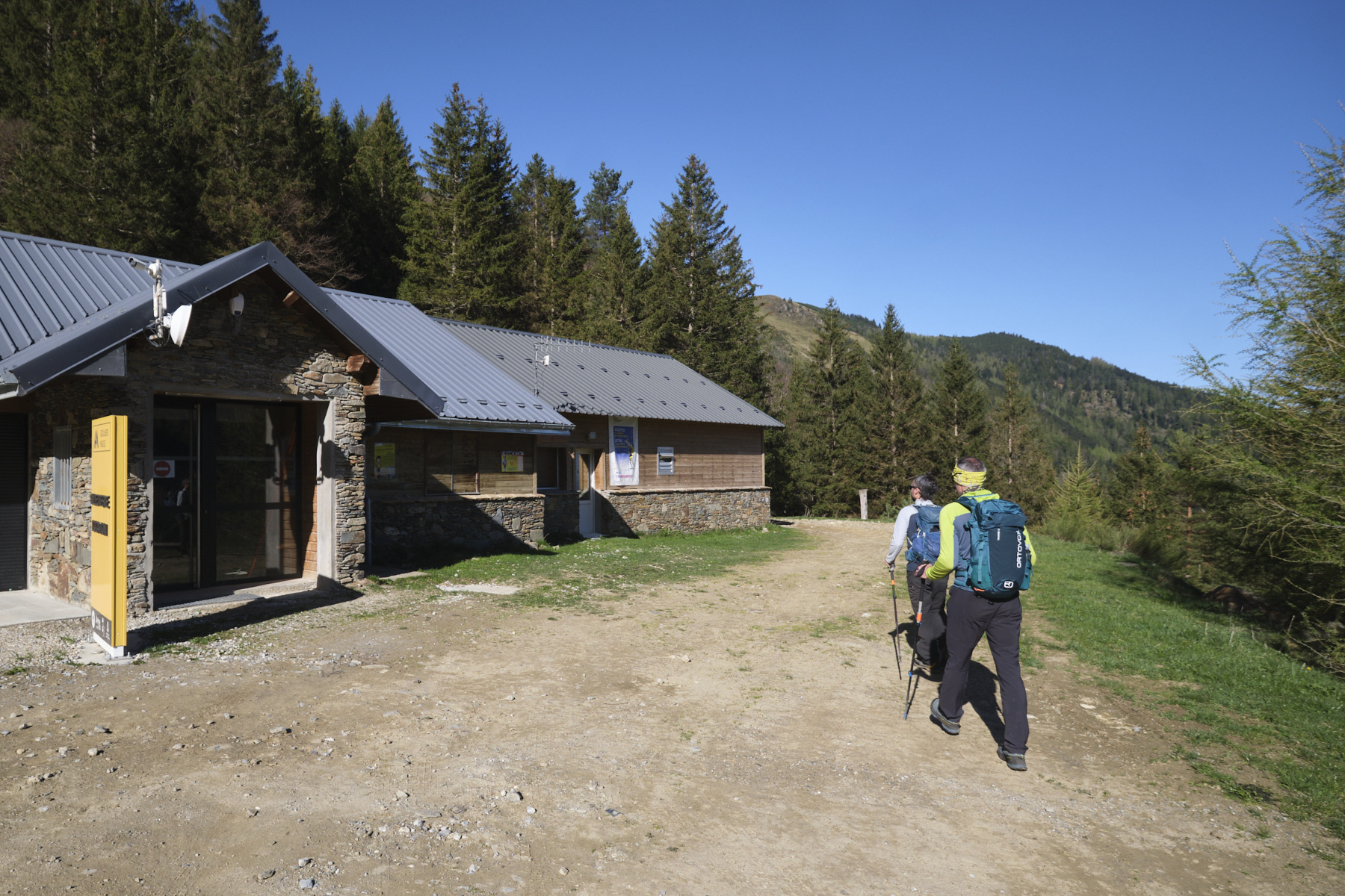
From the N20 at Tarascon-sur-Ariège, at the Sabart traffic circle, take the road north towards Vicdessos and Auzat. Just before Vicdessos, turn left onto the small road leading up to Goulier. Drive past the village and park in the resort parking lot at 1470m altitude.
Part 1: from the resort parking lot to the pass before Pijol de l'Astiquère (1h15, 1740m)
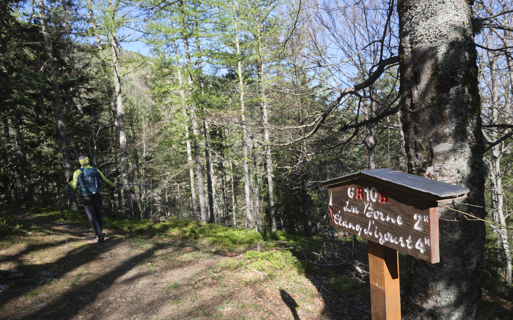
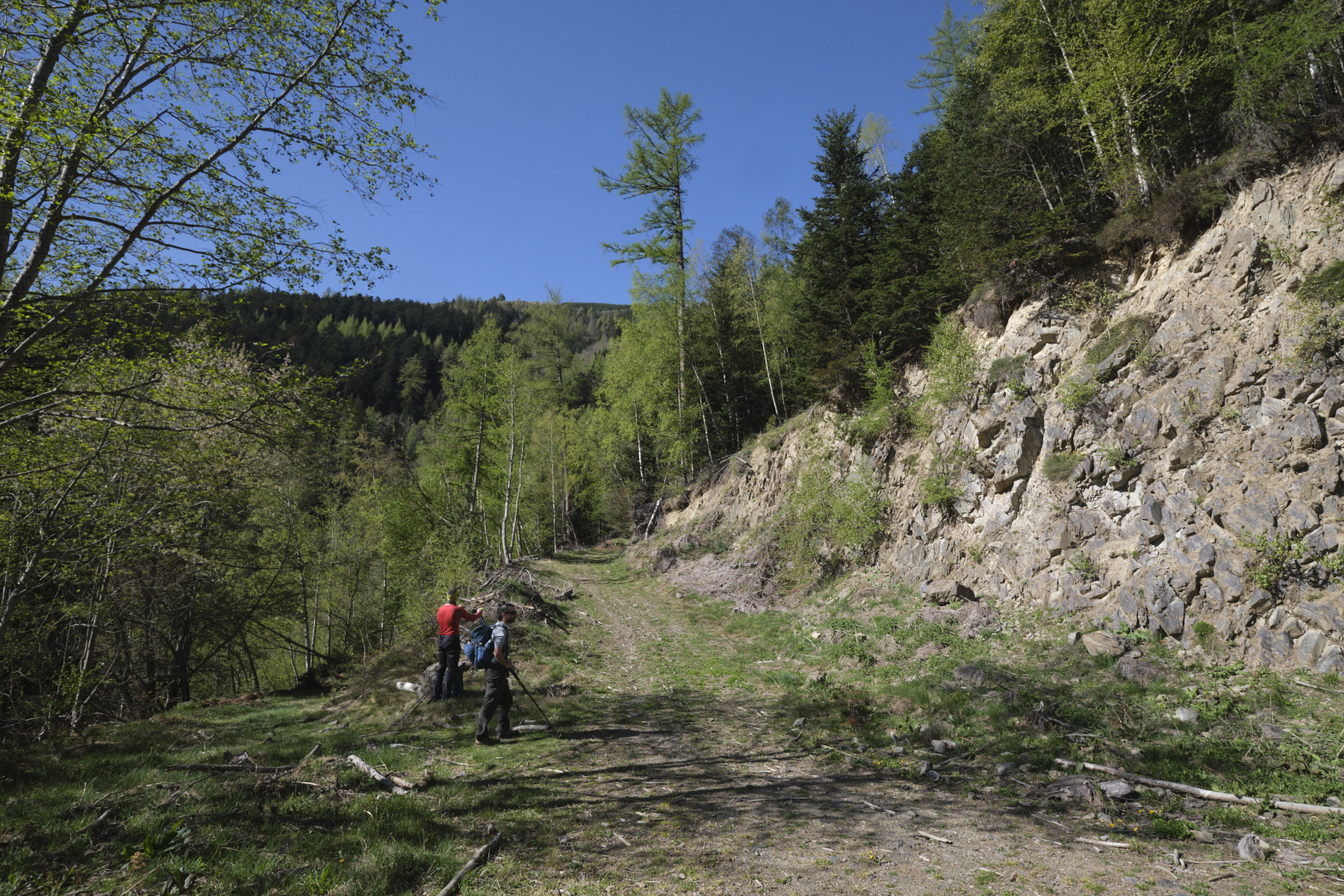
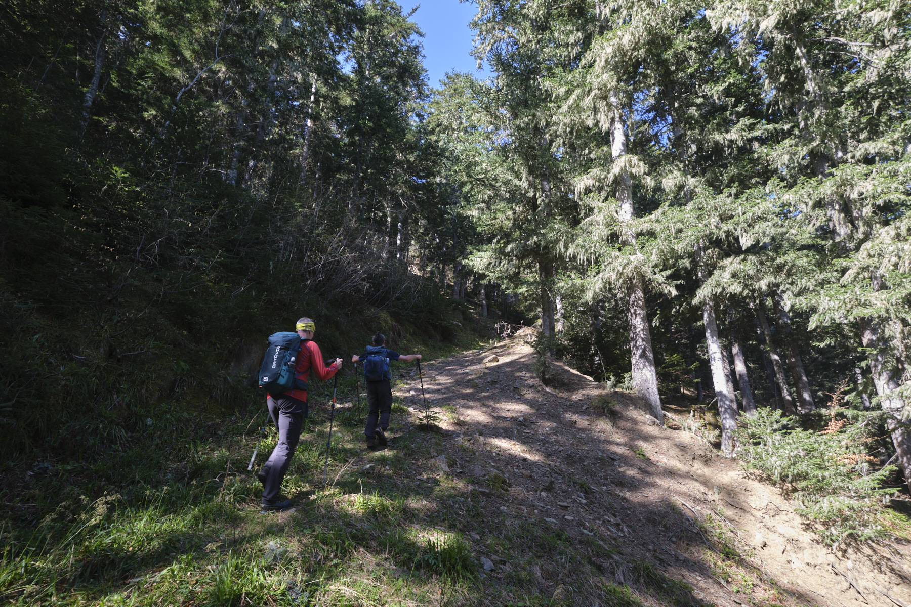
Leave the parking lot to the west, take the forest track and go down further at the fork. Further down, you come across the GR. Turn left and follow the GR path along the side, crossing the Goulier stream and continuing along the GR path on the opposite side. Further on, you pass over a rocky section reinforced by a stone support, and finally come out onto a track in a large rounded area.
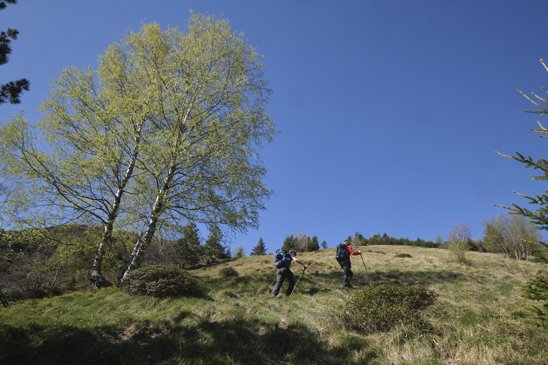
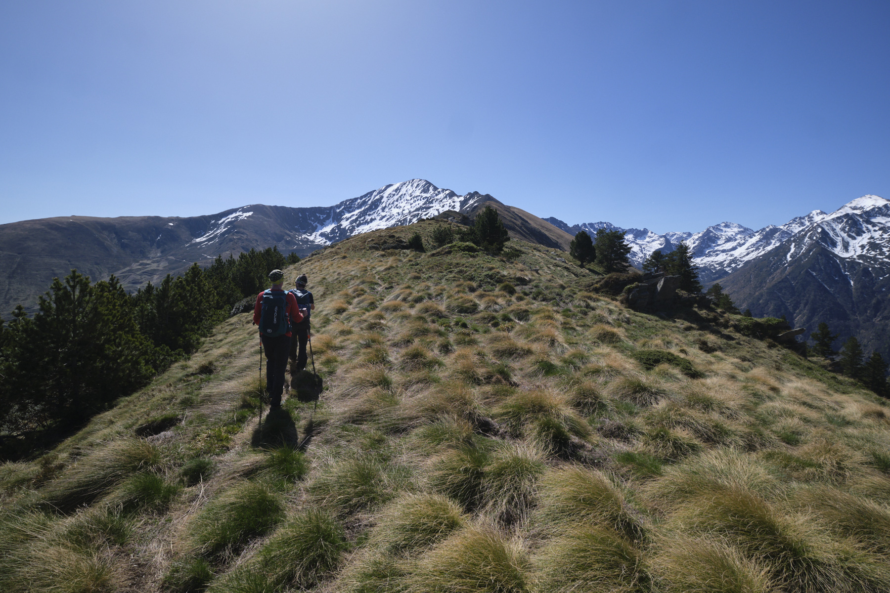
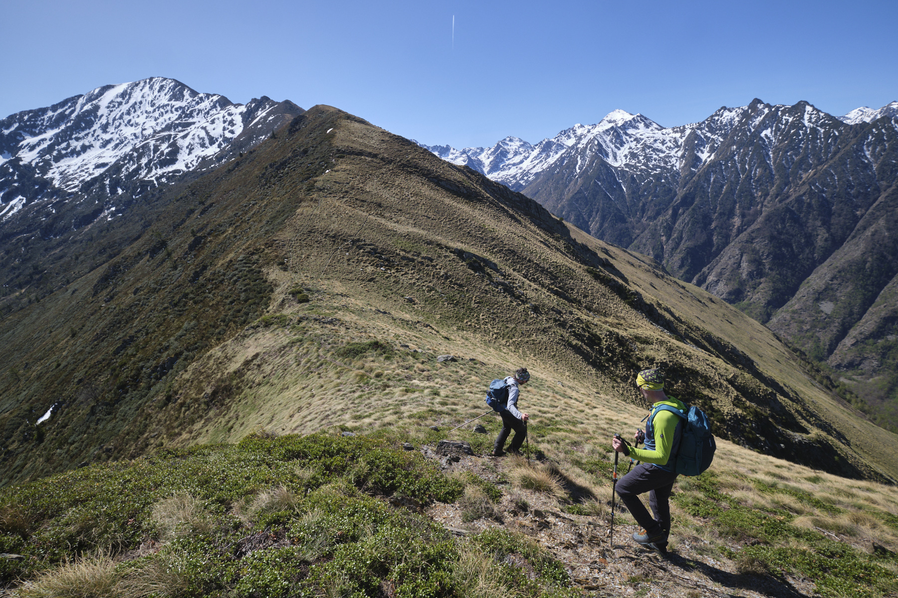
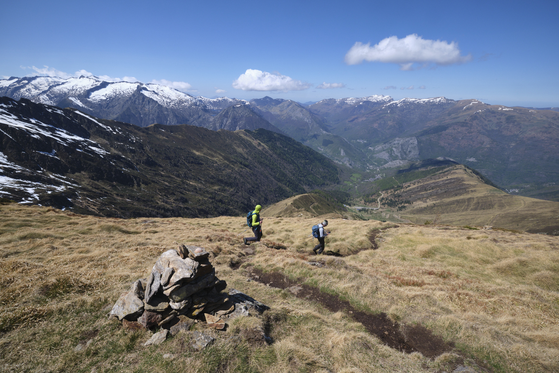
Turn left and climb up. At the fork, leave the uphill track on the right and continue left on the grassy track with a few regrowths. It climbs steadily into the forest. Pass two tight switchbacks and come to a dead end. Join the open grassy area by crossing some 50 m of forest between branches. Climb the steep slope lined with large tufts of grass, staying close to the edge of the wood. A little further up is a well-marked path at a bend. Follow it uphill to easily reach the col du crête, north of Pijol de l'Asquitère.
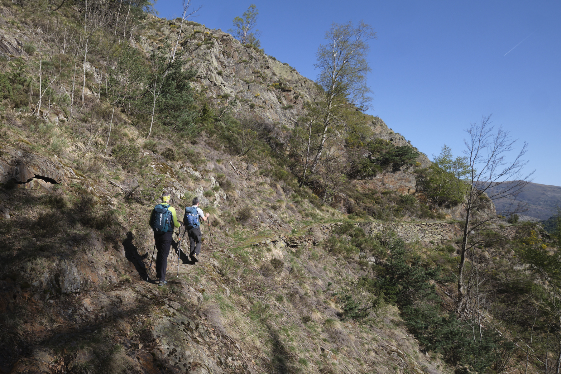
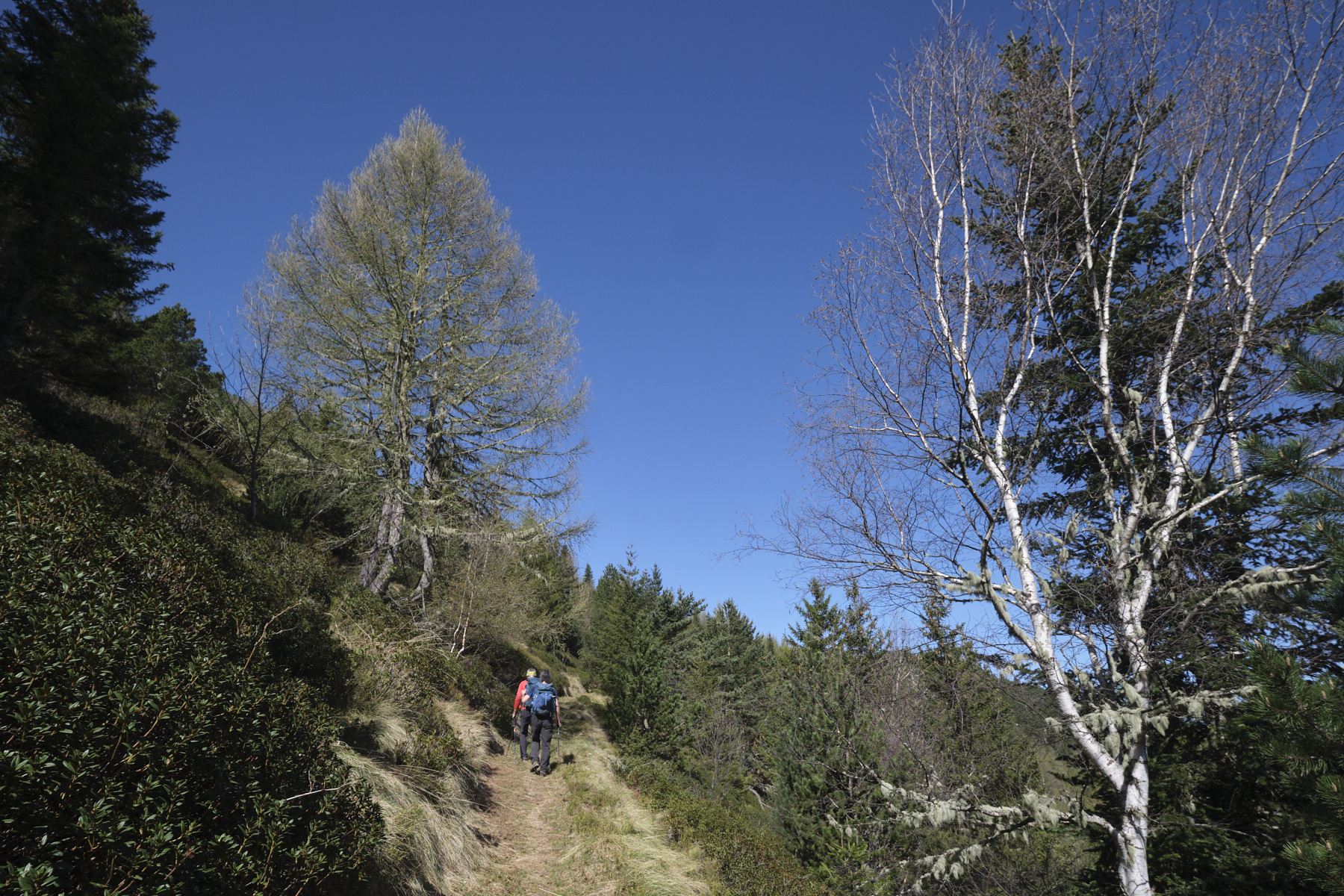
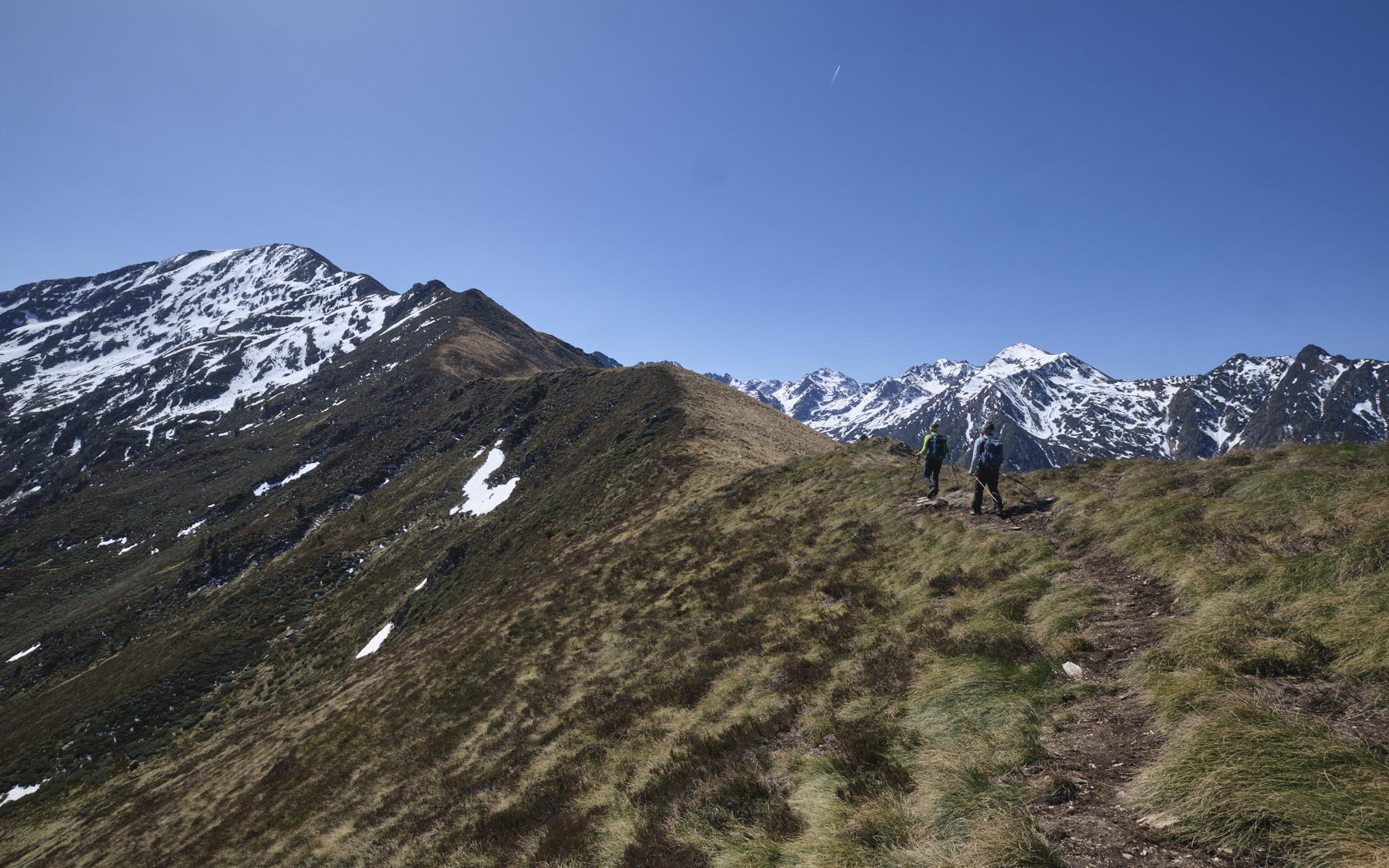
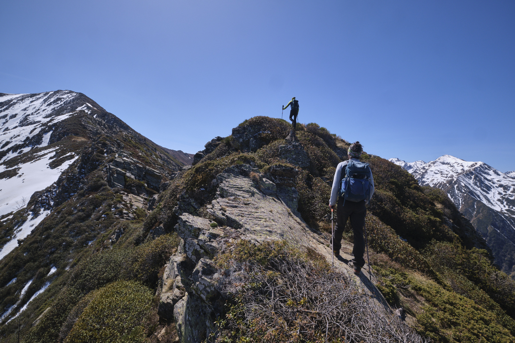
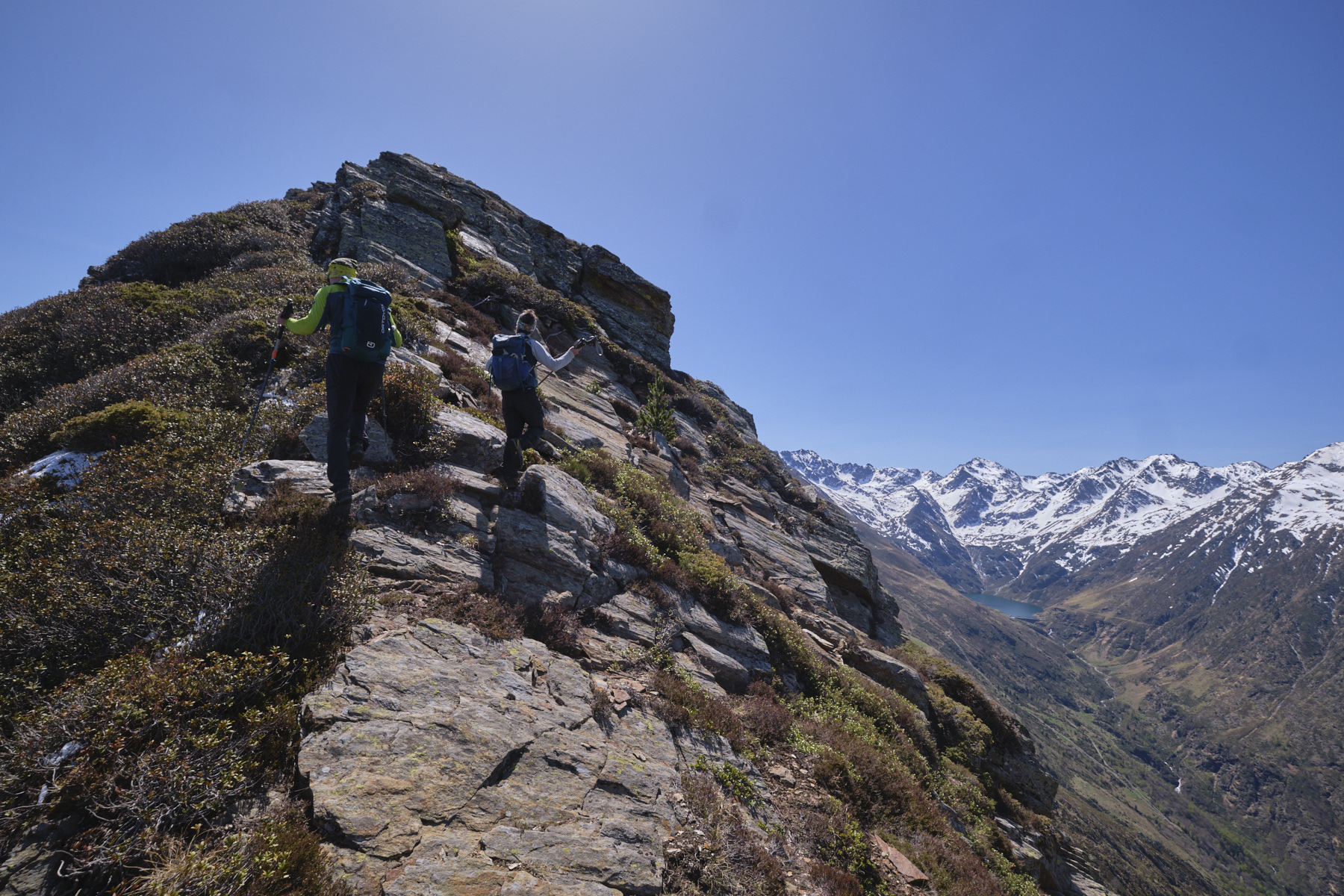
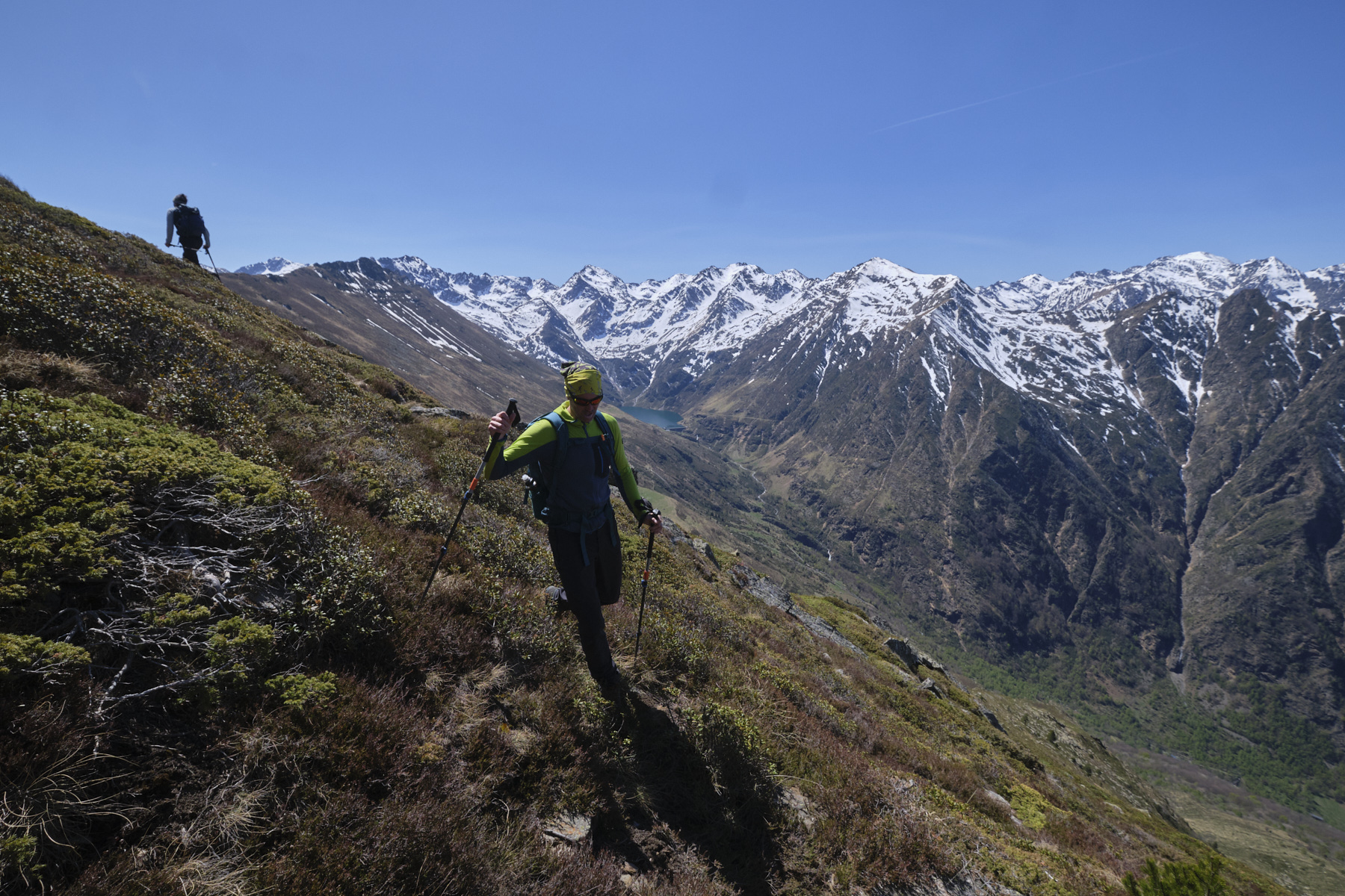
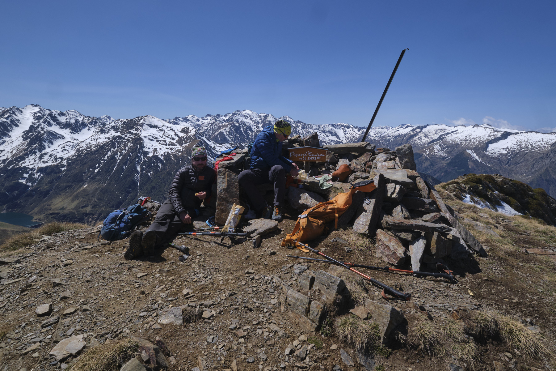
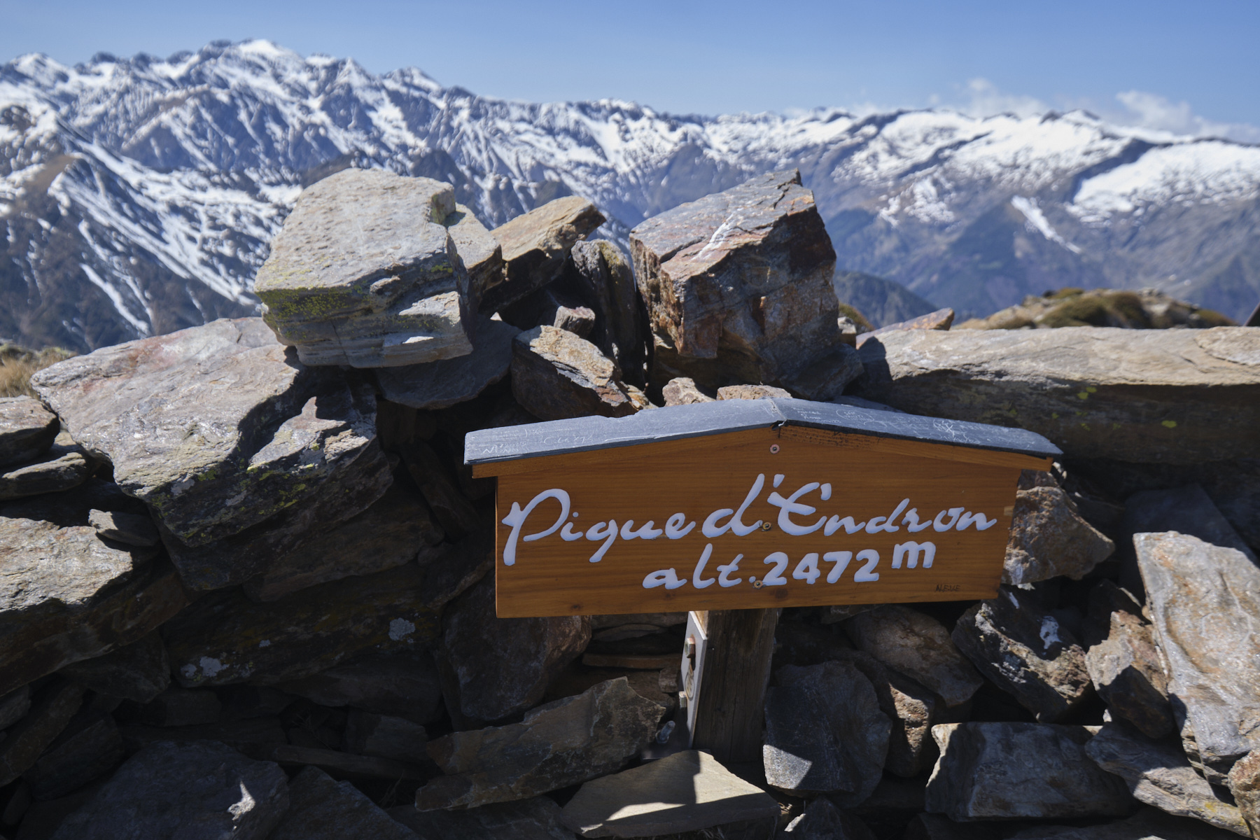
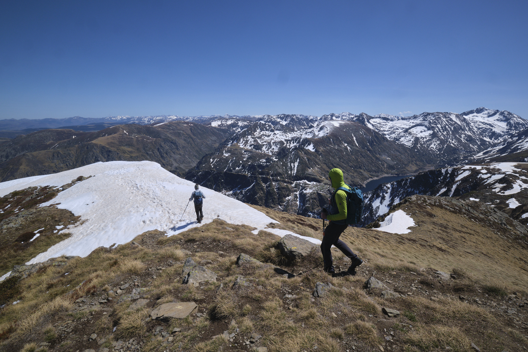
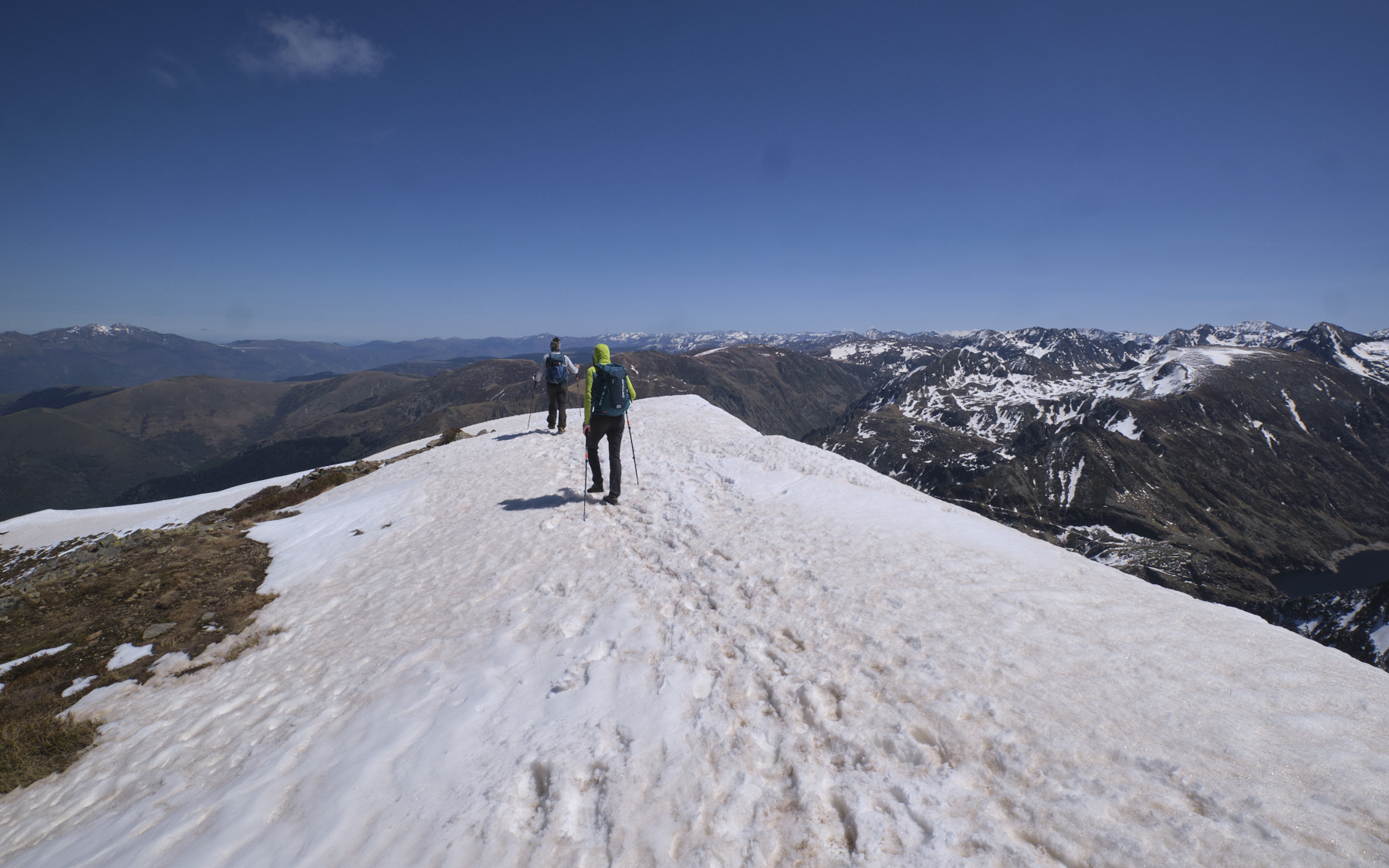
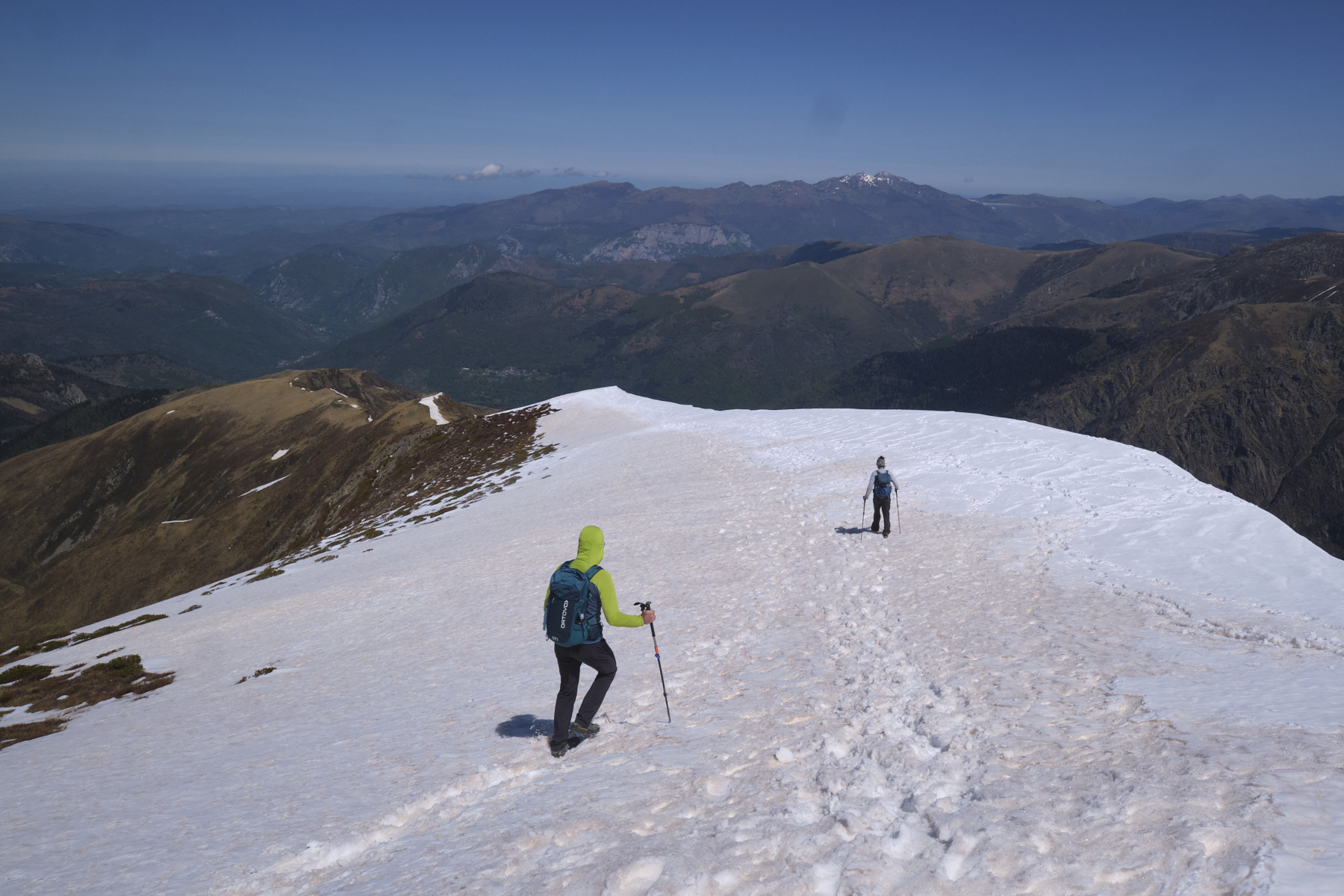
2nd part: north-west ridge to Pique d'Endron (2h30 to 3h, 2472m)
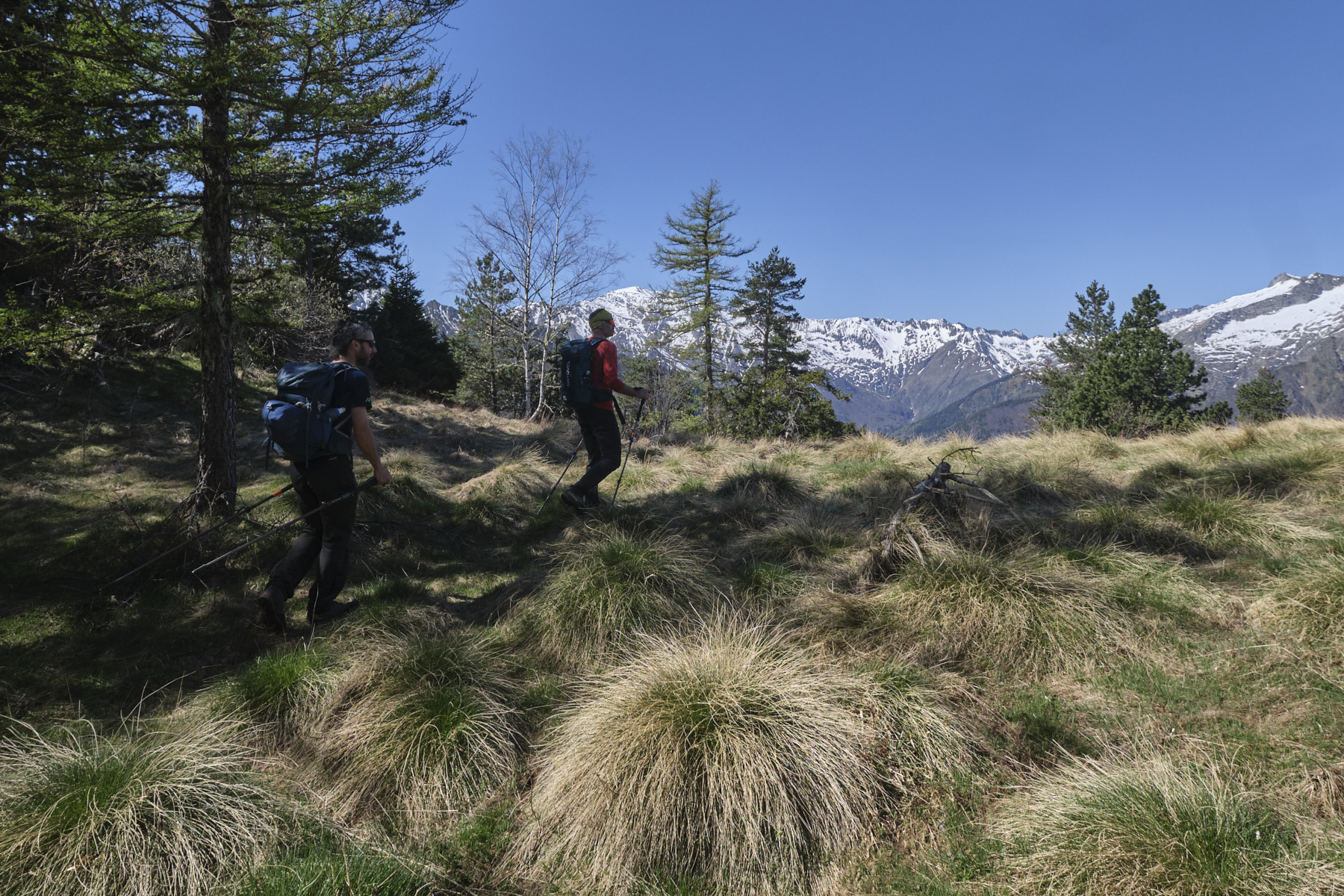
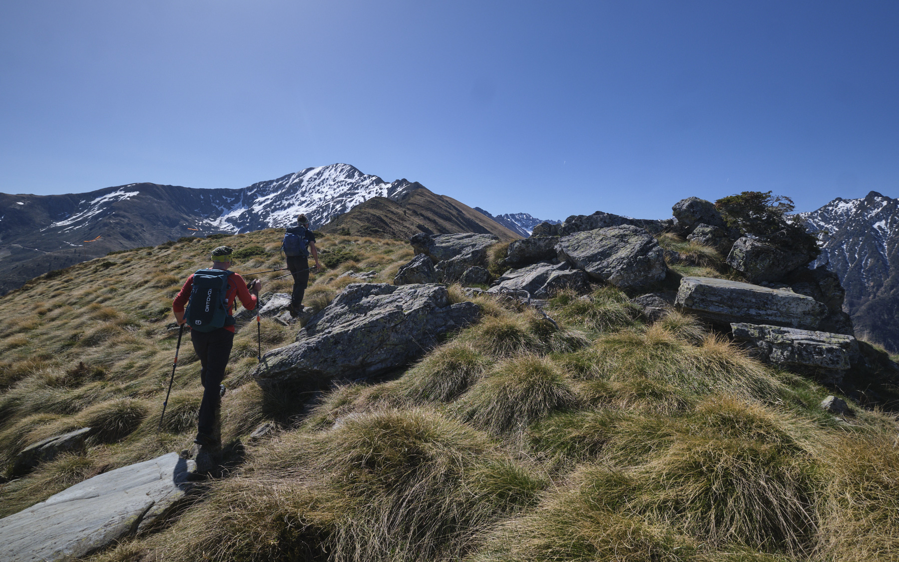
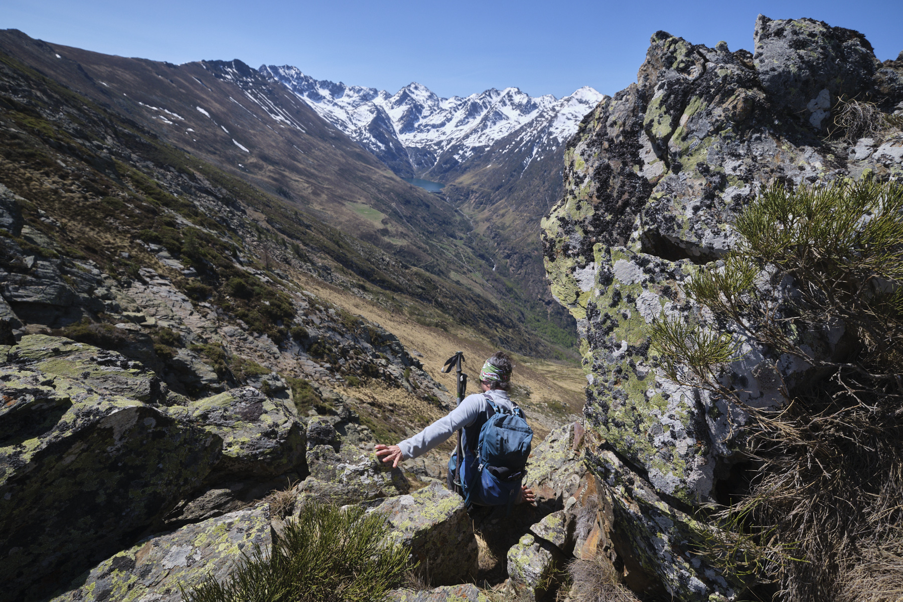
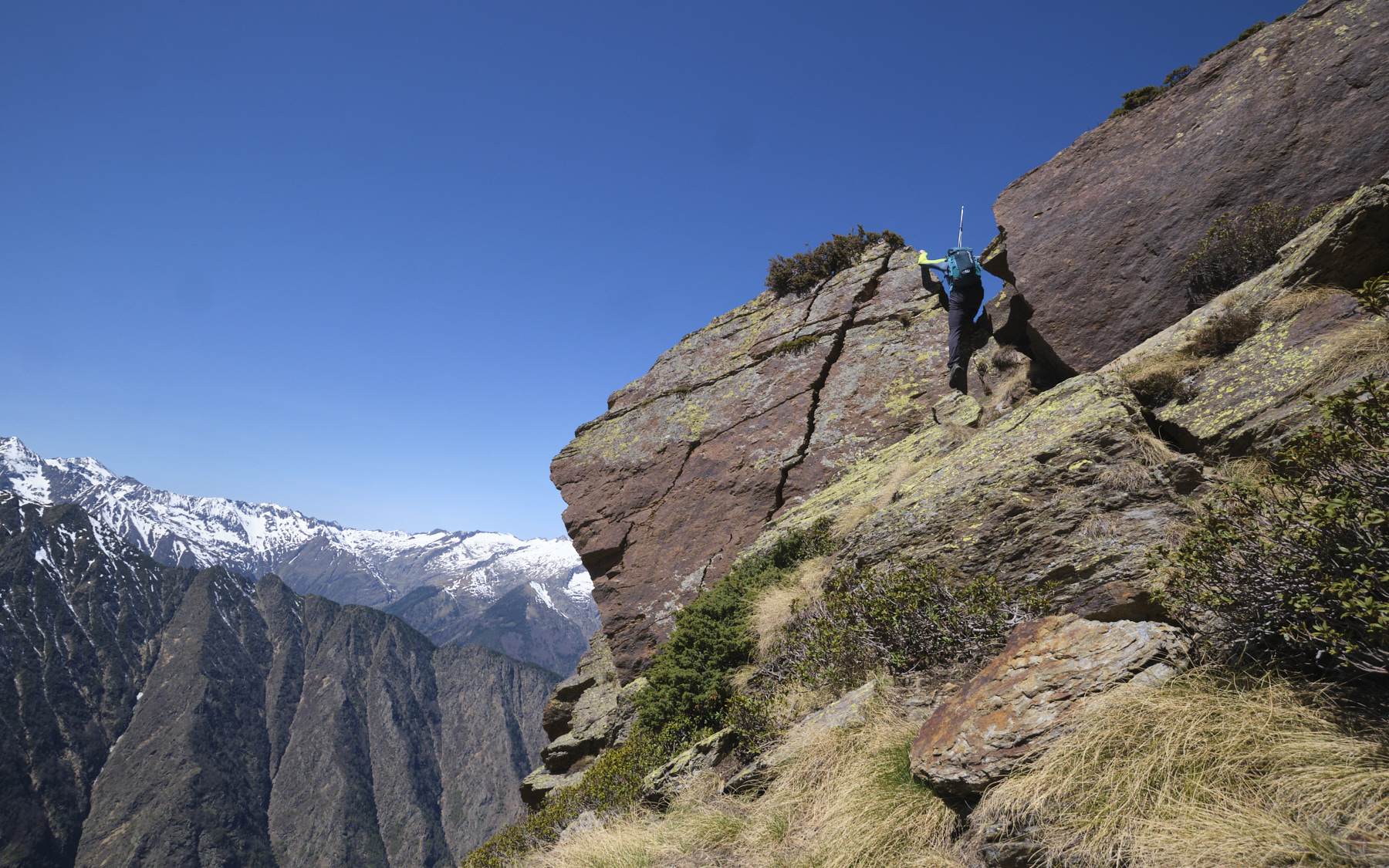
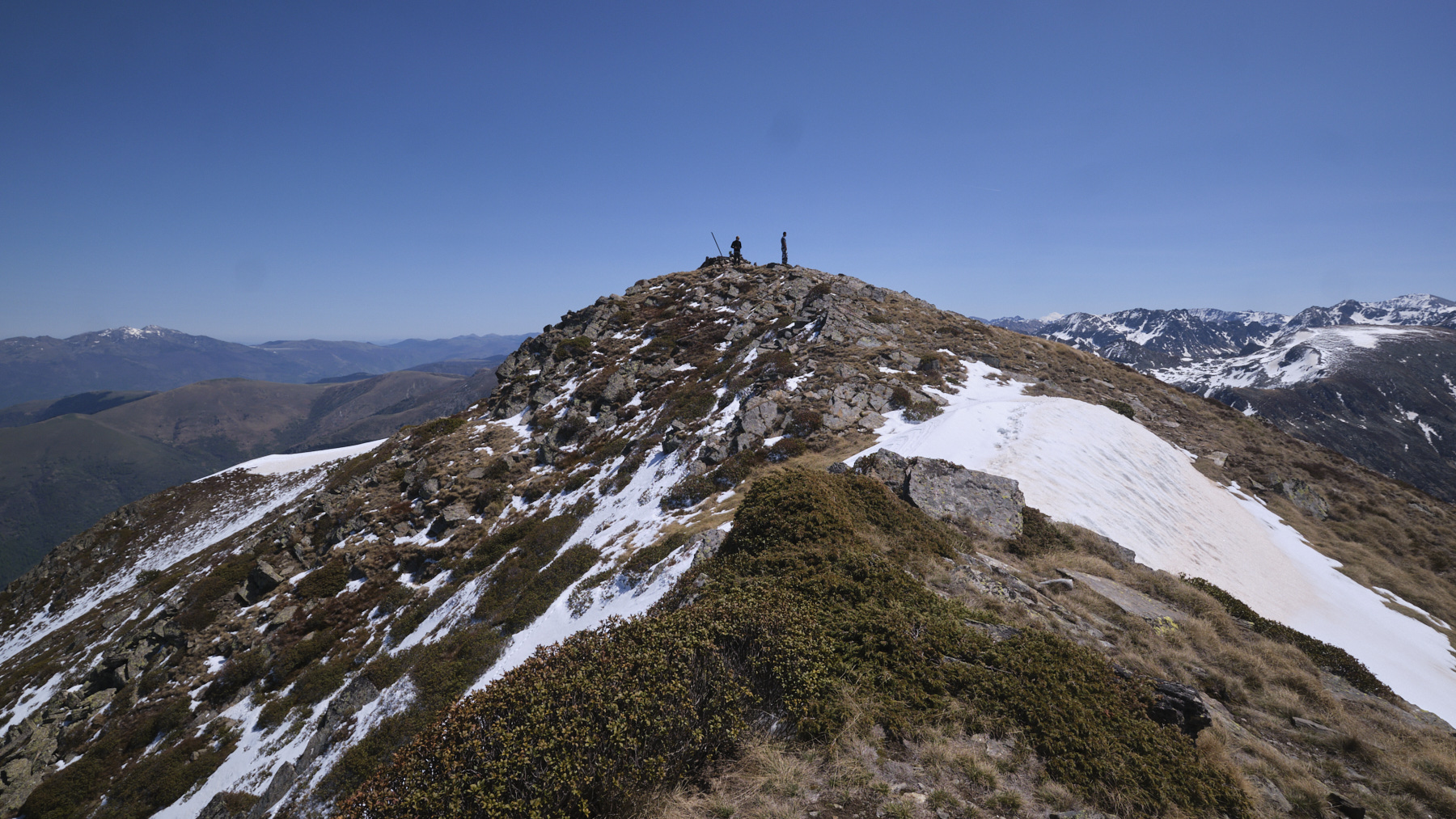
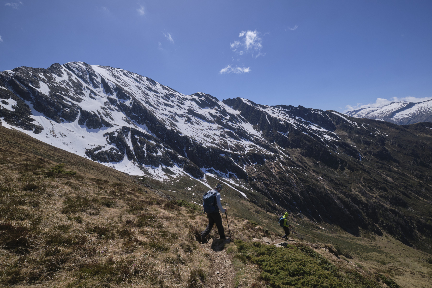
The north-west ridge leading to Pique d'Endron winds irregularly between the eastern slope of Goulier and the slightly less steep western slope. Climb up from the col for a fairly steep ascent to Pijol de Sarrouge. The rest of the climb involves a number of bumps and intermediate summits, with successive descents and ascents that gradually take their toll on the legs. Pass the Pijol d'Argentan and then the Pijol des Enroucades, keeping to the crest's edge as far as possible. The descent from Pijol des Enroucades involves a short, aerial and exposed descent into a rectangular gap between 2 large boulders (see photo).
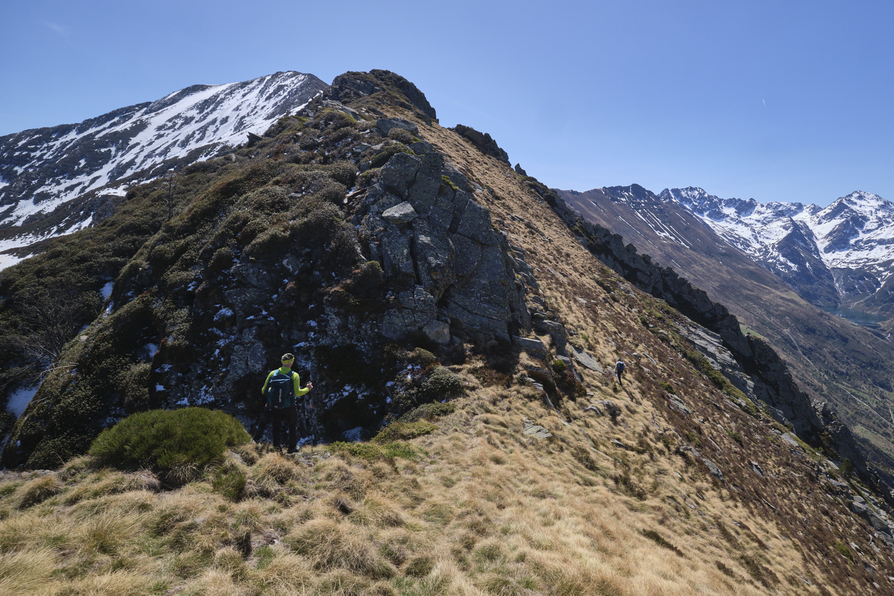
Then continue up a few more steps before reaching the double summit of Pic de Sauzeton. There's a gap between the 2 summits, invisible from where you're coming from, but which seems impassable. Escape here by cutting across the west-facing slope to pass low enough to avoid the slab walls and cross the steep, stony couloir below the gap. Once through, climb straight up the steep slope to the summit of Pic de Sauzeton (small iron cross).
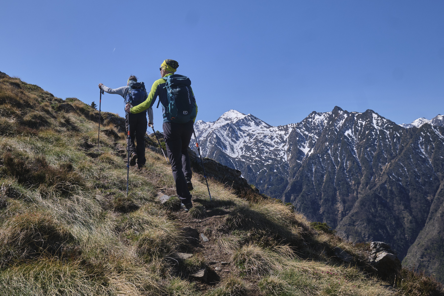
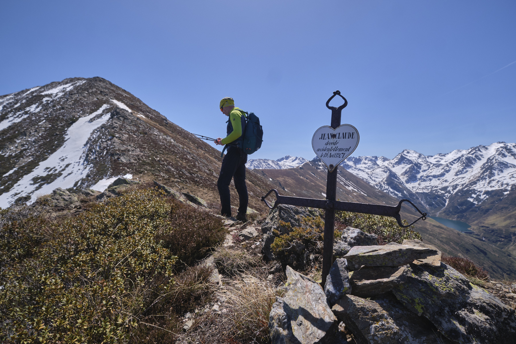
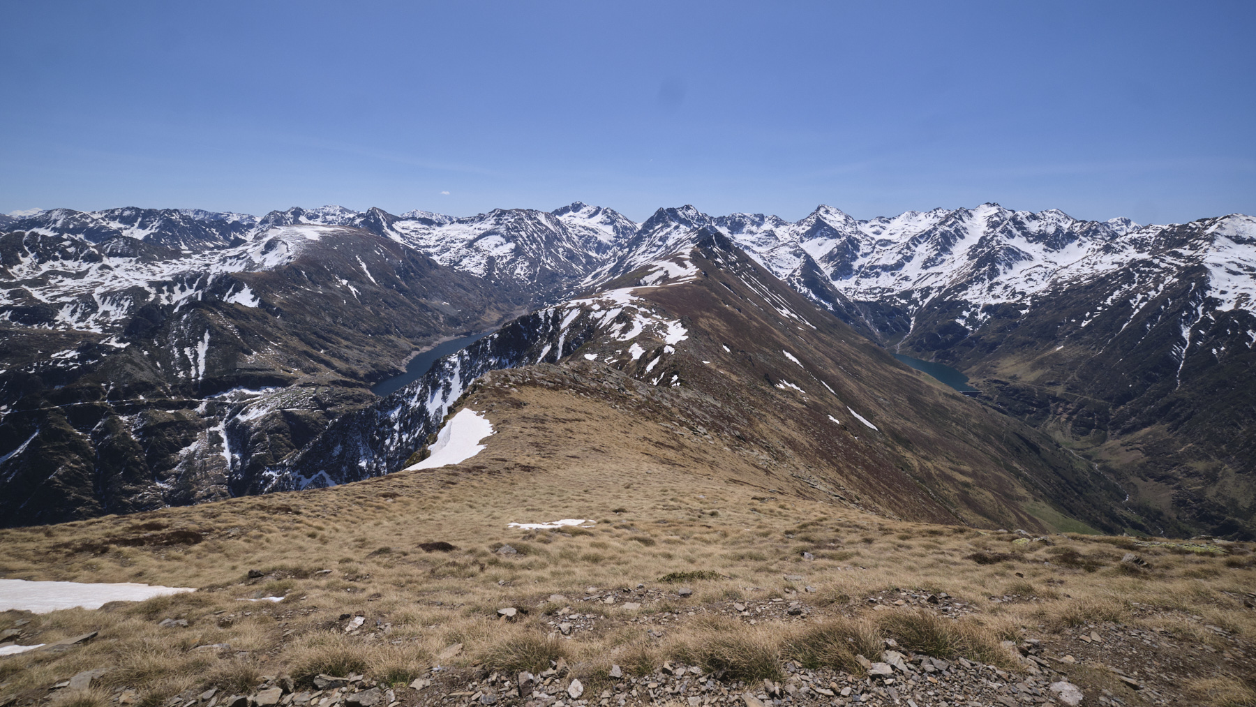
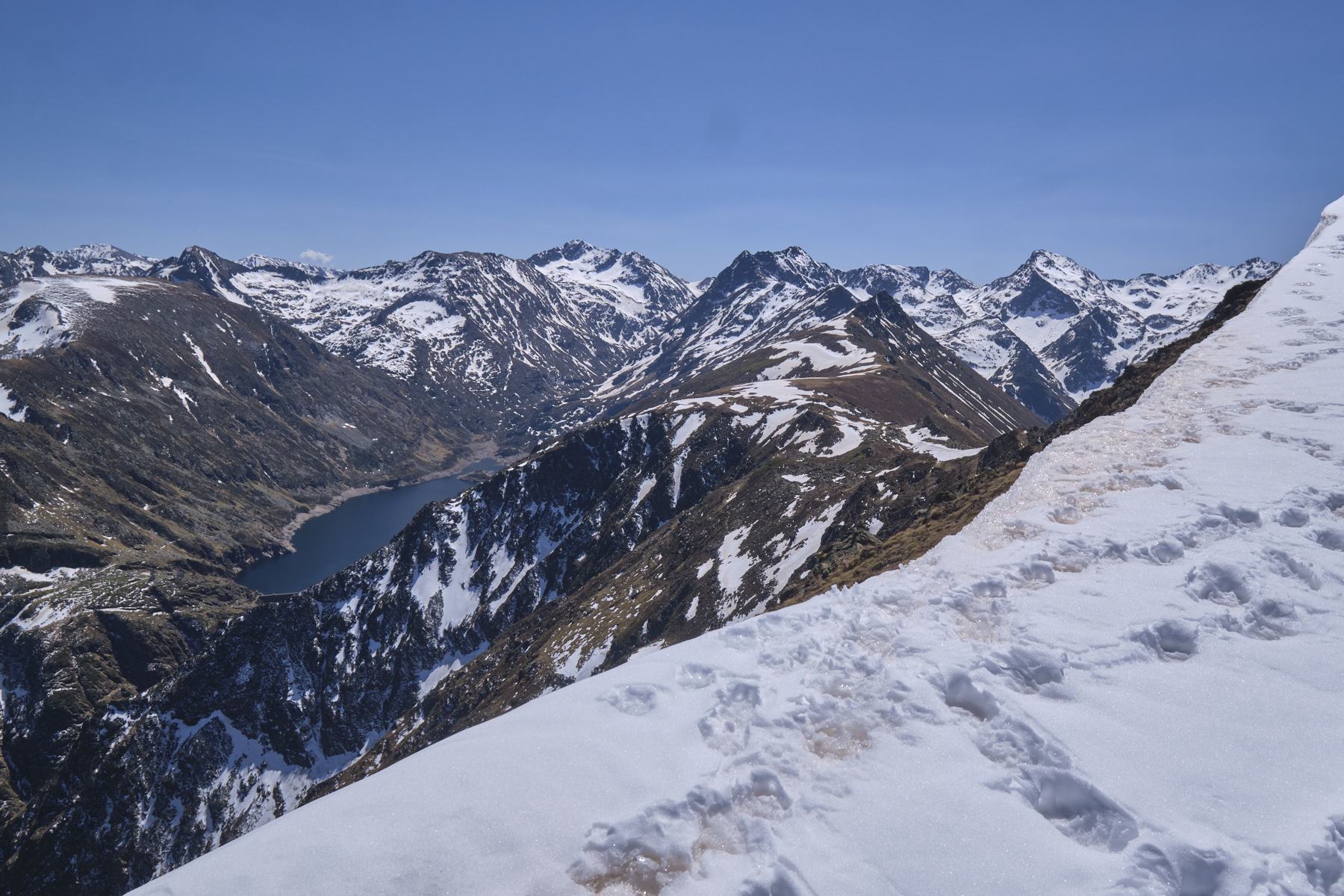
The rest of the way to the Pique d'Endron is still long, with numerous near-summits to cross, often on the ridge or slightly to the south-west. At the summit, an impressive 360° view: the Bassiès ponds, Montcalm, Gnioure and Izourt ponds and, on the other side, the Tabe massif in the distance, the Sinsat cliffs and even Tarbézou!
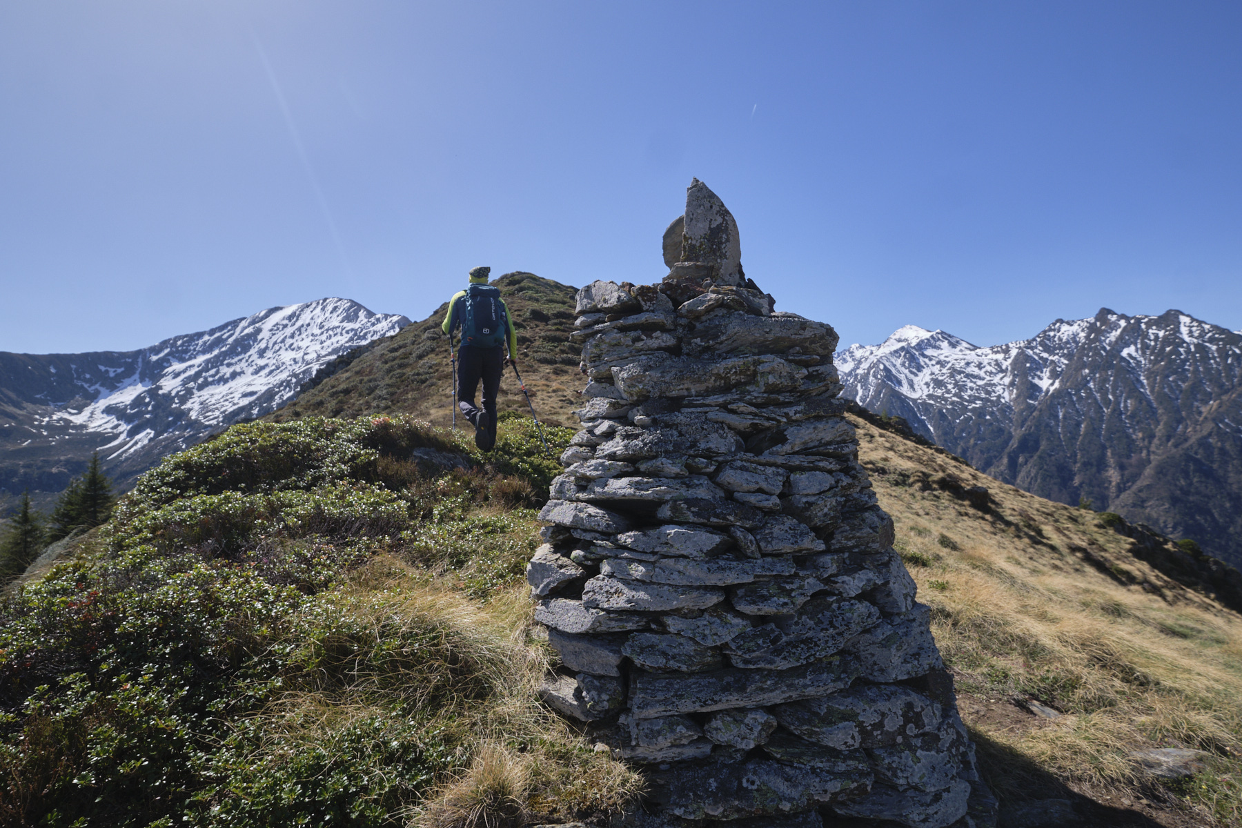
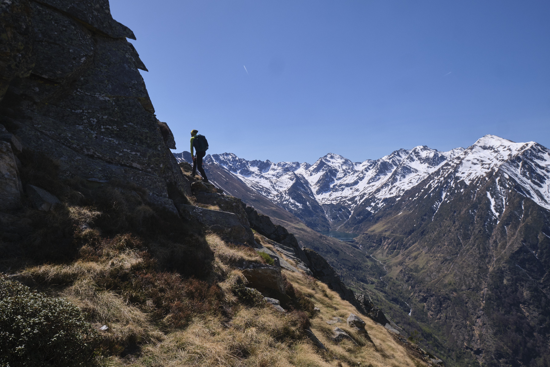
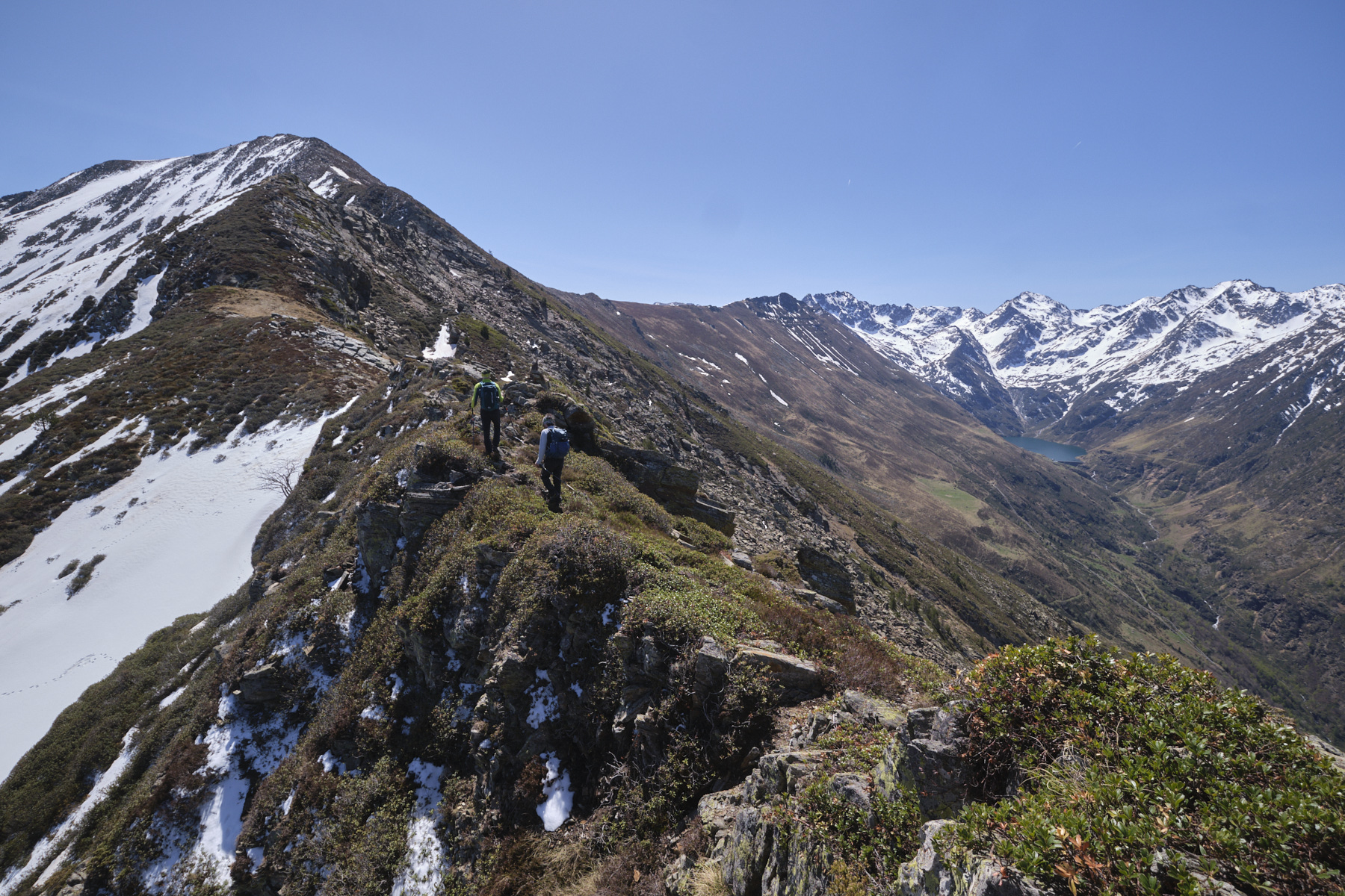
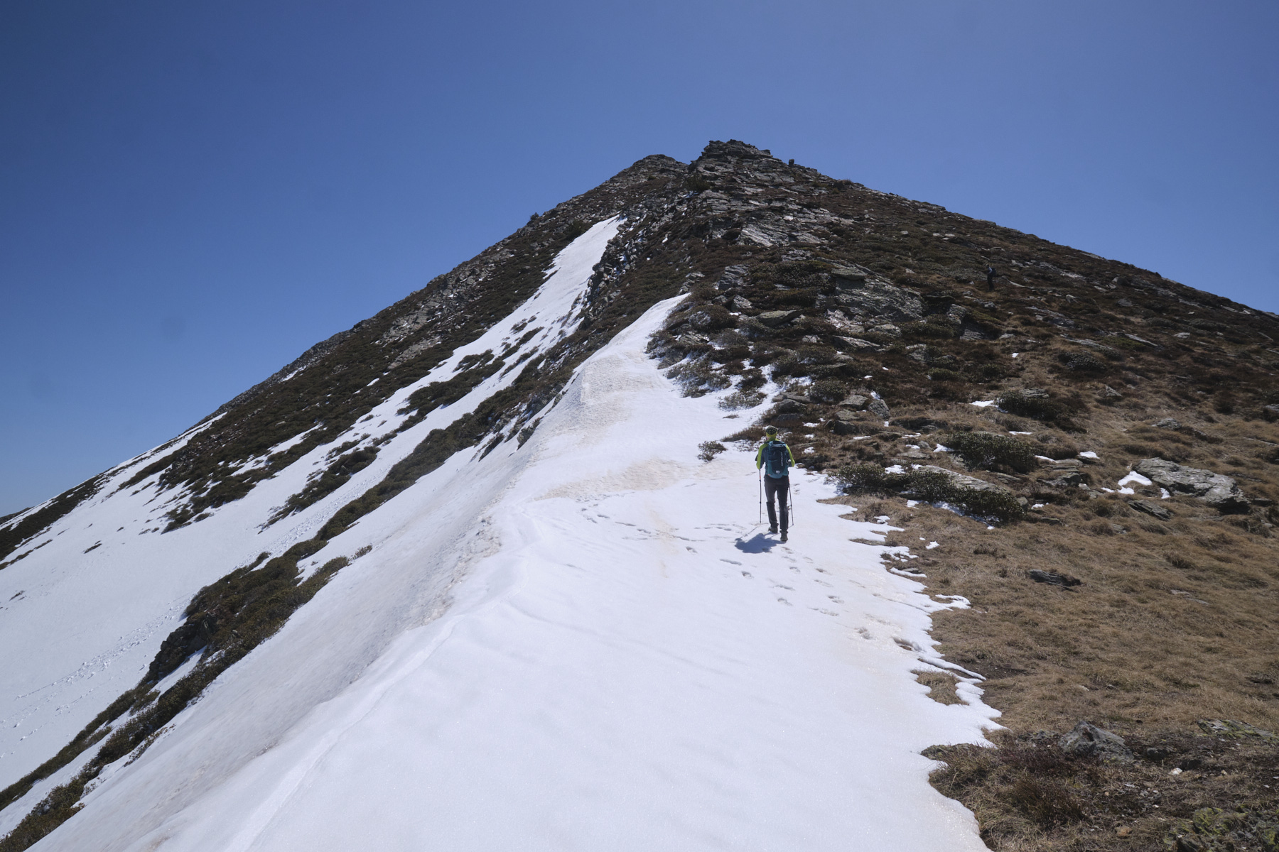
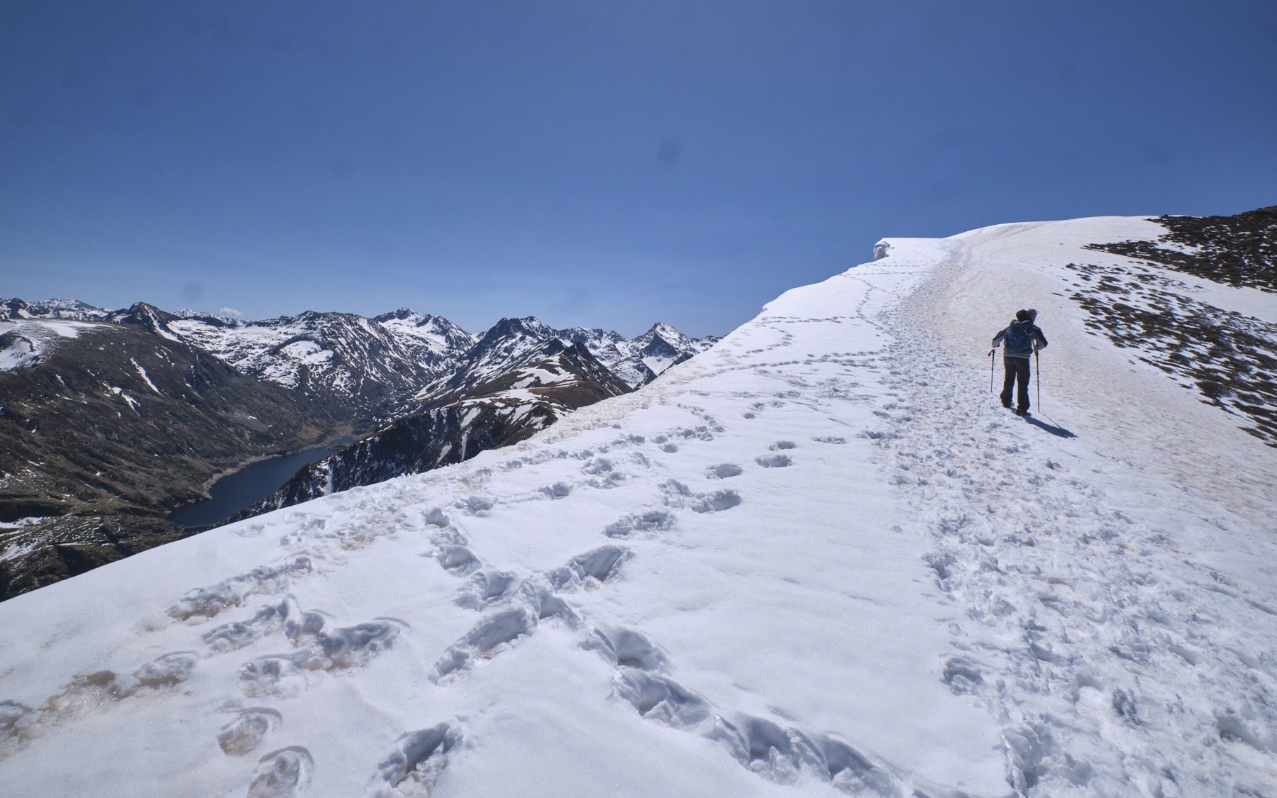
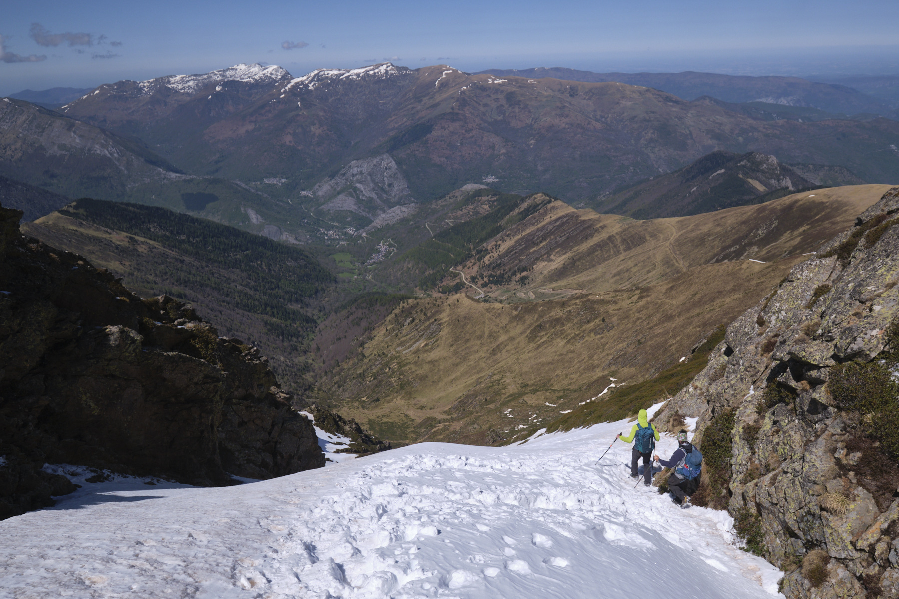
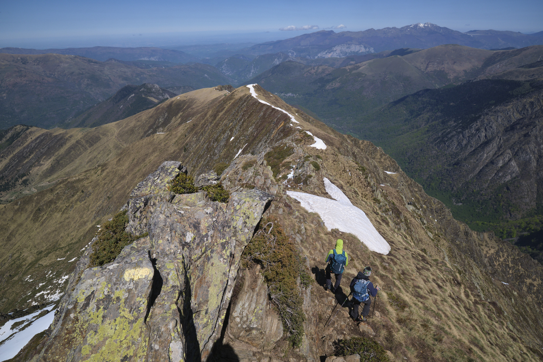
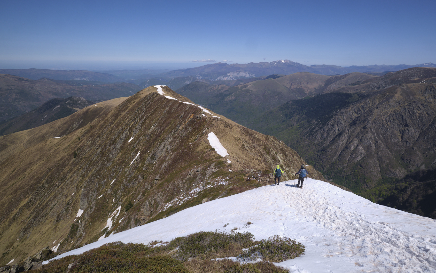
Part 3: Sarrasi ridge to Pic du Sarrasi and back to the resort (1h30)
Easier descent as marked trail. Descend to the Sarrasi ridge, with a few easy climbs in the first part. We pass at the top of the steep Créneau d'Endron couloir with a slightly exposed traverse on snow (!). Continue along the ridge, which gradually flattens out until you reach the Pic du Sarrasi. At this point, turn left to take the yellow path that runs straight down towards the resort on a ridge that splits the Goulier valley in two. At the bottom, leave the ridge and descend on the right, passing a small pool to join the track that winds between the ski lifts. Finish by cutting across the ski slope which goes straight back to the start parking lot (or follow the slope to reduce the slope in your quadriceps!).


 Partager sur WhatsApp
 Partager sur Twitter
Partager sur Instagram
Partager sur Twitter
Partager sur Instagram

 Partager sur Facebook
 Imprimer le topo
 Laisser un commentaire


Leave a Reply