

TOPO Hiking | CLIMBING7.COM
Publié le

Continuation of the Trans'Alpes: a very long 3rd stage with a fairly physical start over the Col des Mattes and a more rolling route to finish just over the Swiss border at the Chesery refuge, in front of the beautiful green lake (watch out for foxes raiding the tents at the bivouac!). Stage 4, a shorter and (relatively) restful stage, passes over the Avoriaz domain to finish on the spectacular ridges of the Pointe de Léchère facing the Dents Blanches and the Tête de Bostan. With the presence of a large névé below the steep finish of the Pas du Taureau scheduled for stage 5, we cut short stage 4 at the Col de Coux, not having crampons and ice axes with us. Escape to Samoëns. The rest of the Trans'Alpes in 2025, starting again from the Col de Coux!
❱❱ Technical summary
The data below corresponds to stages 3 and 4 of the Trans'Alpes.
► Departure point: Les Chalets de Chevenne, La Chapelle d'Abondance, Haute-Savoie (73)
► Type of route: high-mountain touring hike
► Distance to cover: 22 km (J3) / 9 km (J4)
► Cumulative elevation gain: +1475 m (D3) / +600 m (D4)
► Cumulative negative altitude gain: -715 m (D3) / -650 m (D4)
► Estimated total time: 8h to 9h (D3) / 3h to 4h (D4)
► Maximum altitude: 1996 m (D3) / 2250 m (D4)
► Signposting: alternating GR, GRP and PR trails
► Equipment in place: none
► Equipment required: GPS track may be useful
Difficulties: steep but short section below the Col des Mattes.
Jérome Bonneaux's topo guide, TransAlpes, Montrouch 2010 edition, is very useful for the detailed description of the stages and the extensive information on refuges or other contact numbers.
❱❱ Access to the place
Departure is from Chalets de Chevenne following stage 2 of the Trans'Alpes or from Chapelle d'Abondance on the road between Thonon-les-Bains and Montey (Switzerland).
❱❱ Map & topo
Move the mouse over the orange circles to see the legend for the crossing points (pass, summit, springs, etc.).
❱❱ Itinéraire
For a more detailed description, please refer to Jérôme Bonneaux's TransAlpes topo guide.
STAGE 3: Chalets de Chevenne to refuge de Chésery (Switzerland)
Descend easily to Chapelle d'Abondance, then skirt the Dranse d'Abondance before climbing steeply and steadily southwards through the valley of the Ruisseau des Mattes to reach the Trebentaz refuge. From here, cross the Col des Mattes in a short but steep section and switch to the other side. Lower down, you join the GR5, which you will follow for a long while on rolling terrain until you finally reach the Col de Bassachaux.
Continue on the GR5 to follow the track that climbs steadily into the resort of Avoriaz. Pass the Col de Chésery, enter Switzerland and join the refuge de Chésery, near Lac Vert. Bivouacs are possible on the shores of the lake. Beware of foxes that prowl around at night and don't hesitate to rip open tent roofs and sacks to steal food!
STAGE 2: Chésery refuge to Col de Coux
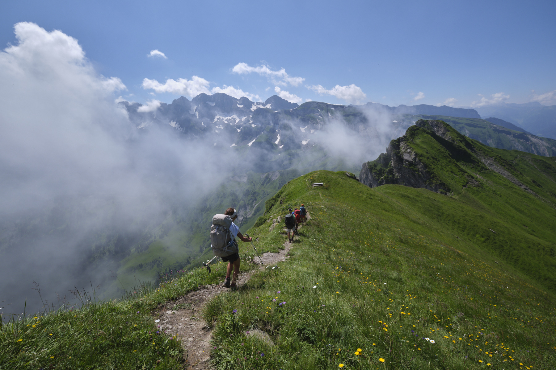
Return to the Col de Chésery and this time descend southwards into the resort, then climb back up to reach the ridges at Pas and then the Col du Cuboré. Follow the panoramic trail around the top of the resort, with splendid views to the south of the Dents Blanches. Once you've reached the Col de Fornet, cross the grassy slopes and descend the short, airy ridge path leading to the Pointe de la Léchère. En route, you'll find a wooden table ideally placed for admiring the landscape and the paragliders flying overhead.
To finish, we head down to the Col de Coux, which again crosses the GR5 from Switzerland. End of the stage for us because of the snow at the Pas du Taureau. More in 2025!
Leave a Reply