This is where the GR20 Sud starts, and the option of following the ridges from the Col de Vizzavona to the Col de Verde via Monte Renoso offers an airy, interesting route that is, above all, out of the flow of hikers. A long and demanding stage, it is followed by the route to the Usciolu refuge, this time on the official trail, for another solid day of ridge climbing, with the heat of the South beginning to make itself felt. We're also beginning to dominate the east coast, and if the weather's clear, we're walking with the sea in our sights. These are 2 big stages in terms of distance, altitude difference and walking time. Fortunately, the private refuge at the Col de Verde is very pleasant, and the food is good.
❱❱ Technical summary
■ Departure point: Vizzanova pass, Corsica
■ Type of route: high-mountain touring hike
■ Distance: 33.4 km
■ Cumulative elevation gain: +2445 m
■ Cumulative negative altitude gain: -1860 m
■ Estimated total time: 15h30 over 2 days ■ Min and max altitude: m / 2352 m
■ Marking: 1st part of stage 9 on a path with little or no marking, but quite visible and mostly marked with cairns. Stage 10 on the official GR.
■ Equipment in place: none
■ Equipment required: useful GPS track (stage 9)
Difficulties: on the variant of stage 9, there are a number of climbing passages, with fairly exposed sections (III+ max).
❱❱ Access to the place
Departure is from the Col de Vizzavona, which can be reached via the T20 road between Corte and Ajaccio.
Having slept in Vizzavona Gare at the Alzaretta refuge-camping, it's time to take the road up to the Col de Vizzavona, a few kilometers of asphalt that can be covered by hitchhiking. The crest trail, not part of the GR20 or official variants, starts here, in the direction of Punta dell'Oriente.
Course
Step 9
Col de Vizzavona to Col de Verde via Punta Dell'Oriente and Monte Renoso (17.8 km, 1235 m d+, 1110 m d- alt max 2352 m, 8 hours 30)
The itinerary of stage 9 is an unofficial variant which allows you to follow the ridges to Monte Renoso, enjoying magnificent panoramic views and "doubling up" on 2 stages of the GR20, leaving the Campanelle refuge in the valley.
Monte Renoso (2352m, 5 hours)
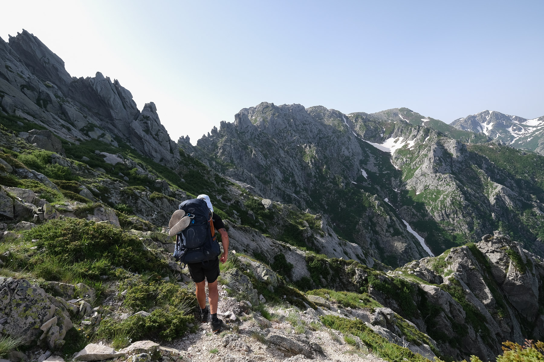
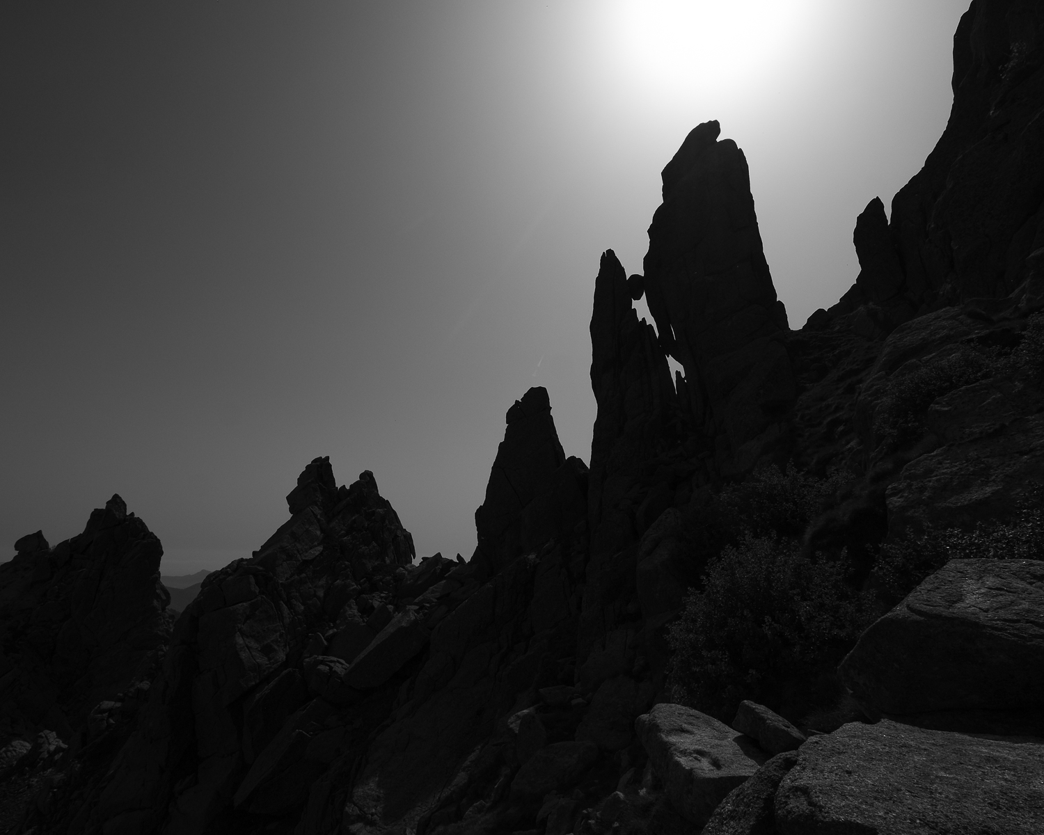
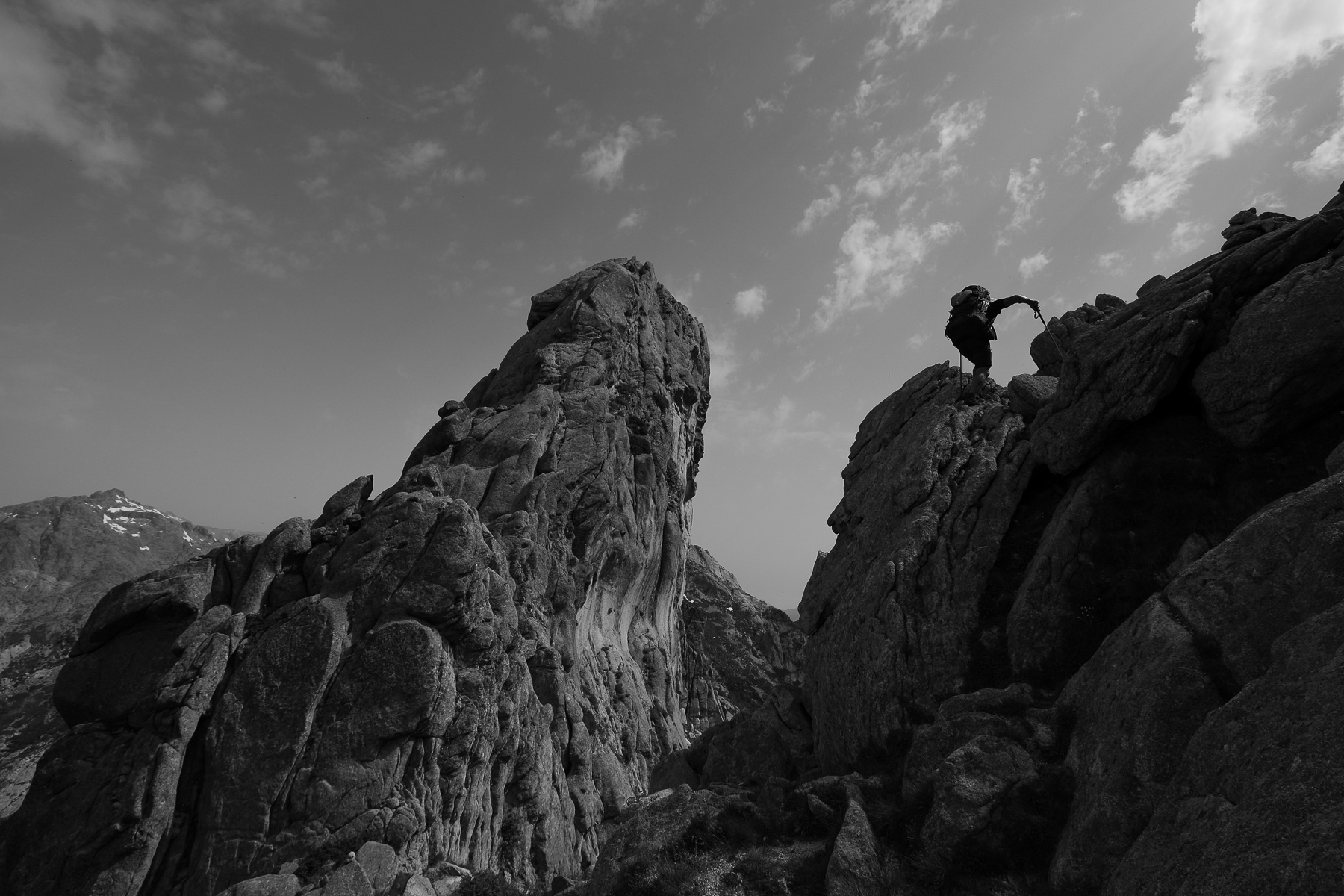
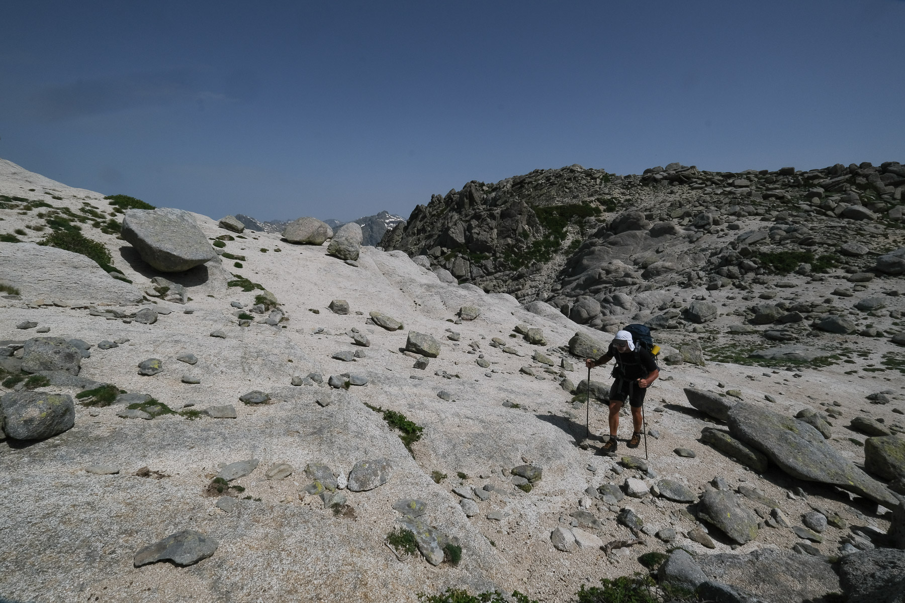
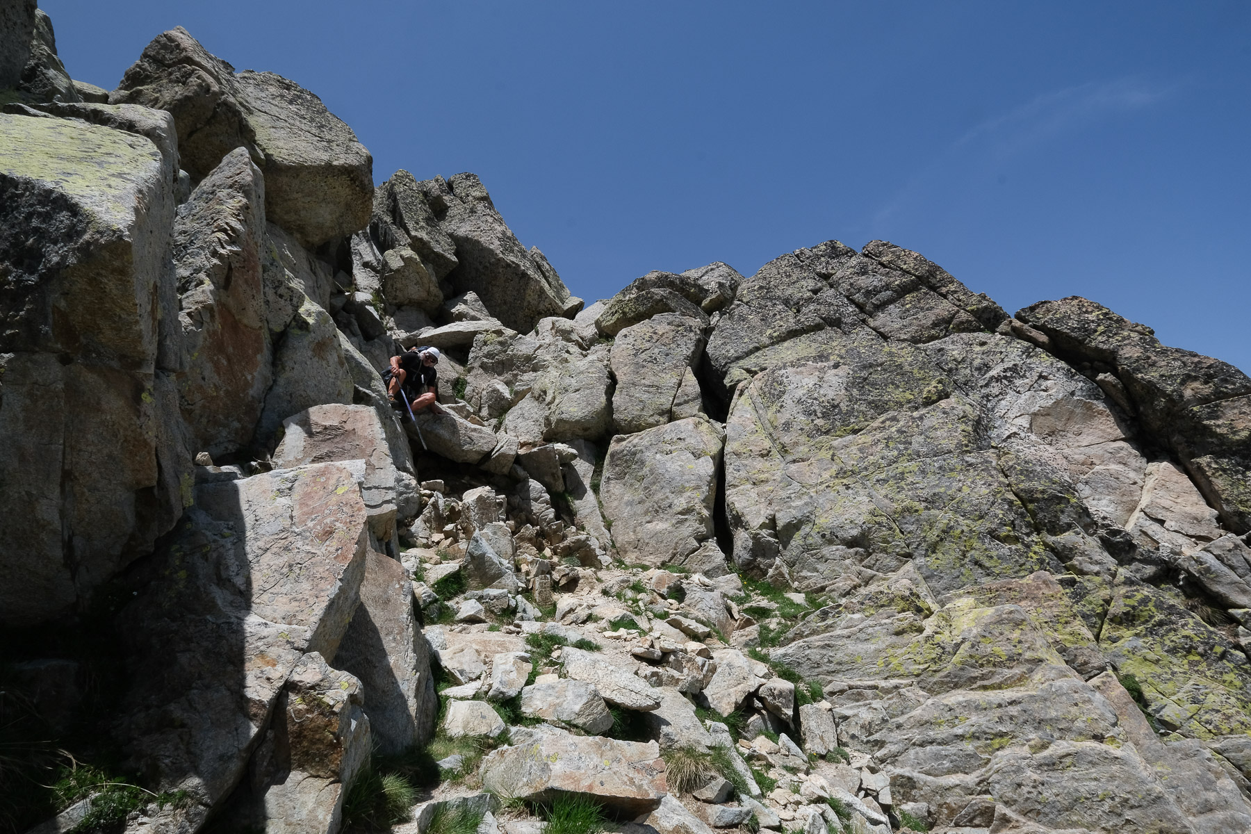
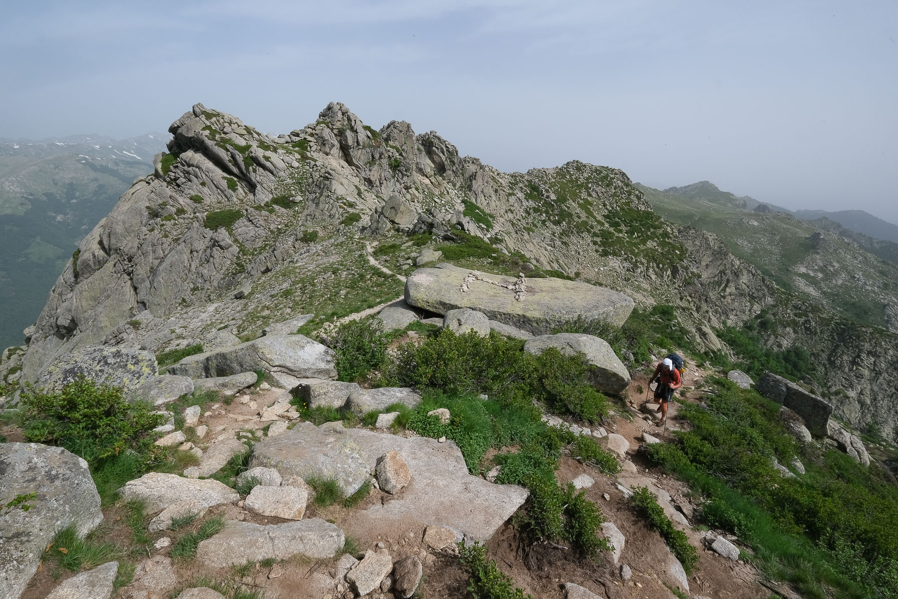
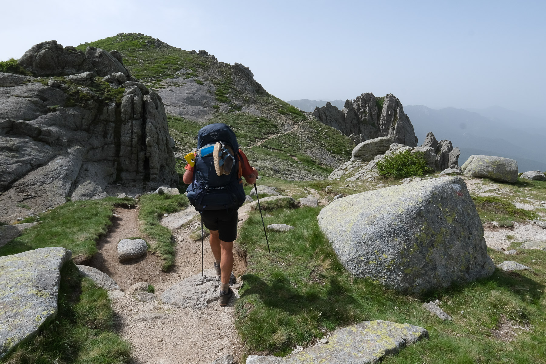
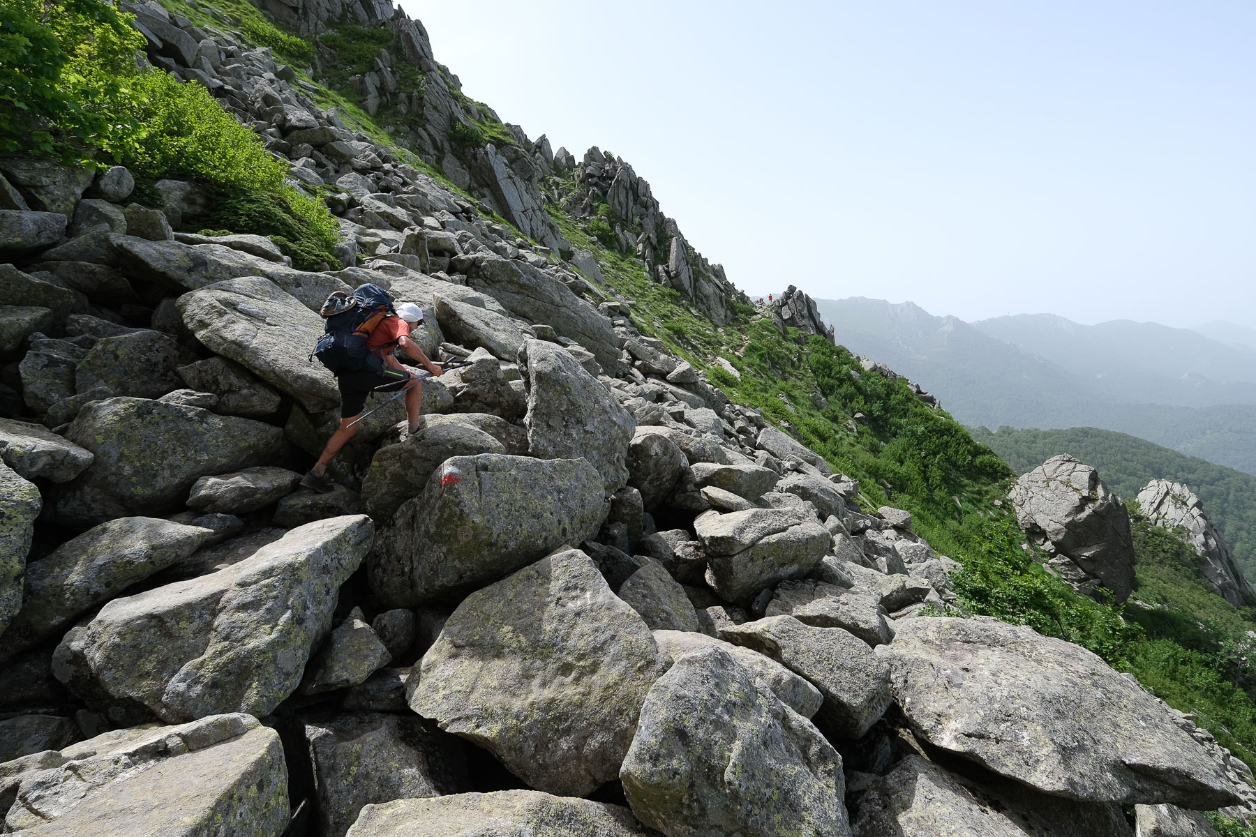
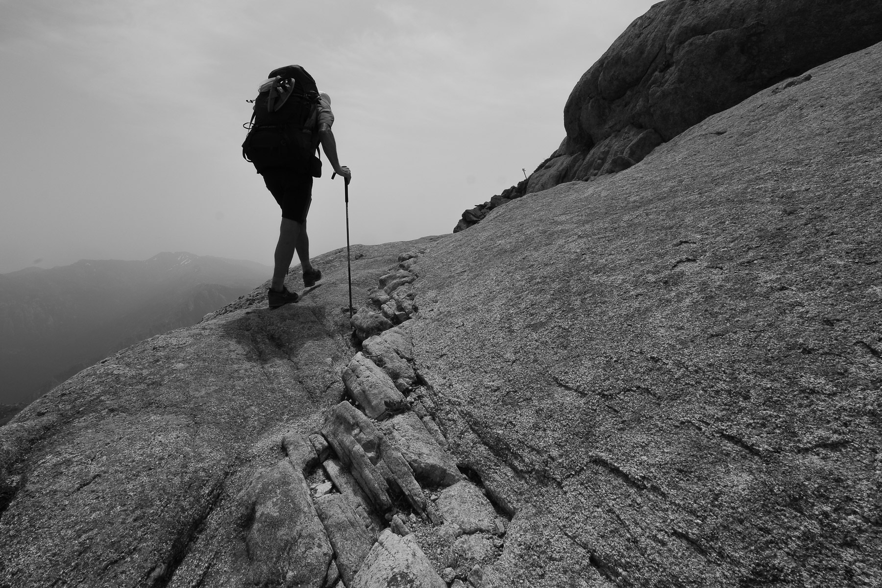
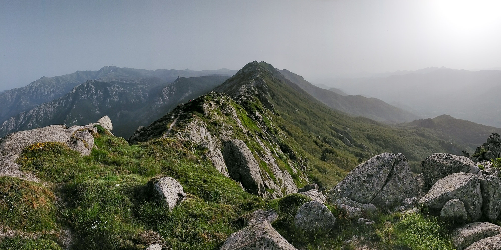
From the pass, follow the small road due south. You'll soon find the start of the yellow trail signposted Punta dell'Oriente. After a climb through the forest, you come to the Pozzi sheepfolds. It then climbs up to the ridges, with superb views over the valley and Monte Oro in the background. After about 1.5 hours, we pass a flat spot on the ridge with the Punta dell'Oriente visible, forming a sort of rocky mass at the summit. Another 30 minutes and the path crosses under the Punta dell'Oriente on its western side. Behind, it climbs back up to the ridge with a few climbing steps (III) and the rest is very uneven: a series of rocky ridges and needles through which we'll thread our way. Here you'll find orange or red markers. Further on, we keep to the west-facing slope, and at a new gap in the ridge, we begin an aerial climb (III+) to the Pinzi Corbini, our first summit. 360° views of Paglia Orba to the north and Monte Renoso at the far end to the south.
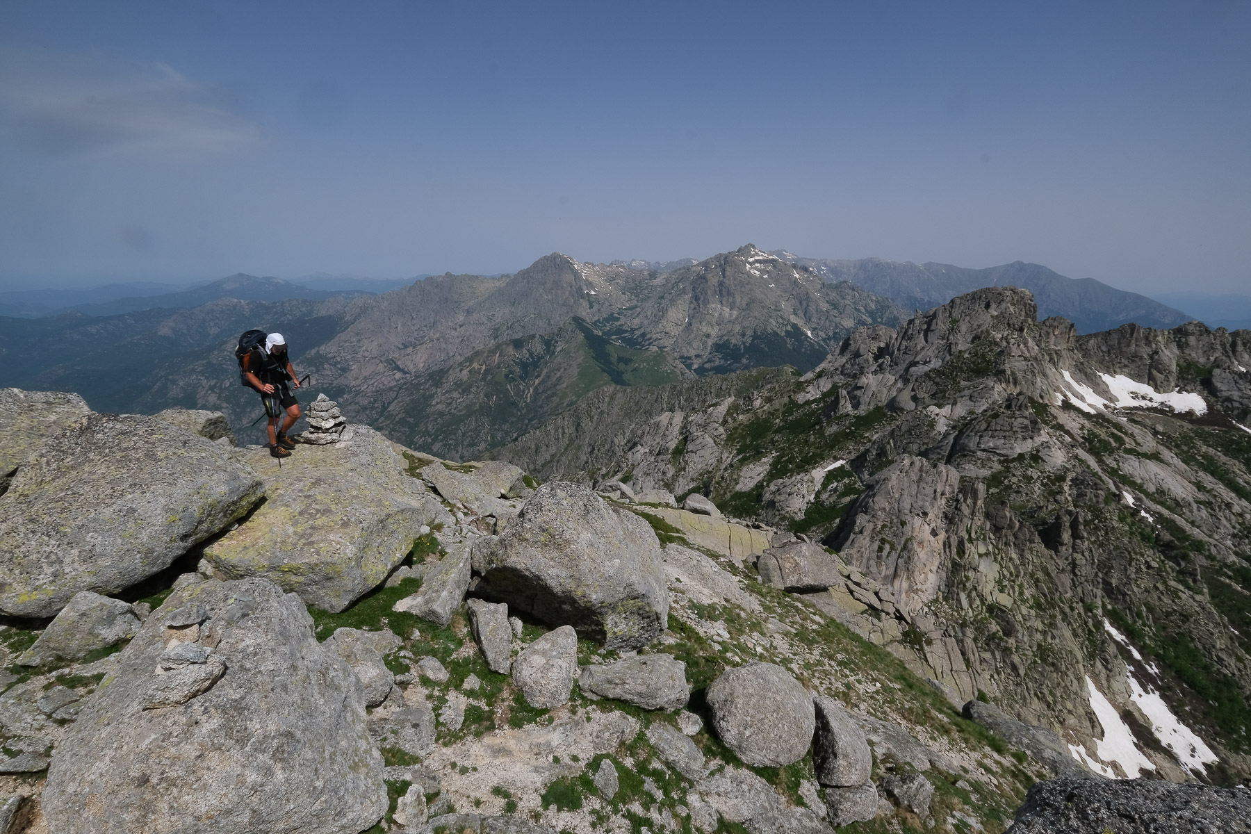
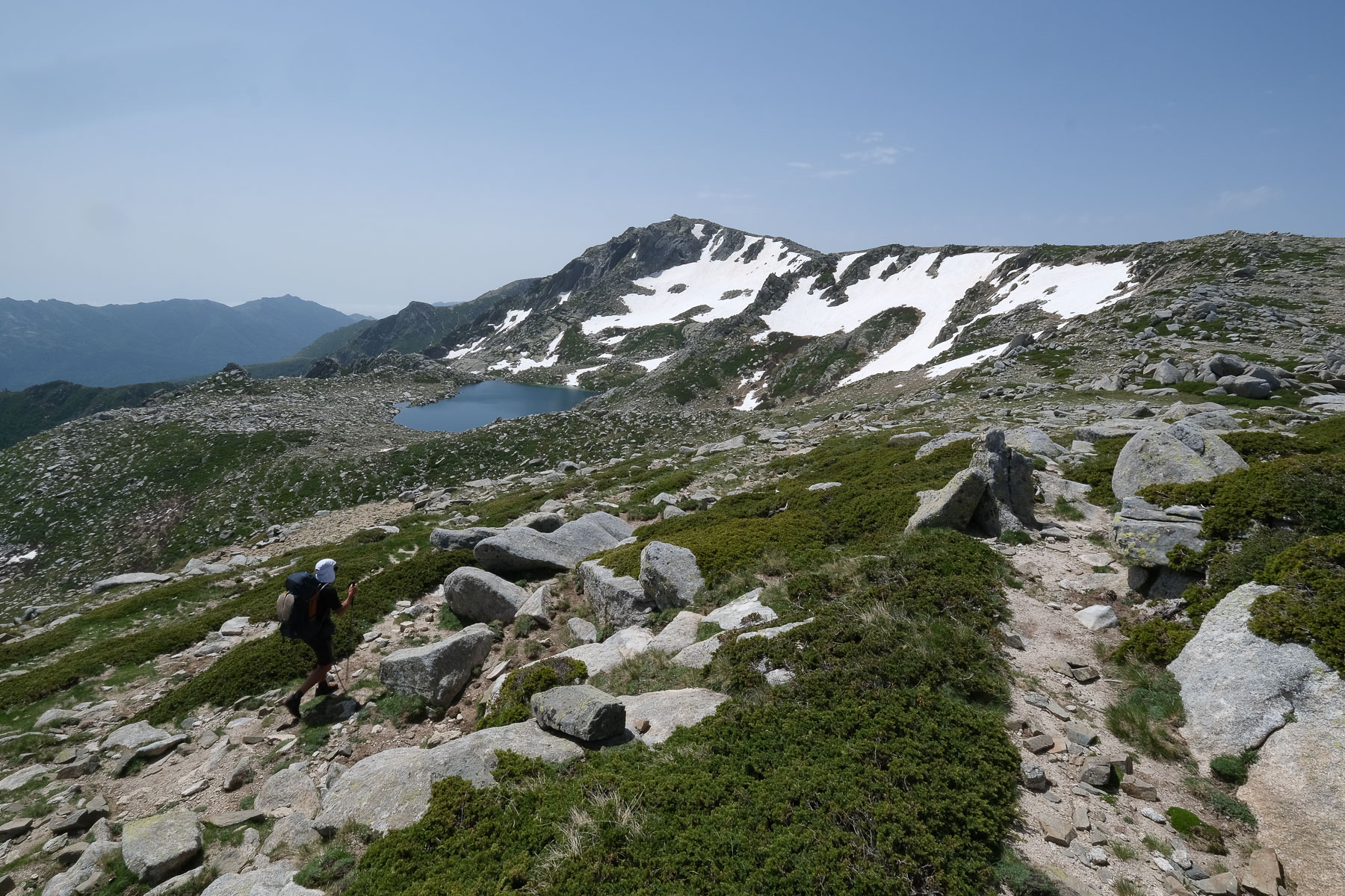
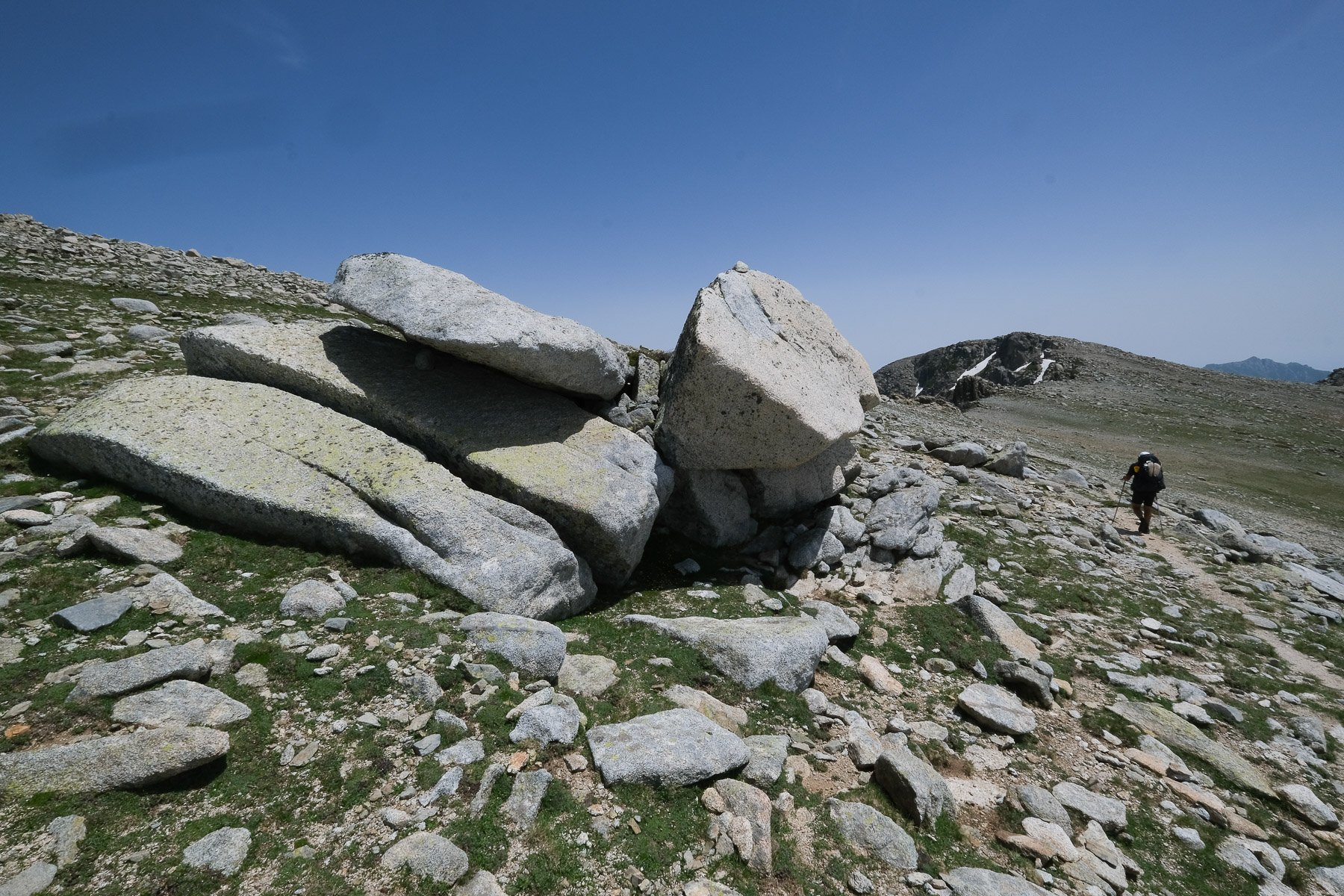
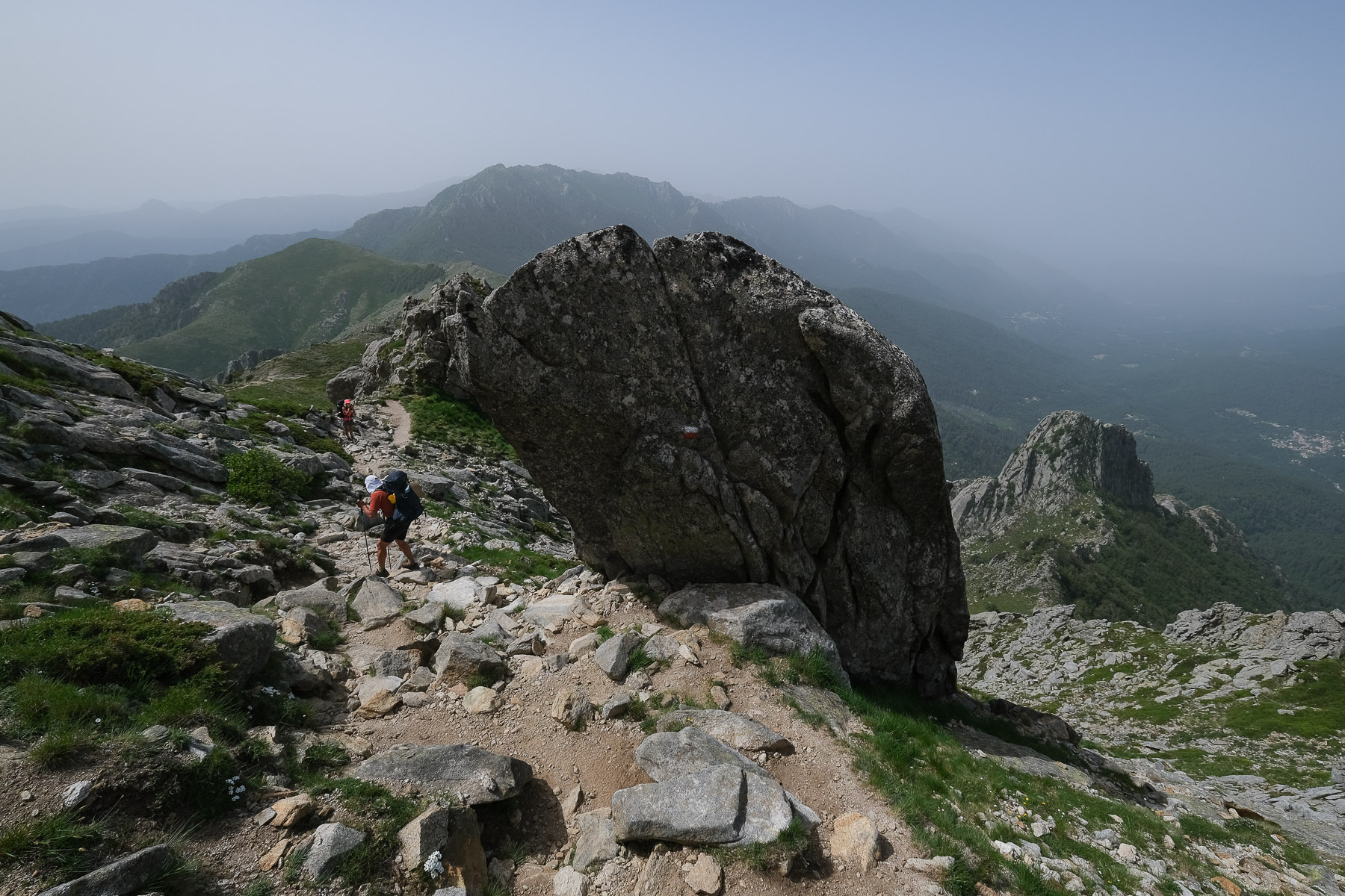
The rest of the climb is more rolling on the same ridge, but much wider and more open. We pass the Campanelle refuge, which can be seen at the bottom left. The large granite boulders and folded rock formations make you feel like you're on the moon (see presentation photo). The trail continues southwards without too much change in altitude. At the end, you come to Lake Bastani, climb up a little to pass Punta Bacinello, and then onto the final plateau, which leads gently down to Monte Renoso, where a carved Moor's head is enthroned. 5h from the Col de Vizzavona.
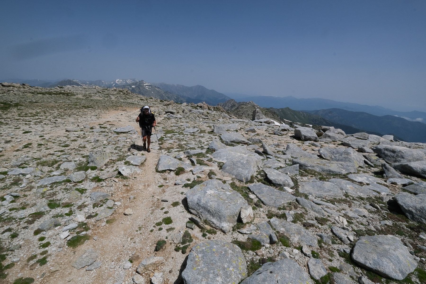
Col de Verde (3h30)
From the summit, head south along the ridge. After a few bumps and small rocky ridges, you come out onto a wide, flat grassy dome that gradually descends. Keeping to the left, you pass the Col de Pruno, but it looks as though you could go straight down to the Bergeries des Pozzi (which we missed). The Rina Soprano lake can be seen to the north before you reach the Col de Pruno. From here, head due south and the trail turns west before returning to the Bergeries below. From Les Bergeries, follow the signs for Val d'Ese. It descends along a torrent, and at the fork below, turn left towards the Col de Verde. The final descent before crossing the GR20 is quite strenuous, as it takes you through a forest with a lot of stones scattered around. Don't stray far from the torrent, and at a bridge below, take the main GR path again for a 45' to 1h walk slightly uphill, then gently downhill through the forest to the Col de Verde refuge.
Stage 10
Col de Verde to Usciolu refuge (15.6 km, 1210 m d+, 750 m d-, alt max 1980 m, 7 hours)
Refuge de Prati and Col de Laparo (4h)
From the refuge, cross the road and climb towards the Prati refuge. Ascent through forest, followed by a second ascent over open ground in a combe to reach the Bocca d'Oru, 1840m in around 1h30. 1st view of the east coast. 15' flat on the ridge to the Prati refuge at 1815m.
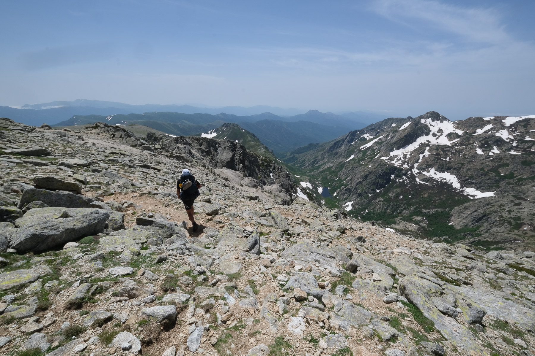
Continuing on the ridge, we pass a small summit and then cross over large slabs on the east side to climb back onto the ridge further on. It then descends following the ridge, which bends slightly to the right to cross a gap further on. Behind, it descends, again following a series of ridges, passing underneath to finally descend to the Bocca di Laparo at 1525m.
Punta Formicula and Refuge d'Usciolu (3h)
On the other side of the pass, the trail heads off into the forest, passing a spring that unfortunately dried up as we passed, and tackles 2 steep sections of winding ascent to leave the forest and emerge on the ridge at Punta Mozza (1831m). Another short aerial ascent takes you up to an upper plateau at Punta Blanca (1954m). Cross the flat, continue level and climb slightly further to the east, skirting the elongated rocky head of Punta Formicula. There's still a little way to go before switching at the last moment to the Usciolu refuge below the ridge.


 Partager sur WhatsApp
 Partager sur Twitter
Partager sur Instagram
Partager sur Twitter
Partager sur Instagram

 Partager sur Facebook
 Imprimer le topo
 Laisser un commentaire


Leave a Reply