


TOPO Hiking | CLIMBING7.COM
Publié le
 Partager sur WhatsApp
 Partager sur Twitter
Partager sur Instagram
Partager sur Twitter
Partager sur Instagram

 Partager sur Facebook
 Imprimer le topo
 Laisser un commentaire

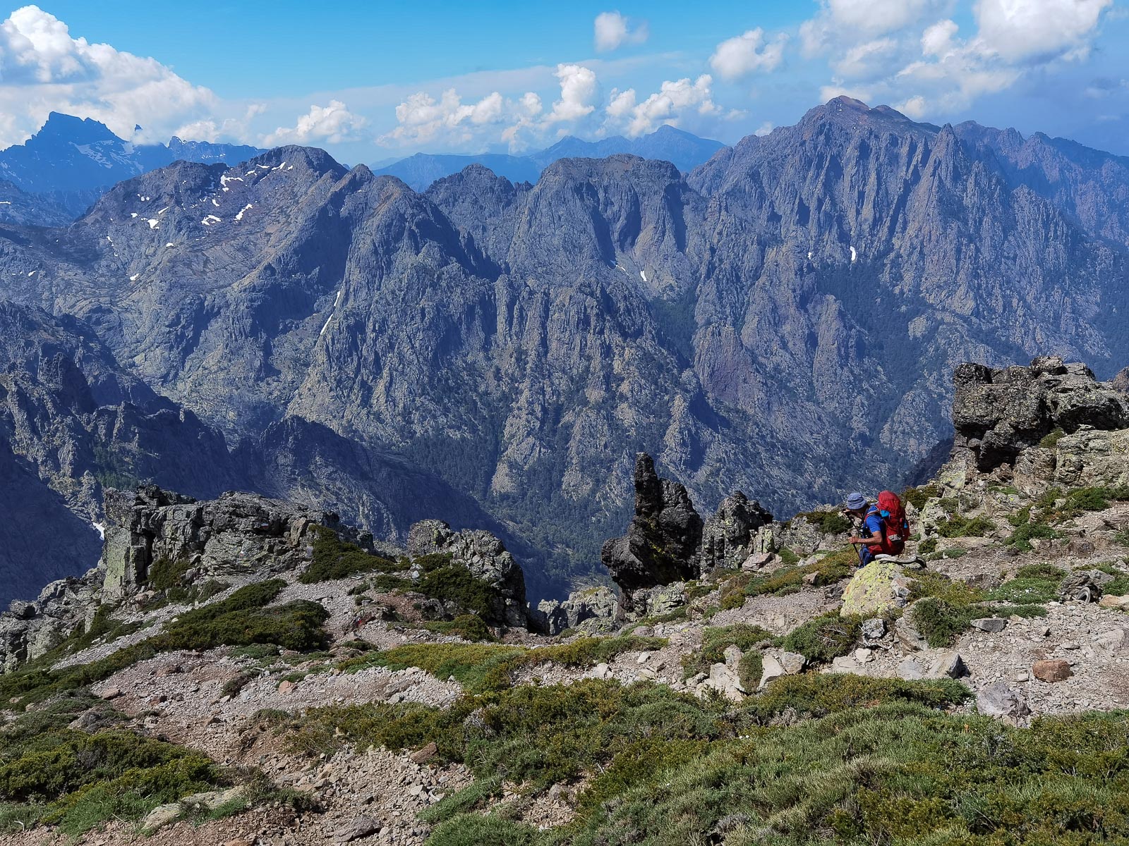
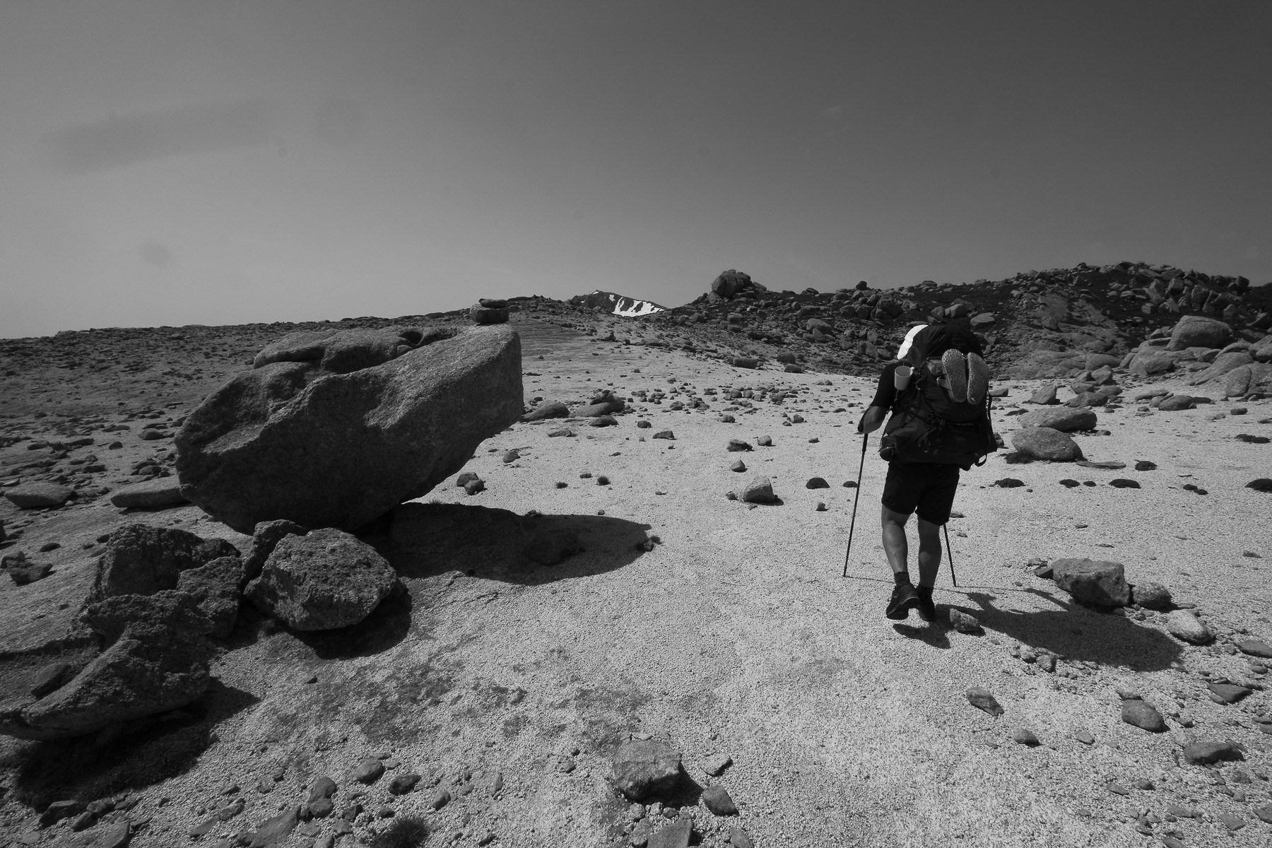
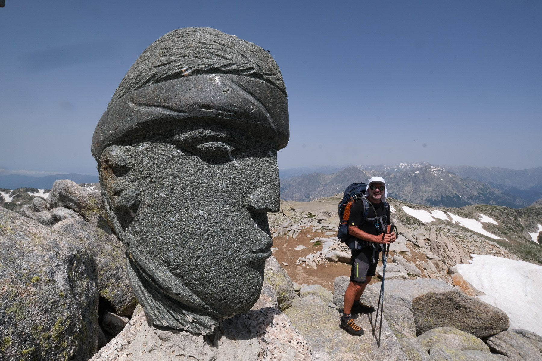
A classic among classics, the GR20 offers an exceptional itinerary for crossing Corsica from north to south, or vice versa, between sea and high mountains. With more than 160 kilometers of trails and over 12,000 meters of ascent, often between 1,500 and 2,500 meters above sea level, this is a challenging route for experienced hikers. But the GR20 is paying the price for its success, and for a little escape, we offer an alternative itinerary with numerous official and unofficial variants, and the ascent of some interesting peaks: Cirque de la Solitude, Paglia Orba and Capo Tafunatu, Monte d'Oro, Monte Renoso, Monte Incudine. This topo presents the GR20 as we did it in general terms, all the stages being described in more detail in the following posts.
❱❱ Technical summary
The technical data corresponds to the itinerary we have chosen, with its variants and the ascent of several Corsican peaks.
Type ✦ Alpine touring hike
Location ✦ Calenzana to Conca
Region ✦ Corsica
Country ✦ France
Period ✦ June 10 to 22, 2021
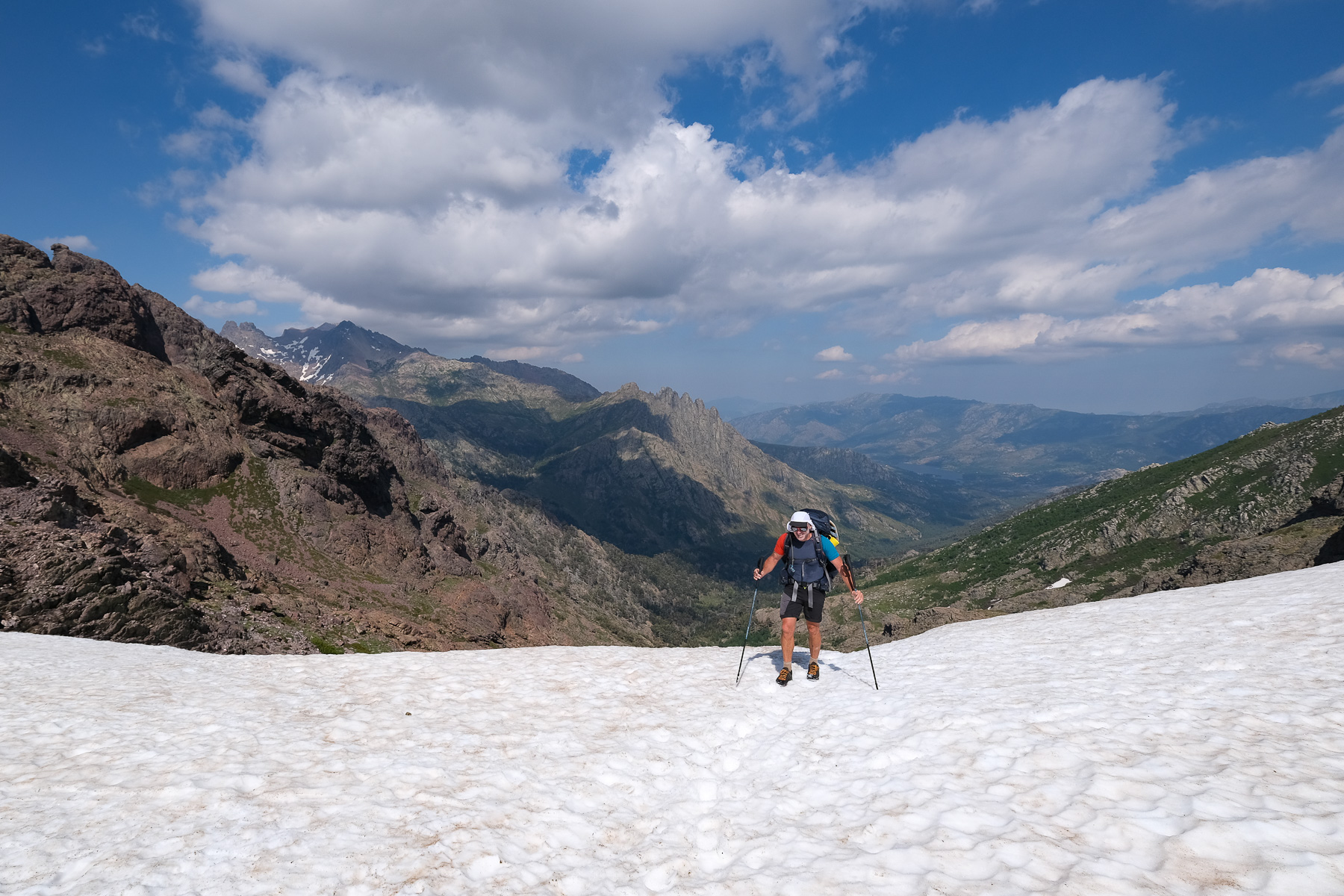
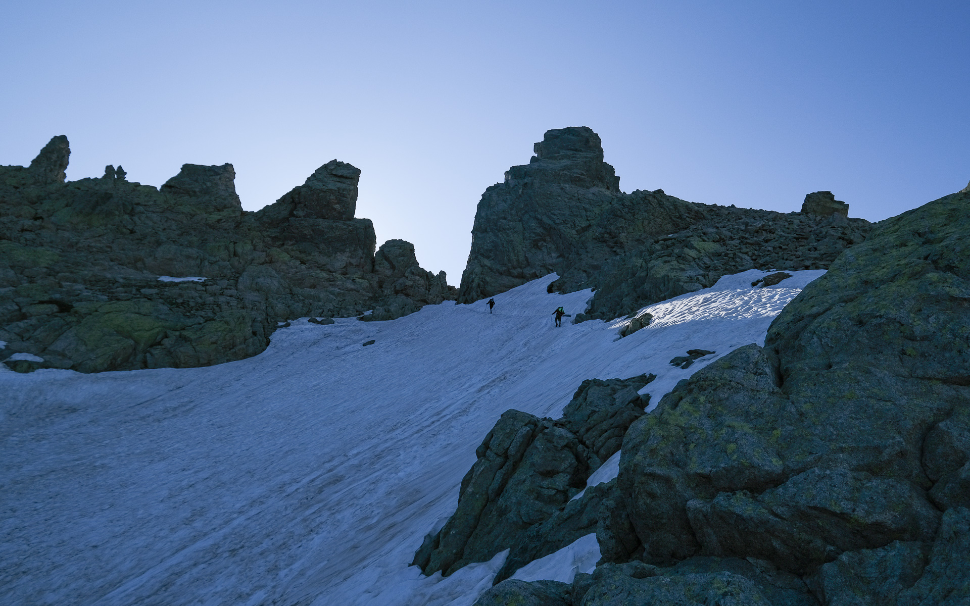
Snow cover ✦ névés in the north, stages 3, 4 and 7
Max altitude ✦ 2525m
Total distance ✦ 164.6 km
Total positive vertical drop ✦ 12,110 m
Difficulty ✦ E5 / T4 / R5
Equipment ✦ crampons, 20m safety rope
Duration ✦ 78 hours of hiking in 13 days
Interest ✦ ★★★
❱❱ Access to the place
If you decide to do the GR20 north-south, you'll need to get to Calenzana, 14 km south of Calvi. Arriving by ferry at Île Rousse, we took a small train to Calvi and from there a cab that dropped us off at Calenzana (€40 in 2021). From the south, the departure village is Conca, some 30 km north of Porto-Vecchio. Shuttles run daily from Porto-Vecchio to the start of the GR20.
❱❱ Map & topo
Northern stages are in blue and purple, southern stages in yellow and blue. The red road transition marks the halfway point between north and south. Orange dots indicate refuges and summits. Place the mouse over them to see the name displayed.
❱❱ Itinéraire
Arriving in Calenzana, head for the village center, where you'll soon find signs indicating the start of the GR20. Cross it and finally exit to the south on the red-and-white-marked path, the start of the 160-kilometre route!
The GR20 comprises 2 sections: the steeper, more alpine northern section from Calenzana to Vizzavona, and the gentler, more open southern section from Vizzavona to Conca. Here's a selection of the itineraries and stages we followed.
For each stage, you'll find :
■ distance in kilometers
■ positive and negative altitude differences in meters (d+ and d-)
■ the highest point of the stage (alt max)
■ our walking time without breaks
These data are indicative and may vary slightly due to certain off-trail or unmarked sections on the base maps.
Our aim was not to do the GR20 in a certain number of stages, but to choose the itineraries that seemed the most beautiful or interesting to cover, hence the choice of alpine variants, ridges or summits. Some of these choices led us to "double" official stages, often because the chosen itinerary was more direct, and therefore covered less distance but sometimes more altitude. We also avoided ending our days exhausted by too much walking, so that we could take in the sights, swim and admire the scenery each day.
GR20 North
Stage 1: Calenzana to refuge d'Ortu di u Piobbu (11.1 km, 1440 m d+, 135 m d-, alt max 1615 m, 5 hours)
Stage 2: Refuge d'Ortu di u Piobbu to refuge de Carrozu (7.4 km, 640 m d+, 910 m d-, alt max 2025 m, 5 hours)
Stage 3: Refuge de Carrozu to refuge d'Asco-Stagnu (4.9 km, 775 m d+, 620 m d-, alt max 1980 m, 4 hours)
Topo of stages 1, 2 and 3
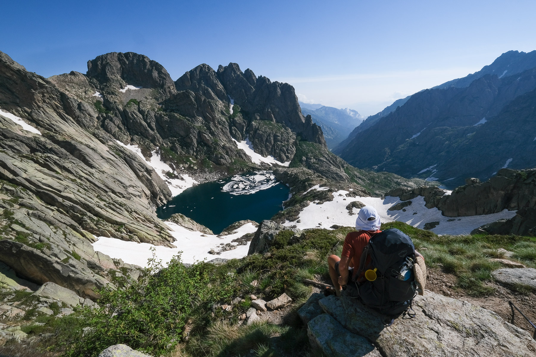
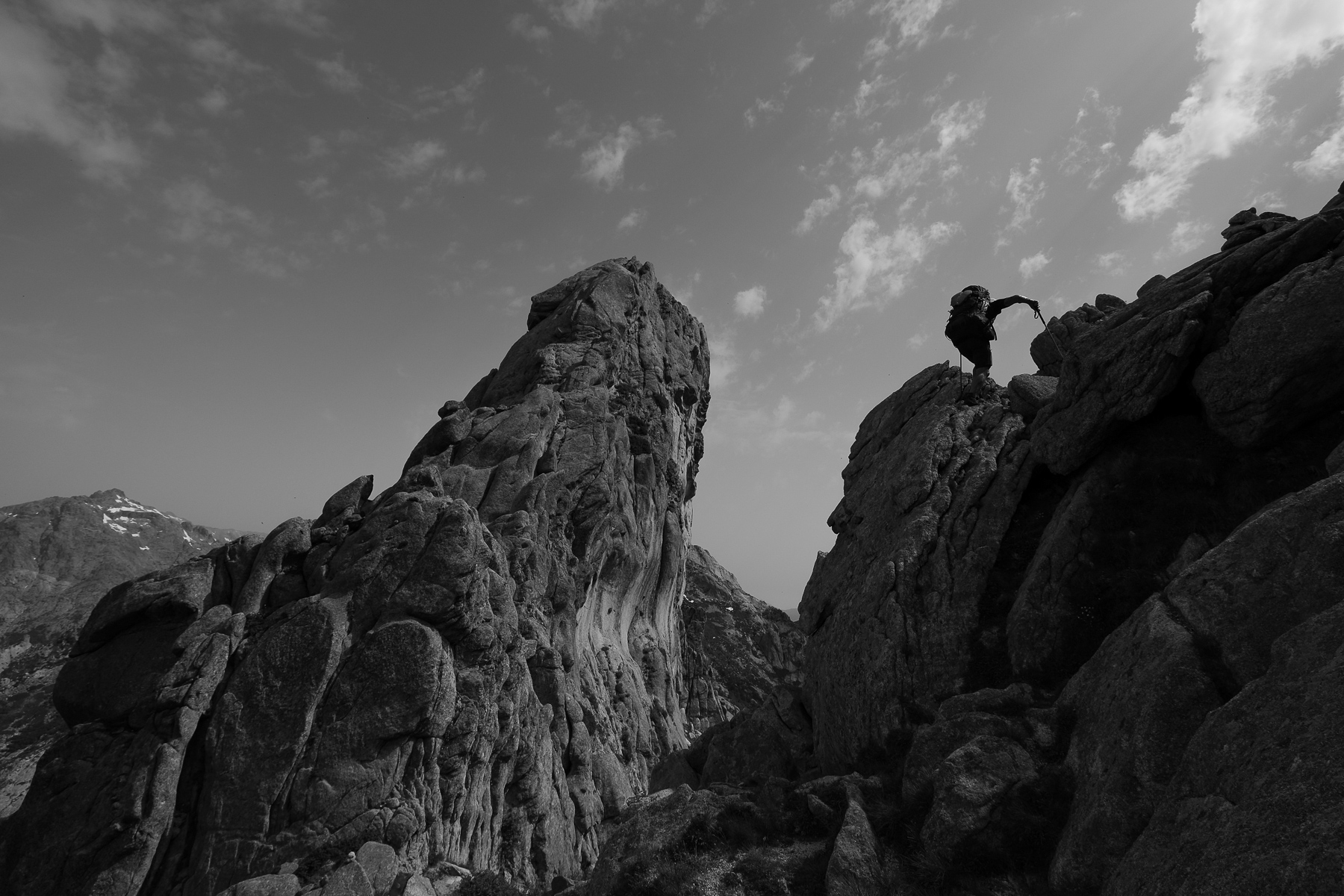
Stage 4: Refuge d'Asco-Stagnu to refuge de Ciuttulu di i Mori via Cirque de la Solitude (13 km, 1625 m d+, 1060 m d-, alt max 2205 m, 8 hours 30)
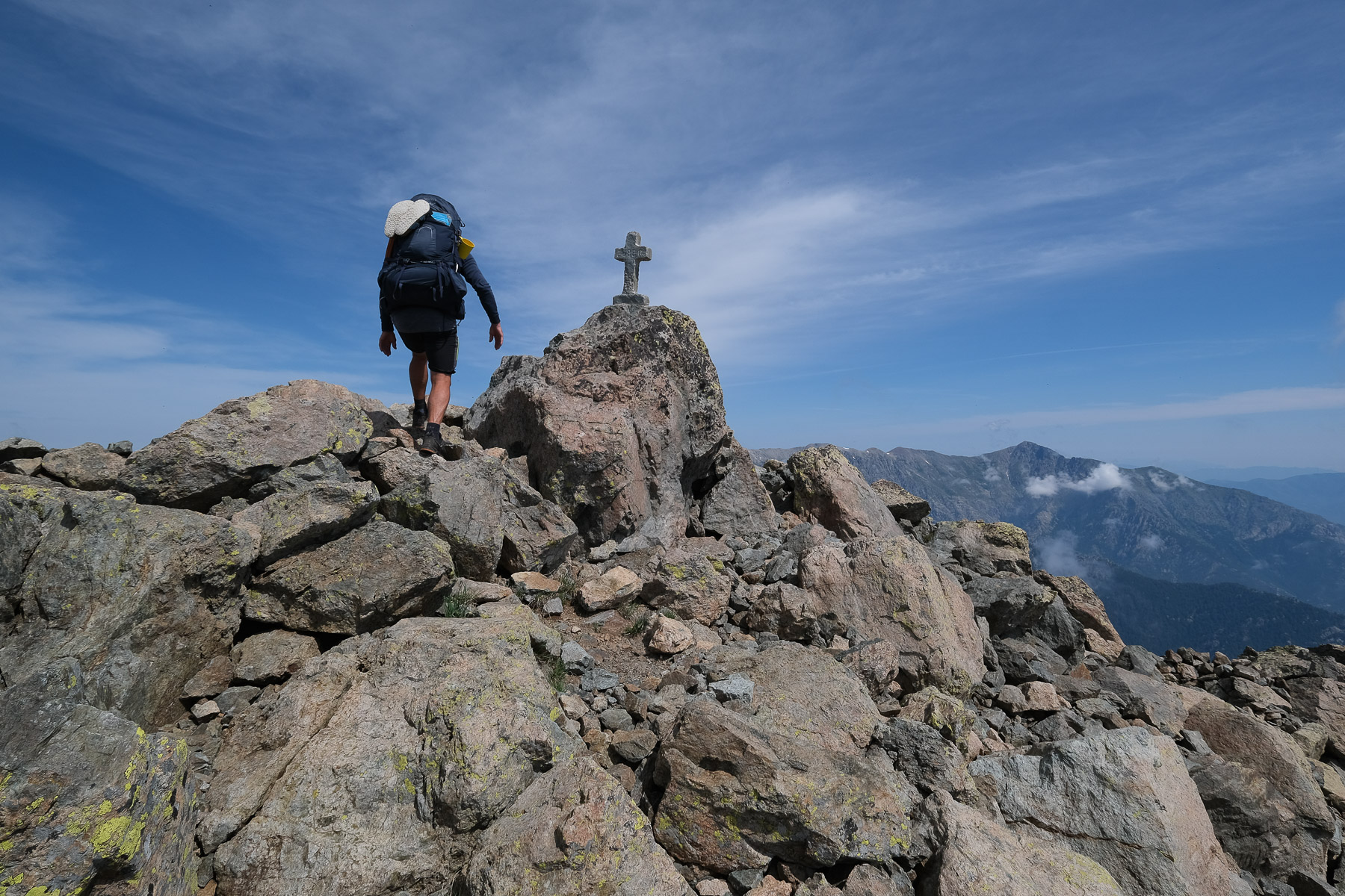
Stage 5: Ciuttulu di i Mori refuge to Castellu di Vergio via Paglia Orba and Capo Tafunatu (12 km, 700 m d+, 1290 m d-, alt max 2525m, 6 hours)
Topo of stages 4 and 5
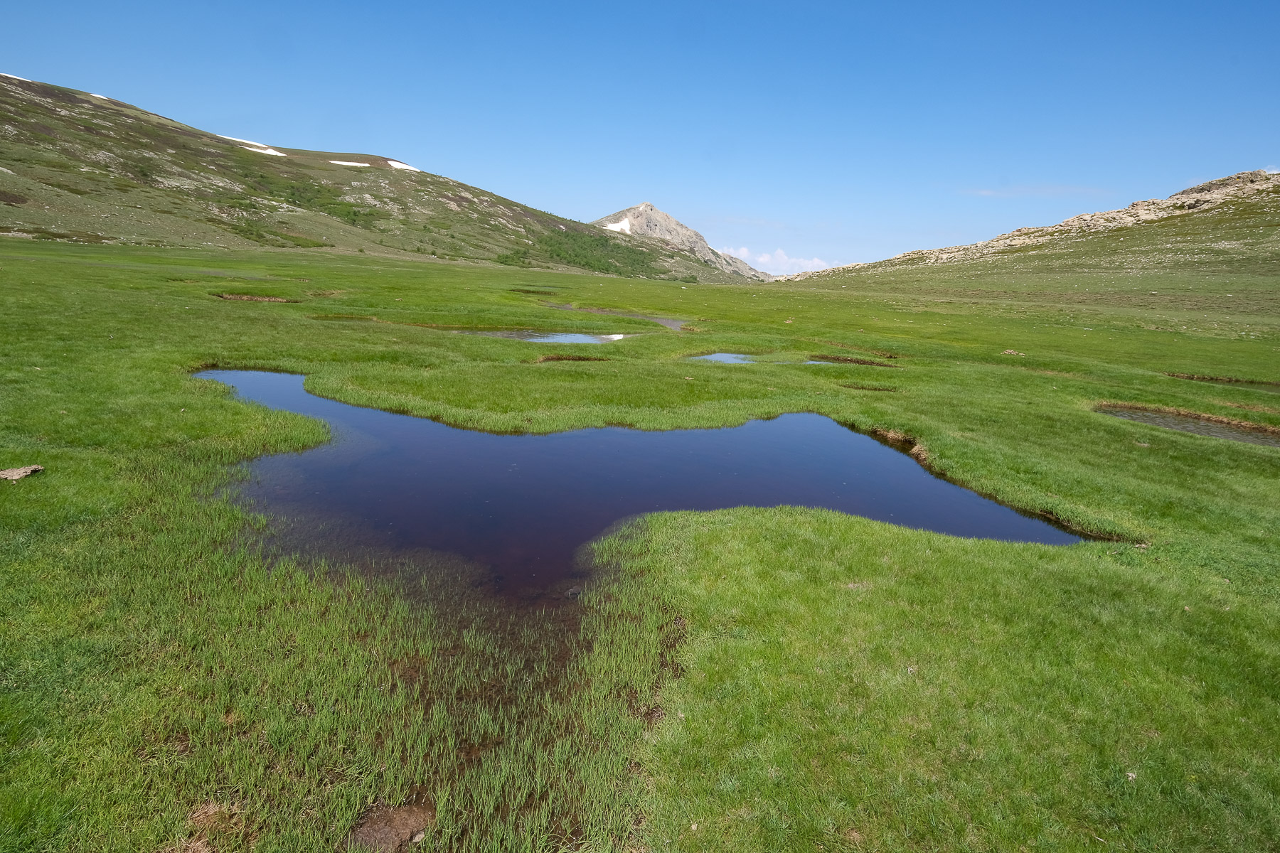
Stage 6: Castellu di Vergio to Manganu refuge (15.8 km, 610 m d+, 420 m d-, alt max 1870 m, 4 hours 30)
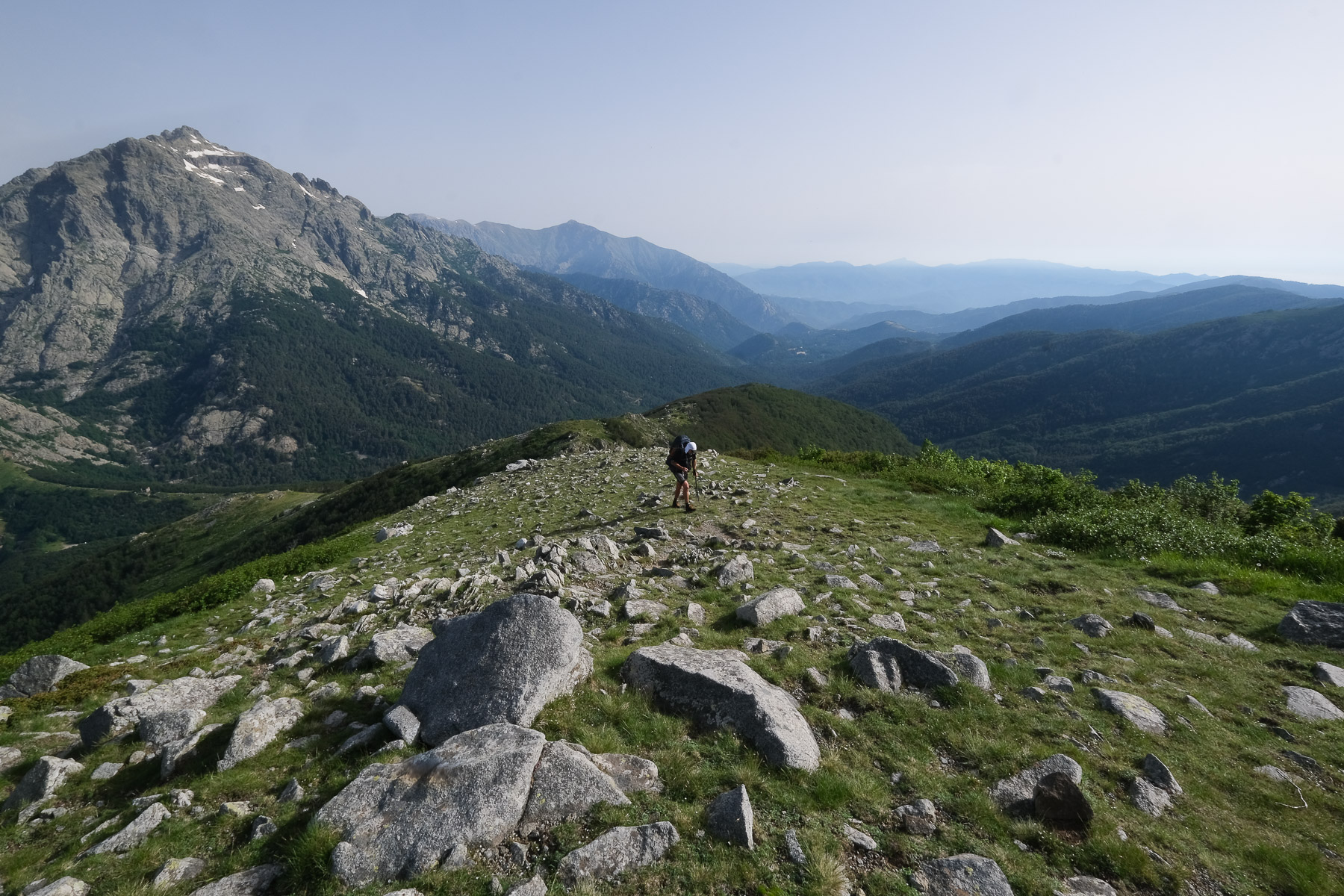
Stage 7: Refuge de Maganu to refuge de l'Onda via Pointe de Pinzi Corbini and Punta di l'Altore (14.7 km, 1135 m d+, 1325 m d-, alt max 2210 m, 7 hours)
Stage 8: Refuge de l'Onda to Vizzavona via Monte d'Oro (11 kms, 945 m d+, 1430 m d-, alt max 2389 m, 7 hours)
Topo of stages 6, 7 and 8
Total: 89.9 km, 7870 m d+, 7190 m d-, 47 hours
GR20 South
Stage 9: Vizzavona to Col de Verde via Punta Dell'Oriente and Monte Renoso (17.8 km, 1235 m d+, 1110 m d- alt max 2352 m, 8 hours 30)
Stage 10: Col de Verde to Usciolu hut (15.6 km, 1210 m d+, 750 m d-, alt max 1980 m, 7 hours)
Topo of stages 9 and 10
Stage 11: Refuge d'Usciulu to refuge d'Asinau via Monte Incudine (16.3 km, 870 m d+, 1080 m d-, alt max 2134 m, 6 hours)
Stage 12: Refuge d'Asinau to refuge d'i Paliri via the Bavella alpine variant (11.7 km, 600 m d+, 1090 m d-, alt max 1675 m, 5 hours)
Stage 13: Paliri hut to Conca (13.3 km, 325 m d+, 1130 m d-, alt max 1050 m, 3 hours 30)
Topo of stages 11, 12 and 13
Total: 74.7 km, 4240 m d+, 5160 m d-, 30 hours
Total GR20 and variants: 164.6 km, 12,110 m d+, 12,350 m d-, 77 hours
Once in Conca, go to the GR20 bar, from where shuttles leave for Port-Vecchio (€6.50 in 2021). In June, shuttles run on request, in July and August on a regular schedule. Information at the GR20 bar in Conca.
Official GR20 website with full descriptions of all classic stages, refuges, equipment, news, advice and even a forum.


![2017-08-05_13-35-40 [Monte Rotondo]](https://climbing7.com/wp-content/uploads/2017/09/2017-08-05_13-35-40-monte-rotondo-1024x683.jpg "Monte Rotondo, Melo and Capitello, Corte")


Leave a Reply