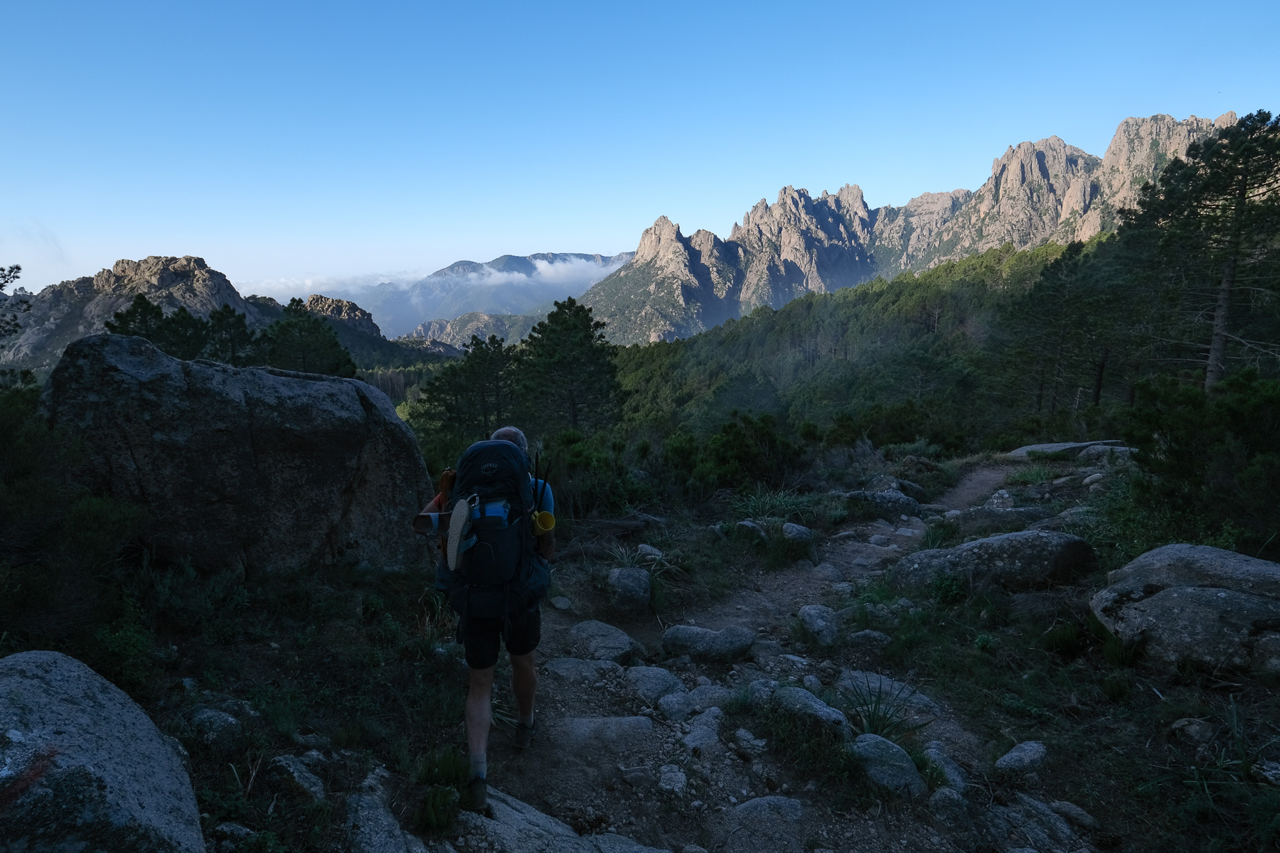
The last 3 stages of the GR20 still have plenty to offer: the ascent of Monte Incudine, the spectacular Aiguilles de Bavella and an incredible sunrise at the refuge d'i Paliri. 3 long days of walking, with more distance to cover but less ascent, and a gentle arrival in Conca, the adventure's final destination. Variants are once again in the spotlight, with the climb to Incudine via the old route from Bocca di Agnone and the alpine variant to the Aiguilles de Bavella, which may be very popular, but is well worth the detour for its fantastic views over the massif. After Bavella, the GR trail heads due south, without too much difficulty, with, if the weather is clear, beautiful views of the sea and Corsica's southern coast.
❱❱ Technical summary
The above data correspond to the 3 days of the last 3 stages.
■ Departure point: Refuge d'Usciolu in Conca, Corse-du-Sud
■ Type of route: itinerant high-mountain alpine hike
■ Distance: 41.3 km
■ Cumulative elevation gain: +1795 m
■ Cumulative negative altitude gain: -3300 m
■ Estimated total time: 14h30 over 3 days ■ Min and max altitude: 250 m / 2134 m
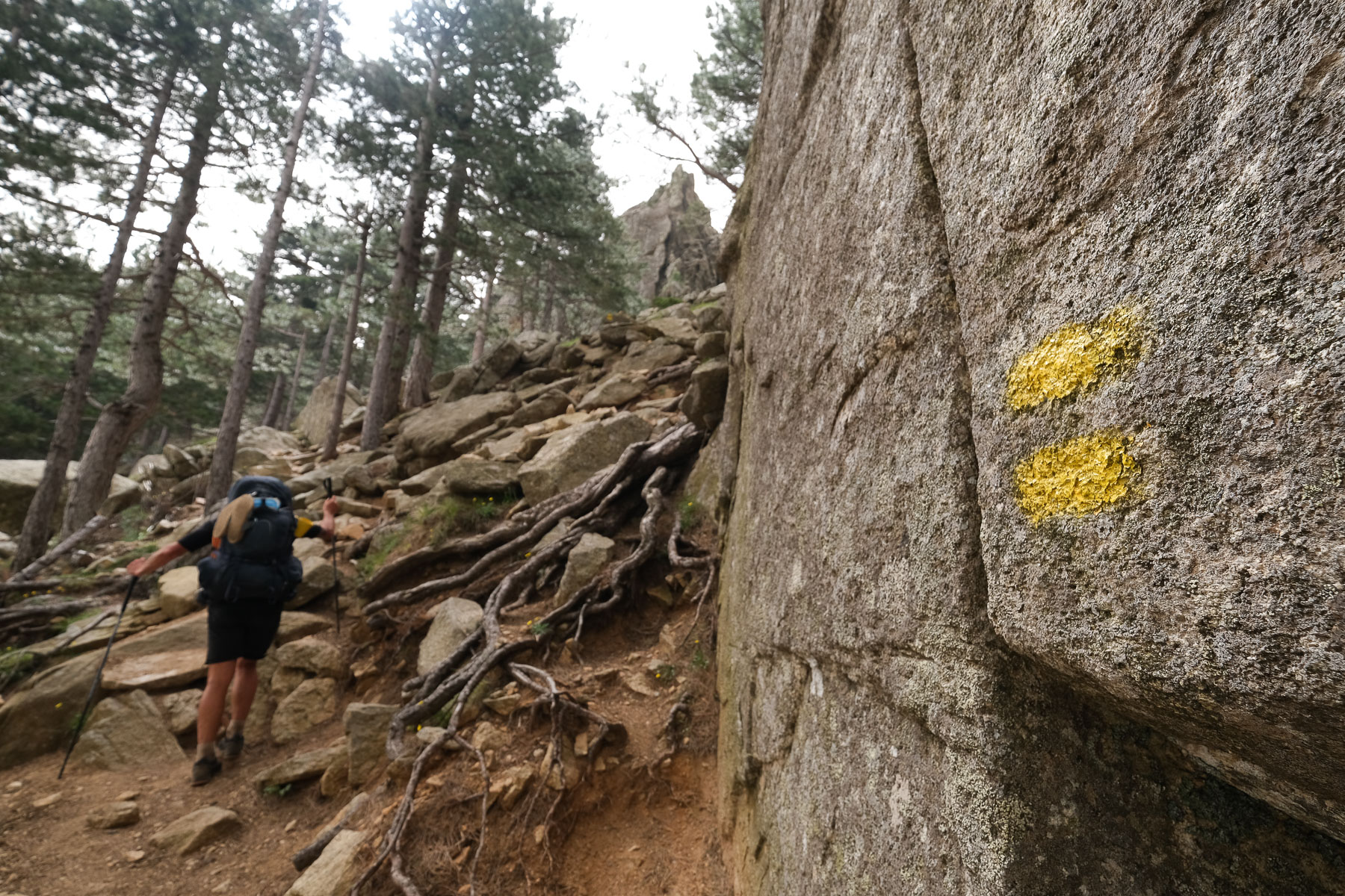
■ Markings: official GR, double yellow line variant
■ Equipment in place: a few equipped passages on the Bavella alpine variant
■ Equipment required: useful GPS track
Difficulties: mainly on the Bavella alpine variant, with sections to be climbed or unclimbed, in places with fixed equipment.
❱❱ Access to the place
Departure is from the Usciolu refuge, inaccessible by road.
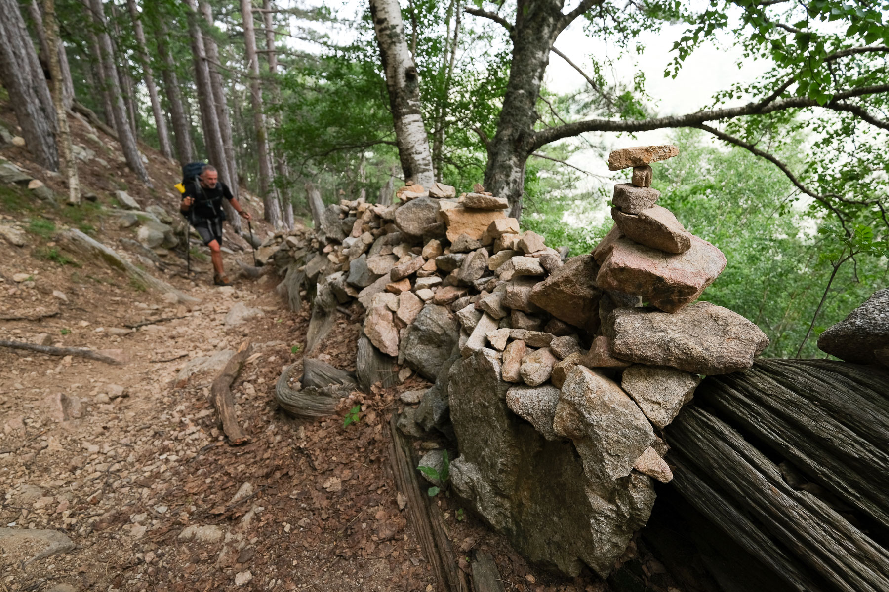
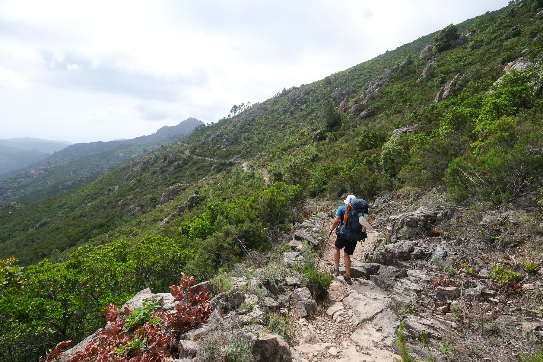
Stage 11 follows the GR20 to the Bocca di Agnone, then follows the old GR route which has become an official variant (2 yellow lines), heading straight for the monte Inducine without passing through Matalza. It's a more logical route, with less distance and fewer people. Stage 12 takes you on the alpine variant of the Aiguilles de Bavella, a beautiful route, but very busy at times, with groups doing the short loop from the Col de Bavella. Stage 13 follows the GR20 all the way to the end, ending up on a fairly long stage with a lot of negative elevation gain. Less difficulty on these stages, except for a few passages on the Bavella variant.
Stage 11
Refuge d'Usciulu to refuge d'Asinau via Monte Incudine (16.3 km, 870 m d+, 1080 m d-, alt max 2134 m, 6 hours)
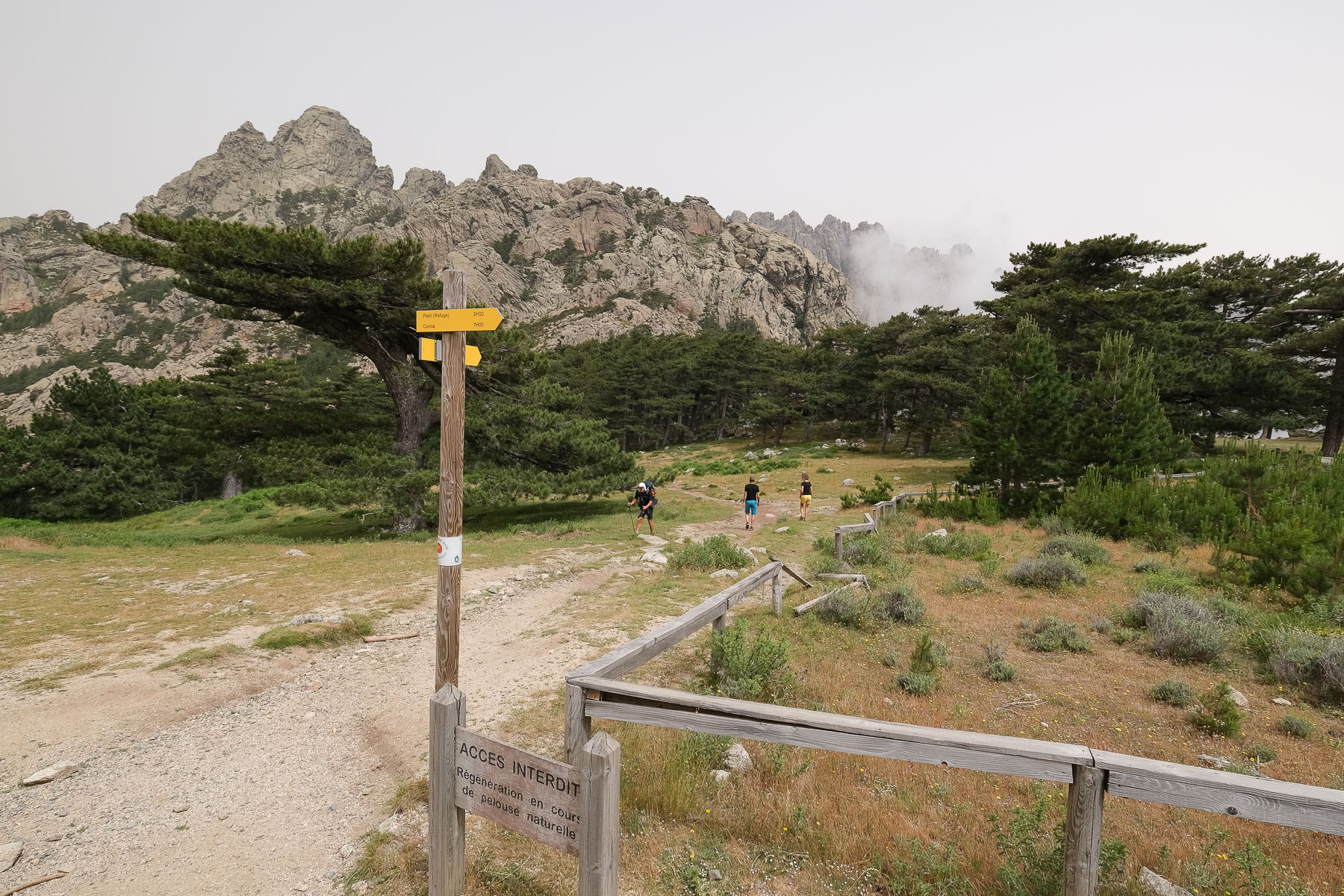
Bocca di Agnone (2h)
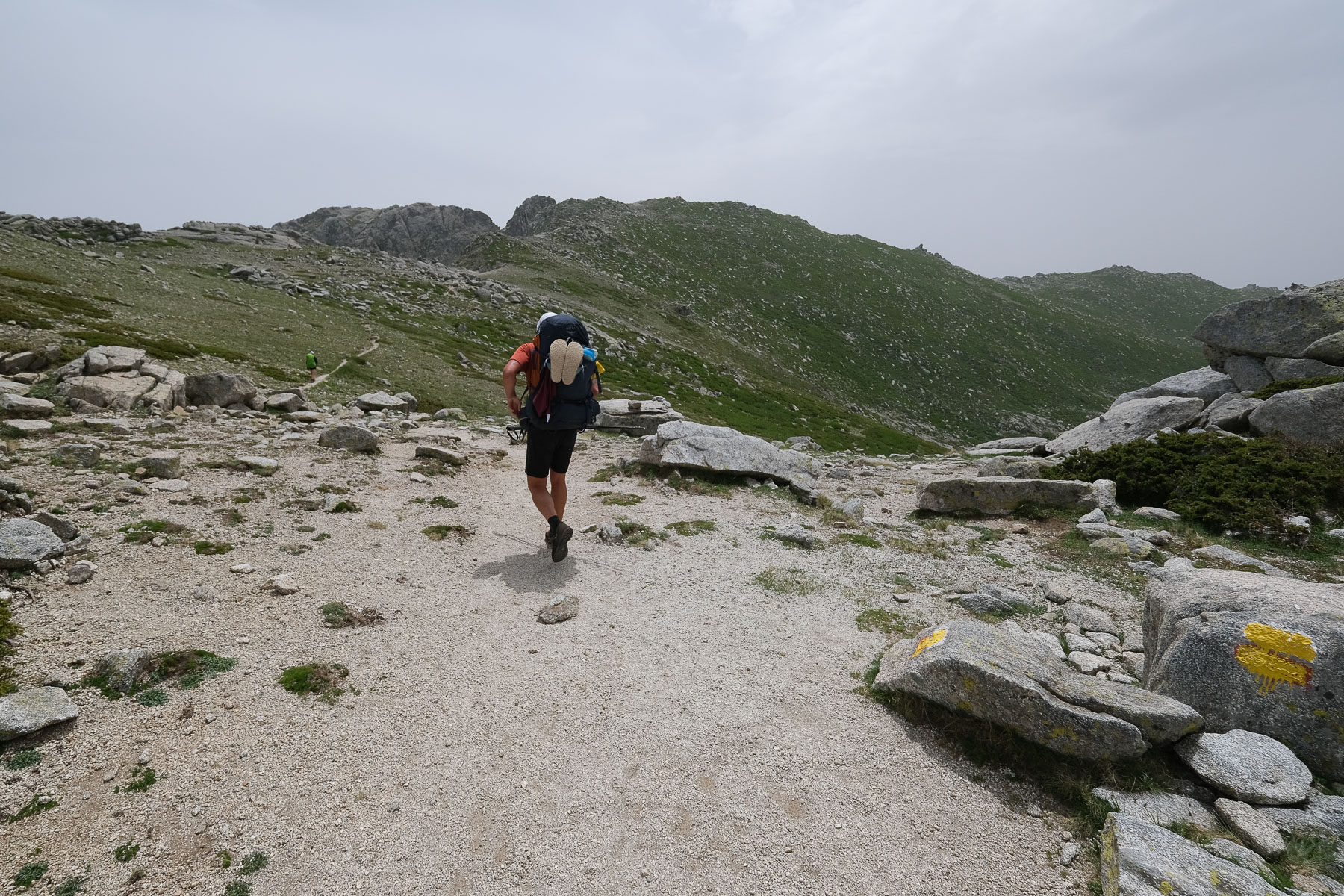
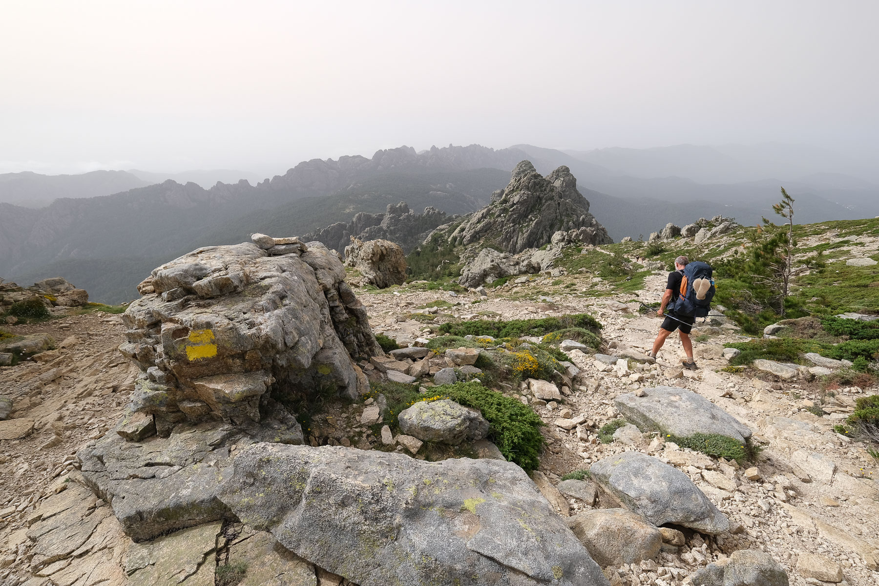
The first part of this stage takes us back to the ridges, with long passages on sloping slabs and a few sections where we have to use our hands to balance. Facing us, to the south, we can see almost the entire route, with Monte Incudine in the background, a large rocky peak with a hole in the center. After 1h20, we cross a sort of gap between 2 sloping walls to descend on the other side and soon reach the Bocca di Agnone, where the Matalza junction and the old GR route are located.
Monte Incudine (2134m, 3h)
Turn left following the alternative route. It descends a little and you come out into a wide-open valley which you will cross, keeping to the south. In about 1h, after a few gentle bumps, the path reaches the torrent and the footbridge. Cross over and climb steeply uphill for 30 minutes to find a spring, then another 15 minutes to reach the Foce Aperta ridge pass. This time it's a matter of climbing back up the ridge to reach the summit of Monte Incudine in just over an hour from the pass.
Refuge d'Asinau (1h)
From the summit, descend to Bocca Stazzunara. The Asinau refuge is at the very bottom. The descent is vertiginous, very steep and sustained, quite technical, with almost 500m of rugged, rocky, negative gradient, which is quite hard on the joints at the end of the day.
Stage 12
Refuge d'Asinau to refuge d'i Paliri via the Bavella alpine variant (11.7 km, 600 m d+, 1090 m d-, alt max 1675 m, 5 hours)
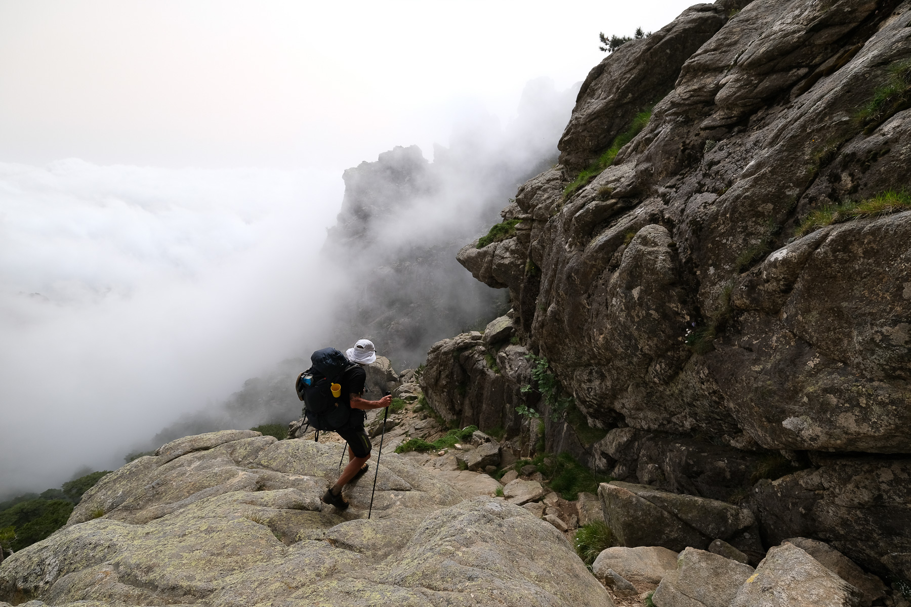
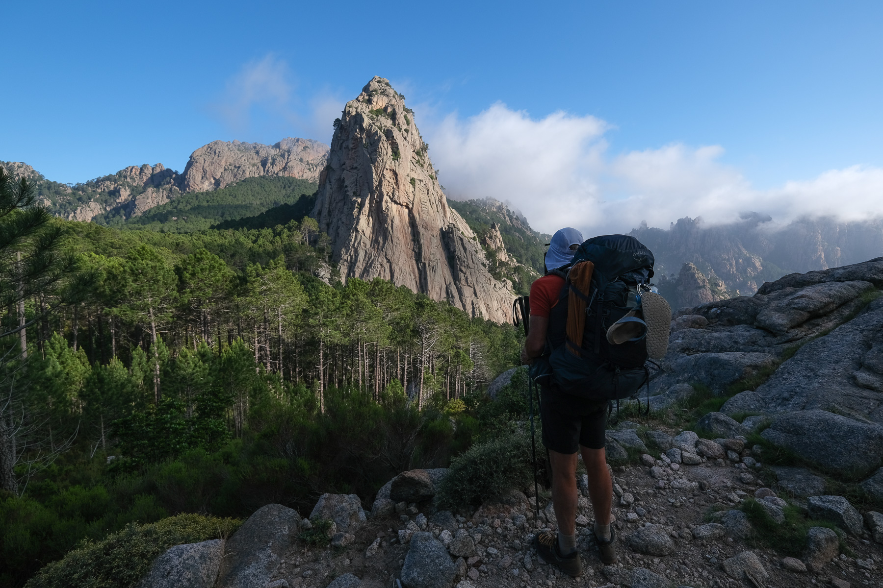
Bavella alpine variant (3h)
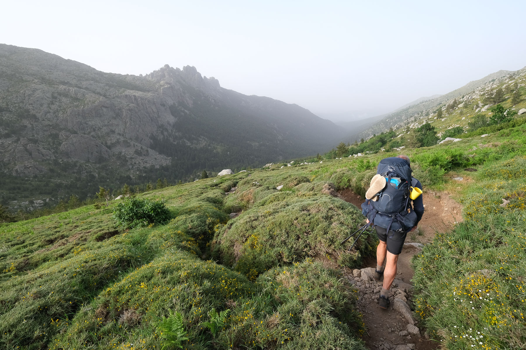
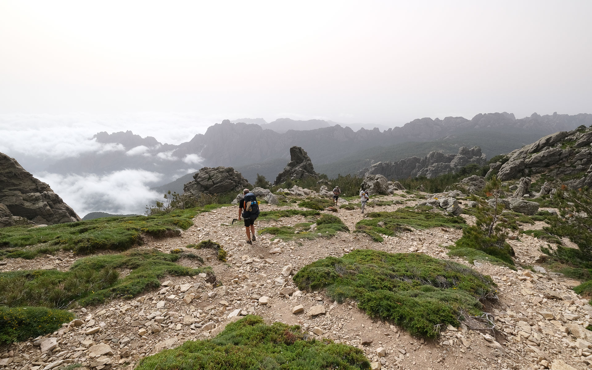
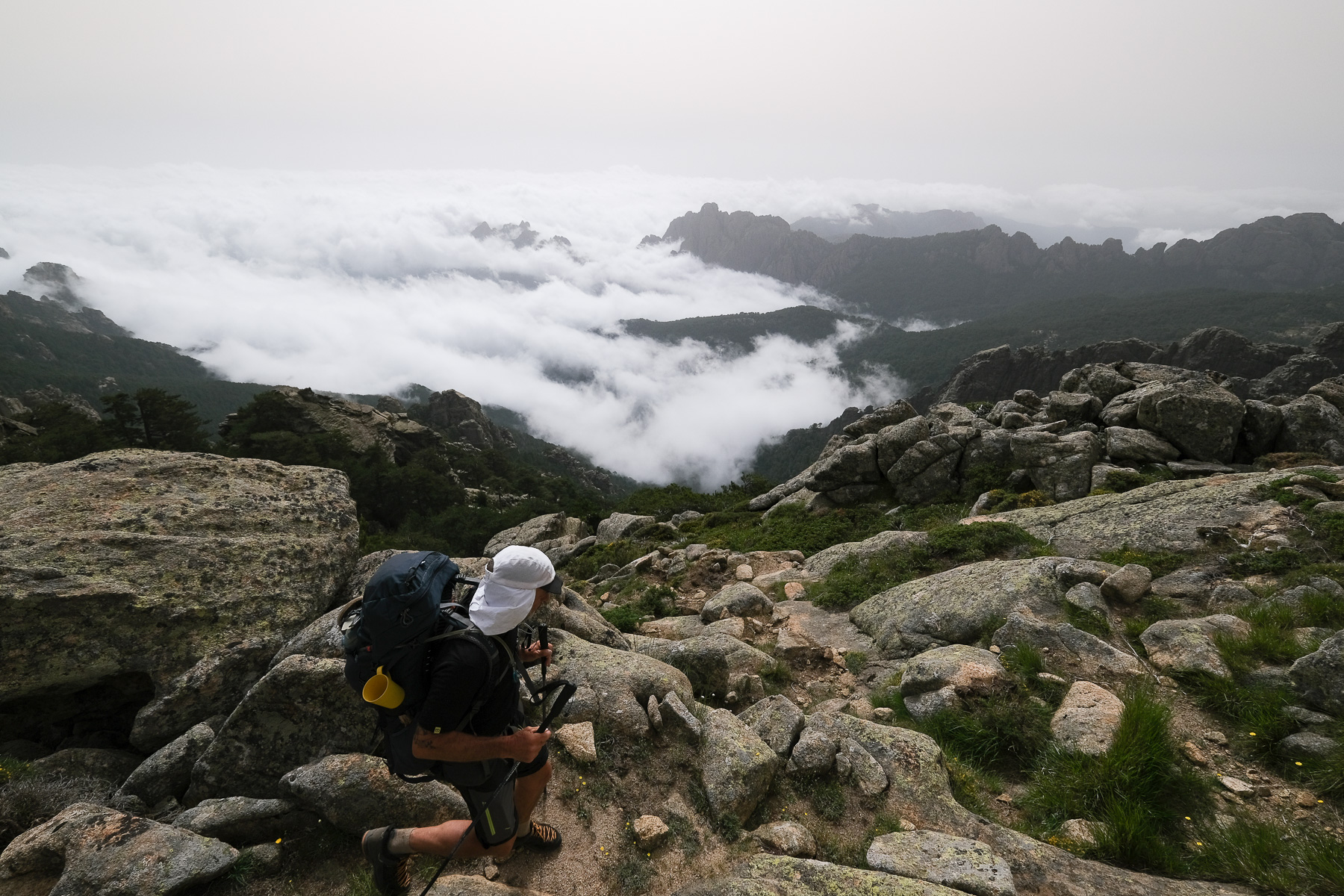
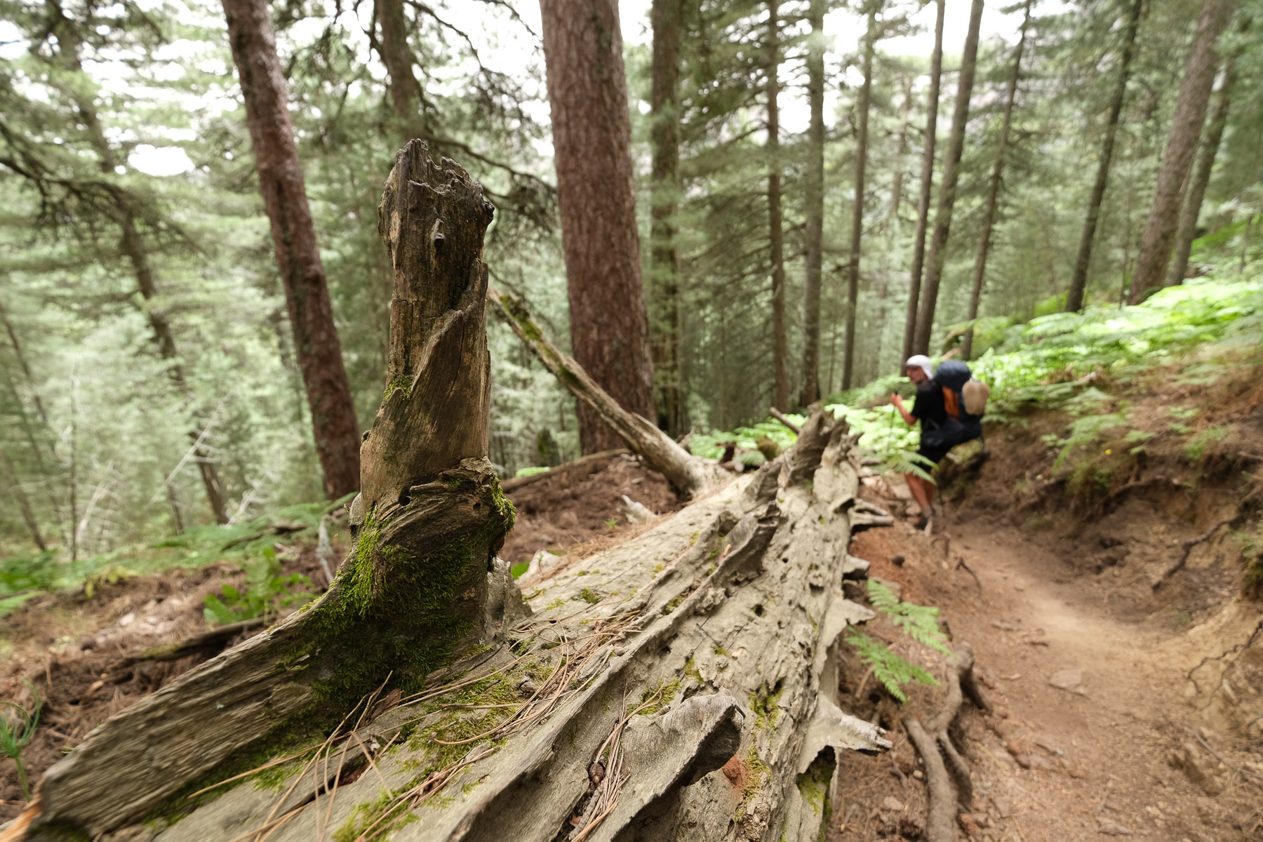
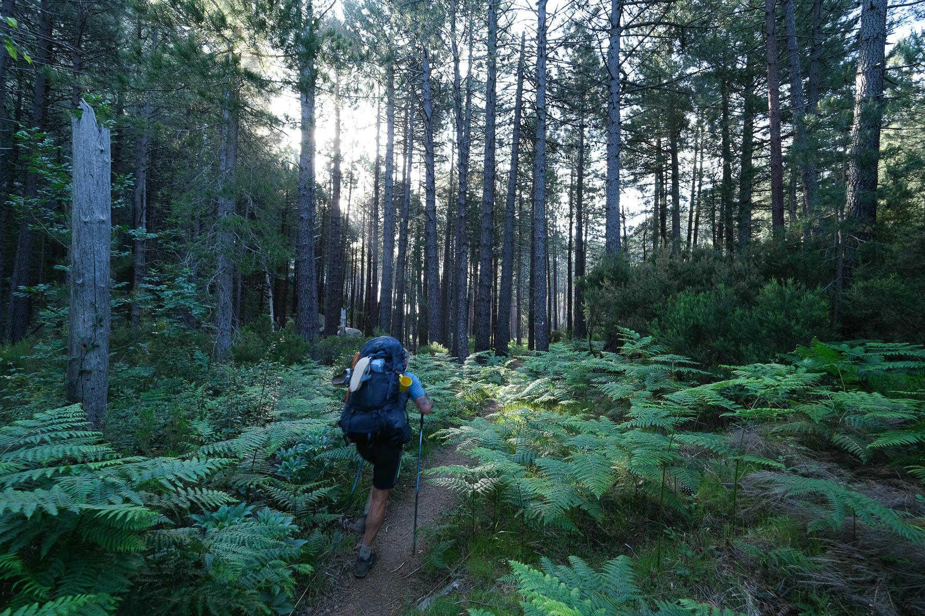
Descend into the valley to cross the Asinao stream below and continue through the forest. It's hilly, with small ascents, until you reach the junction after a 1h15 hike from the refuge.
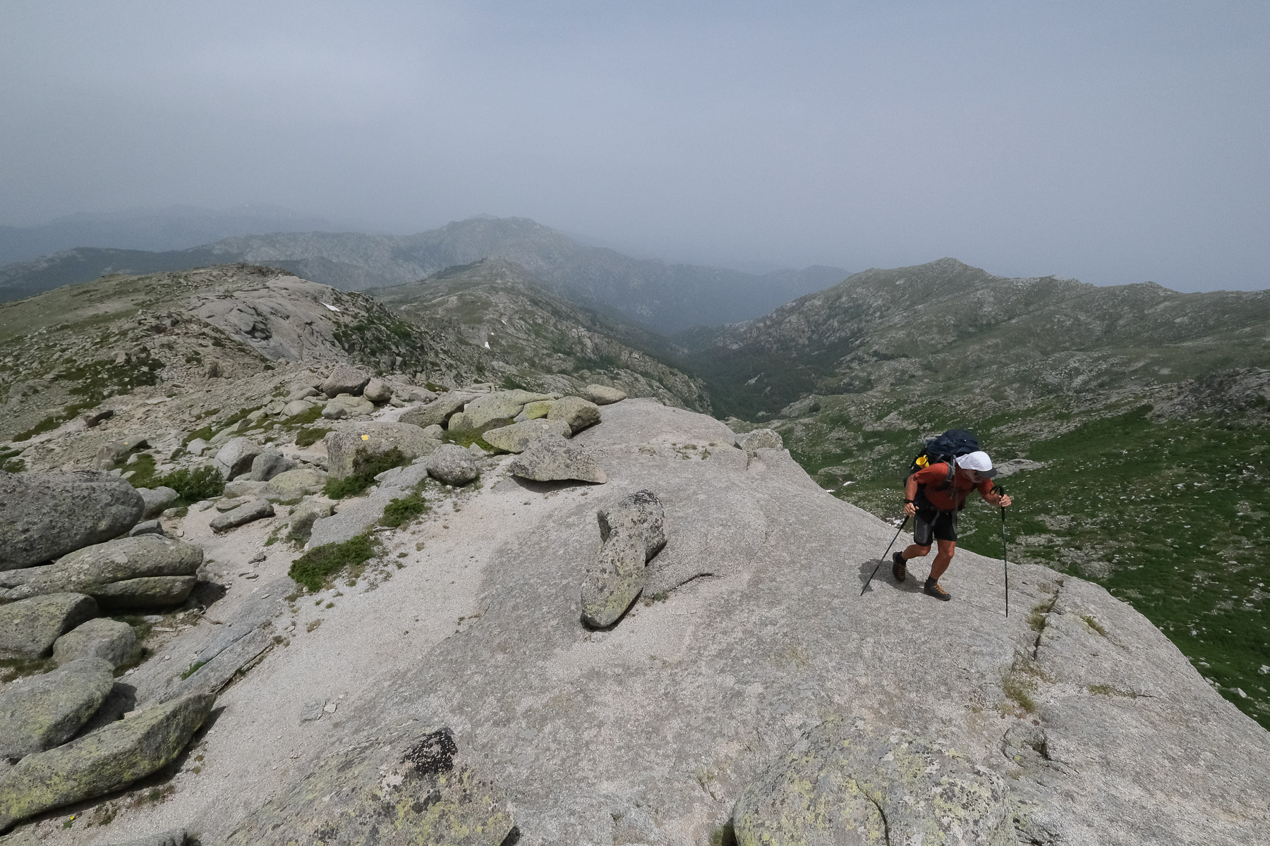
From here, fork left and climb steeply up the western slope of the aiguilles, and after an hour you reach the Bocca Pargulu, which gives access to the ridges. The rest is superb, as the path winds its way along the ridges with superb views to the east. There are a few ascending and descending passages (III max), as we thread our way from one needle to another. The path then descends to a slope equipped with 2 rungs and a chain (plugs to be provided!), which can be avoided by climbing IV+ to the right. At the end, the path climbs steeply up to reach the Bocca di u Truvone, the final gap. Behind it, the path drops down to reach the Col de Bavella.
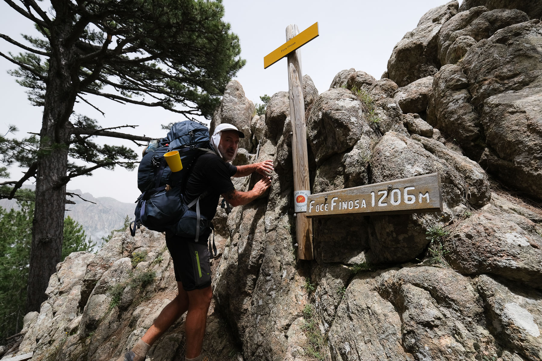
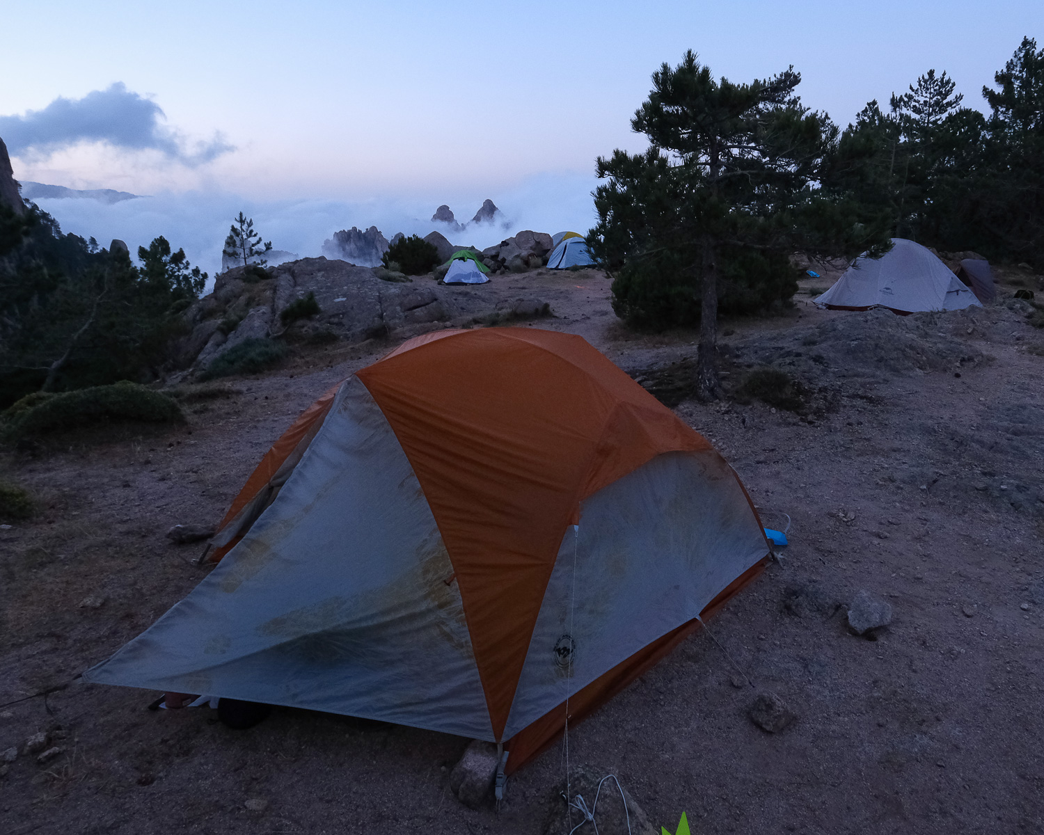
Refuge d'i Paliri (2h)
Walk along the road, heading east, and at the bottom of a left-hand hairpin bend, exit to follow the GR20 through the forest. It descends gently, then rises again for a short, steep climb over the Foce Finosa pass. On the other side, a winding descent then a long traverse due east until you find the i Paliri refuge, ideally placed on a flat area forming a pass between Punta Tafunata and Punta di i Paliri. The sunset is superb on both sides!
Stage 13
Refuge de Paliri à Conca (13.3 km, 325 m d+, 1130 m d-, alt max 1050 m, 3 hours 30)
Extraordinary sunrise on the north-east side, not to be missed (see photos). The trail descends alongside the superb Punta di Lamina Damnata, a carved granite tooth, then heads east, before turning due south and crossing at level. At the end, a short climb leads to a sort of rocky corridor, the Bocca Villaghelo. We walk on undulating ridges, treading on long, more or less sloping granite slabs. After 1h30 from the start, we begin the descent that plunges into the gorges of the Punta Pinzuta stream, which we cross and follow on the left bank to cross again further down, in a more incised section. At this point, there are small waterfalls and bathing basins.
A short climb out of the gorge. Then begins a long walk on a balcony path overlooking the valley of the Punta Pinzuta stream, following the relief with wide curves. It gradually descends to reach the final bocca of the GR20, the Bocca d'Usciolu. There's a 30-minute descent along a winding corridor through scrubland and forest below to Conca, the end point of the GR20!
Descend the streets until you find the Bar du GR20, where the shuttle bus to Porto-Vecchio stops. Outside summer, the bar owner calls the shuttle on demand, as soon as there are at least a dozen hikers. In summer, the shuttle runs on a regular schedule (ask at the bar for details). In 2021, the cost will be €6.5 to be dropped off at the Port-Vecchio bus station.


 Partager sur WhatsApp
 Partager sur Twitter
Partager sur Instagram
Partager sur Twitter
Partager sur Instagram

 Partager sur Facebook
 Imprimer le topo
 Laisser un commentaire


Leave a Reply