

TOPO Ski Touring | CLIMBING7.COM
Publié le

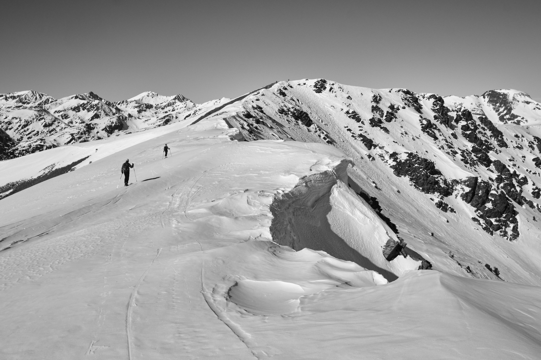
We set out to climb the Pic de la Cabaneta from the Vall d'Incles, but the snow conditions decided otherwise. Above the Siscaro ponds, the day's itinerary took us to the Pas de las Vaques to follow the ridge to the small summit of Tossal d'Incles at 2568m. A little further on, there's a nice south-west-facing slope to ski, before improvising in the forest to get back to the valley floor. While the skiing isn't exceptional, the hike offers beautiful scenery, from the Siscaro refuge to the ridges sculpted by snow cornices.
❱❱ Technical summary
► Itinerary : Ski touring. 1000m ascent, 7 km distance (ascent). Maximum altitude of 2568m at the summit of Tossal d'Inclès.
► Geographical situation : Departure from Soldeu, at the entrance to Vall d'Incles, in the parish of Canillo, Andorra.
► Technical difficulties : 2 or 3 fairly short but steep ascents of 30° max.
► Orientation : North side ascent, south-west side ski descent
► Gear and equipments : Knives are needed for the steeper, more northerly and possibly harder sections.
► General review : A short tour of Vall d'Incles
❱❱ Access to the place
At Soldeu, between Canillo and Col d'Envalira, enter Vall d'Incles. The road to the valley floor is closed in winter. Park in the parking lot before the first houses.
❱❱ Map & topo
The ascent and descent routes are indicative.
Voir en plein écran❱❱ Itinéraire
The route is up to the Pont de la Badalosa. From the parking lot, 3 options depending on snow conditions. Option 1: climb above the road on the sunnier left-hand side. Option 2: slide down the road if snow-covered. Option 3: take the shadier forest path on the east side.
Glide along the snow-covered trail back to the approach path. Then return to the starting point, pushing a little on the poles and canarding 2 or 3 times upwards. If the road is well snow-covered, slide back to the starting parking lot, pushing a little on the poles.
Leave a Reply