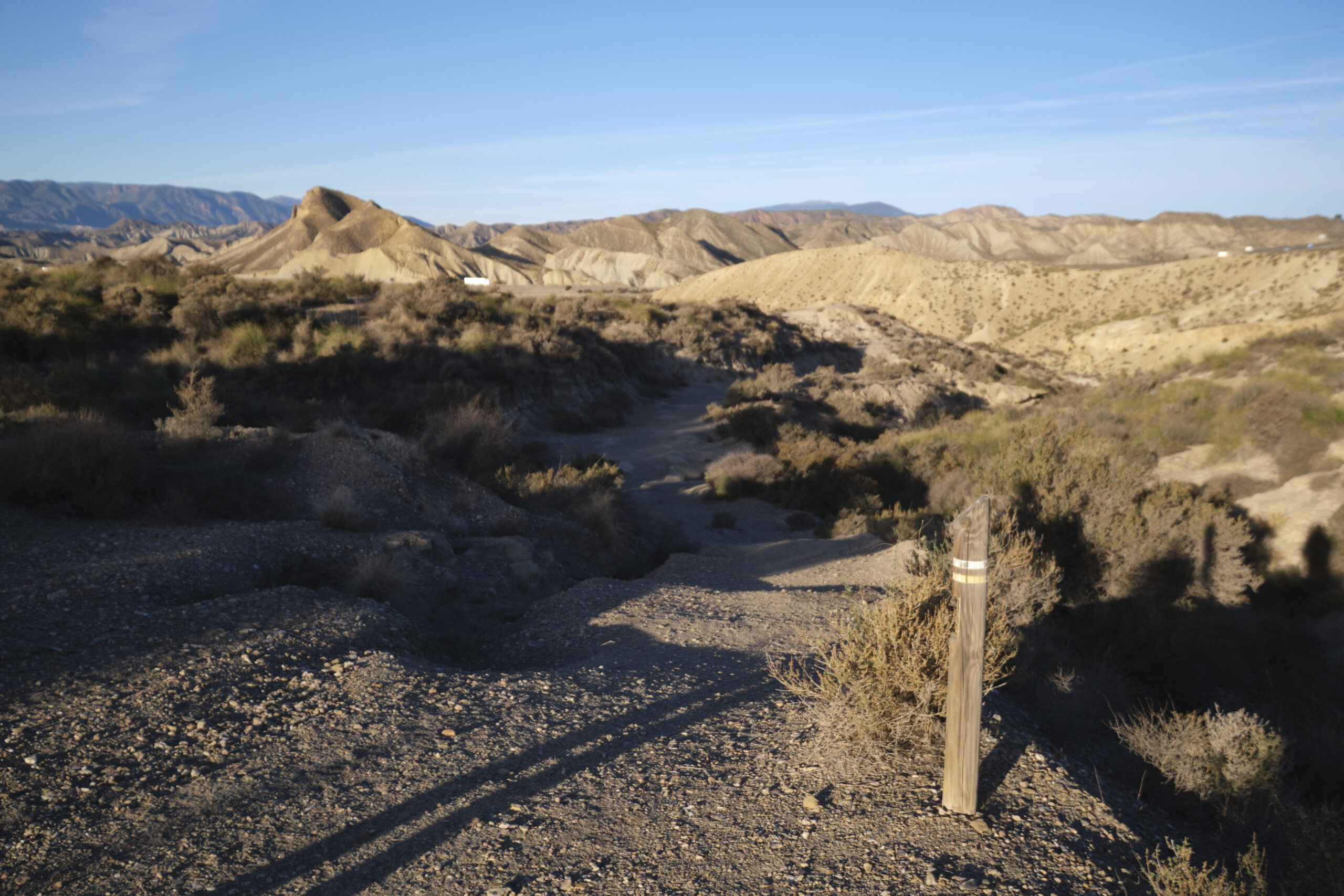
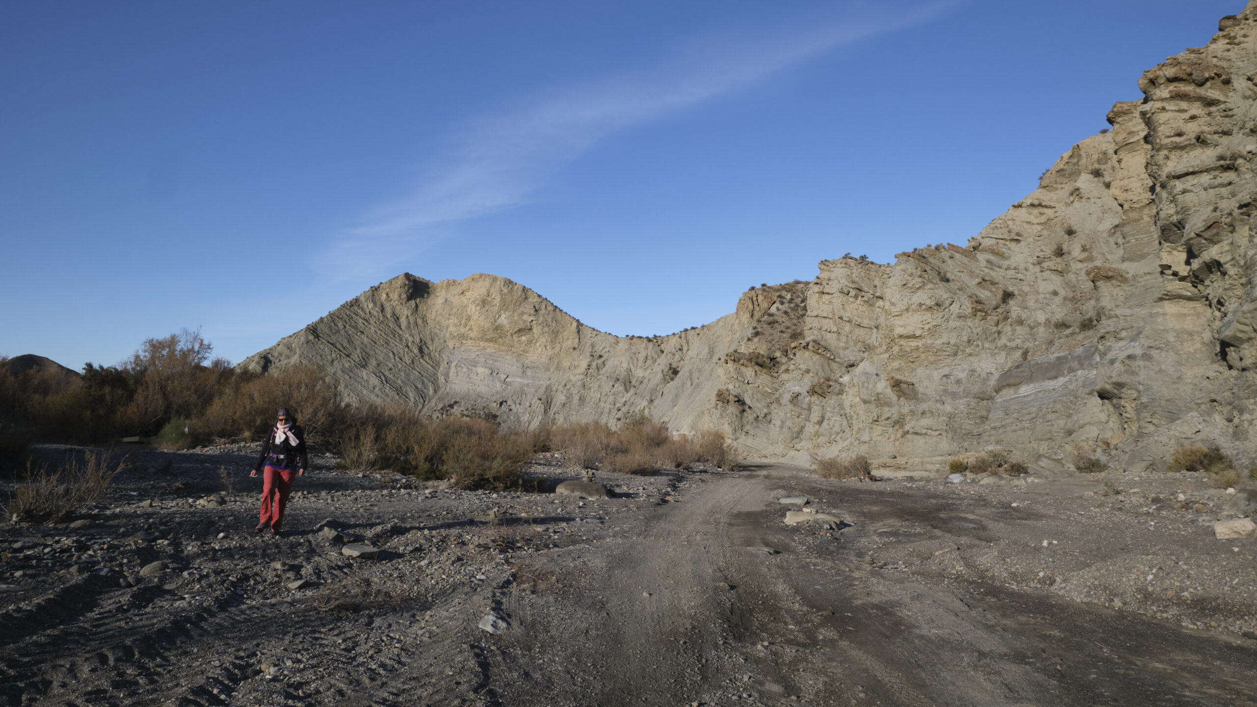
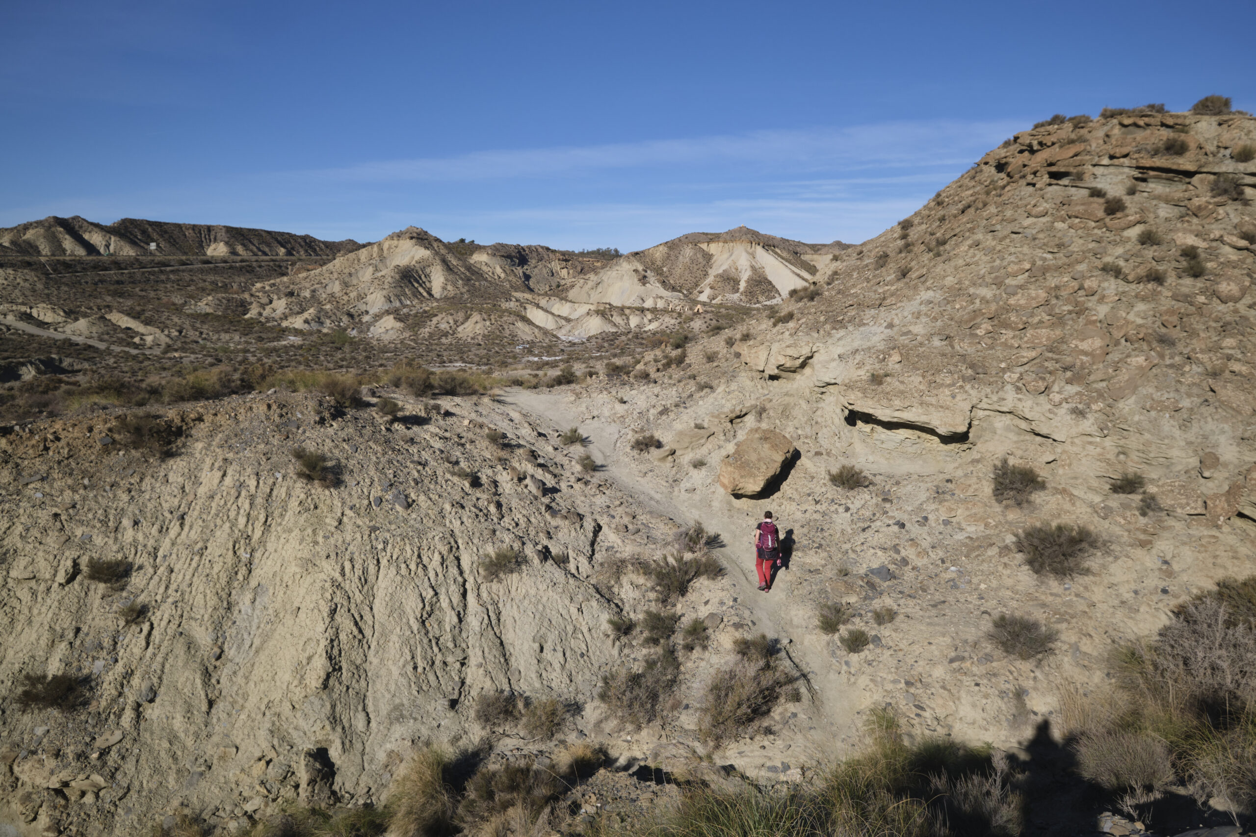
A long journey through the ramblas and other desert arroyos of Tabernas, in heat that is already intense for the season. The loop crosses the area, alternating between dry torrent beds, arid stony slopes and high plateaus, in an impressive Far-West setting. The geological formations of volcanic origin offer landscapes straight out of Sergio Leone films, and you can expect to come across a rattlesnake along the way, or a Cheyenne camp set up for the winter. The itinerary is long and this is its main difficulty, but it can be shortened by avoiding the upper loop of the Verdelecho arroyo. One small drawback is the presence of the A92 and N340-A, which are close enough to be either visible or audible, especially in the northern part, which takes some of the charm out of this plunge into the desert. In any case, this hike is best done outside the summer season, to avoid the appalling heat!
❱❱ Technical summary
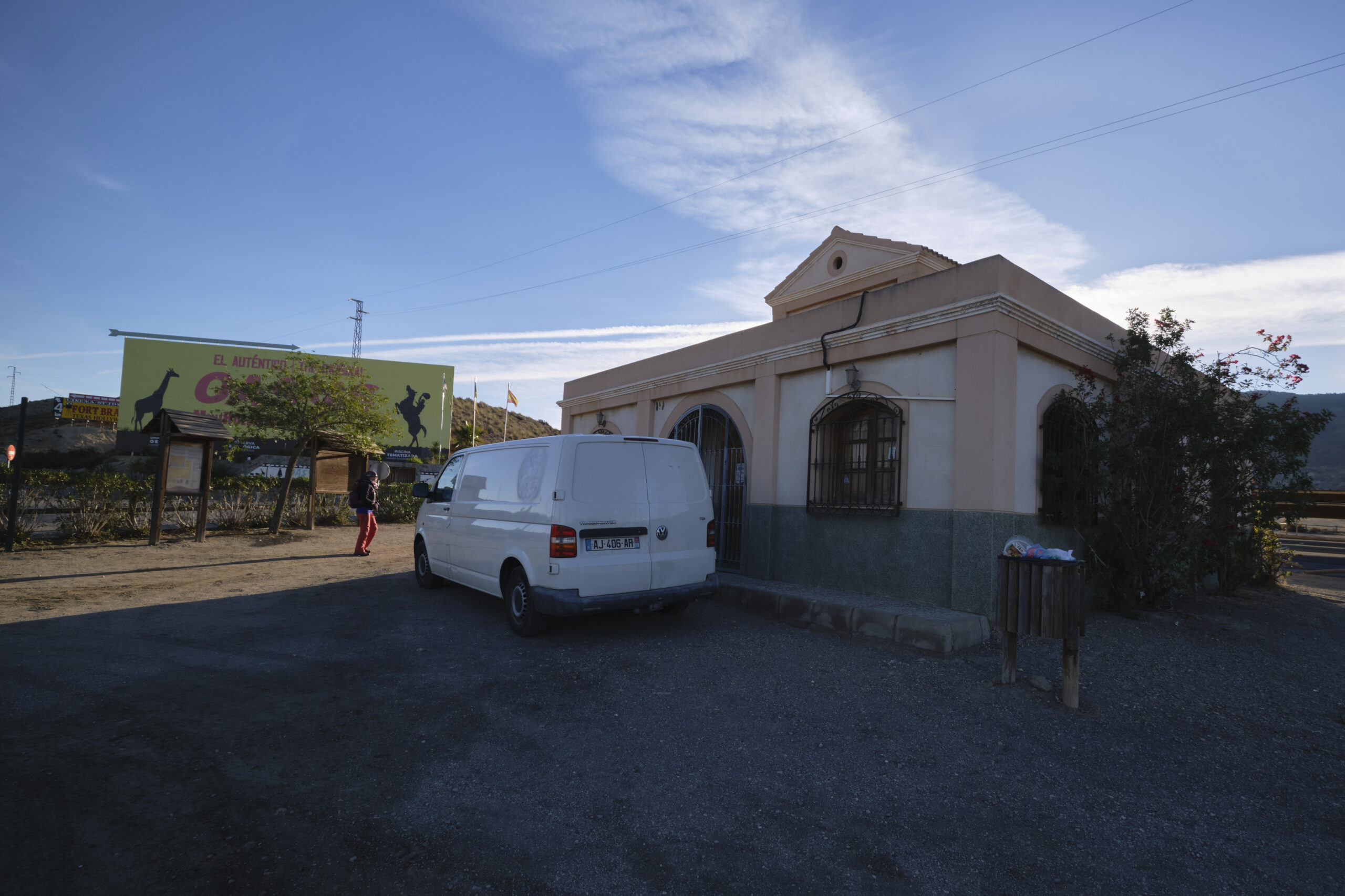
► Starting point: MiniHolliwood Oasys Park parking lot, on the N340 towards Tabernas, Andalusia, Spain ►Type of route: desert loop hike ►Distance to cover: 20 km ►Cumulative elevation gain: +270 m ►Cumulative negative elevation gain: -270 m ►Estimated total time: 5h to 7h ► Min and max altitude: 220 m / 350 m
► Signposting: official yellow signposting, not always clearly visible, sections off signposting or off-trail (variant). ►Equipment in place: none ►Equipment to bring: useful GPS track and water!
Difficulties: no technical difficulties except in the variant on the second part where you have to cross some steep slopes on unstable terrain, just the long distance and the heat...
❱❱ Access to the place
On the A92 between Almeria and Guadix, turn onto the N340-A towards the village of Tabernas. A few hundred meters from the exit, after the bridge over the rambla de Tabernas, park on the right in the small parking lot before the entrance to MiniHolliwood Oasys Park.
The route generally follows the official yellow-marked circuit, up to the loop in the Verdelecho arroyo.
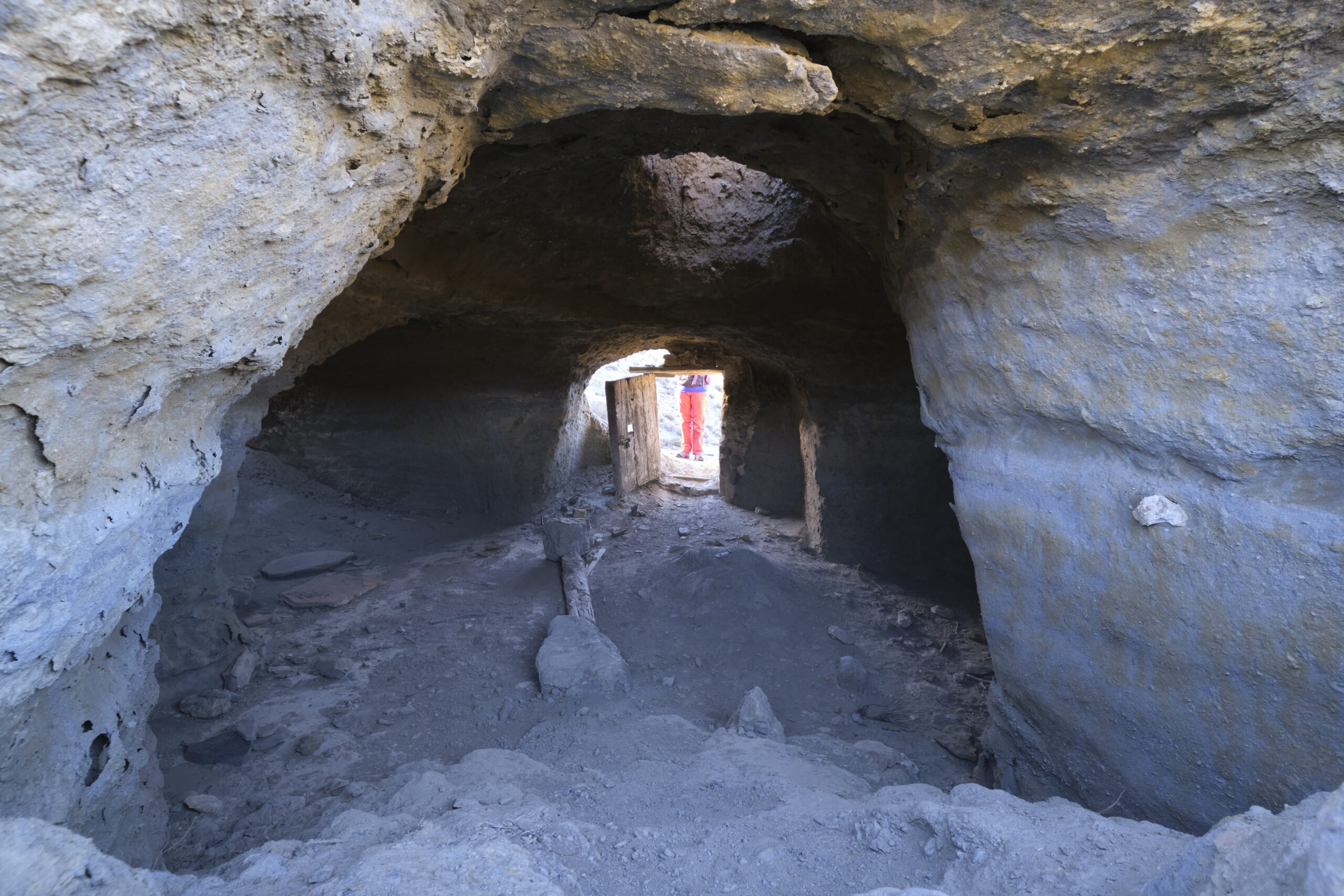
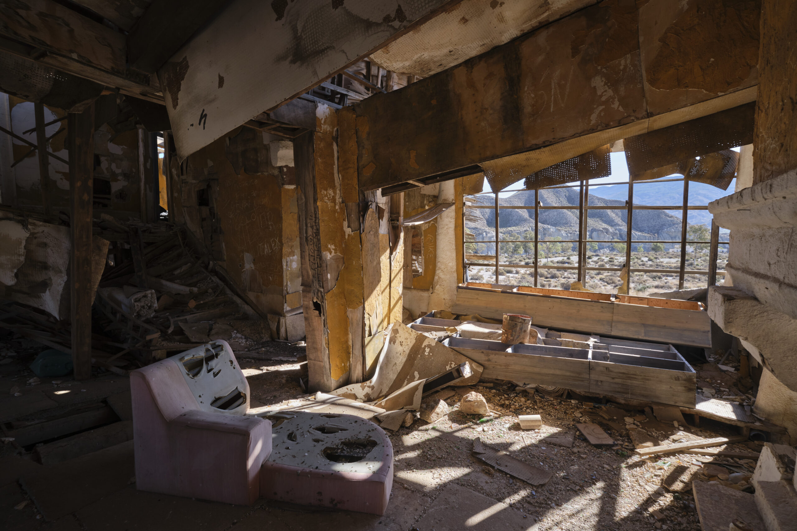
From the road, wind down to reach the bottom of the canyon formed by the rambla de Tabernas. Along the way, you can see an old dwelling built under a mound (a film set?). Once in the dry torrent bed, walk eastwards along the wide sandy passage. Pass the ruins of an ancient church (?) and follow the large bend to the left which opens up the prospect of the rambla further north. You can go up the rambla and back again, but that's not the most interesting part.
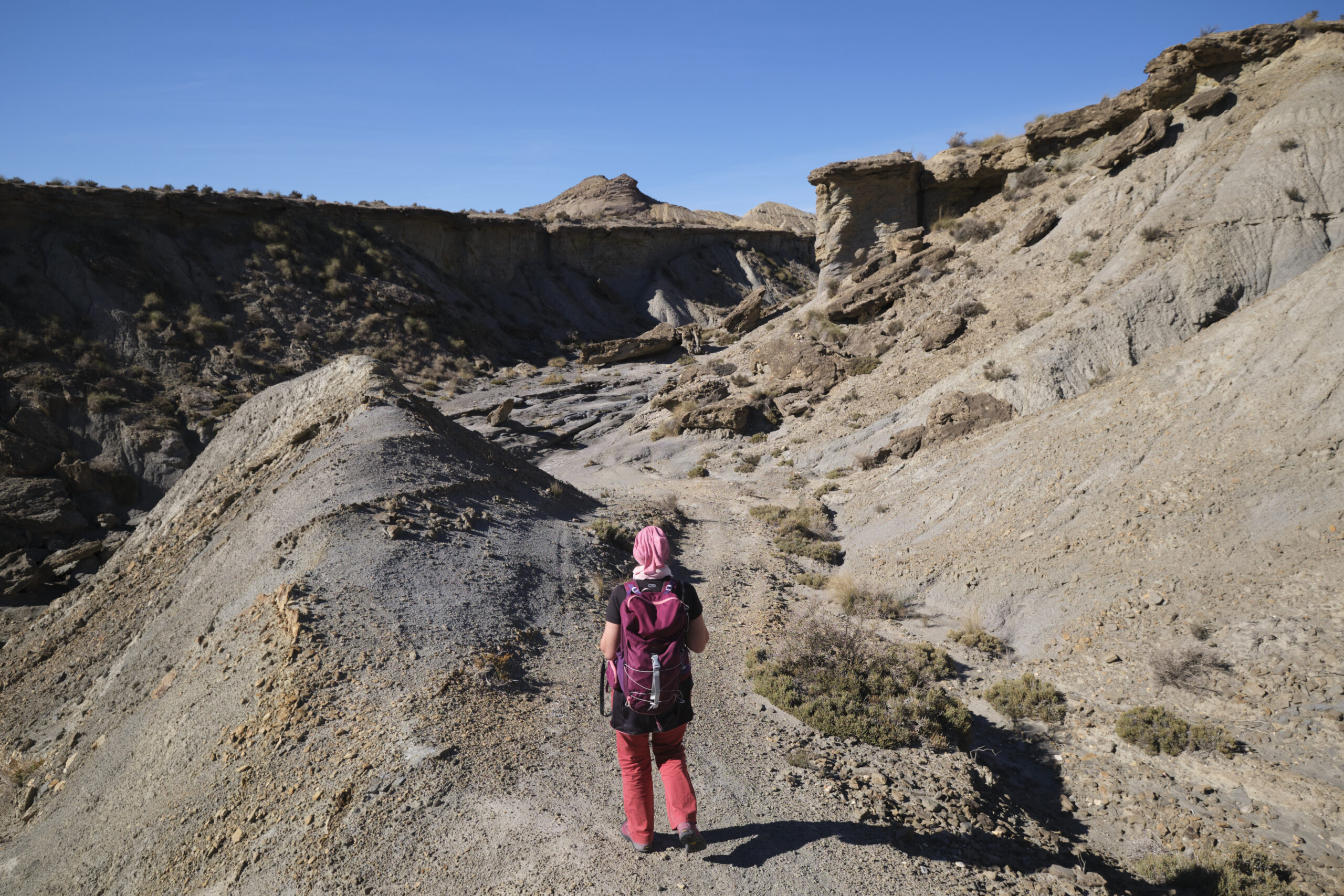
Leave the bed of the rambla de Tabernas after the ruins and climb back onto the path, this time to the west, to gain height above the canyon. Continue along the trail, which heads further and further west, before descending to the bed of the Verdelecho arroyo at Llano del Duque.
At this point, you can either do the northern loop in the Verdelecho arroyo, or head south to shorten the route.
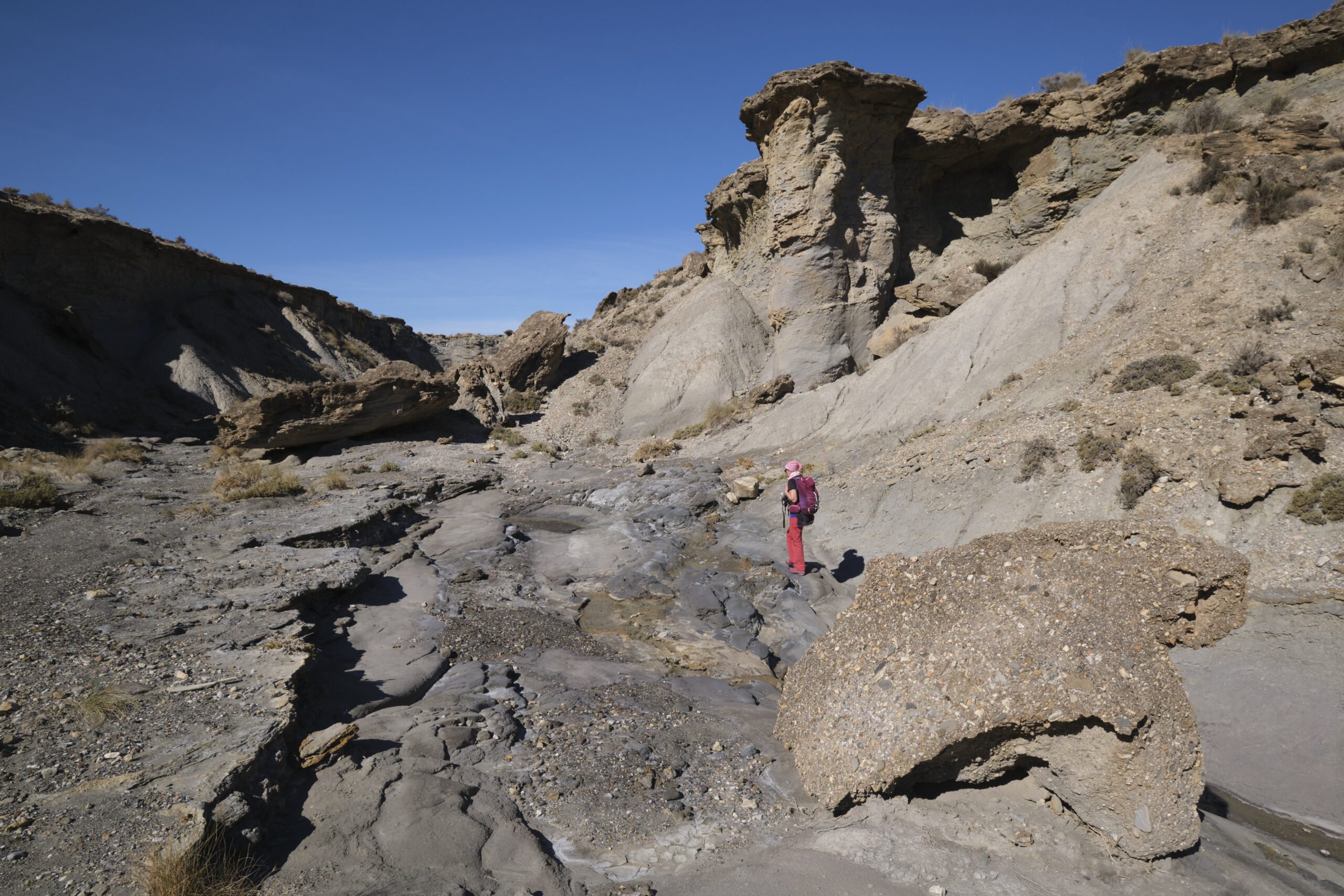
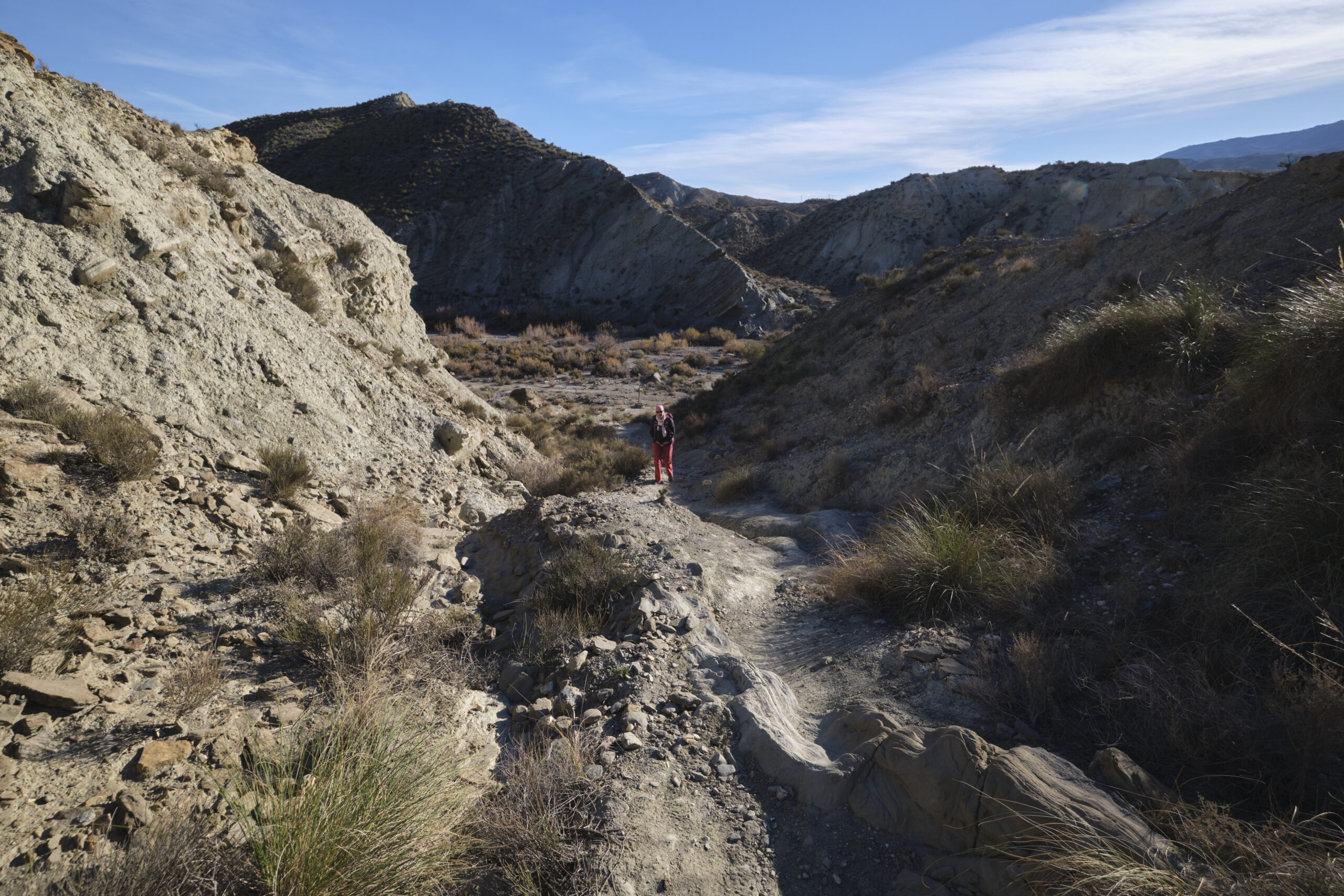
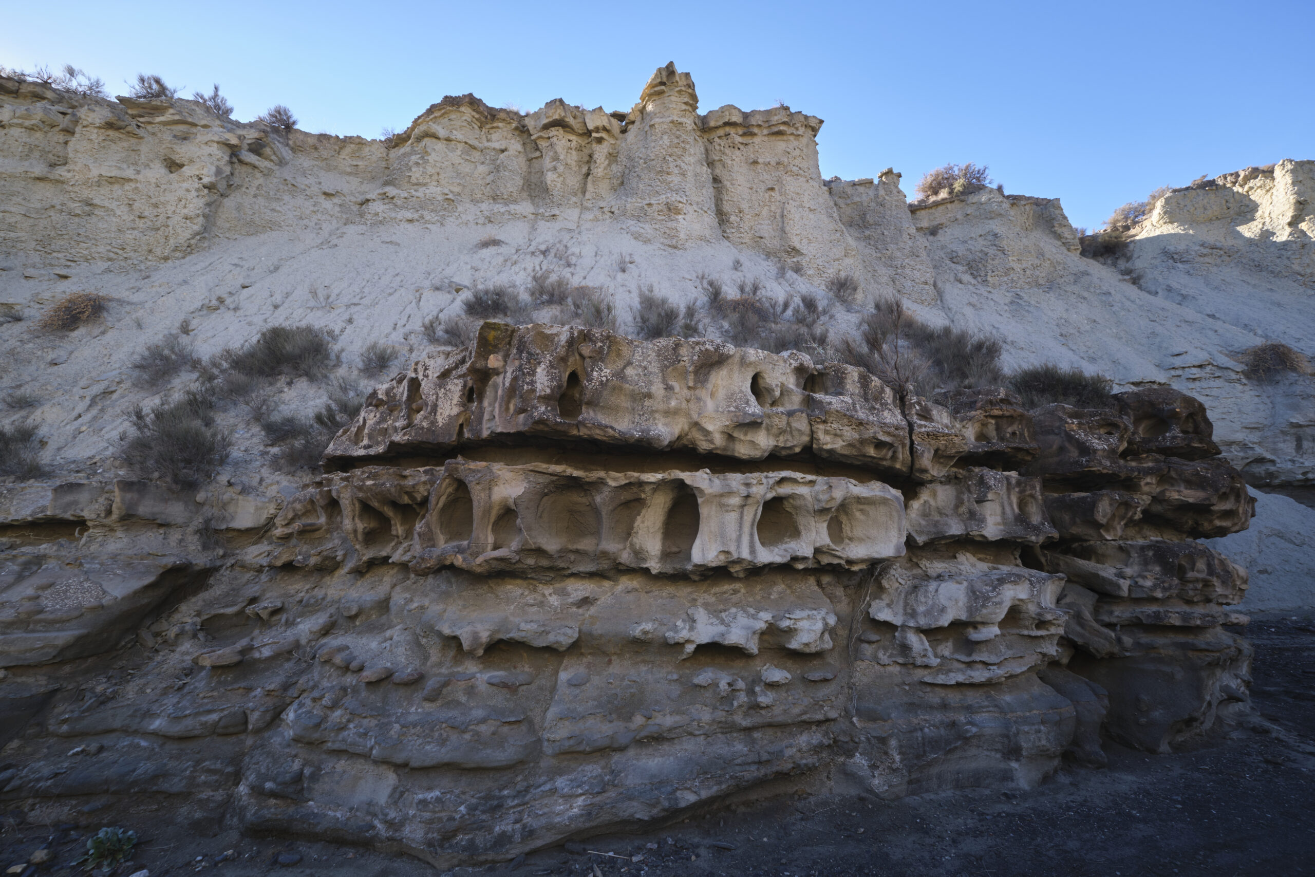
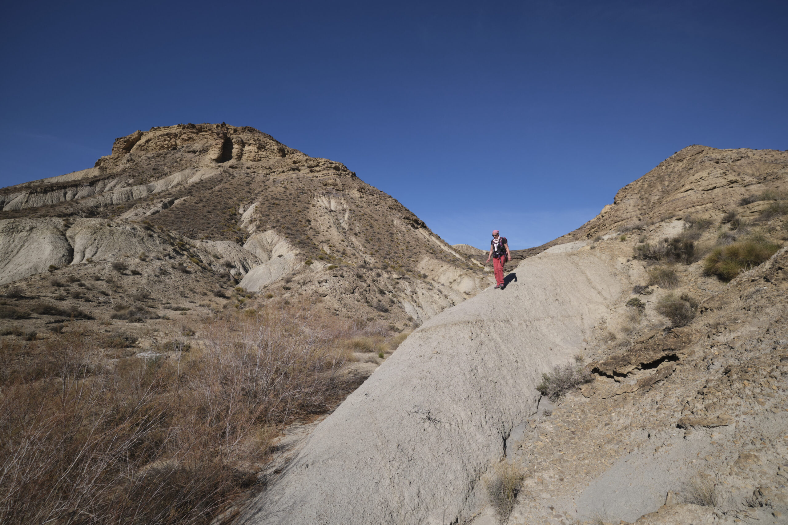
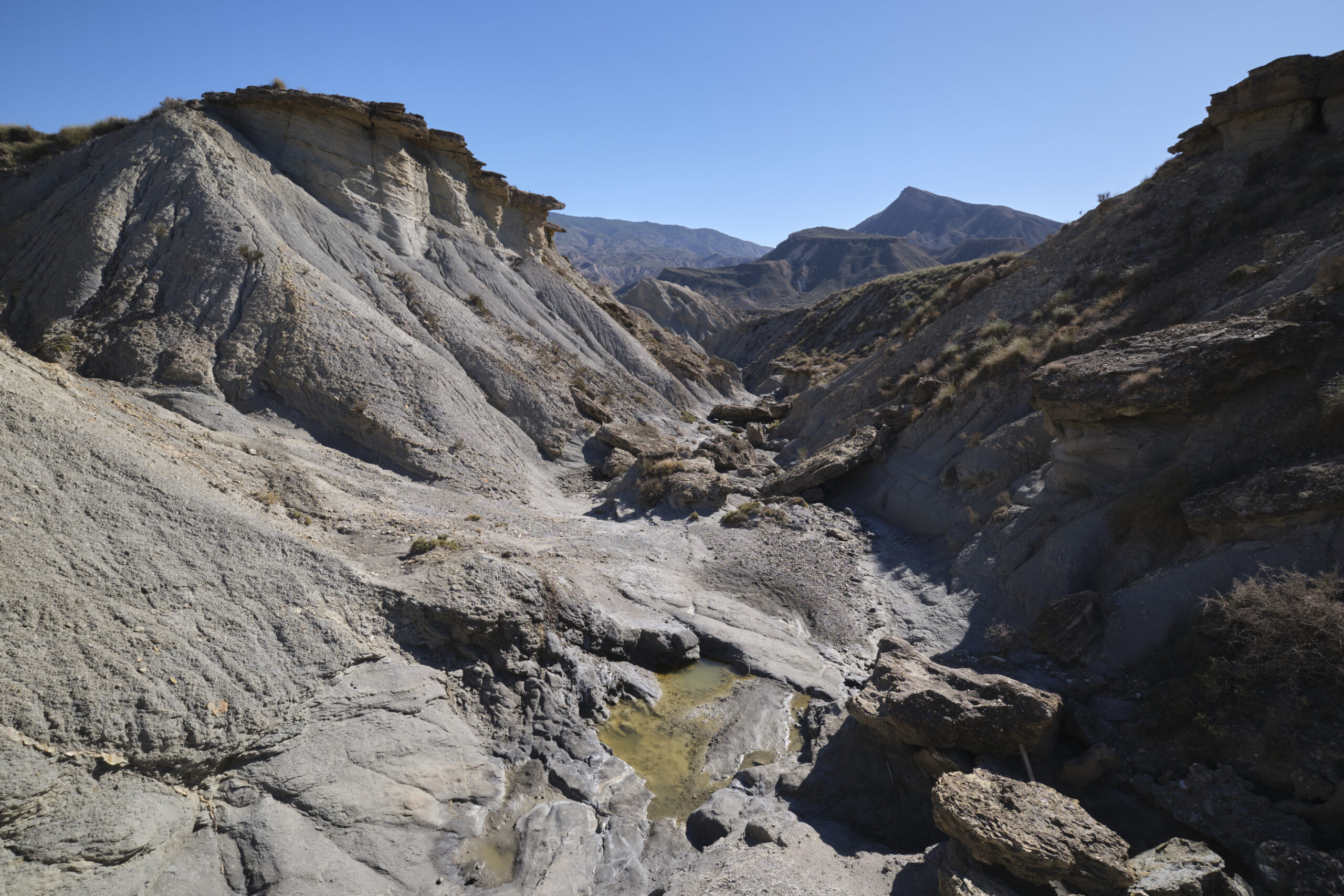
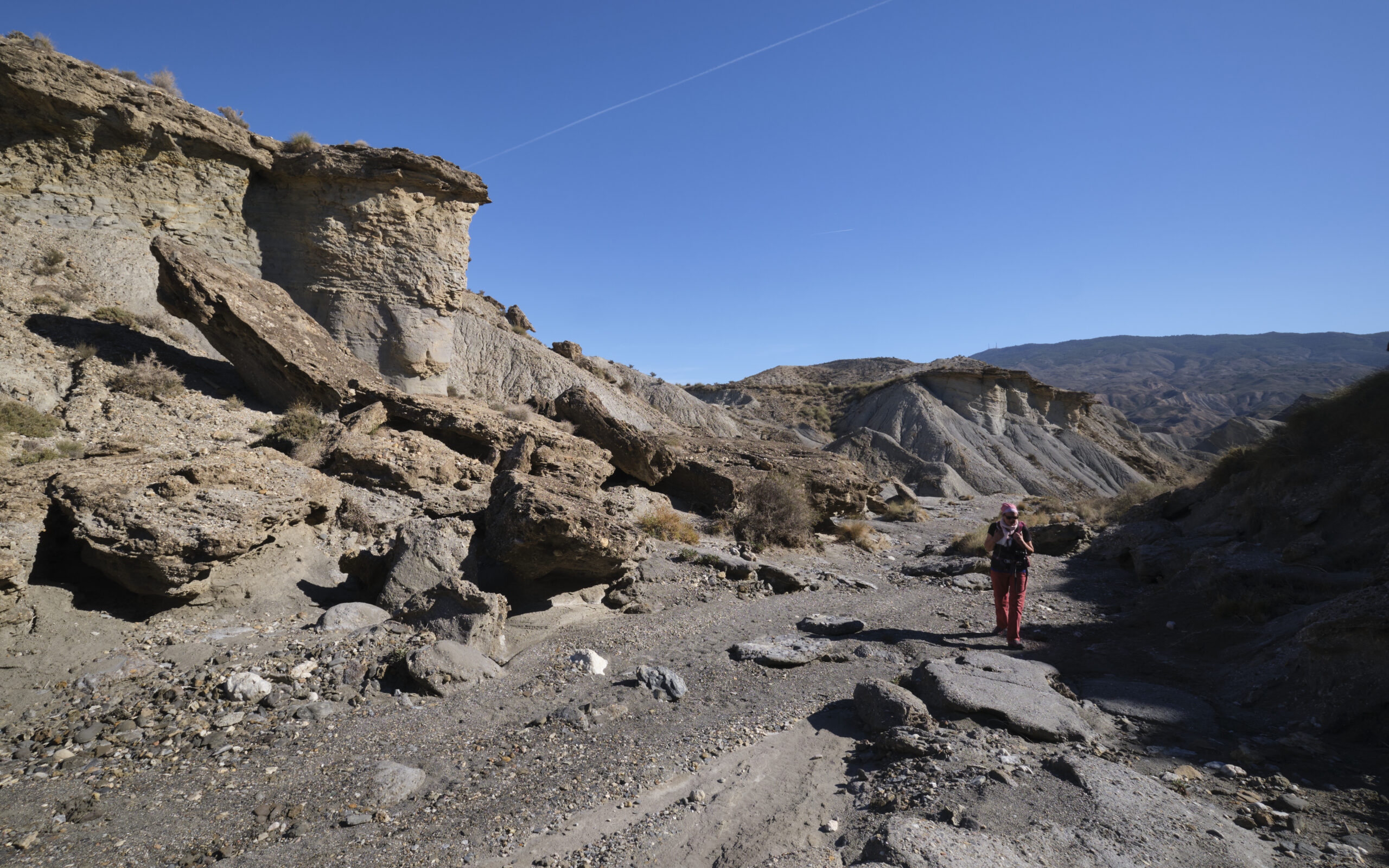
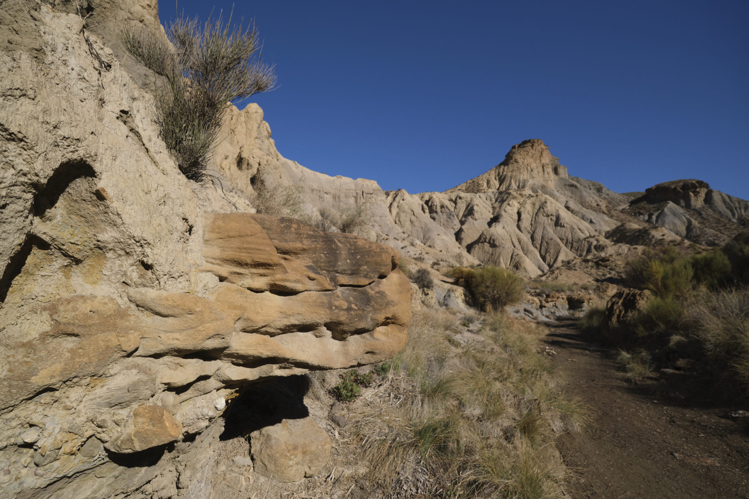
For the Verdelcho loop, you simply climb up the arroyo bed to enter a small, increasingly narrow canyon, which meanders for a while, with pretty geological formations to be seen to the right and left.
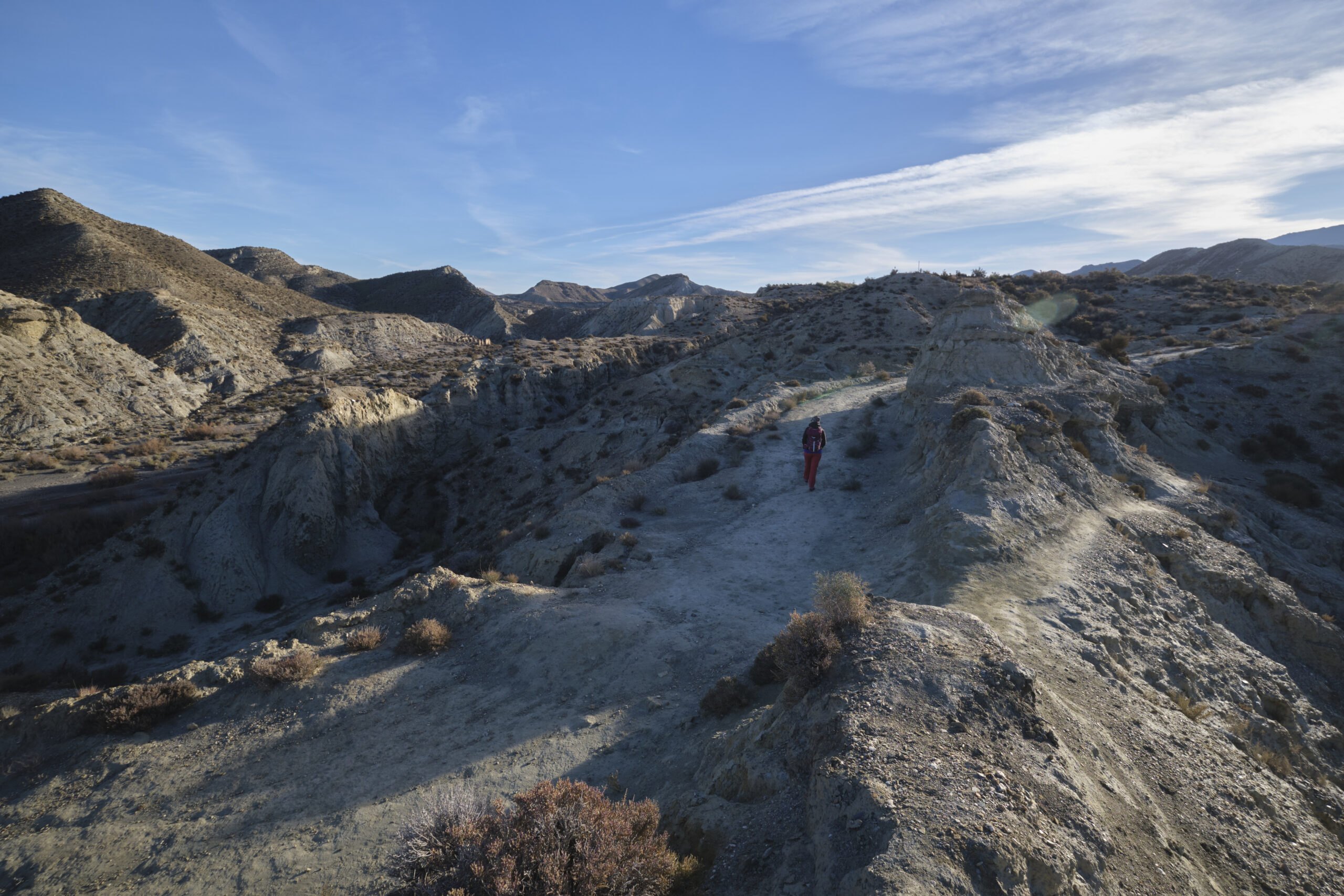
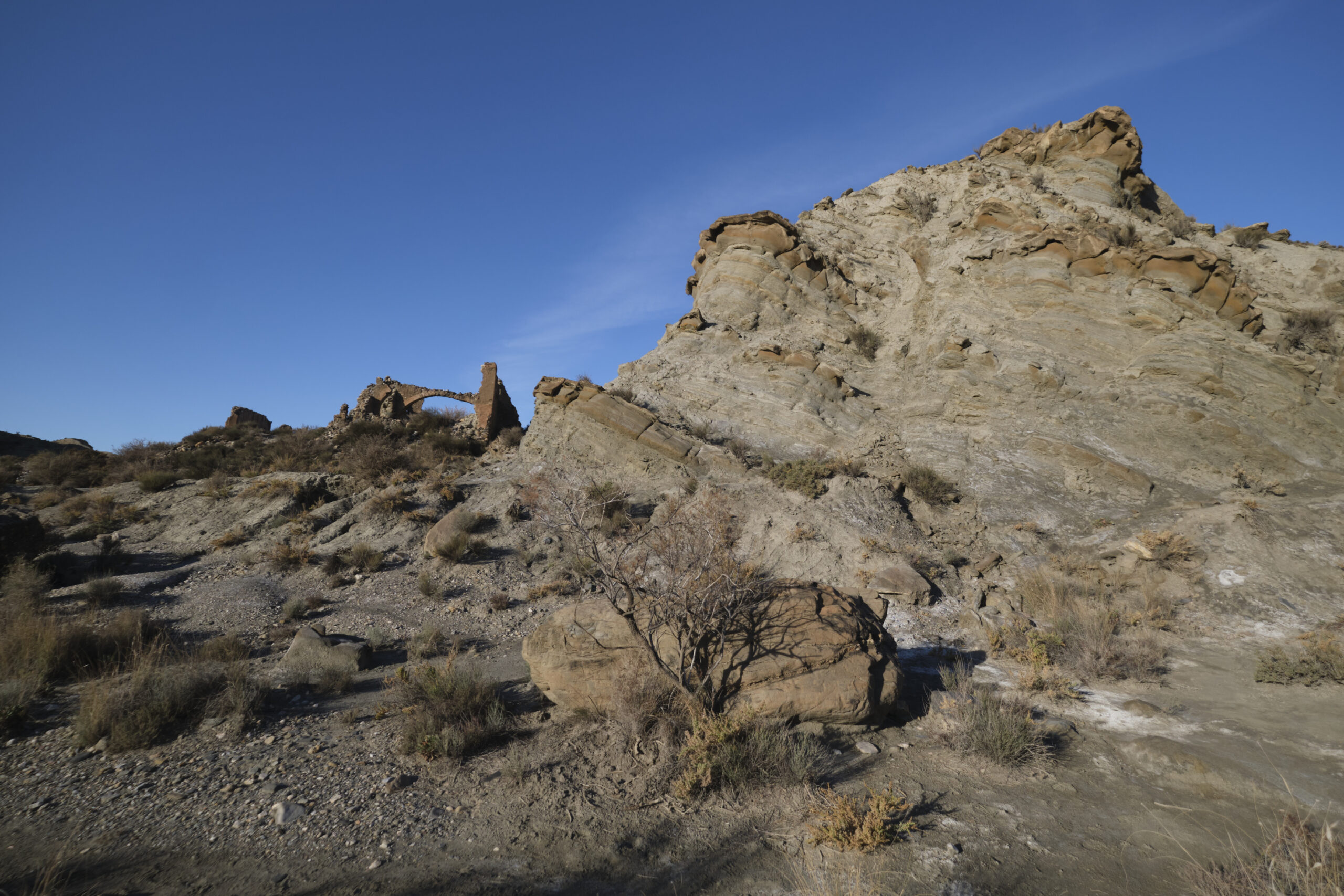
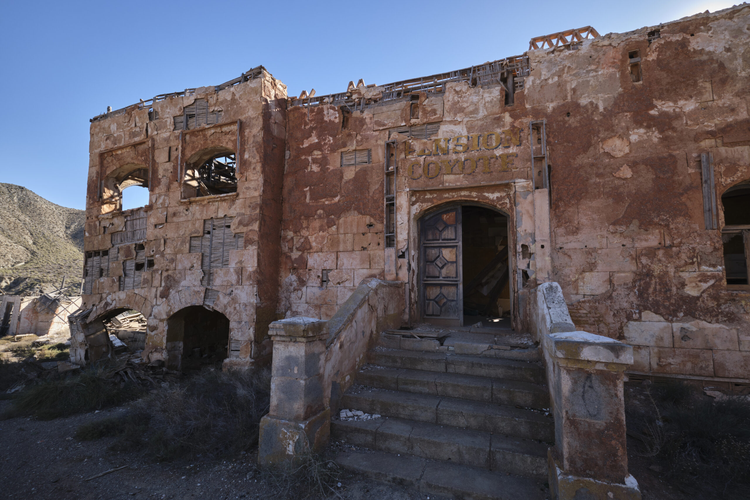
Almost at the end of the canyon, you come across a track which climbs up to the left, heading back south. Follow it to reach the more or less flat canyon rim. Off-trail, you can then follow the canyon rim in the opposite direction to where you just passed, but with interesting plunging views. Eventually find the main trail leading to the village of El Condor, a ruined former movie set with saloon and gallows. Then pick up the trail again and, just in front of the Western Sergio Leone Park, turn left to find the bottom of the Verdelecho arroyo and return to where we started this optional loop, at Llan del Duque.
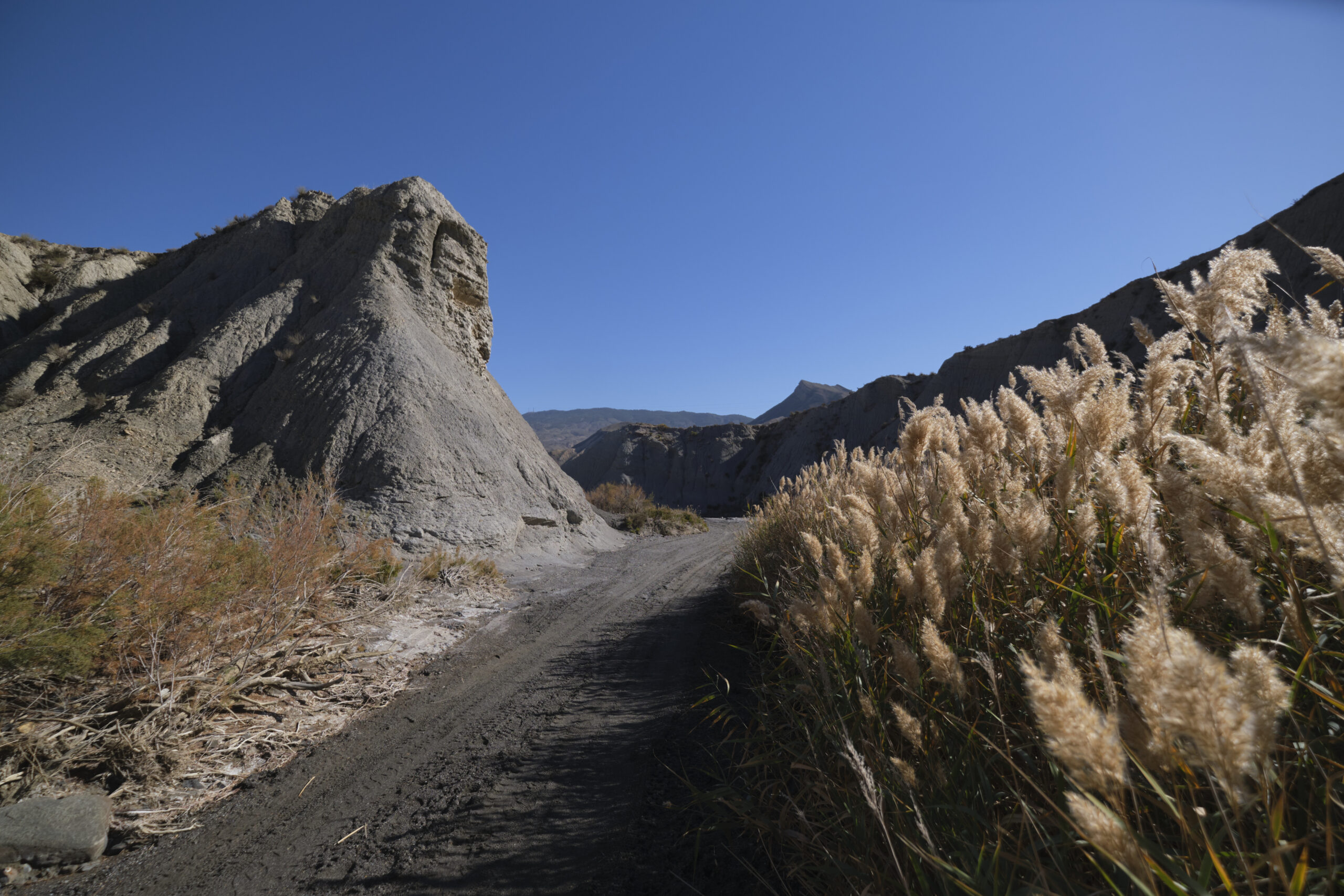
To finish the 1st part, simply follow the arroyo bed further south and after a few bends return to the bed of the rambla de Tabernas, continue south, pass under the N340-A bridge and further on find a path to climb up to the road at the eastern traffic circle of the A92 towards Tabernas. To get to the 2nd part, walk around the traffic circle, under the A92 and then around the West traffic circle, leaving it quickly by heading off-trail to the West.
Part 2: Southern circuit
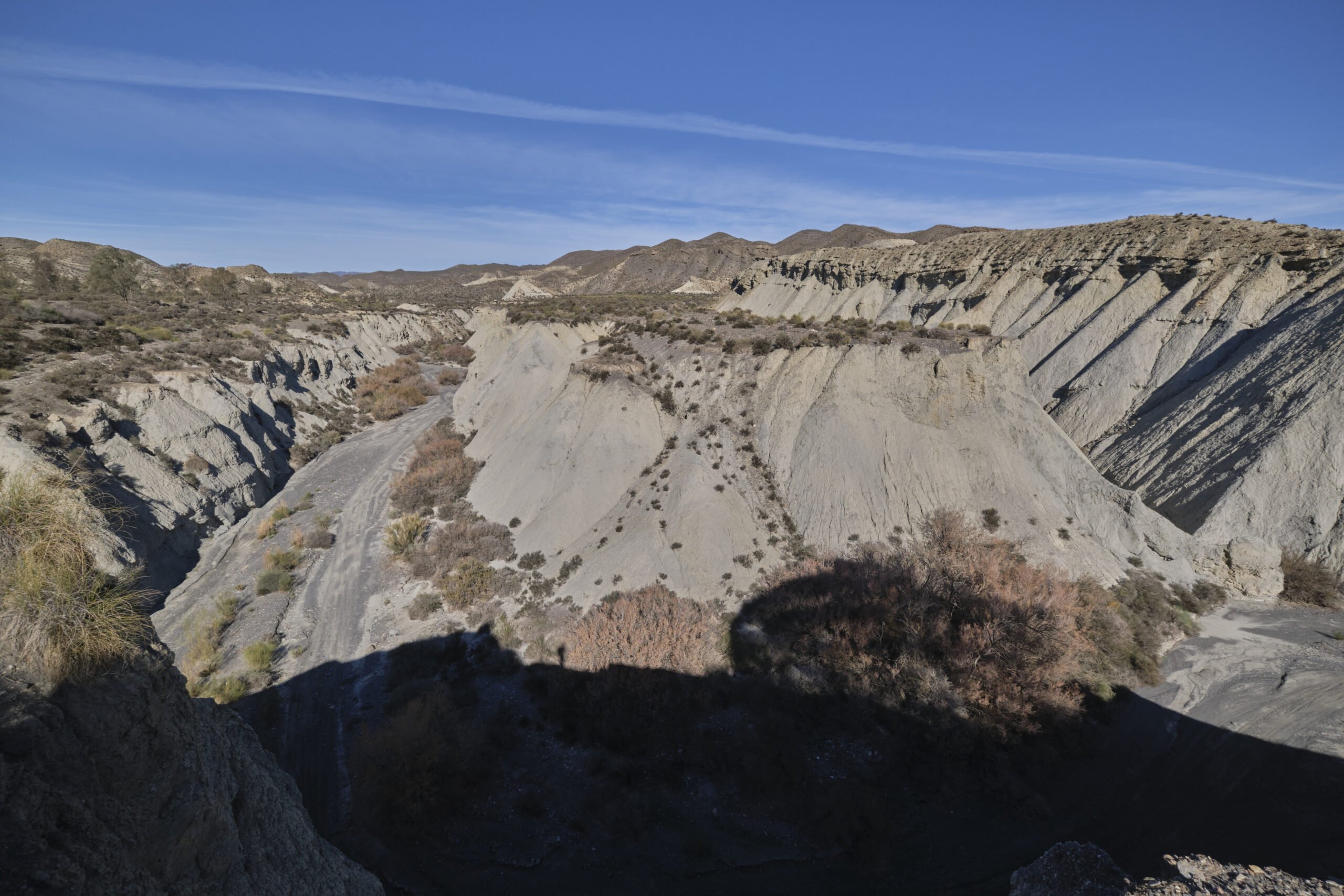
This second part offers different, more spectacular scenery, with more varied geological formations, richer vegetation and perhaps more distance from the roads. There is a first loop to the west of the A92 and a return to the start parking lot via the east side of the A92, with an option to stray from the classic route by exploring the barranco del Cautivo.
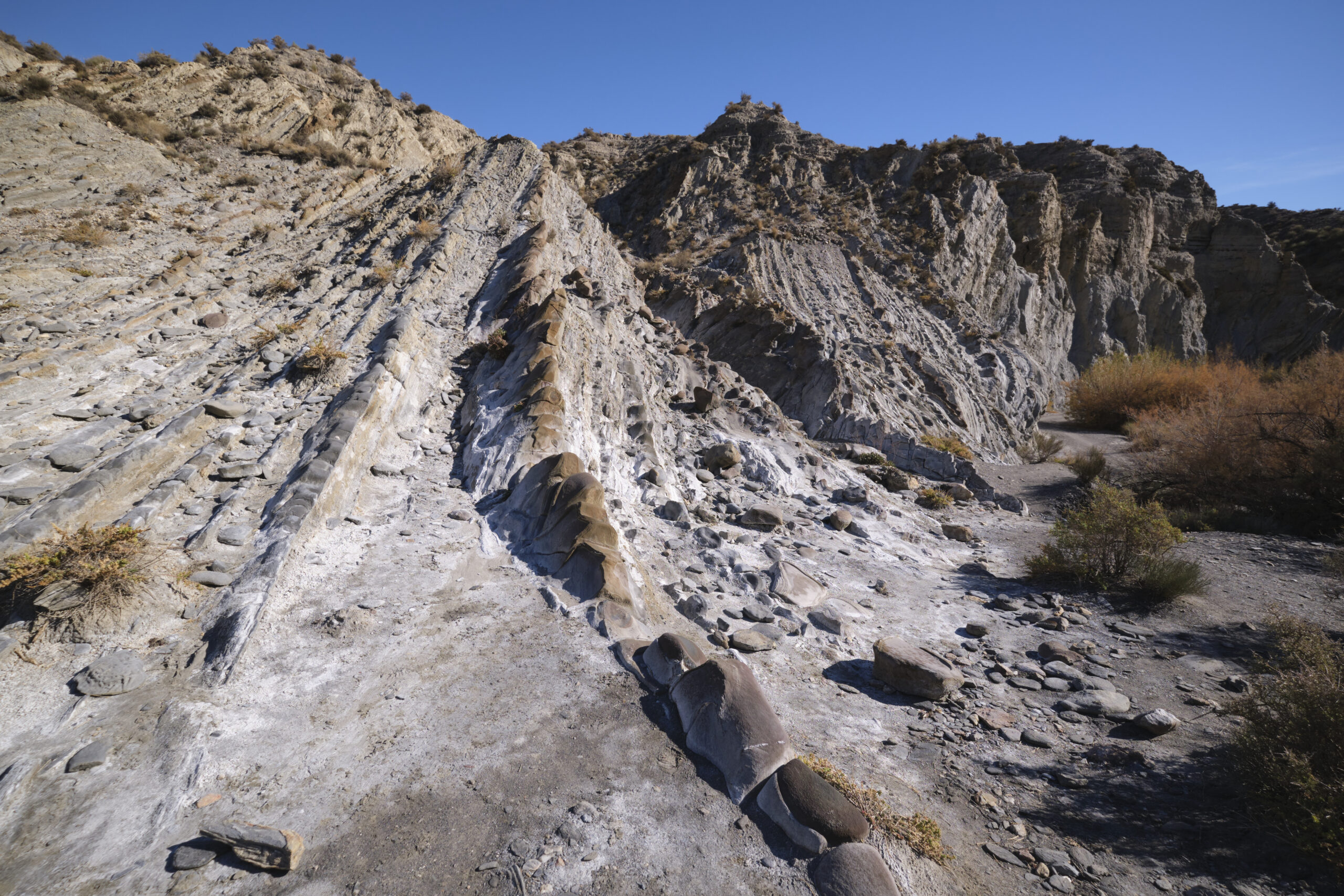
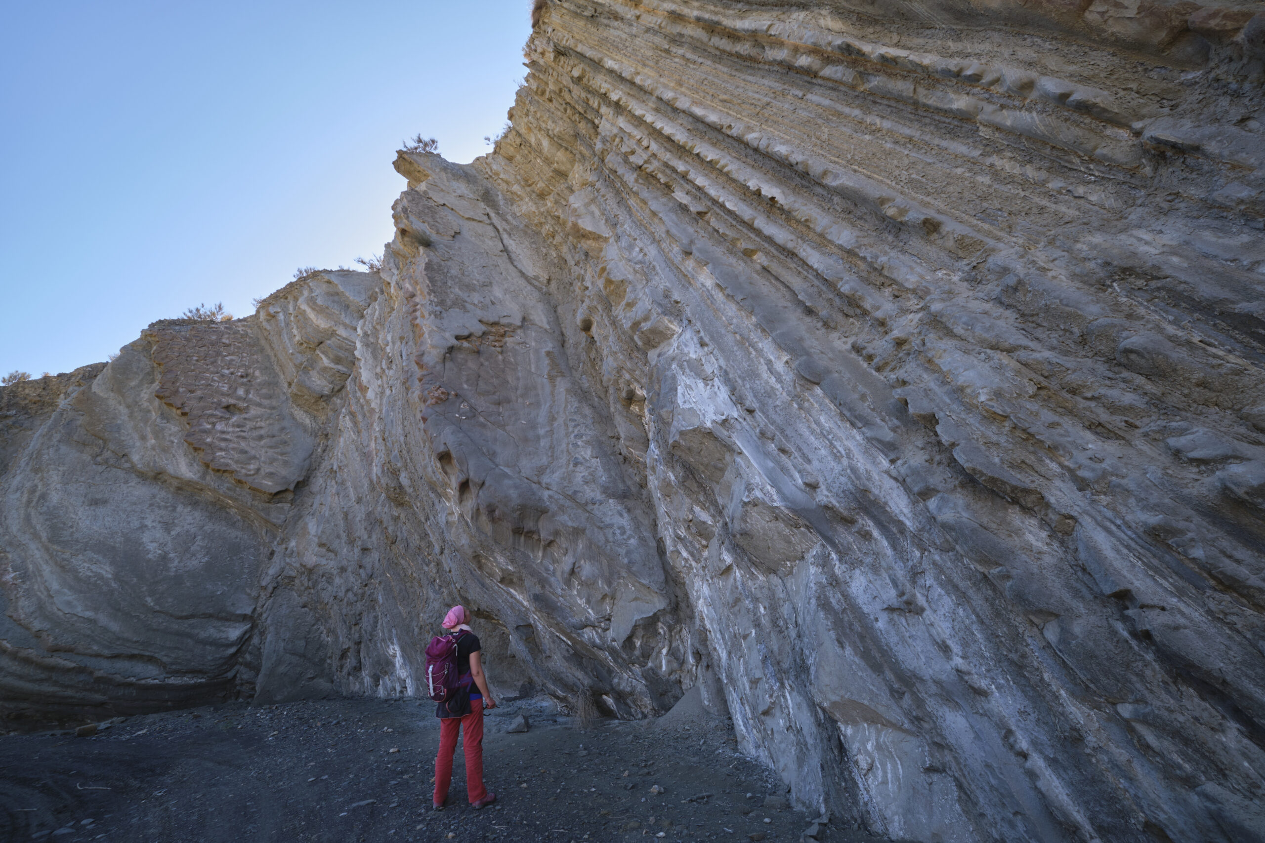
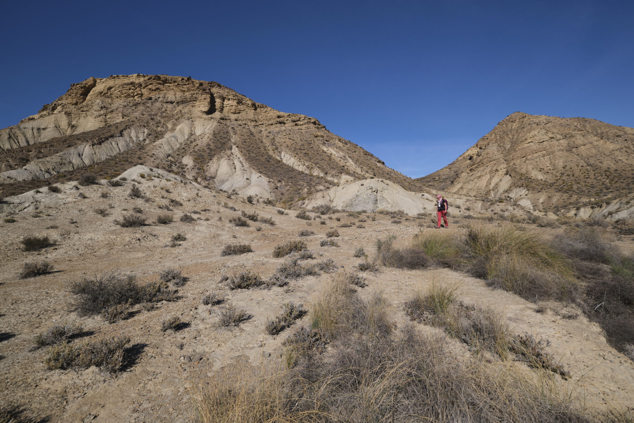
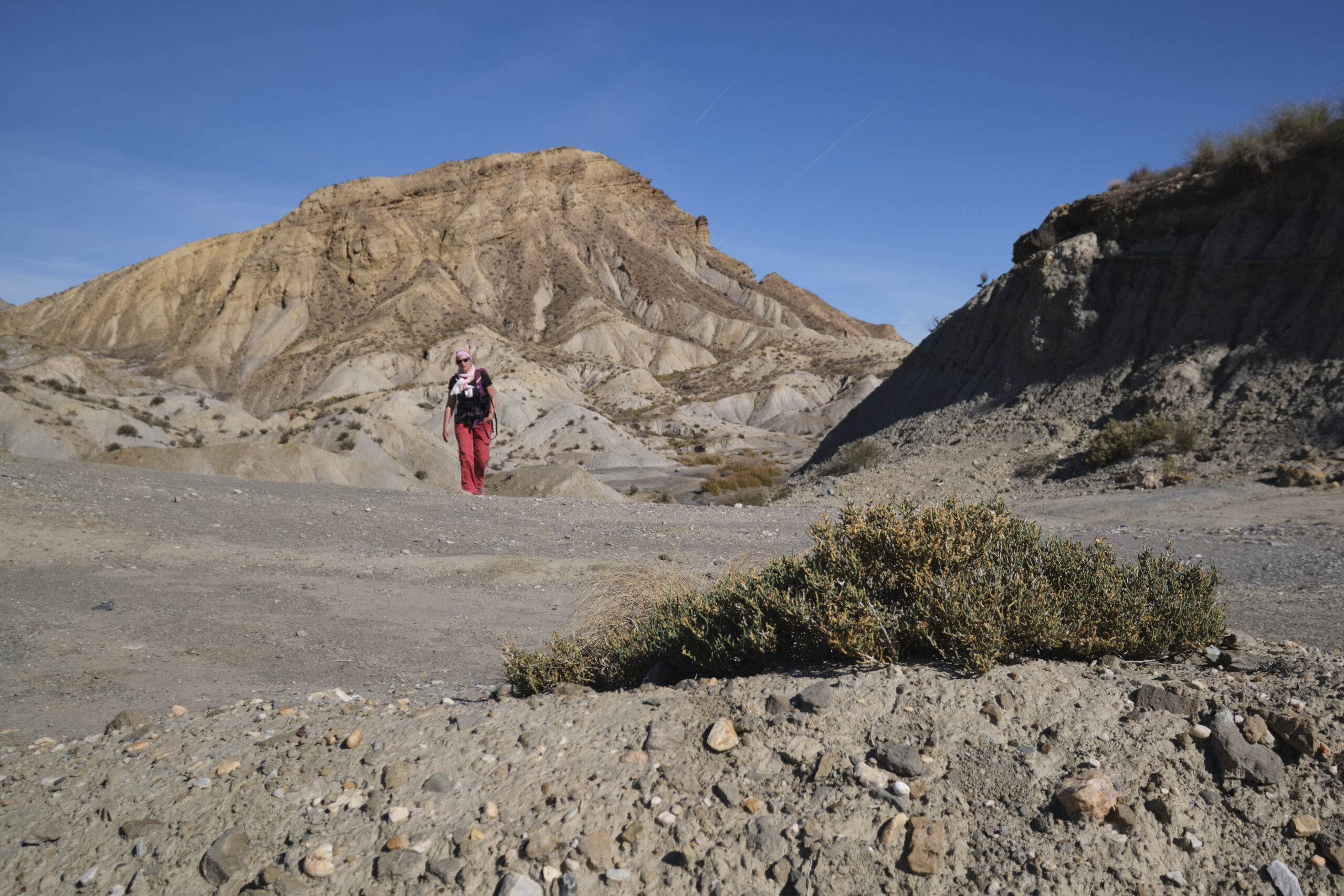
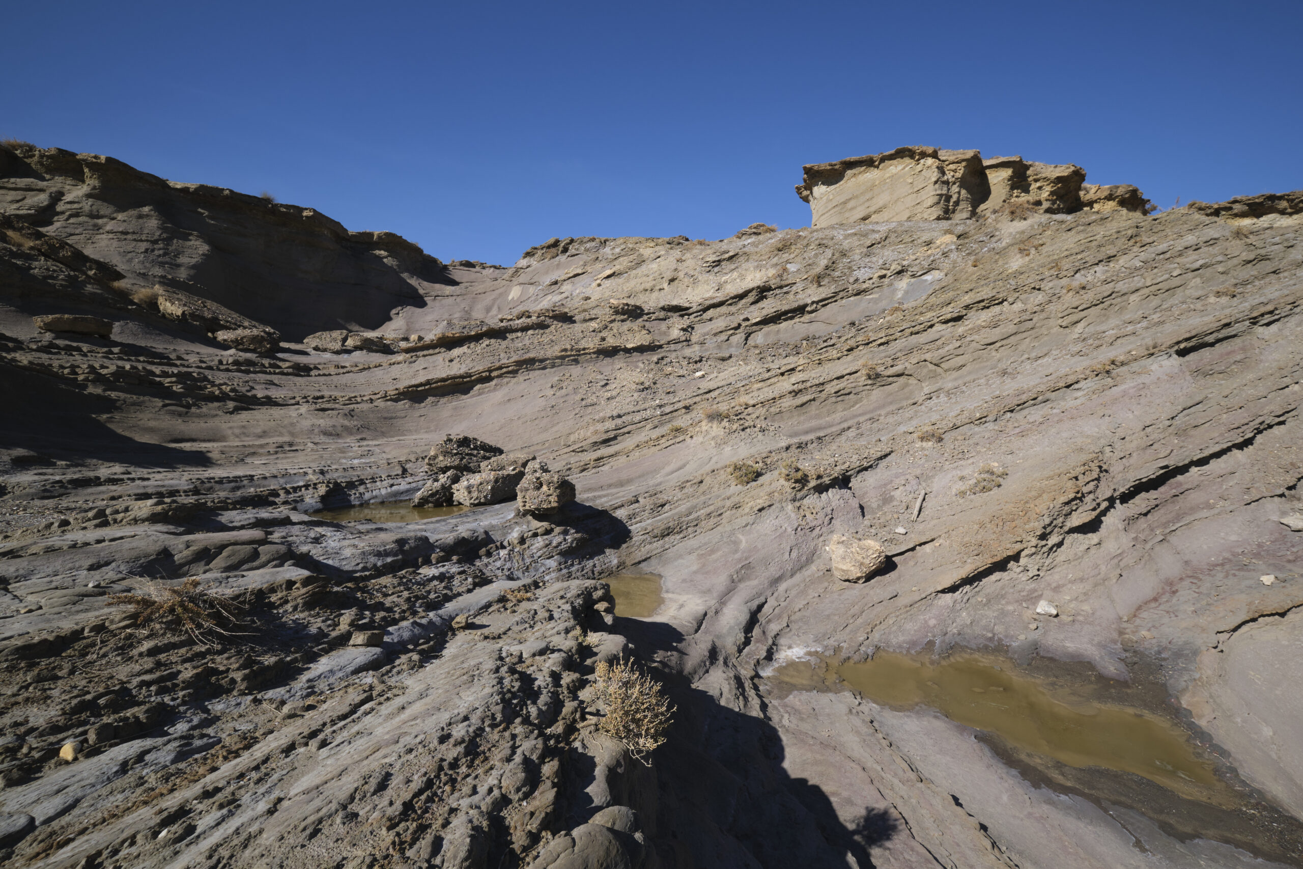
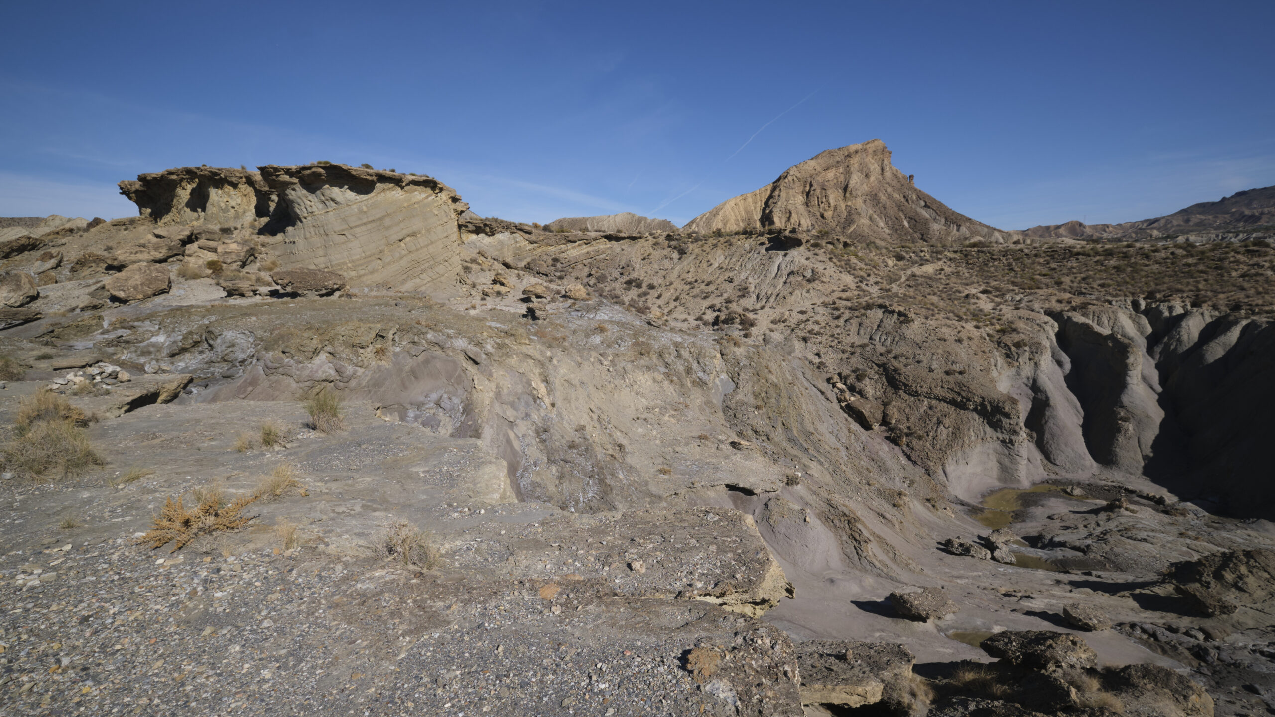
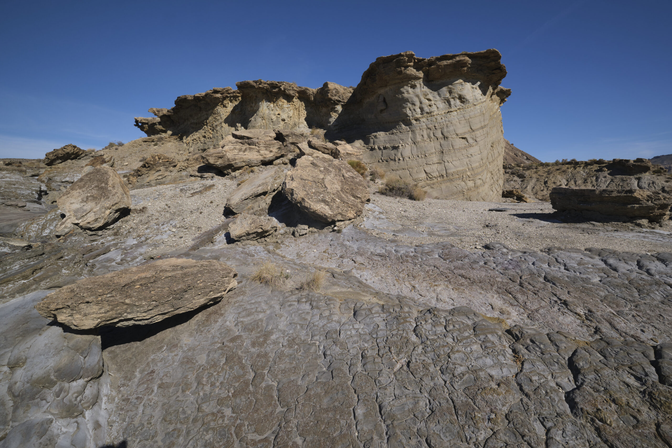
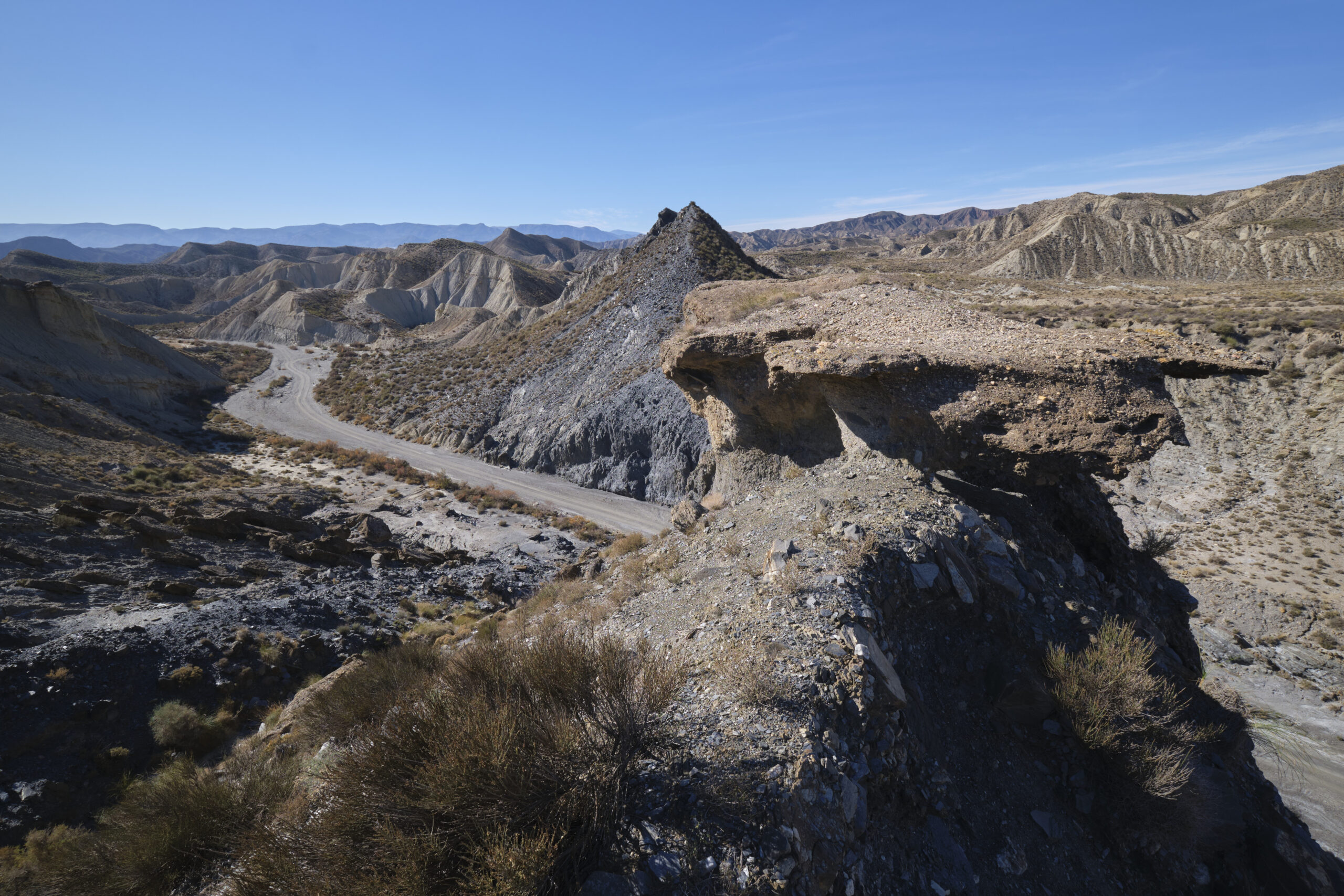
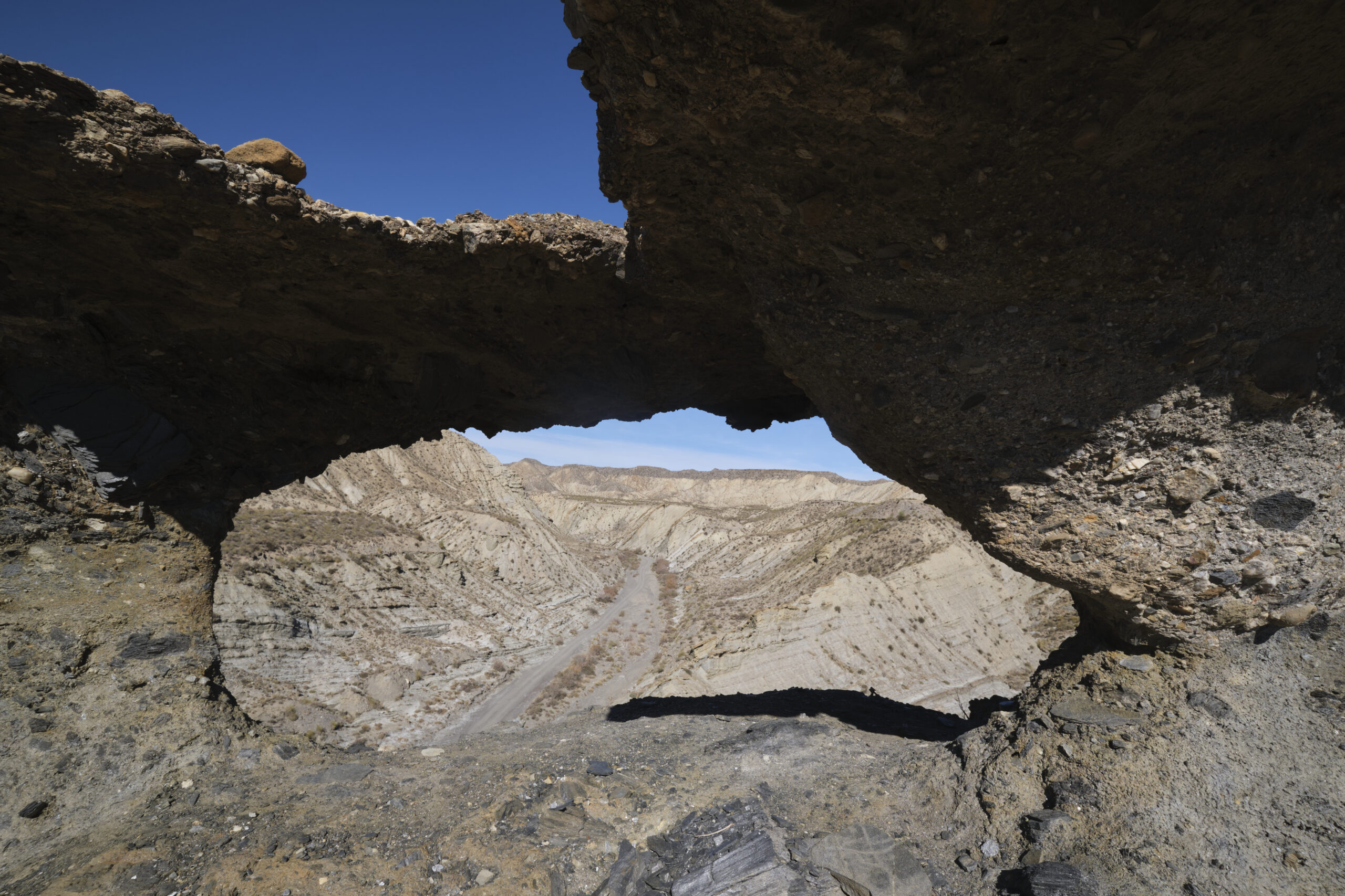
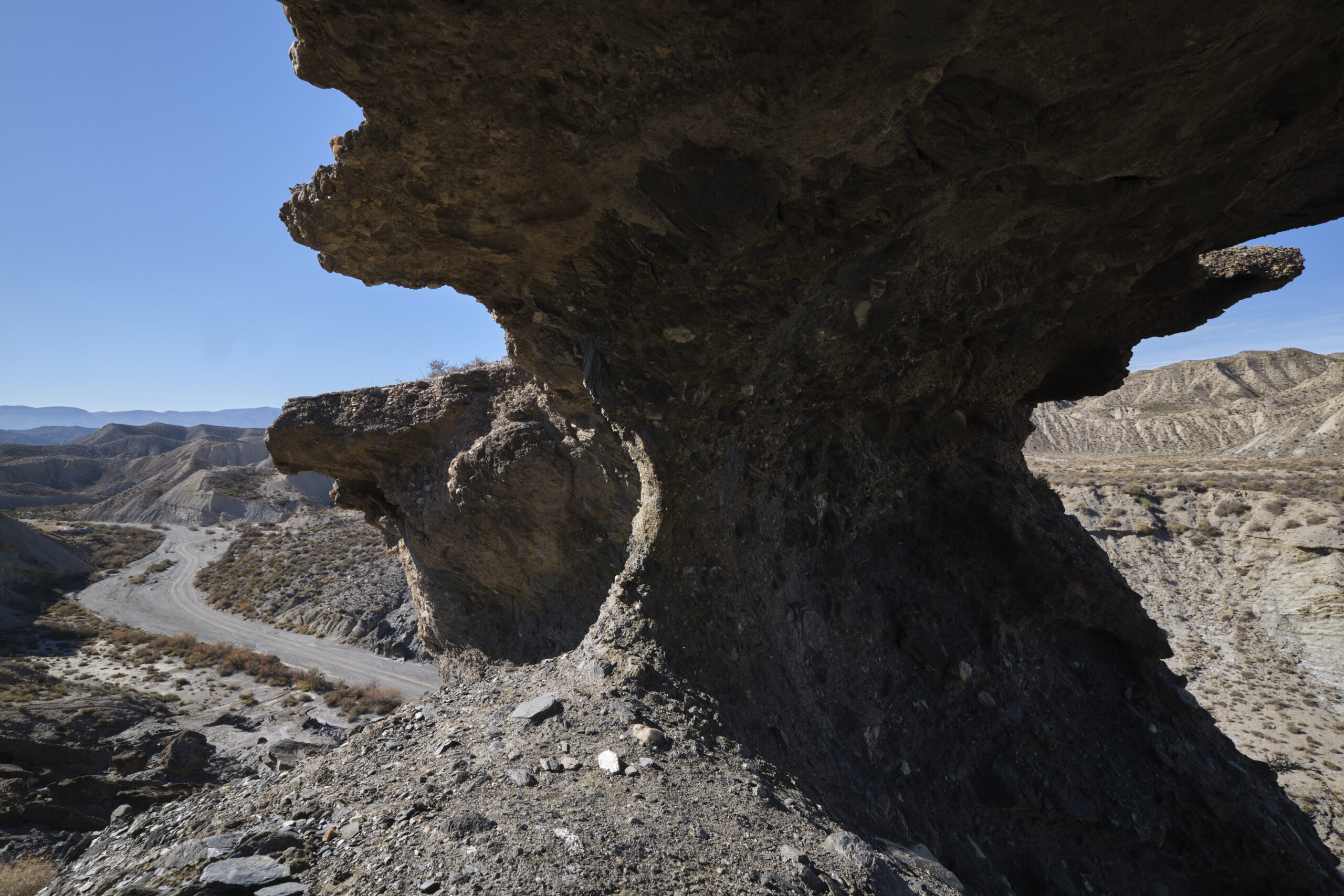
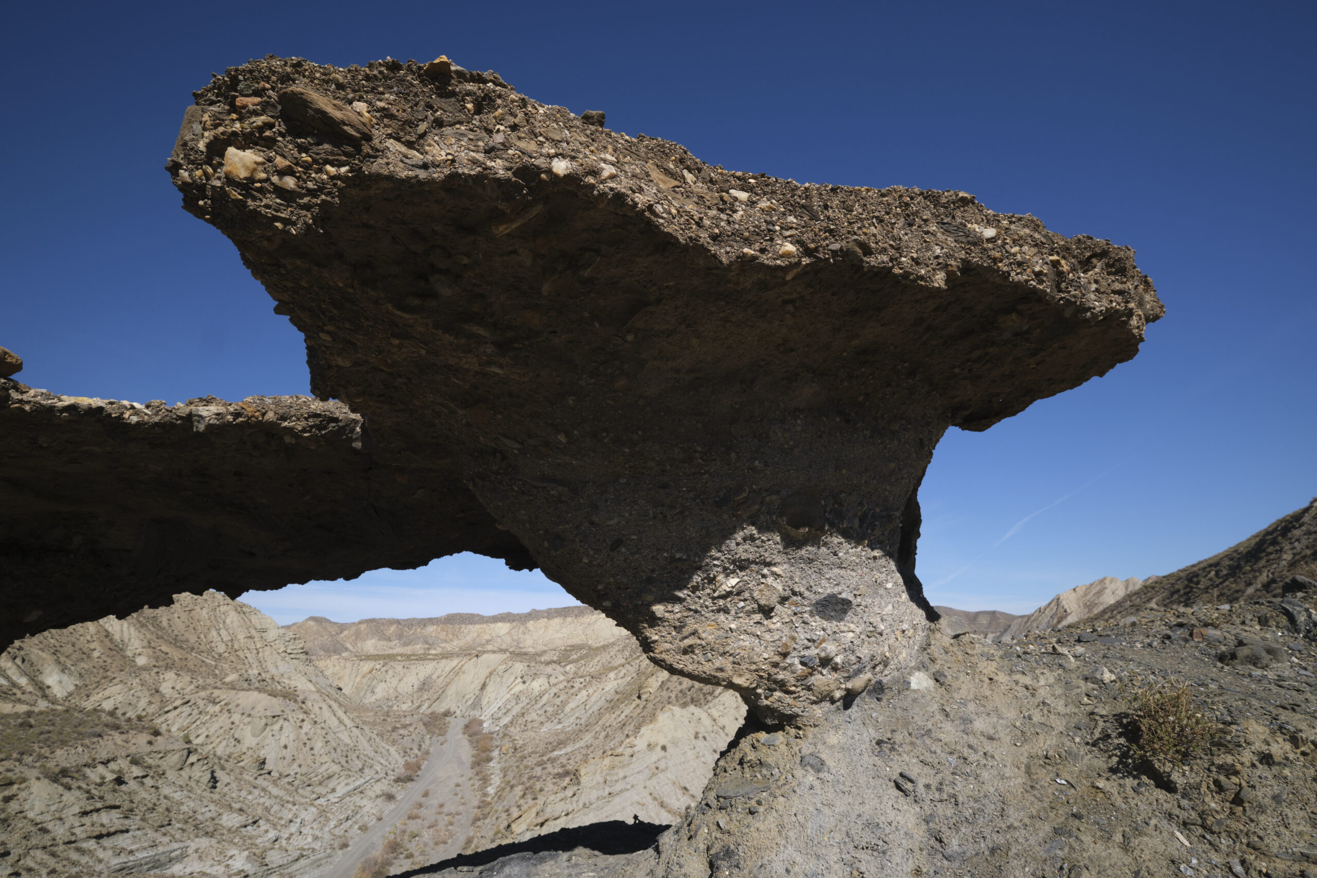
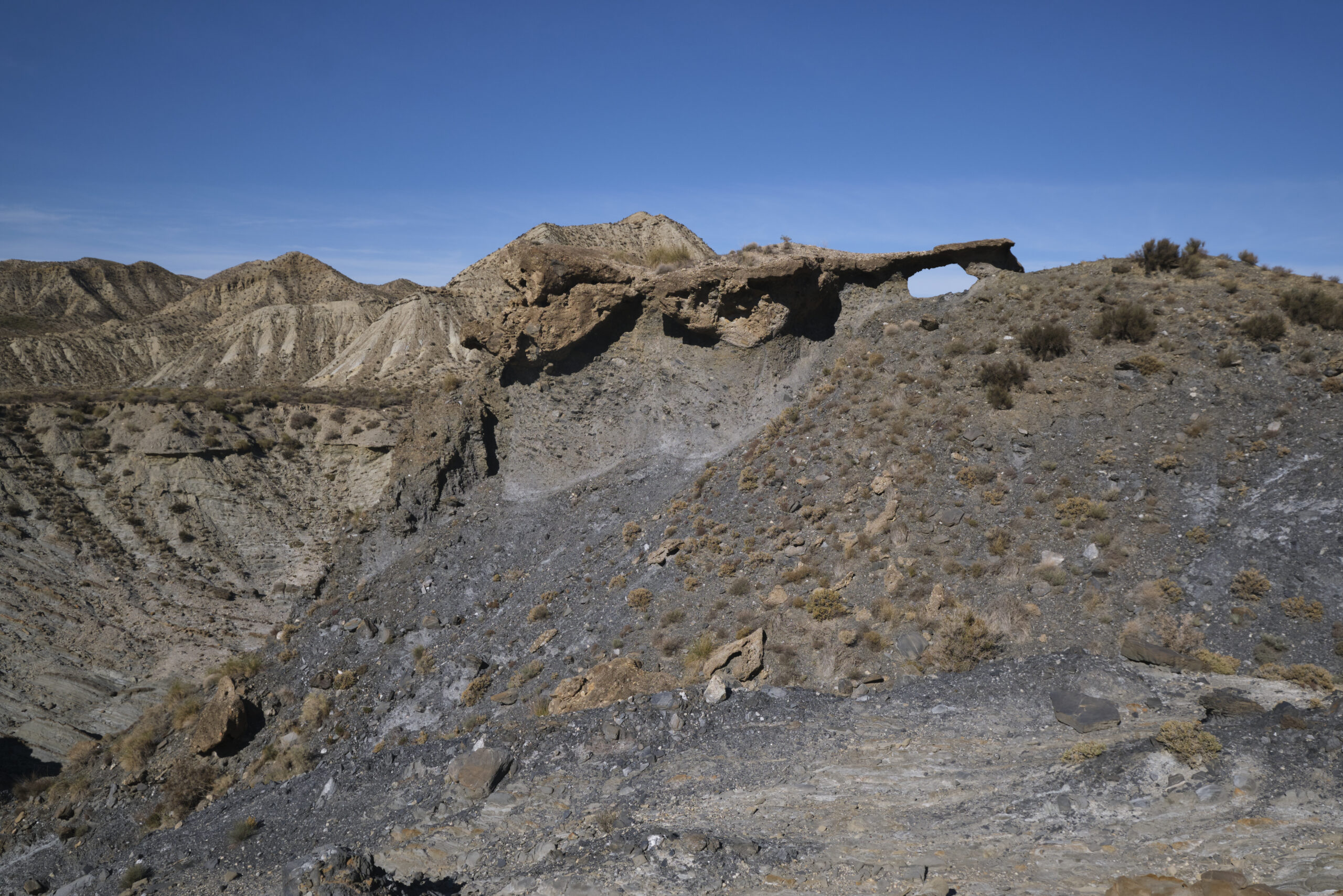
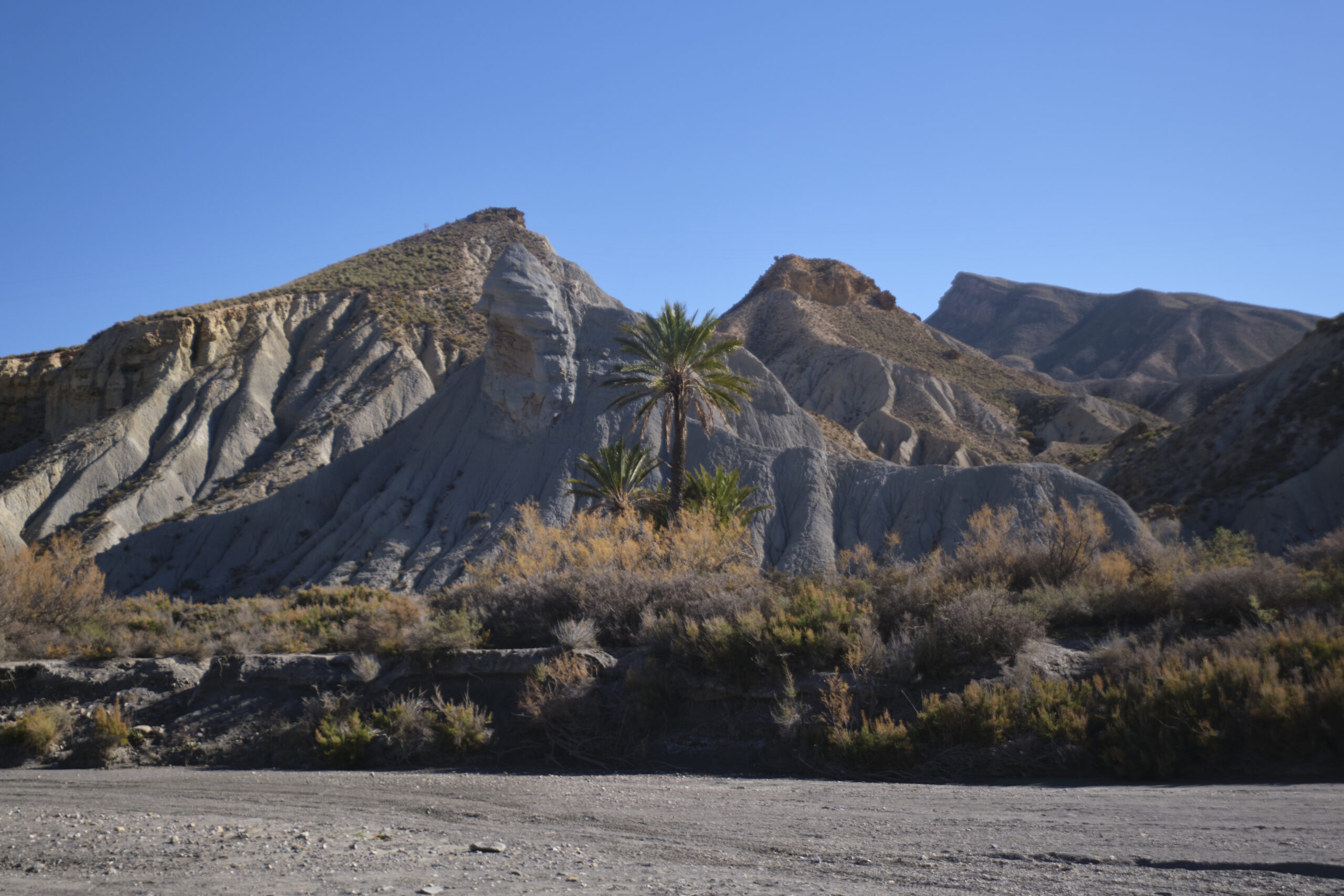
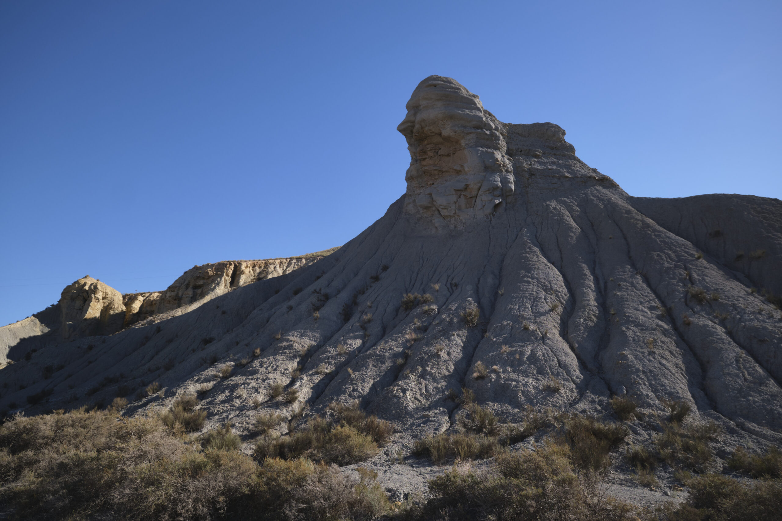
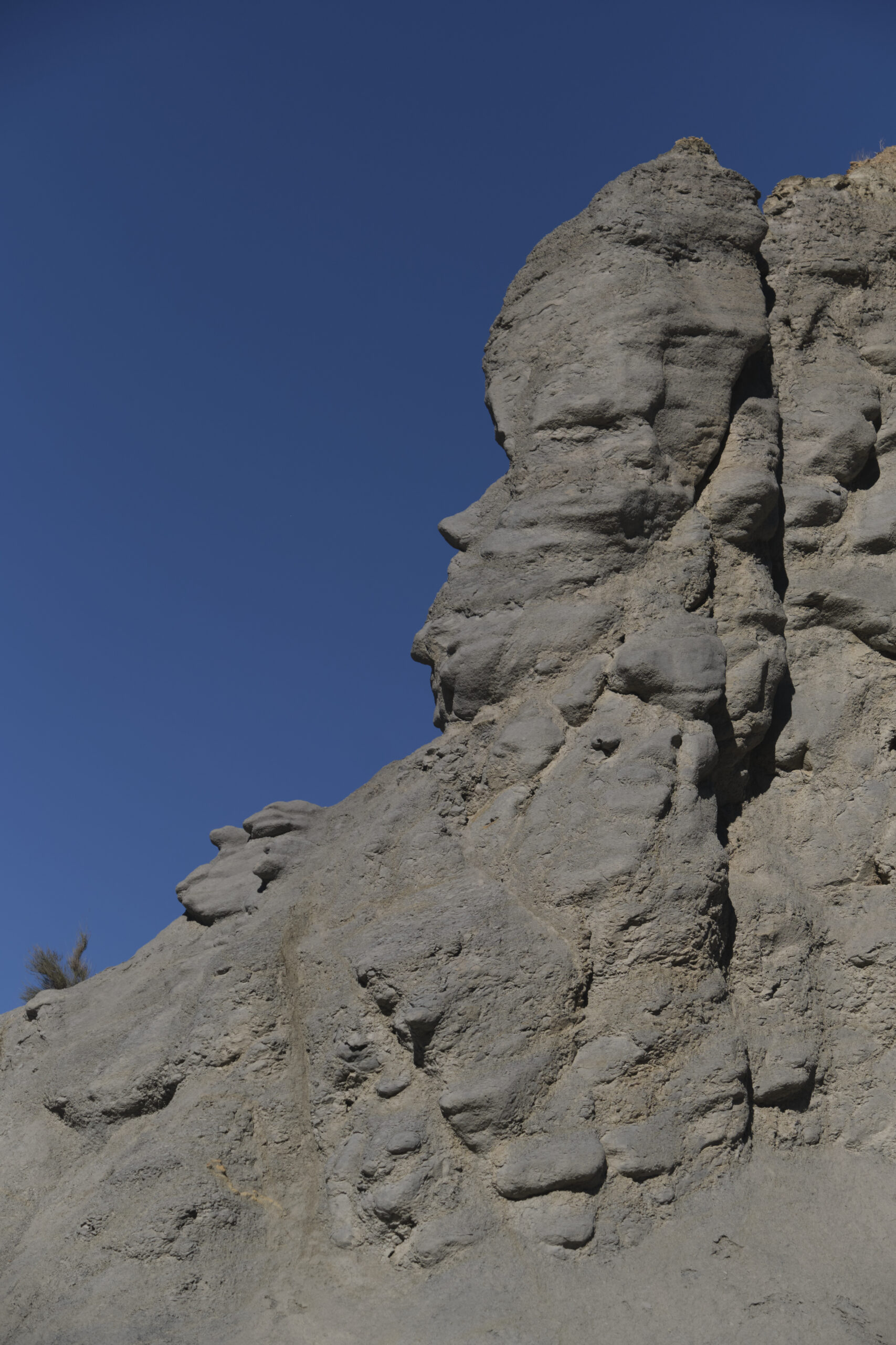
Once you've crossed over to the west and exited the traffic circle, improvise a path to join the footpath that passes close to the petrol station. Follow it across a wide grey flat where you can see white streaks of salt (?), then descend into a small canyon as you leave the main track. Climb up the dry torrent bed between strange geological formations, climb the upper spurs easily and reach the plateau above, behind a huge mushroom carved into the rock.
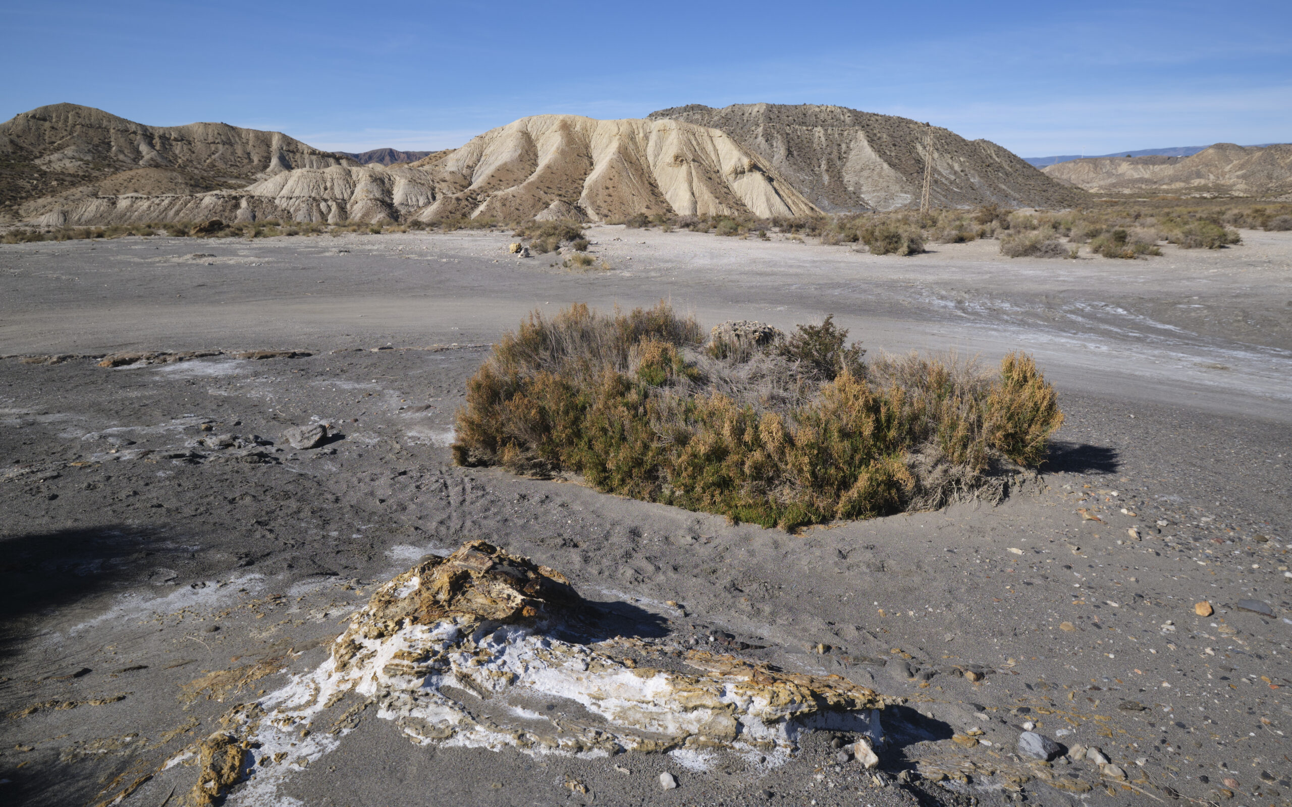
Cross the plateau towards a mountain that forms a slope of distinctive yellow-orange dunes. Pass behind it and follow a path up to a small pass which takes you to the opposite slope. At this point, on the right, there's a small gap in the rock formations, from which the views over the Lanujar rambla are superb. After the small pass, follow the earthy ramp down to the bed of the rambla de Lanujar.
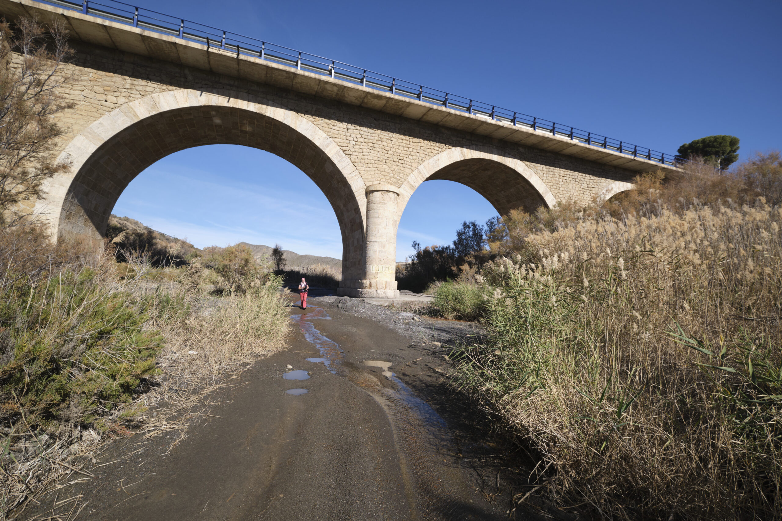
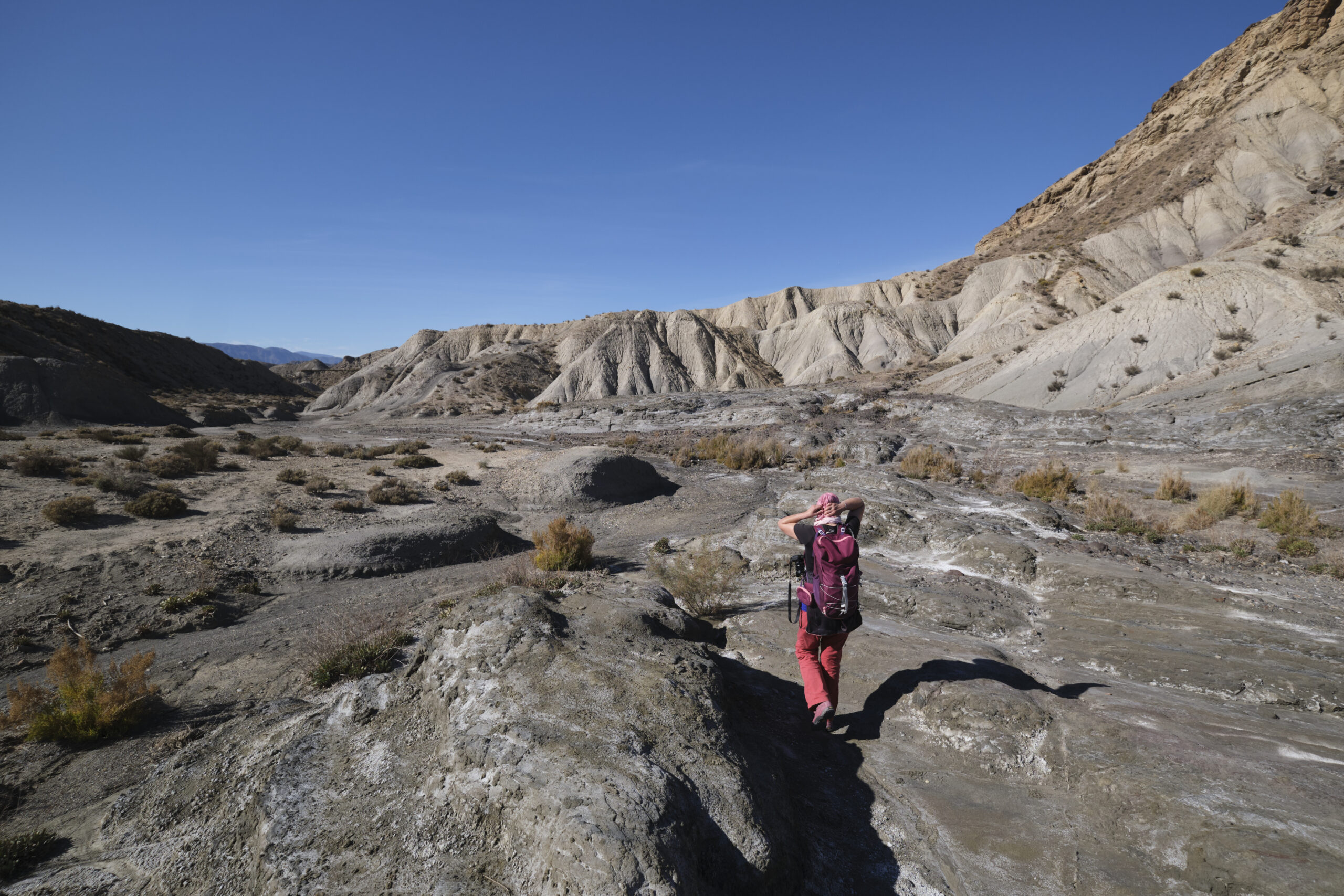
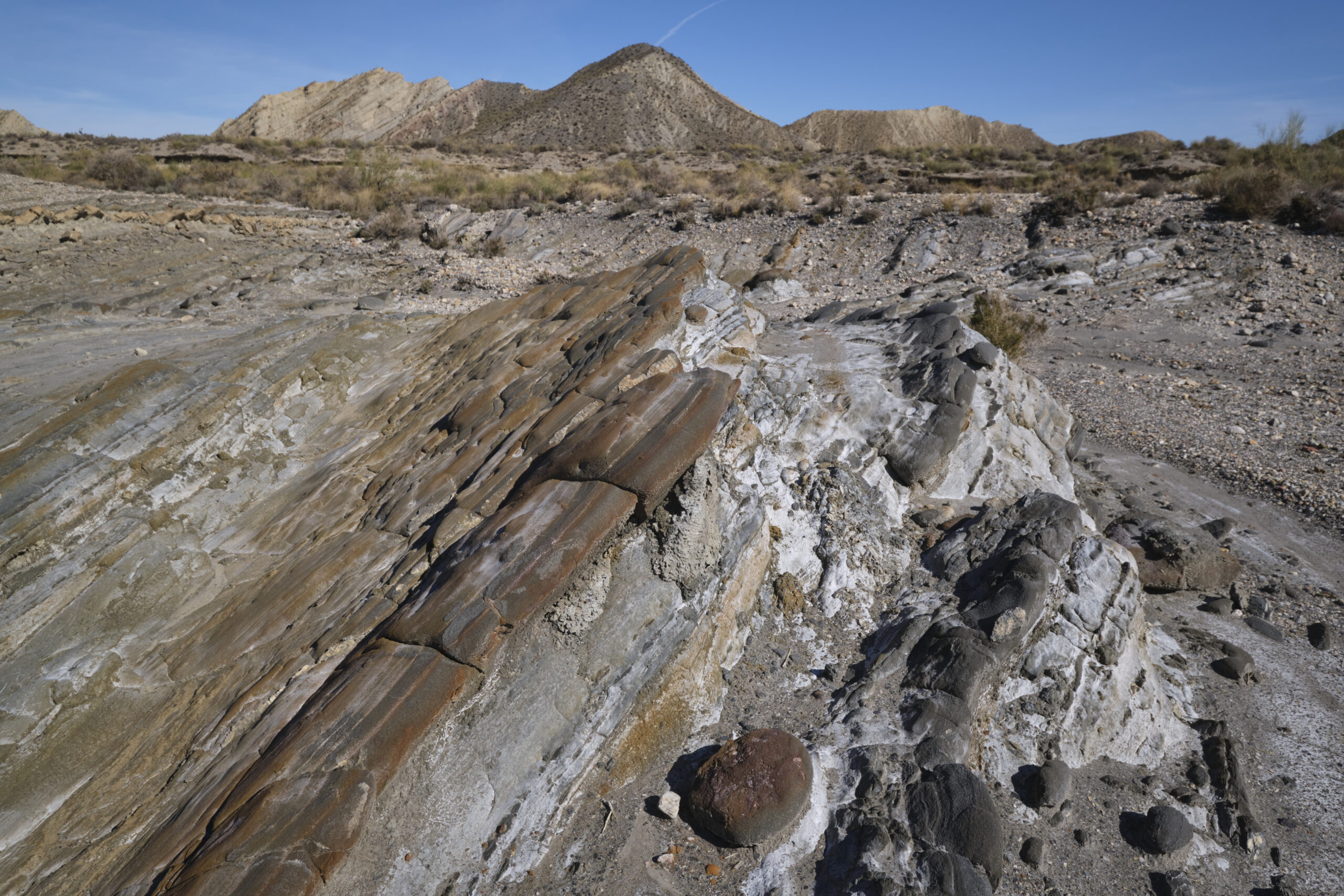
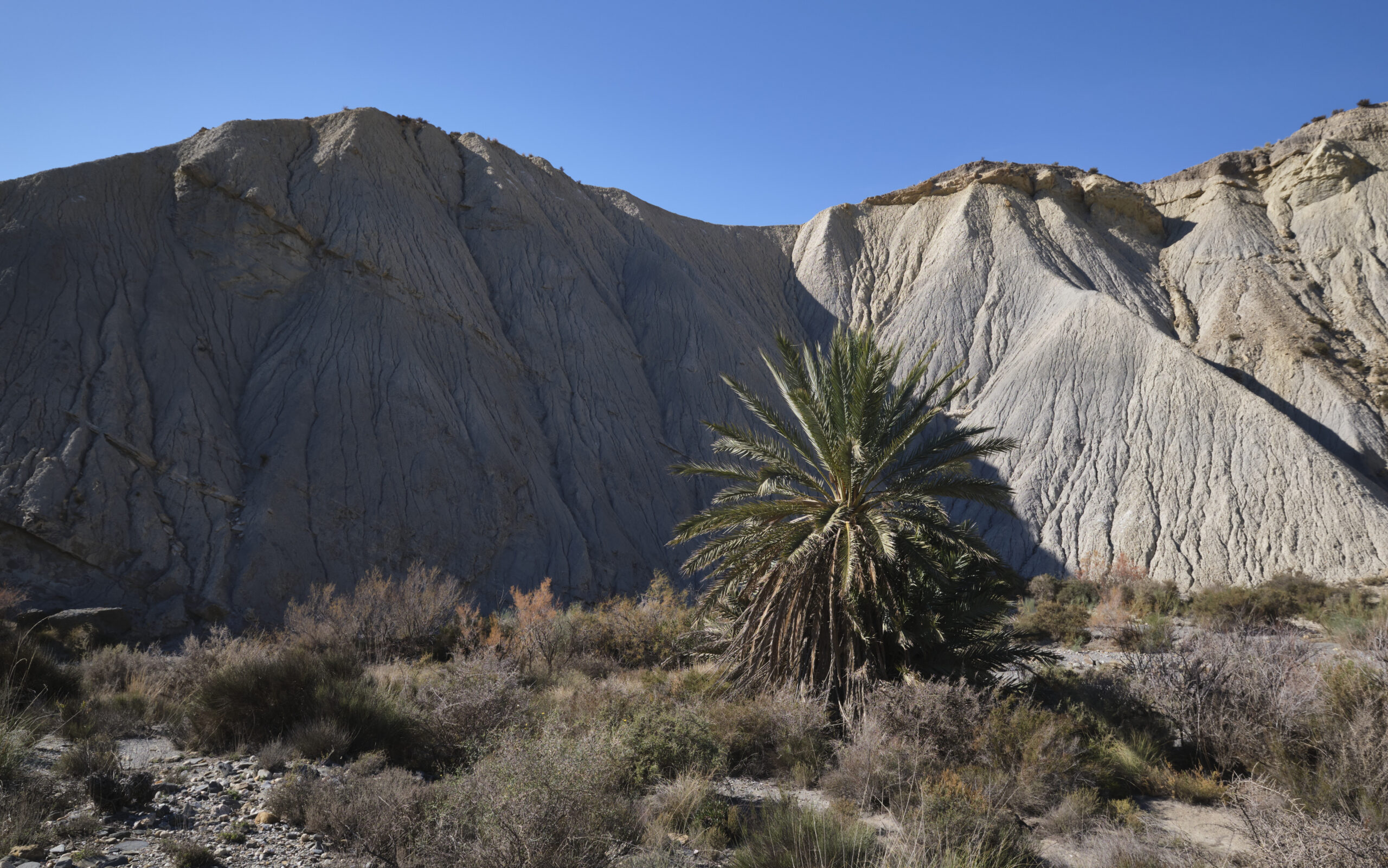
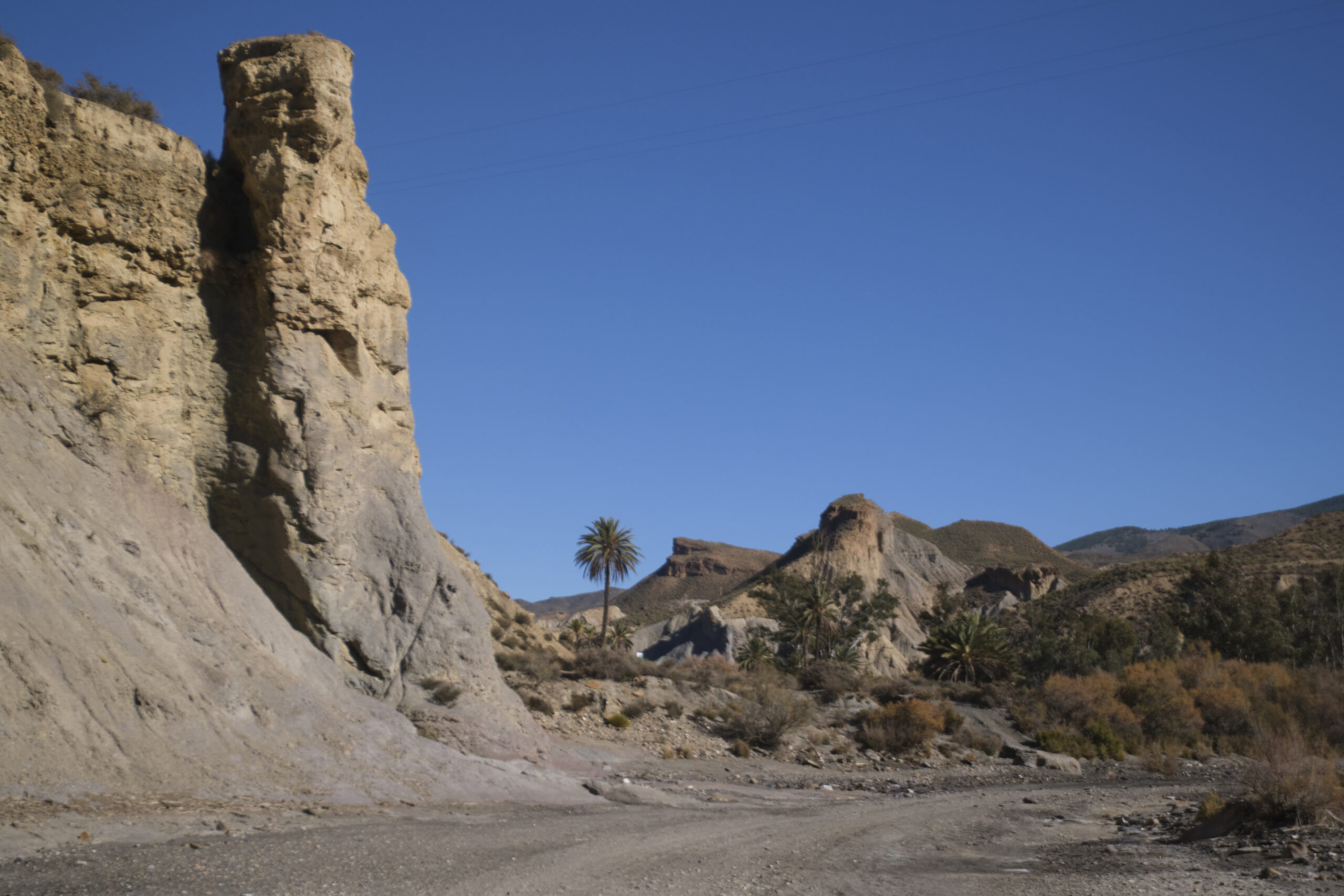
Once in the rambla de Lanujar, head south, following the torrent bed as it meanders between variously shaped cliffs, to join the rambla de Tabernas near a double bridge under the A92 and N340-A. Pass under the bridges and follow the rambla de Tabernas, this time heading north.
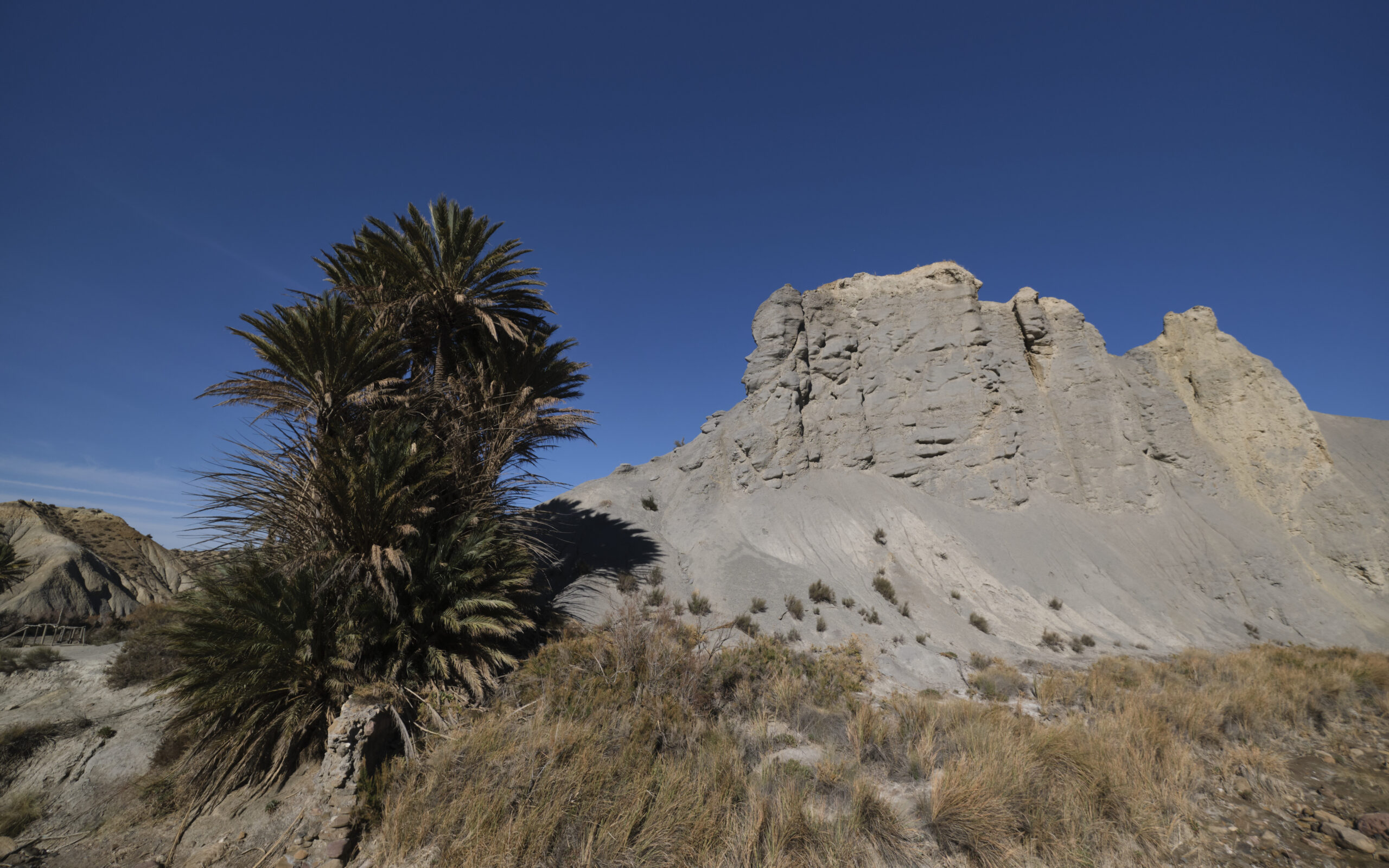
Further on, the path following the meandering rambla makes a sharp right-hand curve, but you can cross the central area known as the Laurence d'Arabie Oasis. On the other side, it's possible to continue along the main bed of the rambla, ending up at the end of the staircase built with logs to exit at the starting parking lot, in front of the Mini Holliwood Oasys Park.
Variant via the Barranco del Cautivo
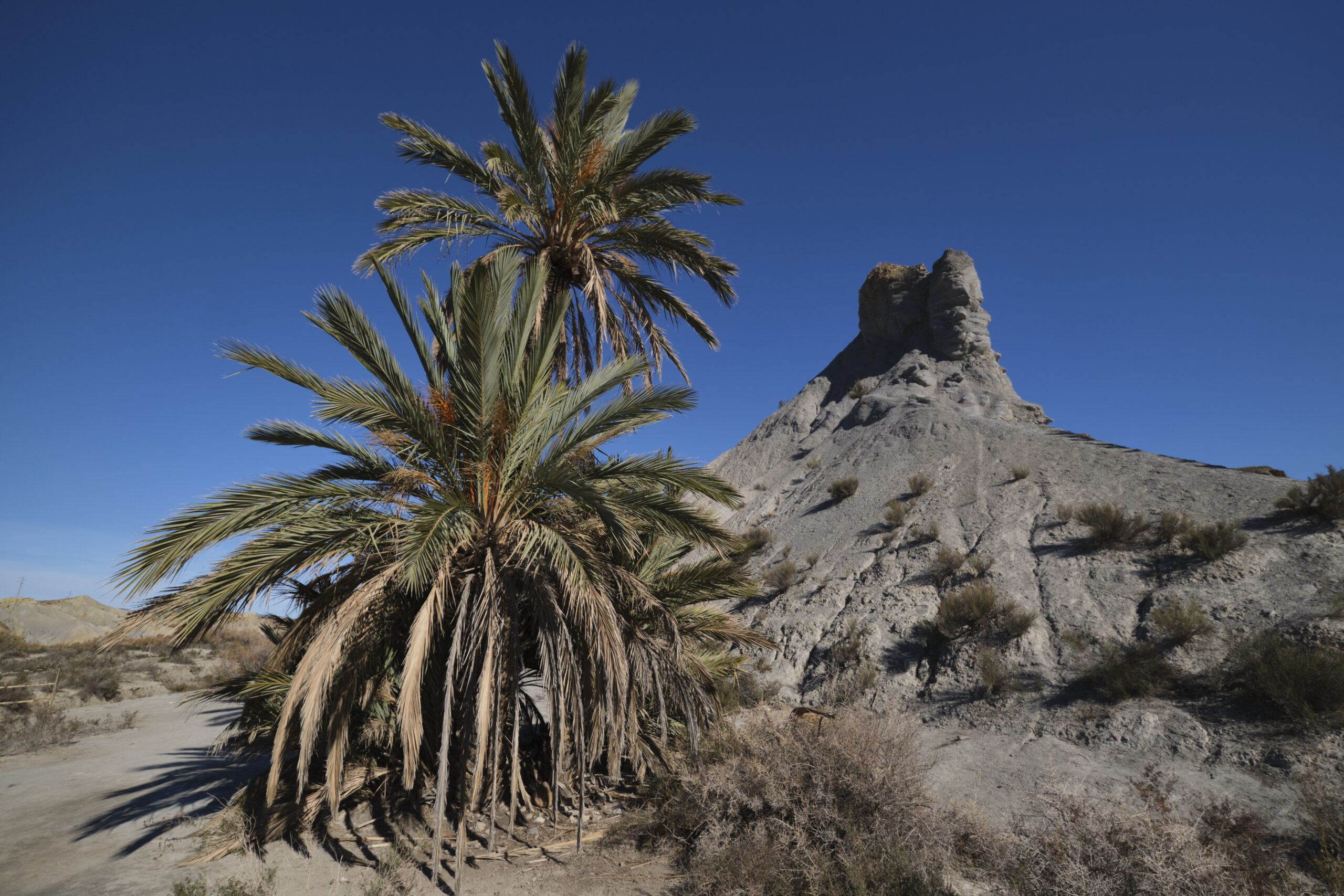
Another option is to cross a small wooden bridge under a large palm tree in front of a spectacular grey rock formation to reach the Barranco del Cautivo. Follow the grey rocky bar, pass it and climb under a large orange tower up a steep ravine and exit onto the ridge (tricky section). Descend smoothly on the other side to find a track to the right. It descends to the bottom of a small canyon, then climbs again, and after the last steep ascent, the track gets lost (place called Cautivo on the map).
To return to the official rambla de Tabernas circuit, head north, skirting the next canyon as it bends north-west and, as soon as possible, looking for the least steep and most accessible ravine to descend the slopes and reach the bottom of the canyon. We then come across a well-marked path that takes us back to the rambla de Tabernas.
At the end of the path, climb up a flight of steps made of logs to exit at the parking area in front of the Mini Holliwood Oasys Park.
Montagne Sainte-Victoire, South-West circuit 10 February 2021 A sporty, almost alpine discovery of the Montagne Sainte-Victoire. This itinerary combines several trails and equipped passages…


 Partager sur WhatsApp
 Partager sur Twitter
Partager sur Instagram
Partager sur Twitter
Partager sur Instagram

 Partager sur Facebook
 Imprimer le topo
 Laisser un commentaire


Leave a Reply