


TOPO Hiking | CLIMBING7.COM
Publié le
 Partager sur WhatsApp
 Partager sur Twitter
Partager sur Instagram
Partager sur Twitter
Partager sur Instagram

 Partager sur Facebook
 Imprimer le topo
 Laisser un commentaire
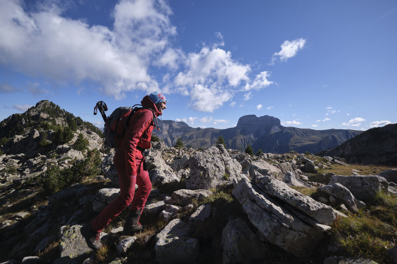
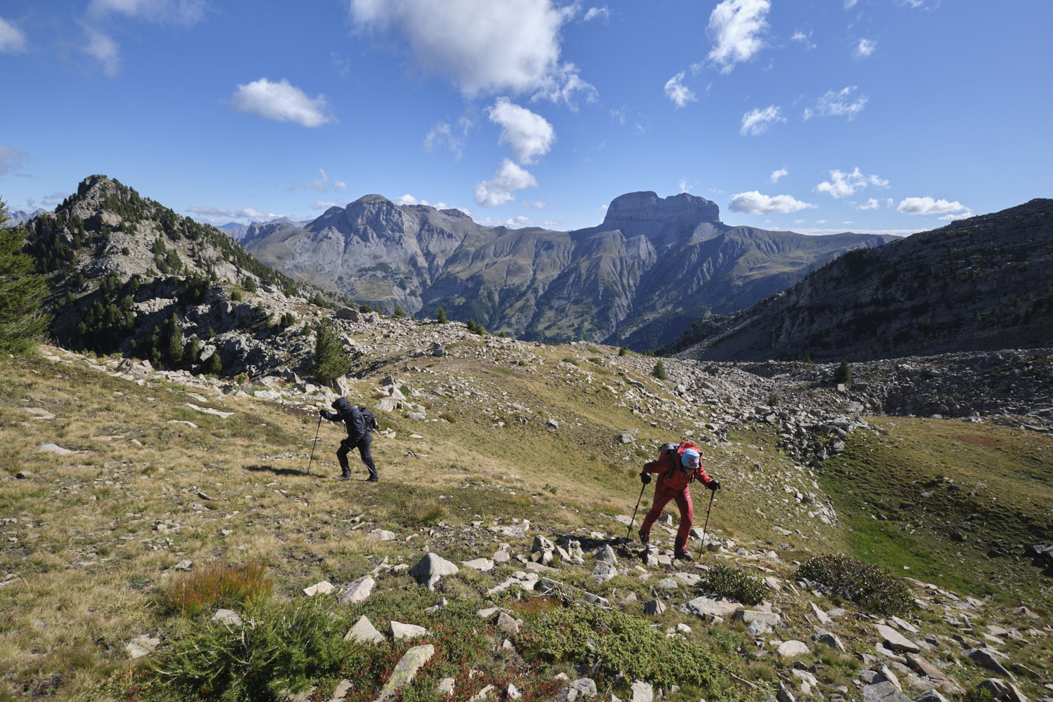
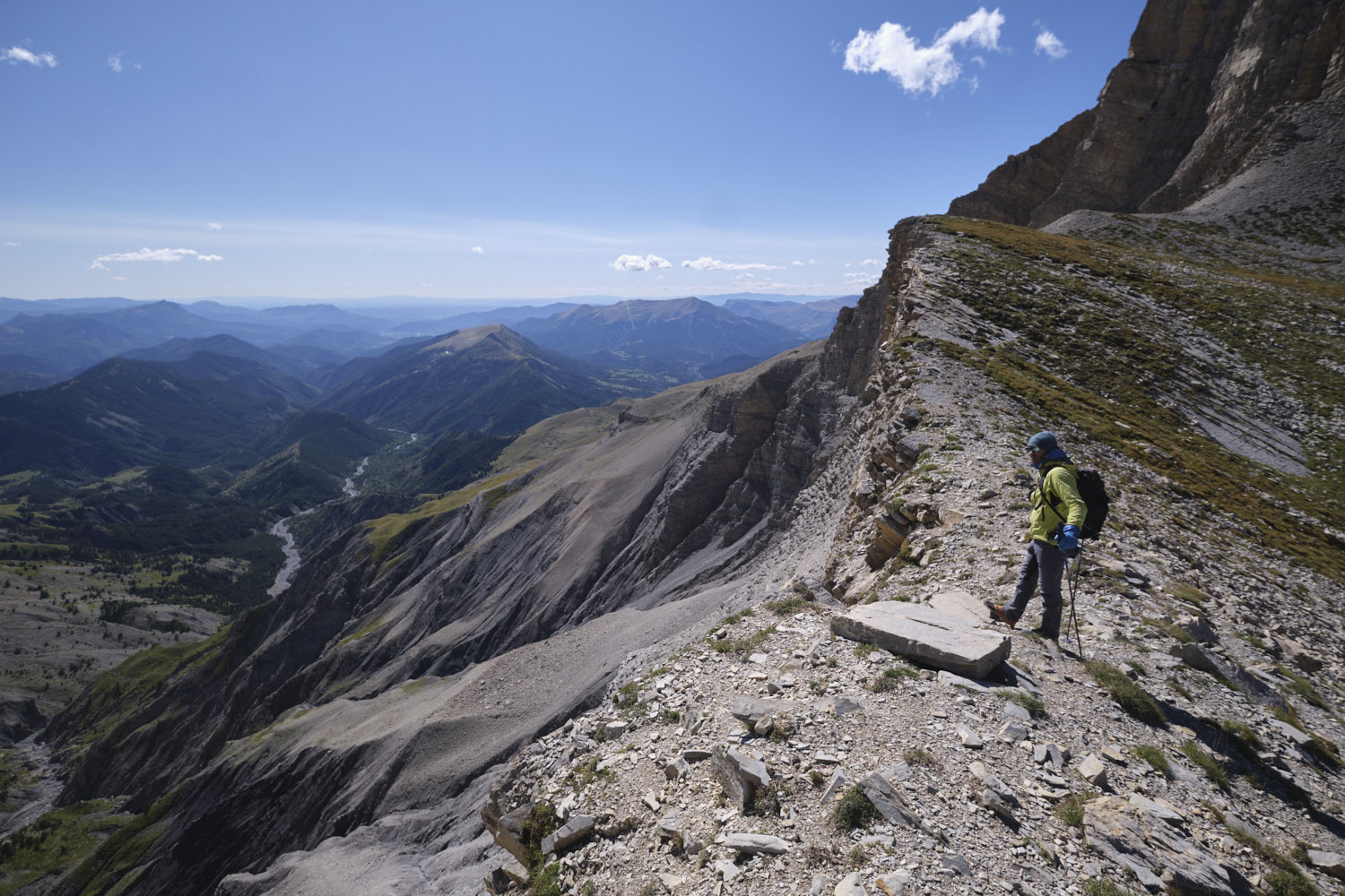
South of Lac de Serre-Ponçon, near the entrance to the Ubaye and Mercantour valleys, here's an original but fairly demanding route through the Vautreuil valley via the ridges that dominate it. The route takes in the northern part of the Tête de l'Estrop and Trois Évêchés massif, which is very mineral and rocky, with superb views over the Bléone valley to Digne-les-Bains. Much of the hike is off-piste, including the very steep and tricky climb to the pass between Tête de Balaour and Tête de Chabrière, the start of the crests. The rest of the hike is fairly straightforward, although you'll have to find your way around boulders and small bars, sometimes having to avoid them on the east or west sides. The ridge between Puy de la Sèche and Pas de Galèbre is very different, with a steep, airy south-facing slope.
❱❱ Technical summary
► Departure point: Méloans-Revel, Alpes-de-Haute-Provence (04)
► Type of route: high mountain loop hike
► Distance: 13 km
► Cumulative elevation gain: +1200 m
► Cumulative negative elevation gain: -1200 m
► Estimated total time: h to h
► Min and max altitude: 1760 m / 2750 m
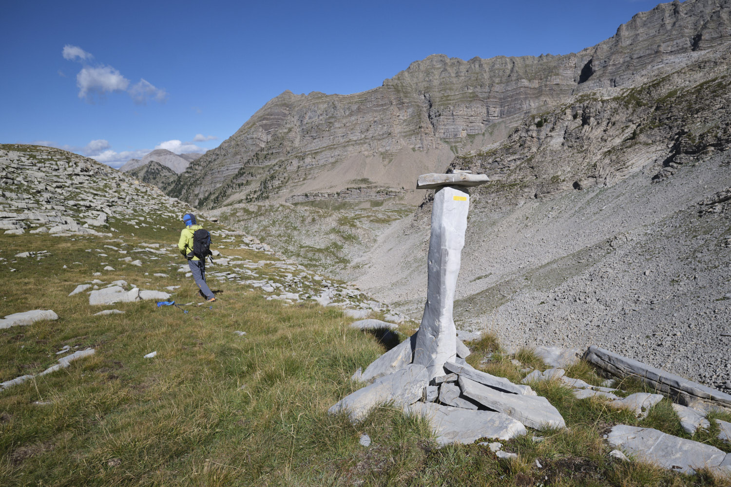
► Marking: yellow PR at the start and on the return after the Pas de Galèbre, off-marked path or totally off-path the rest of the route.
► Equipment in place: none
► Equipment required: none
Difficulties: the very steep, off-trail ascent to the pass before the Tête de Chabrière, some climbing (II+) on the ridge to the Col de Vautreuil.
❱❱ Access to the place
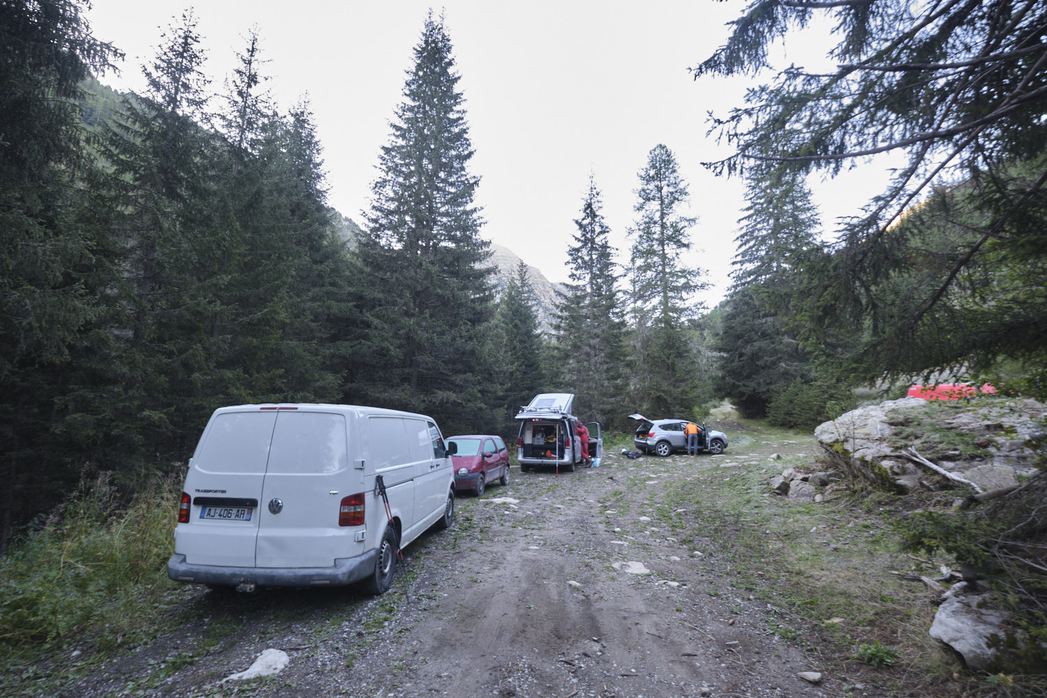
On the D900 between Le Lauzet-Ubaye and Méolans-Revel, turn south at Le Martinet towards St-Barthélemy and Les Clarionds. Just after Saint-Barthélemy, turn right onto the Col la Pierre forest road. The road becomes a fairly good track. Continue uphill through the forest to the end of the track, which ends at a roundabout where you can park.
❱❱ Map & topo
All routes from La Grangette to the Col de Vautreuil are indicative and approximate.
❱❱ Itinéraire
Part 1: La Grangette and the climb to the pass between Tête de Balaour and Tête de Chabrière
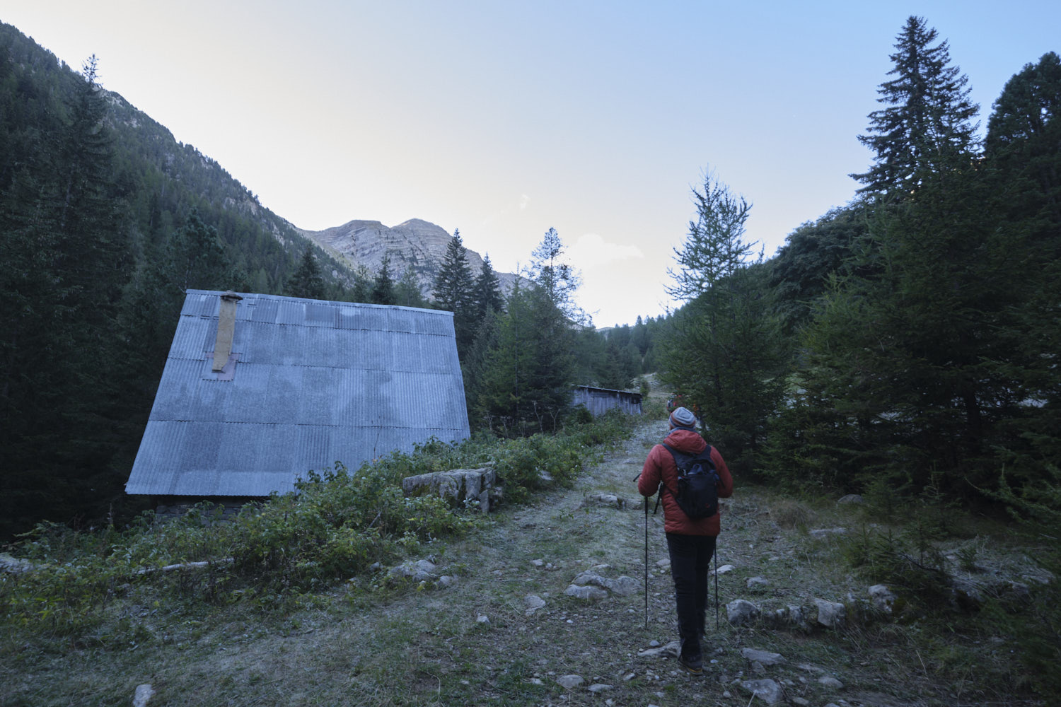
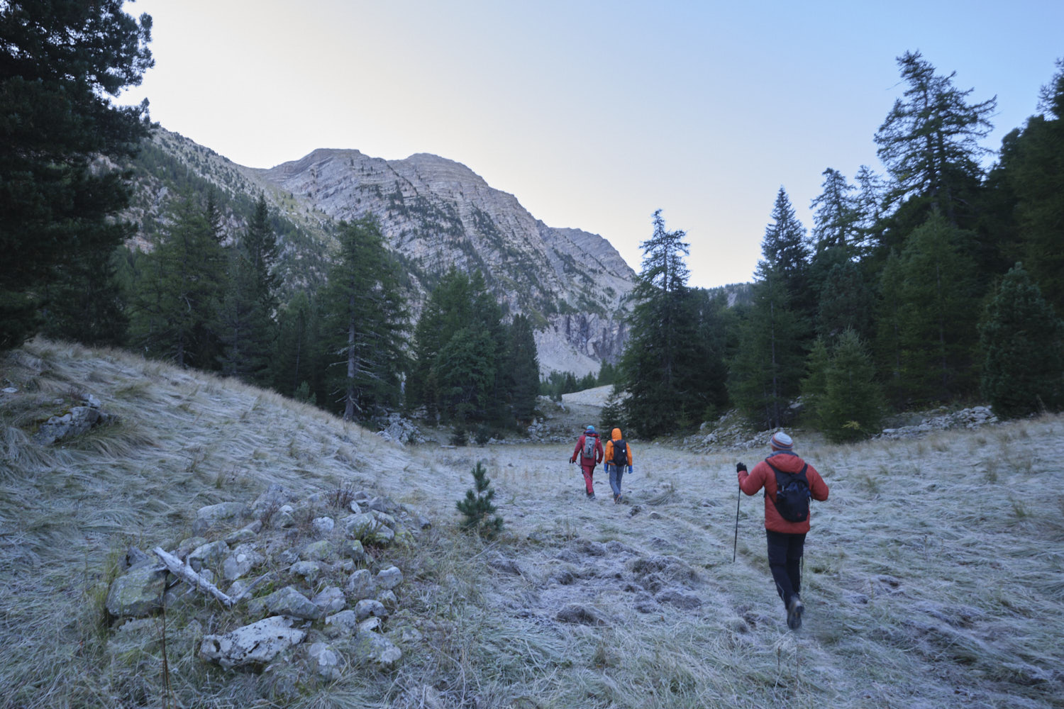
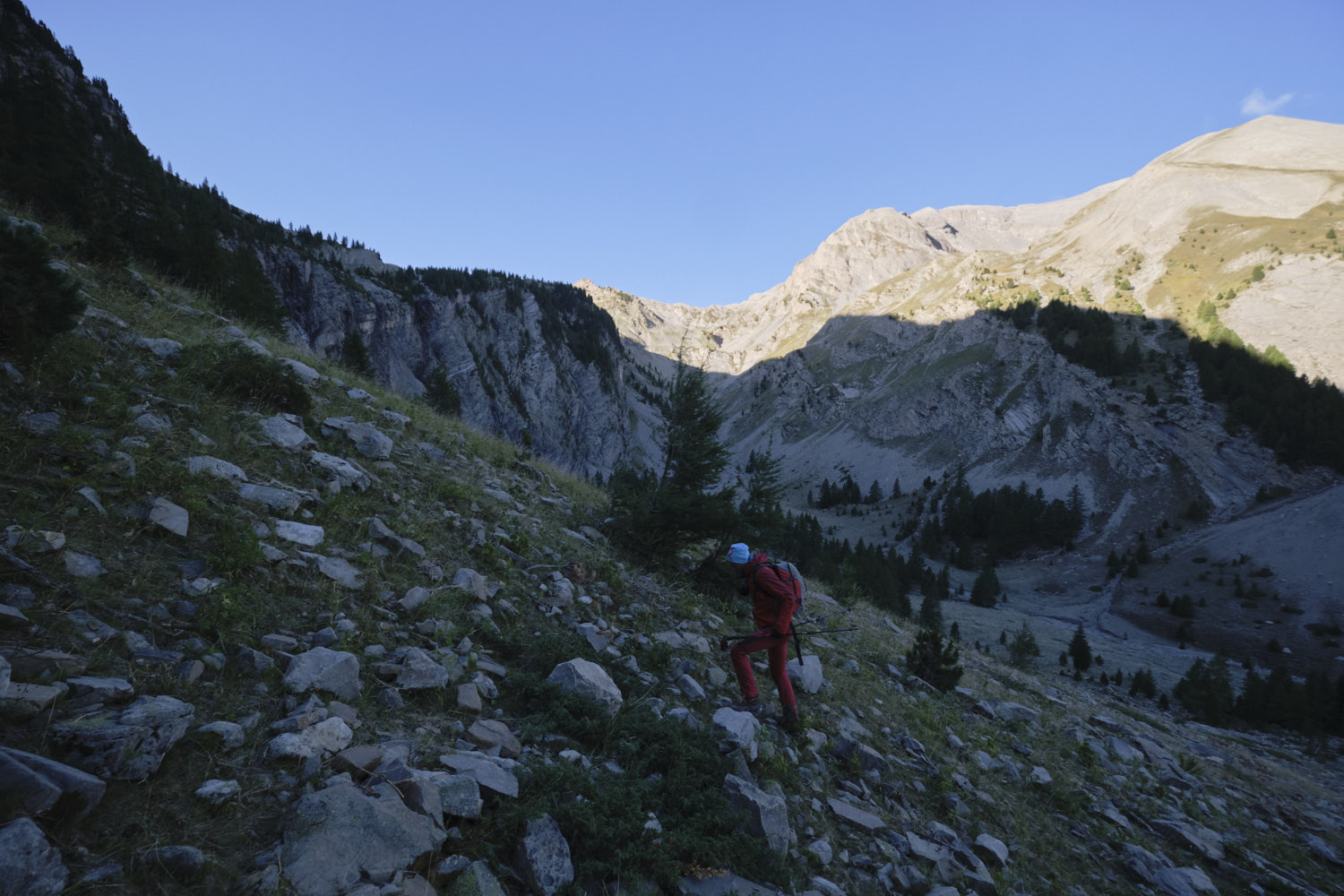
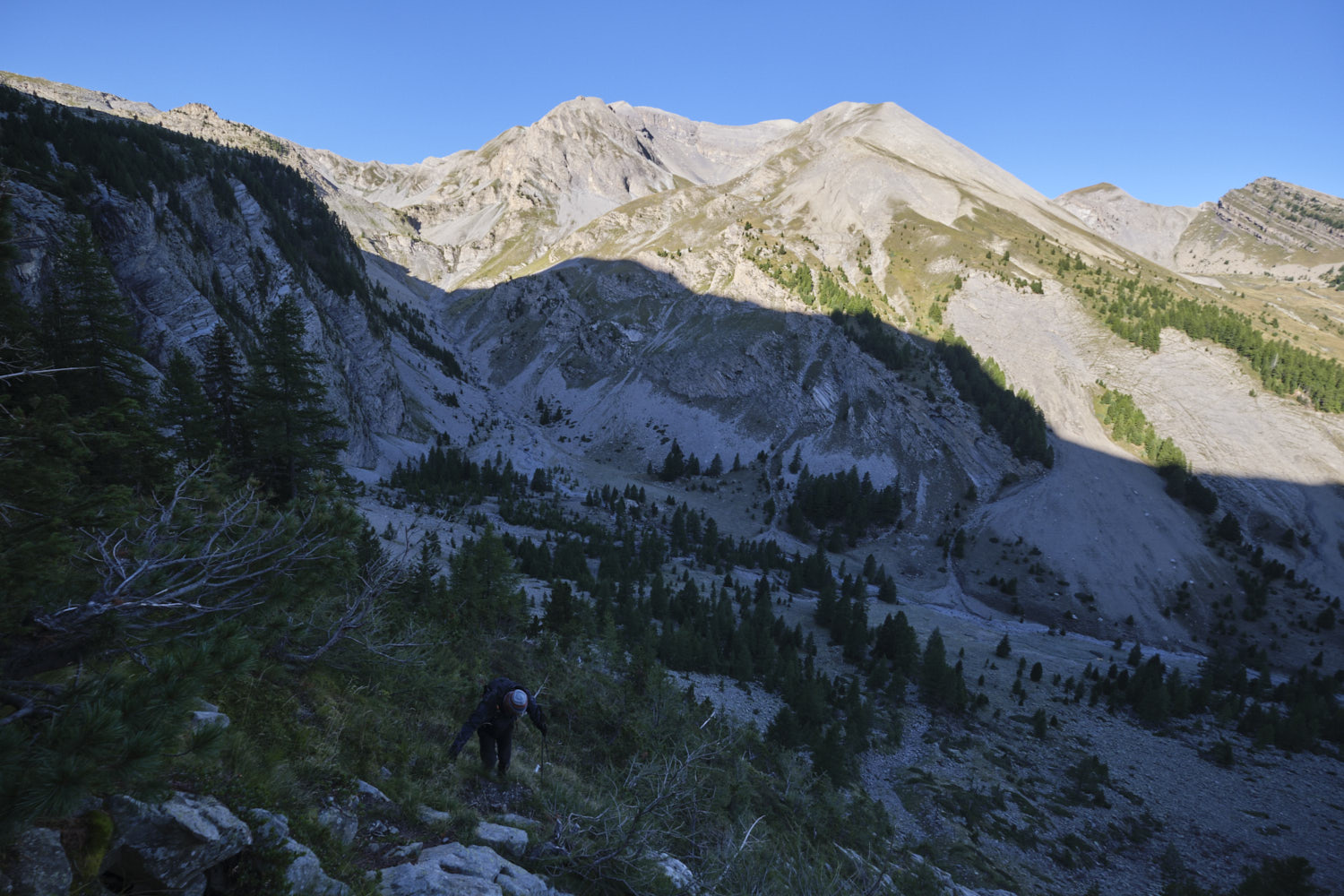
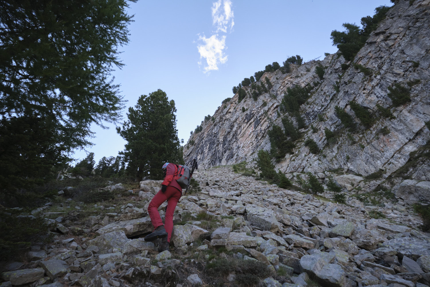
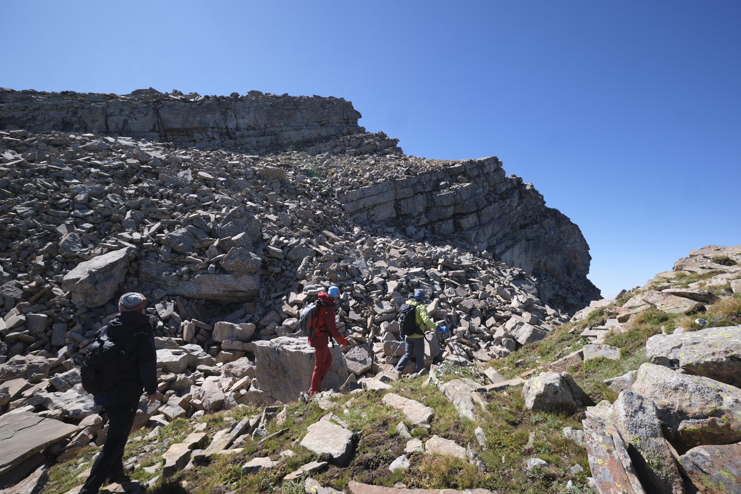
Walk along the track and gradually climb up to the Grangette crossroads. At this point, leave the path leading down to the valley floor (the return path) and descend to the left to cross the torrent and start climbing up the opposite slope towards the clearly visible Barre de Vautreuil.
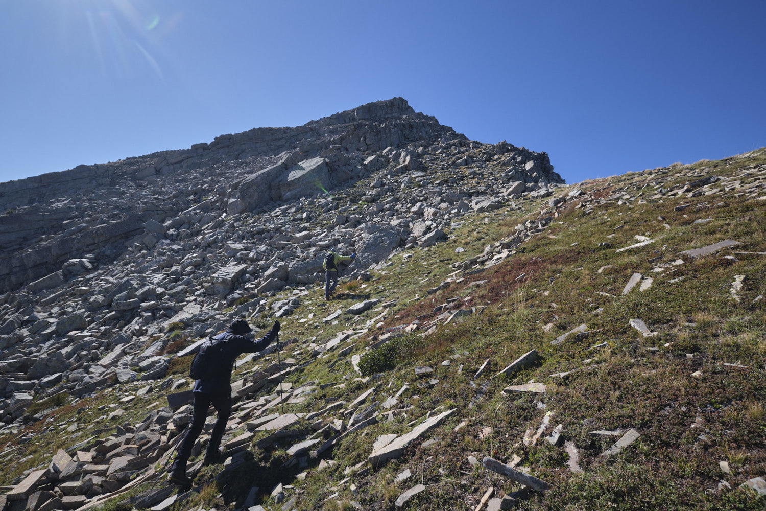
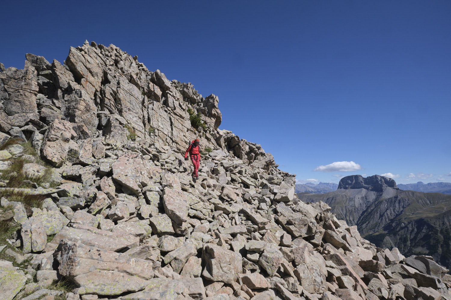
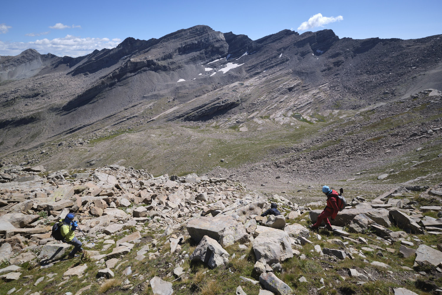
The climb back up takes place in the last few very steep couloirs, and you'll have to improvise as there is no obvious path or route. Basically, you have to wind your way up between scree, fir trees and grassy slopes to gradually find yourself higher up, skirting a large cliff. This finally ends in a more open couloir that leads up to the pass between Tête de Balaour and Tête de Chabrière.
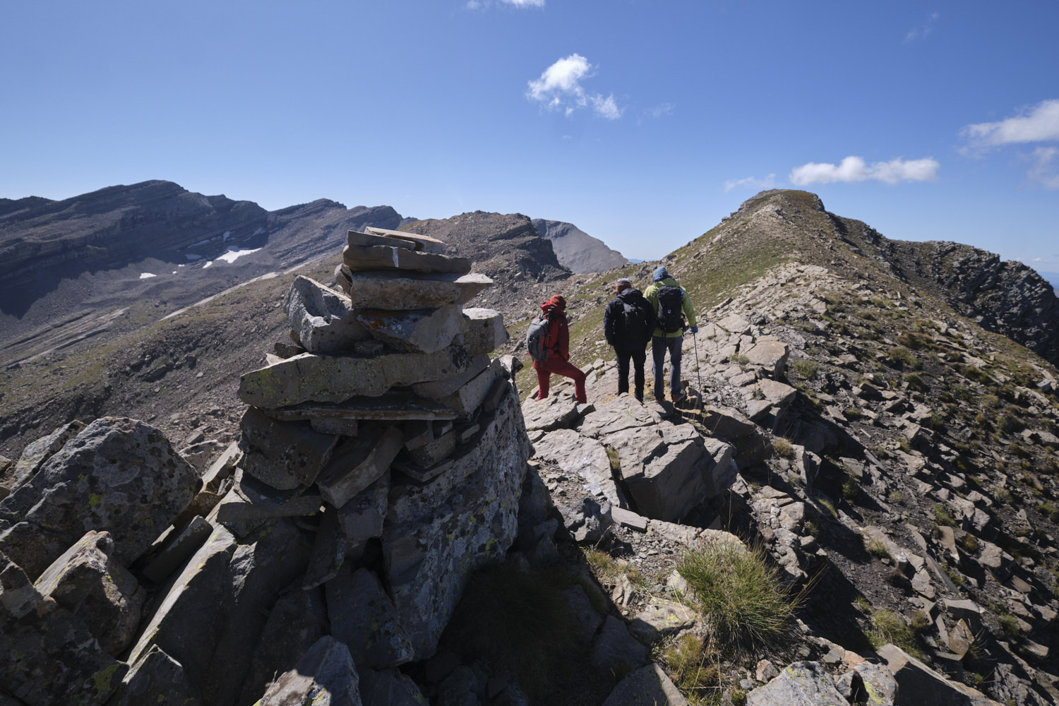
Part 2: ridges, Tête de Chabrière and ridges to Col de Vautreuil
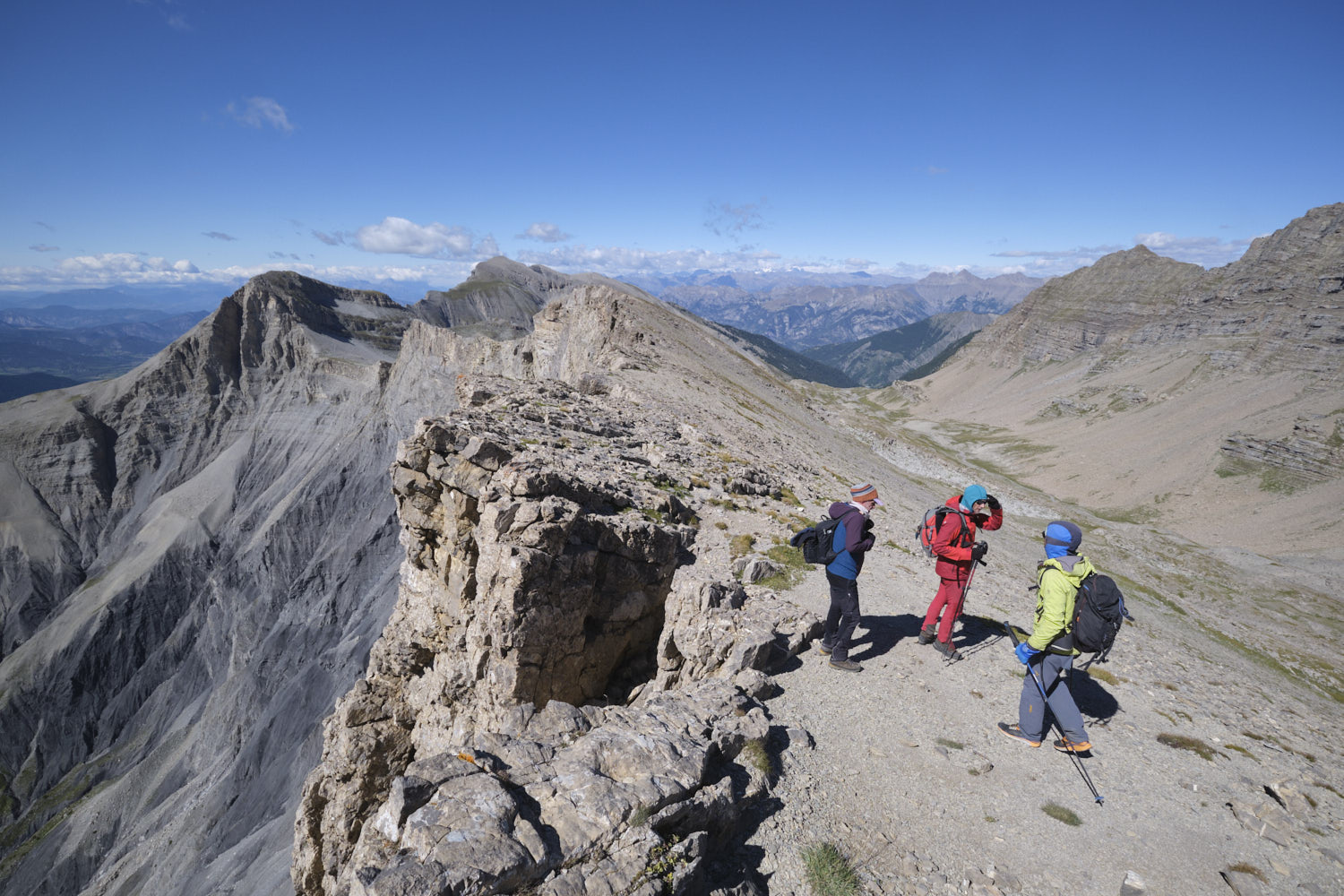
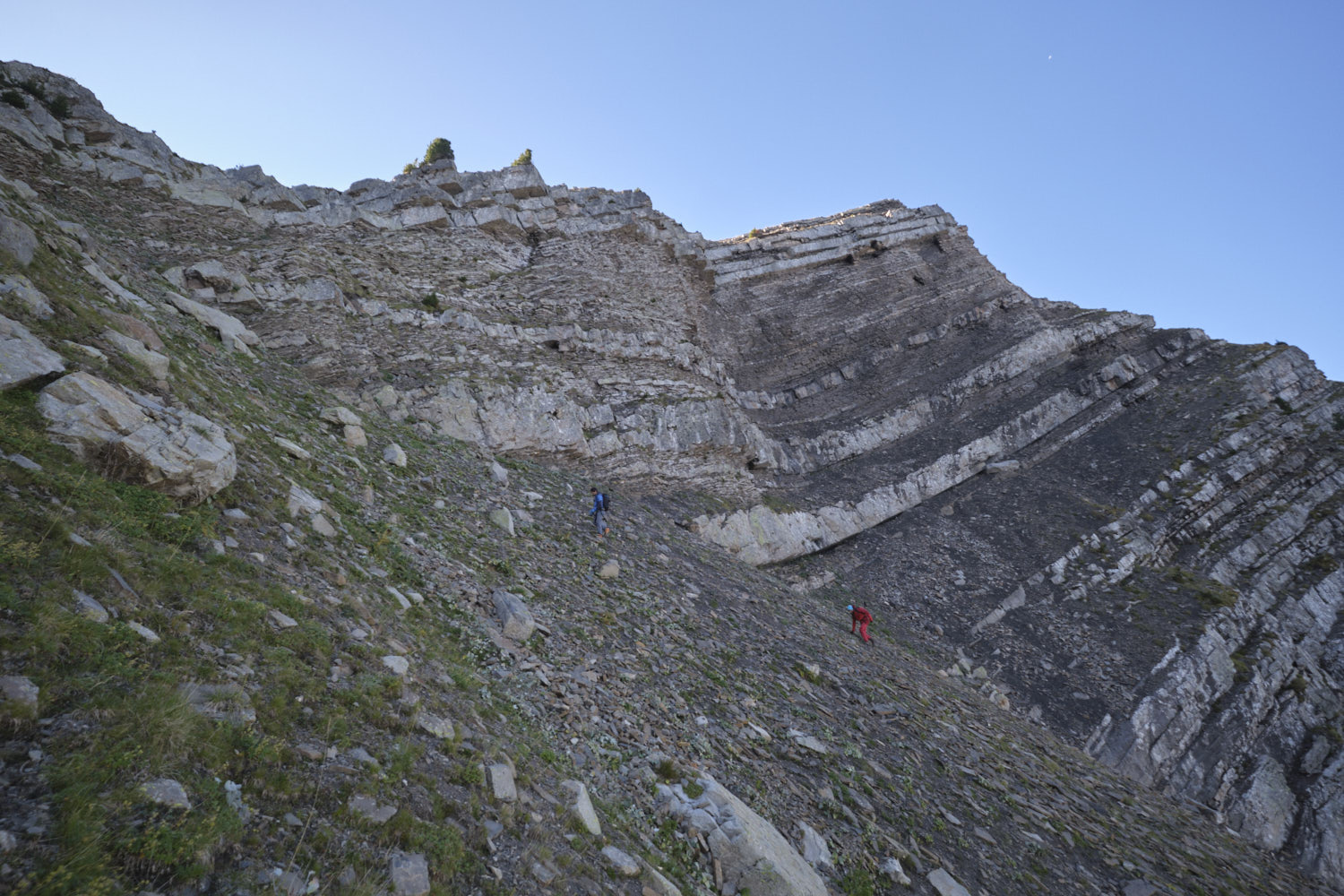
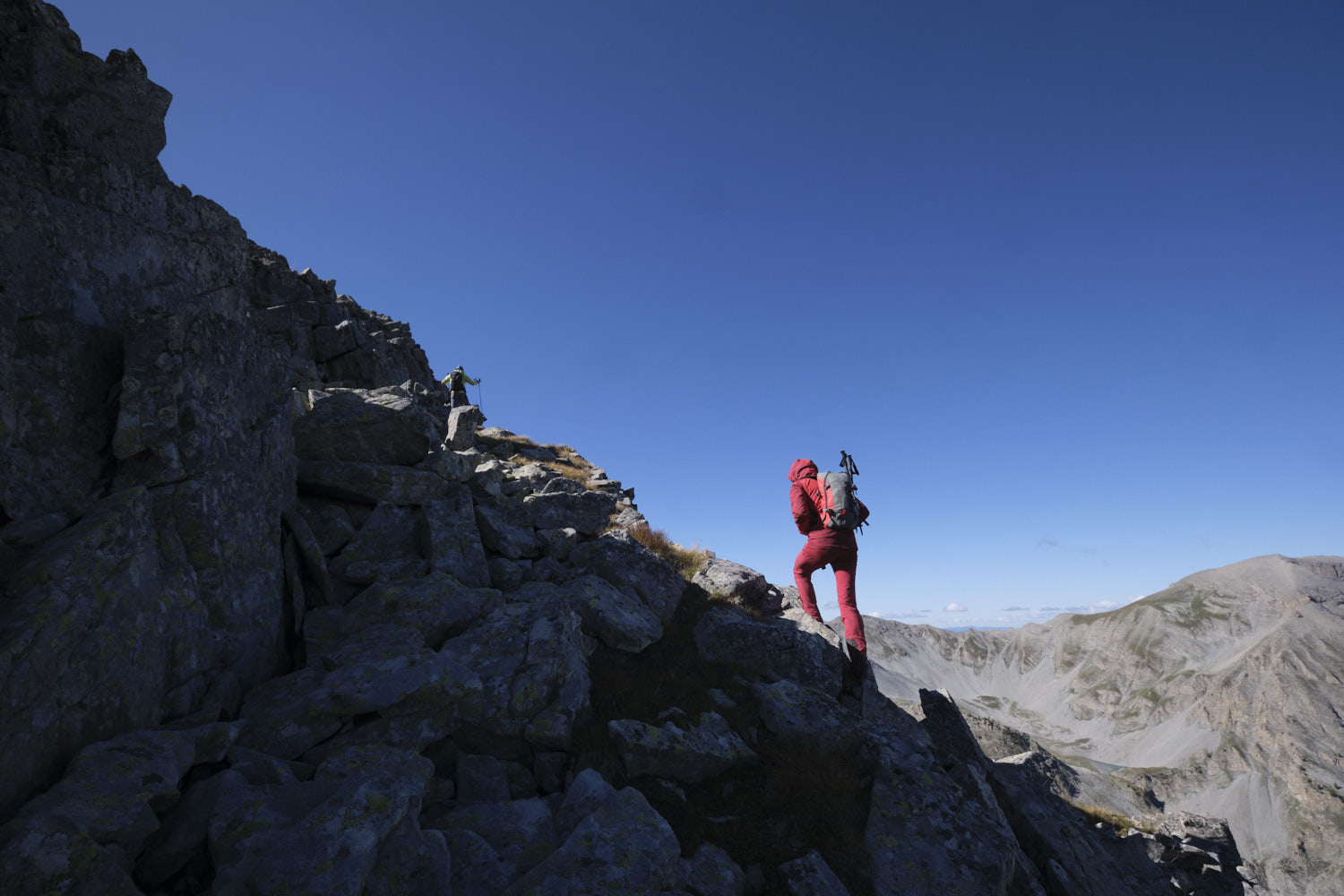
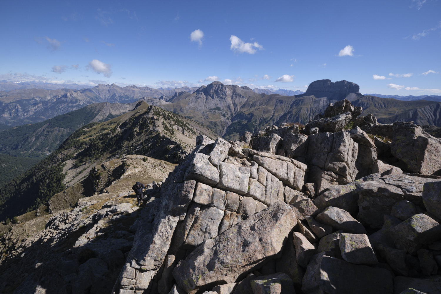
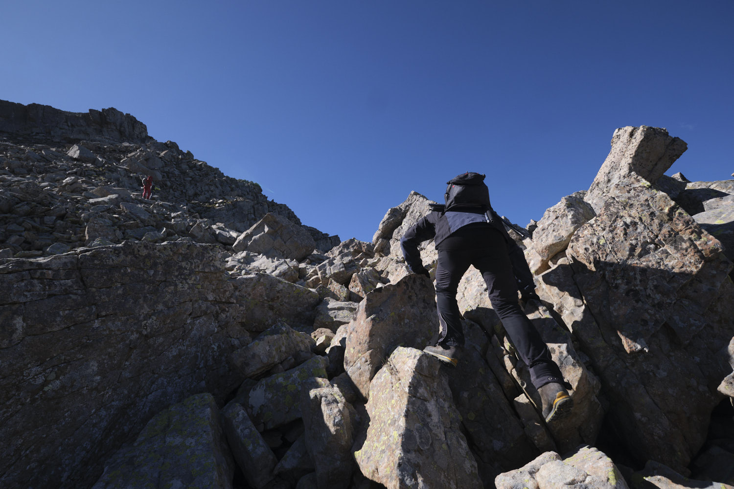
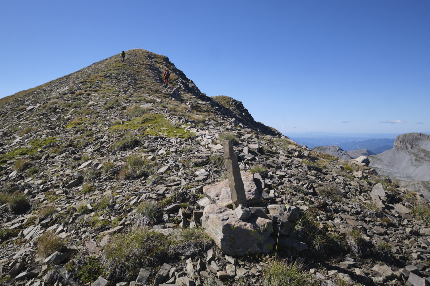
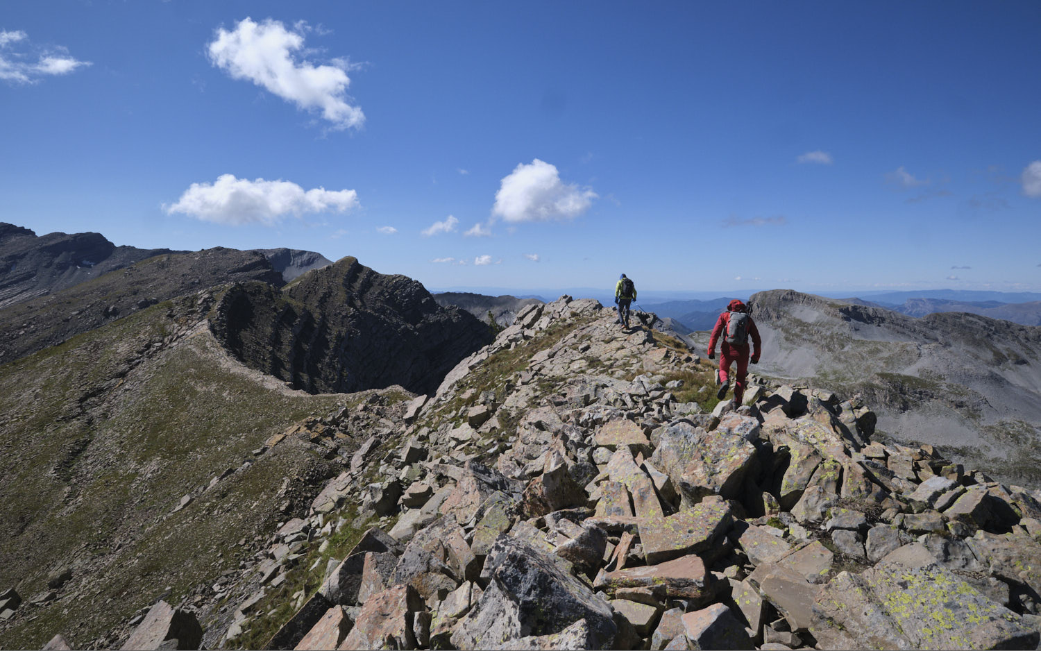
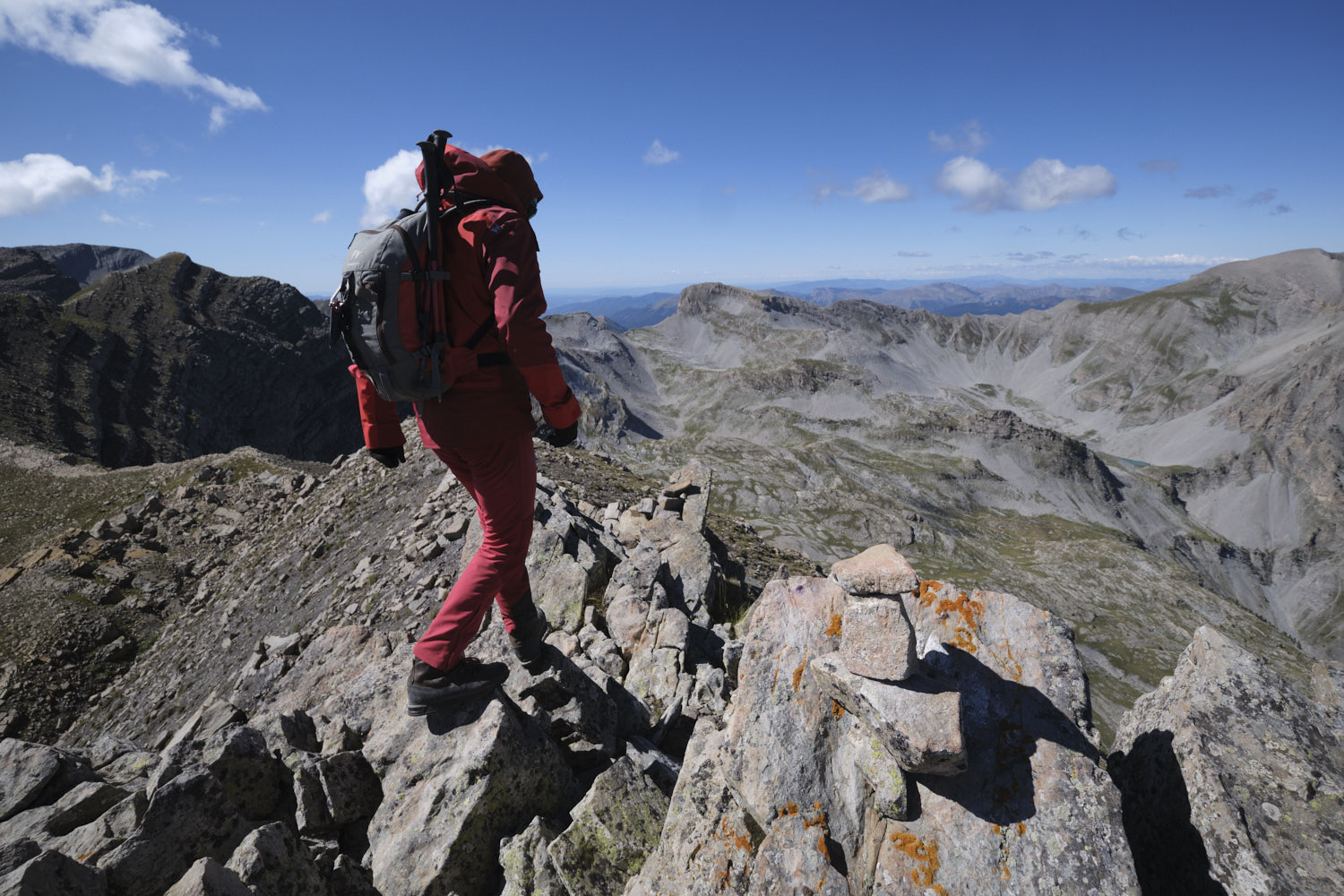
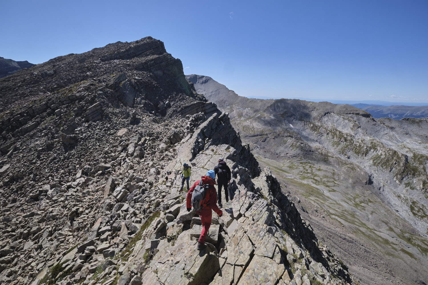
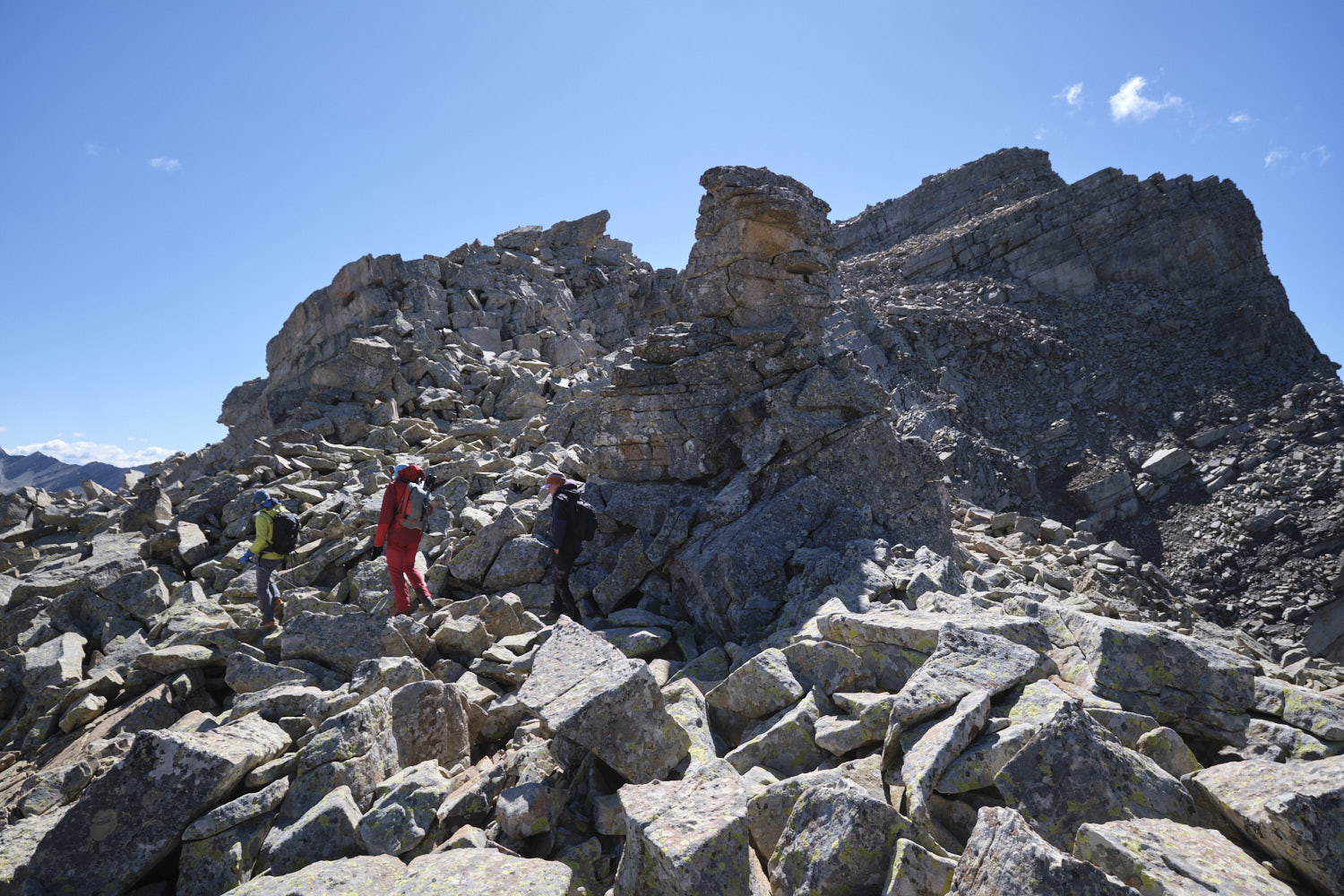
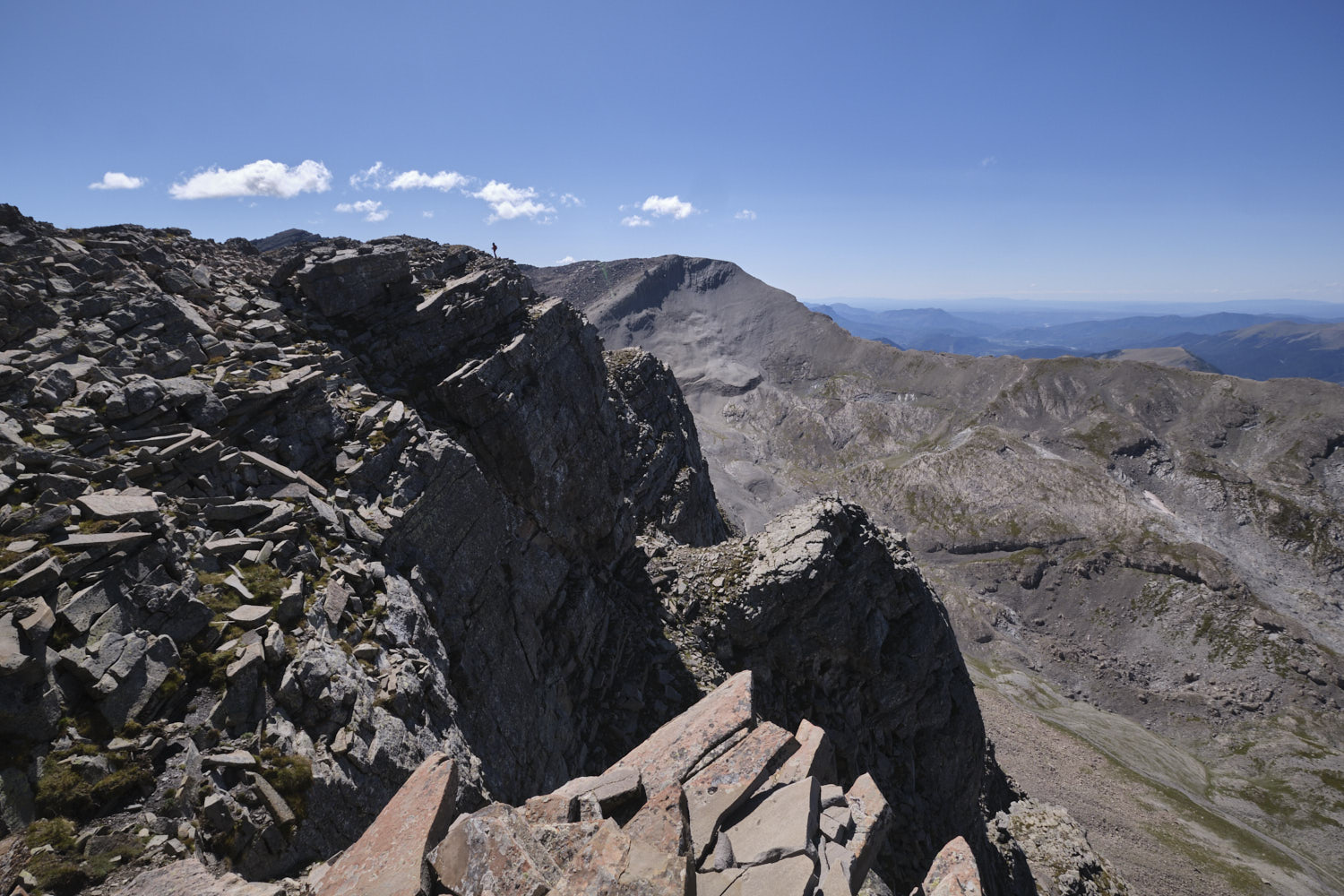
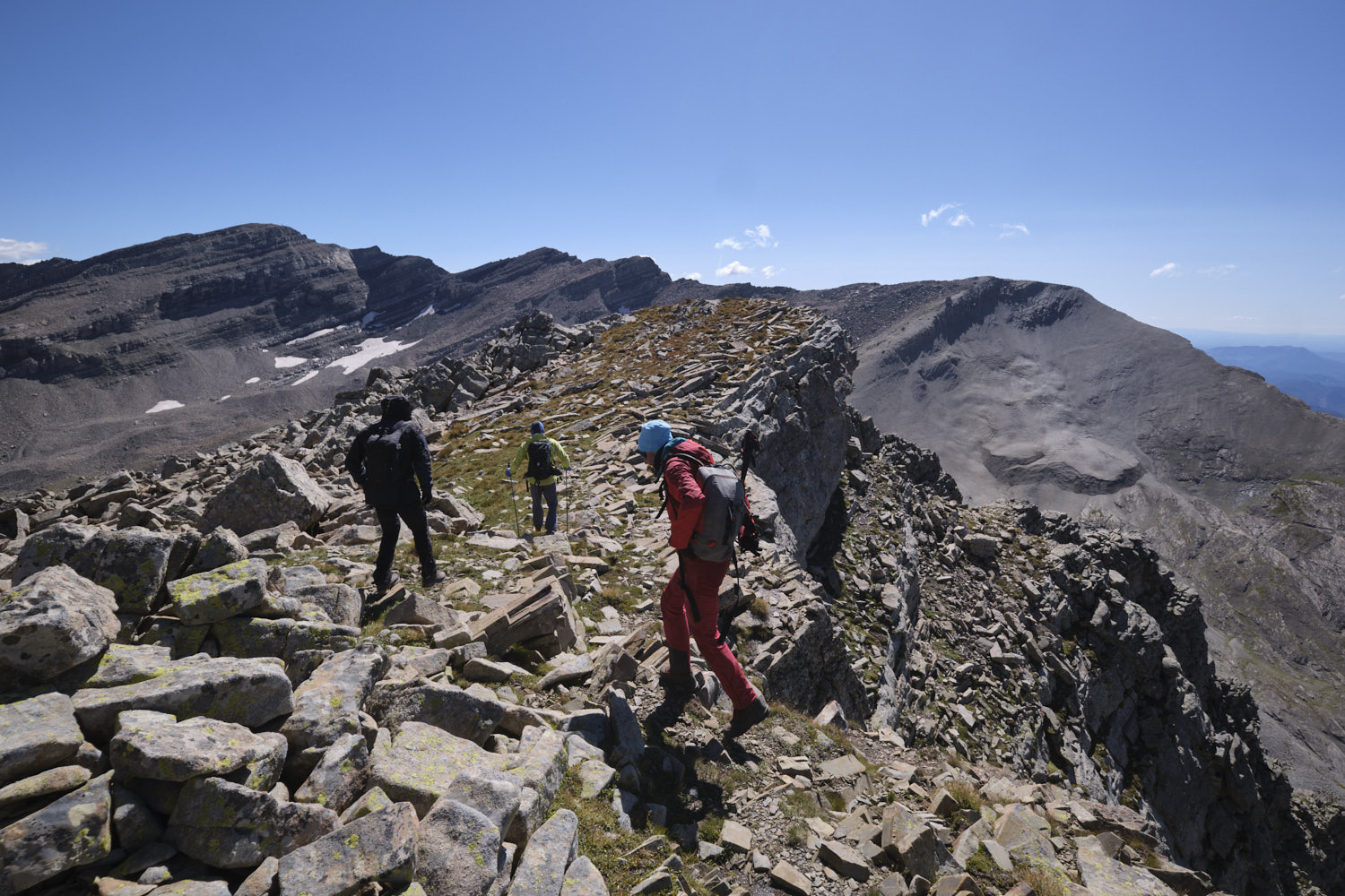
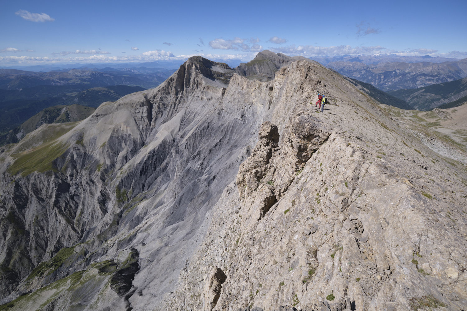
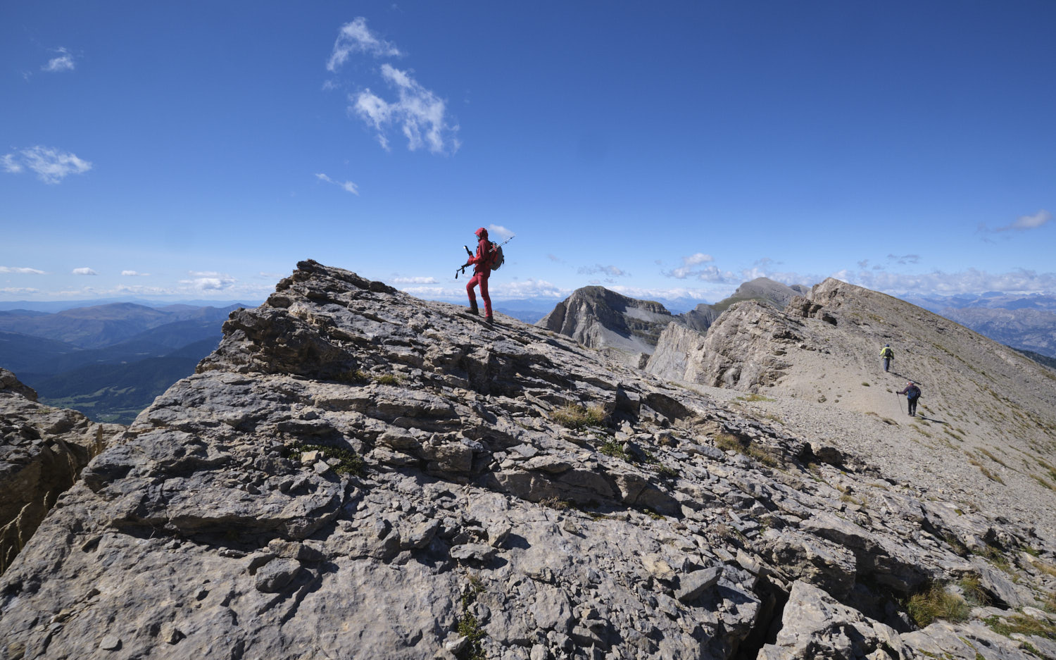
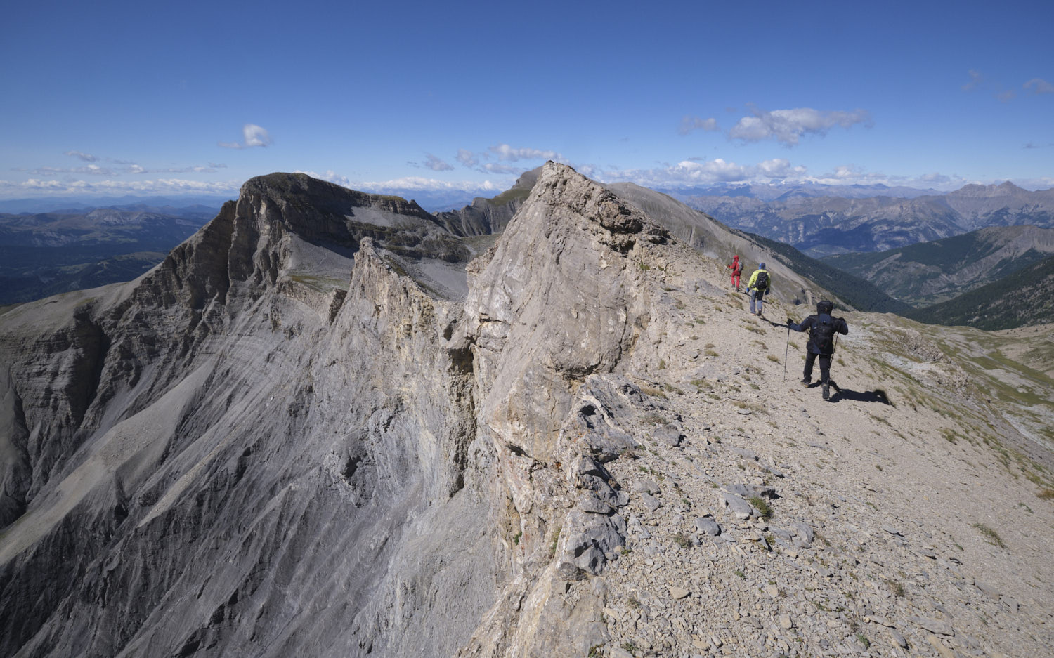
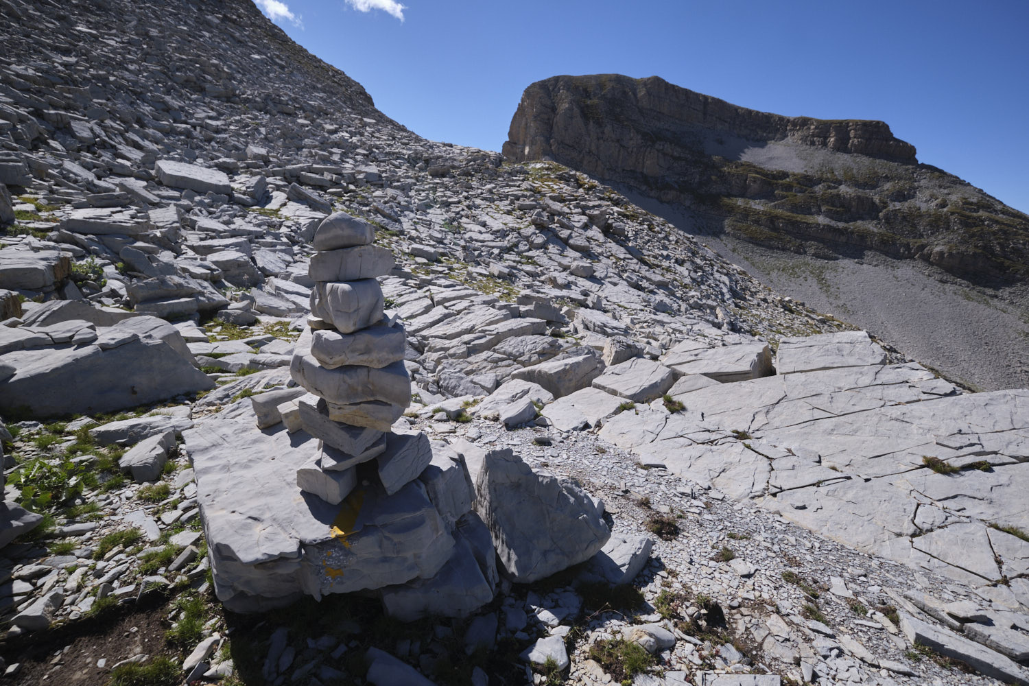
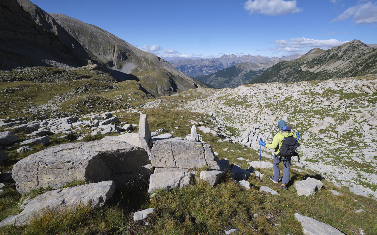
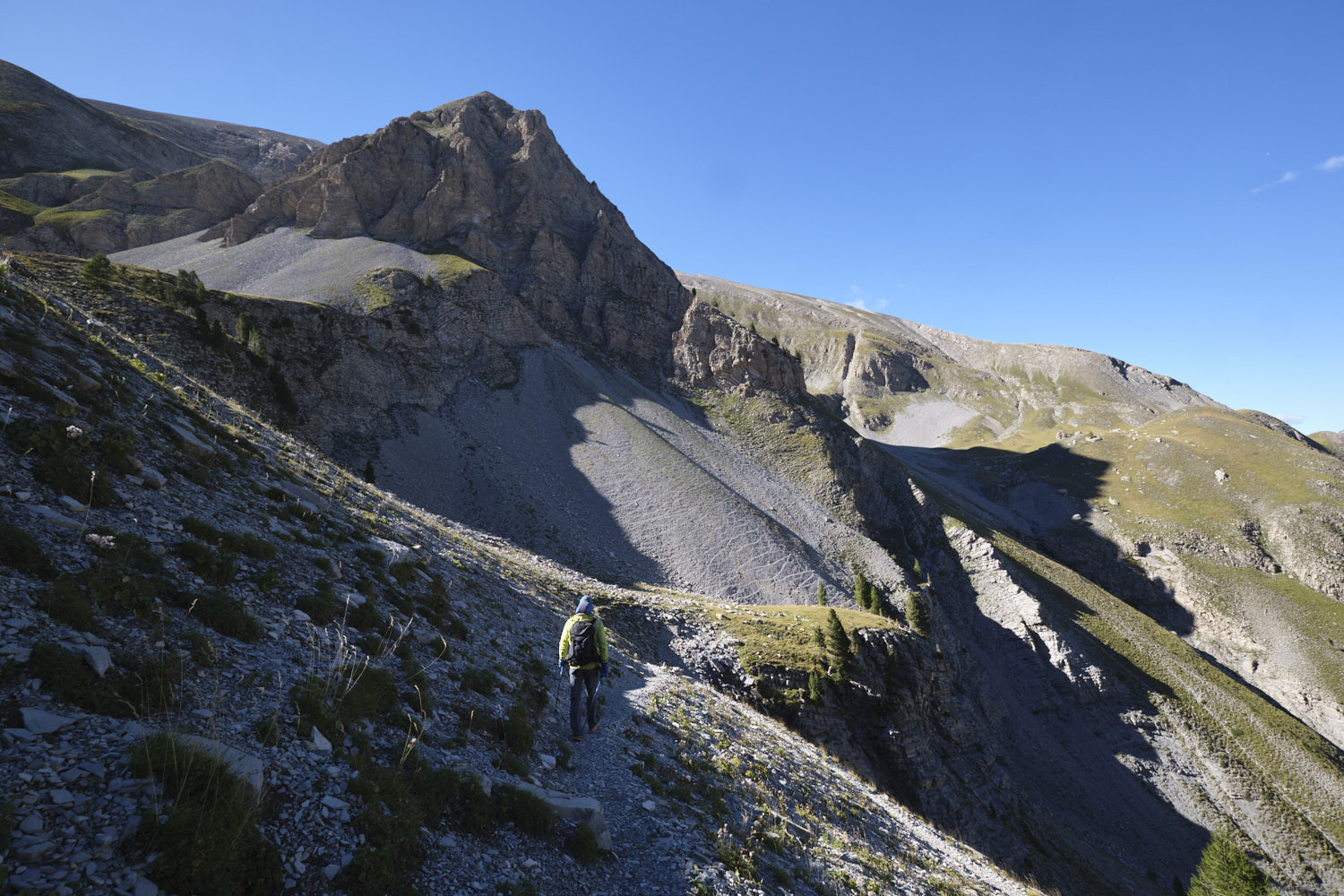
From the col, head due south on the broad ridge and climb up to the Tête de Chabrière, which is reached without too much difficulty, but with a little climbing on the boulders in the final section. After the summit, you can see part of the ridge itinerary which continues to undulate southwards, with many small intermediate summits. Keep as close as possible to the edge of the ridge, with occasional bypasses to avoid jumps that are difficult to negotiate.
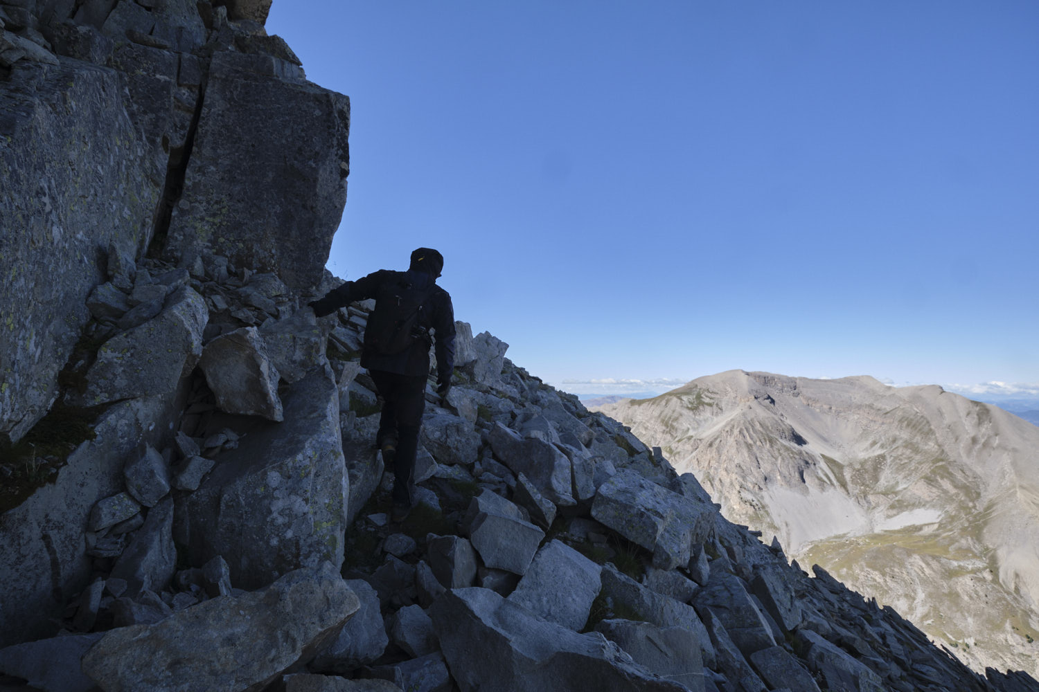
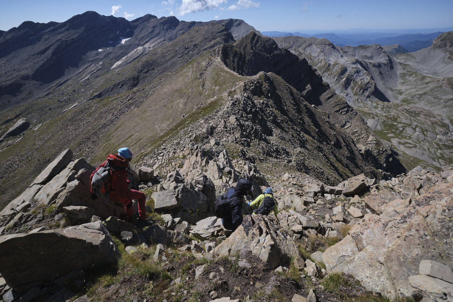
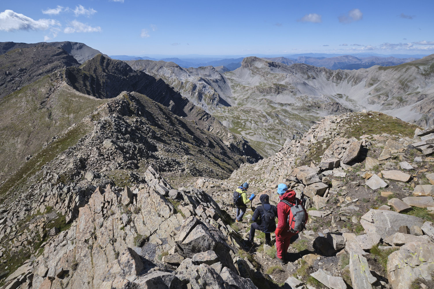
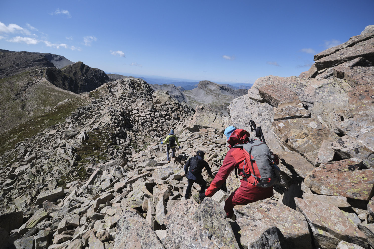
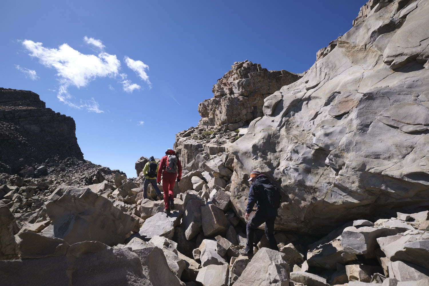
You'll make good progress up to the last summit, where you'll have to wriggle your way through a large chaos and climb up between rocky bars on small airy but not exposed ledges. From here, as you descend towards the Col de Vautreuil, which you can only guess is close by, you have to climb down the east-facing slope past impassable bars and then traverse the flank to reach the Col de Vautreuil.
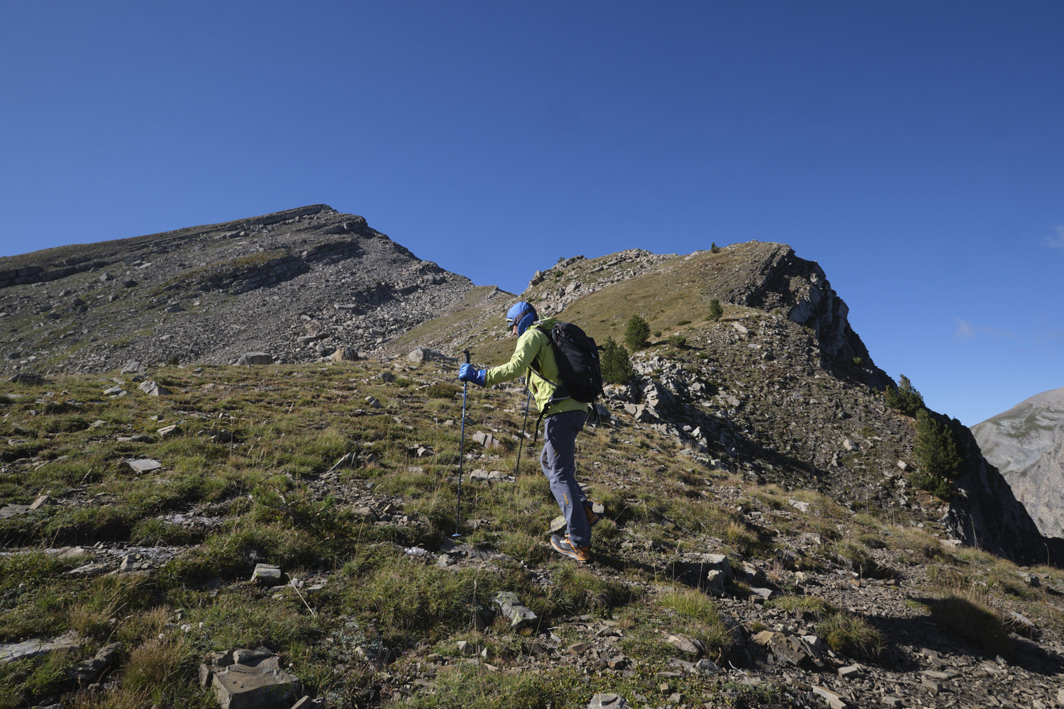
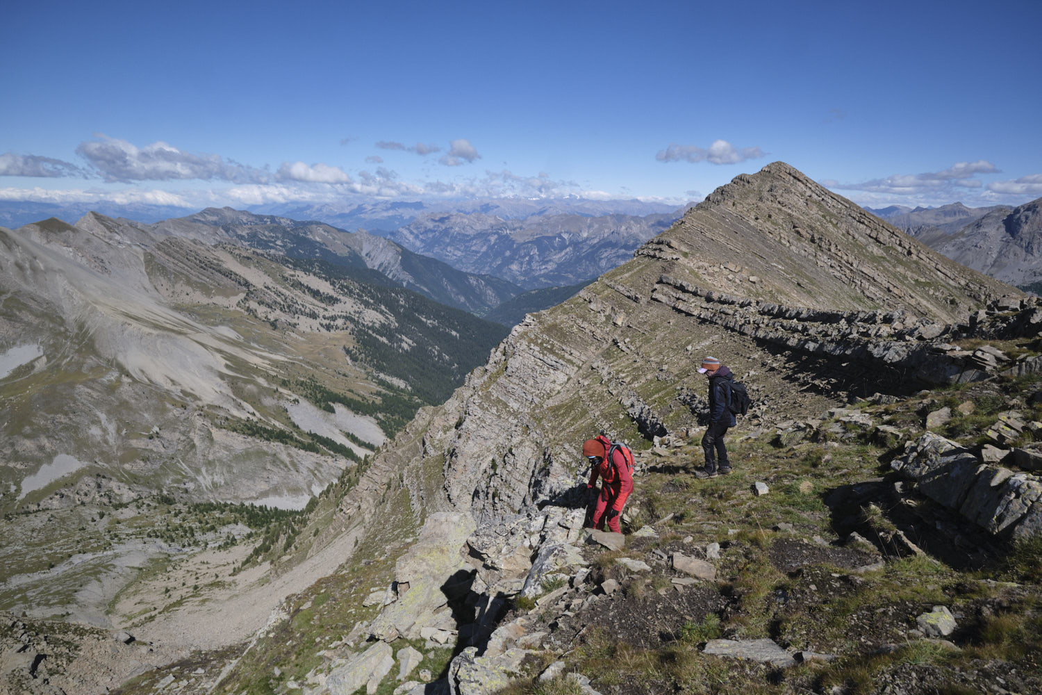
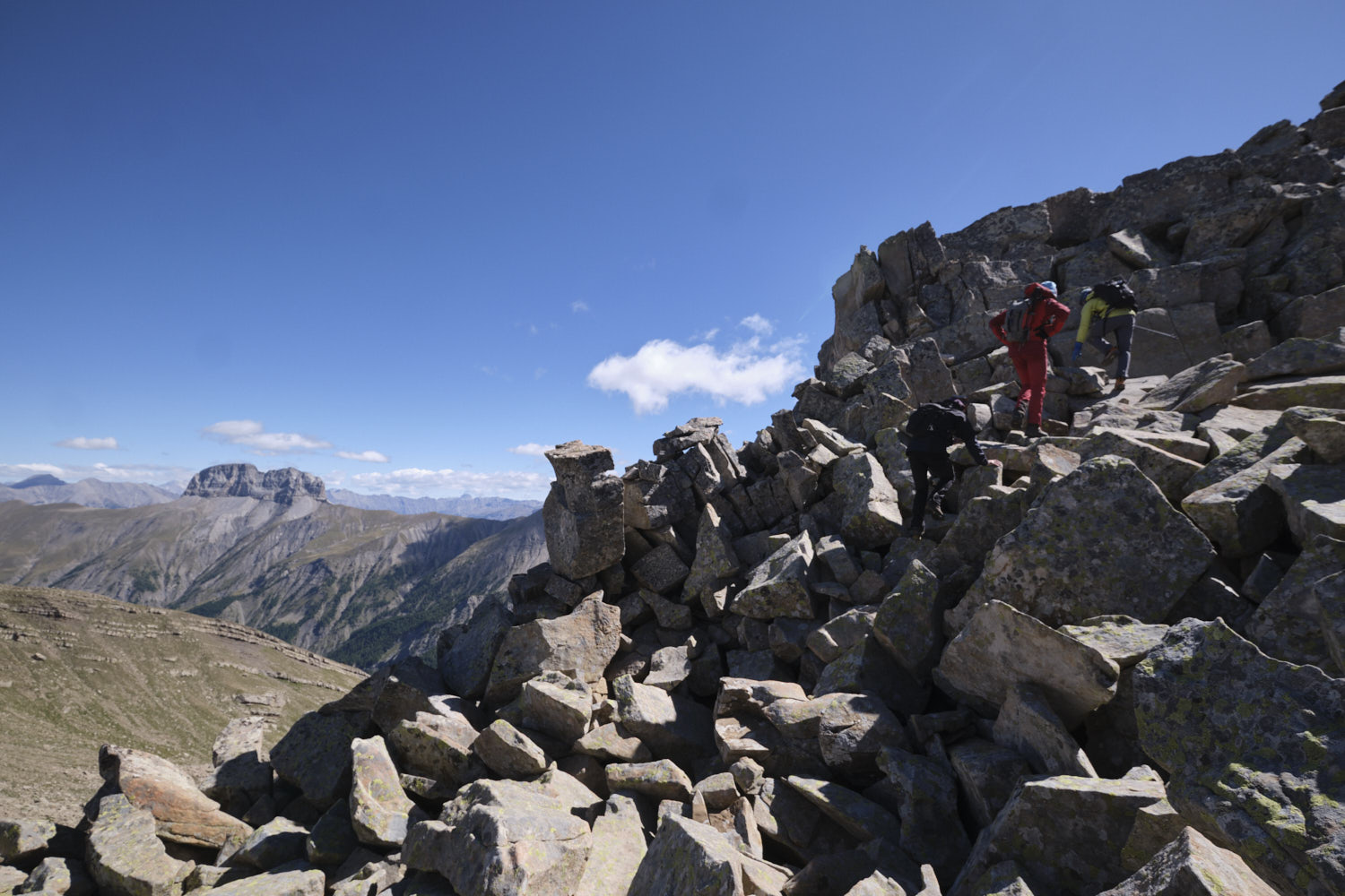
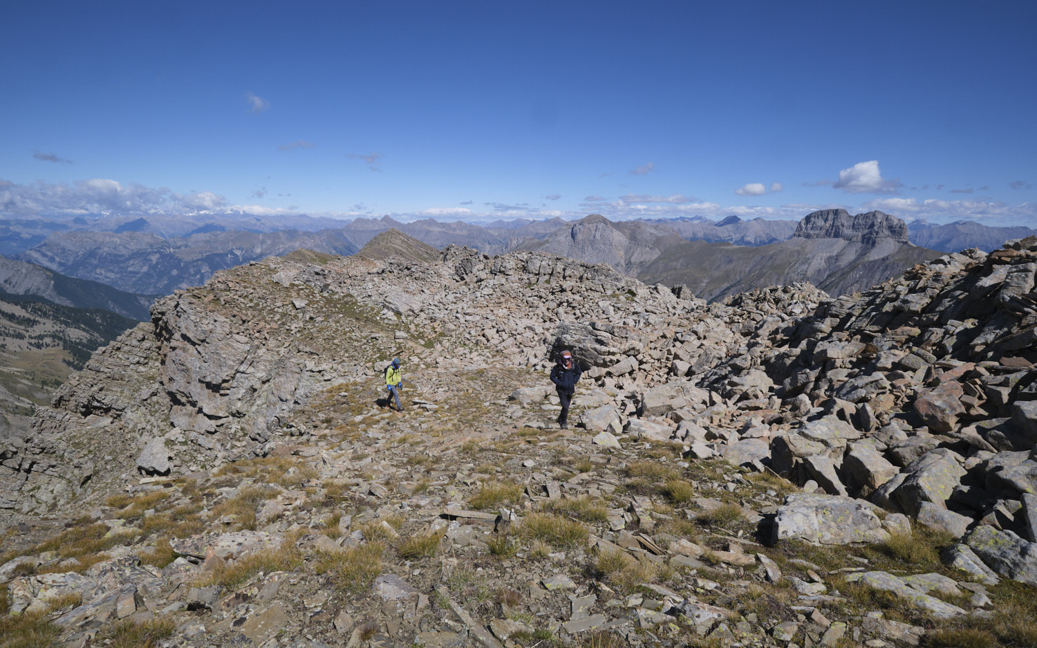
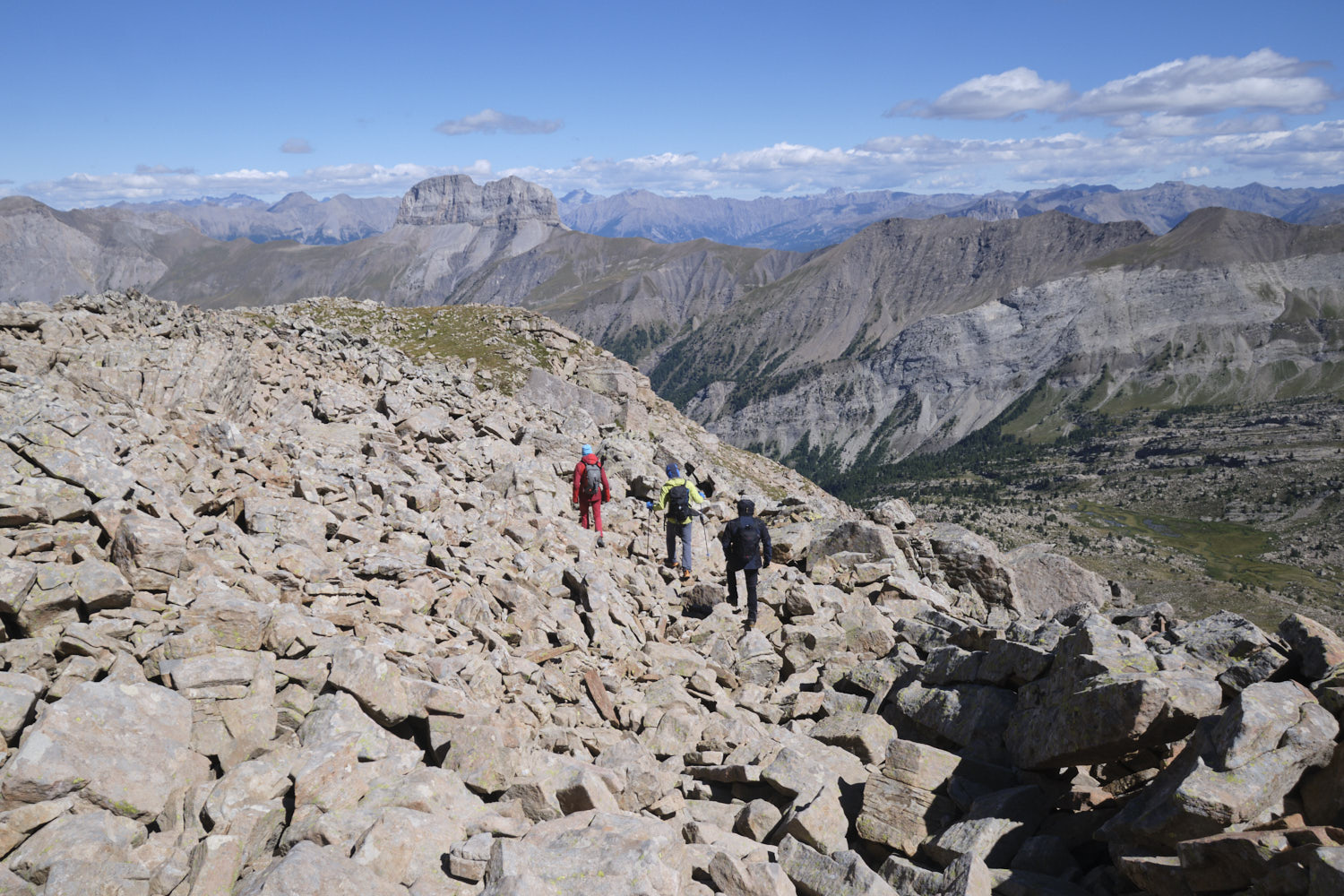
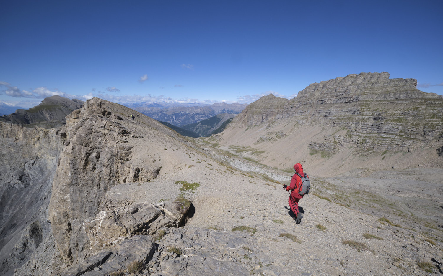
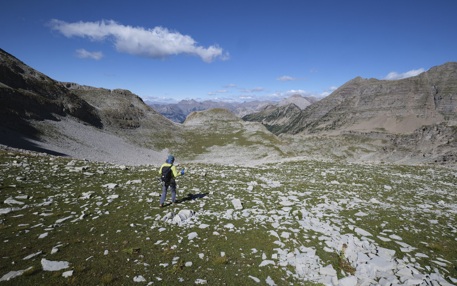
Part 3: traverse the ridges to the Pas de Galèbre and return to the parking lot via the Barre de Vautreuil.
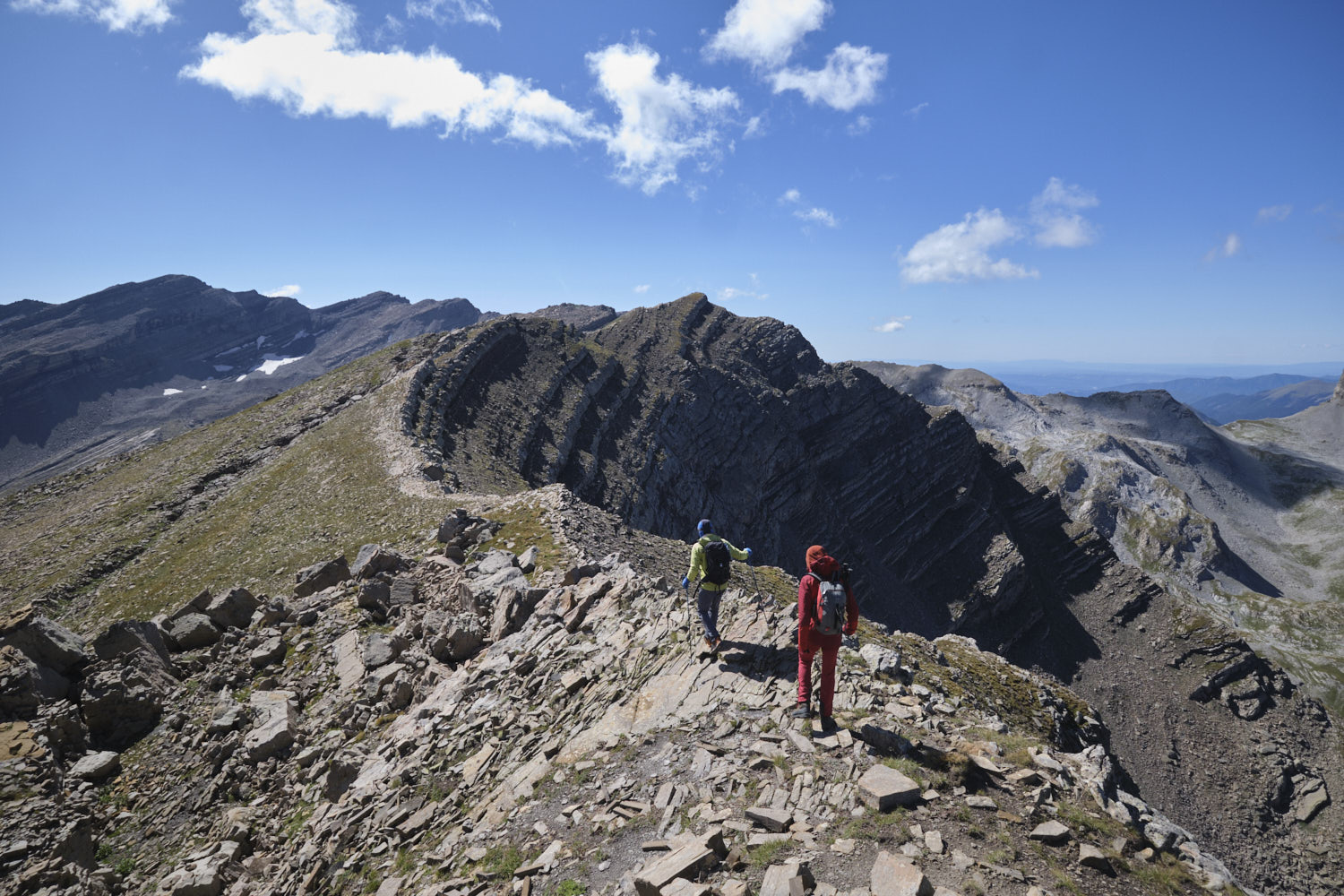
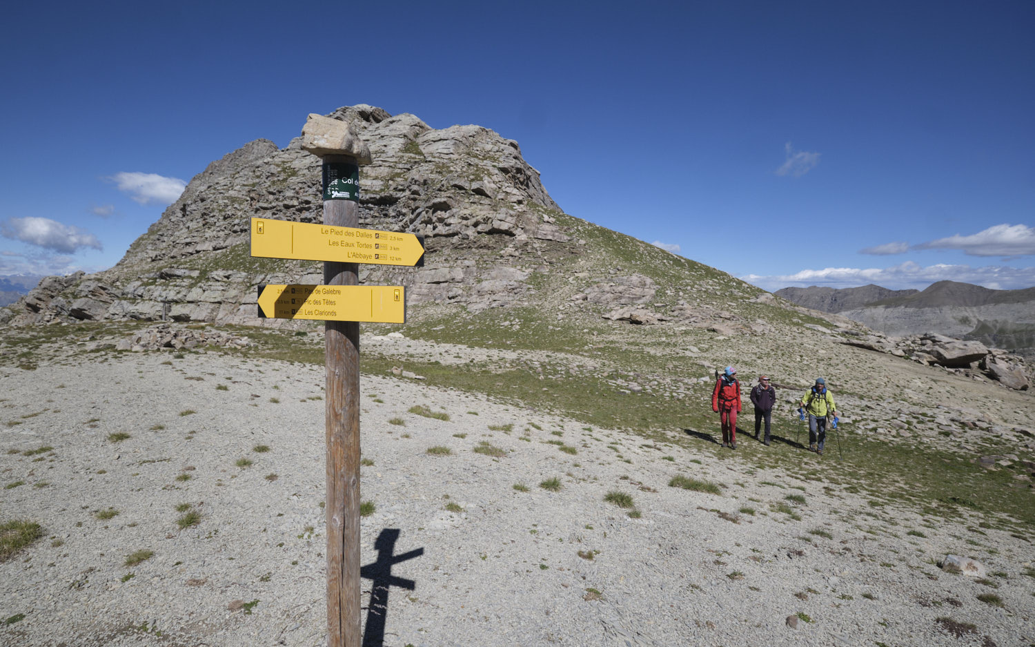
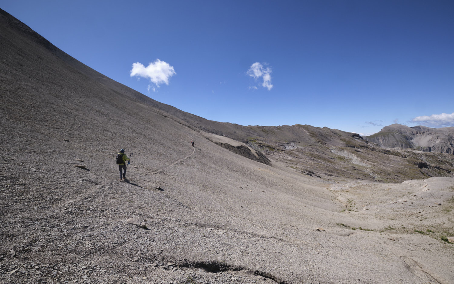
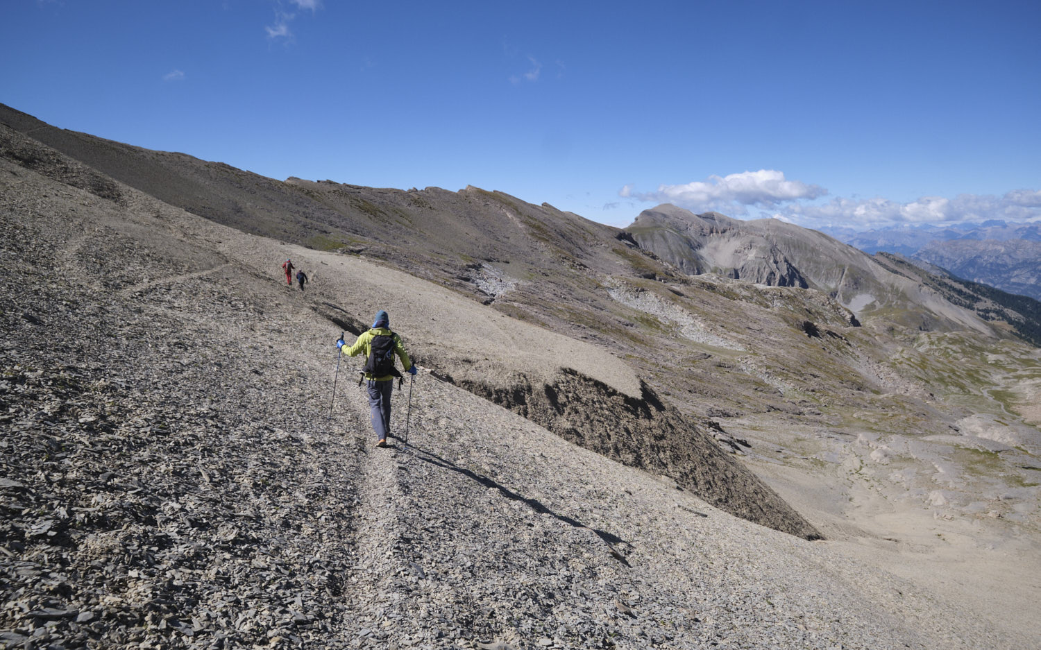
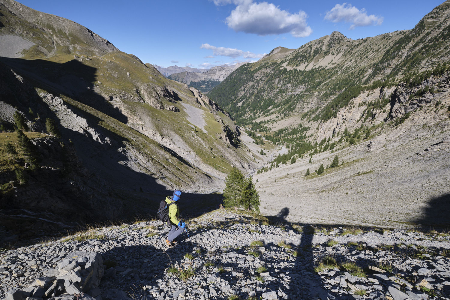
From the col, follow the mini-trail across the steep, undulating slopes below the Puy de la Sèche to reach the ridge. Continue north-west on the narrow path that runs along the edge of the void on the south side. At the end, improvise your way down the north side to find the yellow PR trail leading to the Pas de Galèbre, below the Pic des Têtes.
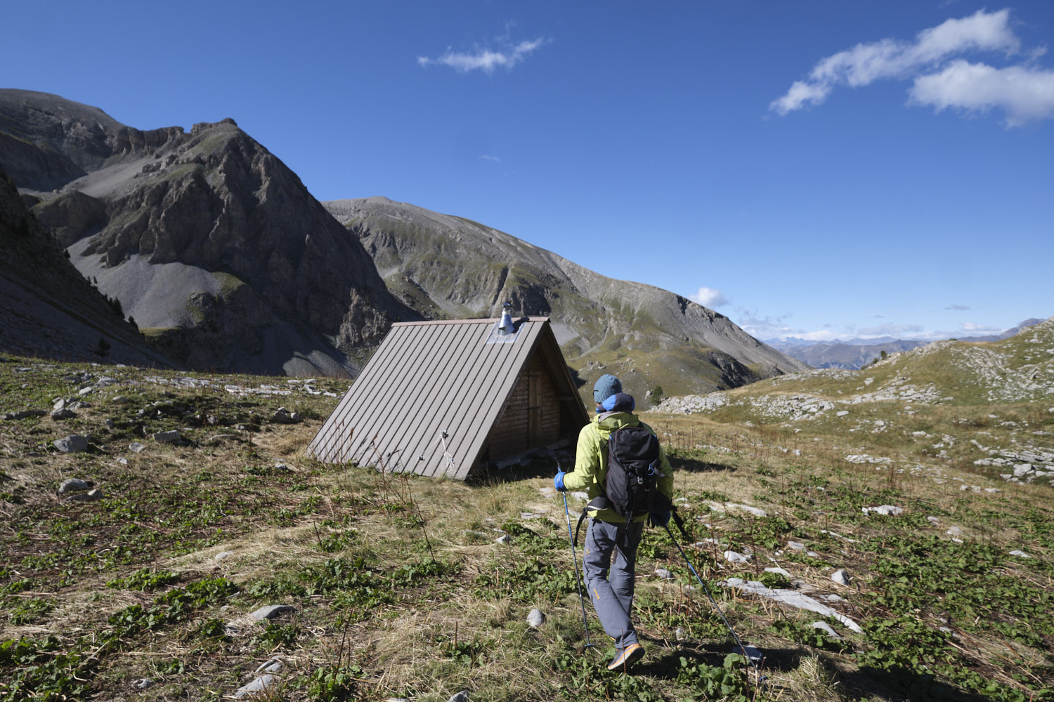
From here, head north on the yellow trail, reaching some small huts in a grassy hollow below. Continue down the steep switchbacks that wind their way along the Barre de Vautreuil. At the bottom, cross the torrent and return to La Grangette and the parking lot.
![2017-08-01_10-56-03 [Crête de Pinu]](https://climbing7.com/wp-content/uploads/2017/09/2017-08-01_10-56-03-crc3aate-de-pinu-e1580117578105-1024x683.jpg "The Pinu ridges, Cap Corse")


Leave a Reply