


TOPO Hiking | CLIMBING7.COM
Publié le
 Partager sur WhatsApp
 Partager sur Twitter
Partager sur Instagram
Partager sur Twitter
Partager sur Instagram

 Partager sur Facebook
 Imprimer le topo
 Laisser un commentaire
Pica d'Estats is the highest peak in the Catalan Pyrenees. An almost obligatory trip! Access is on the Tavascan side, via the Broate refuge. The hike is beautiful, not difficult, but fairly long, with some tricky sections (scree, névés) depending on the season, and an original passage through Coll dels Gitns de l'Ase before rejoining the normal signposted route. We also take the opportunity to climb Montcalm, just outside France at 3077m, on the Chemin de l'Estats.
❱❱ Technical summary
❱❱ Access to the place
From Barcelona, take the A2 towards Lleida and exit at Igualada to head due north towards Tremp and exit at LLavorsi to go as far as Tavascan. Continue straight through the village and take a long, stony track to a small parking lot by the stream. Here begins the path to the Broate refuge.
❱❱ Map & topo

❱❱ Itinéraire
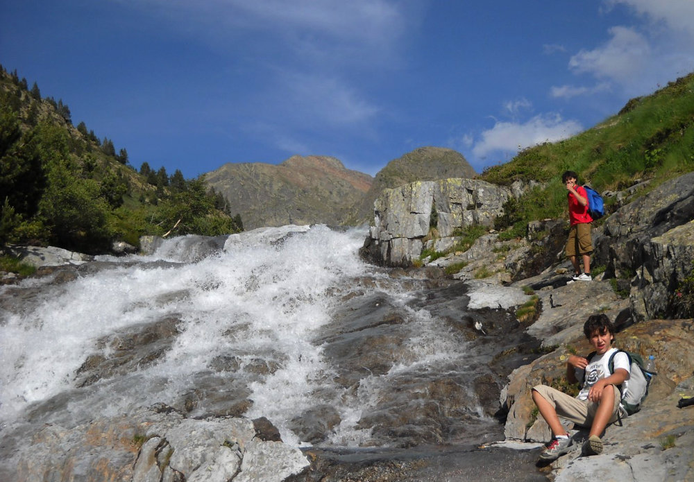
To reach the Broate refuge at 2200m altitude. After a 20-minute walk along the torrent, the trail climbs a few dozen steep switchbacks through the forest. We cross the torrent higher up on a wooden bridge, and after 1 hour of steep climbing, we finally come out on the small plateau that leads us to the (unguarded) refuge.
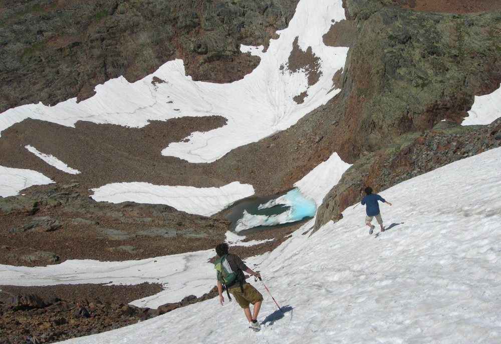
The trek, with an ascent of 1040m from the refuge, is fairly long and poses no particular difficulty, apart from the presence of névés. The route is fairly easy to follow from the refuge. Bring a pair of crampons and an ice axe just in case.
Part 1: from refuge to col
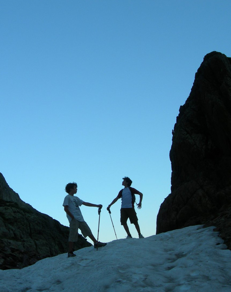
The path to the Pic d'Estats goes off to the right as you leave the refuge and climbs along the small stream towards the waterfalls you can see above. Follow the path above to the right and skirt the mountain to the right, leaving the large rocky tooth to our right. The trail gradually climbs up to a wide combe, which we have to climb all the way up to reach a small pass that takes us to a rock face in the shape of a small cirque. At the top, opposite us, we see a small passage in the form of a breach. This is Coll dels Guins de l'Ase at 2864m. Seen from below, it looks almost impassable.
Part 2: Passing the col
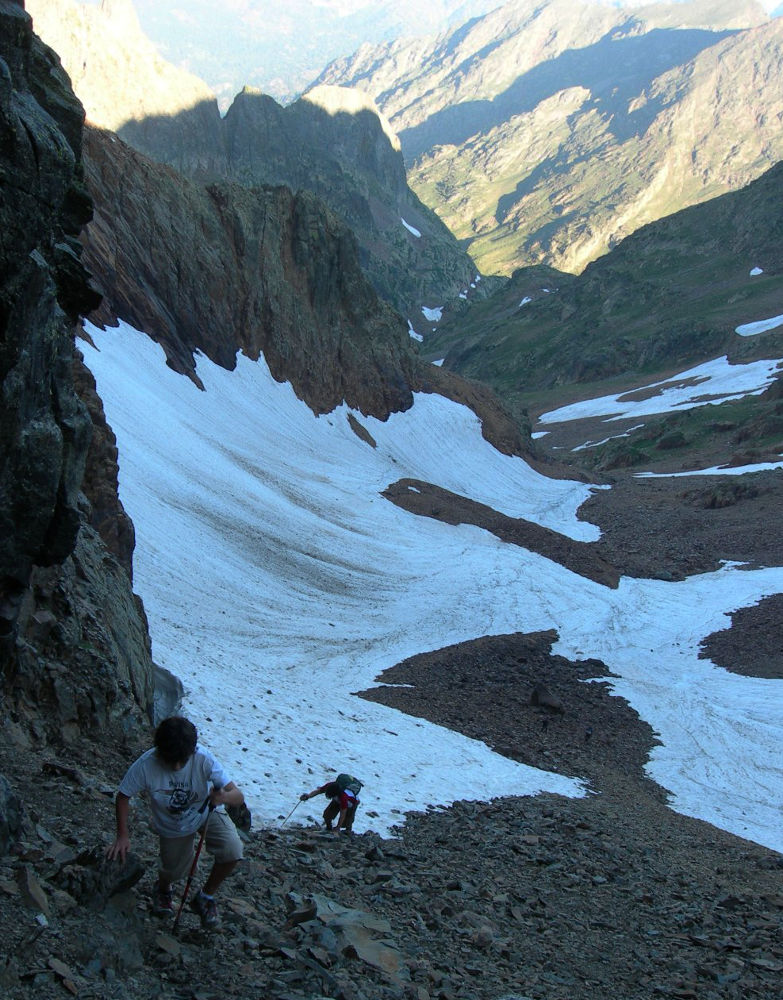
If you get close enough, it's doable, but the ascent is rather tricky, on sloping and unstable stony ground. Part of the track is covered in snow, and you have to scramble along the walls (left or right) to reach the pass. From here, you can see Montcalm high above and Pica d'Estats dominating the combe. Before descending from the opposite side of the pass, you'll find yourself in a small valley that joins up with the classic Estats trail. It's quite steep, and a rocky barrier that's too difficult to pass forces us to descend the névé step by step (with crampons), down a staircase.
Part 3: Pica de l'Estats
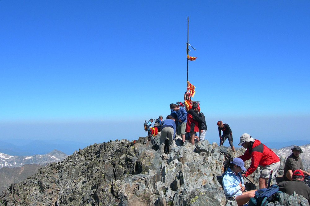
Continuing to the left at the bottom of the valley and then cutting upwards, we reach the GR classique trail that leads us to the summit. We then reach the ridge that also acts as a border. The view is magnificent. First we reach Montcalm 3077m in France, then following the ridge, we finally end up on Pica d'Estats, 3143m.
From the summit, descend to the bottom of the valley, climb up the névé (in our footsteps), pass the Col dels Guins de l'Ase and descend the scree slope (trickier than on the way up, with the added bonus of fatigue) to descend to the refuge. We then have 3 hours to get back to the parking lot, which is hard to do in one day!


Leave a Reply