


TOPO Climbing | CLIMBING7.COM
Publié le
 Partager sur WhatsApp
 Partager sur Twitter
Partager sur Instagram
Partager sur Twitter
Partager sur Instagram

 Partager sur Facebook
 Imprimer le topo
 Laisser un commentaire
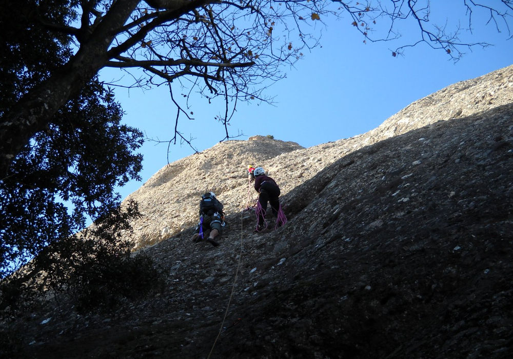
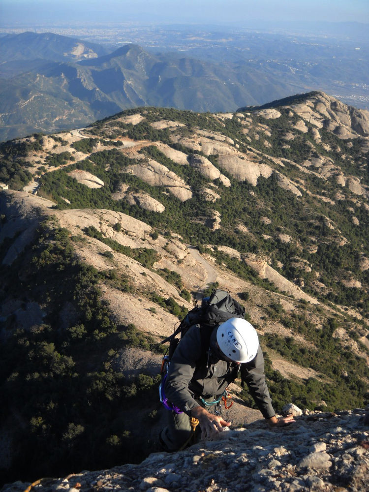
This route is located on the east face of Gorra Marinera, in the Gorras sector, a little above the monastery and facing the Sant Benet sector. The route is really accessible and moderately difficult. A good level V is nevertheless preferable, as the last pitches are rather exposed and airy. The only possible difficulty is orientation, as the spaced points and curved route make things more difficult. It's a long route, ideal for winter mornings when you want to make like lizards (sargantanes) in the sun.
❱❱ Technical summary
❱❱ Access to the place
To get to Montserrat from Barcelona, take the A2 towards Leida. Depending on your approach (see below), either head south towards Collbato (and park at the top of the village) or towards Monistrol de Montserrat and park at the monastery.
❱❱ Map & topo

❱❱ Itinéraire
With 2 possible options. From the north, parking at the monastery. Take the GR 4 to Santa Anna and climb up the PR C-19 to reach the "cami nou de Sant Jeroni" at the foot of the Gorra Marinera (quicker access, but you'll have to deal with the hordes of tourists flooding the area around the monastery).
Alternatively, go south (which is what we did) and park at Collbato, at the top of the village, to take the "Drecera de Fra Gari" path and join the "cami vell de Collbato al monastir". Leave this path at the top and continue up towards Sant Joan, then, descending on the "cami de Sant Joan", cut across the Gorra to emerge at the foot of the path, on the "cami nou de Sant Jeroni" (the nicest option for my taste, but longer - allow a good hour's walk). The start of the Sargantanes is just around the corner, where the path begins to go around the foot of the Gorra (leftmost path).
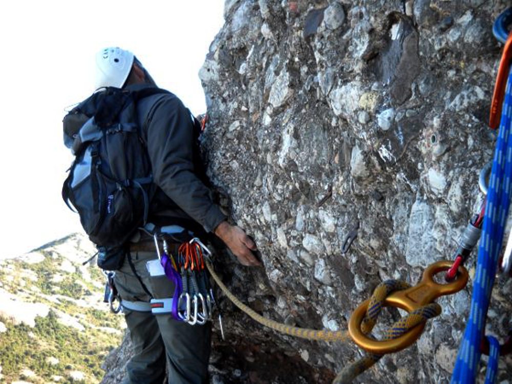
The route, opened in 1981, is east-facing and about 175m long in 7 pitches (25m, 30m, 20m, 30m, 20m, 30m, 20m). Bring 10 quickdraws. Max level is V, sometimes expo.
L1 (25m, IV+)
Start straight up to a first belay (which we leave), then continue slightly to the left to reach belay 1 On the topo maps, the indicated start appears to be further to the right. But there are several 1-length routes at this level and it's a bit confusing.
L2 (30m, V)
Follow the line of nails straight ahead (there is no lateral traverse here as indicated with the right-hand start). Cross a horizontal fault and take one or two finer steps to exit and finish more at Relay 2.
L3 (20m, IV)
Easy, short, straight length. Relay 3 is just below the grove that shelters the Sant Jaume hermitage.
L4 (30m, III)
Cross sideways to bypass the grove and then head up again. Cross the grassy path (possible exit from the route): belay point 4 is above the grassy path (standing belay).
L5 (20m, III)
Continue straight upwards to reach a horizontal fault above the level of the hermit's house (on the right). Relay 5 is placed just above the indentation. L5 and L6 can be done in one length with a 70m rope.
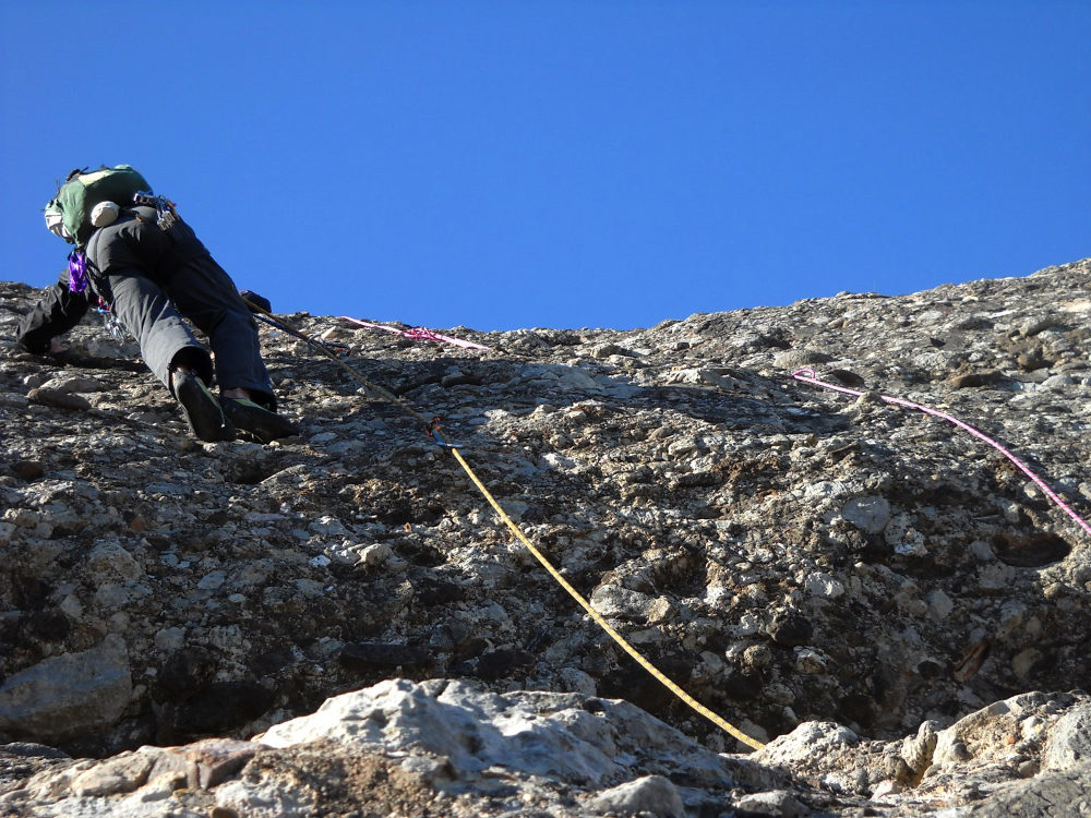
L6 (30m, V)
Start on the left from the belay, skirting the rock to find the nails. The route climbs slightly diagonally upwards (you can see the dots). Exposed section, 10 good metres between the second and third plates (!). Finish straight on, continuing to approach the summit up to belay 6.
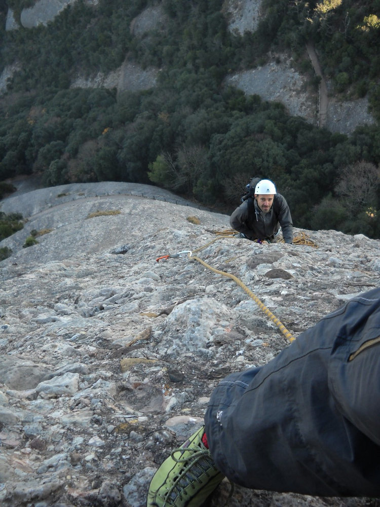
L7 (20m, IV)
End of a fairly easy route, albeit aerial, but short. At the summit, belaying is done on belay 7 fixed to the ground.
From the other side, on the west face, between the Gorra Marinera and the Magdalena Inferior. De-escalate about 30m to find a belay at the "escala de jacob". Abseil about 20m. Follow the approach path in the opposite direction.


Leave a Reply