


TOPO Via ferrata | CLIMBING7.COM
Publié le
 Partager sur WhatsApp
 Partager sur Twitter
Partager sur Instagram
Partager sur Twitter
Partager sur Instagram

 Partager sur Facebook
 Imprimer le topo
 Laisser un commentaire

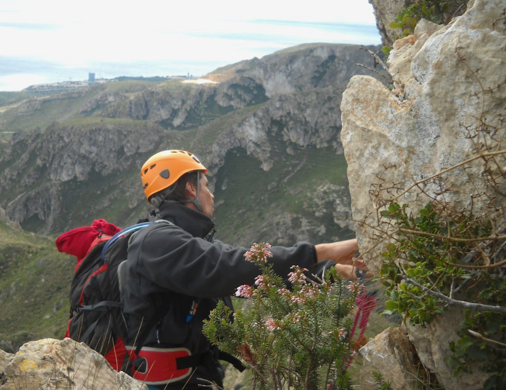
This half-ferrata, half-equipped route follows the great ridge of Les Serres del Mestral, with a breathtaking view of the Tarragon coast and the Ebre delta in the distance. Easy and well-equipped, it is exposed to the Mistral wind! The route winds its way up a long, rocky ridge, taking in the Jordana ferrata before heading straight for the summit, where the view is exceptional. Almost at the same spot, you'll also find the much more difficult (!) ferrata del Aigualcoll, which you can easily combine over 2 days, unless you prefer to retreat to the beach or the streets of Reus, some 30 km away, a beautiful old Catalan town, famous in May for its annual "Trapezi" circus festival. In short, a place full of resources!
❱❱ Technical summary
Type ✦ Via ferrata
Location ✦ Hospitalet del Infant
Region ✦ Catalunya
Country ✦ Spain
Height difference ✦ 300m
Difficulty ✦ K3
Duration ✦ 3h to 3h30
❱❱ Access to the place
From Tarragona, follow signs for Valencia and exit at junction 38 to take the N-340 towards L'Hospitalet del Infant. Before entering L'Hospitalet, turn right onto the N340 towards Valencia and you'll soon find a petrol station on the right, which you need to enter. At the end of the petrol station area, there's a track which goes off in the wrong direction. Further on, the track bends sharply to the right to run alongside the AVE railroad line, then passes under the track on the left and turns left again in the opposite direction along the railroad line. After a few hundred metres, turn right to pass under the freeway (AP7). After this small tunnel, continue left along the freeway. This brings you to the Hospitalet rest area. An "Ermita" sign indicates a track to the right. Follow this dirt track as it goes deeper, this time up into the mountains. At the last fork before climbing to the hermit's house (visible above), take the track to the right. The path is stony and narrower, skirting a small rocky hill on the right. Higher up, on a flat area, is another fork in the road. Park here.
❱❱ Map & topo

❱❱ Itinéraire
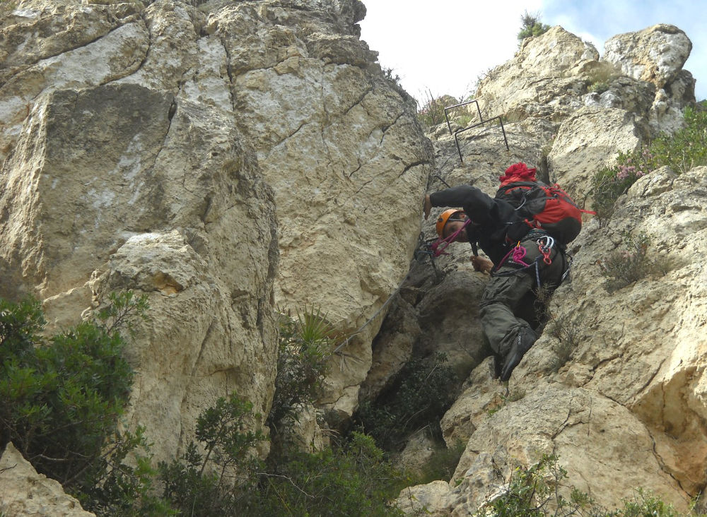
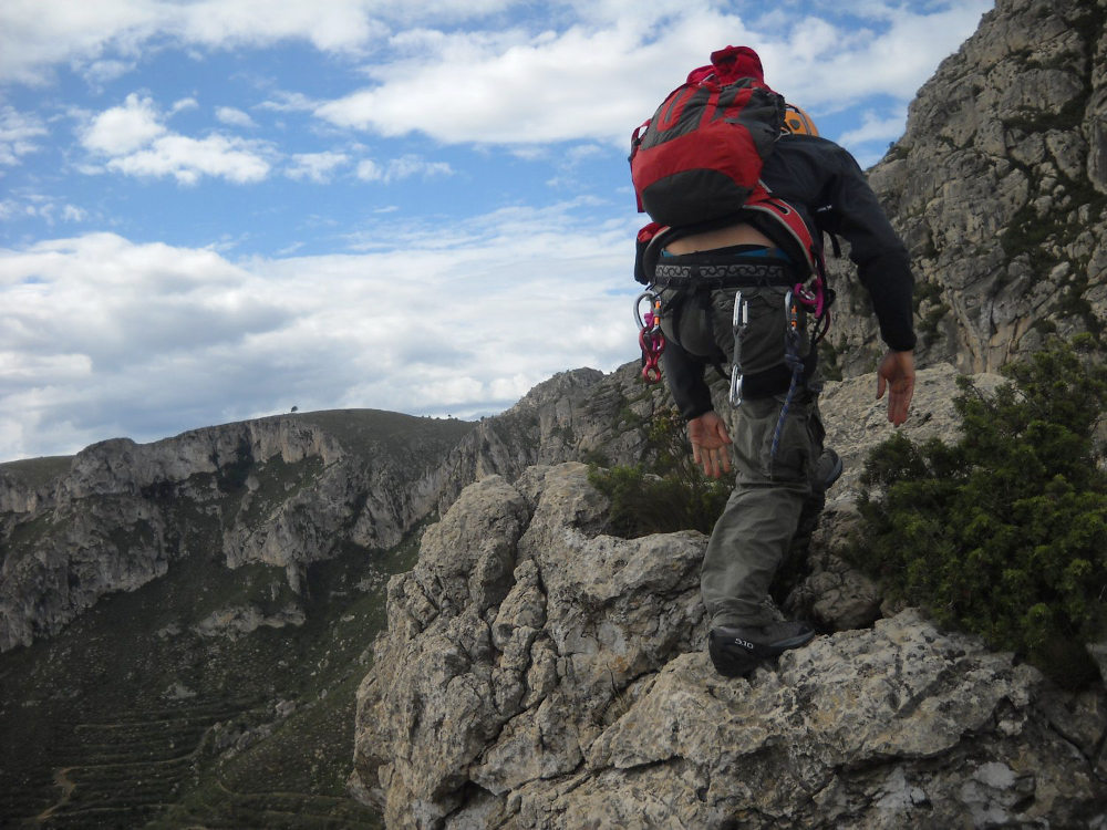
Take the wide path which climbs to the right towards el barranc del forat negre. Above you can see the whole ridge, which forms a kind of cirque, and the 2 electricity pylons at the top right, which mark the end of the ferrata. We pass under an electric pylon and a little further on, we have to take a tiny path which climbs at right angles to the left, at the level of a small wooden post. The path winds its way up to the foot of the ferrata, in front of a rock face with 2 red dots painted on it, the starting mark of the via. Allow 45′ for the car to be parked at the bottom.
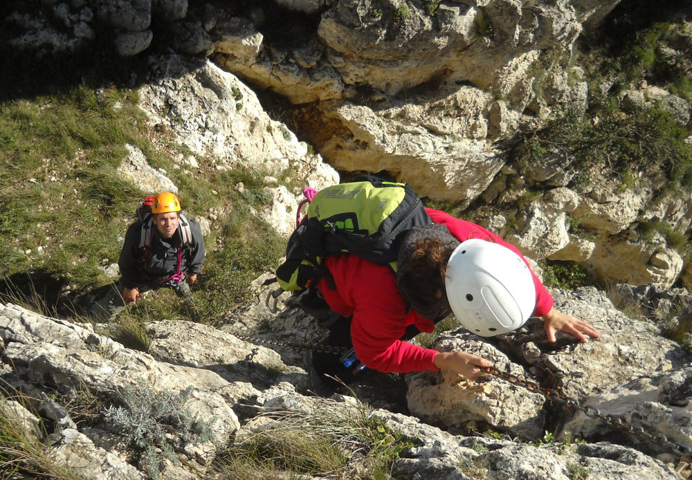
The via ferrata is south-facing and has a 320m vertical drop. A 20m abseil is compulsory, but there are no major difficulties. The equipment is good, even if old in places.
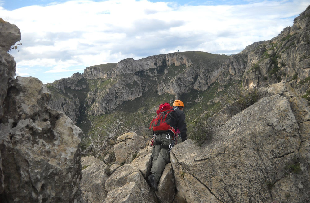
From the Cim dels Avencs, follow the path due east, first on the right-hand side, then alternating right and left. Overall, follow the ridge. After half an hour, you should find 2 passages equipped with chains that point the way. These de-escalations are quite tricky, and belay points are provided for abseiling (in the second one). Allow around 3/4 hour to reach the 2 large pylons from the summit. Then simply descend the wide track along the ridge you've just climbed to get back to the starting point (30′).


Leave a Reply