


TOPO Via ferrata | CLIMBING7.COM
Publié le
 Partager sur WhatsApp
 Partager sur Twitter
Partager sur Instagram
Partager sur Twitter
Partager sur Instagram

 Partager sur Facebook
 Imprimer le topo
 Laisser un commentaire

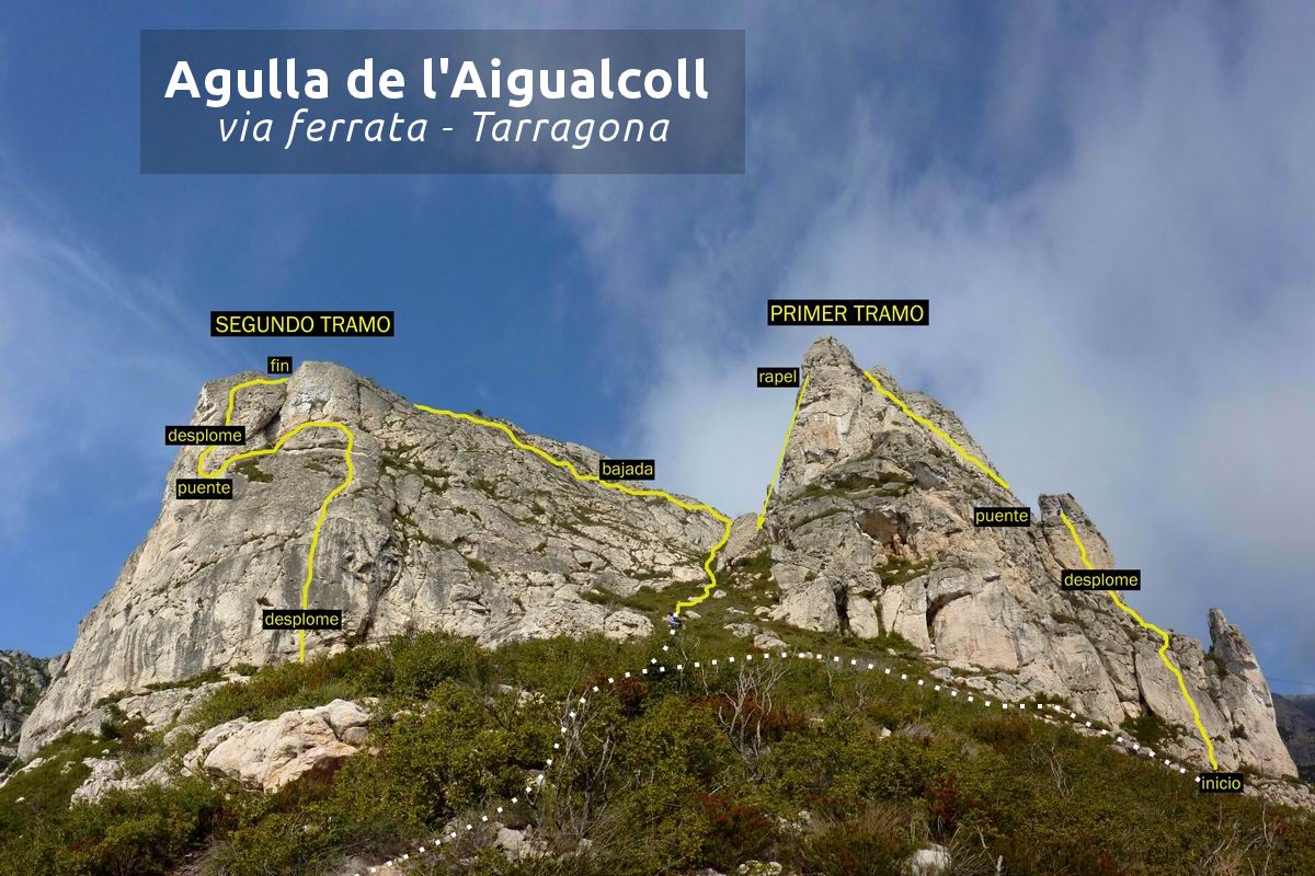
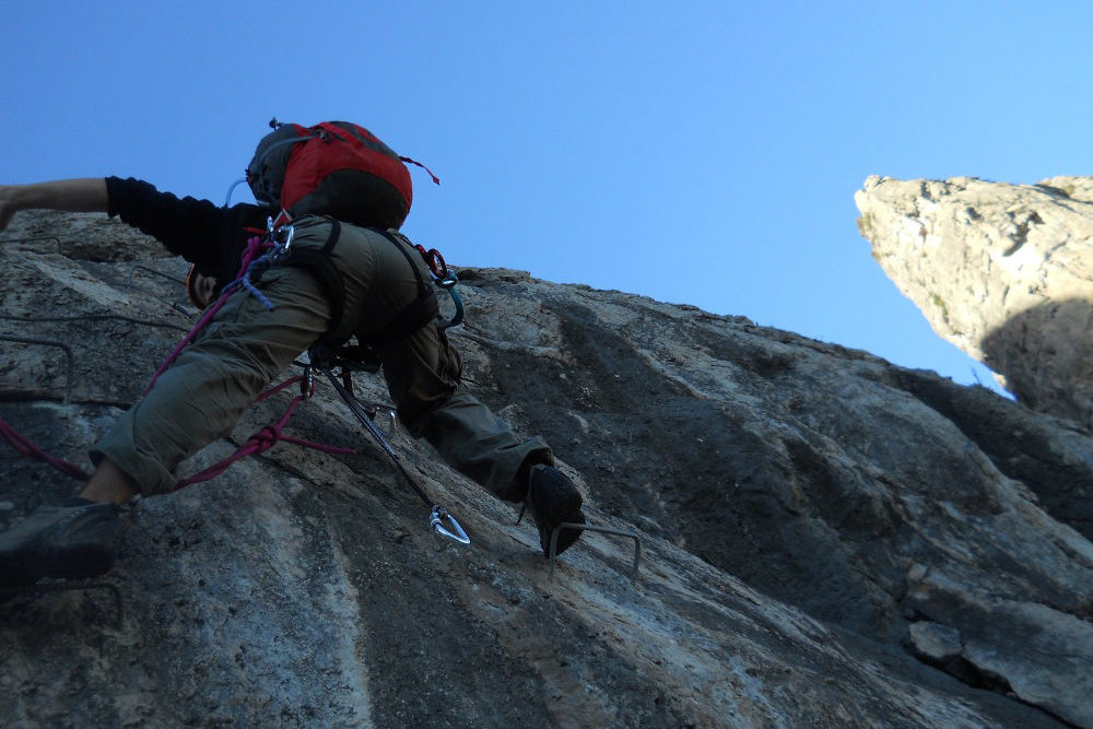
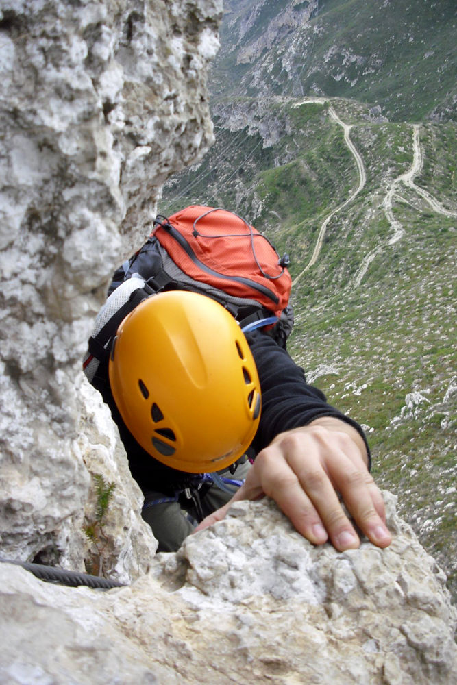
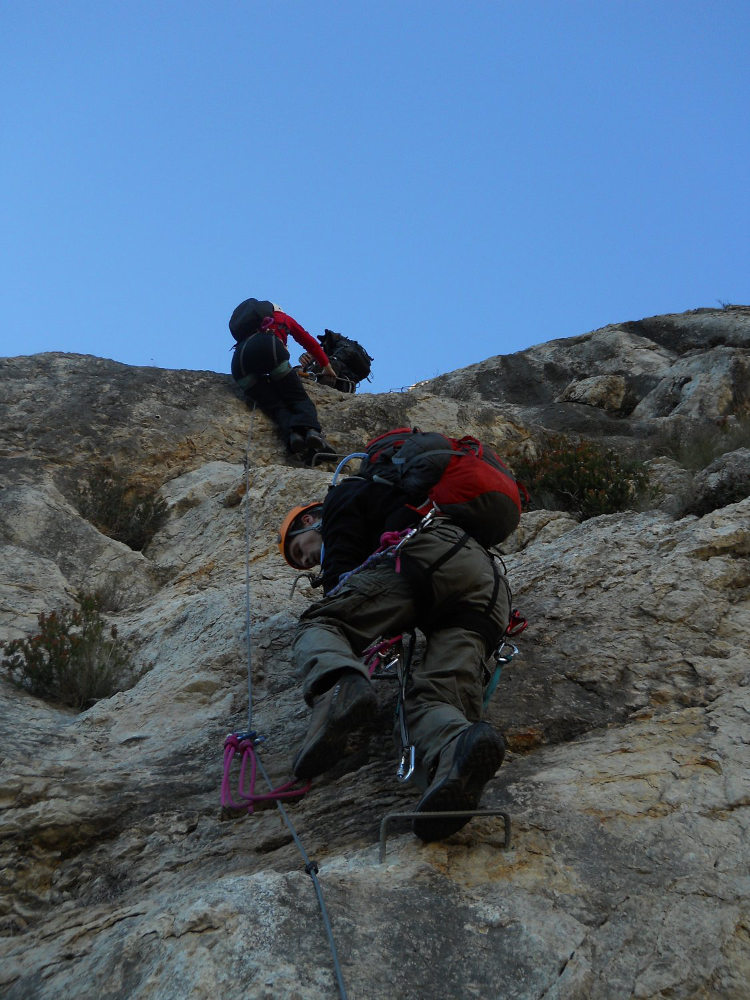
This via ferrata is the little sister of its neighbor, the Serres del Mestral. Much more difficult, technical and vertical, the route includes 2 large rock pitons that you have to climb by force of arms, requiring a good dose of energy and a few essential climbing basics to overcome some not-so-obvious overhanging steps. The route can be shortened at the end of the first part, in the knowledge that the rest is even more difficult, also due to the accumulation of efforts made up to that point. And to top it all off, there's a magnificent panoramic view of the Mediterranean from start to finish. A must-do via ferrata if you're in the area.
❱❱ Technical summary
Type ✦ Via ferrata
Location ✦ L'Hospitalet del Infant
Region ✦ Catalunya
Country ✦ Spain
Vertical rise ✦ 150m
Difficulty ✦ K4
Duration ✦ 3h to 3h30
❱❱ Access to the place
From Barcelona, take the AP7 to Tarragona. Continue towards Valencia and exit at junction 38, then take the N-340 towards L'Hospitalet del Infant. Before entering L'Hospitalet, turn right onto the N340 towards Valencia, and you'll soon find a petrol station on the right, which you need to enter. At the end of the petrol station area, there's a track which goes off in the wrong direction. Take it and follow the gravel path between the olive trees. Further on, the track bends sharply to the right to run alongside the AVE railroad line, then passes under the track on the left and turns left again in the opposite direction along the railroad line. After a few hundred metres, turn right to pass under the freeway (AP7). After this small tunnel, continue left along the freeway. This brings you to the Hospitalet rest area. An "Ermita" sign indicates a track to the right. Follow this dirt track as it goes deeper, this time up into the mountains. At the last fork before climbing to the hermit's house (visible above), take the track to the right. The path is stony and narrower, skirting a small rocky hill on the right. Higher up, on a flat area, is another fork in the road. Park here (or at the previous junction if the track is in poor condition).
❱❱ Map & topo
❱❱ Itinéraire
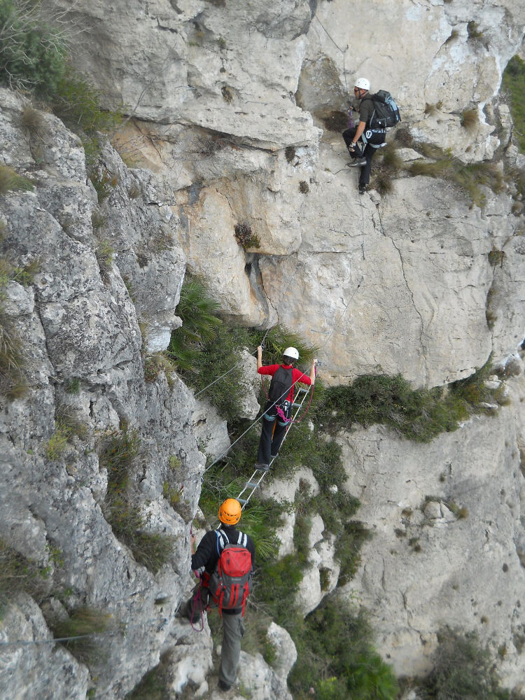
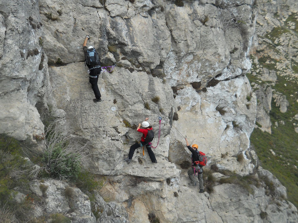
From the fork before the hermit's house, take the path on the right, climb up and at the next fork, continue straight on (leaving the path on the right which leads to the start of the ferrata at les Serres del Mestral). The path descends into a small valley and then winds steeply upwards. You are now on the left of the large ridge of les Serres del Mestral. Follow this wide track as it loops around to the left until it passes under a high-voltage pylon. There's a sign for a short path to the right towards the ferrata. Follow this path (yellow and white markings), keep to the side (don't go down to the track below) and you'll soon find another fork to the right: the path this time climbs steeply towards the 2 big pitons including the agulla de l'Aigualcoll (signpost). 15′ of scrambling later, you reach the foot of the 2 cliffs: follow to the right for the start of the 1st section.
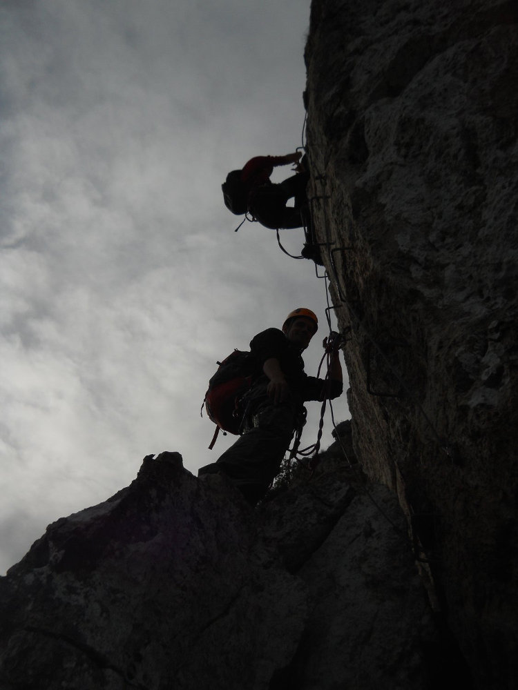
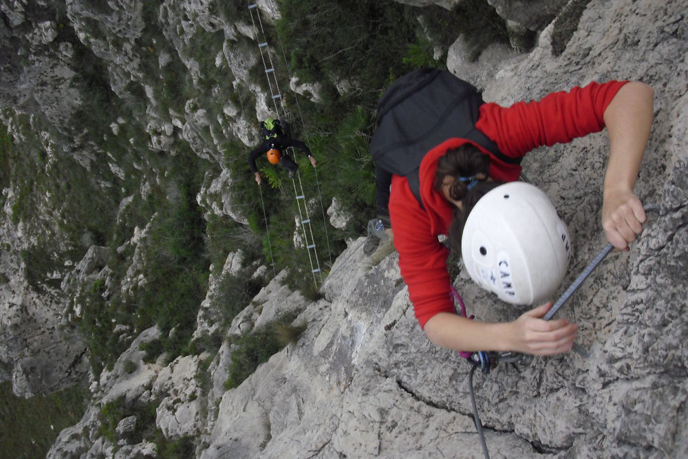
The south-facing via ferrata is long and difficult. The equipment is excellent, but the rungs are often far apart.
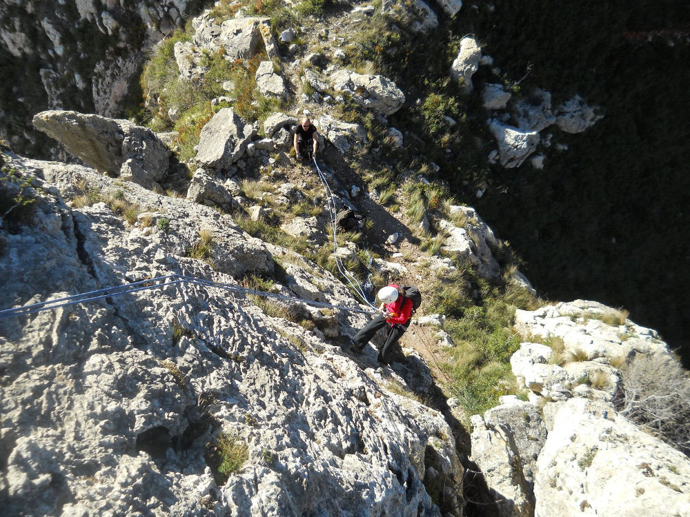
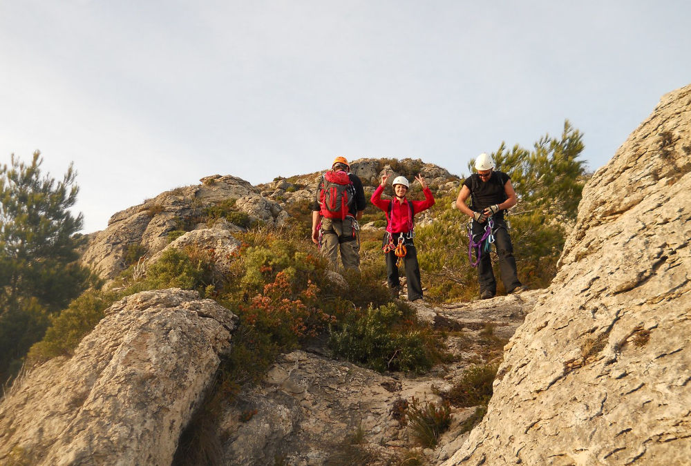
From the summit of the second section, climb a little along the kairns to the north-east. A little higher up, cables point the way back. A long, equipped descent to the col separating the 2 pitons. Return to the downhill path and simply retrace the route in the opposite direction back to our starting point.


Leave a Reply