


TOPO Canyoning | CLIMBING7.COM
Publié le
 Partager sur WhatsApp
 Partager sur Twitter
Partager sur Instagram
Partager sur Twitter
Partager sur Instagram

 Partager sur Facebook
 Imprimer le topo
 Laisser un commentaire

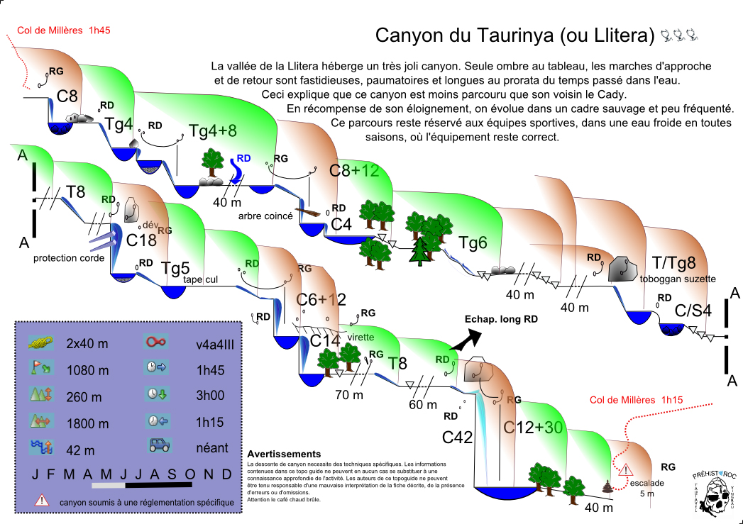
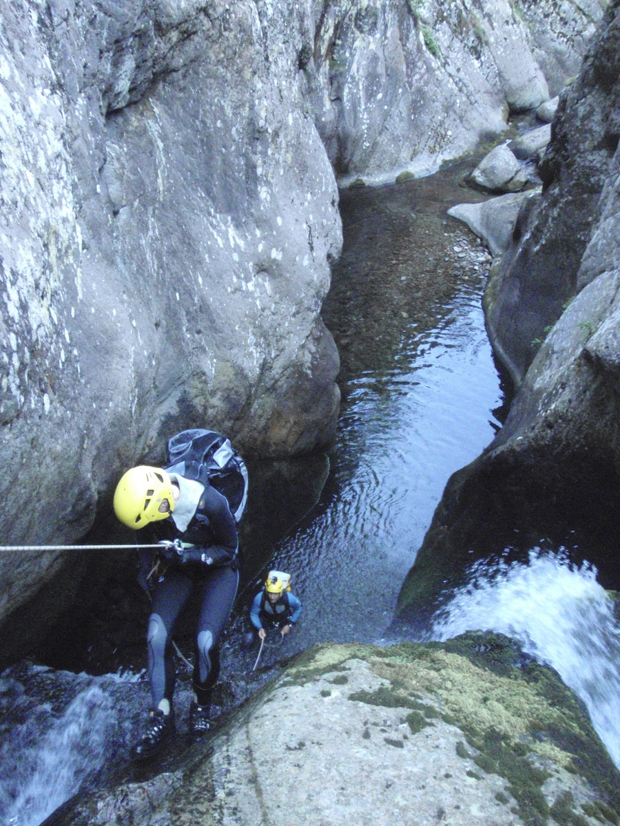
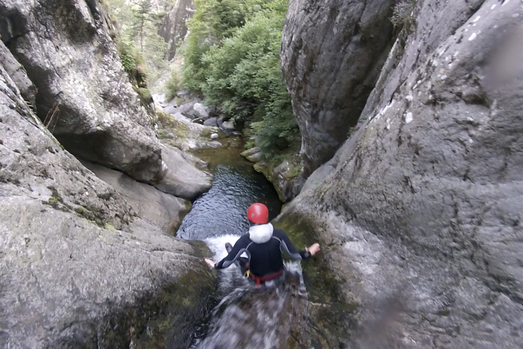
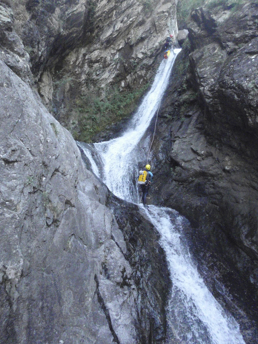
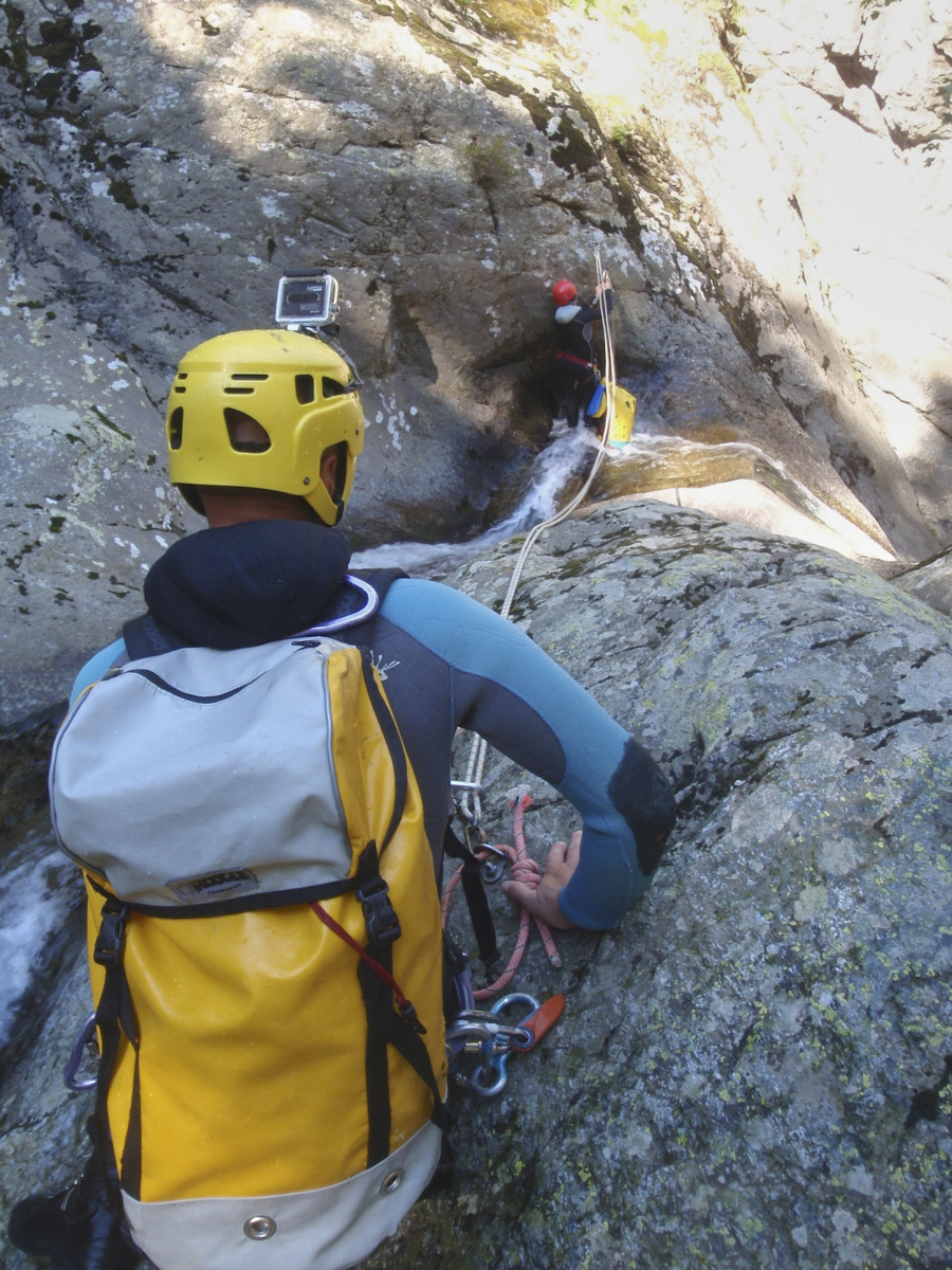
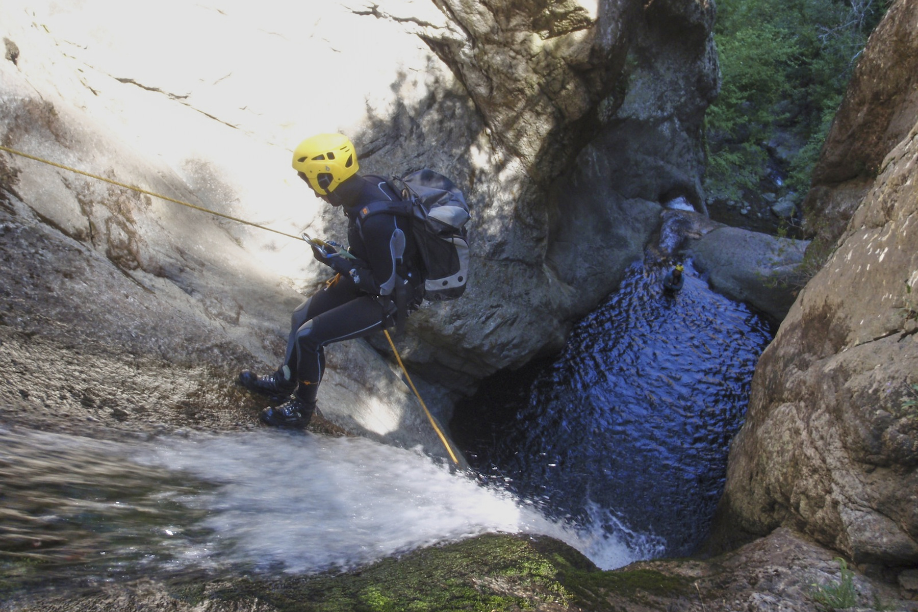
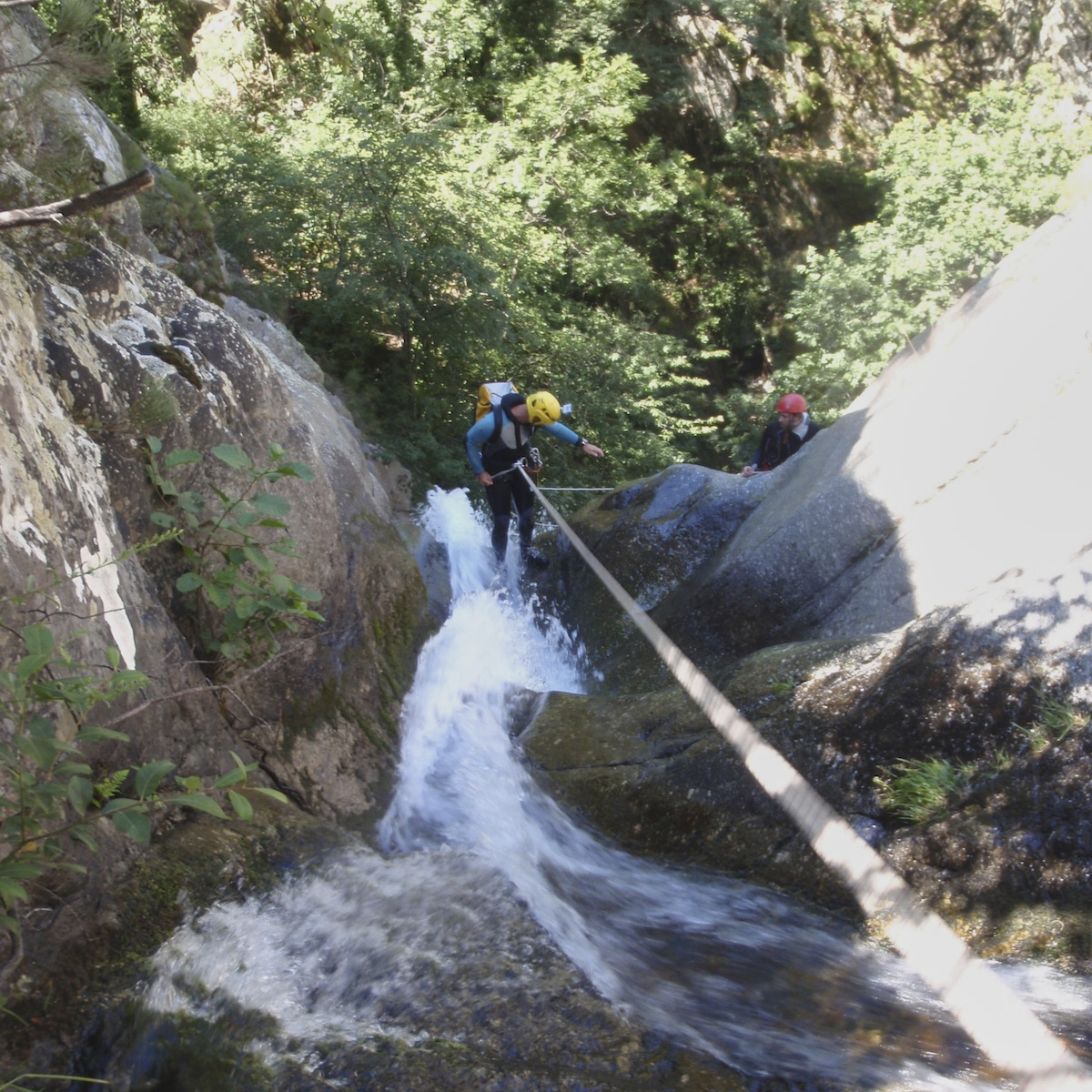
Above the village that bears its name, the canyon du Taurinya is a large aquatic canyon that follows the bed of the Llitera (Tet basin) and is probably one of the most beautiful in the Canigou massif. It's boxed in, long and difficult, with some very vertical slides and pretty waterfall abseils, including the final 45m, all in a very wild atmosphere and very cold water. As a result, we ended up in the hot-spring baths of Thuès, a little above Olette, in the Tet gorges. 40 degrees, a little sulfur, but regenerating. There's even the Thuès canyon, which starts at 45°, a good idea for a return trip to the area. Thanks to Rémi for guiding us, for the topo and for all the info.
❱❱ Technical summary
Type ✦ Water canyon
Location ✦ Fillols
Region ✦ Pyrénées-Orientales
Country ✦ France
Vertical rise ✦ 260m
Distance ✦ 1080m
Difficulty ✦ v4-a3-III
Max abseiling ✦ 40m
Duration ✦ 3h to 4h
❱❱ Access to the place
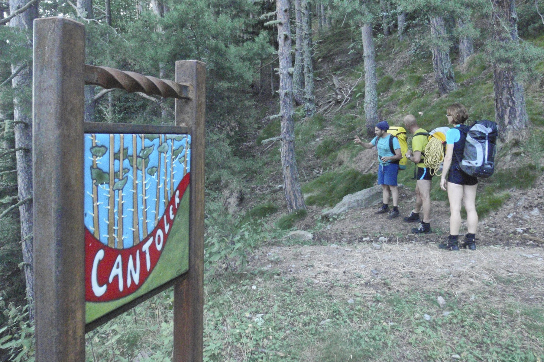
From Prades (between Perpignan and Font-Romeu). Head for Massif du Canigou, Taurinya and Fillols (south of Prades). Climb up, pass Taurinya and just before Fillols, just after the km 10 milestone at Col de la Millères, turn left towards Camping des Sauterelles (an excellent base camp for canyoning in the region). Leave the car there, alongside the campsite.
❱❱ Map & topo
❱❱ Itinéraire
Long. Follow the wide path that runs alongside the campsite and, just after the first bend, pick up the small path (yellow markings) that cuts through the switchbacks. At the 9th path (see map), follow the track to bend T12. Here, go straight down to the left under the trees. After a small series of tight switchbacks, continue along the path, going off to the right, passing a scree and continuing downhill to reach the torrent bed.
The canyon, which faces north-west, can be climbed from the top (full descent). Here we describe the downstream section, which is already quite long! 260m vertical drop, an obstacle at the end with the waterfall that can only be abseiled at low water (otherwise, go round to the right along a path). No need to worry about equipment, just bring a 2x40m rope.
Continue down the torrent bed until you soon come across 2 large cairns indicating the canyon exit on the left. A short climb brings you to the path on the right that leads to Taurinya (red dot on the bomb). Continue for quite a while until you pass a small pass to the left of a piton visible from the path. From here, fork left to reach the starting point, the Sauterelles campsite.


Leave a Reply