


TOPO Canyoning | CLIMBING7.COM
Publié le
 Partager sur WhatsApp
 Partager sur Twitter
Partager sur Instagram
Partager sur Twitter
Partager sur Instagram

 Partager sur Facebook
 Imprimer le topo
 Laisser un commentaire
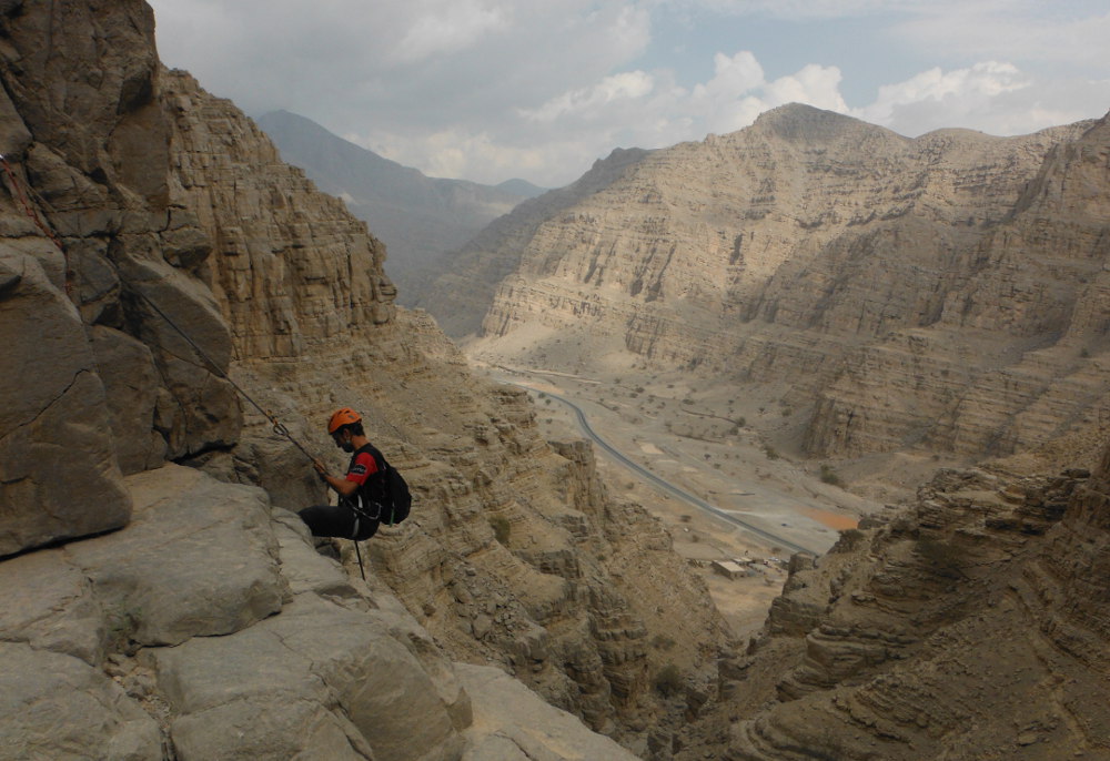
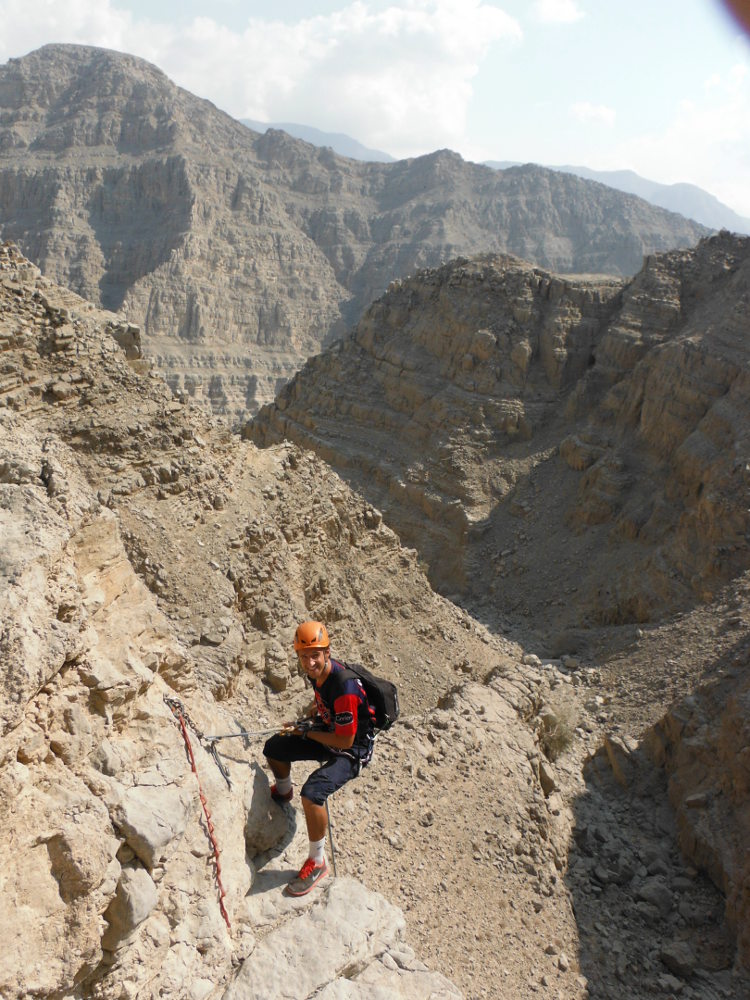
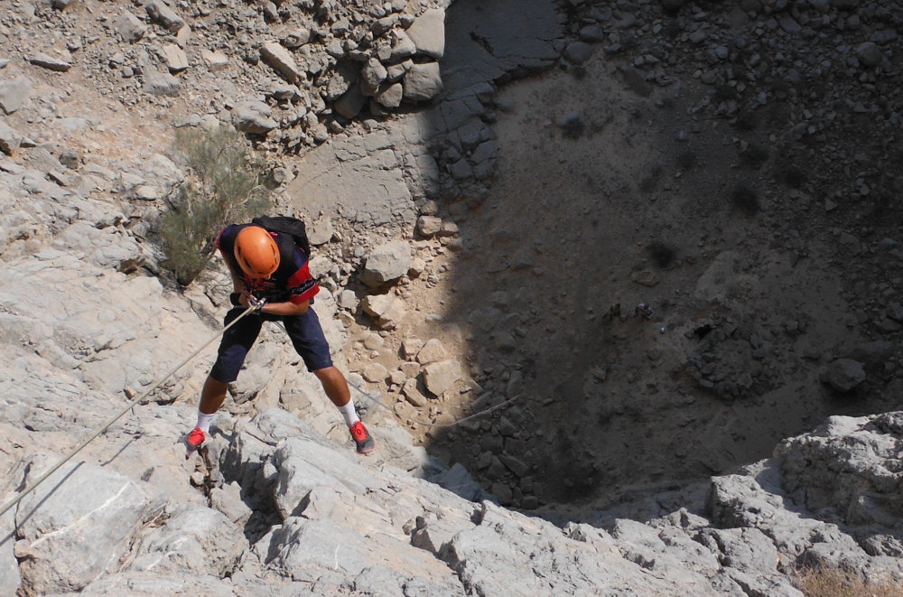
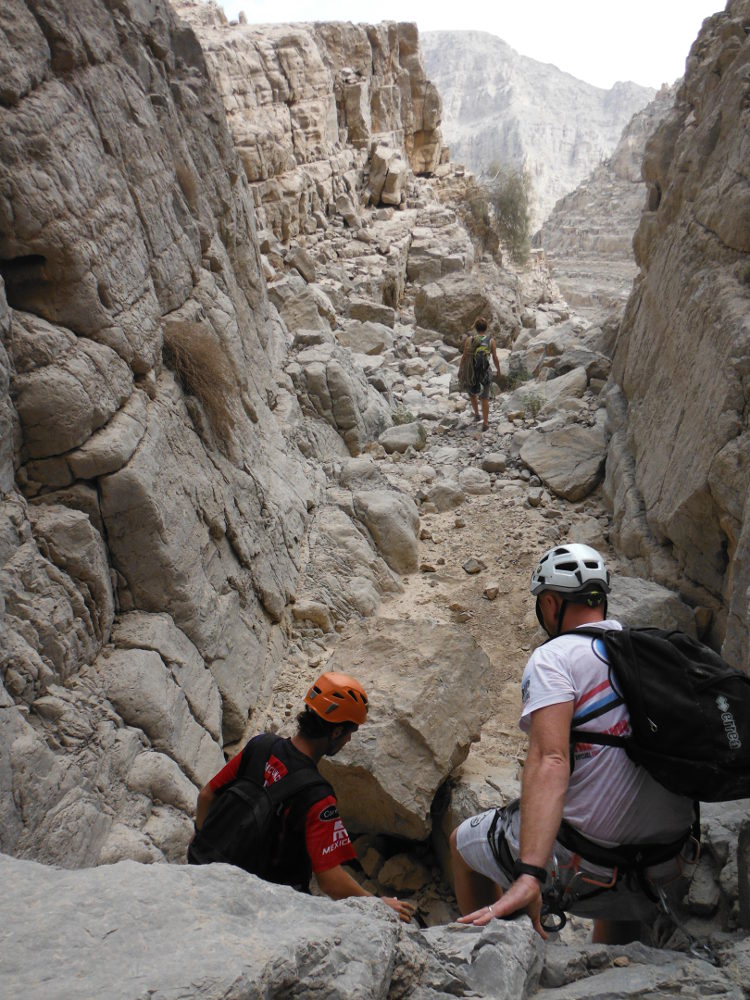
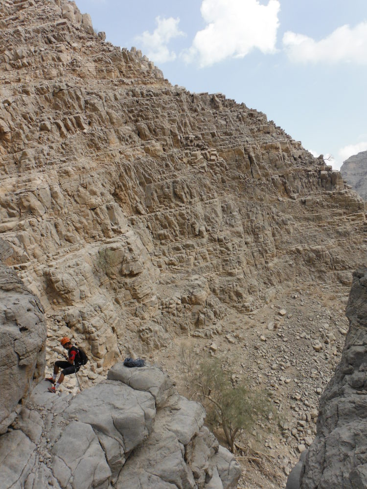
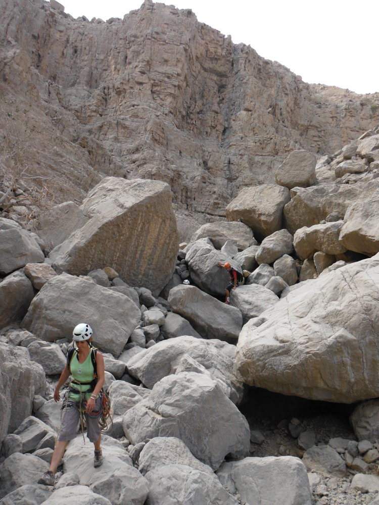
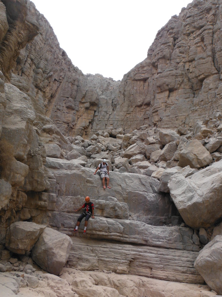
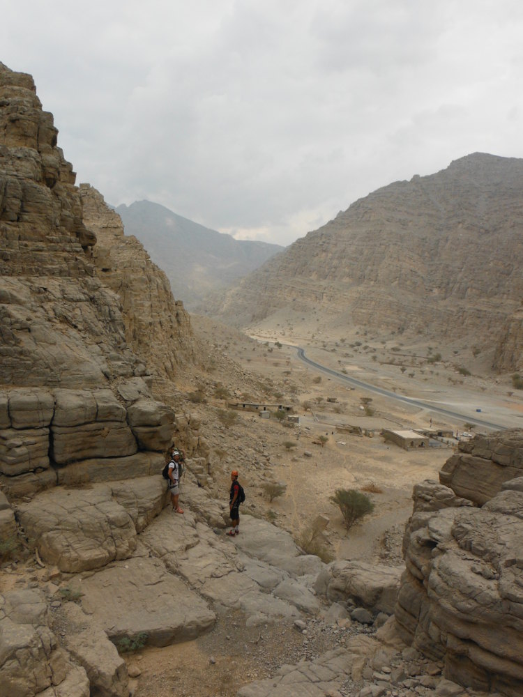
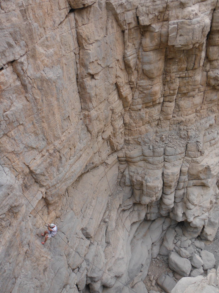
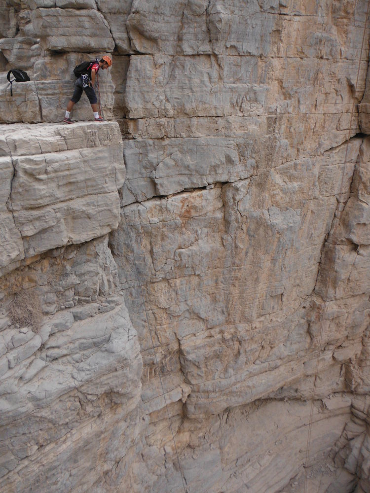
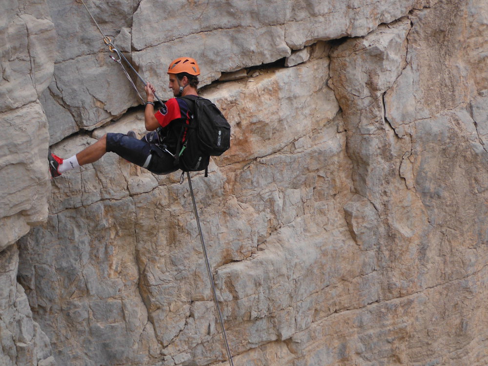
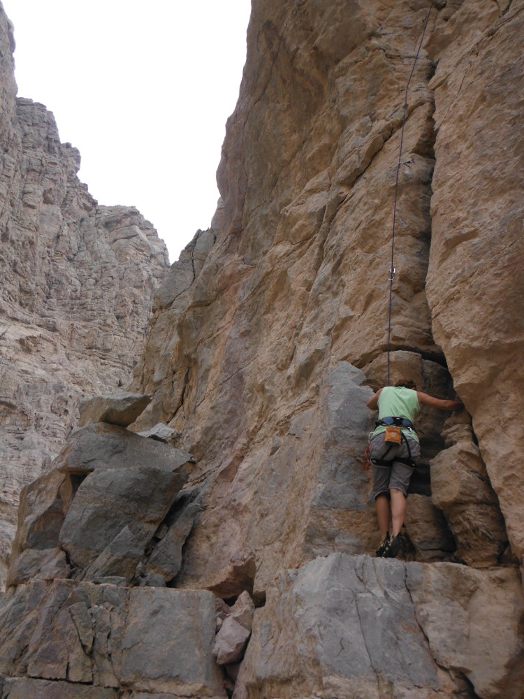
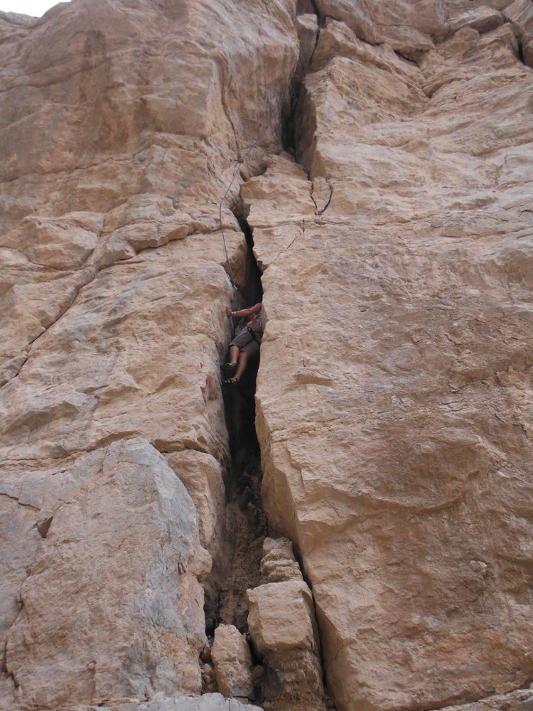
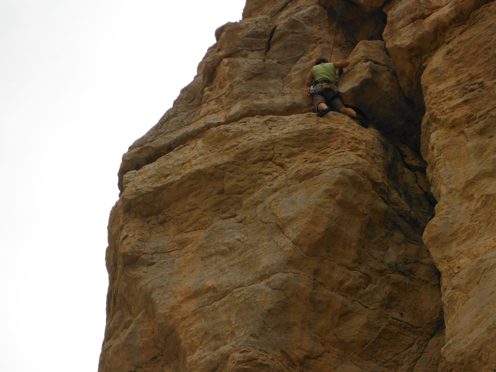
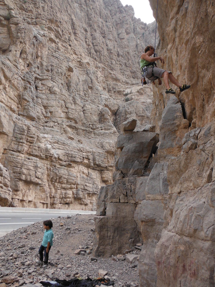
As the weather is more pleasant, we return to wadi Shah to pass Thunder Canyon again and take a few more precise notes for the topo. It's a fine approach, admittedly physical, but one that enables us to gain height quickly and dominate the wadi and beyond. The descent of the canyon presents no difficulty apart from the impressive, aerial 1st abseil and a few jumps to unclimb. Fairly open, the route crosses a first large cirque before narrowing a little for a series of waterfalls interspersed with a passage through a chaos of huge boulders that clutter up the torrent bed. The route is obvious, even if in the chaos you sometimes have to look for the best option. No escape all the way. Note that the R3 and R5 cascades are now equipped with sport climbing routes, with trad climbing on R5 and sport climbing on R3.
❱❱ Technical summary
Location ✦ Wadi Shah
Region ✦ Ras Al Khaimah
Country ✦ United Arab Emirates
Type ✦ Dry canyon
Vertical rise ✦ 200m
Difficulty ✦ v4-a1-III
Max abseil ✦ 55m
Duration ✦ 4h to 5h
❱❱ Access to the place
From Ras El Khaimah, head for the entrance to Wadi Bih before turning left into Wadi Shah. Further on, the wadi starts on the left at the following points: 25°51'47.46″N 56°05'51.39″E
❱❱ Map & topo

❱❱ Itinéraire
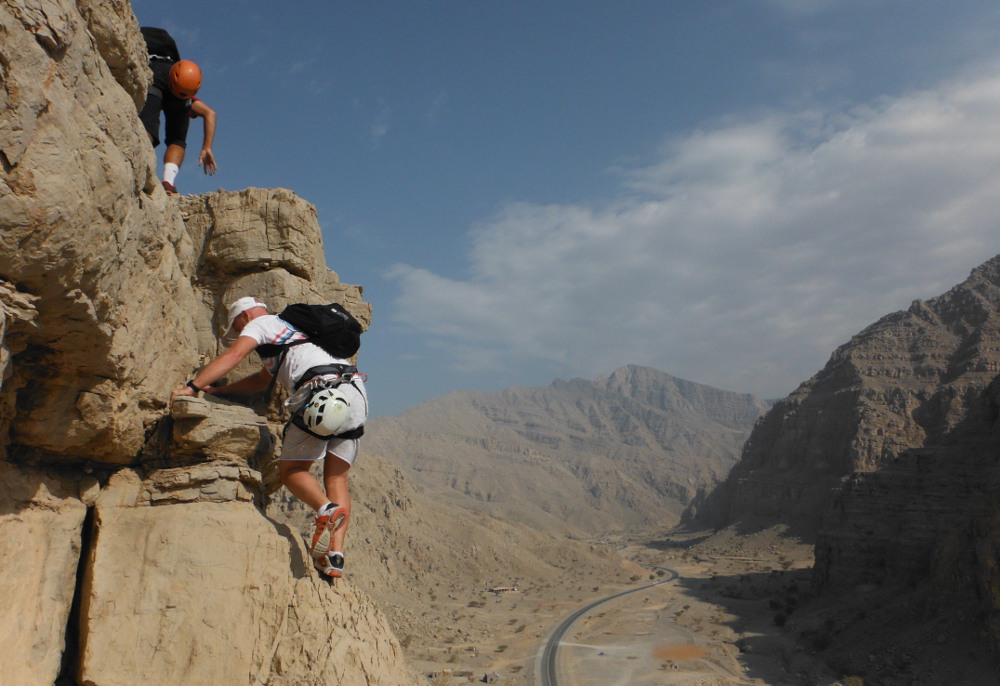
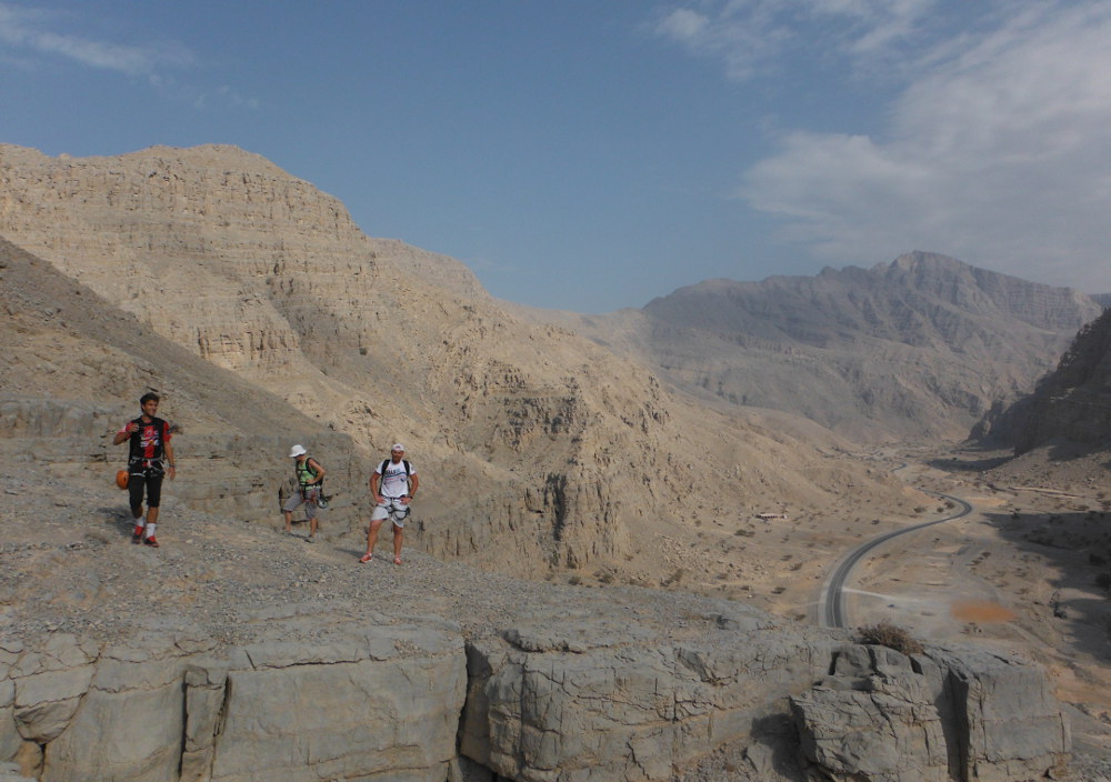
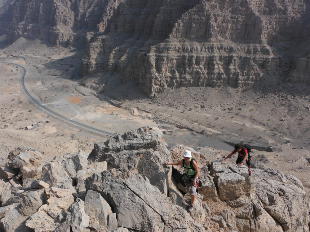
Not an easy task. Basically, you have to find an absolutely unmarked path up to the first plateau on the opposite side. Then continue along the ridges, sometimes skirting around to the right, climbing 2 or 3 times over slightly exposed III or IV boulders to finally reach the small plateau at the very top bordering the canyon. Once you reach the edge of the plateau, follow the canyon entrance to the right, in the shape of a large cirque, to reach the bed of the old water passage. You then come to the 1st large waterfall with the 1st belay. A few cairns along the way, but difficult to see in all this rocky terrain!
The canyon is exposed East, North-East and has 5 abseils (55m, 20m, 35m, 30m, 10m). The GPS starting point is 25°51'46.15″N and 56°05'30.93″E. All belays are fully equipped.
We emerge at road level, just a little higher than the parking lot.


Leave a Reply