


TOPO Hiking | CLIMBING7.COM
Publié le
 Partager sur WhatsApp
 Partager sur Twitter
Partager sur Instagram
Partager sur Twitter
Partager sur Instagram

 Partager sur Facebook
 Imprimer le topo
 Laisser un commentaire
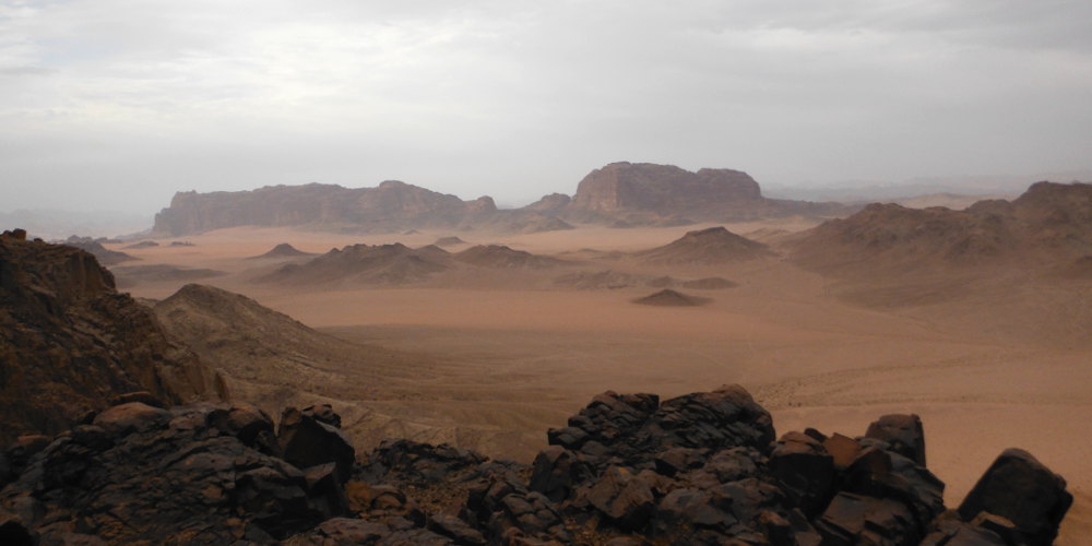
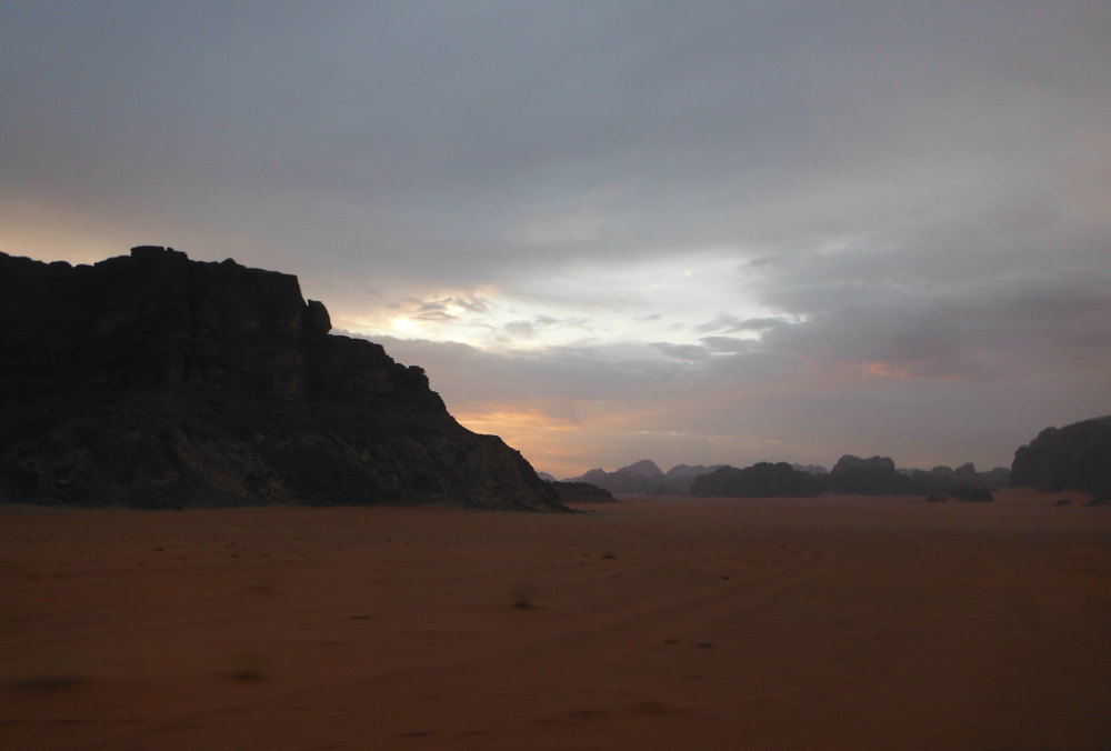
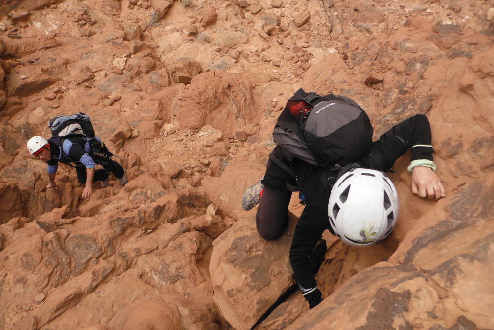
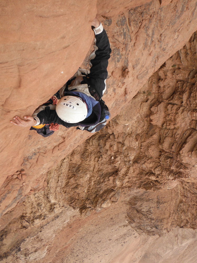
This route is one of Wadi Rum's great classics. Opened by the Bedouins and also known as the Nabatean Route, it provides access to the summit of Jebel Rum via the west face, before eventually descending on the east side via Hammad's Route, bivouacking at the top if time is short. Between trekking and climbing, the route is long, rather difficult to follow and includes some climbing passages in the well exposed III/IV, even hyper-exposed! Magnificent sandstone rock in orange, black, violet and white, a super aerial route and an impressive finale over the domes. With a misdirection at the start and an even more difficult round trip on Sabbah's route, we eventually found our way back, but didn't have enough time to reach the summit. A route to be repeated, with longer days...
❱❱ Technical summary
❱❱ Access to the place
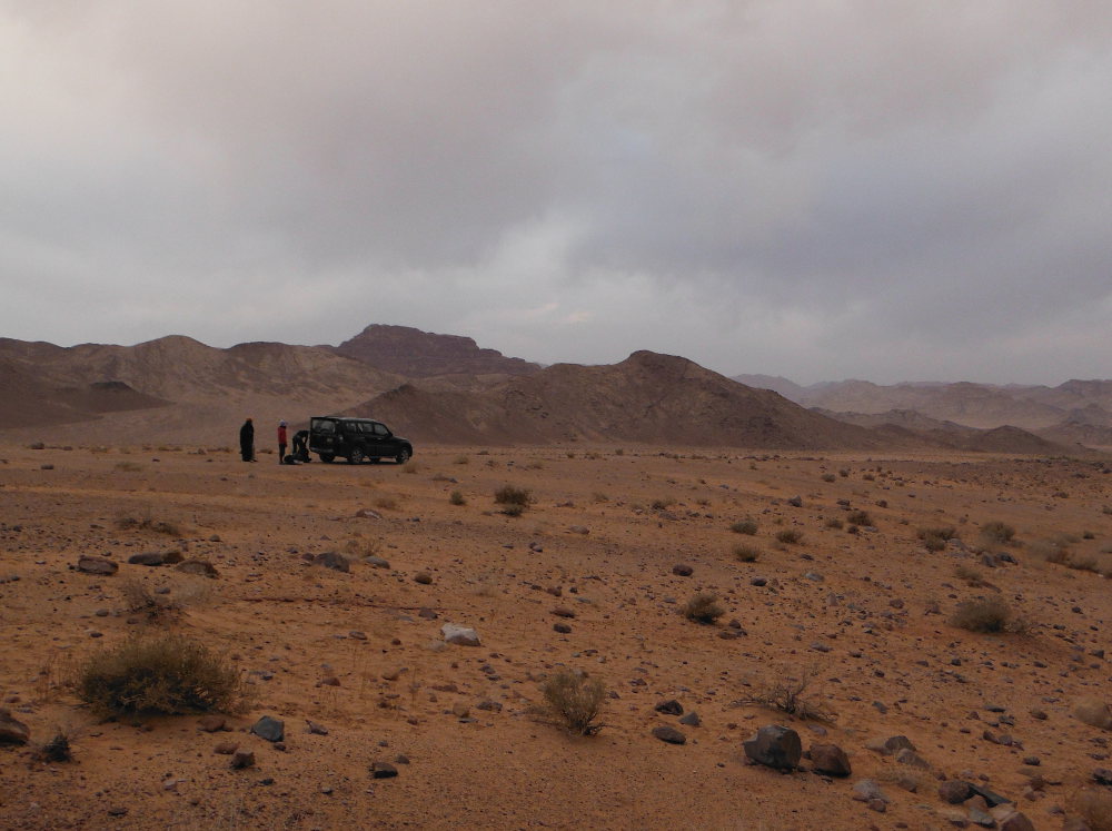
From the village of Rum, take the 4×4 track around Jebel Rum to the south. It takes around 20′ to reach the east face. The best way is to take a Bedouin cab to the start of the track, on a desert plain in the middle of nowhere.
❱❱ Map & topo

❱❱ Itinéraire
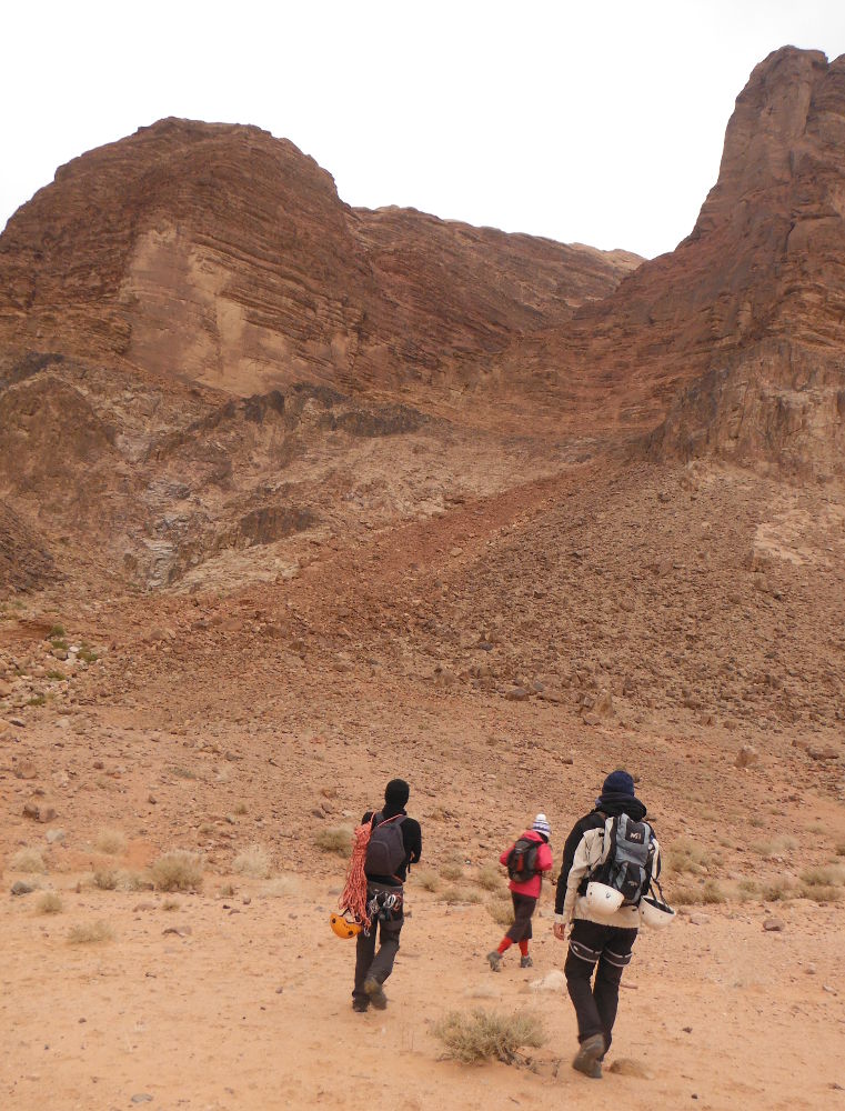
It "s obvious... once you "re there. Walk towards the large scree that leads to a ledge above a large patch of pitch-black rock. You'll soon find cairns pointing the way.
The Thamudic route has a westerly exposure and no equipment is in place. The route is really not obvious, even if you know which way to go. Be careful not to take the Sabbah's route to the right at the entrance to the canyon, which we did without paying much attention (if you climb a sloping dihedral that ends with a small knotted rope, it's not that way!) Allow a good 4 hours for the summit if you don't make any orientation errors. 1 exposed IV pitch at the end of the ledge and a very exposed III/IV slab above (take out insurance if you're not confident, as there's no room for error...oops).
Part 1: climb the scree
Diagonally to the right, turn left onto a rocky ledge bordering on black. Cross completely to the corner.
Part 2: enter the gorge
Turn right and climb up several flights of steps on the right flank. Don't follow the cairns that go up at one point, but cross over the ledges to reach the top of the waterfall in the heart of the canyon. You then reach the bed of the wadi and cross the 3 small potholes, perhaps filled with water, with a slightly acrobatic exit step. Continue walking in the sand.
Part 3: join the ledge
Further on, in a scree slope, climb 90° to the left to reach the long ledge that heads west on the other side of the canyon (you're actually making a U-turn). Follow the channel, which is actually wide, with lots of gas on the left. Some Nabatean engravings on the path, go to the end and finish by climbing 1 step to reach a platform with trees. Approx. 1h30 from start.
Part 4: climb the waterfall
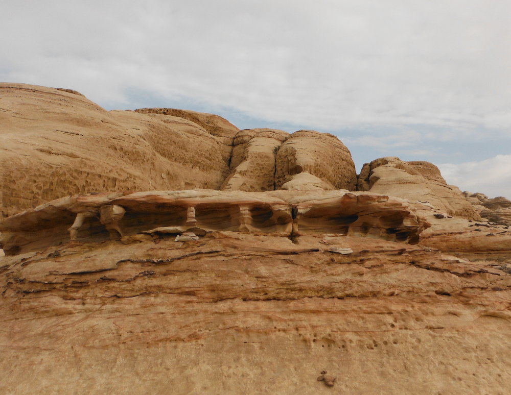
At the bottom of the basin, climb up the bed of the small gorge and at the exit go completely left onto the large sloping slab. A very exposed passage with good grip! Higher up, you reach a wide plateau with a breathtaking view. Continue upwards and go around a little to the right to reach the first domes, where the color suddenly changes.
Part 5: the domes
We still have to climb the highest dome to reach the summit, but we didn't have the time to do it!
You can continue the crossing and go down the other side (cf. Hammad's Route), but it's very long. We simply turned around and retraced our steps in around 2 hours.


Leave a Reply