


TOPO Snowshoeing | CLIMBING7.COM
Publié le
 Partager sur WhatsApp
 Partager sur Twitter
Partager sur Instagram
Partager sur Twitter
Partager sur Instagram

 Partager sur Facebook
 Imprimer le topo
 Laisser un commentaire

Take advantage of the snow and fine weather to celebrate the New Year! This time we'll meet at the Col du Portillon, on the border with the Val d'Aran, for another fine snowshoe hike to the Col de Barège, a wide border gully, before climbing the Tuc del Plan de la Serre at 1977m, which juts out to the north and offers breathtaking 360° views over the Luchonnais, the plain and the Aneto massif. An easy hike, with no difficulties other than the 700m vertical drop in the snow, and an obvious route to follow. Other options: climb to the south of Pic d'Aubas at 2071m, or make the loop back down to Luchon via Hospice de France, which presupposes having left a car there at the start.
❱❱ Technical summary
❱❱ Access to the place
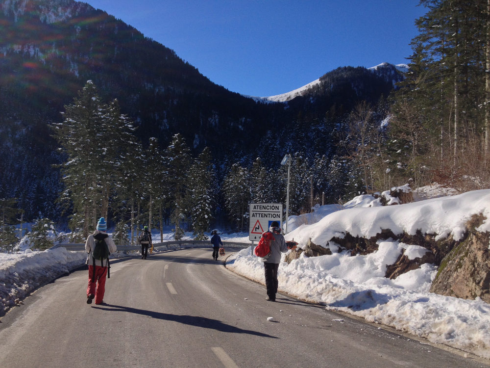
Go to the Col du Portillon, on the border between Luchon and the Spanish Val d'Aran, either on the French or Spanish side. It's best to go via Luchon, so you can rent snowshoes without too much difficulty. Park in the small parking lot at the pass.
❱❱ Map & topo

❱❱ Itinéraire
Go down the Spanish side of the road and at the bottom of the 1st large bend to the left, fork right onto the wide signposted path (piste in summer). The Col de Bargège is visible from the pass and the route is obvious.
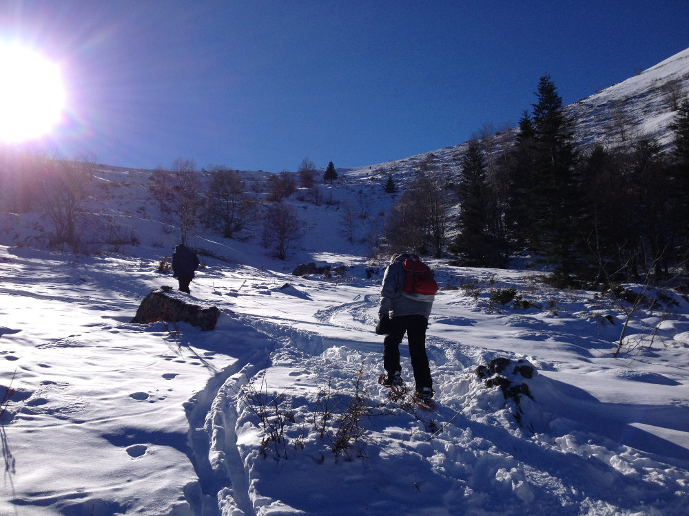
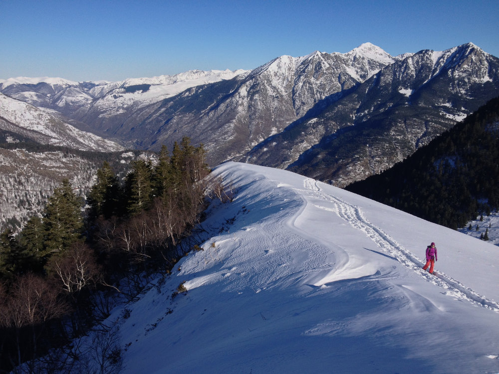
The hike has a northerly exposure under the trees up to the pass, then a southerly and south-westerly exposure thereafter, so it's sunny.
Col de Barège
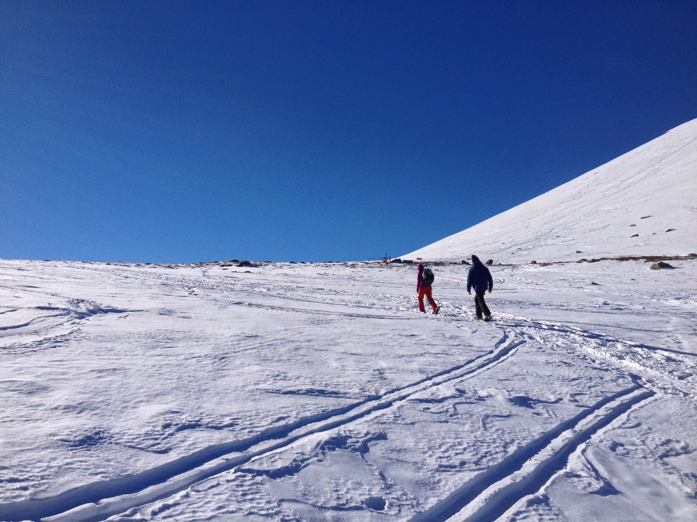
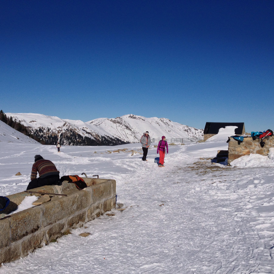
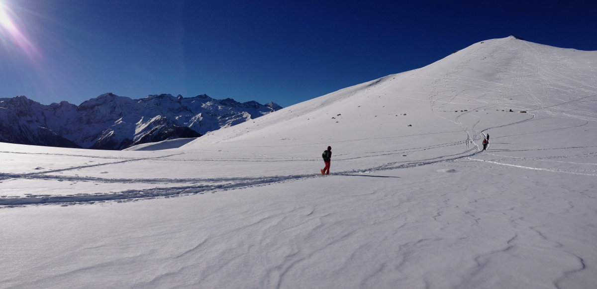
Follow the large laces of the track that climbs up very gradually, or cut off (after a large rock on the right, marked white/yellow path) to avoid the very large final lace. Once out of the forest, you're below the pass. All you have to do then is climb the open section leading to the wide goulet and the small refuge. Magnificent views of the Luchonnais and the Aneto massif.
Tuc du Plan de la Serre
This is the summit on the right as you look towards Luchon (i.e. north-west). Yaw up the first visible summit (steeper) and then follow the rounded ridge for a few hundred metres to reach the summit. A balcony overlooking the region, with views of Super-Bagnère, the central Pyrenees and the valley from Saint Béat to Luchon.
This is the downside of the hike, since you have to make a round trip. But the descent is much quicker, cutting through the snow from the Tuc to the pass and then cutting all the switchbacks from the entrance to the forest to the Col du Portillon.


Leave a Reply