


TOPO Hiking | CLIMBING7.COM
Publié le
 Partager sur WhatsApp
 Partager sur Twitter
Partager sur Instagram
Partager sur Twitter
Partager sur Instagram

 Partager sur Facebook
 Imprimer le topo
 Laisser un commentaire

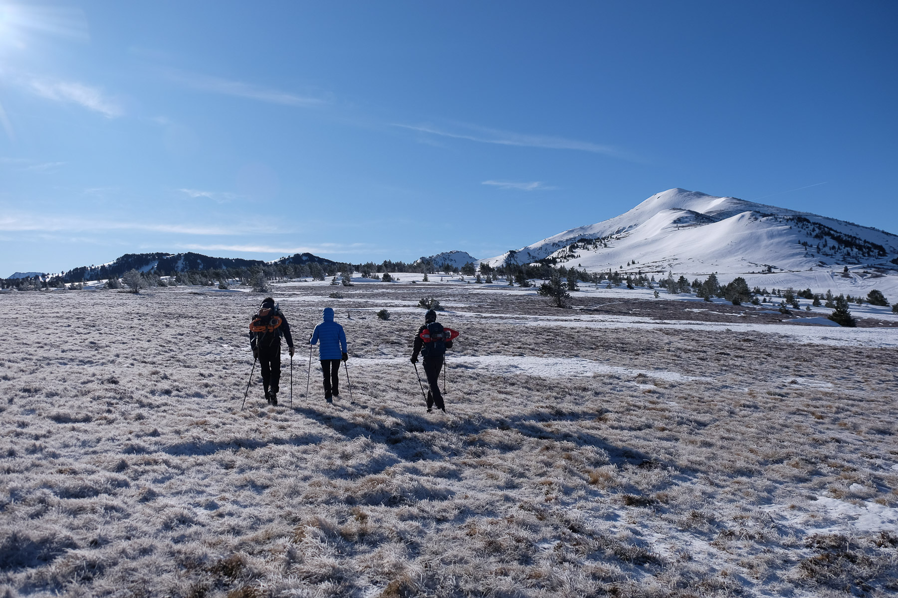
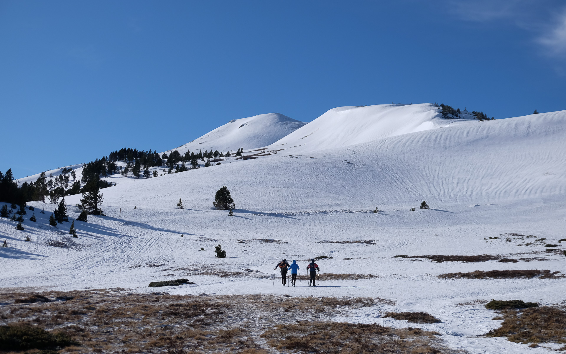
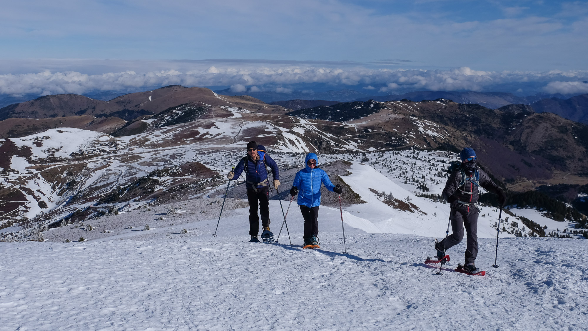
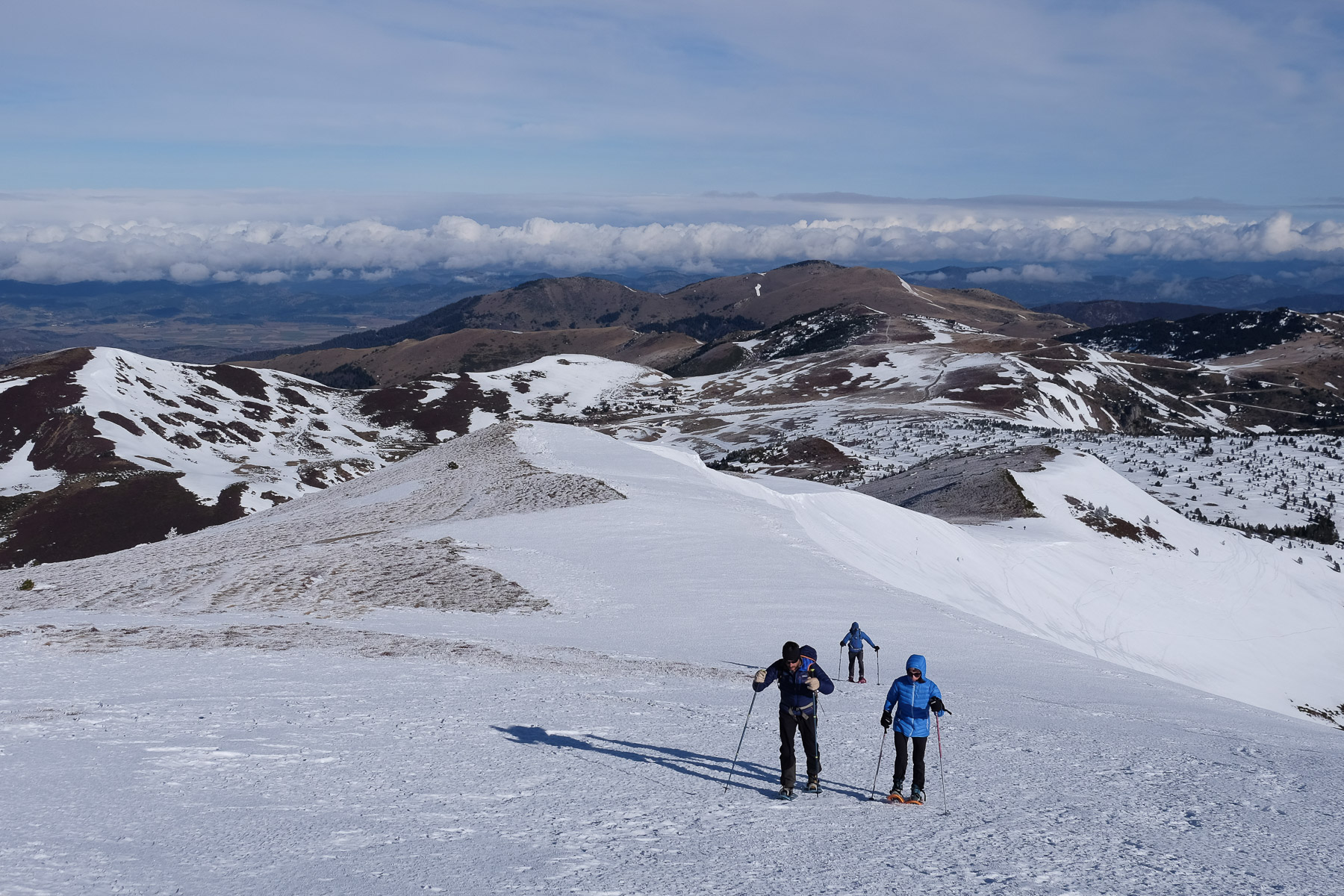
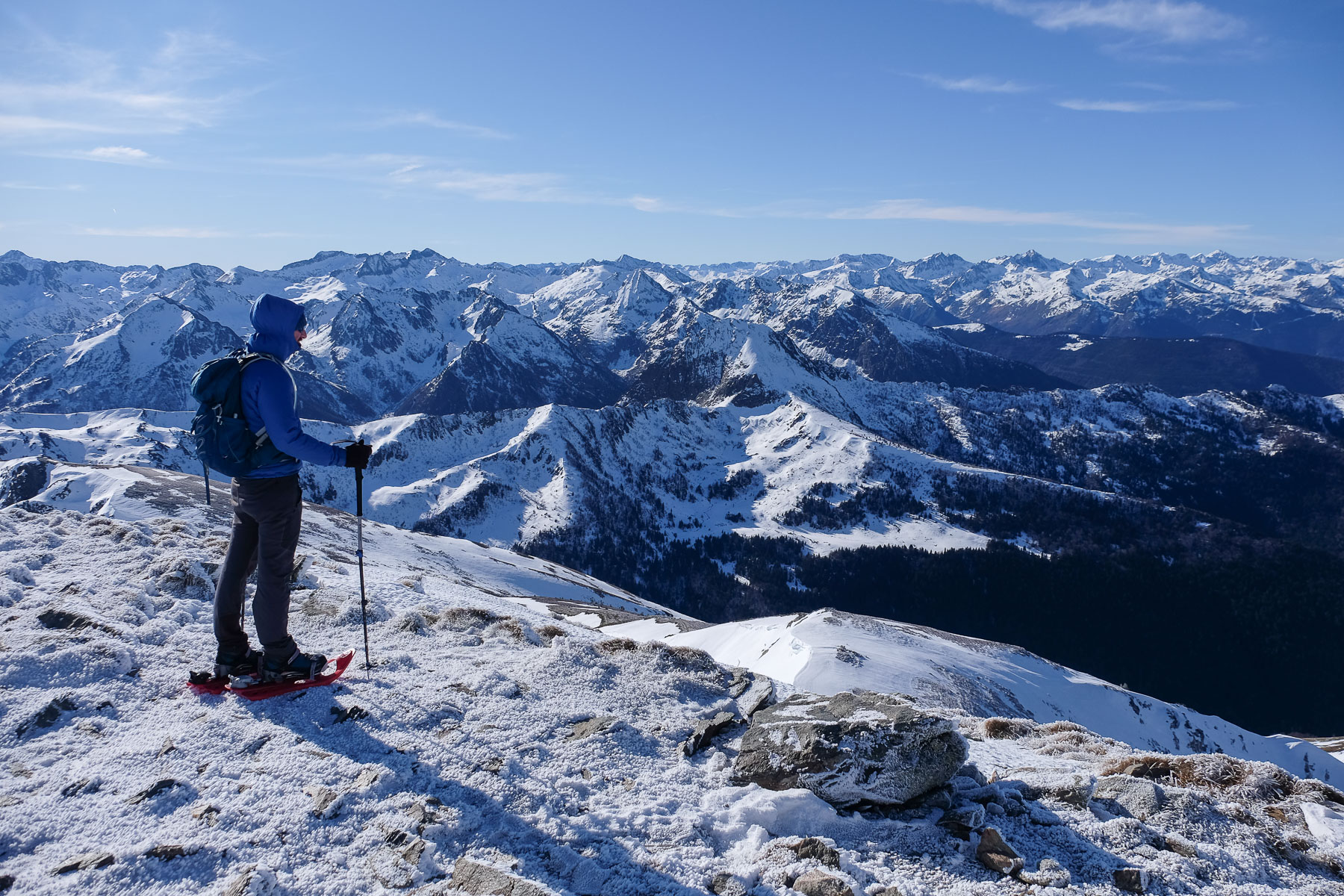
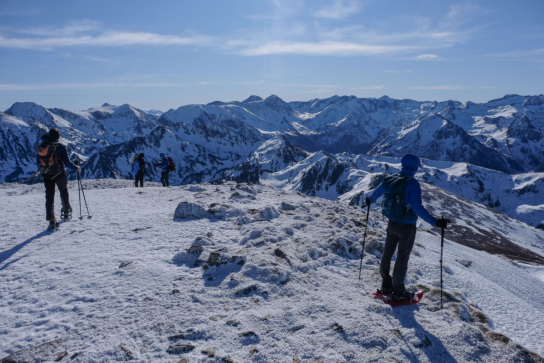
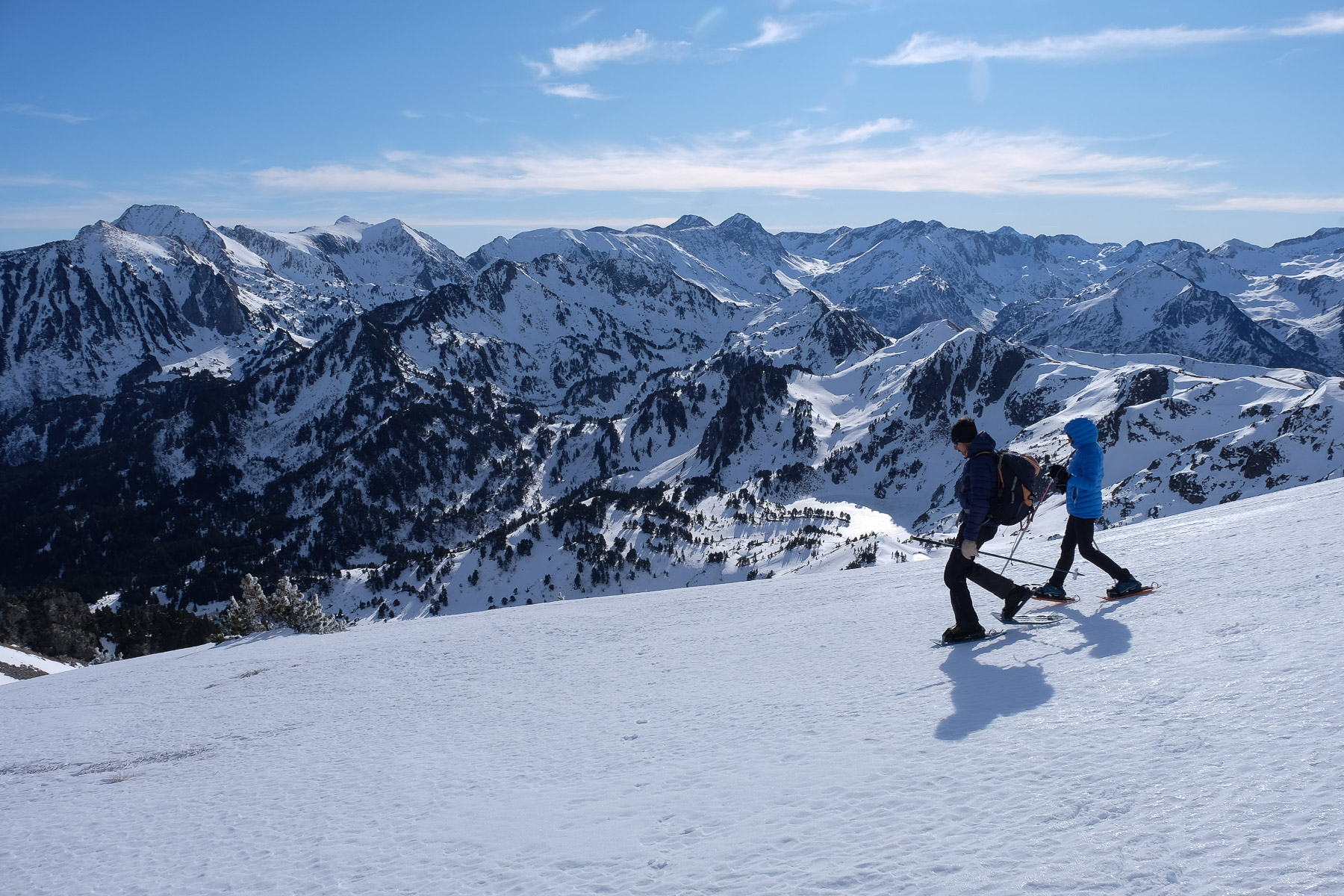
The mythical summit of the Ariège region, Pic de Tarbésou is conquered via an undulating ridge, the Mounégou ridge, which rises gently to over 2000m to a rounded summit facing the snow-covered chain. The view of the Pyrenees is exceptional. Depending on conditions, the loop can be extended to return via the Rabassole ponds, overlooked from the summit. A very accessible outing that can also be done on skis, conditions permitting.
❱❱ Technical summary
Type ✦ Hiking / Snowshoeing
Location ✦ Ascou, Col de Pailhères
Region ✦ Ariège
Country ✦ France
Length ✦ 6,5kms
Vertical rise ✦ 370m
Difficulty ✦ MD
Max altitude ✦ 2364m
Duration ✦ 2h to 3h
Interest ✦ ★★
❱❱ Access to the place
From Ax-les-Thermes, climb towards Ascou on the D25. Pass the village, the Etang de Goulours and continue up to the Col de Pailhères. Pass the ski resort and tackle the last hairpin bends to park just before the pass, in the parking lots opposite the buildings. If the road to the pass is closed, count the distance on foot from Ascou-Pailhères station.
❱❱ Map & topo
❱❱ Itinéraire
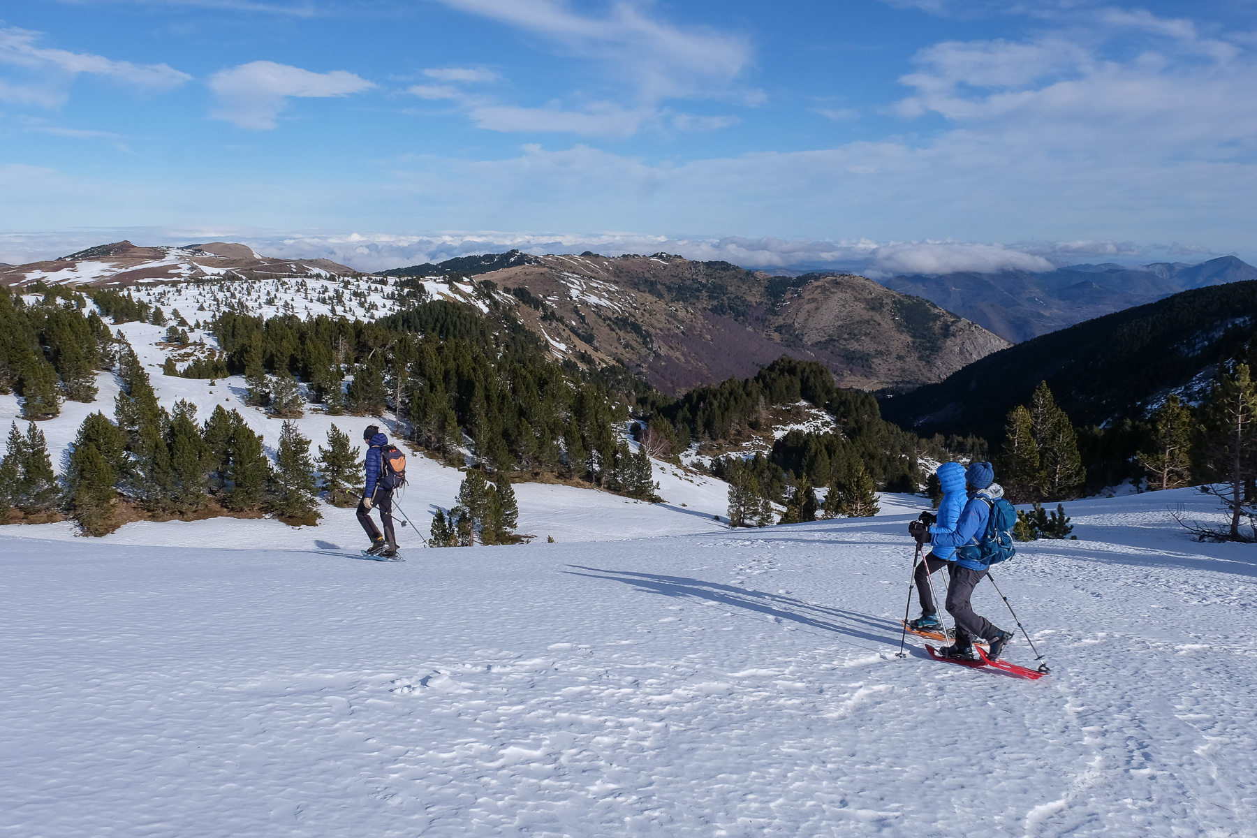
Climb up to the road and once at the highest level, head towards Tarbésou on a long plateau with a few fir trees. Aim for the eastern side of Pic de Mounégou, the 1st round peak that starts the ridge towards Tarbésou. Once at the foot of this peak, climb a little to find a sort of col. This is the starting point for the ridge, and also the end point of the loop.
With a very reasonable distance and altitude difference, the loop is accessible and can be completed in half a day. The route is fairly straightforward, and the ridge is wide and safe. In case of ice, crampons will be required for the final ascent to the summit and the steep and slightly exposed descent to the Pic de la Coumeille de l'Ours.
The route is identical in the opposite direction, across the large plateau to the parking lot.


Leave a Reply