


TOPO Skimo | CLIMBING7.COM
Publié le
 Partager sur WhatsApp
 Partager sur Twitter
Partager sur Instagram
Partager sur Twitter
Partager sur Instagram

 Partager sur Facebook
 Imprimer le topo
 Laisser un commentaire

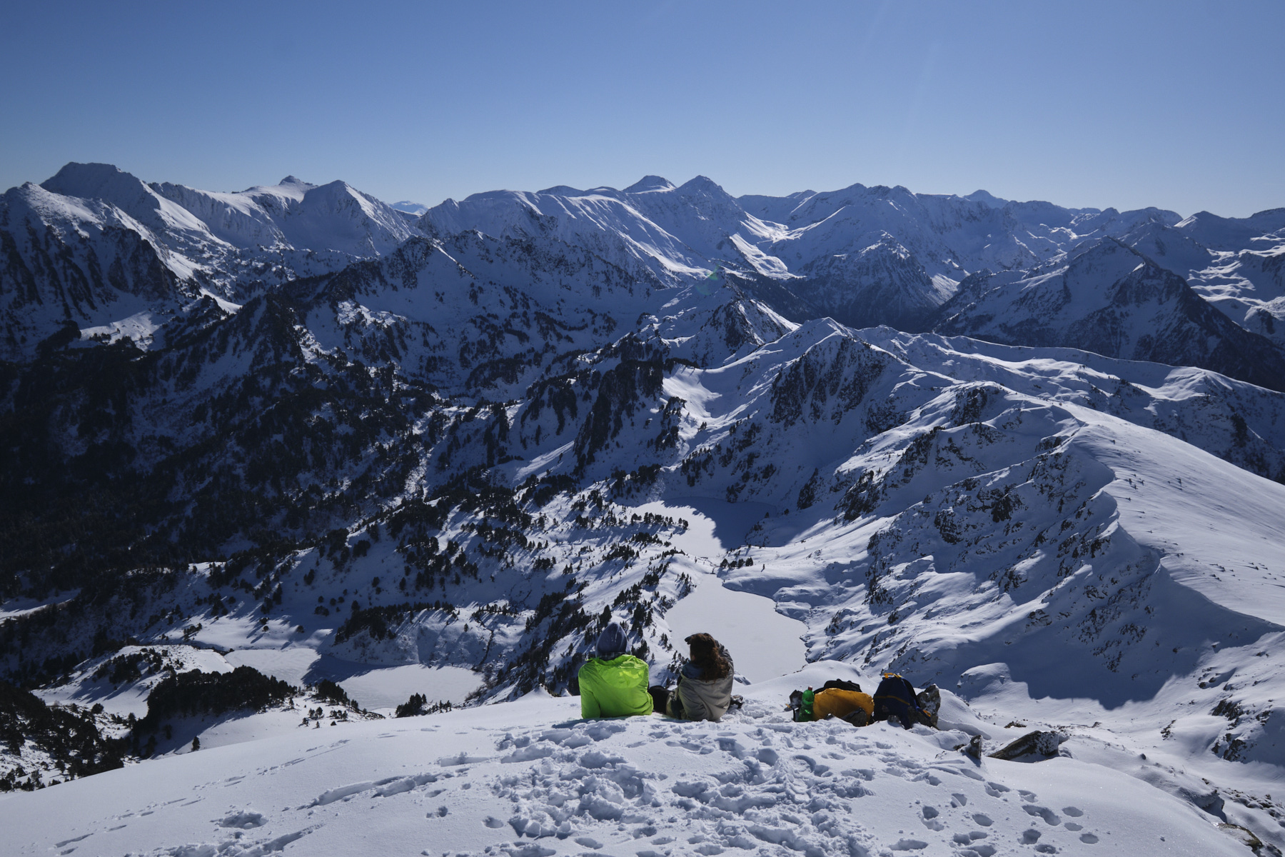
Condiciones excepcionales para disfrutar de las laderas del Pic de Tarbésou y de las vistas panorámicas de los Pirineos del Ariège. Partiendo de la estación de Ascou-Pailhères, en el Alto Ariège, el ascenso por las crestas septentrionales es suave y progresivo para alcanzar la cumbre que domina la Dent d'Orlu y los Étangs de Rabassoles. Hay varias opciones de descenso por las vertientes este y noreste, con buenas pendientes, para apuntar a la Coumeille de l'Ours y continuar un poco más abajo antes de, eventualmente, subir una segunda vez para aprovechar este magnífico terreno de juego. Este es uno de los grandes clásicos de la zona, y se encontrará con mucha gente, pero es fácil ver por qué: es una excursión accesible y el paisaje es impresionante.
❱❱ Reseñas técnicas
► Perfil del recorrido : Esquí de travesía. 650 m de desnivel en 4 km de ascensión (1100 m de desnivel si se trata de una segunda ascensión). Altitud máxima de 2364 m en la cima del Pic de Tarbésou.
► Situación geográfica : Salida por encima de la estación de Ascou-Pailhères, por encima de Ax-les-Thermes en Haute Ariège (09).
► Dificultades técnicas : Ascenso Fácil, excepto el tramo final ligeramente más empinado que puede requerir cuchillos o crampones dependiendo de las condiciones. Descenso con esquís 1,1 E1.
► Orientación : Subimos y esquiamos más hacia el este. Es fácil seguir las crestas.
► Terreno y medio ambiente : El puerto y las crestas que conducen a Tarbésou pueden ser muy ventosos. El tramo final hasta la cima suele estar helado o ser muy duro.
► Material y equipamiento : Cuchillos en la bolsa si se congela al final.
► Aviso general : Senderismo y esquí accesibles en un entorno espléndido. Carrera ajetreada, pero muchas opciones para esquiar.
❱❱ Acceso al sitio
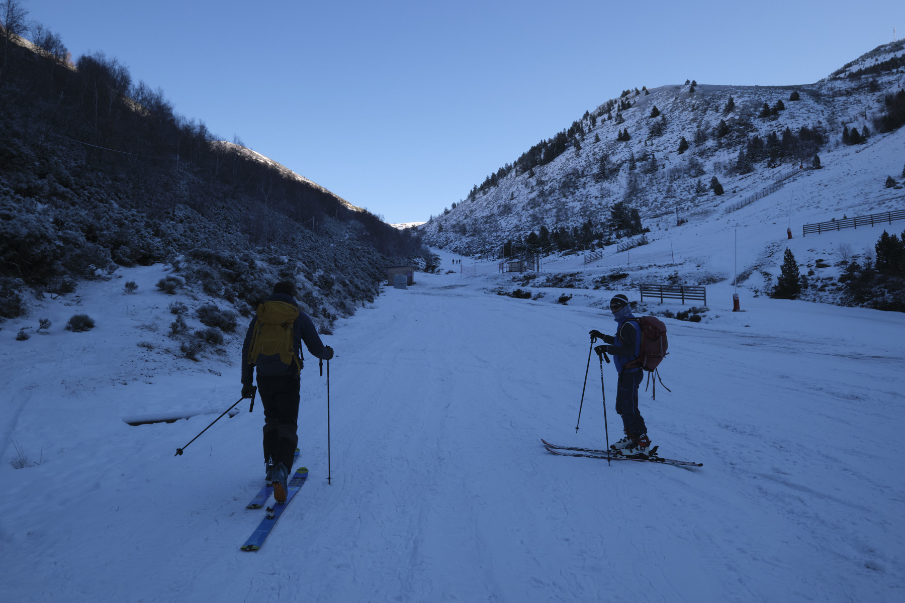
Desde la N20 de Foix a Andorra, en Ax-les-Thermes, siga las indicaciones hacia Ascou-Pailhères. Atraviese el pueblo de Ascou, luego Goulours, y suba poco a poco hasta la estación de esquí. Pásela y en la cima encontrará el aparcamiento de salida, justo antes de la barrera que cierra la carretera en invierno.
❱❱ Mapa & topo
Las rutas de esquí alpino y la ruta de regreso son indicativas.
Voir en plein écran❱❱ Itinéraire
Desde el aparcamiento, tome la pista azul para subir una suave pendiente y, a mitad de camino, serpentee a la izquierda de un telesilla para llegar más rápidamente a la meseta superior (de lo contrario, siga la pista azul y regrese hacia el sur).
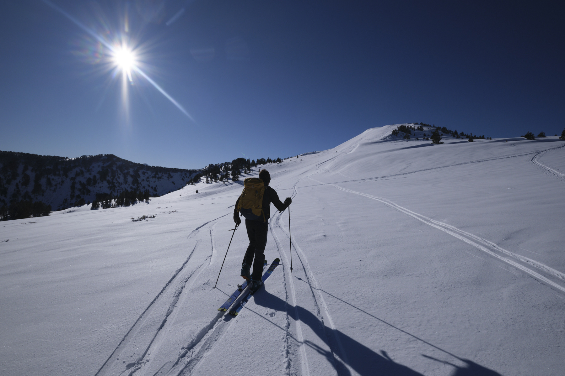
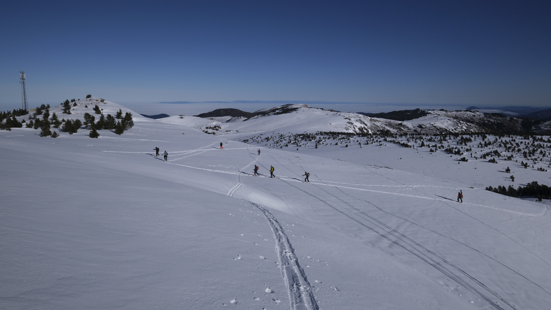
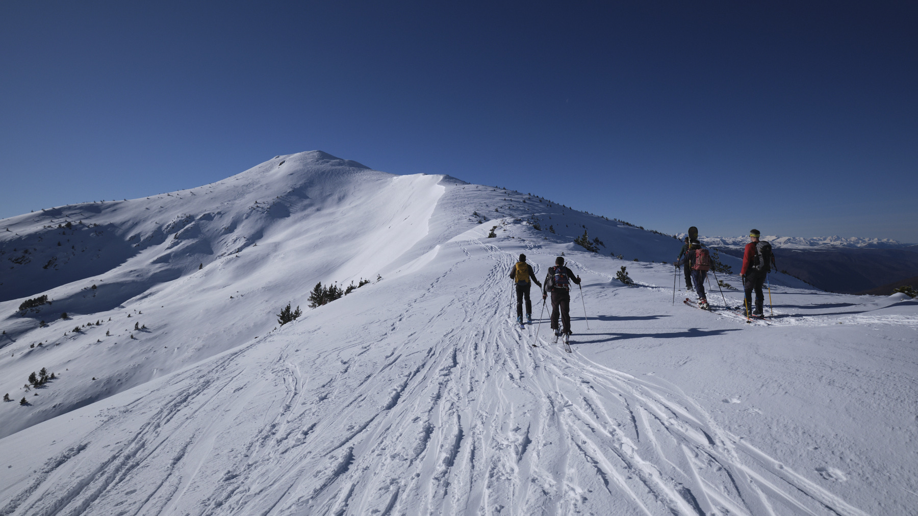
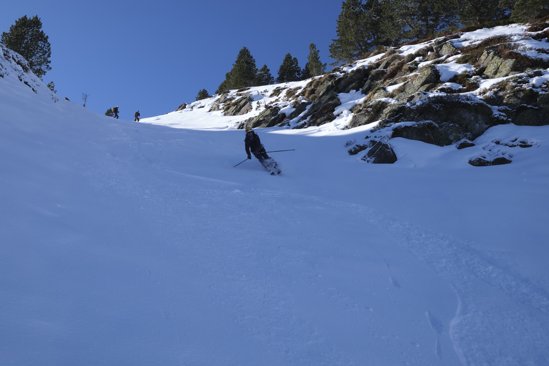
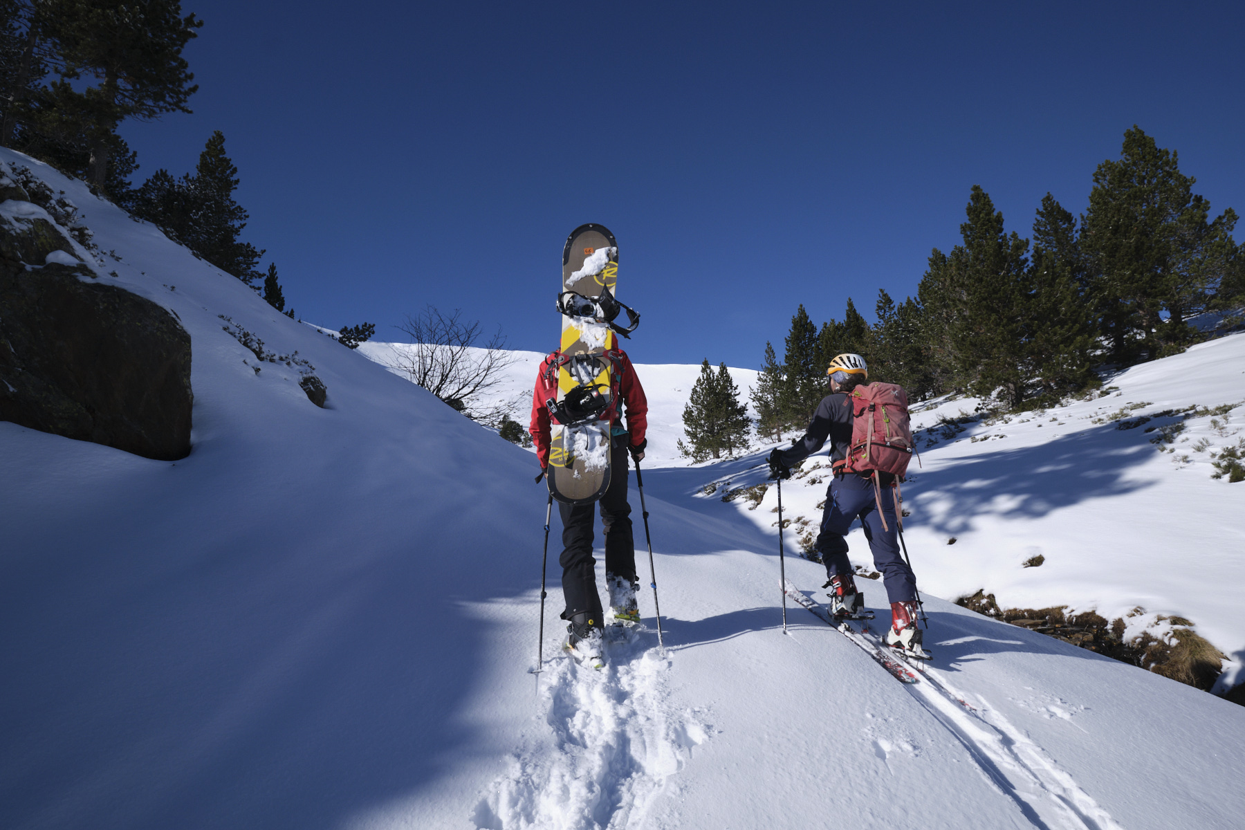
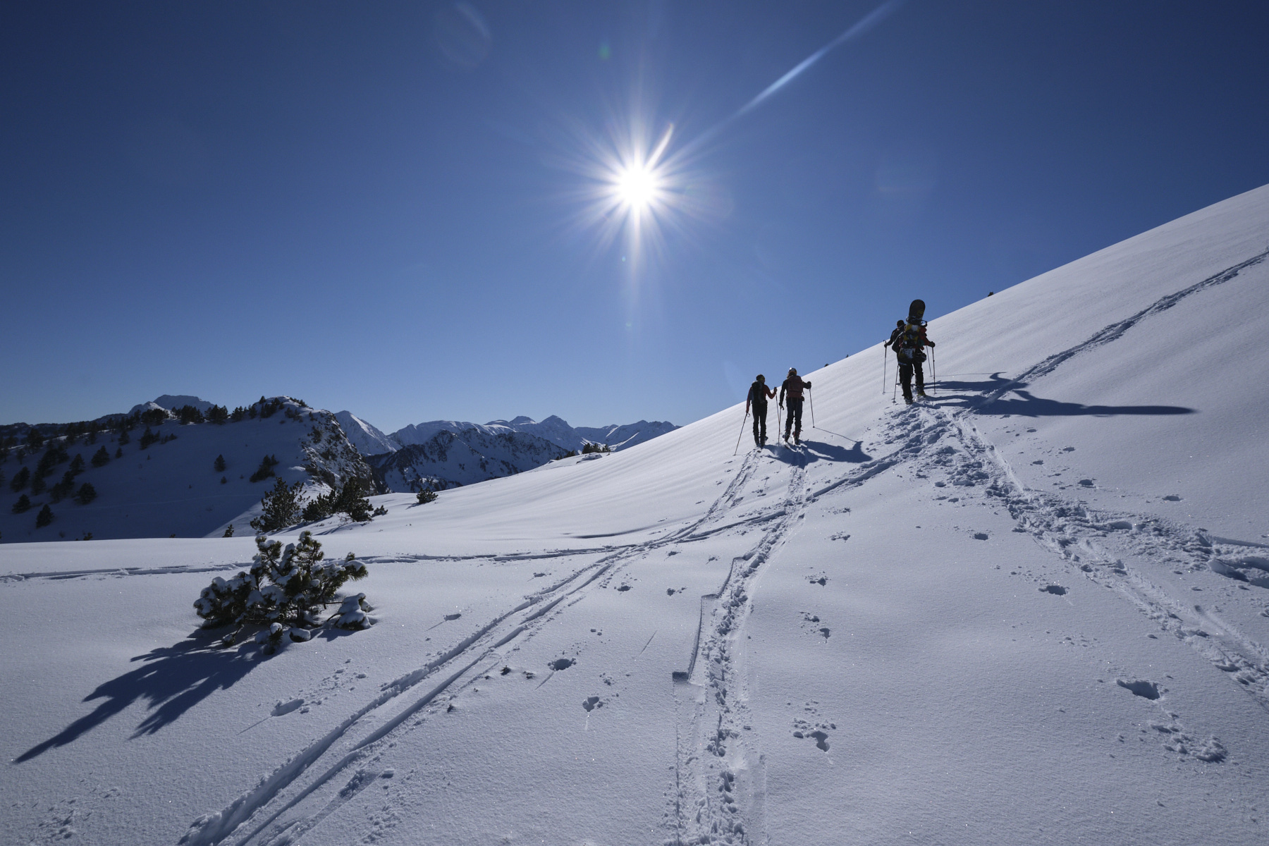
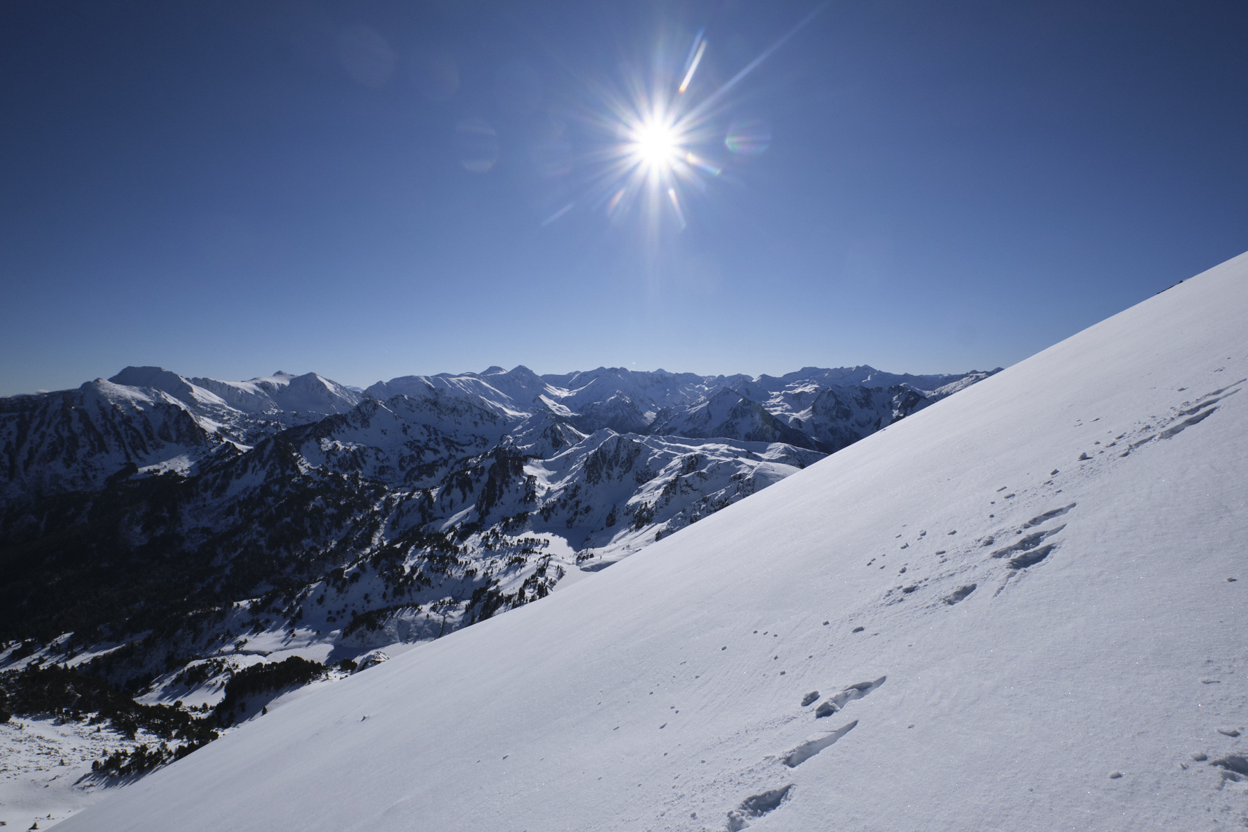
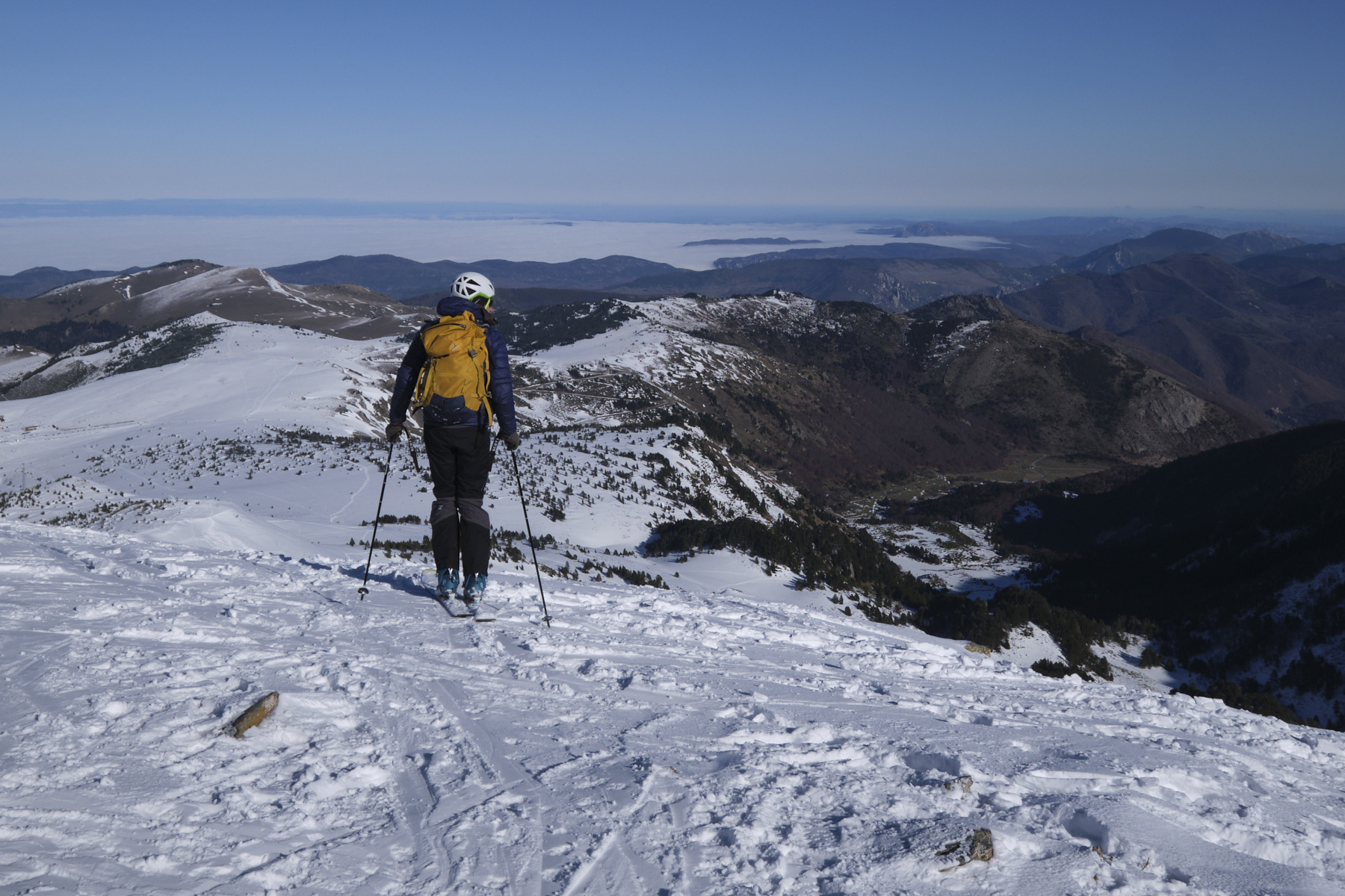
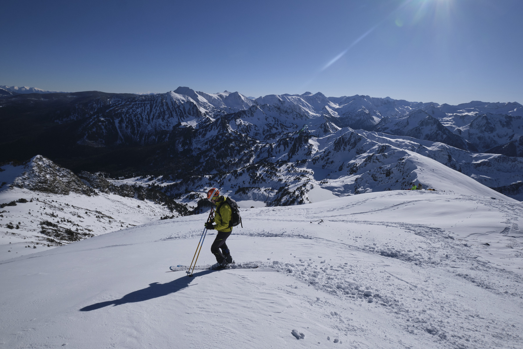
La ruta es evidente. Se asciende por la meseta hasta el pie del Pic de Mounégou, luego se continúa por un hombro hasta la cresta principal con Tarbésou ya a la vista. La cresta asciende gradualmente en niveles sucesivos, en general suavemente y sin dificultad. Una última zona llana conduce al tramo final hacia la cumbre. La vertiente orientada al oeste suele estar dura o helada por la mañana, por lo que se prefiere una ruta que tome la vertiente orientada al este, más expuesta al sol de la mañana. El tramo final es un poco más empinado y se alcanza la cumbre con bastante rapidez. Excepcionales vistas panorámicas.
Las mejores opciones para esquiar se encuentran en las vertientes este o noreste. El inicio de la cima es más empinado (35°), pero el resto es más suave (25/30° como máximo). Puede dirigirse al Col de la Coumeille de l'Ours o un poco más a la izquierda para encontrar algunas pendientes agradables y continuar aún más abajo. Desde el fondo, corta hacia el norte y vuelve a ponerte las pieles durante 50 a 100 m de ascenso para volver a la meseta y deslizarte hacia abajo hasta llegar a la cima de las pistas de la estación. En función de las condiciones de la nieve, se puede tomar la pista azul o el atajo para volver a la pista azul más abajo, hasta el aparcamiento.


Deja una respuesta