


TOPO Snowshoeing | CLIMBING7.COM
Publié le
 Partager sur WhatsApp
 Partager sur Twitter
Partager sur Instagram
Partager sur Twitter
Partager sur Instagram

 Partager sur Facebook
 Imprimer le topo
 Laisser un commentaire

Nice winter hike in the Haut-Ariège, on the wide dome that leads to the Pic de Bourbourou (2021m), above the Ax-les-Thermes valley. The view of the Ariège Pyrenees is magnificent. The ascent through the forest to get out of the valley and onto the upper ridges is quite strenuous, but the rest of the loop poses no real difficulty.
❱❱ Technical summary
Type ✦ Snowshoe hiking
Location ✦ Savignac-les-Ormeaux
Region ✦ Ariège
Country ✦ France
Length ✦ 15km
Vertical drop ✦ 1350m
Difficulty ✦ MD
Max altitude ✦ 2021m
Duration ✦ 6h to 7h
Interest ✦ ★
❱❱ Access to the place
In the Ax-le-Thermes valley, above Tarascon-sur-Ariège, just before Savignac-les-Ormeaux, turn off into the Perles et Castelet shopping area, located on the south side of the N20, at the foot of the mountain. Go through the shopping area and up a track to a large area of wasteland where you can park.
❱❱ Map & topo
❱❱ Itinéraire
From the parking lot, climb up the forest track and you'll soon find the trailhead with the red dots, in a right-hand bend.
A looped route on red-dotted trails up to the Gireys refuge, then down via the GRP de la montagne d'Ax. The section leading up to the ridge from the refuge is neither marked nor traced, and is done on sight but without too much difficulty. Snowshoeing the ridges is easy and safe.
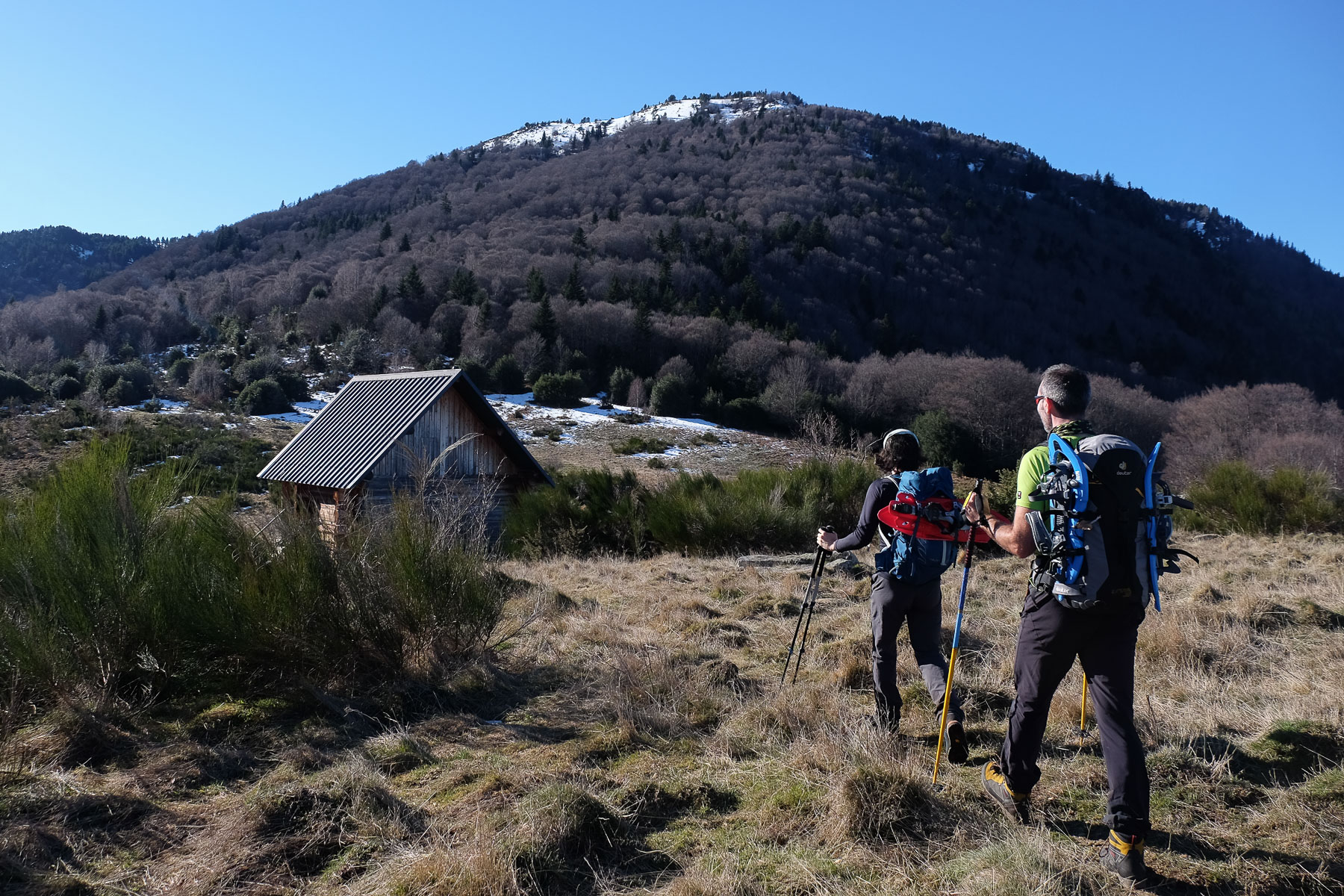
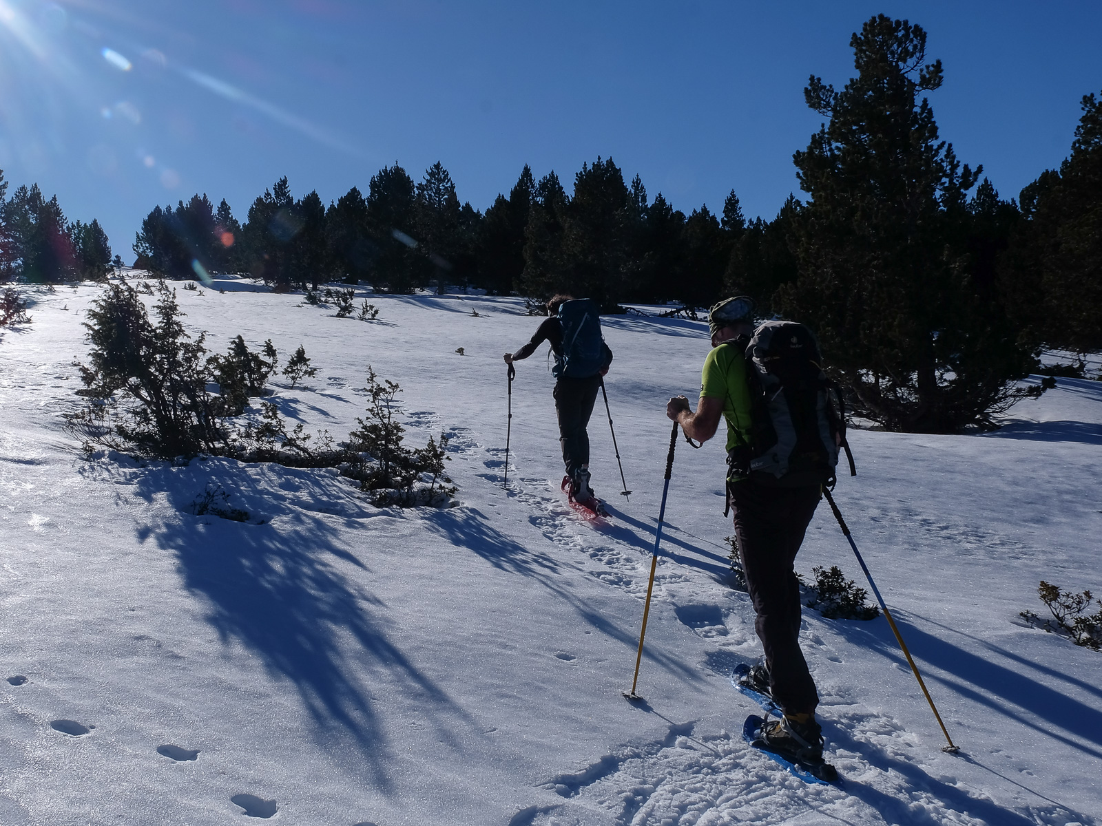
Steep, sustained ascent through the forest to the jasse de Gireys, 750m higher up. Be careful to follow the red dots and not the orange markers, which turn right shortly after the start.
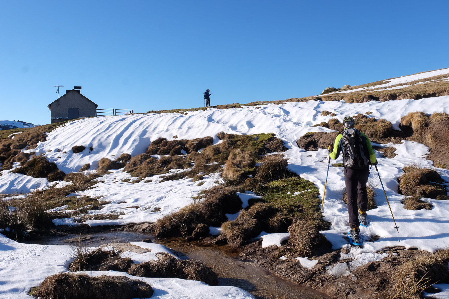
After 1 hour of sustained effort, you reach a clearing with the first views of the summits to the east. Continue south to discover the Gireys refuge.
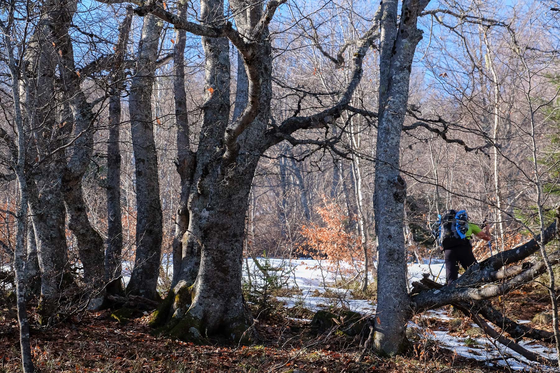
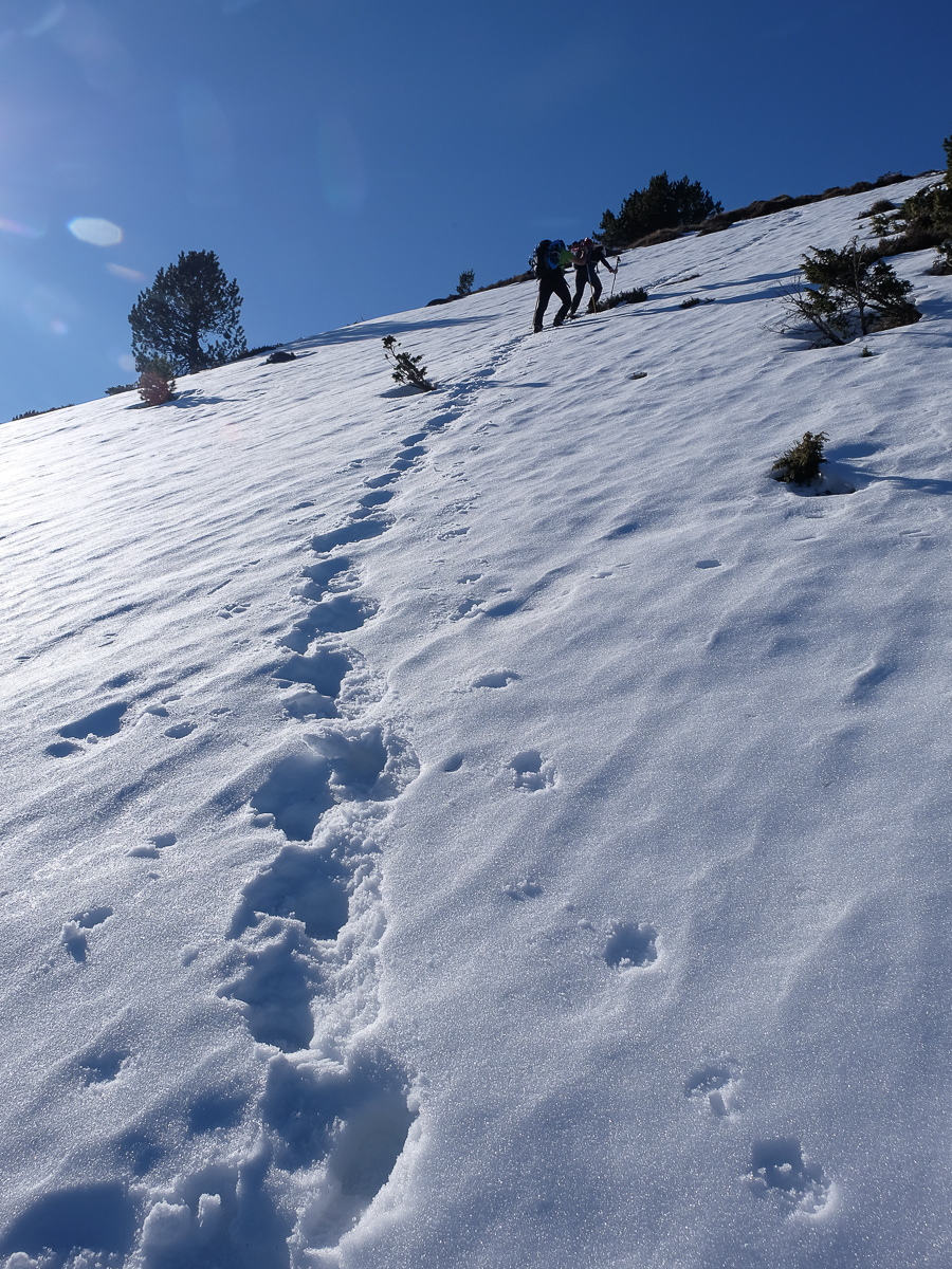
From the refuge, head south across the plain to the wooded slope leading to the1st summit, which is clearly visible. There is no path through the less dense forest, but you can find a path between the trees, staying on the ridge. The final stretch, however, is steep and leads to the first summit: Falgarouse (1943m). This is the start of the ridges that run due south.
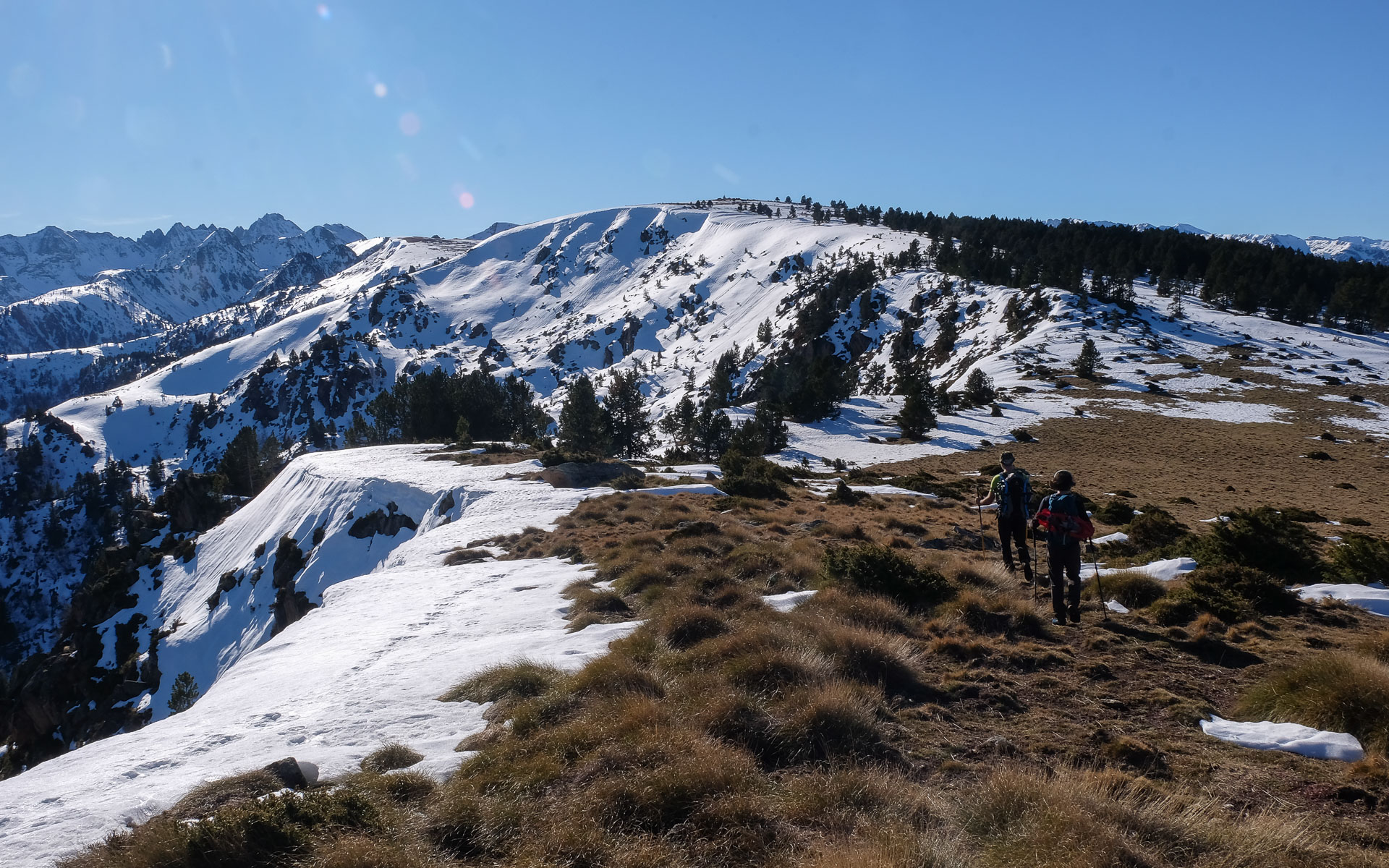
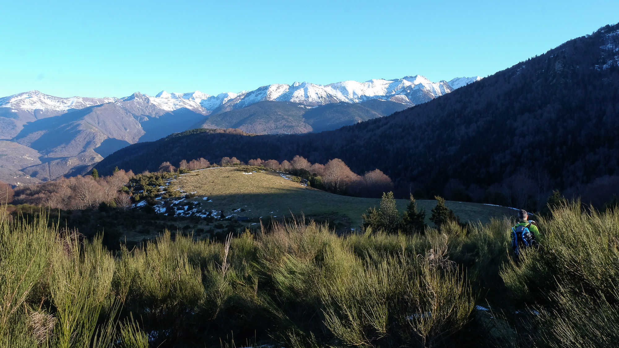
From here, continue south, descend again a little and gradually climb up to the dome of the Pic du Bourbourou. There's no real trail here either, but it's obvious. The summit is wide and flat. There's a 360° panorama of the Pyrenees.
From the peak, head west down a wide, sloping plain to join the GRP marked in red and yellow. This is the path you'll follow all the way down, passing 4 high-altitude huts in succession. The path is well marked, but snow conditions mean you need to be careful not to lose your way. After the 4th hut, in the middle of the forest, the path winds steeply down to the foot of the N20.
At the bottom, level with the N20 and before passing through the tunnel, walk along the small road parallel to the main road to return fairly quickly to the starting parking lot.


Leave a Reply