


TOPO Hiking | CLIMBING7.COM
Publié le
 Partager sur WhatsApp
 Partager sur Twitter
Partager sur Instagram
Partager sur Twitter
Partager sur Instagram

 Partager sur Facebook
 Imprimer le topo
 Laisser un commentaire
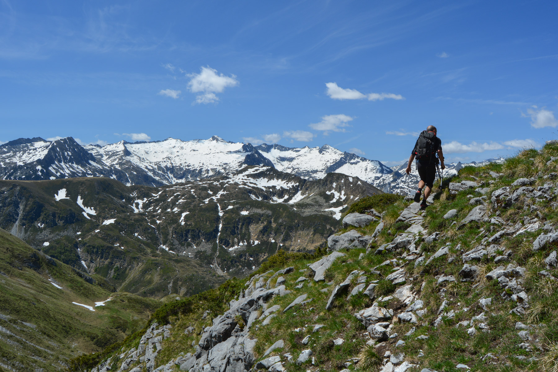
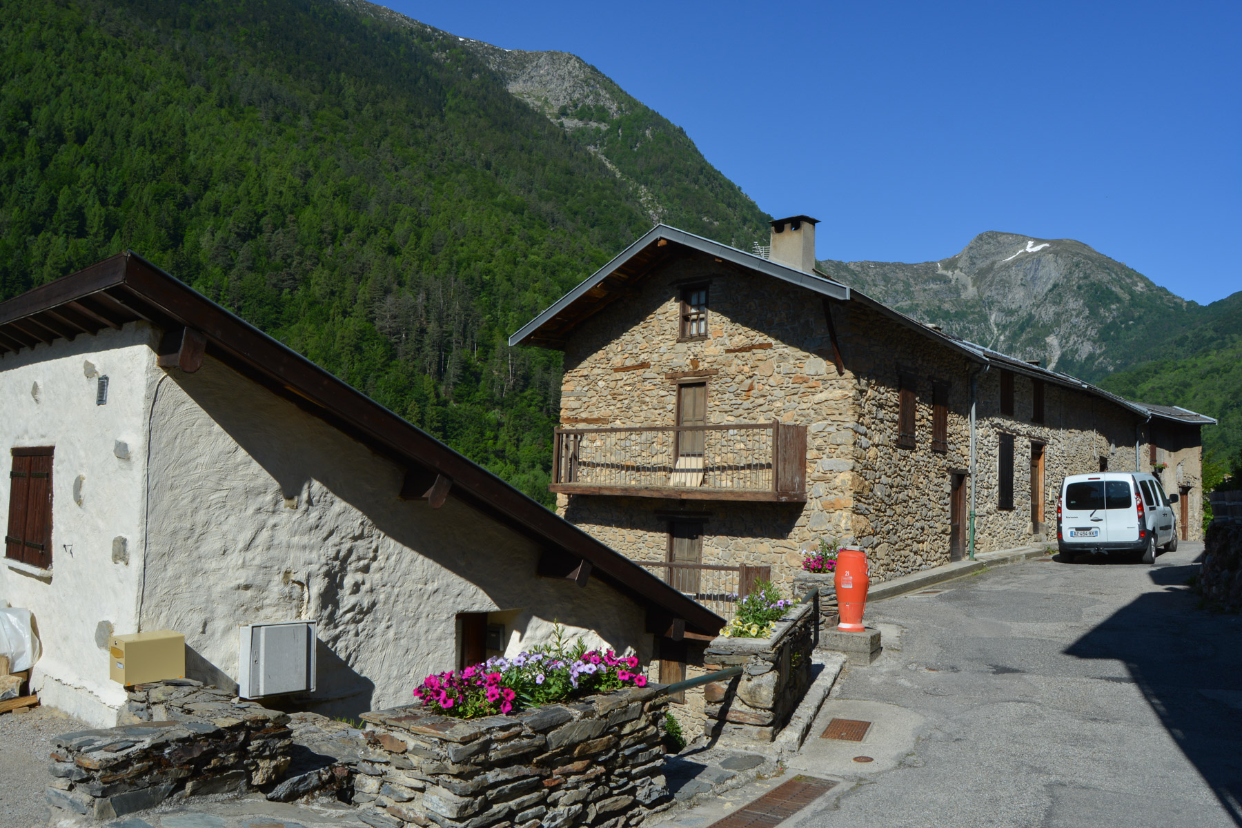
Starting from the pretty Ariège village of Saleix, the ascent of the Pic de Girantès or Mont Ceint (2088m) via the Col de Bizourtouse and the ridges offers spectacular views of the Pic Rouge de Bassiès and, in the background, the snow-covered Montcalm and Pic d'Estat. The loop then takes you through the Port de Saleix to the Bassiès valley and its string of deep-blue ponds. Quite a distance, but with new panoramas and a reasonable altitude difference. A beautiful itinerary in magnificent surroundings.
❱❱ Technical summary
Type ✦ Alpine hiking
Location ✦ Auzat
Region ✦ Hautes-Pyrénées
Country ✦ France
Length ✦ 17km
Vertical drop ✦ 1290m
Difficulty ✦ MD
Max altitude ✦ 2088m
Duration ✦ 5h to 6h
Interest ✦ ★★★
❱❱ Access to the place
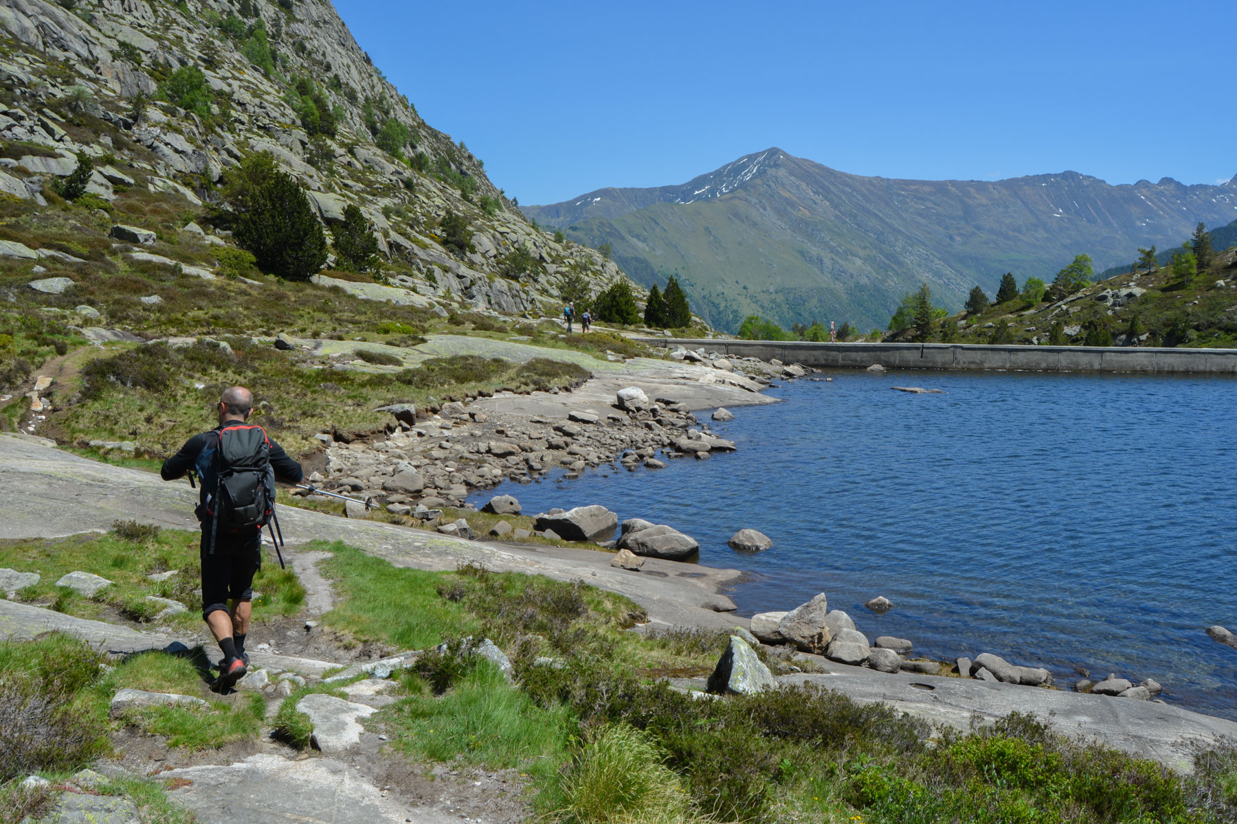
On the N20 at Tarascon sur Ariège, turn off onto the D8 towards Vicdessos. Pass through the village and, just before entering Auzat, turn right towards Saleix. Cross the hamlet and at the end, where the track begins, there's a small parking area. For the proposed loop, leave a second vehicle at the Bassiès power station, continuing towards the valley floor on the D8 and turning right up an old narrow road to the top.
❱❱ Map & topo
❱❱ Itinéraire
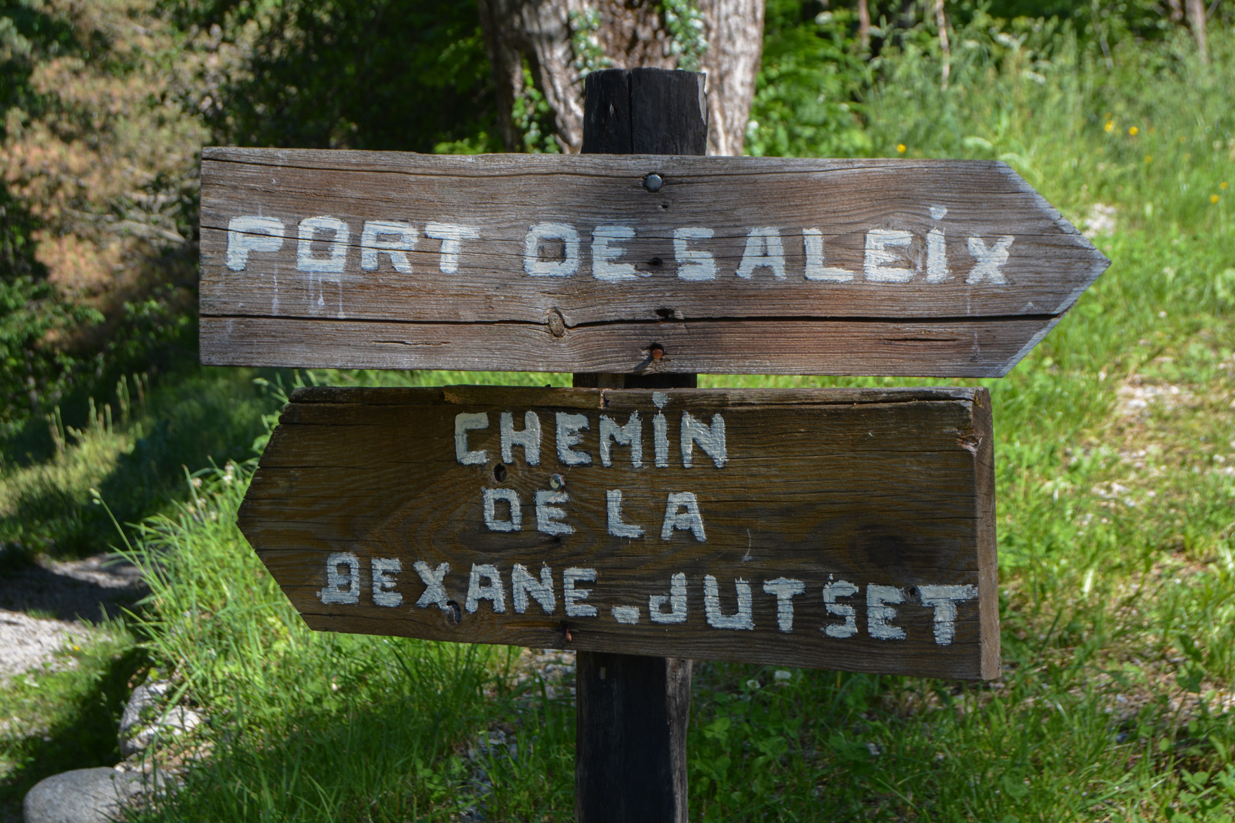
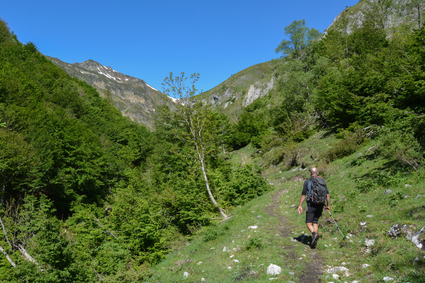
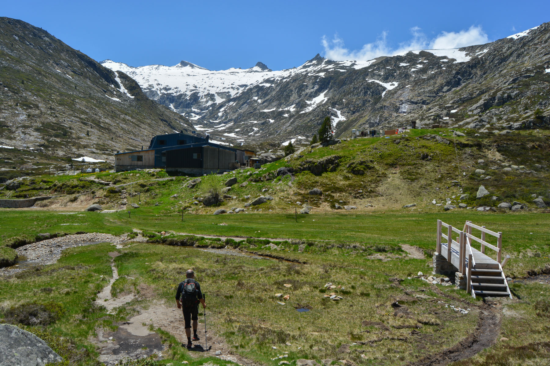
From the parking lot, continue on the track under the woods until you come to a hairpin bend at the start of the path to Port de Saleix.
The near-loop is about 17kms long and has a vertical drop of almost 1300m. The route is fairly straightforward, with only the section to the Col de Birzoutouse and the ridges to the Pic less marked. It's not technically difficult, but there are a few aerial passages to reach the summit and a few passages over névés, depending on the season.
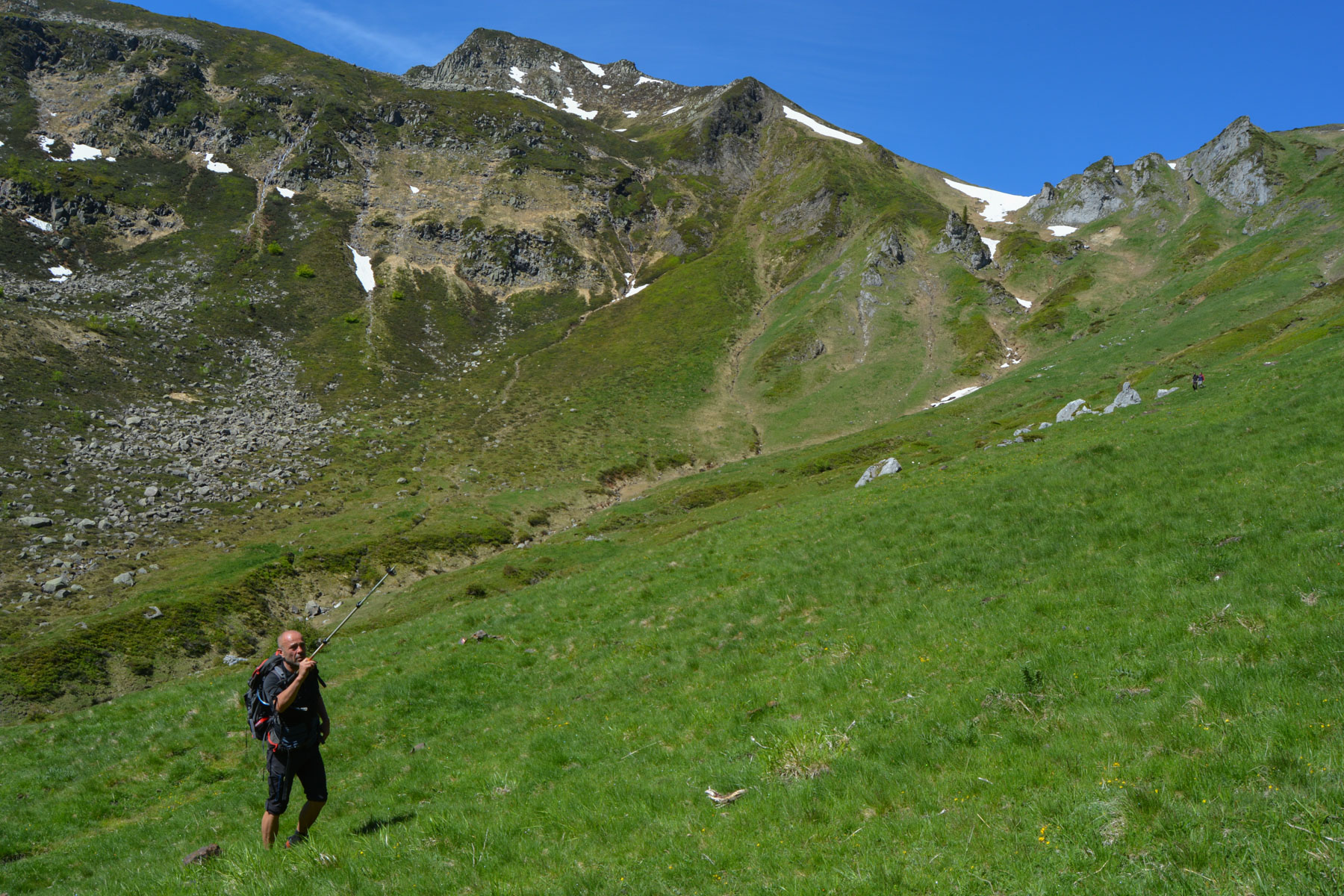
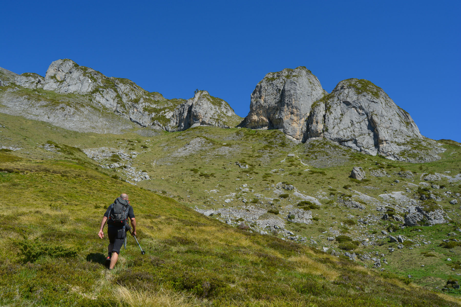
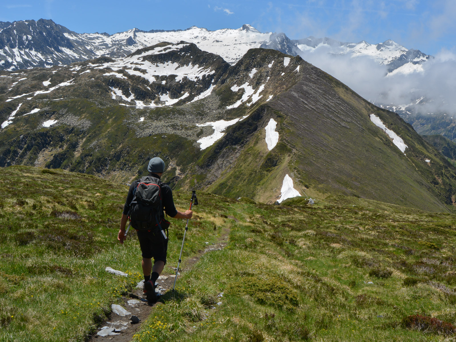
Follow this forest trail, which climbs steadily westwards until it comes out at the Col de la Crouzette (hut). Continue over more open terrain to reach the Orris Carol and enter the large cirque below the Pic de Girantès, which leads down to the Port de Saleix. Here, without going down to the hut, climb up the right-hand side to find a faint path, and once under the 2 characteristic rocky teeth seen above, fork onto an even less visible path to climb steeply upwards and reach a small basin. Continue on the wide grassy track and, after a few hairpin bends, fork right again for a fairly well-marked path which passes under the 2 teeth to emerge higher up.
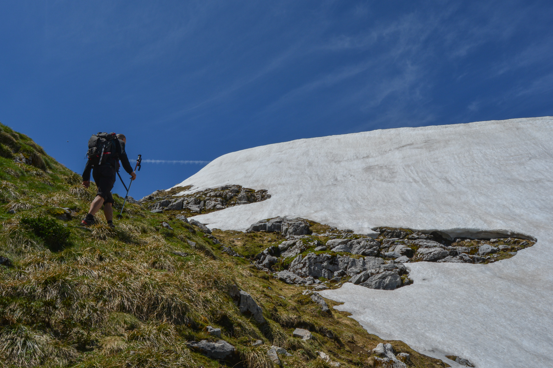
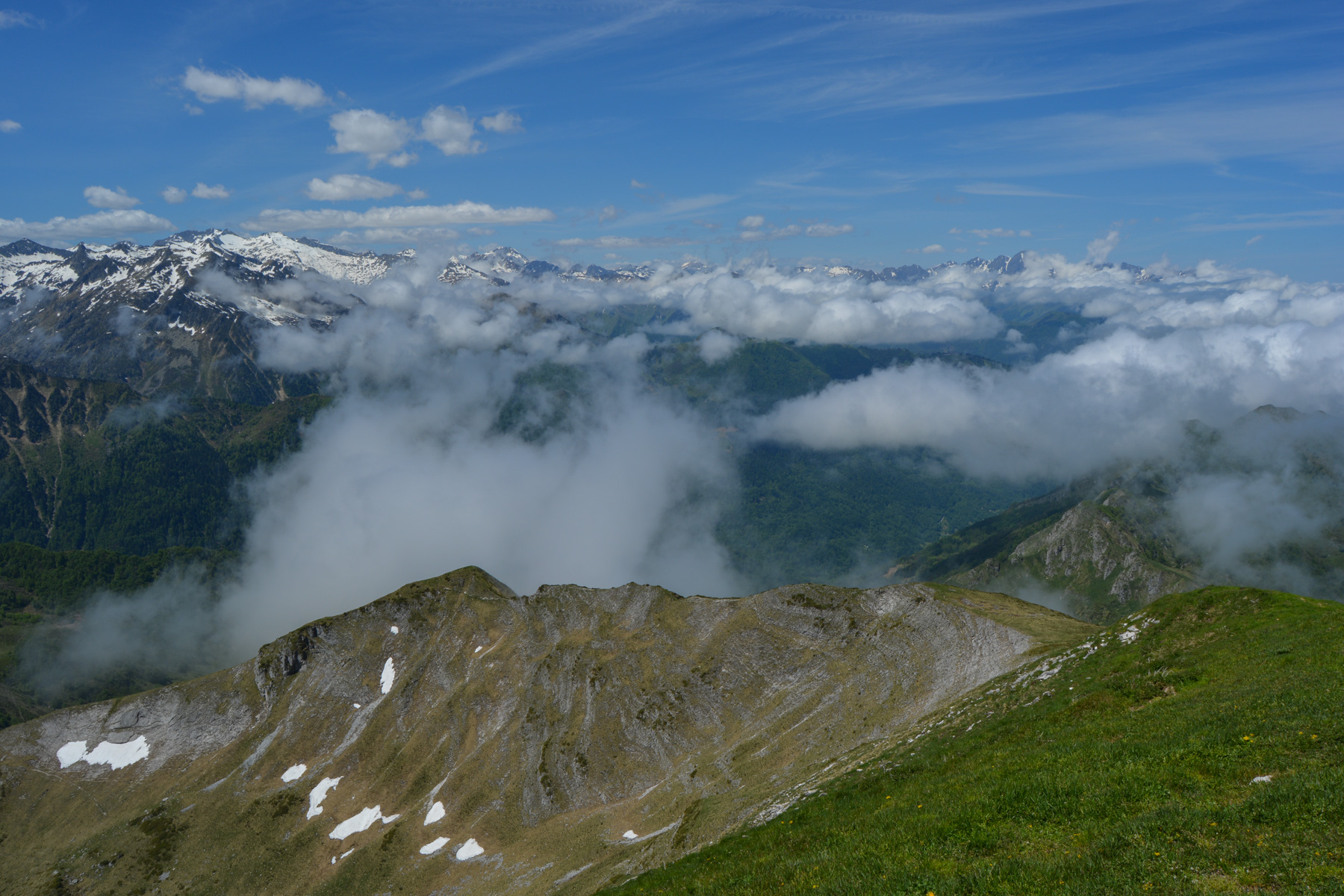
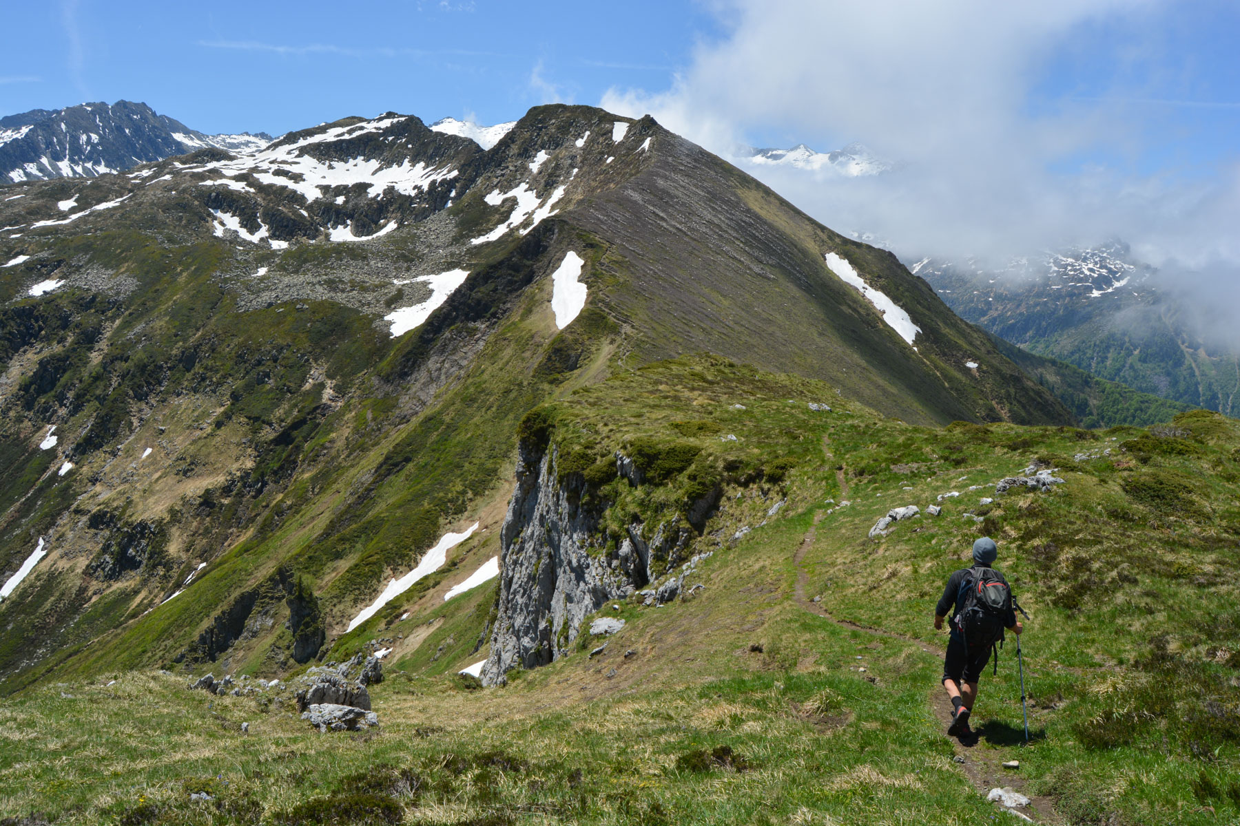
From here, continue up the western flank of Birzoutouse, where you'll find a path that crosses over to reach the Col de Birzoutouse at the end. From here, climb the stony path that follows the ridges on their southern side, which is not easy to follow as it is seldom used (stay high enough to pass over the bars). At the end of this airy path, you're on the pass just below the summit of Pic de Girantès, on the east side. All that's left is to climb straight up the slope (not the path that crosses to the south) to finish steeply, avoiding any névés, to the summit at 2088m. Splendid panoramic view!
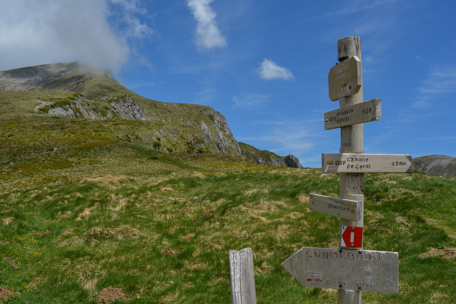
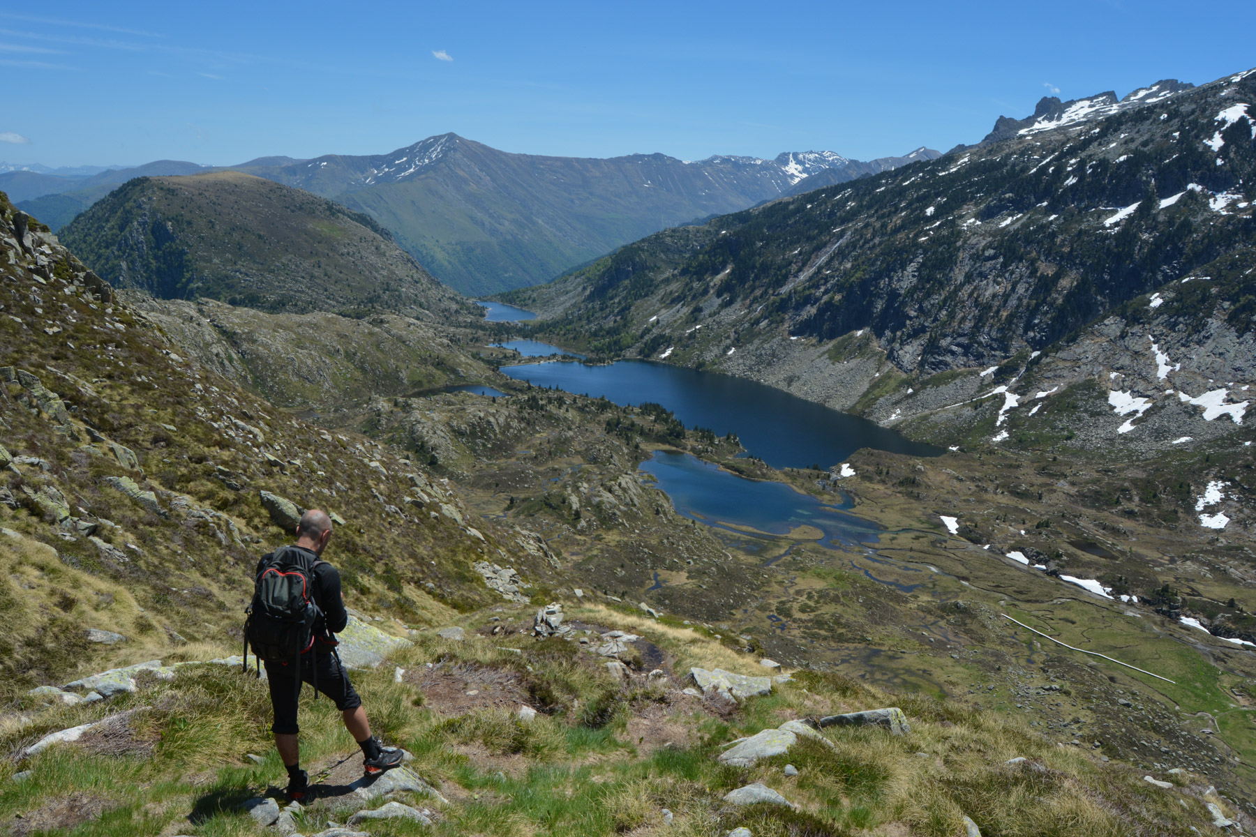
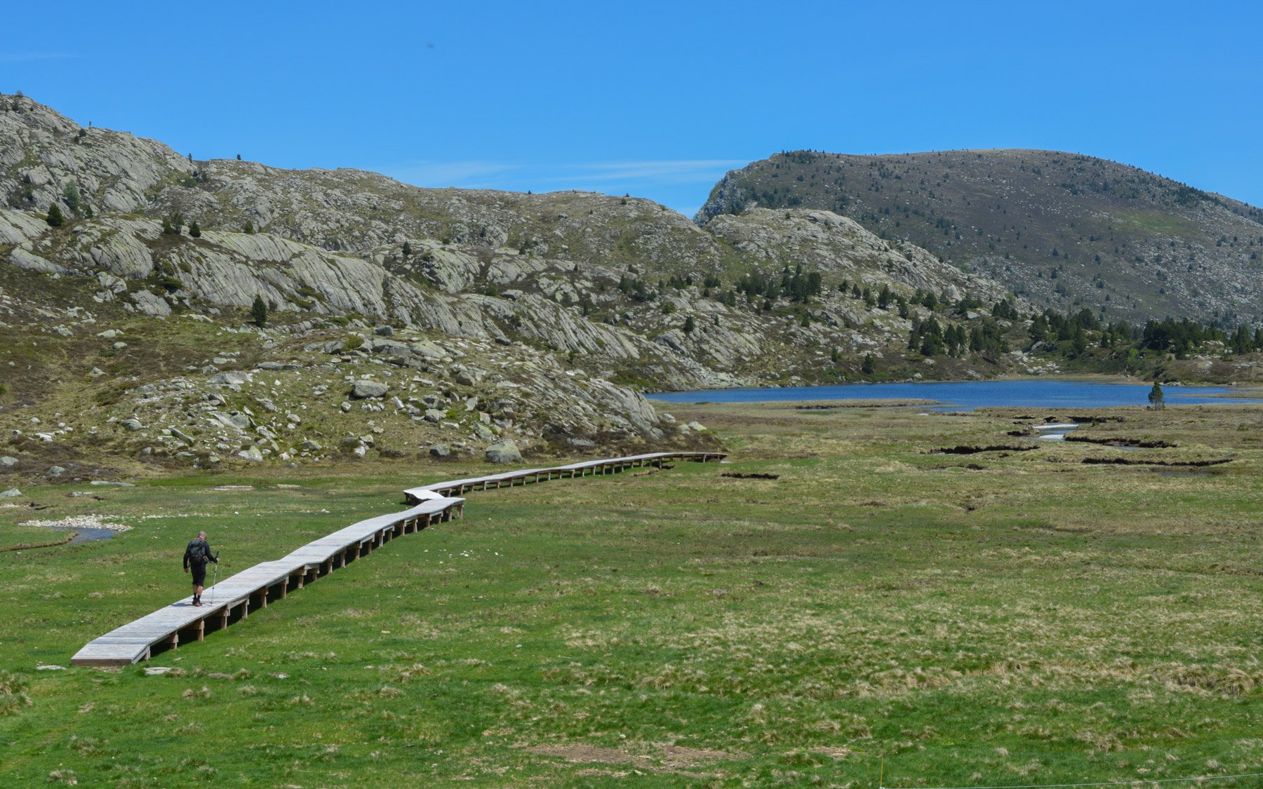
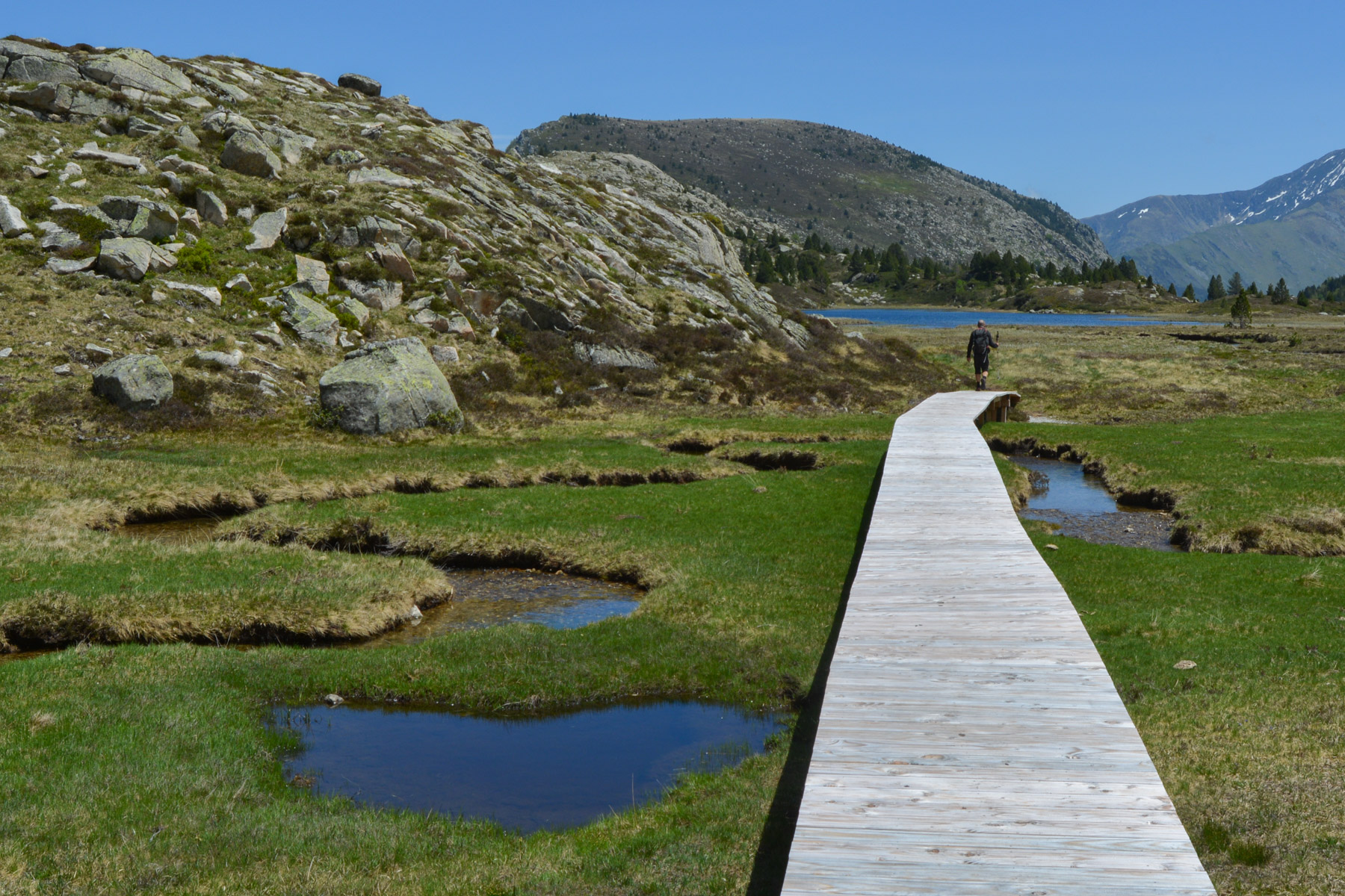
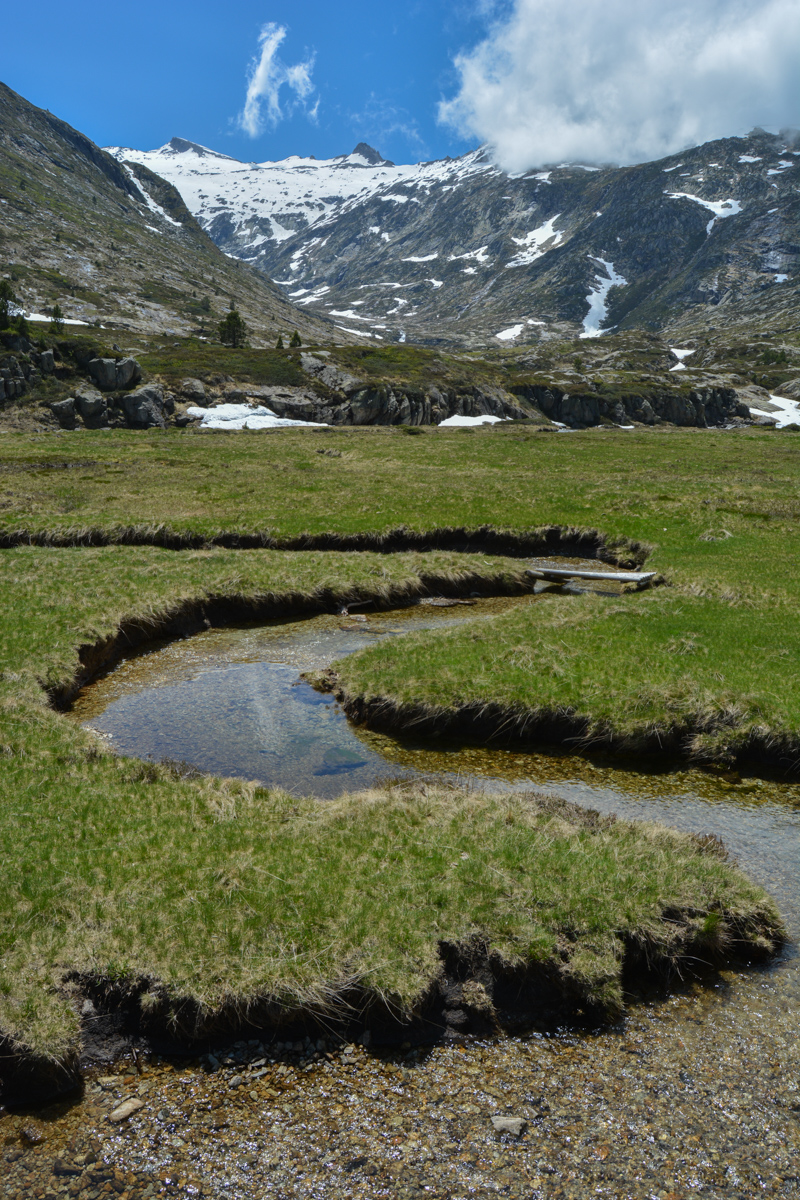
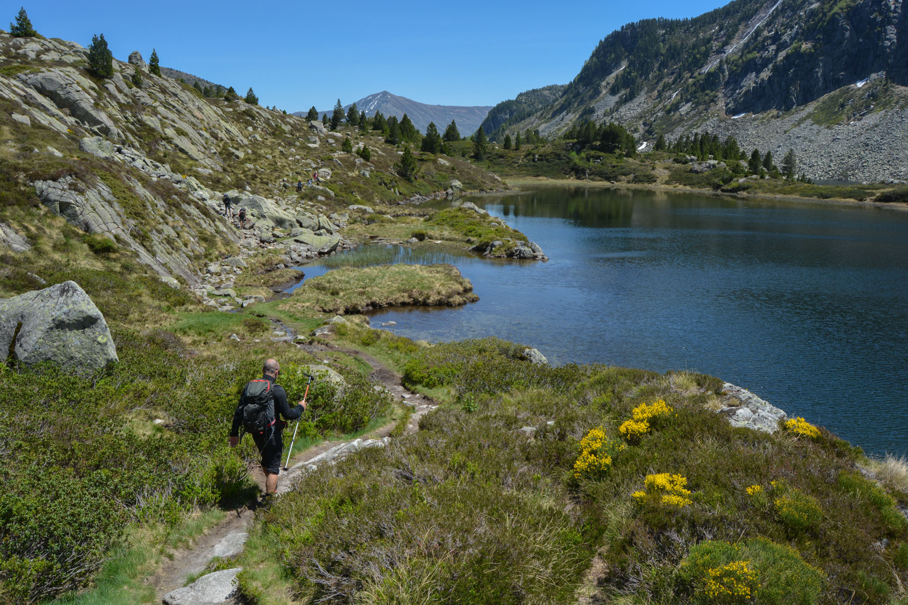
From the summit, descend on the ridge path due south, which reaches the Port de Saleix at 1794m. Continue straight ahead on the GR10, which you've just joined, for a short, steep section, and then cross a ridge that drops you onto the plateau where you'll find the Etang d'Alate, which you'll have to skirt before continuing on the GR to the Port de Bassiès, which gives you access to the valley and a spectacular aerial view of the cirque, the refuge and the string of Etangs de Bassiès. From here, a wide, winding descent leads down to the Bassiès refuge.
After a possible stop at the refuge, pick up the GR10 again via a long wooden footbridge that spans the meandering Pla de la Font pond, and follow it along the left bank to pass the Etang Majeur, the Etang Long and then the Etang d'Escalès. Just below the latter, the GR crosses the Bassiès stream on a superb stone bridge. End of part 2.
From the stone bridge, which you don't have to cross, continue along the left bank on a path that is initially unclear, but then becomes wide and well-developed above the gorge. A long descent with short, steep switchbacks leads to the Bassiès power station at the very bottom. If you don't have a second vehicle, you can hitchhike or walk to the D8 for more traffic.


Leave a Reply