


TOPO Ski Touring | CLIMBING7.COM
Publié le
 Partager sur WhatsApp
 Partager sur Twitter
Partager sur Instagram
Partager sur Twitter
Partager sur Instagram

 Partager sur Facebook
 Imprimer le topo
 Laisser un commentaire
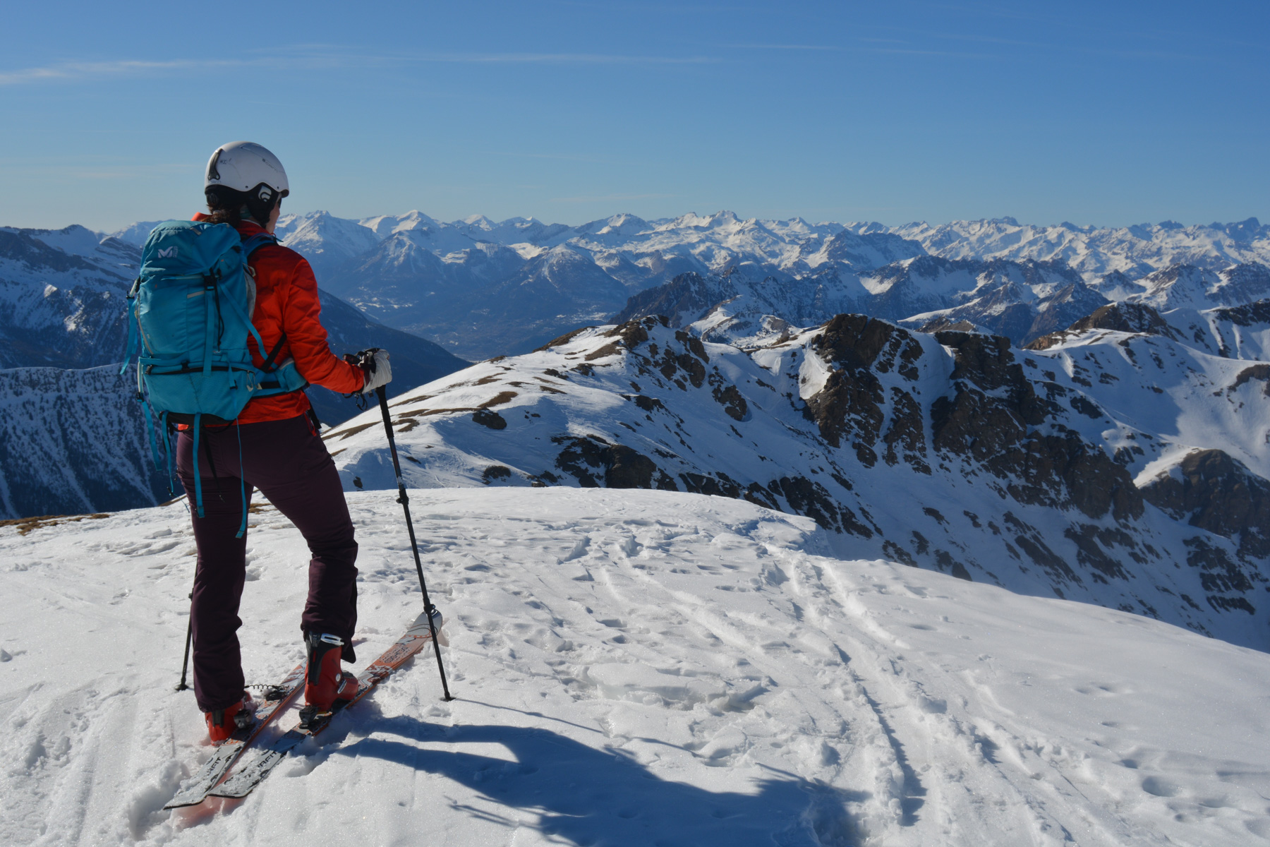
Pointe des Marcelettes is one of the Queyras classics. Another beautiful run to the south of Saint-Véran, obviously less frequented, with the added bonus of the cascade du Chatelard to ski on the way back. The summit at almost 3000m offers a superb panorama of the southern Queyras and the nearby Écrins. Despite the spring-like weather, the north-west-facing slopes provided good snow all the way to the bottom.
❱❱ Technical summary
Type ✦ Ski touring
Location ✦ Saint-Véran
Region ✦ Queyras, Southern Alps
Country ✦ France
Direction ✦ North-West
Length ✦ 6.5kms
Vertical drop ✦ 1130m
Max altitude ✦ 2900m
Difficulty ✦ F-3.2-E2
Duration ✦ 5h to 6h
Interest ✦ ★★
❱❱ Access to the place
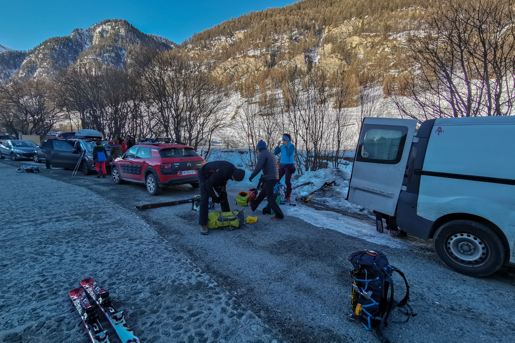
Before reaching Saint-Véran, stop at Chalp and park at the Nordic ski hut. Cross the Aigue Blanche to join the cross-country ski trail.
❱❱ Map & topo
❱❱ Itinéraire
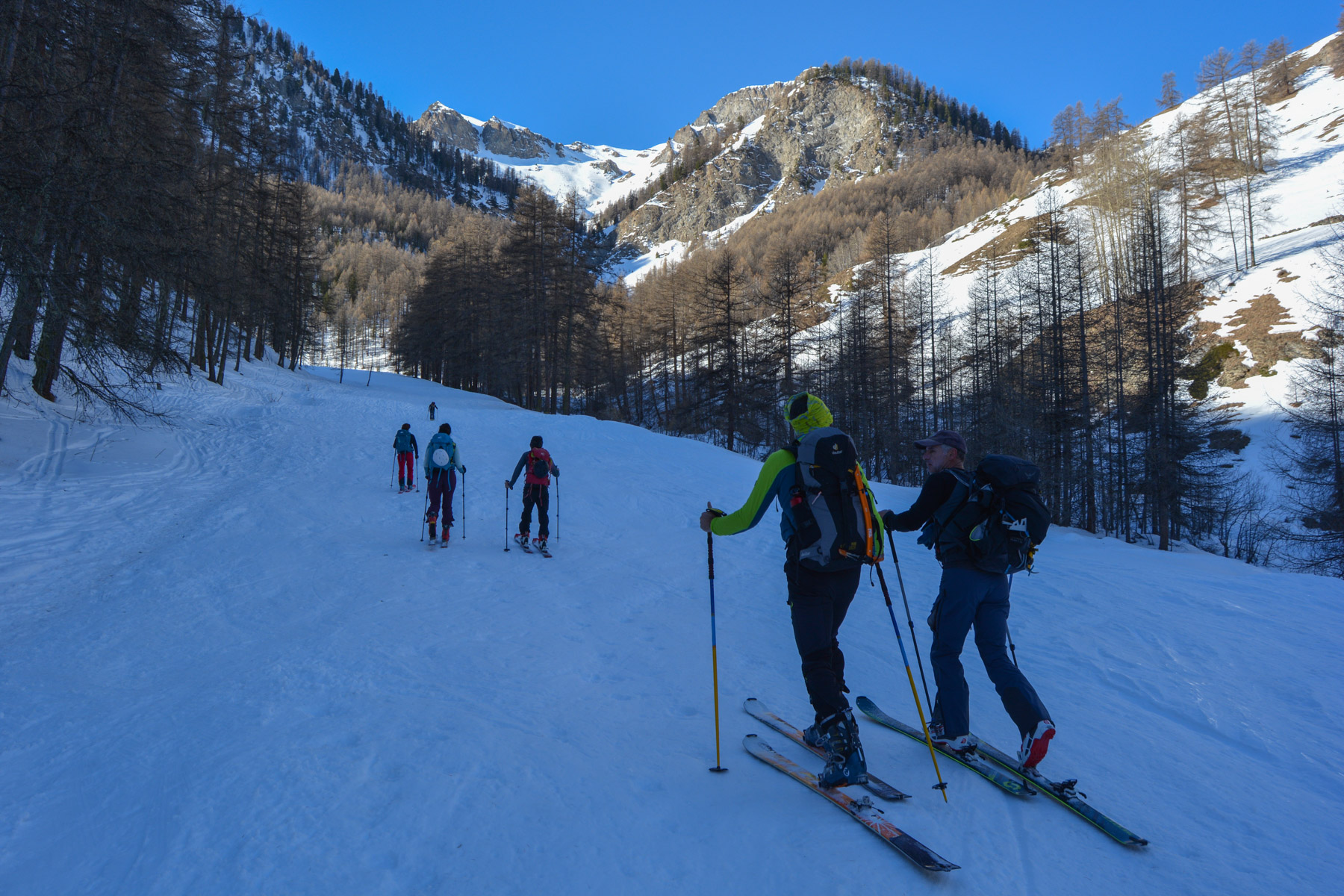
Follow the cross-country ski trail up to the quay below the village of Saint-Véran. Turn right into the Bois de Moulin and follow the bed of the Chatelard torrent on its right bank (left uphill). You'll soon come to a fork in the road: go straight ahead to the Lamaron huts, then right into a gully that follows the bed of the Chatelard torrent. Turn right.
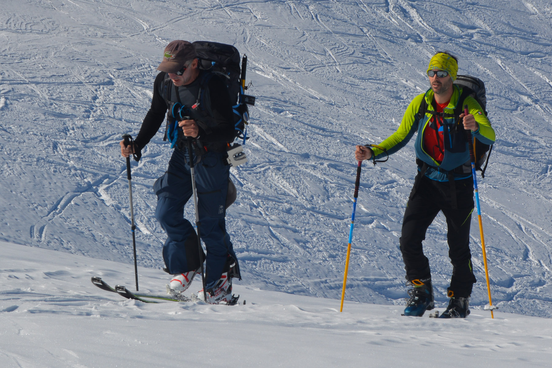
The itinerary is a return trip and poses no orientation problems. The difference in altitude is quite considerable (1130m). The trickiest part of the climb and descent is the torrent waterfall: crampons are required for the last 100m.
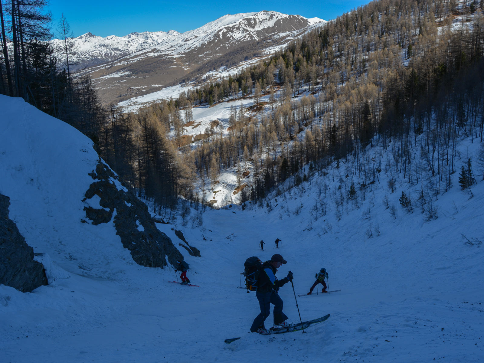
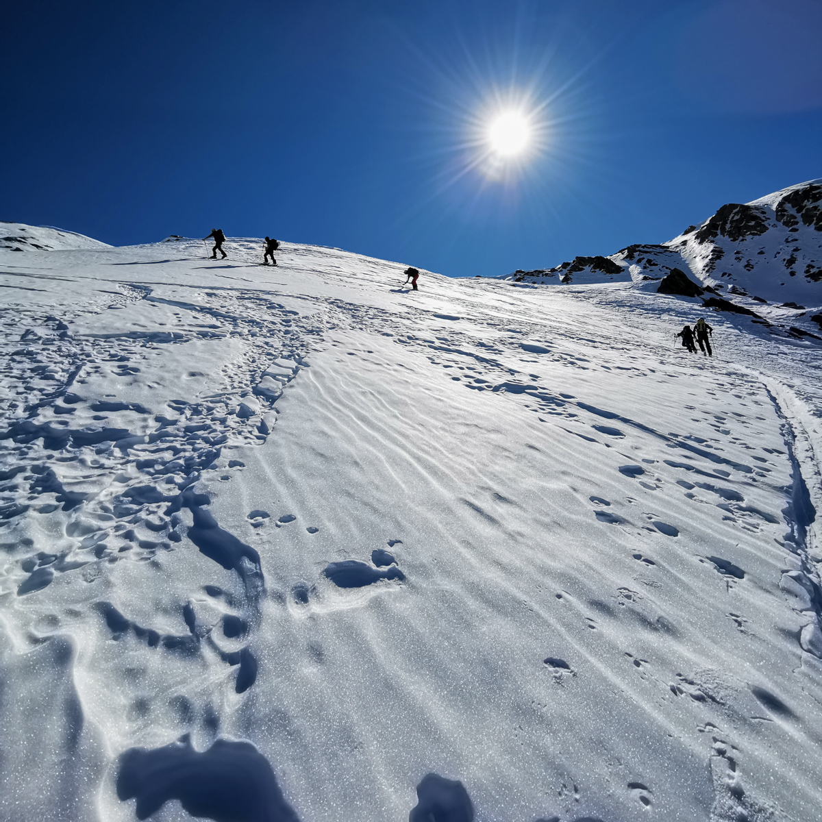
The couloir winds its way up in short laces, quickly gaining in altitude. Higher up, the exit ends at a waterfall with a few ice formations, and the passage can be negotiated with crampons. Above this, the wide, open Chatelard valley emerges.
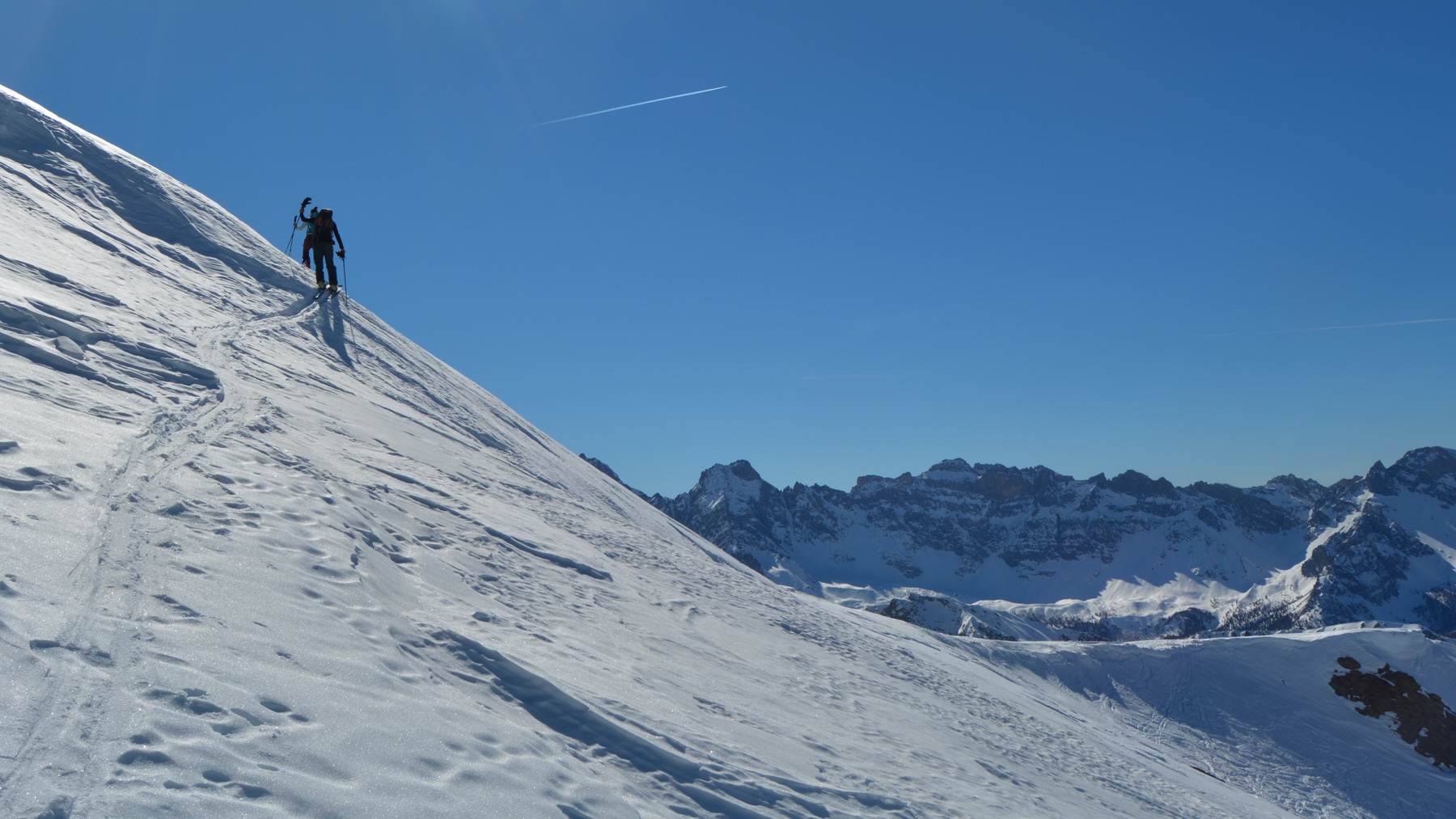
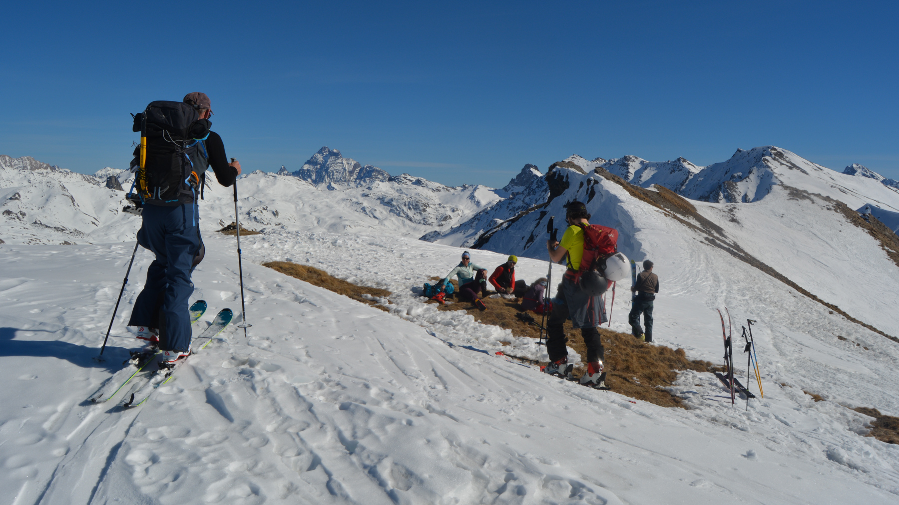
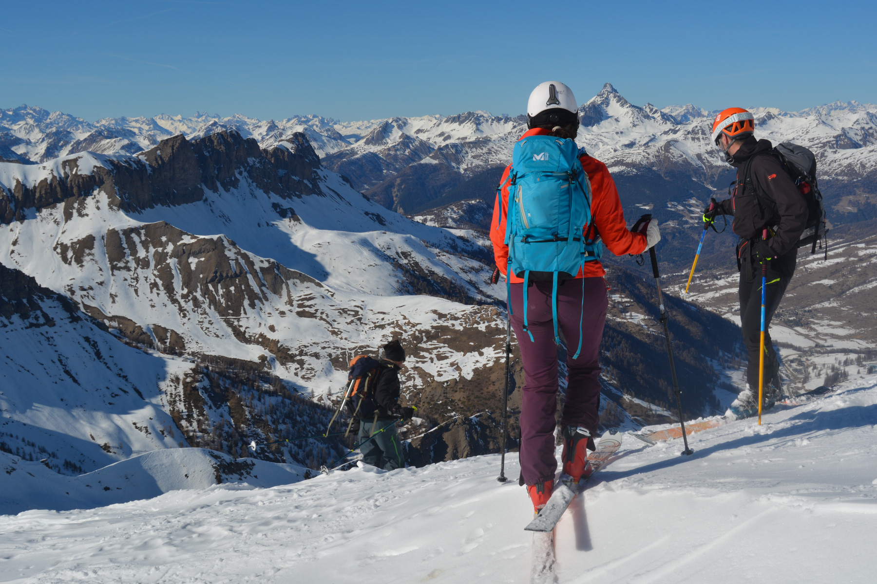
Wind your way up the valley, passing to the right of a large central rock overhang before emerging above it and crossing to the left. Climb again on slightly steeper slopes and find yourself below the ridge. The final section is steep and narrower, requiring shorter switchbacks to finally emerge onto the rounded ridge offering a view over the Ceillac valley. Climb without too much difficulty to the summit. Another splendid 360° view of the Queyras and the Alps.
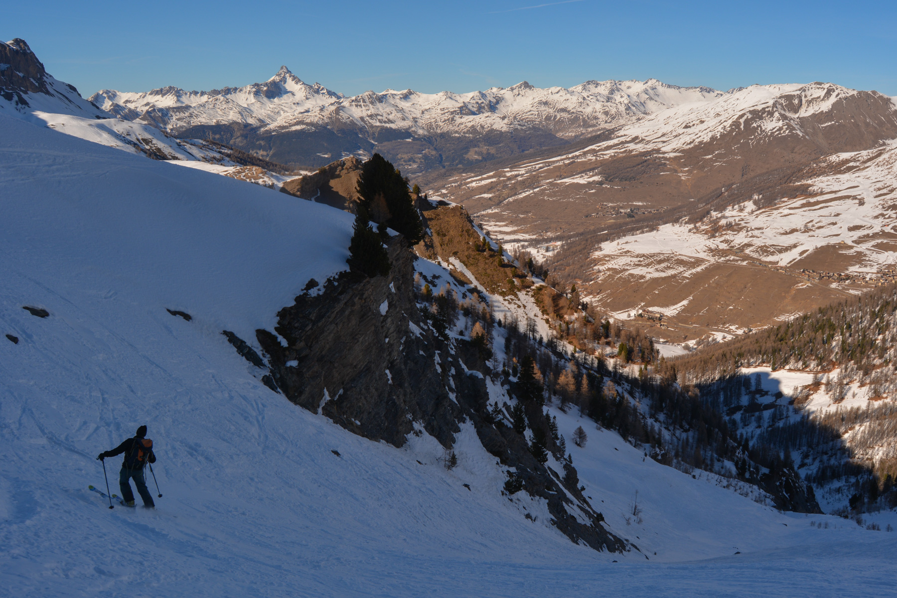
The Valon du Chatelard offers wide, steep slopes up to 30/35°. Further down, we prefer to descend to the right of the rocky overhang to ski a nice goulet. Further down, we reach the cascade du Chatelard with a tricky start to access the goulet and ski it back to the start fork.
Glide between the fir trees along the torrent bed to join a wider track that joins the cross-country ski trail. Slide down again, pushing a little on the poles, to reach Chalp and the starting parking lot.


Leave a Reply