


TOPO Ski Touring | CLIMBING7.COM
Publié le
 Partager sur WhatsApp
 Partager sur Twitter
Partager sur Instagram
Partager sur Twitter
Partager sur Instagram

 Partager sur Facebook
 Imprimer le topo
 Laisser un commentaire
A very fine run, in glorious weather, with a 3000m ascent and 360° views of Mont Viso and the Southern Alps. The route to the Pointe des Sagnes Longues is varied and gradual, with no major difficulties, even if the final dome is well exposed on the north side. The descent along almost the same path offers some fine sequences, with large snowfields and a few slightly steeper couloirs at the end. A must in the Queyras.
❱❱ Technical summary
Type ✦ Ski touring
Location ✦ Molines-en-Queyras, Fontgillarde
Region ✦ Queyras, Southern Alps
Country ✦ France
Direction ✦
Length ✦ 6.5kms
Vertical drop ✦ 1000m
Max altitude ✦ 3032m
Difficulty ✦ F-2.3-E2
Duration ✦ 4h to 5h
Interest ✦ ★★★
❱❱ Access to the place
On the road to Saint-Véran, at the level of Molines-en-Queyras, turn off towards Col Agnel on the D205. Pass Fontgillarde and stop at the Ariane bridge parking lot. The rest of the road is snow-covered.
❱❱ Map & topo
❱❱ Itinéraire
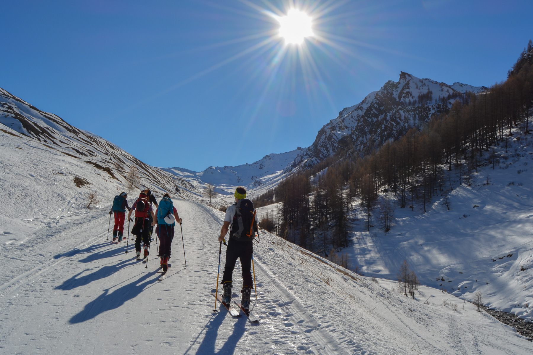
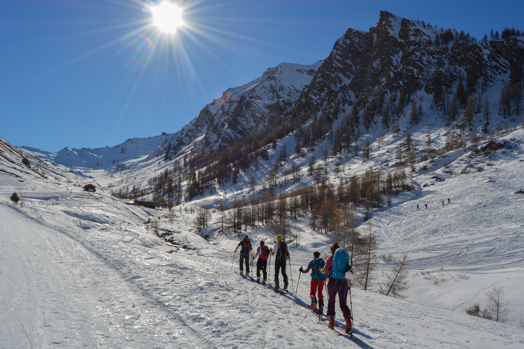
Simply follow the snow-covered road as it gradually rises to the valley floor. Before the Tioures sheepfold, turn right to cross the Aigue Agnelle on a small bridge. You're now facing the combe to be climbed.
A classic, popular and very accessible route. The climb poses no major difficulties. The starting couloir, which runs up the torrent de Clausis, is very exposed in the event of an avalanche (so should be avoided in this case). The hait is also a little exposed and, depending on the state of the snow, knives may be necessary. The route is a round trip.
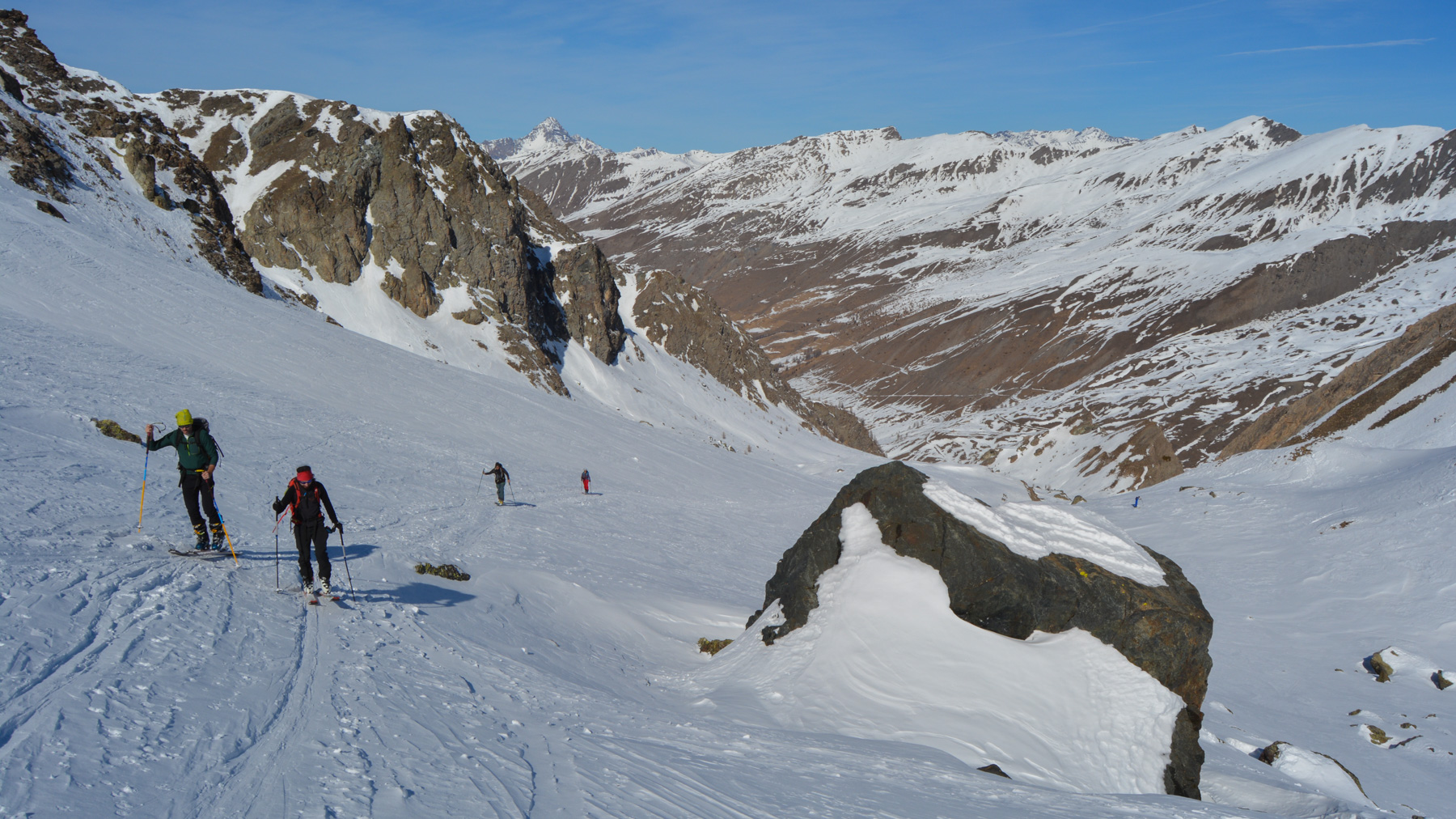
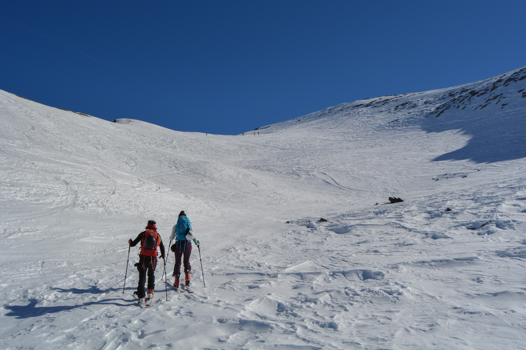
Steep, winding ascent through the fir trees. A few slippery traverses and we arrive under the rock bars above, before turning left to exit and access the vallon de Clausis, which opens up before us, with the goal of reaching the peak at 3000m, which can be seen on the left-hand side of a long ridge heading east.
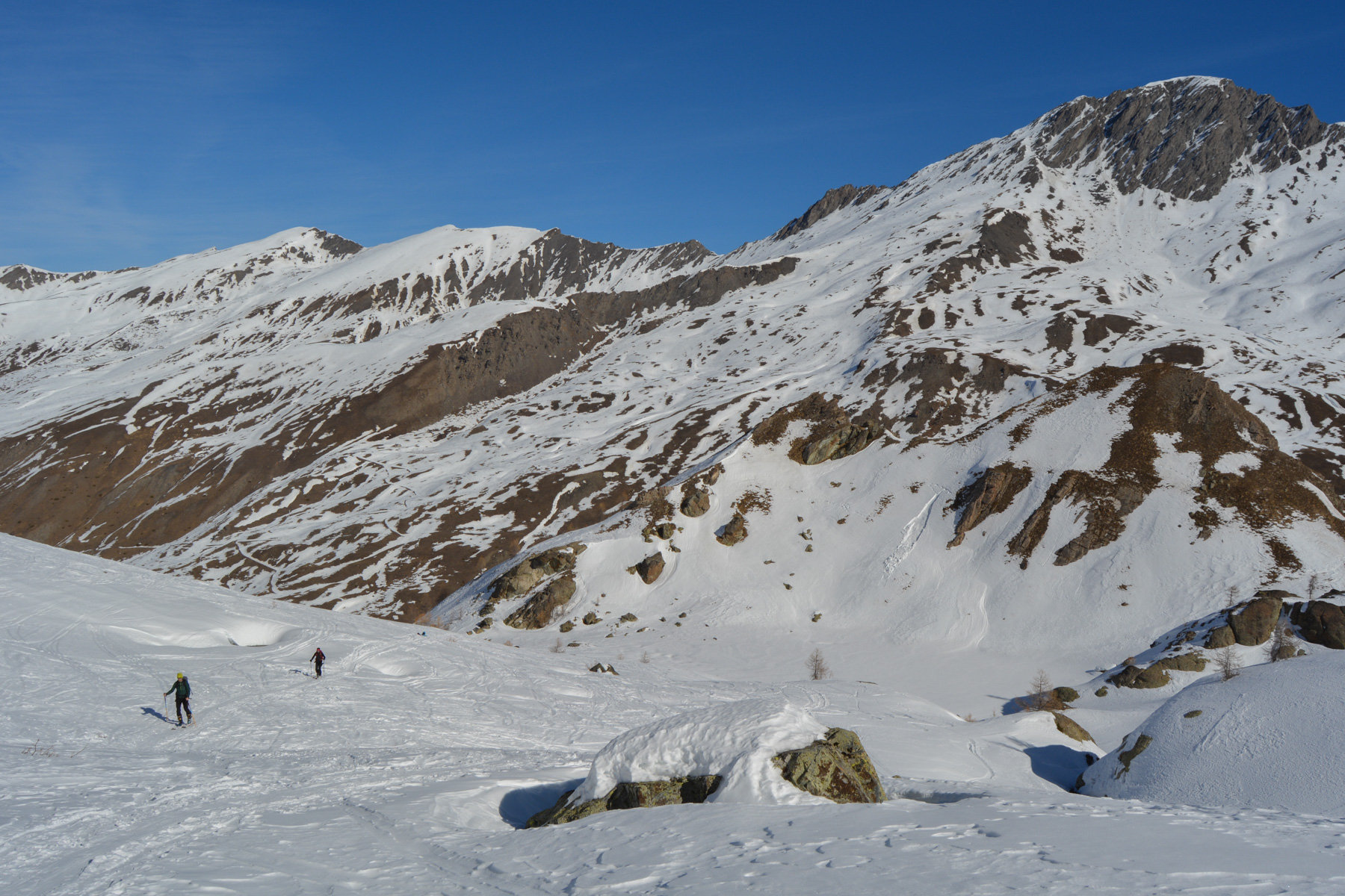
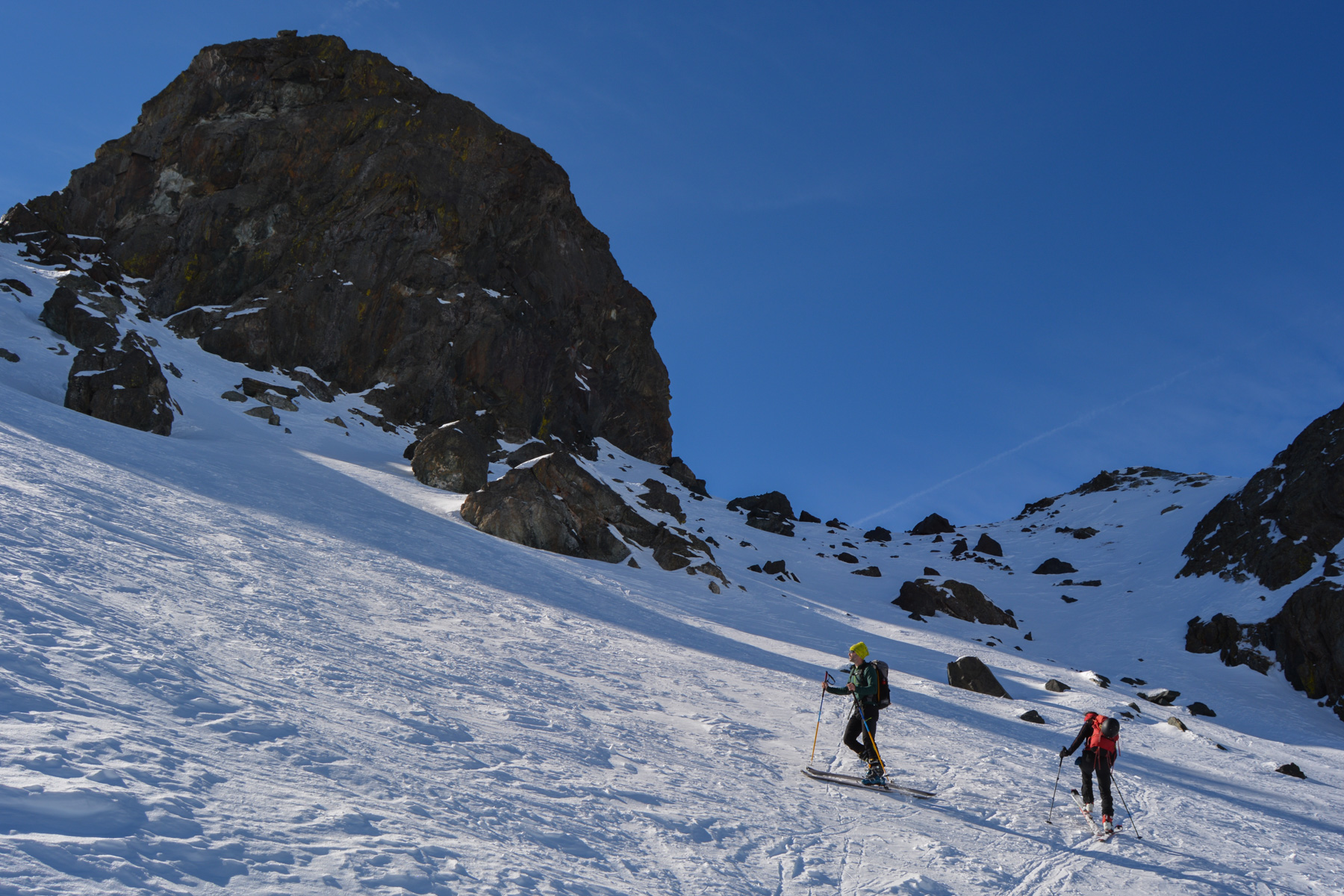
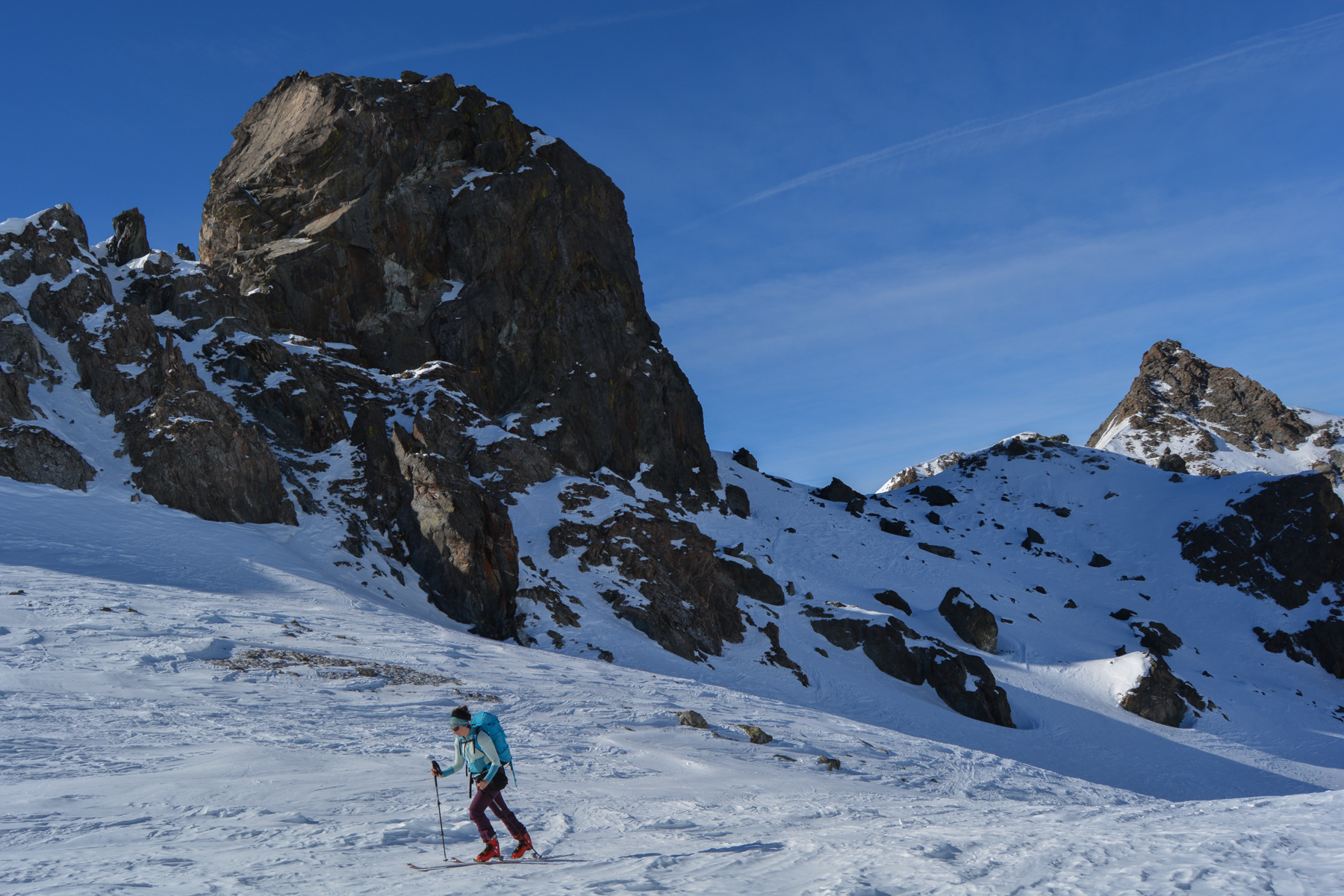
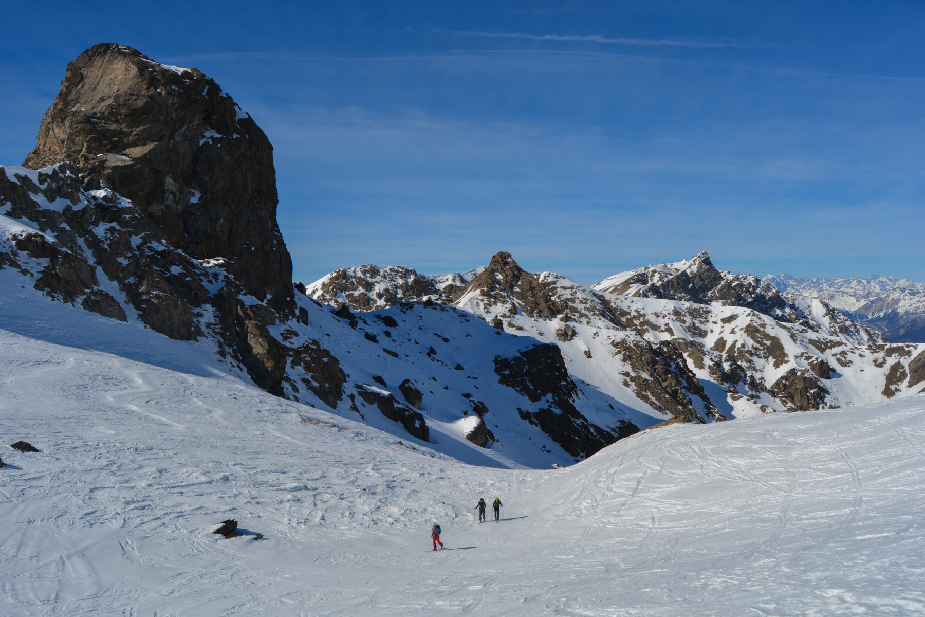
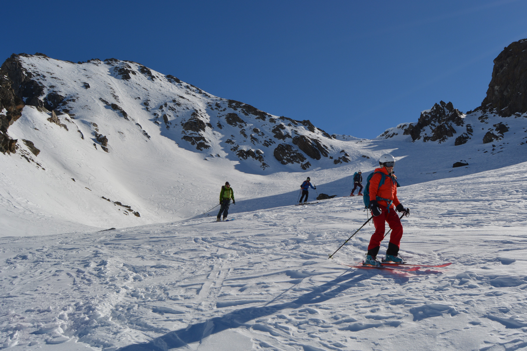
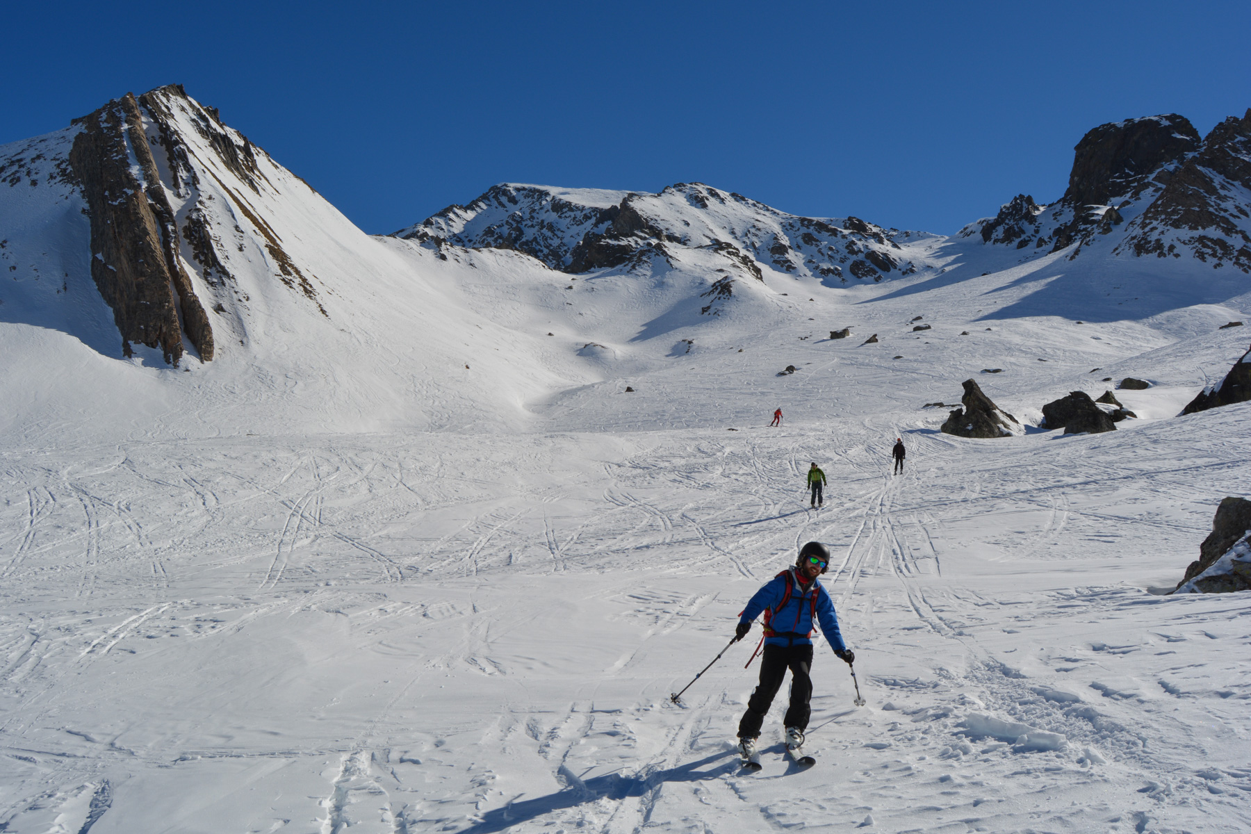
Climb up with less gradient in the middle of the large valley towards the Rouchon, a large rocky molar that already reaches 2929m. Further on, in front of the Pic de Cornivier, leave the couloir on the right and head left towards the base of the Rouchon. Here, the climb becomes steeper, until you finally exit to the left of the molaire and reach a new landing, this time giving access to the summit.
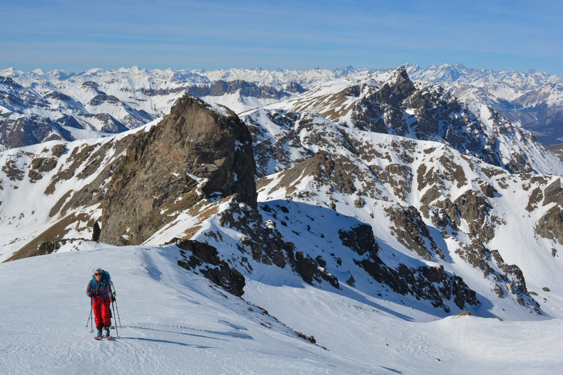
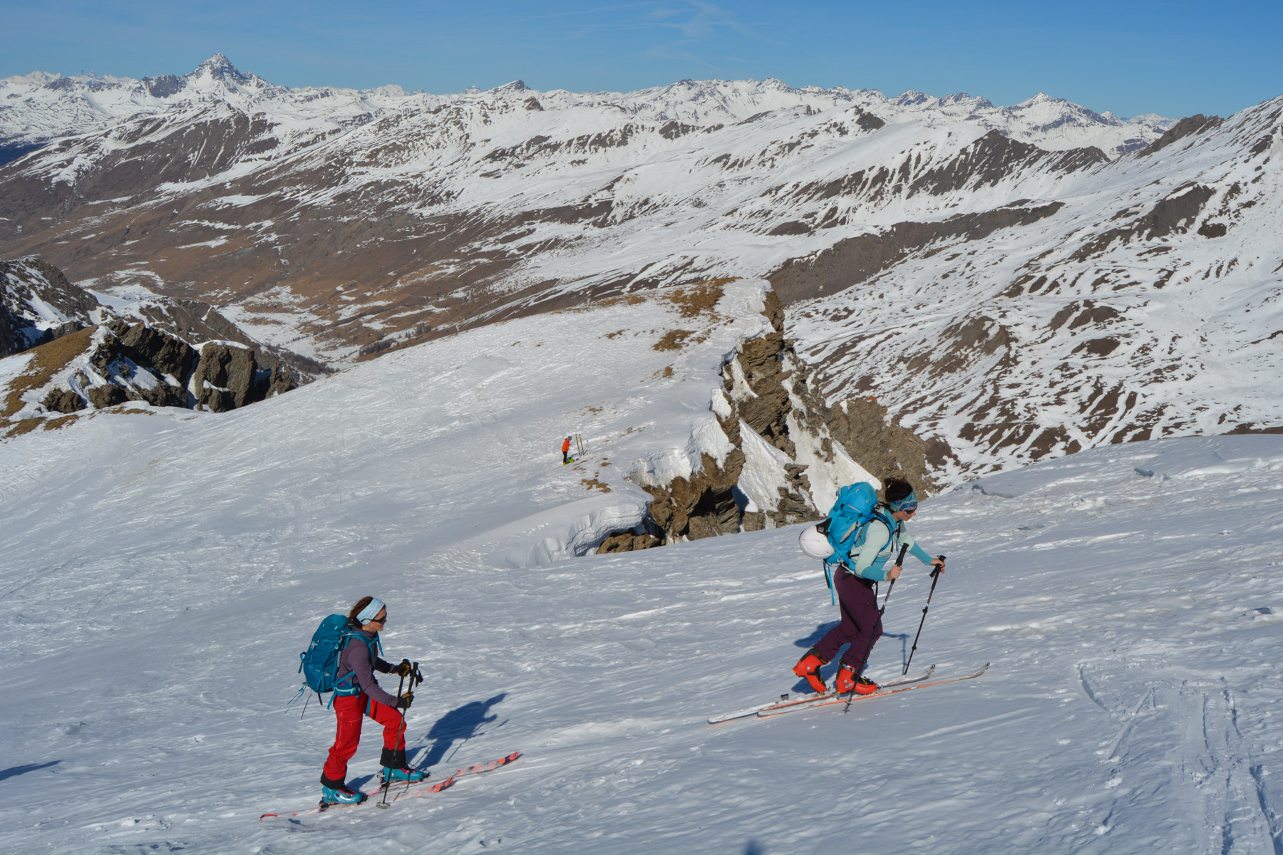
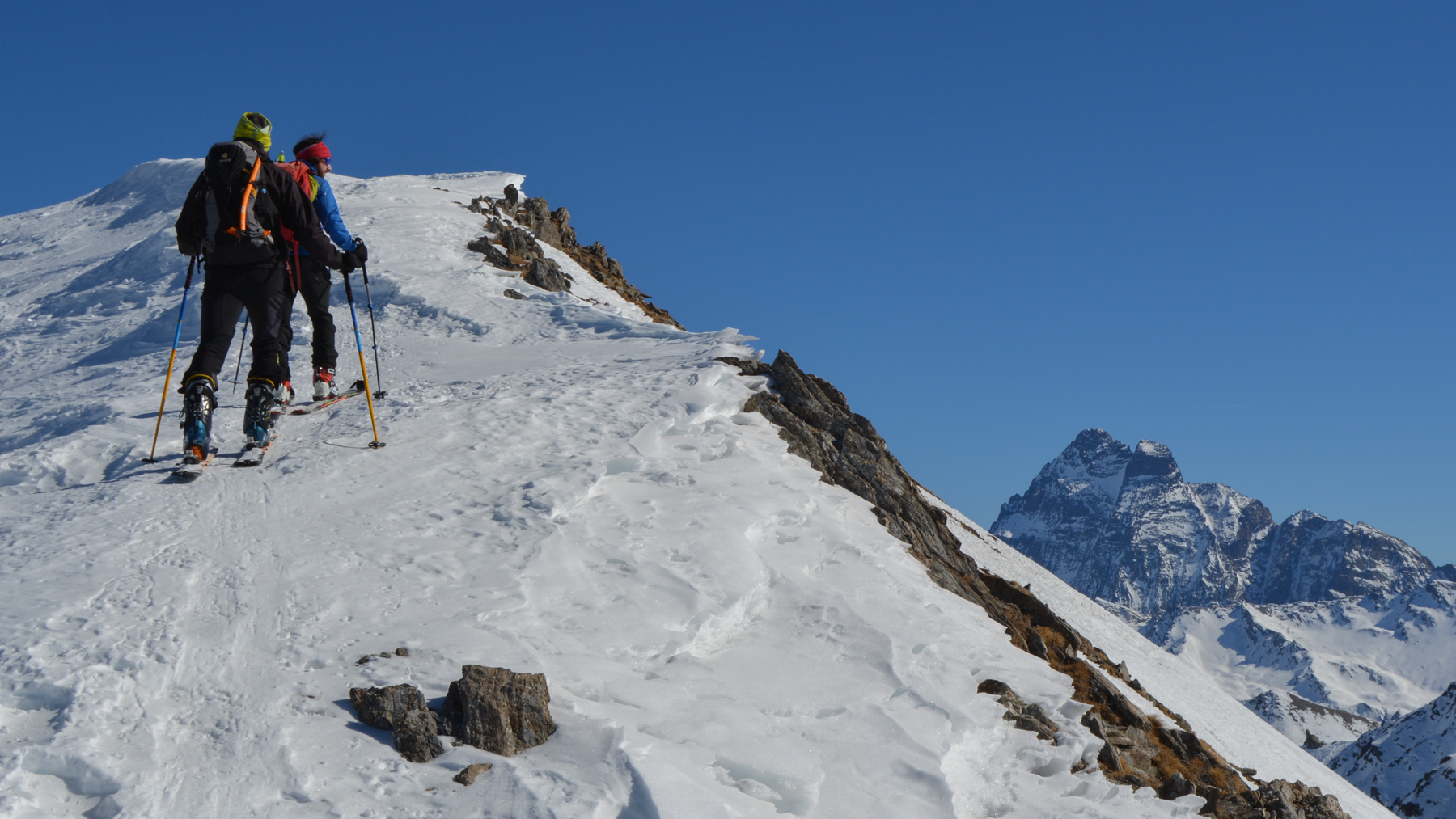
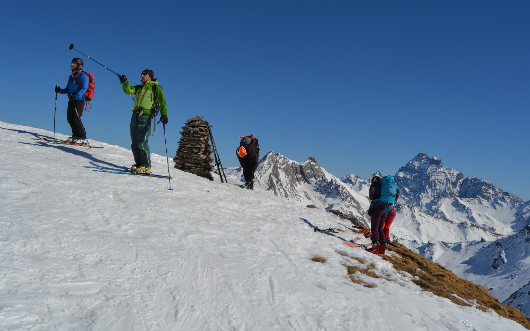
Cross the small valley and at the end you come to the edge of the cliffs on the north side, with lots of gas. Turn right and climb up to reach the ridge leading to the summit. It's more exposed and the south-facing valley offers a new panorama. At the rounded summit, not really a point (!), the view is splendid, with Mont Viso imposing itself on the landscape over the last few dozen metres.
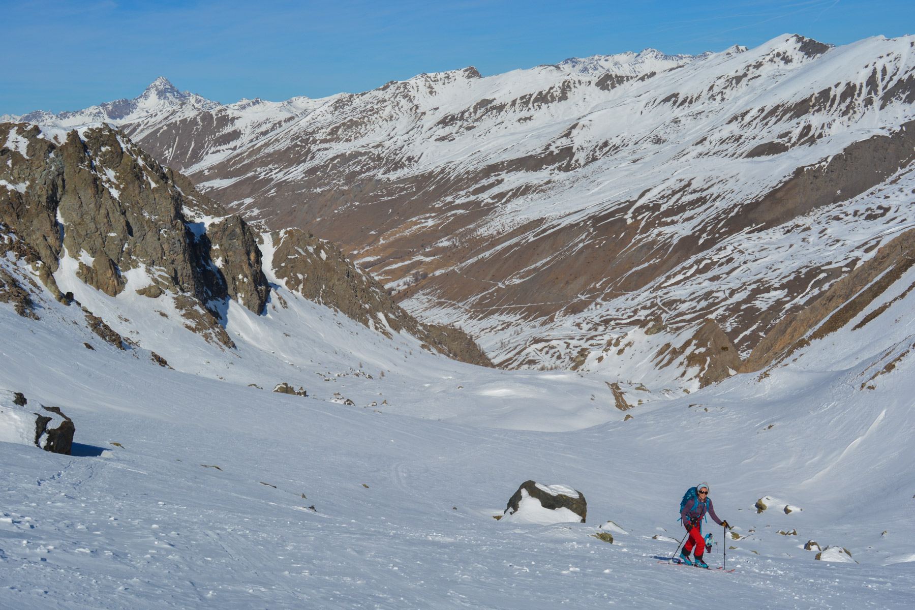
The upper part, the ridge, is exposed on the north side, and it's best to follow the ridge before starting downhill to reach the lower landing below the summit. Then, past the foot of Rouchon, you embark on a long descent on not too steep, wide slopes to return to the access passage to the valley below. The final section remains, steeper and more or less in the fir trees, with a few gullies and bumps to finish at the little bridge over the stream.
Glide as best you can on the snow-covered road with little gradient to keep your speed up and avoid pushing on the poles all the way to the parking lot.


Leave a Reply