


TOPO Hiking | CLIMBING7.COM
Publié le
 Partager sur WhatsApp
 Partager sur Twitter
Partager sur Instagram
Partager sur Twitter
Partager sur Instagram

 Partager sur Facebook
 Imprimer le topo
 Laisser un commentaire
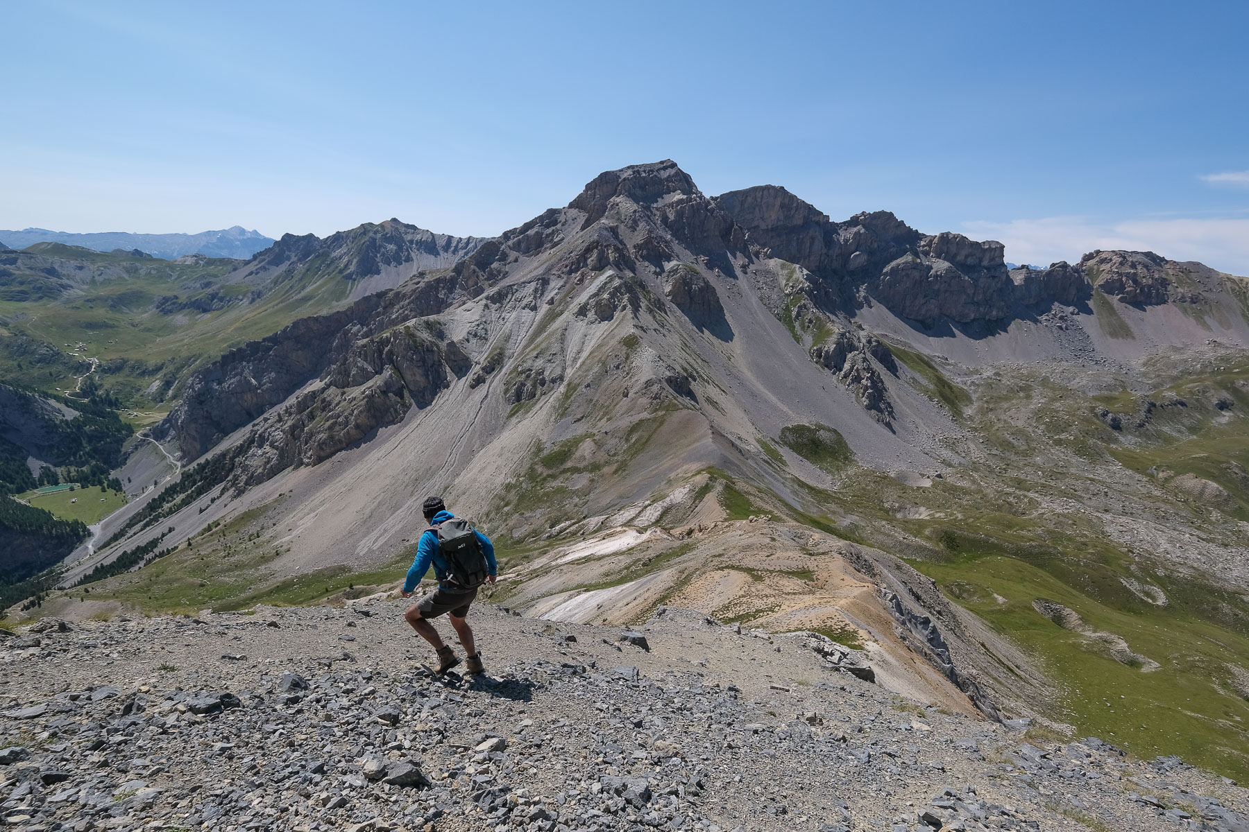
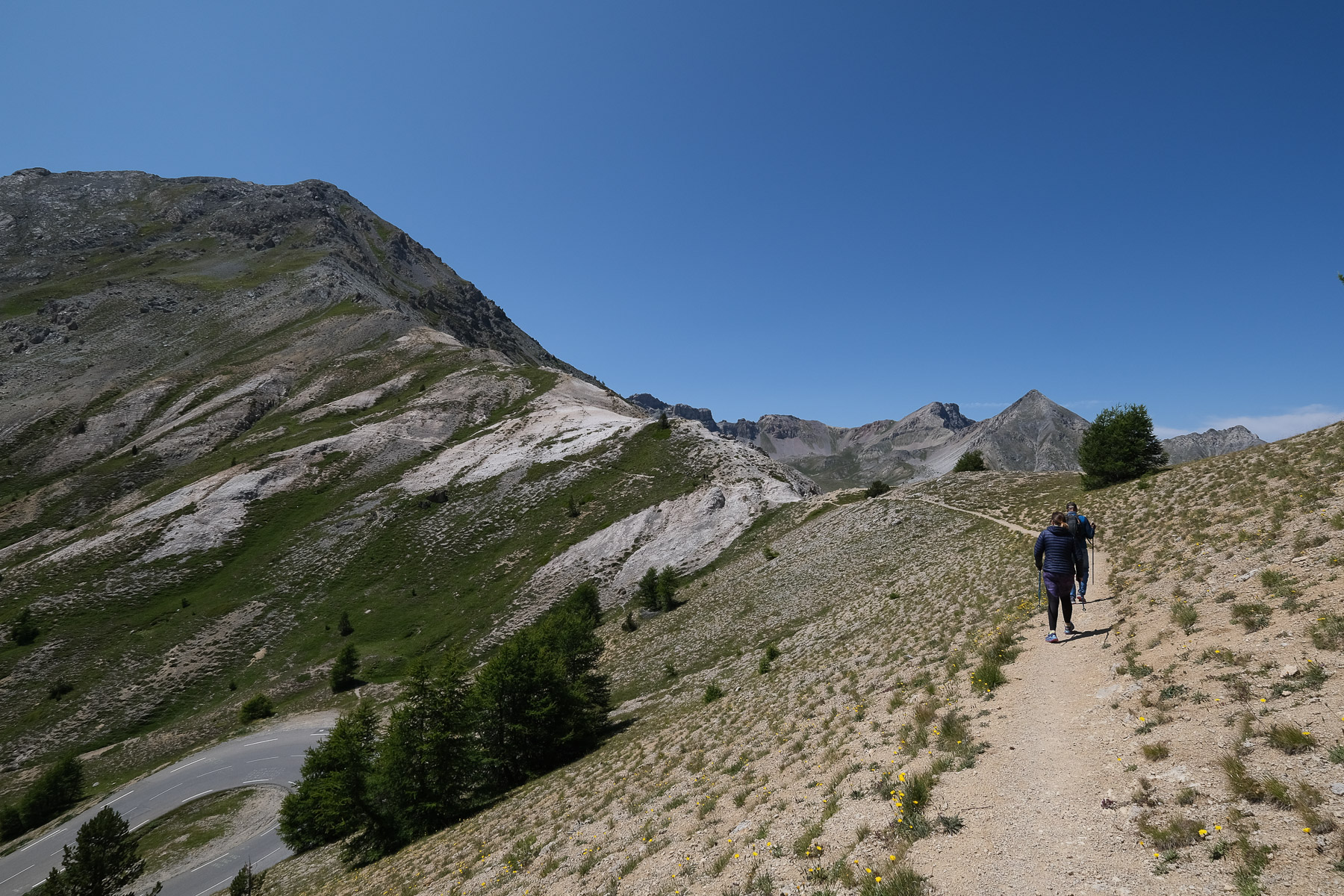
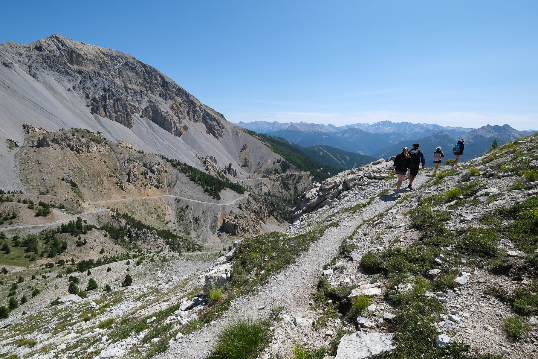
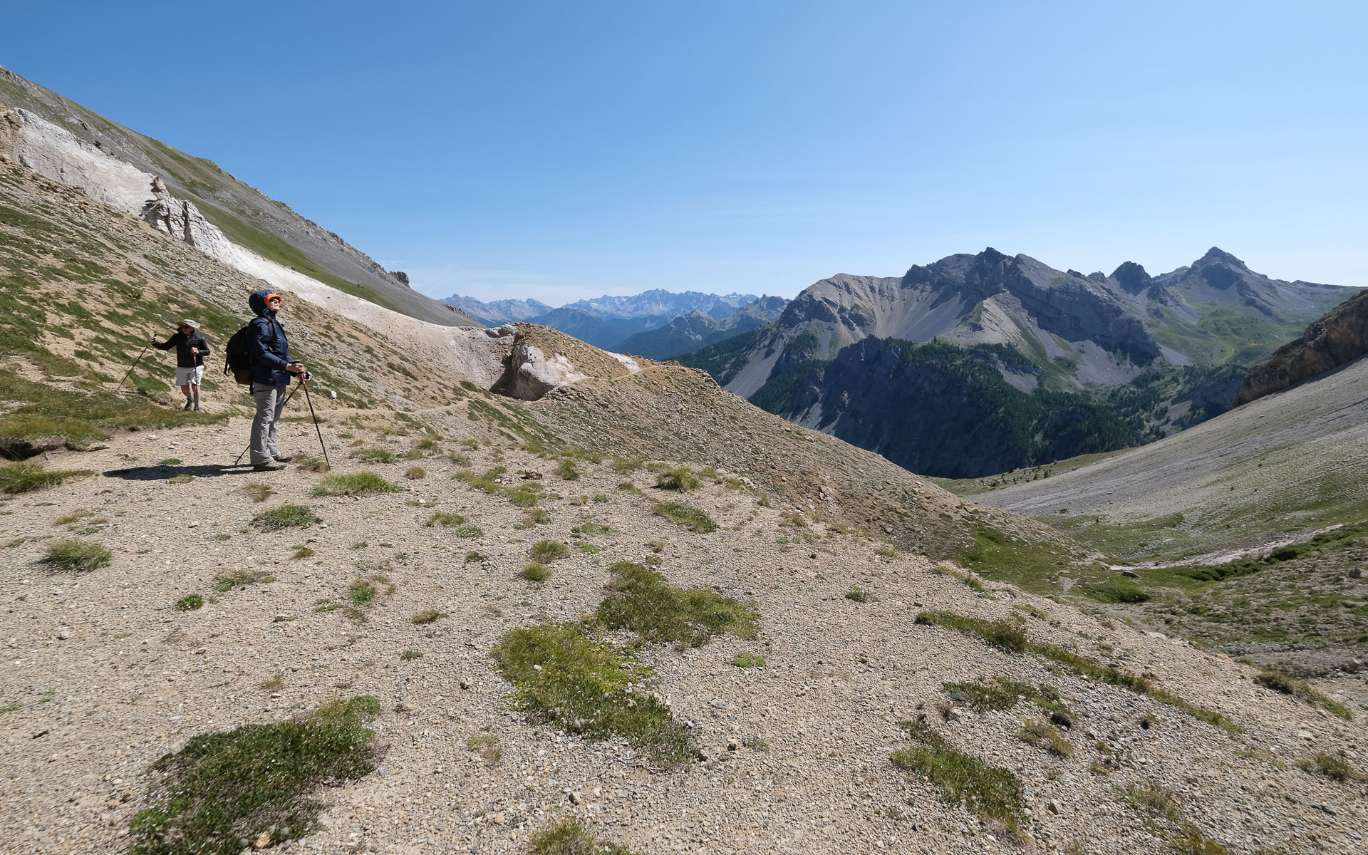
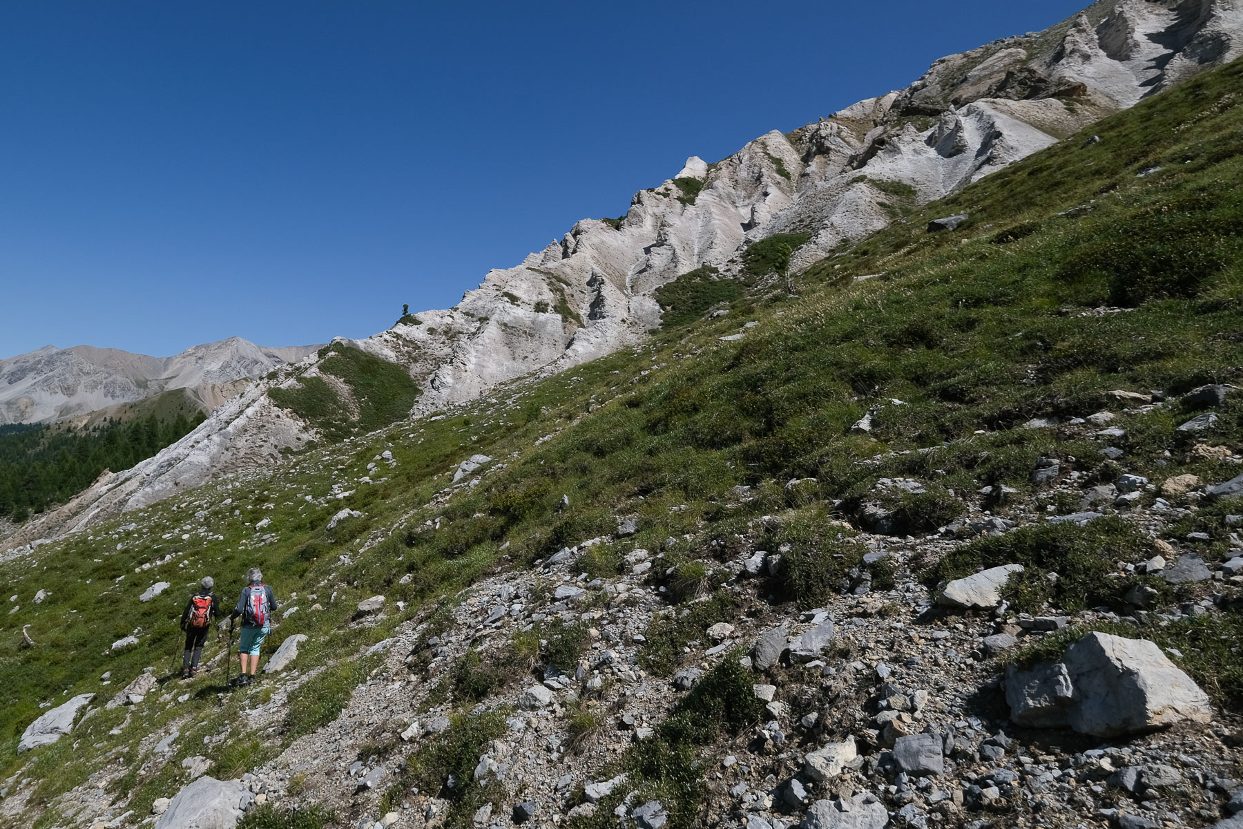
Here's a summit that overlooks almost all of the Queyras as far as Mont Viso, and offers glimpses of the Écrins glacier further north. The ascent to Clot de la Cime from Col d'Izoard is a classic, offered almost everywhere as a round trip. Here, the route forms a loop, passing over the Col des Ourdéis on the way back, enhancing interest and panoramas, but taking in a more difficult section from the summits to the col. The loop is therefore suitable for more experienced hikers, but is not overly difficult either. On the other hand, being in the high mountains, the weather must be good, and if it isn't, you'll have to make do with the return trip.
❱❱ Technical summary
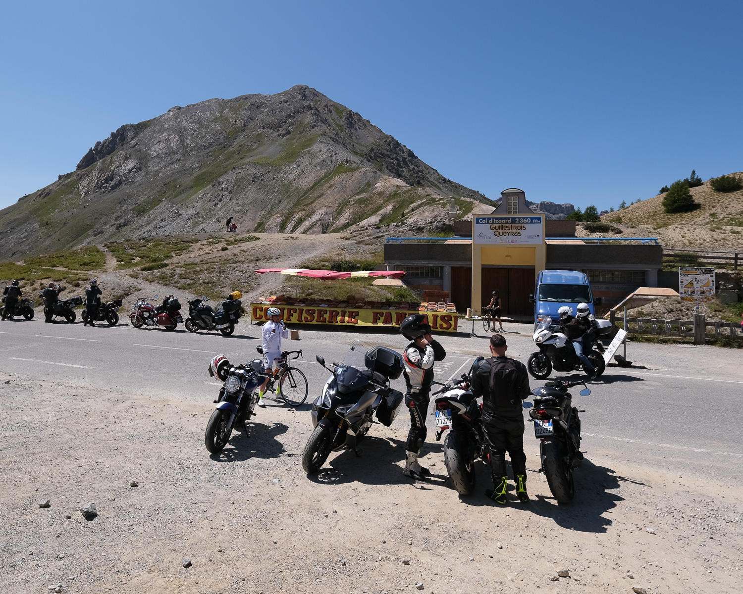
■ Departure point: Col d'Izoard, Queyras, Hautes-Alpes (05)
■ Type of route: high-mountain loop hike
■ Distance: 6 km
■ Cumulative elevation gain: +425 m
■ Cumulative negative elevation gain: -425 m
■ Estimated total time: 2h to 3h
■ Min and max altitude: 2365 m / 2732 m
■ Marking: yellow PR trail on the way up, loop via the Col des Ourdéis on unmarked trail
■ Equipment: none
■ Equipment required: GPS track useful for return loop
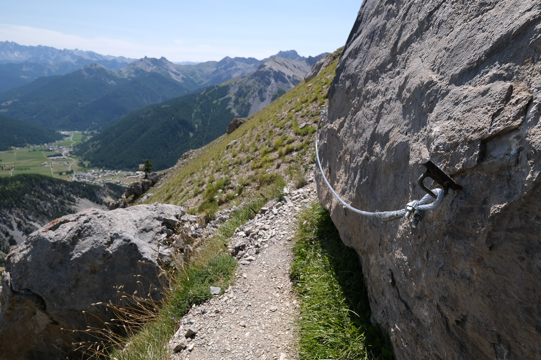
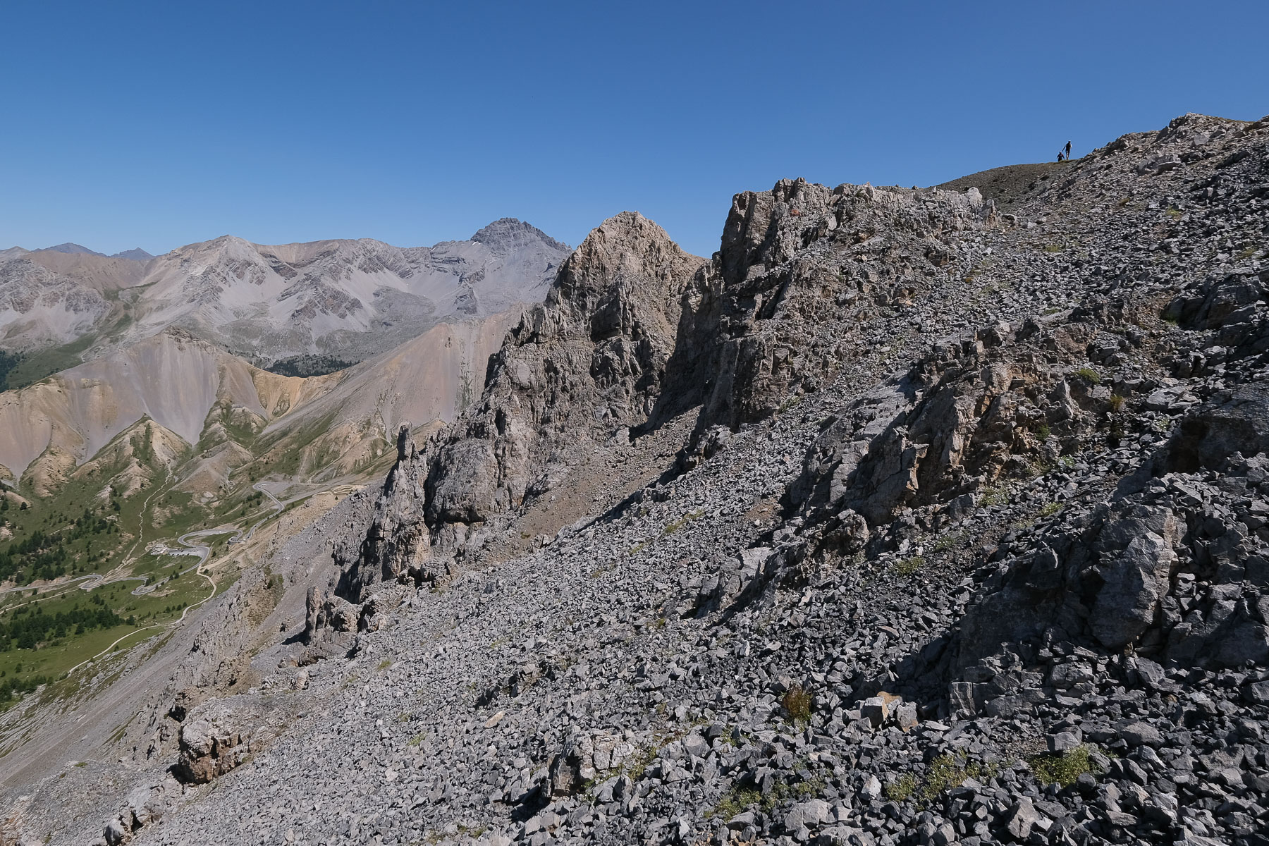
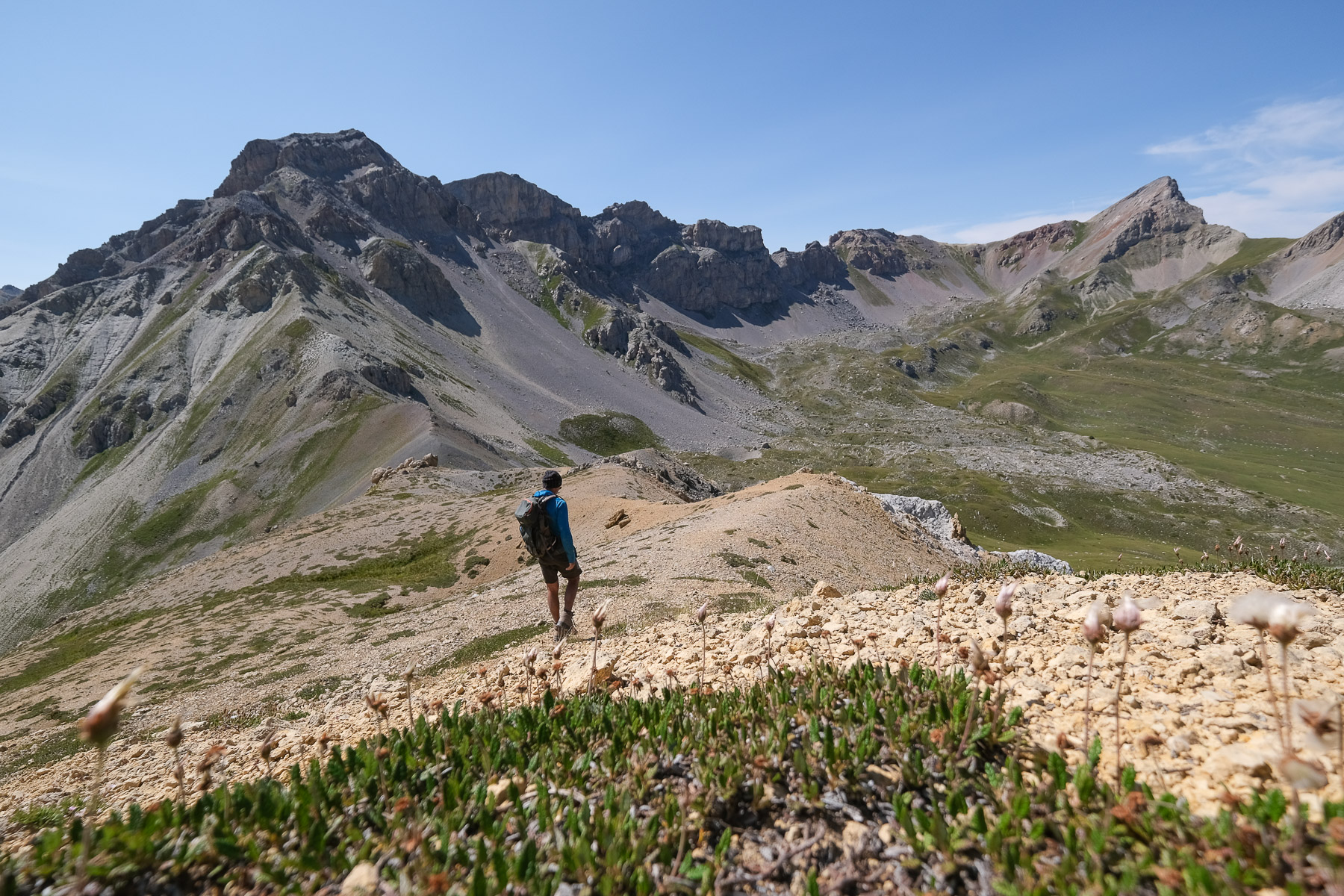
Difficulties: in the 2nd part, ridge and descent on steep, unstable terrain, some orientation in the 3rd part.
❱❱ Access to the place
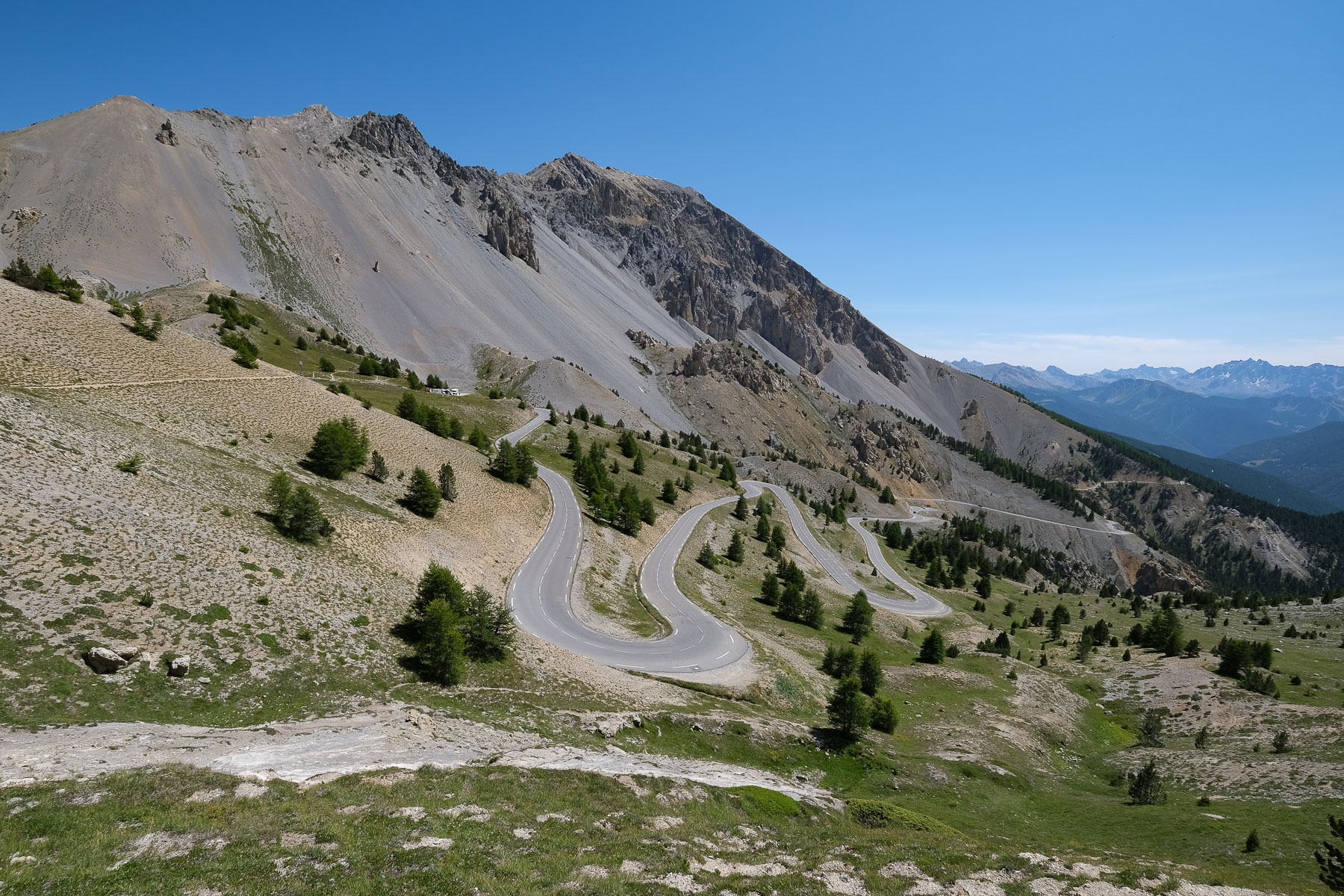
From Guillestre, take the departmental road up to Chateau-Queyras, then branch off towards Arvieux. Pass Arvieux, La Chalp and Brunissard to tackle the iconic Col d'Izoard climb. At the pass, park. Starting point of the hike. The summit of Clot la Cime is visible from here, on the left as you arrive, to the west. You can also see the path that crosses the mountain to the left.
❱❱ Map & topo
The route back from the Col des Ourdéis to the road under the Col d'Izoard is approximate.
❱❱ Itinéraire
The ascent to the summit of Clot la Cime is marked in yellow by the PR, while the return via the ridge and the Col des Ourdéis is on an unmarked path with cairns, and even off-path to return to the col via the north side of the mountain.
Topo of the round-trip ascent on visorando.


Leave a Reply