


TOPO Hiking | CLIMBING7.COM
Publié le
 Partager sur WhatsApp
 Partager sur Twitter
Partager sur Instagram
Partager sur Twitter
Partager sur Instagram

 Partager sur Facebook
 Imprimer le topo
 Laisser un commentaire

From the top of the Aigue Agnelle valley, this high-altitude hike provides effortless access to a 3000m peak on the Italian border and spectacular views of the Queyras Regional Park, the Aigue Blanche valley on the Italian side and Monte Viso, the local giant. A short itinerary with no real difficulties if the weather conditions are right, especially the mist that tends to rise on the Italian side and coat the peaks even in summer. This itinerary can be extended for a more challenging route by linking several other nearby 3000m peaks: Punta Dell'Alp and Rocca Bianca.
❱❱ Technical summary
■ Departure point: Col d'Agnel, Molines-en-Queyras, Queyras, Hautes-ALpes (05)
■ Type of route: high-mountain out-and-back hike
■ Distance: 6 km
■ Cumulative elevation gain: +400 m
■ Cumulative negative altitude gain: -400 m
■ Estimated total time: 2h to 3h
■ Min and max altitude: 2620 m / 3025 m
■ Beaconing: yes to Col de Chamoussière, clear cairn path to Pic
■ Equipment: none
■ Equipment required: none
Difficulties: none, the route is very accessible.
❱❱ Access to the place
From Guillestre, take the Chateau-Queyras road, then Saint-Véran. At Molines-en-Queyras, before Saint Véran, take the Col d'Agnel road towards Italy. Pass Fontgillarde and follow the small road up the Aigue Agnelle valley. Pass the Agnel refuge and park in the parking lot just beyond.
❱❱ Map & topo
❱❱ Itinéraire
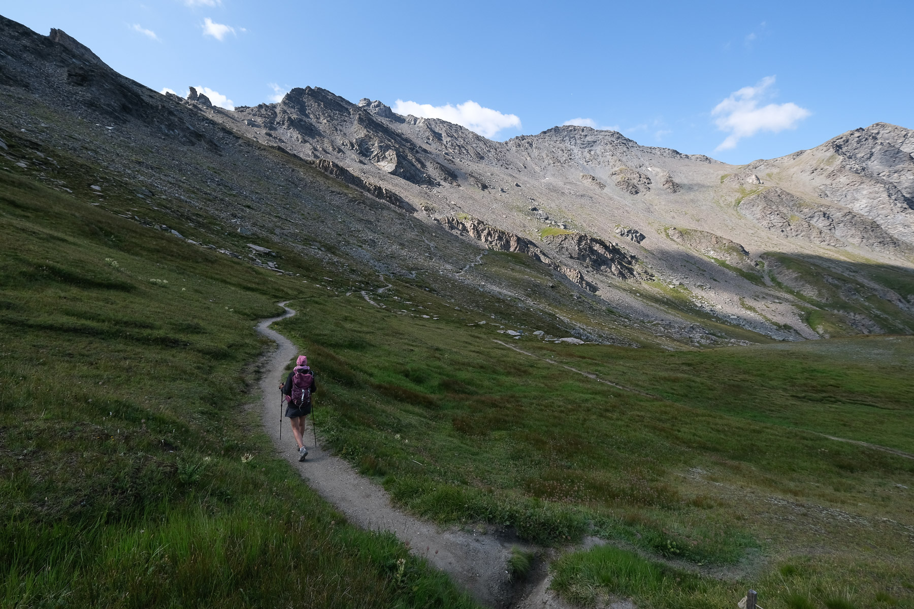
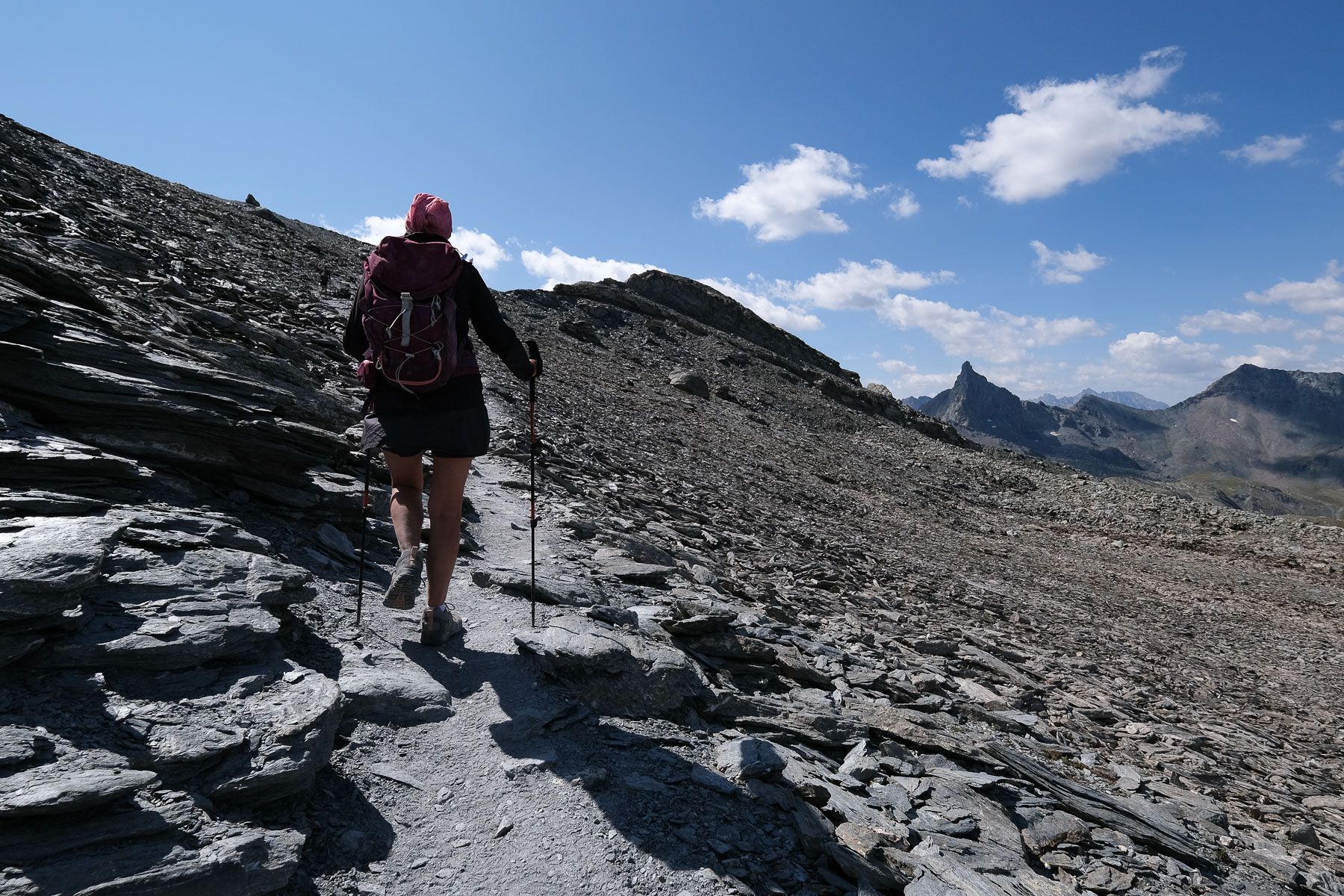
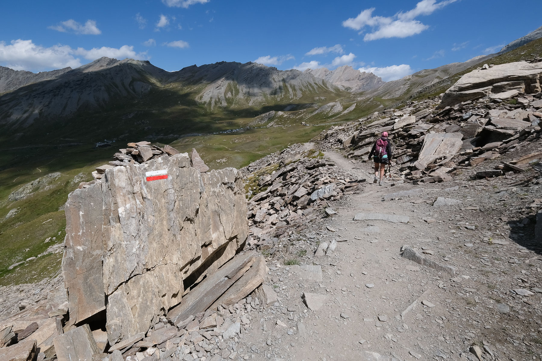
From the parking lot, take the signposted path to Col de Chamoussière. Keep straight on, climbing gently and crossing at length, heading west. Further on, the path crosses a wide field of flat stones, climbing a little steeper at the end to reach the pass at 2882m.
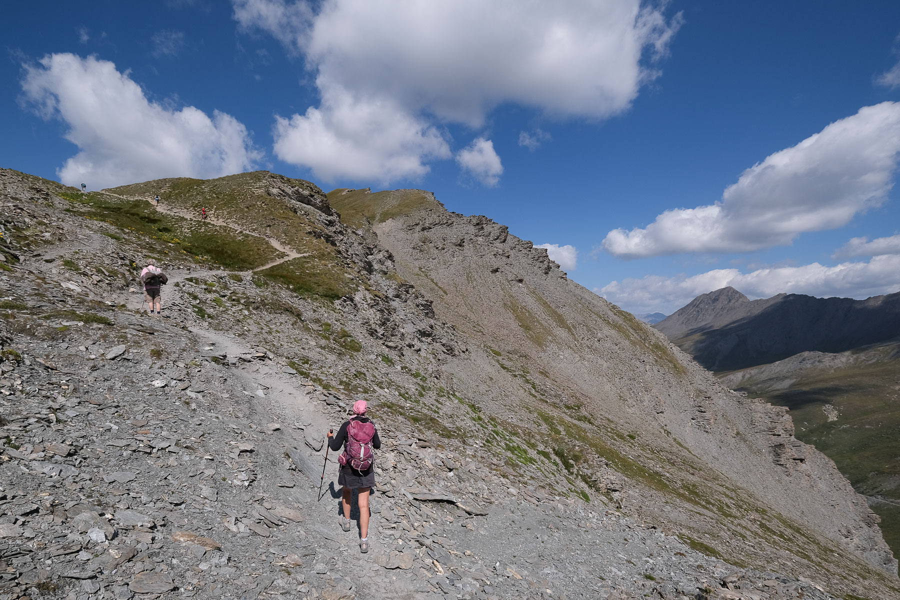
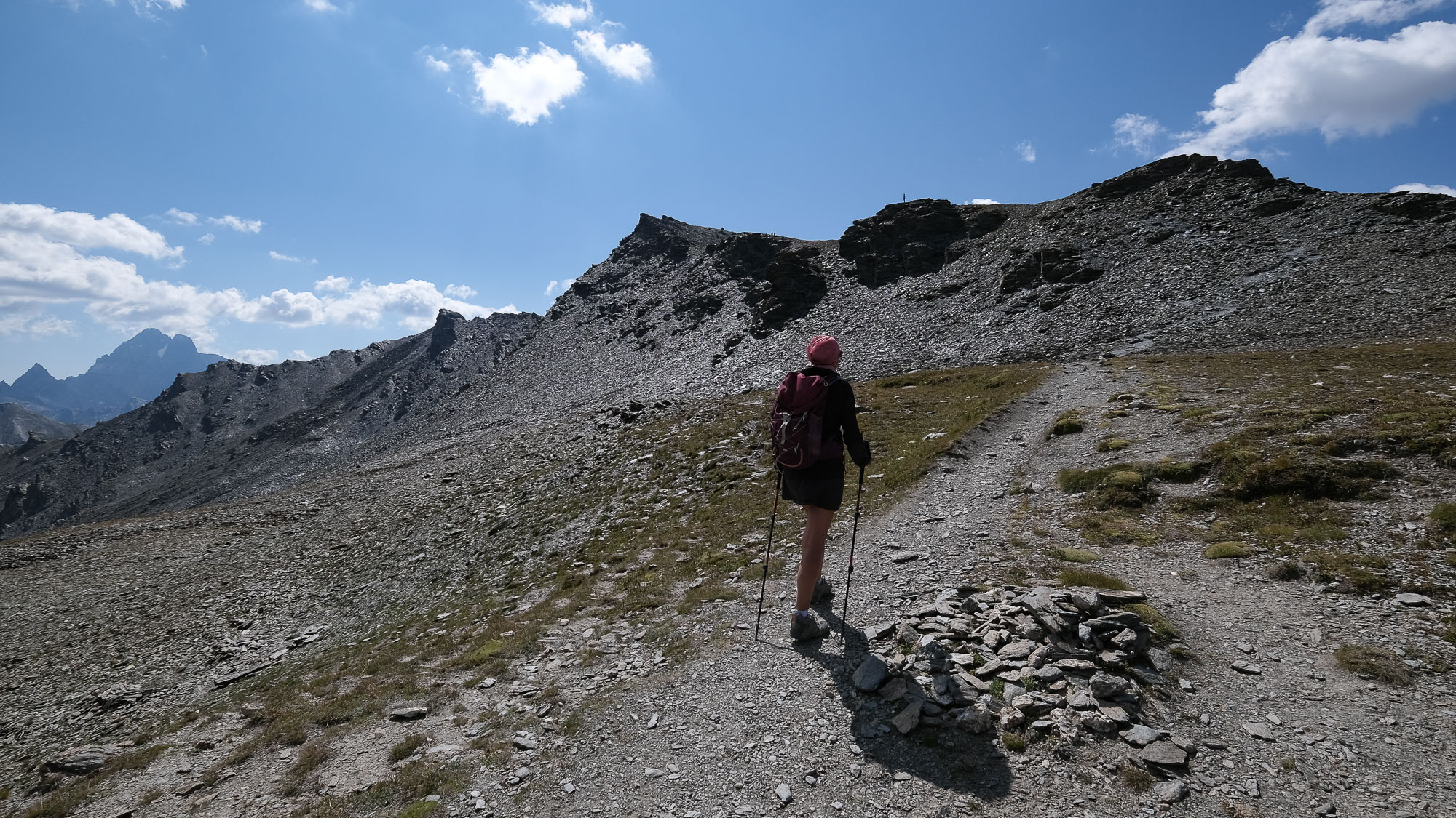
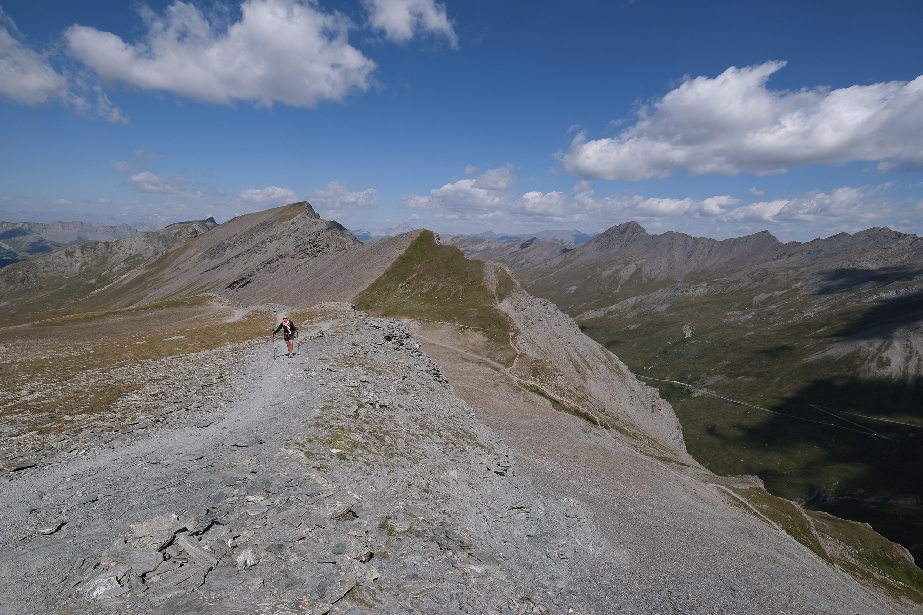
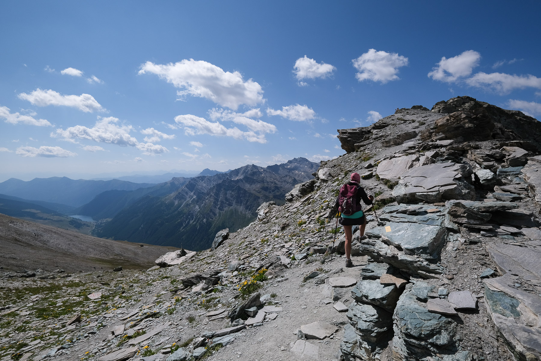
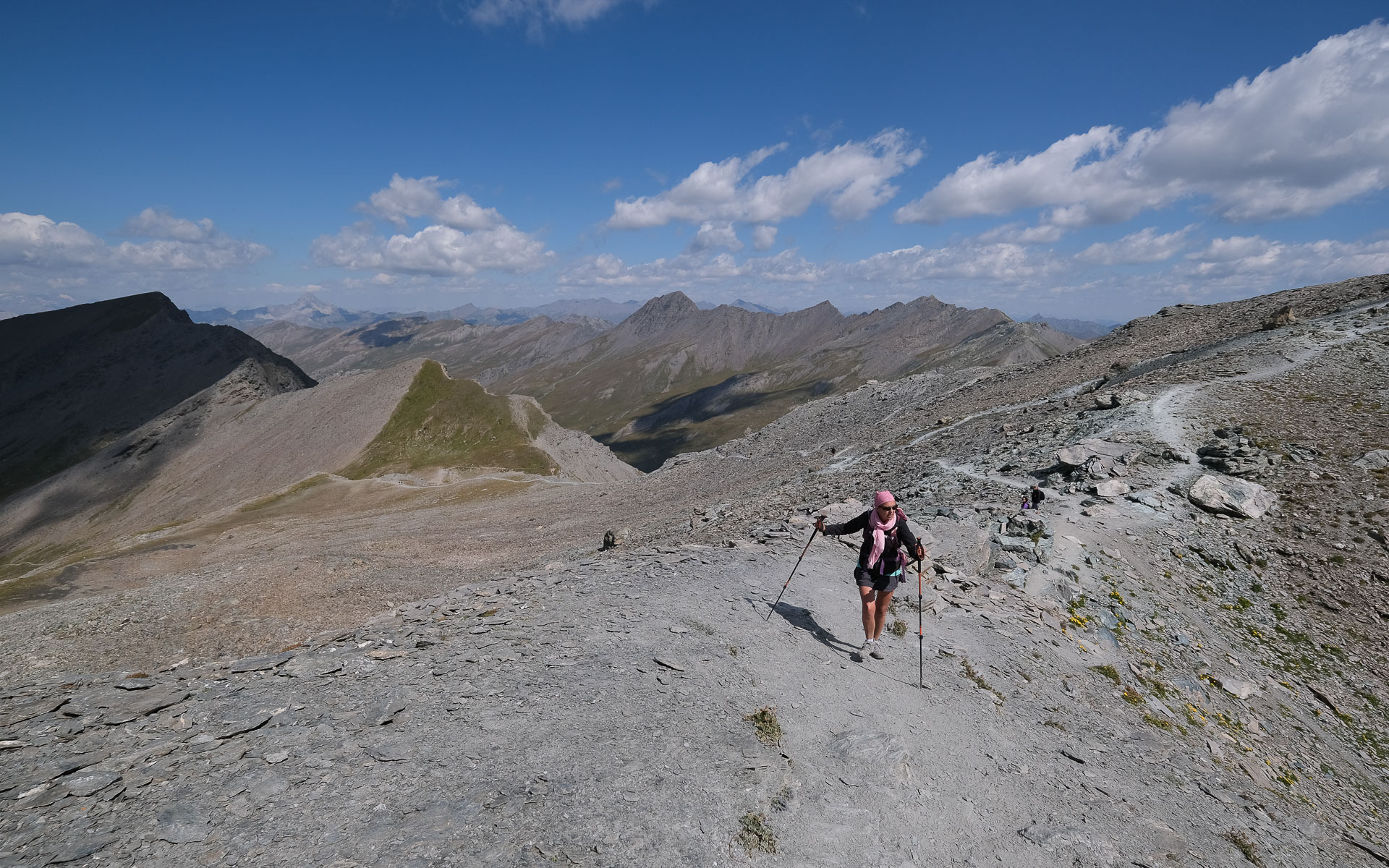
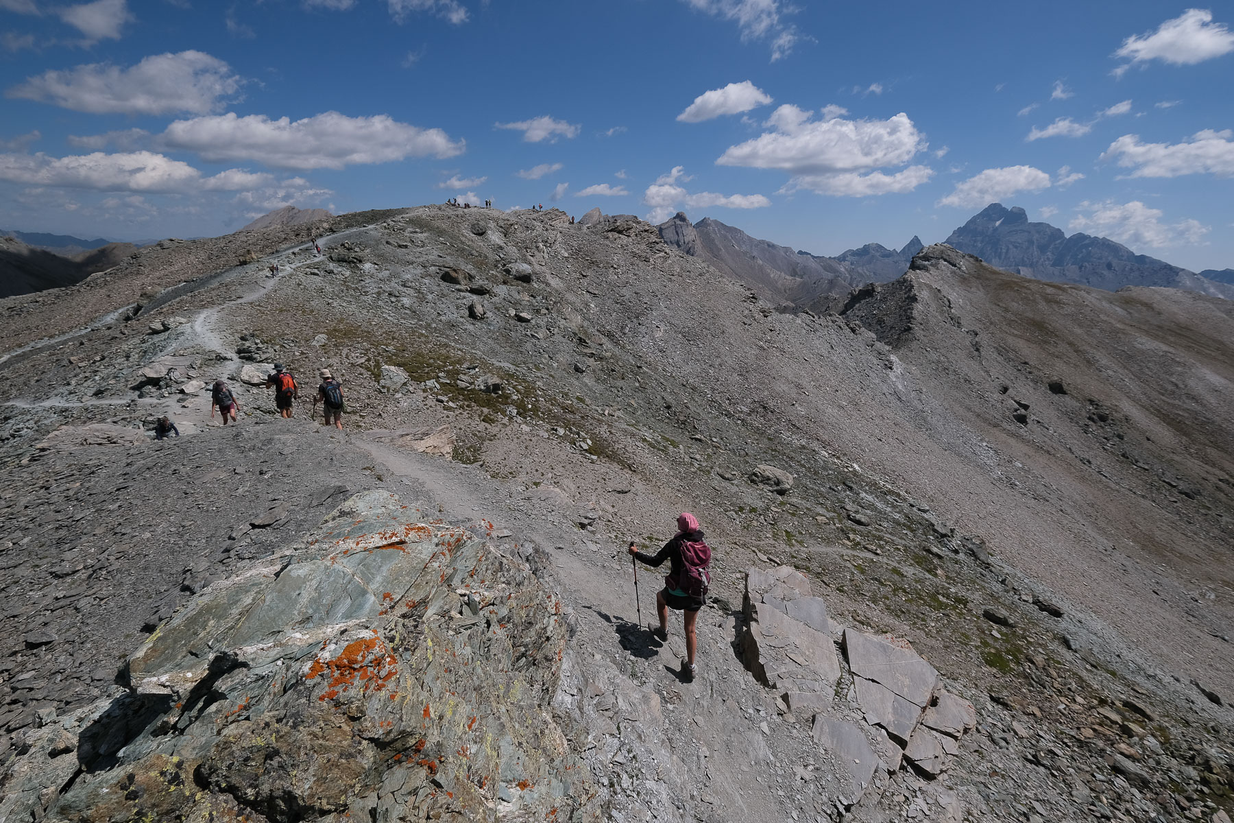
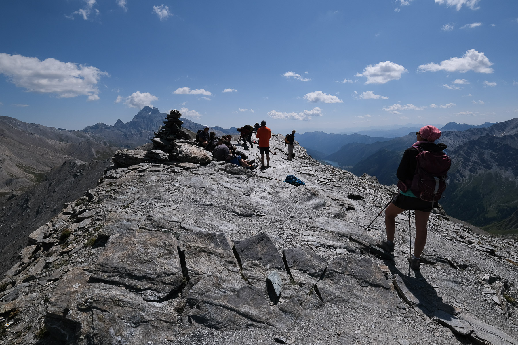
From the Col de Chamoussière, head south-east, following the clearly visible path that attacks the ridge, which is steep on the north side but gentle and rounded on the south side. The scenery is very mineral, and you soon see the Roca del Nigro forming a point above the ridge. We then reach a pass between the 2 summits. On the right, the southern summit of Pic de Caramantran, with superb views of the valley on the Italian side, Pontechianale and the artificial lake of Castello. To the left, we reach the Pic Nord, the highest peak by a few meters (3025m), with a splendid panorama of the Pain de Sucre and Monte Viso (3841m) in the background.
On the way back, the itinerary is the other way round: Col de Chamoussière and the return to the parking lot is easy and fairly quick.
For a more challenging hike, see the topo of the Pic de Caramantran, Punta Dell'Alp and Rocca Bianca loop on altituderando.


![2017-08-08_14-16-17 [Paglia orba et Tafunatu]](https://climbing7.com/wp-content/uploads/2017/09/2017-08-08_14-16-17-paglia-orba-et-tafunatu-e1544477255208-1024x682.jpg "Paglia Orba, Col de Vergio")

Leave a Reply