


TOPO Canyoning | CLIMBING7.COM
Publié le
 Partager sur WhatsApp
 Partager sur Twitter
Partager sur Instagram
Partager sur Twitter
Partager sur Instagram

 Partager sur Facebook
 Imprimer le topo
 Laisser un commentaire

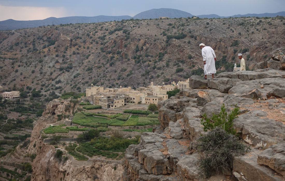
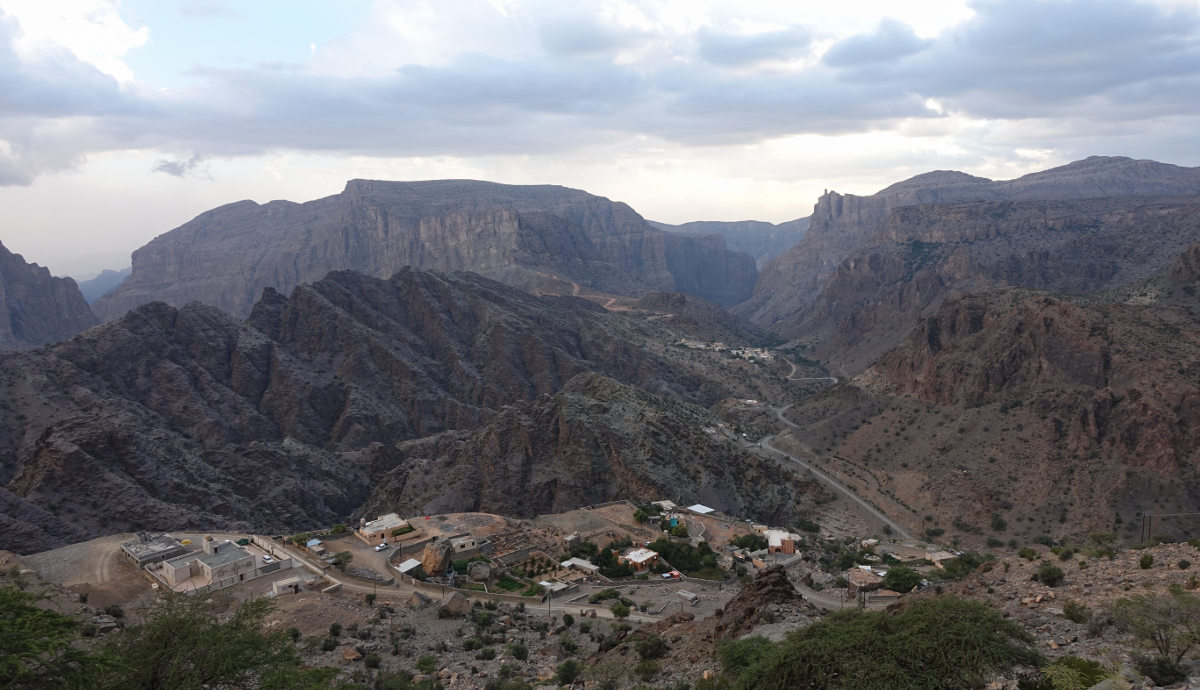
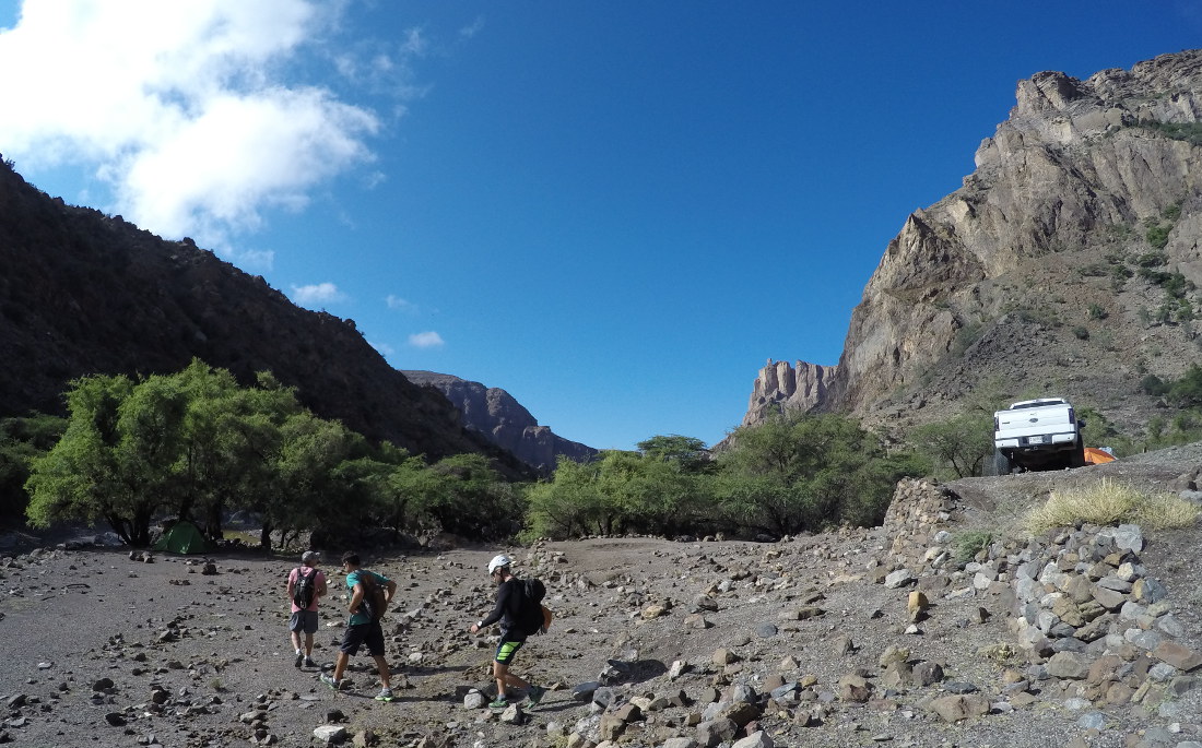
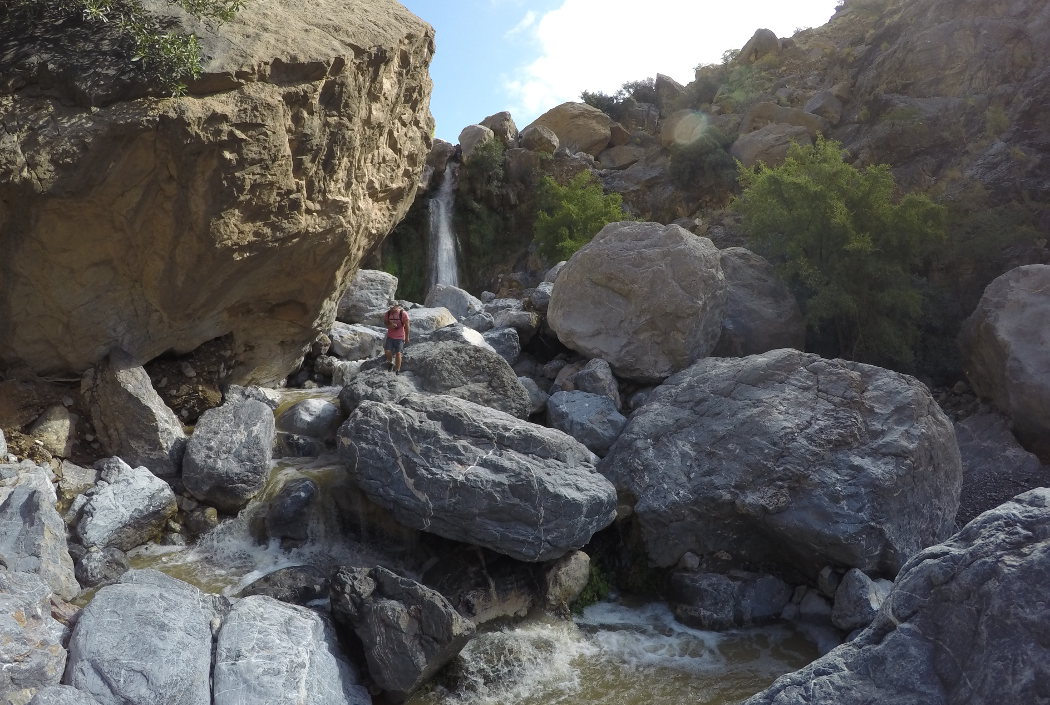
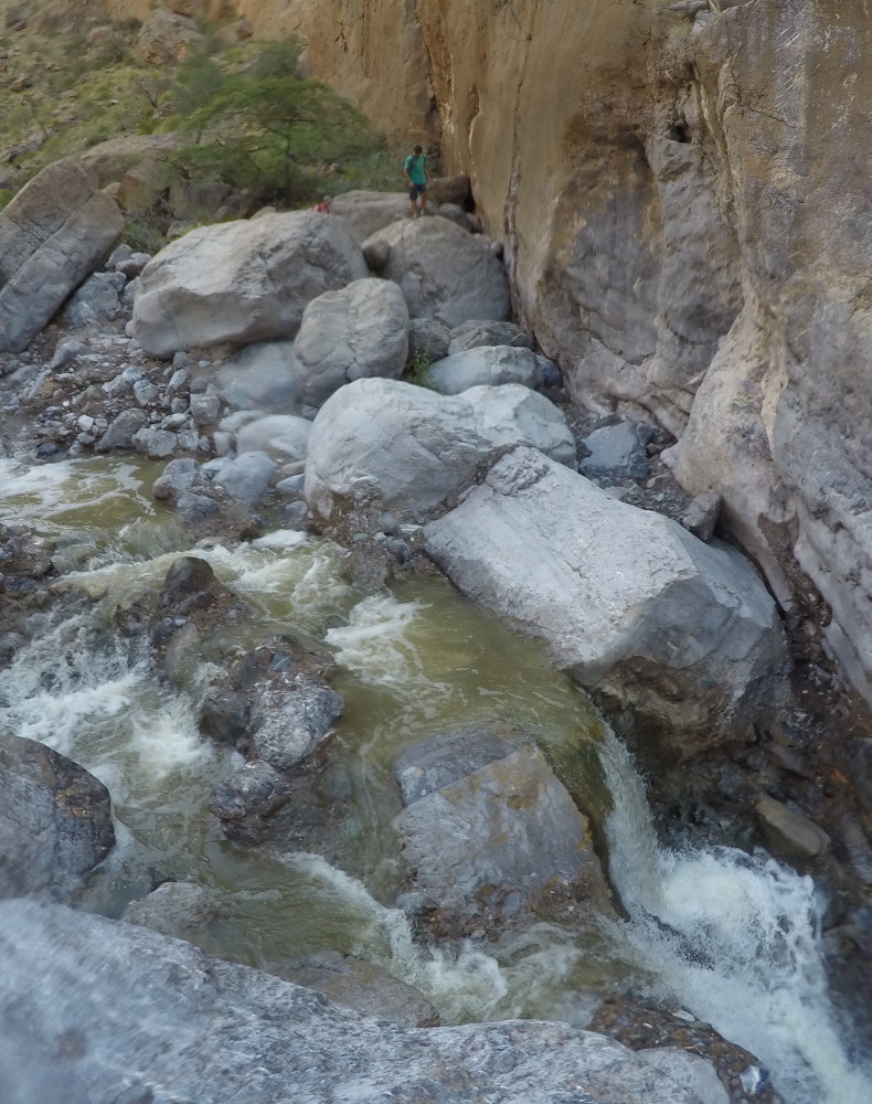
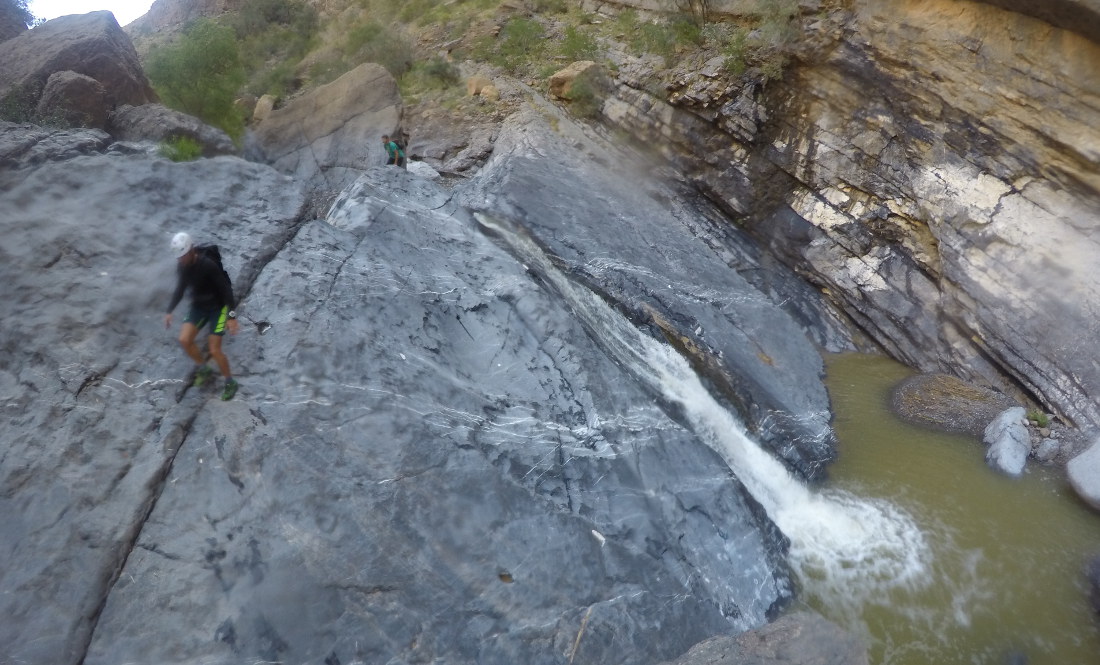
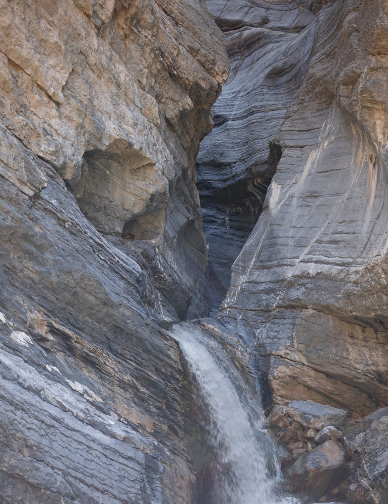
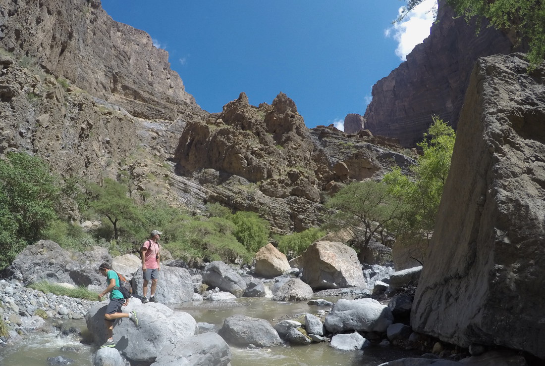
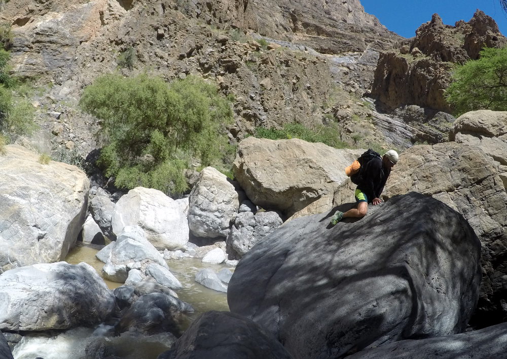
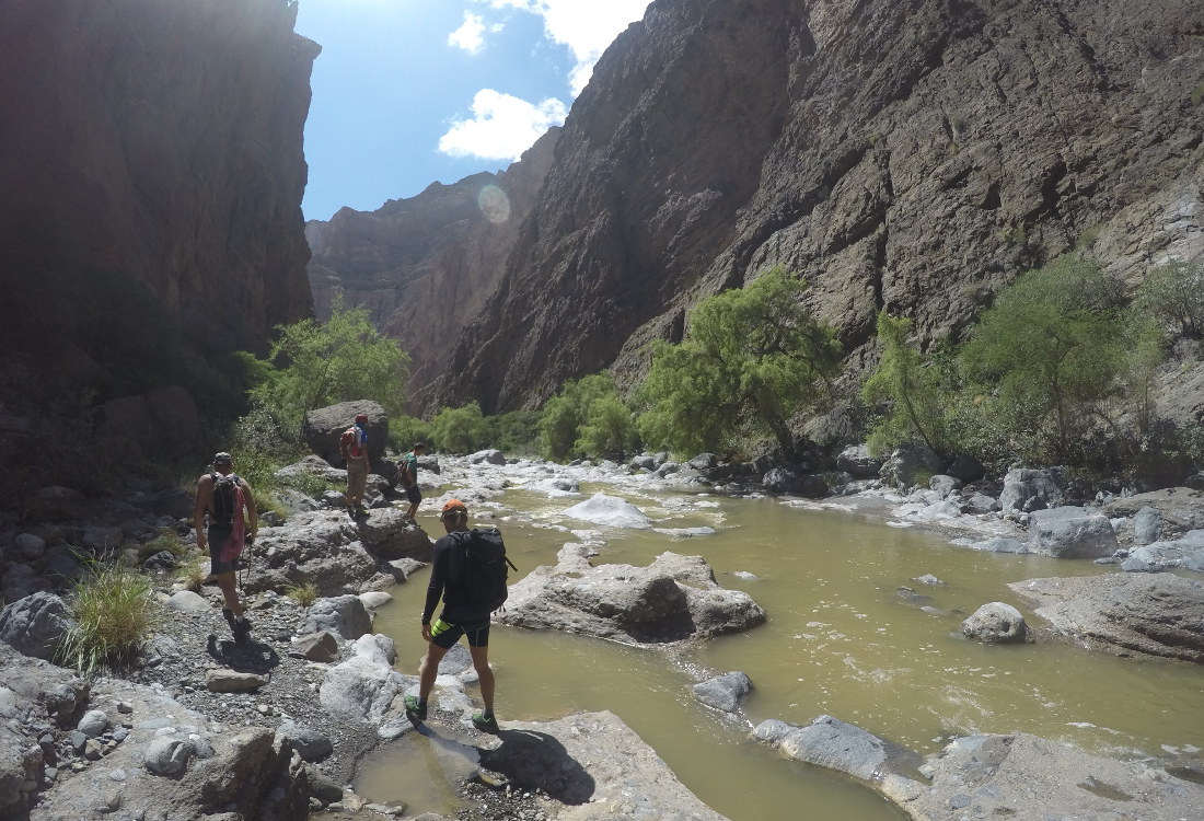
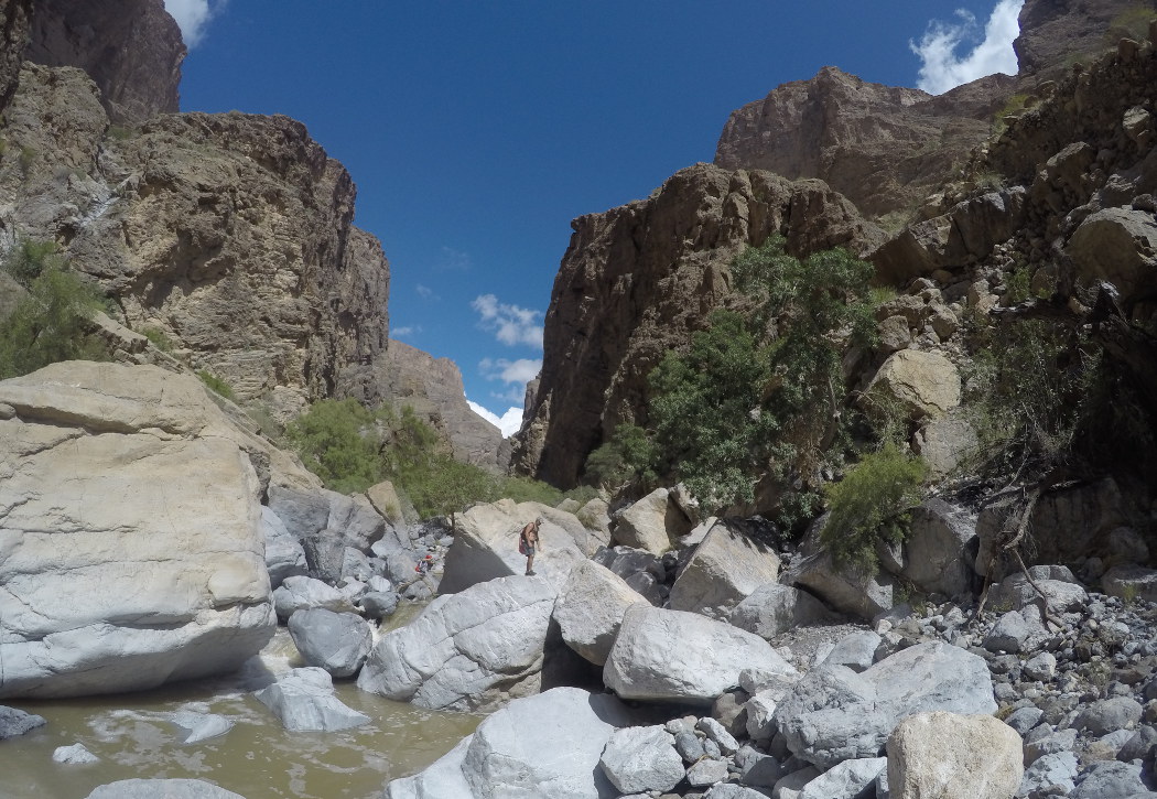
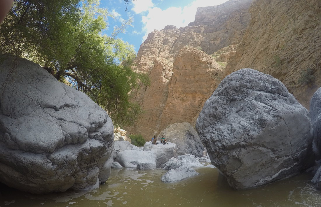
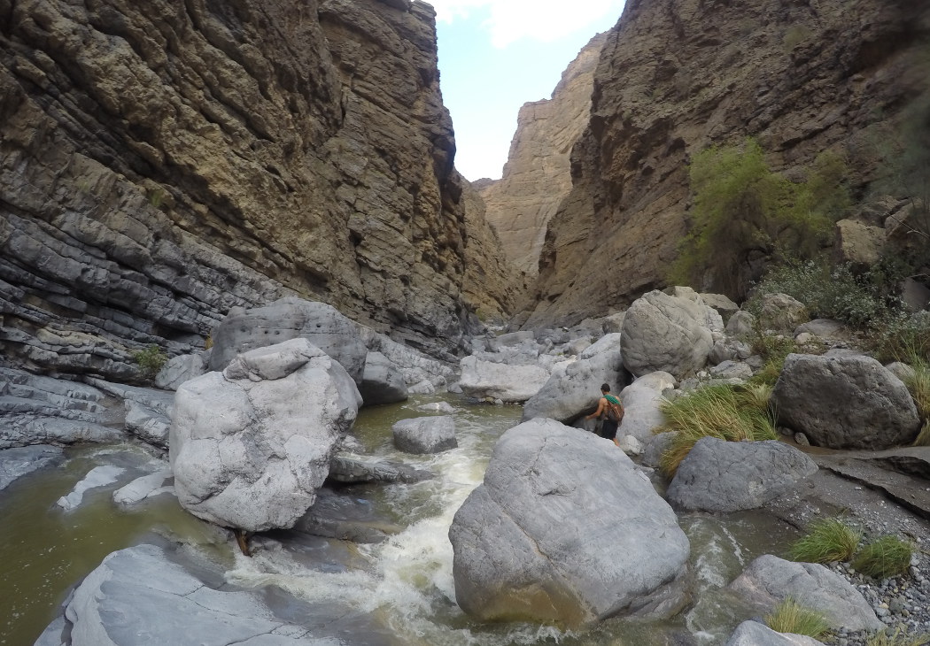
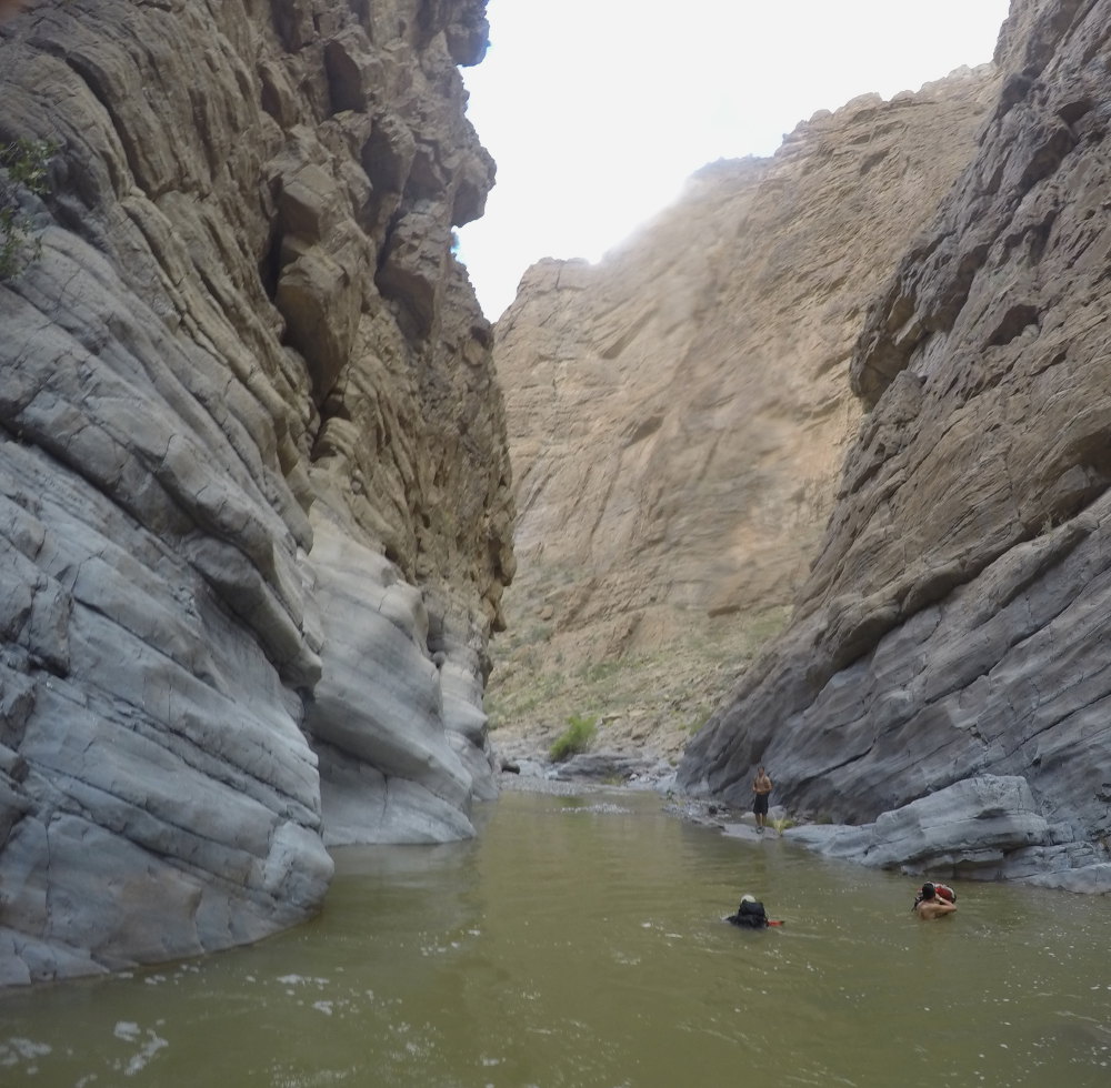
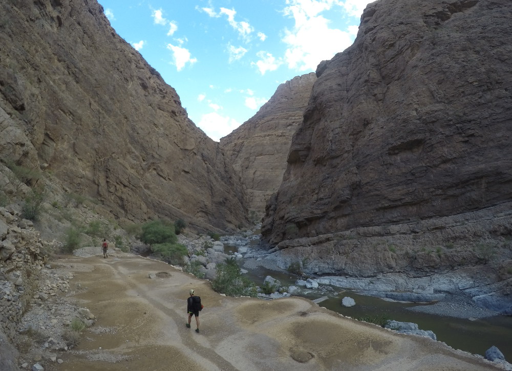
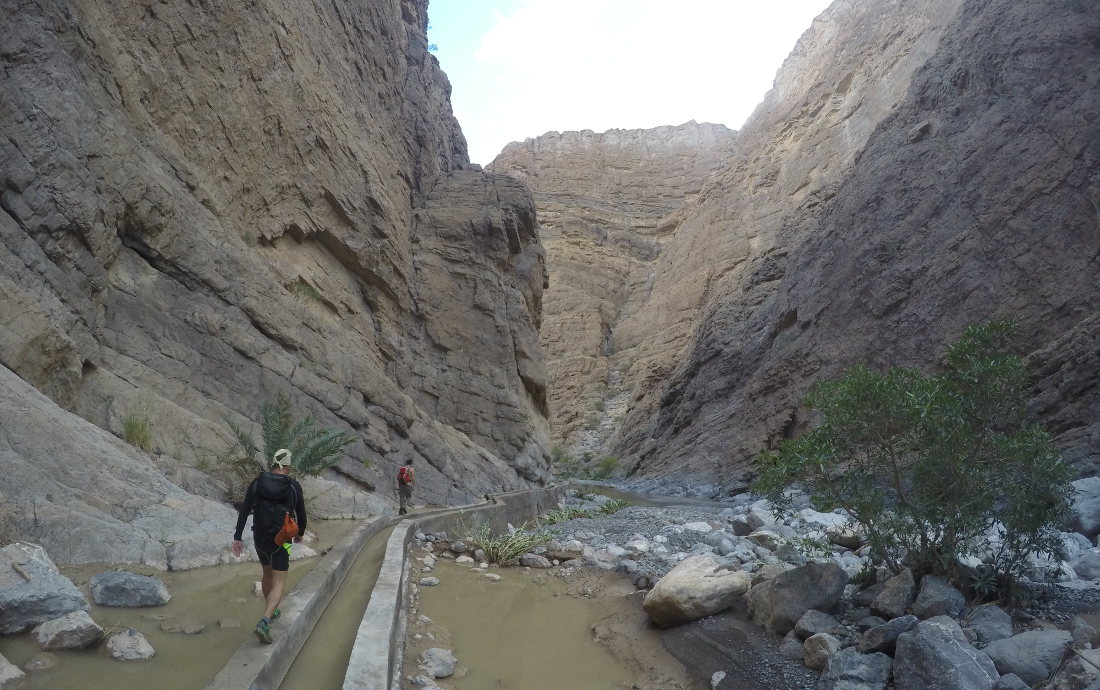
From the astonishing Sayq Plateau, which rises some 2000m above and a little to the east of Nizwa, we overlook magnificent canyons, including the wadi Saada, which make their way southwards, in an impressive setting. We had originally set out to descend wadi Qasheh, one of the 2 wadis that join wadi Tanuf, but the weather conditions made us change our minds, given the predicted length of the trip, the amount of rain that fell and the sudden flooding of the torrents. Instead, we discovered the wadi Saada, which was shorter (9 hours all the same!), more open and not as difficult as forecast. Indeed, this canyon is quite open and descends progressively in the form of a water hike today, in a monumental defile of wild cliffs. The route is long, very long, with plenty of chaos to negotiate, and if a few jumps, abseils or slides are missing along the way, the scenery remains stunningly beautiful.
❱❱ Technical summary
Type ✦ Water canyon
Location ✦ Saloot, Sayq Plateau
Region ✦ Jebel Akhdar, Western Hajar
Country ✦ Oman
Difficulty ✦ v1-a2-III
Max recall ✦ None
Duration ✦ 8h to 10h
Interest ✦ ★★
❱❱ Access to the place
From Birkat, climb towards Sayq. There's a checkpoint right there to access the Pharaonic road up to the Sayq plateau (driving license and 4×4 compulsory, we're not sure why as nothing is difficult and everything is asphalted). It's quite long, but when you reach Sayq, turn left in the village to descend into the large depression that leads to the village of Saloot, which you can see from above. Just before reaching the village, turn right into the bed of the Wadi Saada and at the end of the track you'll find a place to park car no. 2 (and terraces for camping if necessary).
The problem is to leave a car at the bottom of the canyon (if only one car, find a local to take you up from the bottom). From Nizwa, continue on the E15 to branch off towards Birkat Al Mawz and head towards Wadi Al Muaydin, Jebel Akhdar. Just after Birkat, turn left onto a long track and leave car no. 1 at the village (arrival point).
❱❱ Map & topo
❱❱ Itinéraire
Immediately, because we're already in the bed of the Wadi Saada.
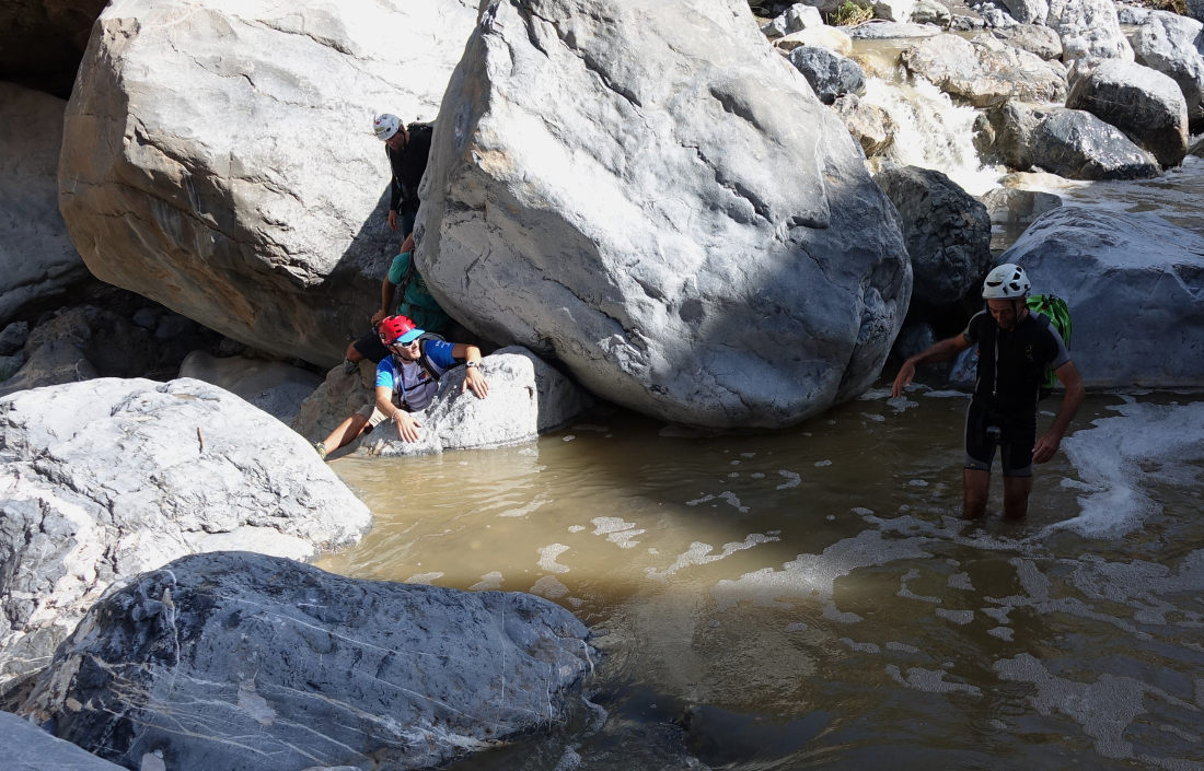
No abseiling to be done, but there are a few tricky chaotic climbs to negotiate, with some not-so-obvious de-escalations. The rest of the hike is aquatic or dry. However, there can be quite a lot of water, so bring a wetsuit depending on conditions.
Drive up to the starting point below the village of Saloot, in about 1h30.


Leave a Reply