


TOPO Canyoning | CLIMBING7.COM
Publié le
 Partager sur WhatsApp
 Partager sur Twitter
Partager sur Instagram
Partager sur Twitter
Partager sur Instagram

 Partager sur Facebook
 Imprimer le topo
 Laisser un commentaire

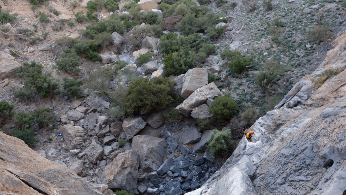
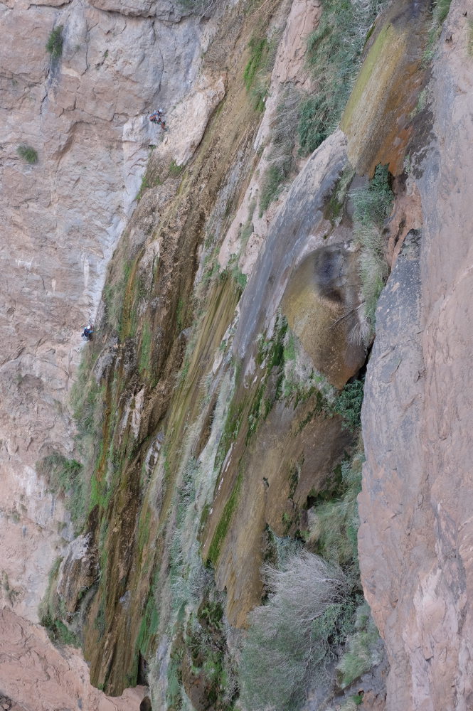
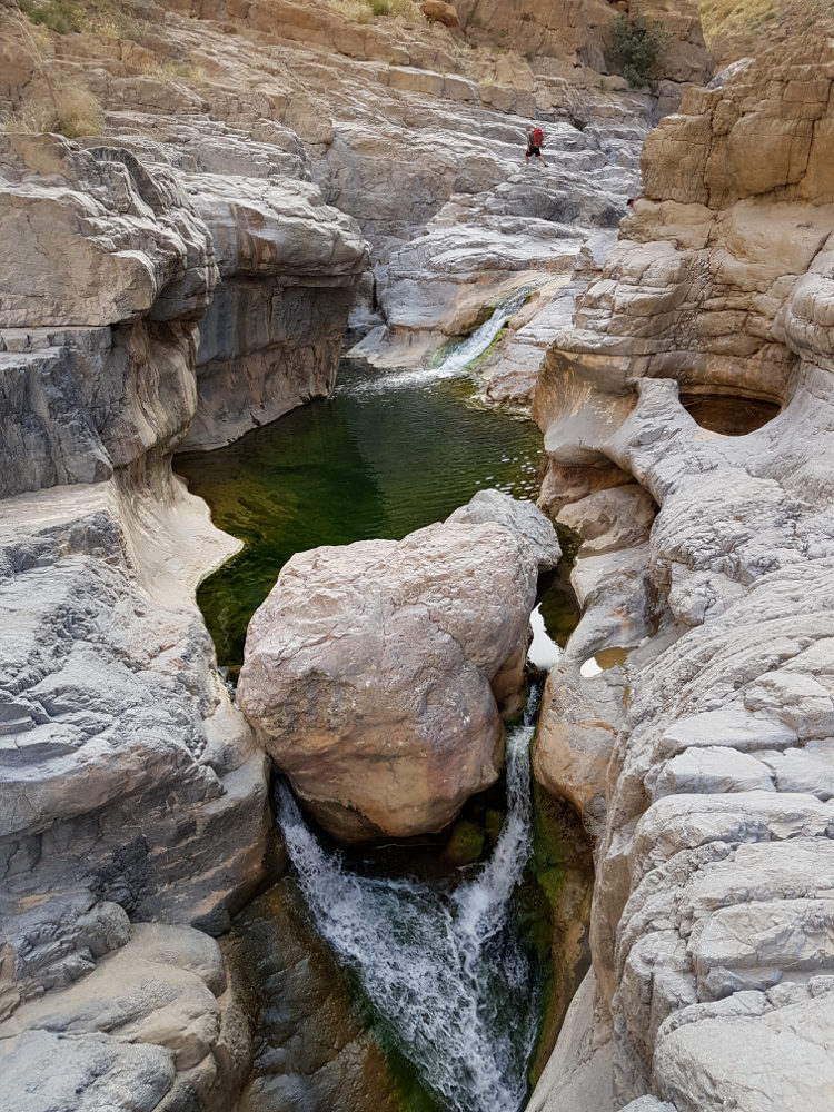
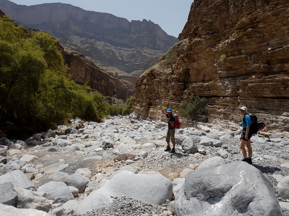
From large-scale canyon to adventure playground! From the small village of Aqabat El Biyout on the Sayq plateau, the fairly wide, open wadi winds its way down with a series of large waterfalls to reach the lower part of the El Hijri wadi, which is more steep-sided and watery. The final abseil to reach El Hijri is very impressive, with 120m of vertical waterfalls, even overhanging for the last 50 or 60 metres. Opened and equipped by Khaled Abdul Malak, we took advantage of our visit to complete the equipment, double most of the points and, above all, place an intermediate belay for the final 120m. The canyon remains difficult, long and very challenging, not to mention that the exit to the lower El Hijri is not at all easy. Taken by the night, we bivouacked at the foot of the great waterfall. Incredible atmosphere, under a glittering celestial vault and, fortunately, ideal temperature.
❱❱ Technical summary
Type ✦ Torrential canyon
Location ✦ Aqabat El Biyout, Sayq Plateau
Region ✦ Jebel Akhdar, Western Hajar
Country ✦ Oman
Difficulty ✦ v5-a2-V
Max abseiling ✦ 60m
Duration ✦ 12h to 14h (2 days)
Interest ✦ ★★★
❱❱ Access to the place
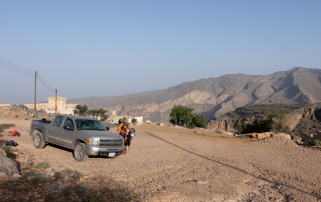
To get to the starting point at the village of Aqabat El Biyout, head back towards Nizwa and take route 23. Turn towards Birka AL Mouz and jebel Al Akhdar. There's a checkpoint (4×4 compulsory and driver's papers checked). Drive up and, just before Sayq, turn right towards Hotel Alila. Further on, take the track on the left before a building, then further down, leave the track on the left towards Sly Sahra to continue straight on for another 5 km and go back down to Aqabat. Park in the large central space. Allow 1h30 from Al Fara' to Aqabat El Biyout.
The junction between the start on the Plateau and the finish at the bottom of Tanuf, a little before the village of Al Fara', where wadi Hijri joins wadi Qasheh to form wadi Tanuf. To drop off the 1st car at the bottom, take the road from Bahla to Nizwa and turn towards Wadi Tanuf and climb up to the ruins. Immediately afterwards, turn left onto the track entering Wadi Tanuf. Go past the dam, then cross the wadi bed at the bottom to follow the relatively good gravel track to the obvious junction between the 2 wadis (currently it's the end of the track which has been broken up by the latest floods).
❱❱ Map & topo
❱❱ Itinéraire
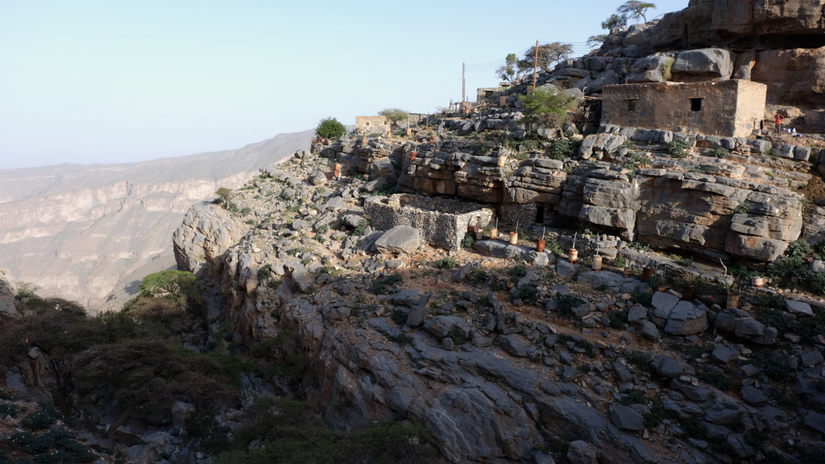
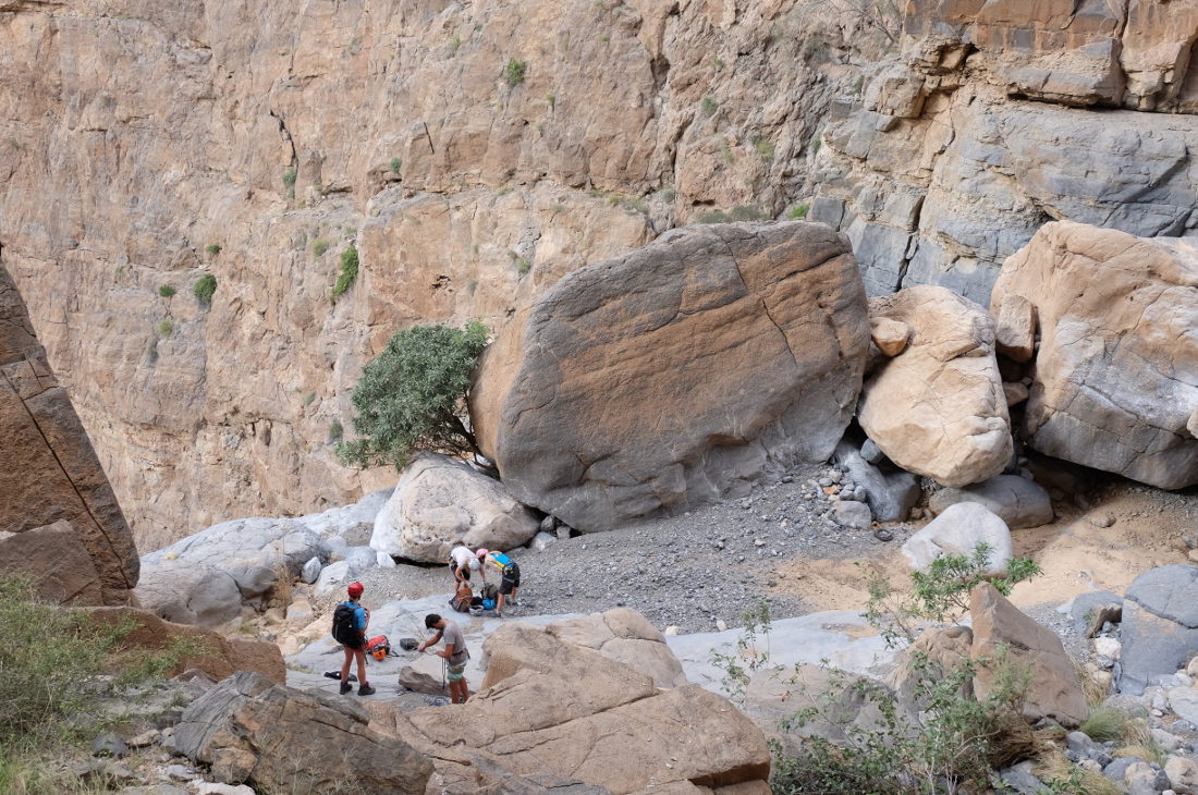
Go through the village to find a small wadi just behind it, surrounded by houses. Descend it to the left (west) and you'll soon reach the 1st abseil, almost inside the village. You can now see the entire route below you.
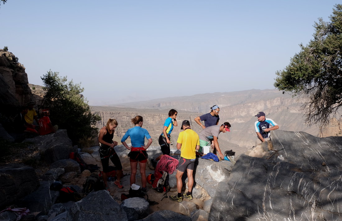
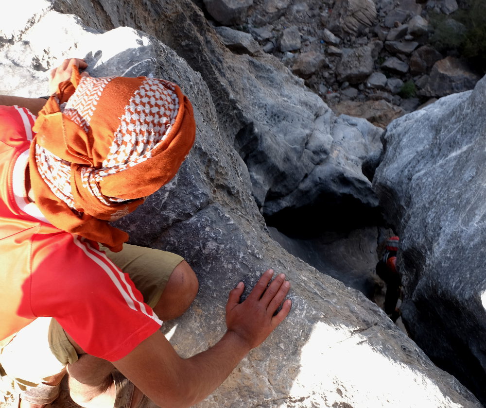
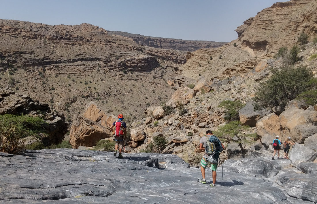
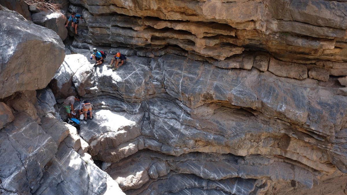
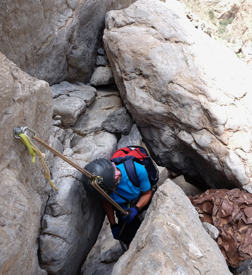
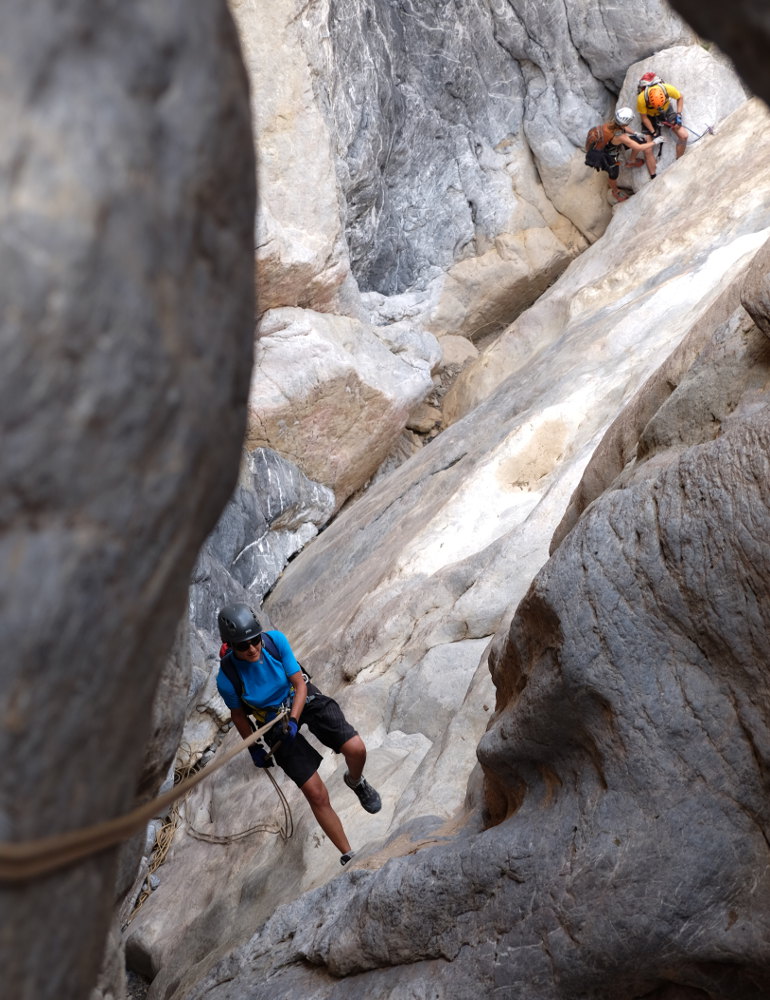
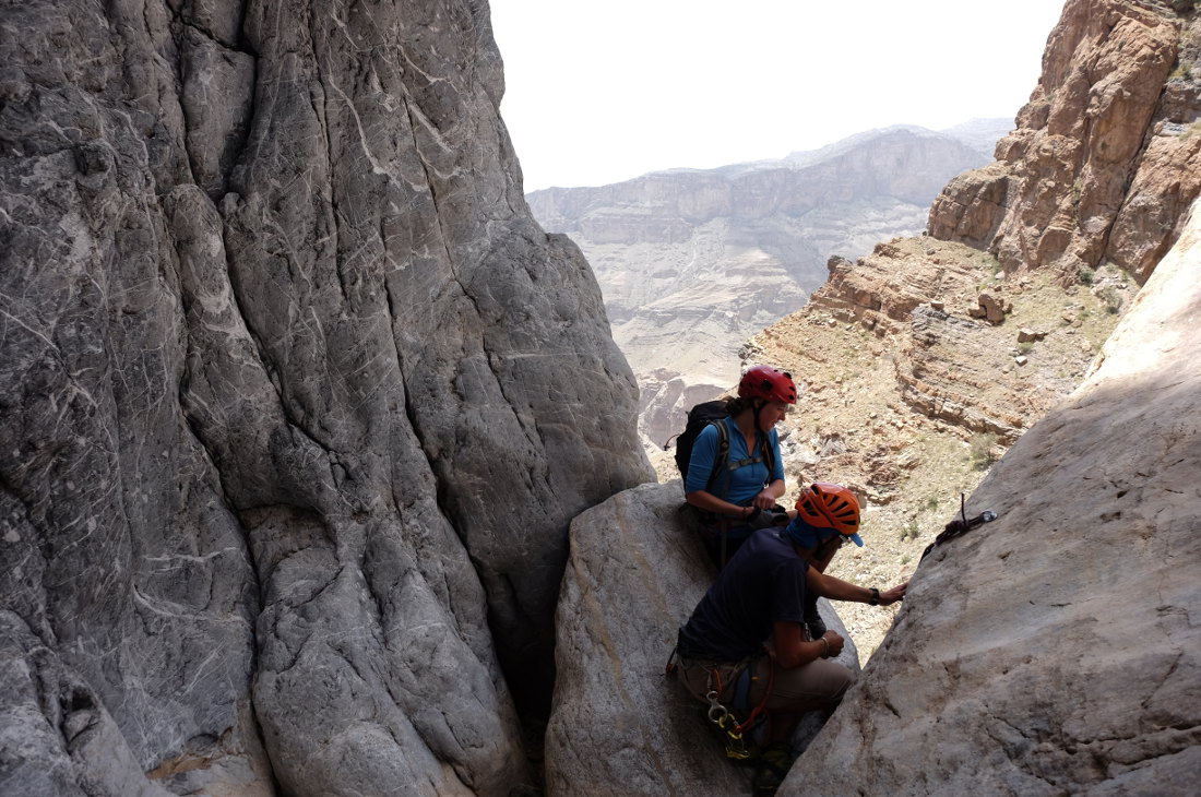
This is a fairly open canyon, with a few constrictions at the waterfalls or in the final section before the big waterfall. The itinerary is obvious: just follow the bed of the wadi, finding the best passages between the boulders. There are 11 abseils to be climbed, several of them 60m long. The equipment in place is good when it hasn't disappeared... so don't forget to bring your own rappelling gear.
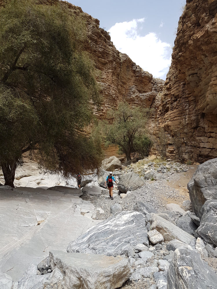
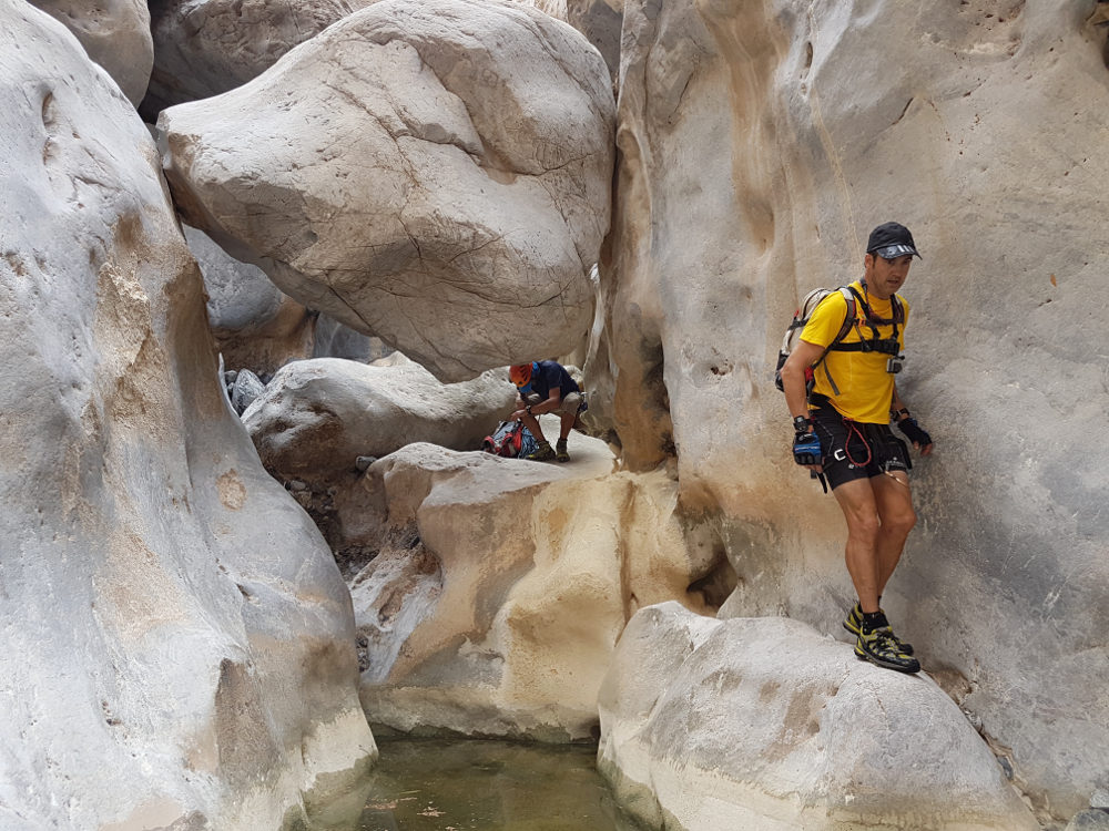
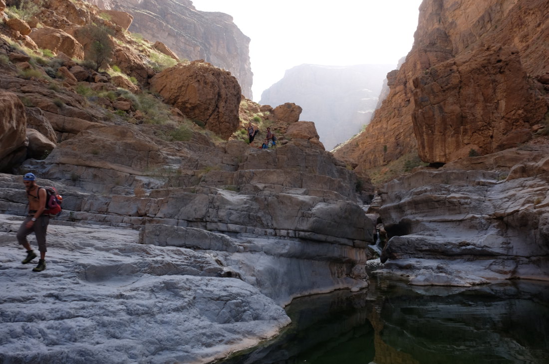
What a way back! Long, difficult in the aquatic section, but splendid. From the bottom of the big waterfall, head towards the El Hijri wadi, searching for the path through the boulders and small waterfalls. Then follow the wadi along the left bank until you reach the wadi bed. From here, you have to walk in the water, swim around new waterfalls, sometimes with major detours on the left or right. Not an easy route. Then, as the wadi curves back to the east, the water disappears and the final stretch is on flat ground, with less interest. Another 1h30 to 2h to reach the parking lot at the junction with wadi Qasheh.


Leave a Reply