


TOPO Hiking | CLIMBING7.COM
Publié le
 Partager sur WhatsApp
 Partager sur Twitter
Partager sur Instagram
Partager sur Twitter
Partager sur Instagram

 Partager sur Facebook
 Imprimer le topo
 Laisser un commentaire

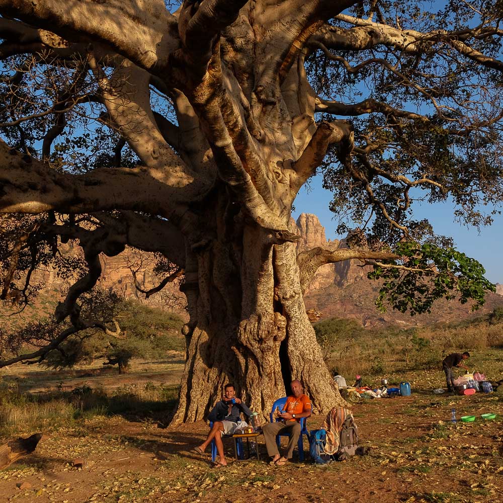
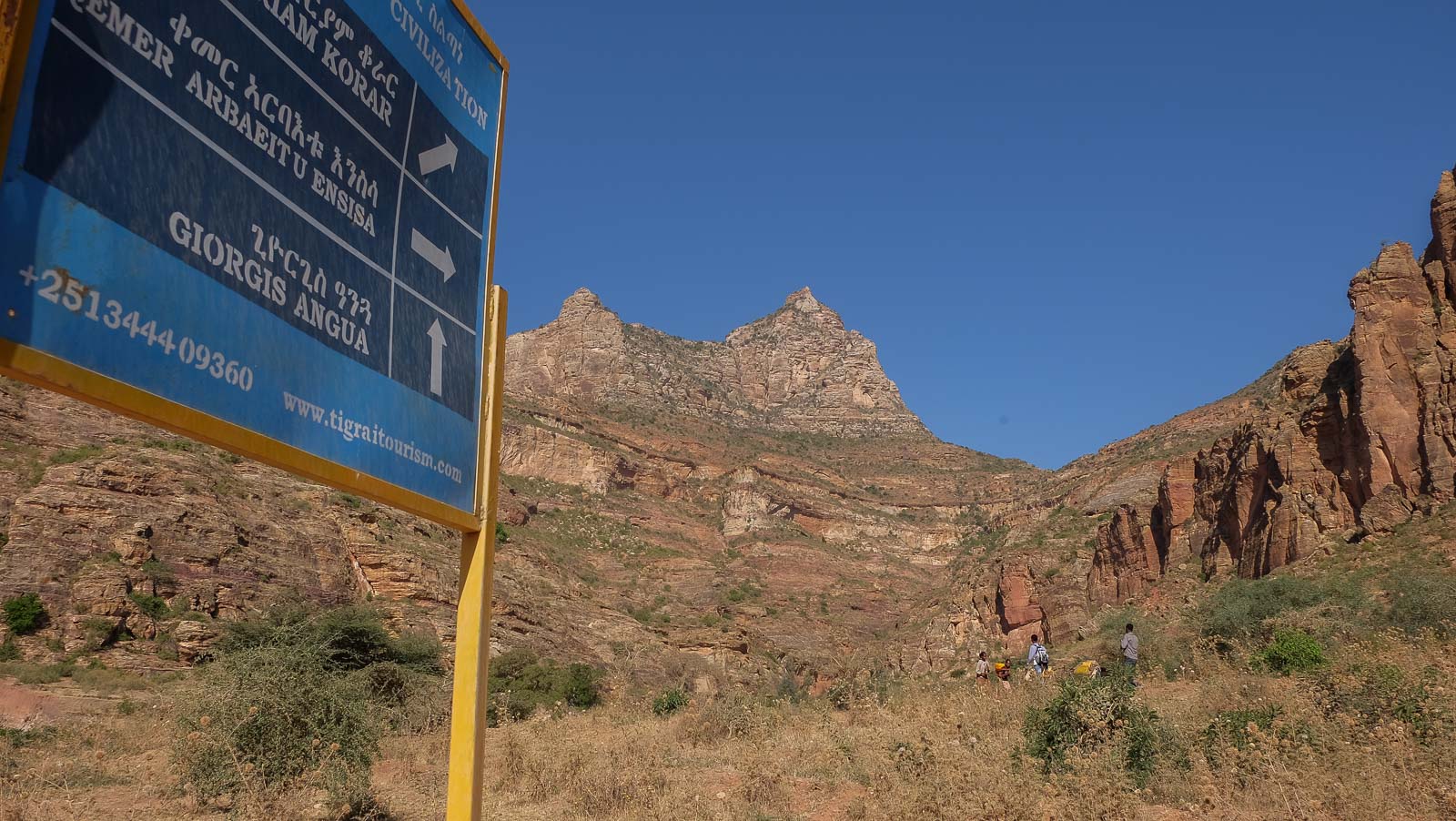
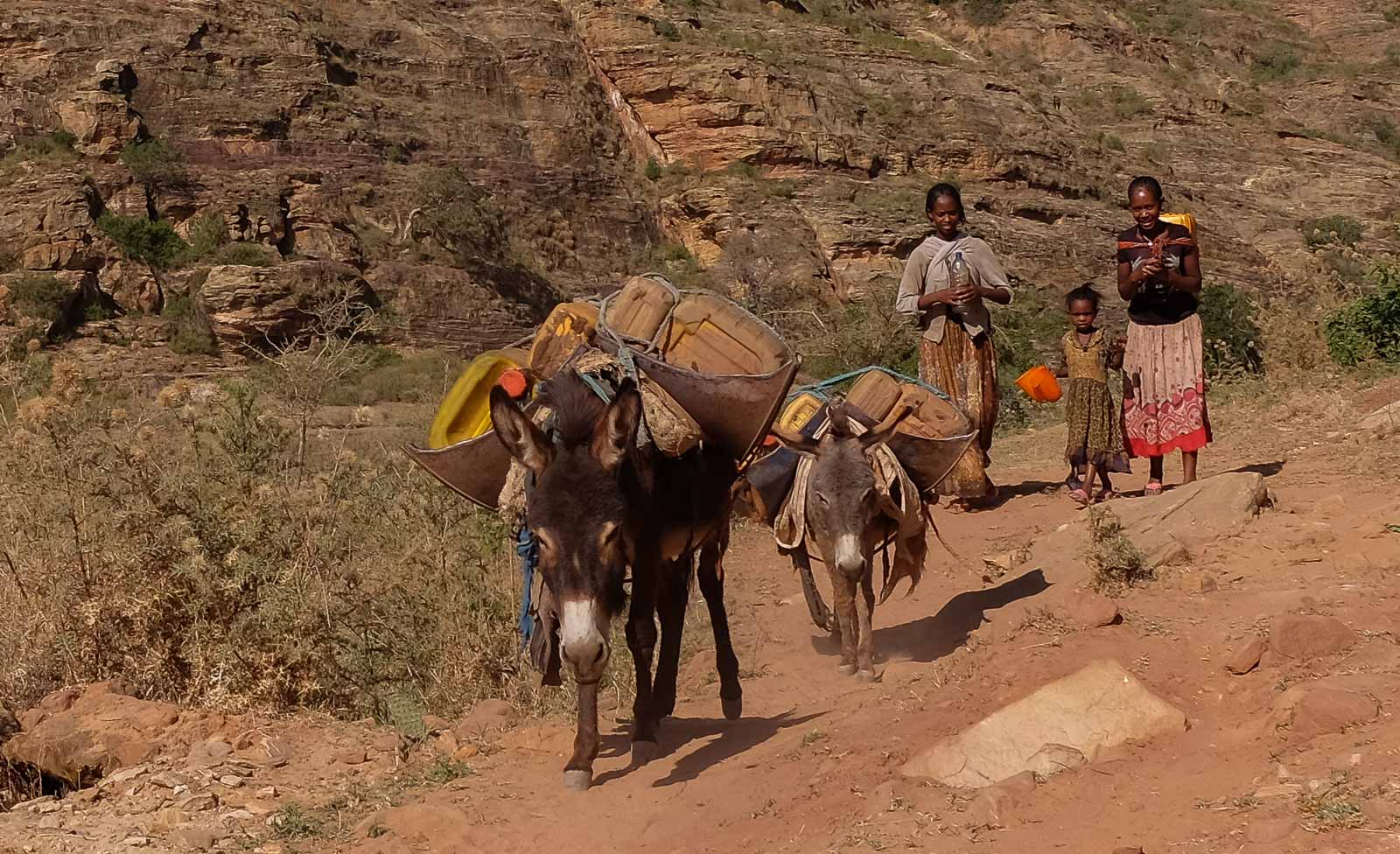
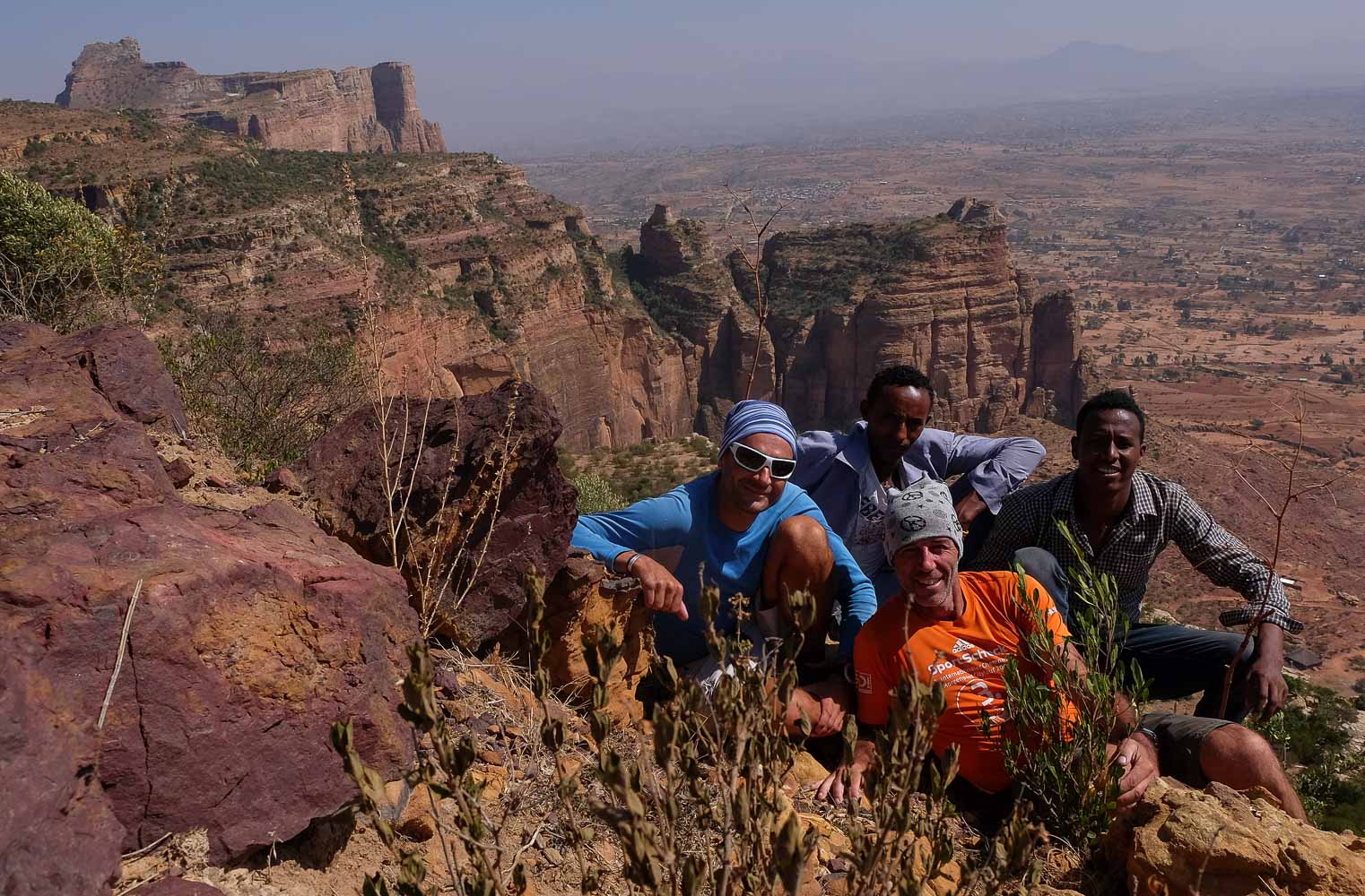
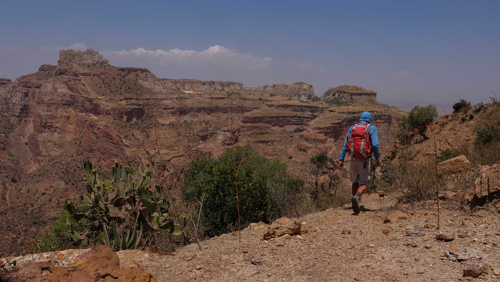
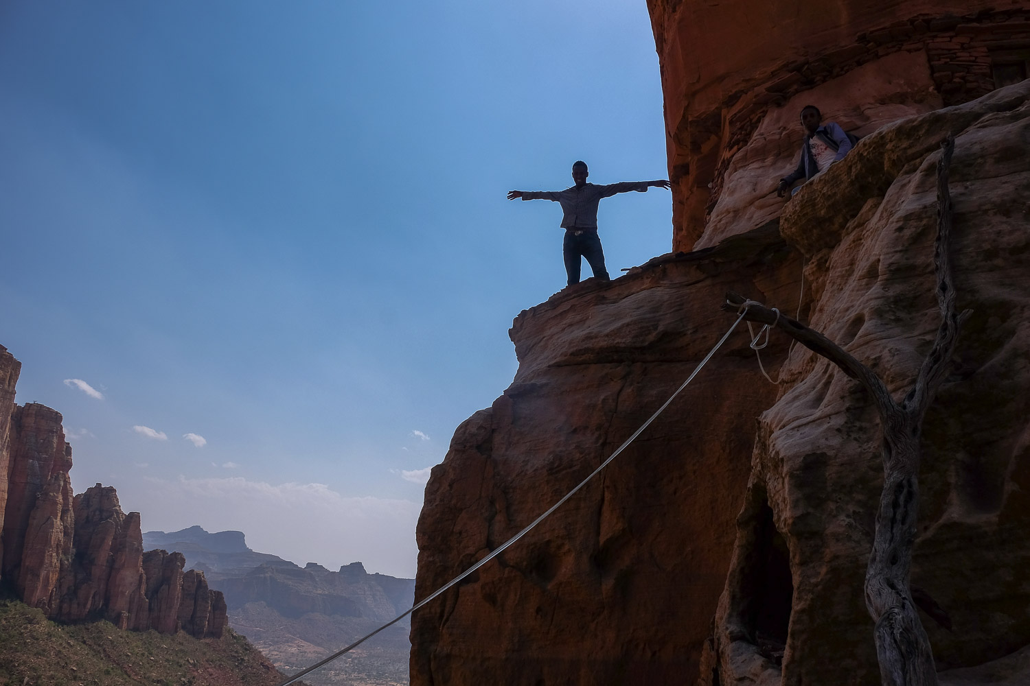
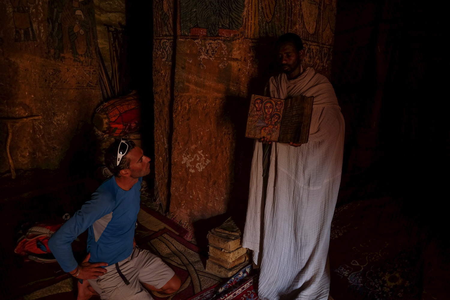
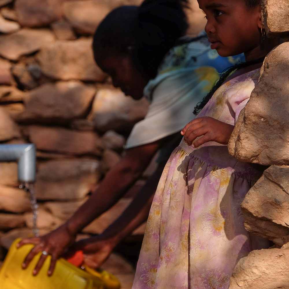
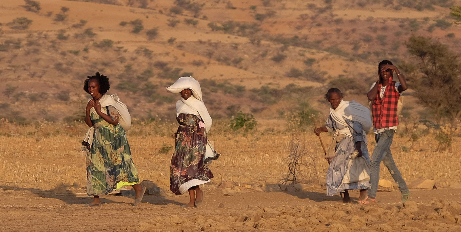
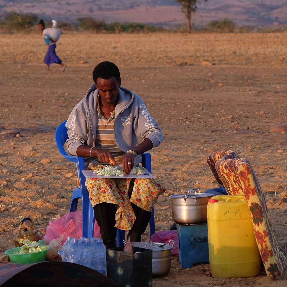
A big 2nd day of hiking with over 20kms on the clock! Leaving the camp, the route continues northwards to climb the Gheralta summit, Semer Mountain (2585m), which offers breathtaking views over the valley and overlooks the Mariam Korkor Mountains, our objective for day 3. After an impressive descent and a tricky bit of rock-climbing, we reach the base of Abouma Yemata, a long rocky ridge from which many needles emerge. It is here, perched on the cliffside, that you can visit the church of the same name, the most inaccessible, with a length of IV+/V climbing and access to a mini ledge on the edge of the void. More popular, it's where we meet the most people along the way, and a swarm of Ethiopians ready to help us figure out where to place our hands and feet, for a few dozen Birrs. The evening camp this time is in the valley, facing the cliffs and Mriam Korkor, close to the village of Megab. Magnificent views and sunset. Villagers returning to their respective hamlets stop to meet us. A good atmosphere, exchanges and smiles to end the day.
❱❱ Technical summary
Type ✦ Hiking
Location ✦ Megab
Region ✦ Gheralta
Country ✦ Ethiopia
Length ✦ 19,5kms
Elevation gain ✦ 1250m
Difficulty ✦ D / IV+
Max altitude ✦ 2595m
Duration ✦ 8h30 to 9h
Interest ✦ ★★★
❱❱ Access to the place
Harigwa camp can be reached by car from the road, but we're leaving from the bivouac. We're about halfway between Degoum and Megab.
❱❱ Map & topo
The routes for the 3-day trek: 1st day orange, 2nd day blue, 3rd day green.

❱❱ Itinéraire
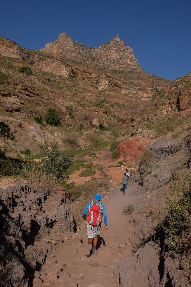
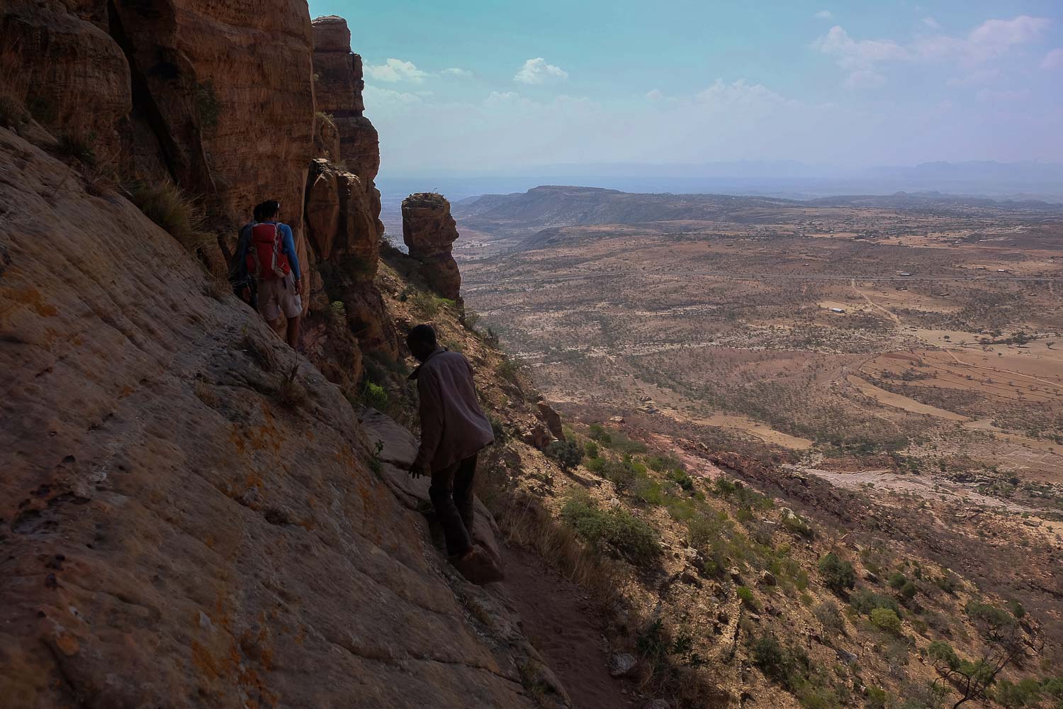
19.5 kms to cover for a cumulative vertical drop of 2290m and the summit at 2595m. If the route is longer than the day before, there are also more scrambling passages to negotiate, relatively exposed but without too much difficulty (IV/IV+ max). You'll need to bring plenty of water, but a refreshment station is available at the foot of Abouma Yemata.
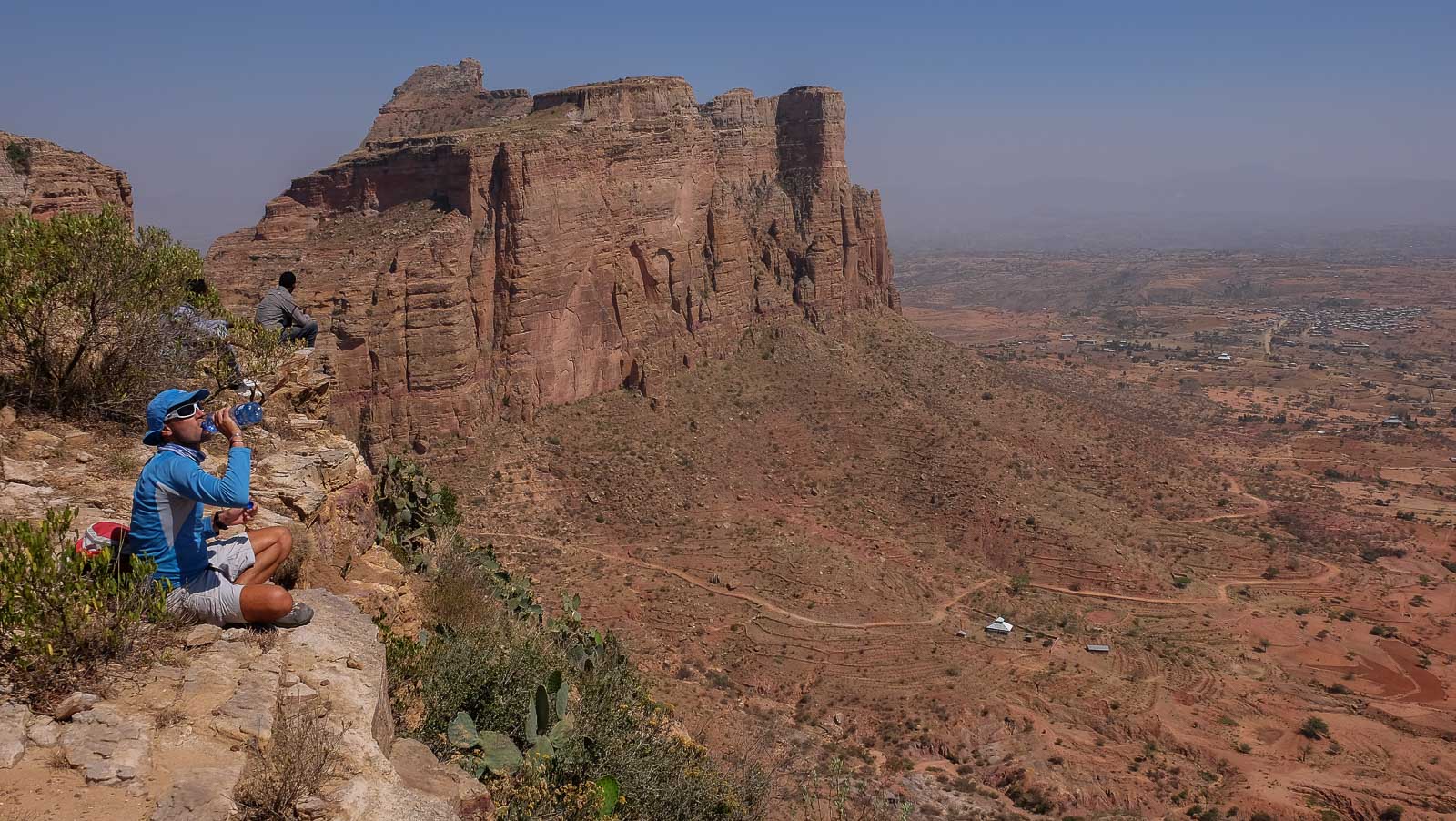
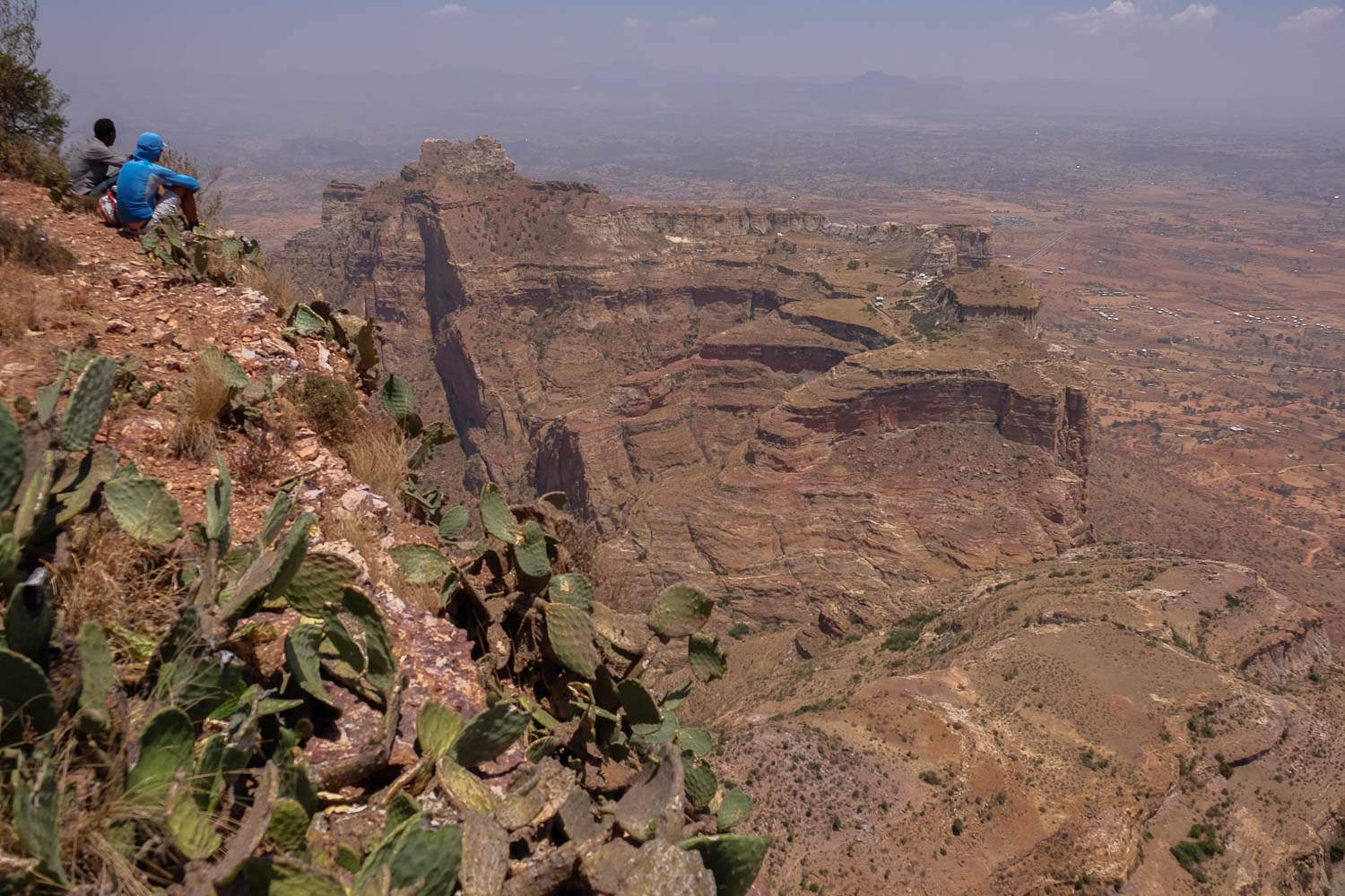
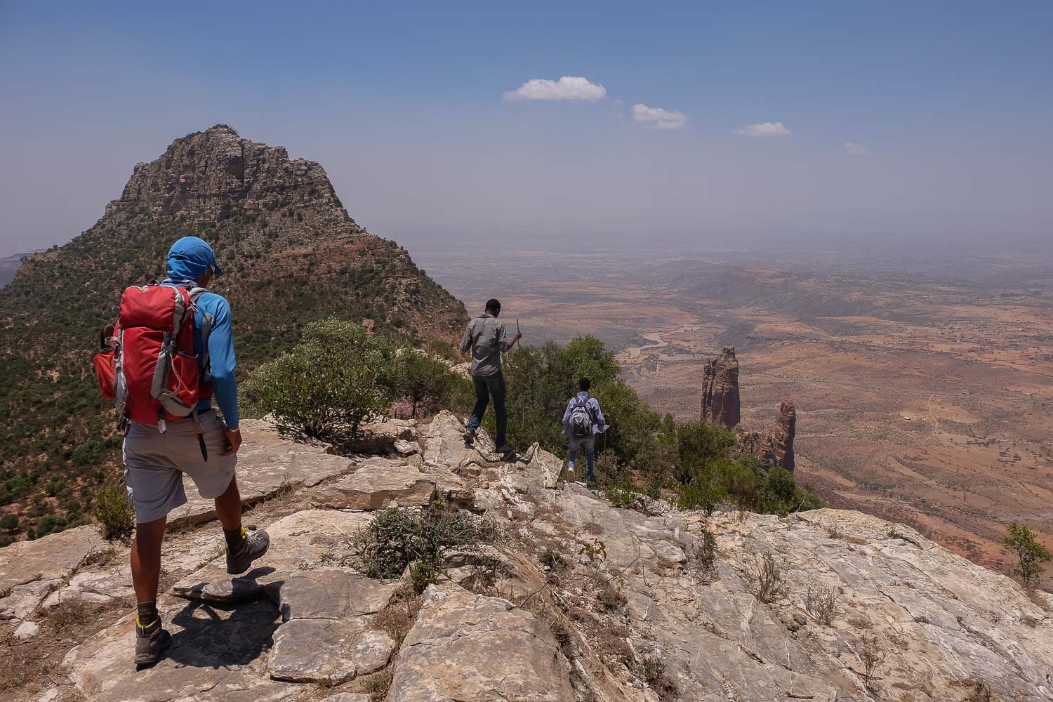
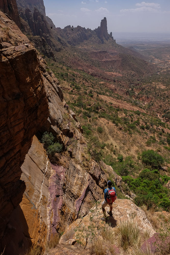
Reach the base of Goudele Mountain and pass through a fairly open col that gives access to the next valley. Then begins the ascent of the Semer Mountains, quite steep on a path that winds its way up a gorge before reaching the plateau of a 1st summit. A short detour to the south allows you to admire the panorama. Then a 2nd ascent, also quite steep, to finally reach the highest summit of the Gheralta. The view over Mariam Korkor is impressive. On the way up, a tiny church carved into a rocky outcrop offers a glimpse of the rest of the route, with the Abouma Yemata ridge below us: the uninhabited Church of the 4 Evangelists.
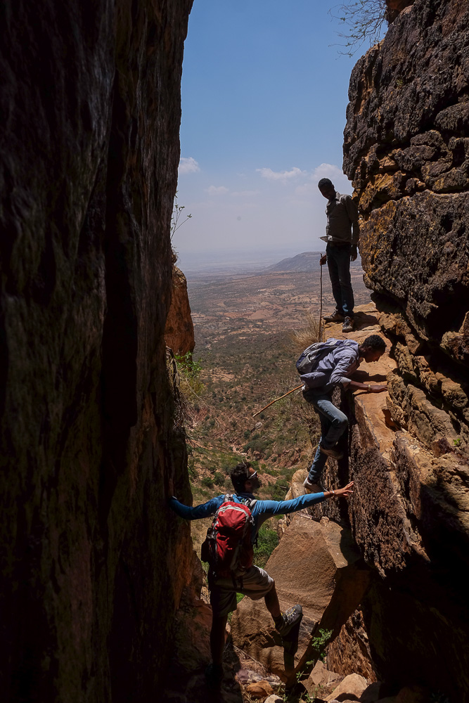
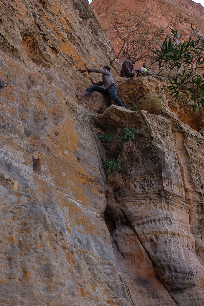
From the summit, we retrace our steps to the tiny Church of the 4 Evangelists, before forking further down to the right and north. The descent twists and turns through the forest, with almost constant views over the valley. The trail then heads back north to reach the western foot of Mariam Korkor and its descent path. A technical passage to negotiate, in well exposed IV+/V. Further on, a second, even more tricky passage, with 2 or 3 steps in V/V+ to climb a small chimney and reach the dry torrent bed. Once in the wadi bed, we head due north to the foot of Abouma Yemata.
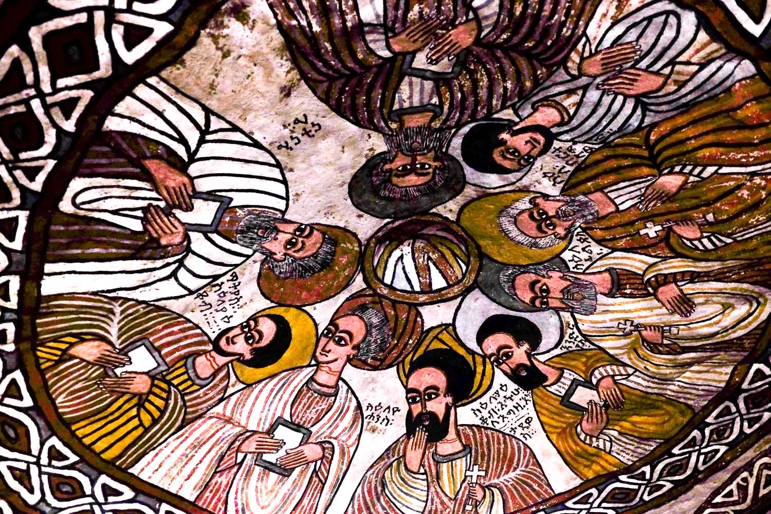
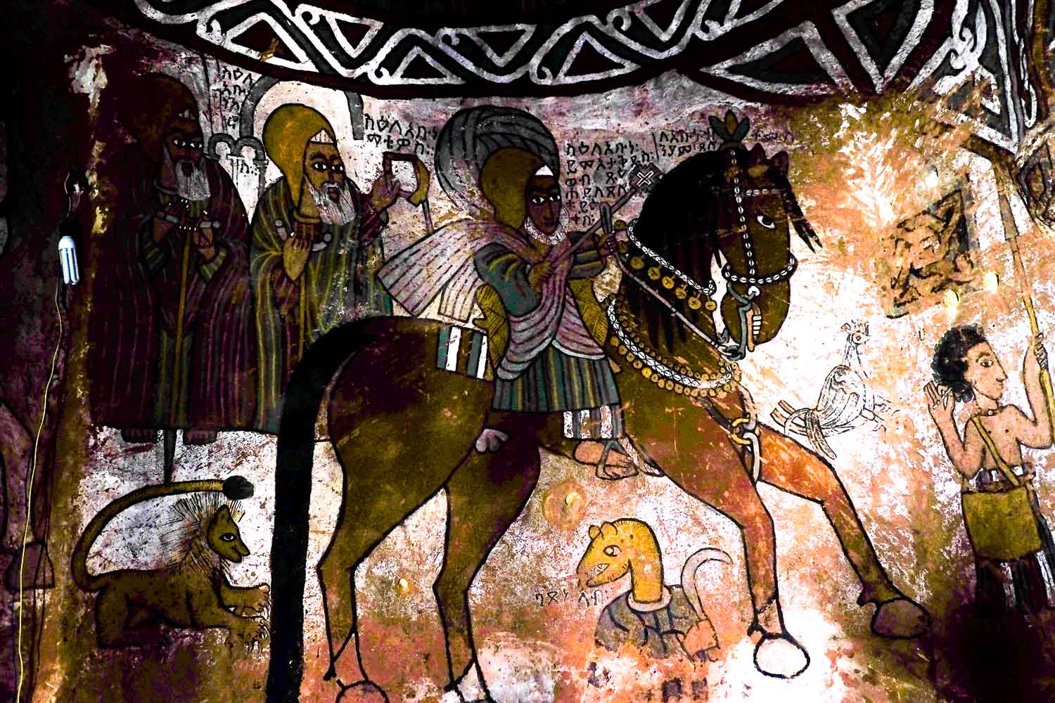
A short but steep ascent! The path winds up to the base of the cliffs. It's easy to climb the sandstone buttresses before the final climb. It's not difficult, but it's impressive because it's quite vertical and exposed, involving a twenty-meter climb in IV+/V. There are some nice holds carved into the rock, however, making progress easier. At the top, we rejoin the edge of the ridge. Access to the church is via a small 1m-wide ledge on the edge of the void. The church is small, but the paintings are impressive.
The descent is made in exactly the opposite direction, before heading east across the field, then the Hausien road and finding our camp for the day, in the middle of nowhere. Magnificent panoramic view of the entire eastern wall of the Gheralta. Our objective for the next day, Mariam Korkor, is right in front of us.


Leave a Reply