


TOPO Hiking | CLIMBING7.COM
Publié le
 Partager sur WhatsApp
 Partager sur Twitter
Partager sur Instagram
Partager sur Twitter
Partager sur Instagram

 Partager sur Facebook
 Imprimer le topo
 Laisser un commentaire

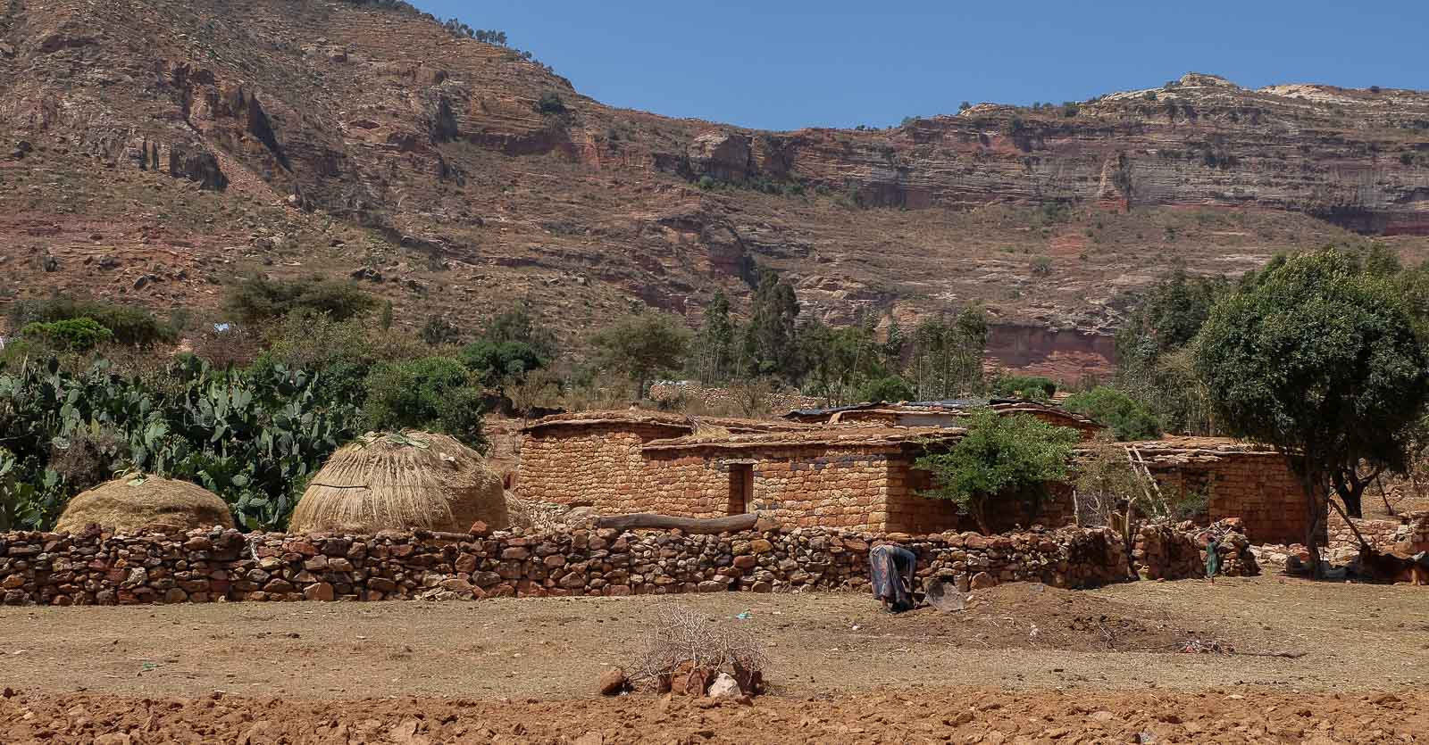
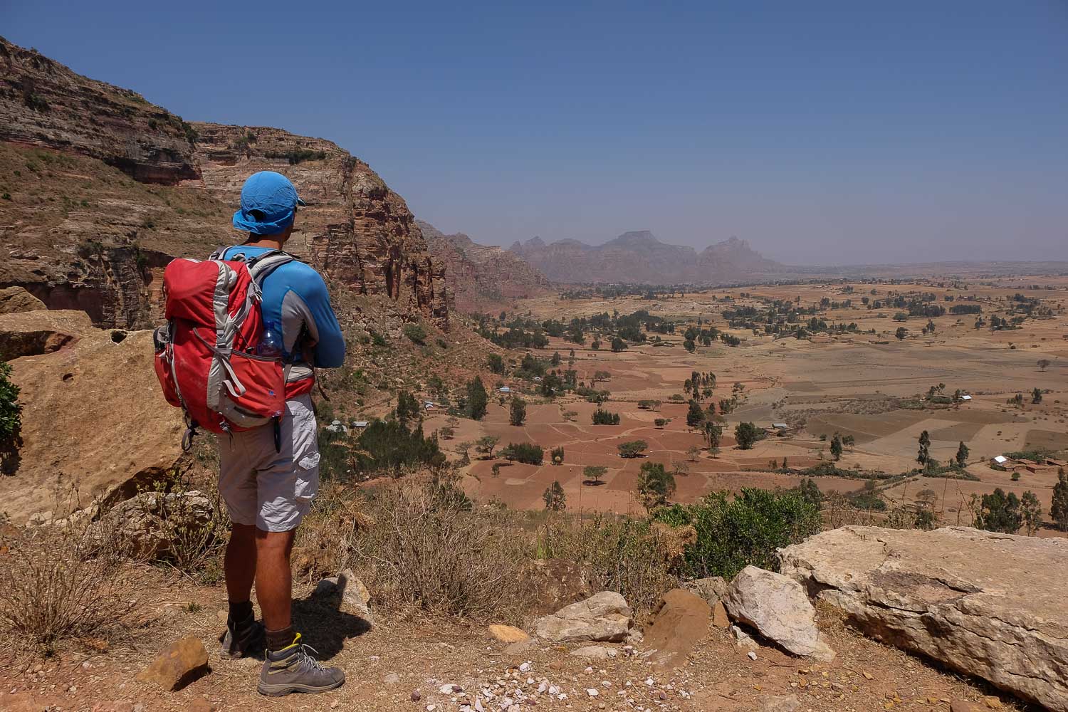
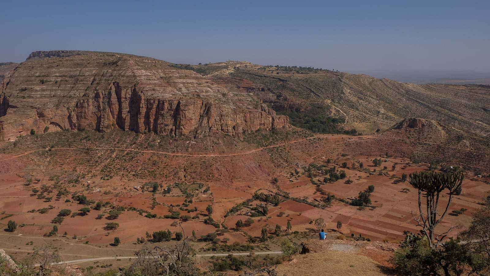
On the high plateaus of northern Ethiopia, between Mekele and Aksum, the Gheralta massif is home to numerous rock churches carved out of sandstone since the 4th century. This is the perfect opportunity to set off on a 3-day trek from Degoum, covering the peaks and valleys from south to north, and discovering the most inaccessible churches, perched on cliff faces, sometimes literally on the edge of hundreds of meters of emptiness, their incredible architecture in the heart of the rock, the paintings right on the rock and the priests and monks who have lived there, sometimes for decades. This 1st day includes 2 ascents to over 2300m for a total walking distance of almost 15kms in splendid scenery, and encounters with the villagers of the surrounding settlements. Spectacular bivouac under the protection of a huge tree in the middle of an African plain, from which it's easy to imagine that giraffe, zebu and other now extinct felines could once be found.
❱❱ Technical summary
Type ✦ Hiking
Location ✦ Megab
Region ✦ Gheralta
Country ✦ Ethiopia
Length ✦ 15kms
Dénivelé ✦ 1500m
Difficulty ✦ MD
Max altitude ✦ +2300m
Duration ✦ 6h to 7h
Interest ✦ ★★★
❱❱ Access to the place
From Mekele, take the road north towards Wukro and once past the village, turn left towards Degoum, Magab, Hausien. The road is in poor condition, sometimes a track, and progress is slow. When you reach the 1st cliffs of the Gheralta on the left, and before the village of Degoum, park your car or have someone drop you off to start the trek across the fields. As this is an itinerant trek, it's best to drop off your vehicle at the bivouac on the 1st evening.
❱❱ Map & topo
The 3-day routes: 1st day orange, 2nd day blue, 3rd day green.

❱❱ Itinéraire
Even if it can be organized on your own, it's much more comfortable to hire an official local guide from Megab, who will take care of everything: transport, food, tents and water for the 3 days. What's more, access to the churches requires notifying the priests, who sometimes live down in the village, and authorizations and access permits must be requested (and paid for) in order to visit. We set off with Gebre (pronounced Guébré), Megab's young, efficient and friendly official guide (Tel +251 9 14 53 98 45 - gebre.wmariam@gmail.com). All prices and conditions of the trek must be clearly negotiated beforehand! (approx. $70 per day per person).
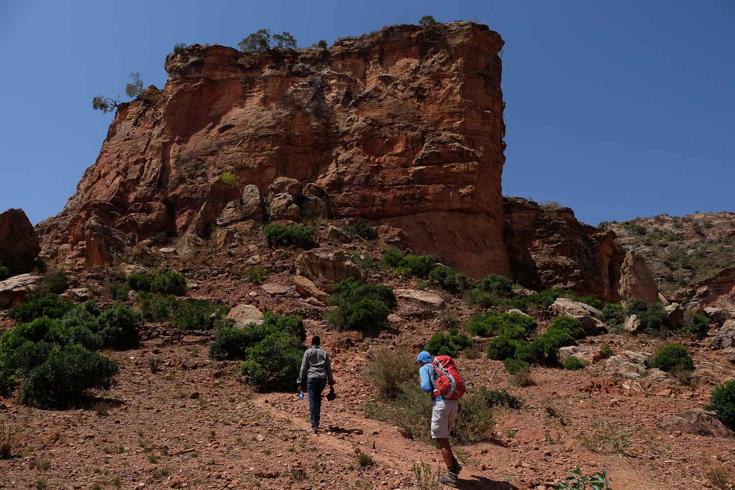
1500m of ascent with 2 climbs to over 2300m, a distance of almost 15km on the ground make this a fairly physical day's trek, but without any real difficulty, except for a small passage to de-escalate on the way down between the 2 mountains. Bring plenty of water, as refuelling is complicated.
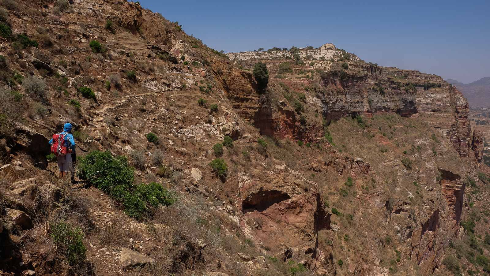
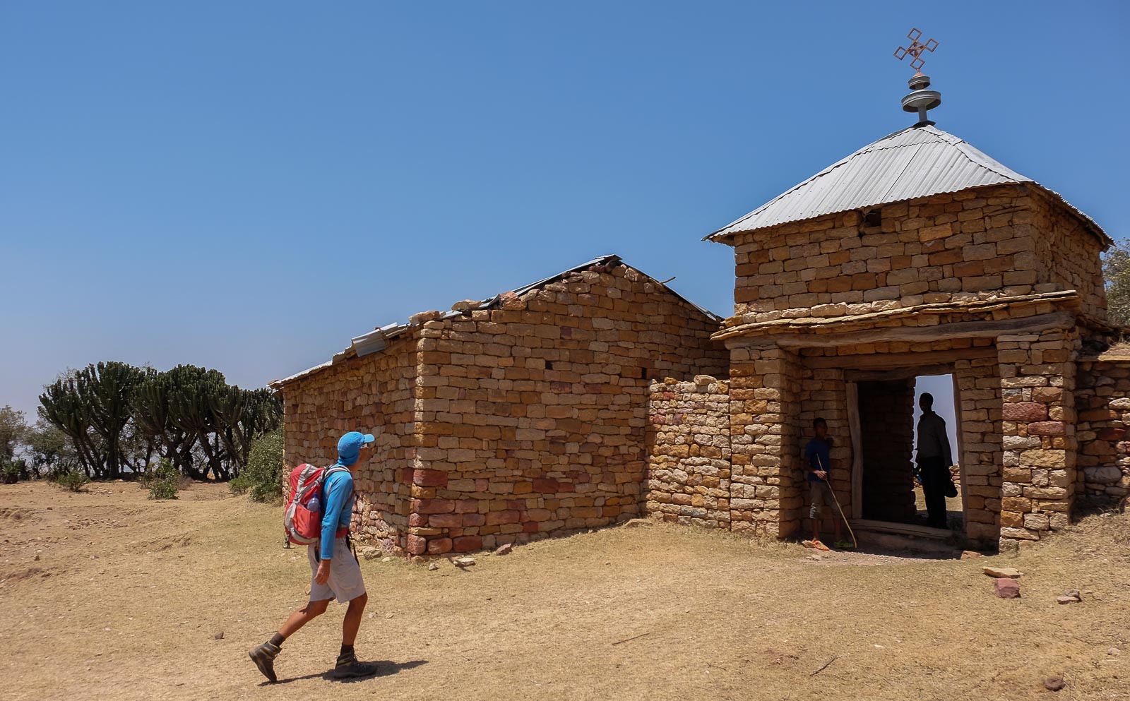
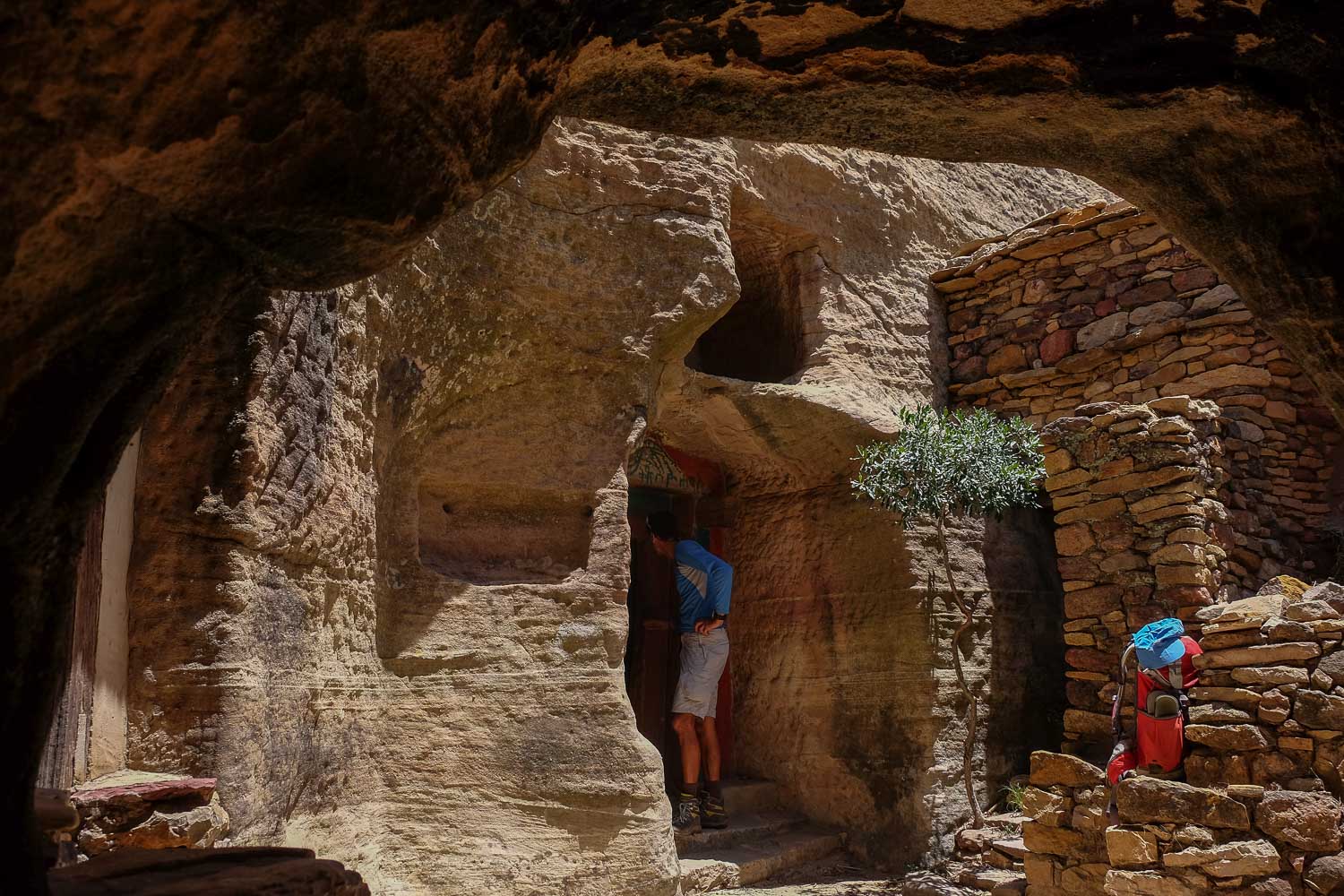
After passing through fields and villages towards the mountain, the path climbs steeply in small switchbacks to reach the summit on the left. The small church is dug into the bottom of a small white sandstone corridor. Beautiful paintings.
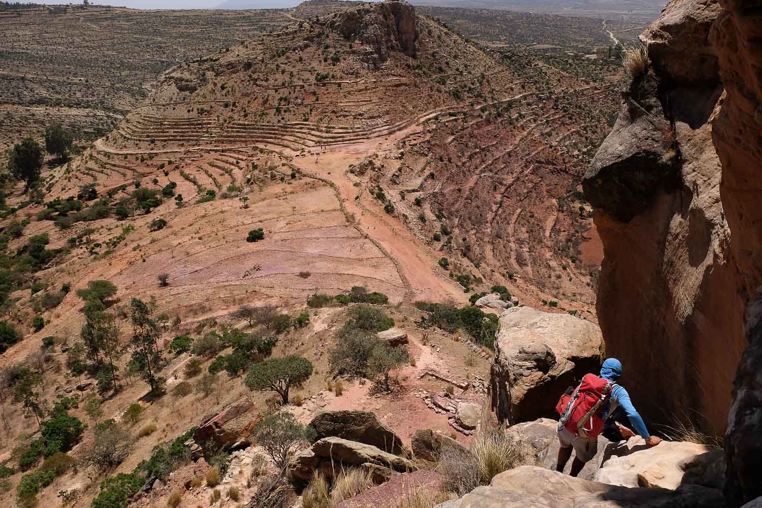
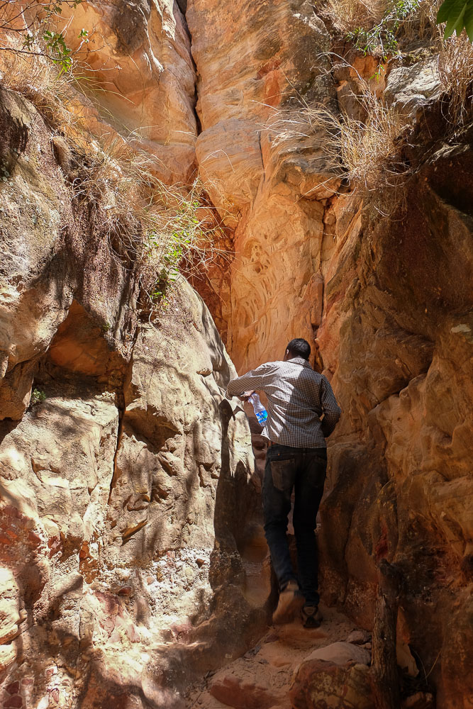
Pass the church of Johannes Maeqdi, staying on the ridge before finding a passage down the sandstone cliffs. To reach the bottom of the valley, there's a short passage through a hole that can be descented without too much difficulty. We then cross the wide valley to reach the base of the next mountain, Debré Tsion. Access from the west to find a well-marked path that climbs steeply to the summit. There are several passages right through the sandstone, with small steps dug out to facilitate progress.
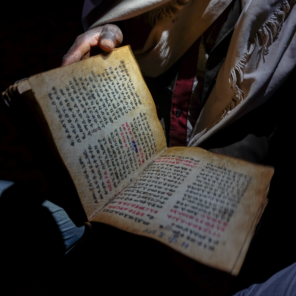
At the top, you reach the edge of the cliff on the east side. Here stands Abouna Abraham, more imposing than the previous one. Around the church, inside the rock, a circular corridor leads to a tiny carved prayer room. Along the way, you'll also come across a few holes where the bones of monks who died here lie.
From the church, take the path in the opposite direction down from the summit, before forking right into a new, narrower valley. A few passages have to be descent-climbed, a little exposed but not too difficult (IV+). Then begins a long walk up between the 2 mountains to the east, before rounding and continuing north. We pass between houses and cultivated fields. Finally, we reach a wide, green plain, which we cross to the camp, under a huge tree with gargantuan branches!


Leave a Reply