


TOPO Hiking | CLIMBING7.COM
Publié le
 Partager sur WhatsApp
 Partager sur Twitter
Partager sur Instagram
Partager sur Twitter
Partager sur Instagram

 Partager sur Facebook
 Imprimer le topo
 Laisser un commentaire

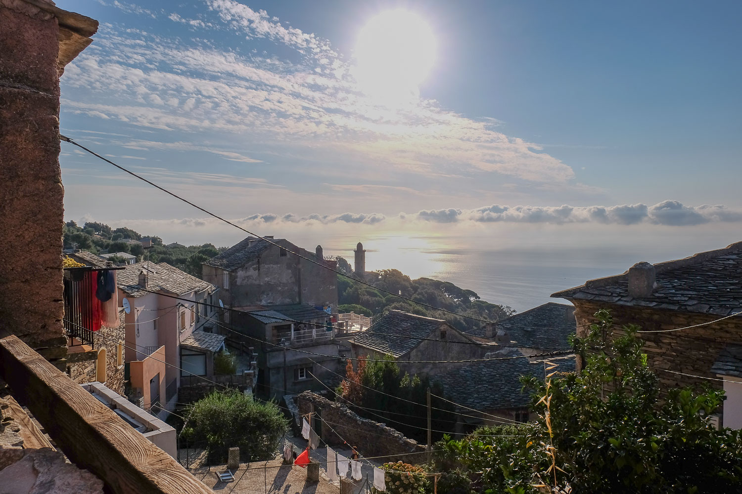
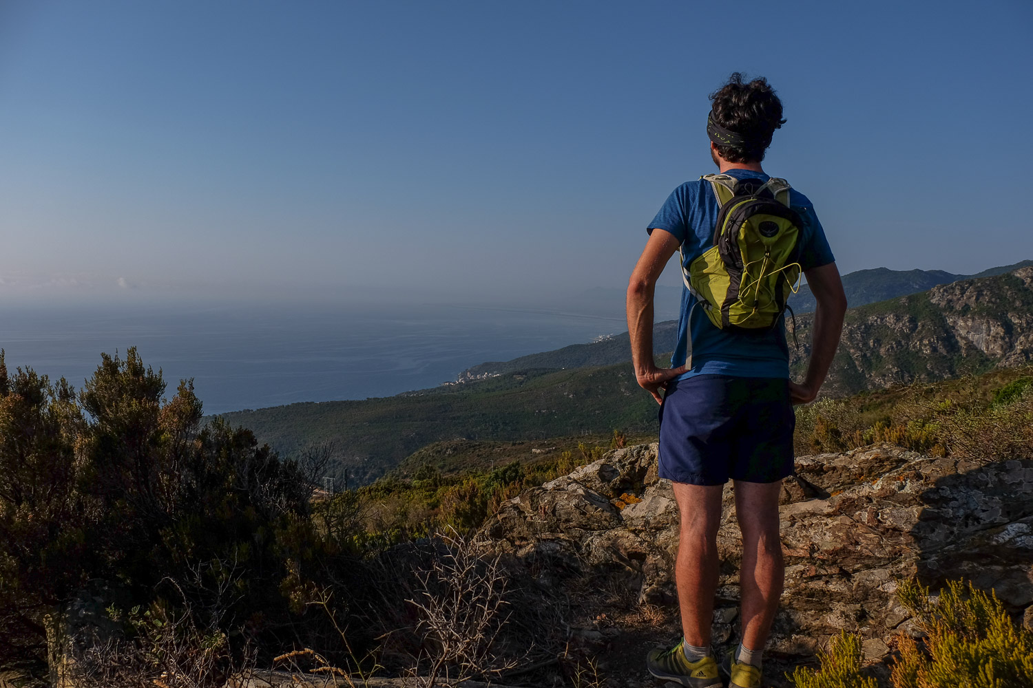
The start of our trip to Corsica. Monte Stellu, a small summit to dominate Cap Corse and stretch your legs before tackling Monte Cinto, Monte Rotondo and Paglia Orba. A short, easy and well-marked ascent to the summit, where you can admire the beautiful views to the east and west, with Elba on the horizon. The return via the ridge to complete the loop is less straightforward, especially in the final section where the cairns get lost in the undergrowth. You'll find your way back without too much difficulty, at sight, with a panoramic view all the way.
❱❱ Technical summary
Type ✦ Hiking
Location ✦ Pozzo
Region ✦ Cap Corse
Country ✦ France
Elevation gain ✦ 1100m
Difficulty ✦ MD
Max altitude ✦ 1307m
Duration ✦ 4h to 5h
Interest ✦ ★
❱❱ Access to the place
From Bastia, take the coastal road up to Cap Corse. Just before Erbalunga, turn left towards Mausoleo and Silgaggia. Before reaching Silgaggia, turn towards Pozzo and in the village, at the church, turn right to go up and find a parking lot further up on the right.
❱❱ Map & topo
❱❱ Itinéraire
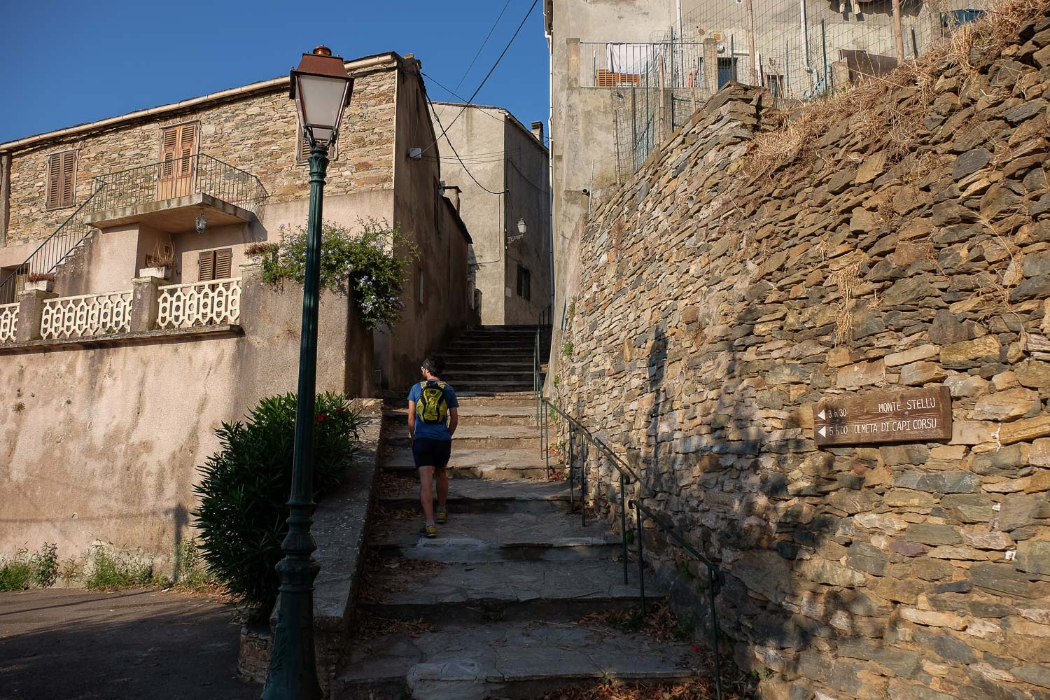
Go through the village to find signs pointing to Monte Stellu. At the exit, after passing through the houses, you'll find the ascent path.
More than 1100m ascent (279m - 1307m) on a path marked orange then red to the summit. No technical difficulties other than the slightly more hazardous descent via the ridge.
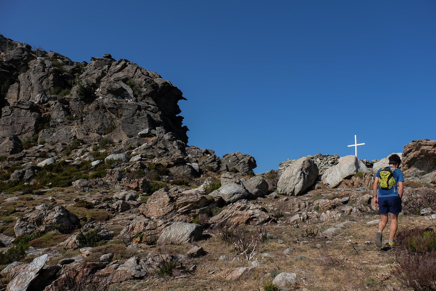
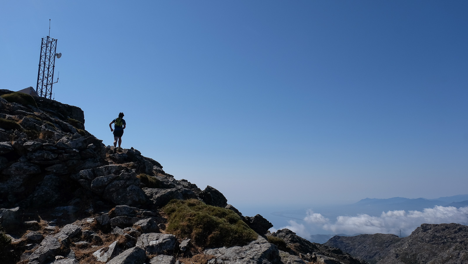
It climbs through the scrubland on a small, initially steep path, then on the side of a small valley. At the end of the traverse, it climbs again to reach Boca Santa Maria, 1st view on the west side. Descend on the other side for a few minutes to find the red-marked path to the summit on the right. The ascent is gradual up to the summit of Monte Stellu at 1307m.
Descend on the north side along a cairned path that follows the ridge below (view from the summit). Continue this way, staying on the ridge and following the cairns, sometimes spaced out. You then reach a sort of rocky head, but the cairns disappear (we've made a mistake!). We went back down to the left to find the wide path that we can see very clearly from the ridge (we should have continued along the ridge until we found the path leading down to Silgaggia).
From the lower track, follow to aim for the large pylons and cross over to the Silgaggia side at a quarry. Descend this track for several hairpin bends before rejoining the normal path. Downhill to Silgaggia, then along the road to the Pozzo parking lot.


![2017-08-01_10-56-03 [Crête de Pinu]](https://climbing7.com/wp-content/uploads/2017/09/2017-08-01_10-56-03-crc3aate-de-pinu-e1580117578105-1024x683.jpg "The Pinu ridges, Cap Corse")
![2017-08-05_13-35-40 [Monte Rotondo]](https://climbing7.com/wp-content/uploads/2017/09/2017-08-05_13-35-40-monte-rotondo-1024x683.jpg "Monte Rotondo, Melo and Capitello, Corte")

Leave a Reply