


TOPO Hiking | CLIMBING7.COM
Publié le
 Partager sur WhatsApp
 Partager sur Twitter
Partager sur Instagram
Partager sur Twitter
Partager sur Instagram

 Partager sur Facebook
 Imprimer le topo
 Laisser un commentaire

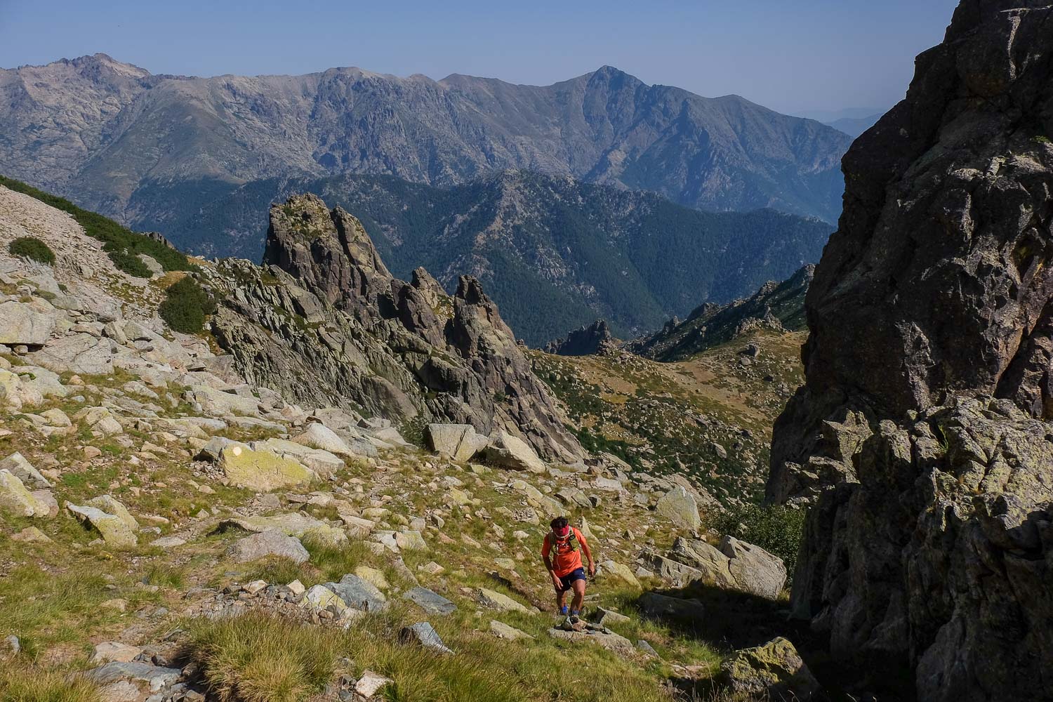
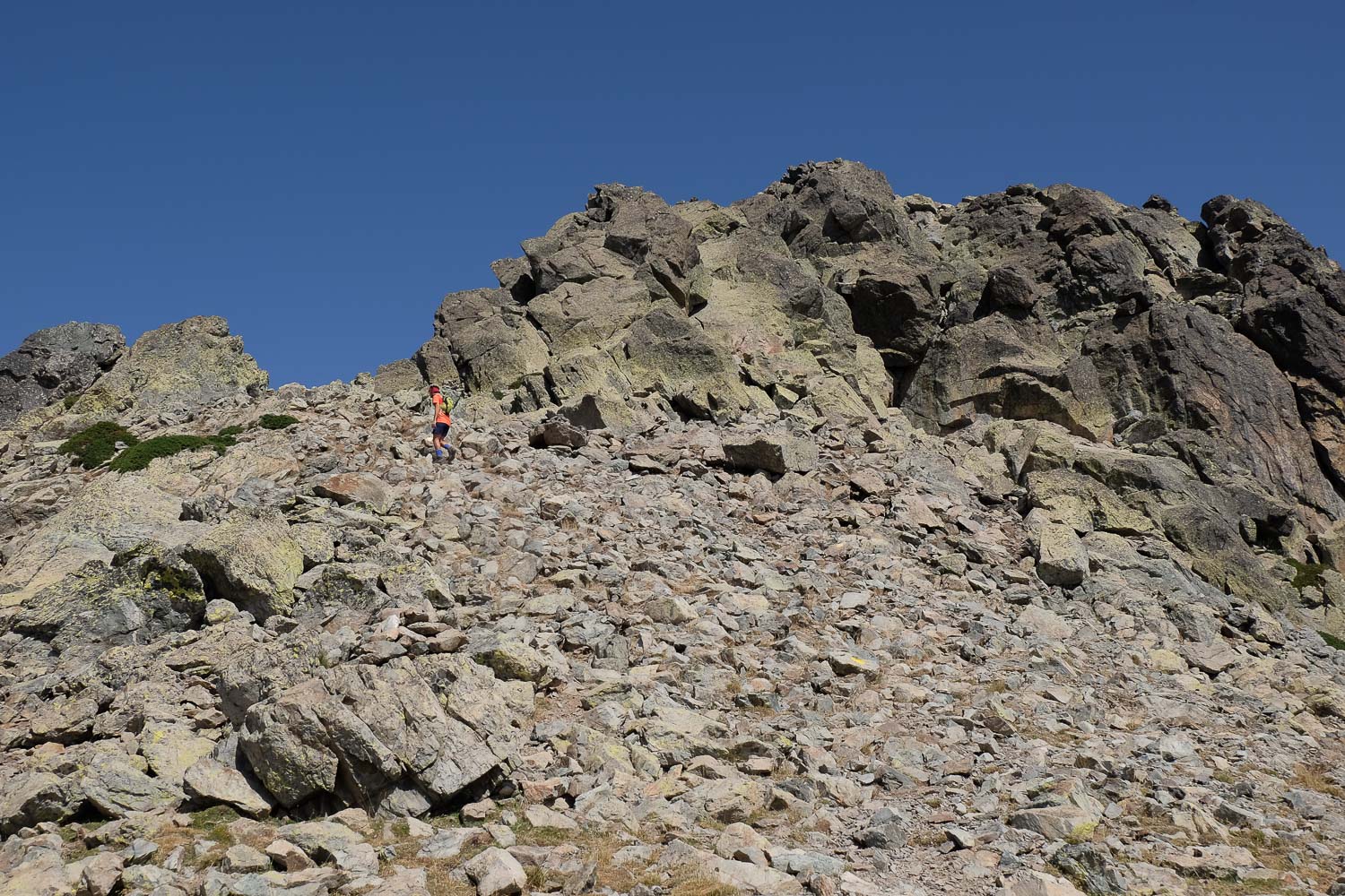
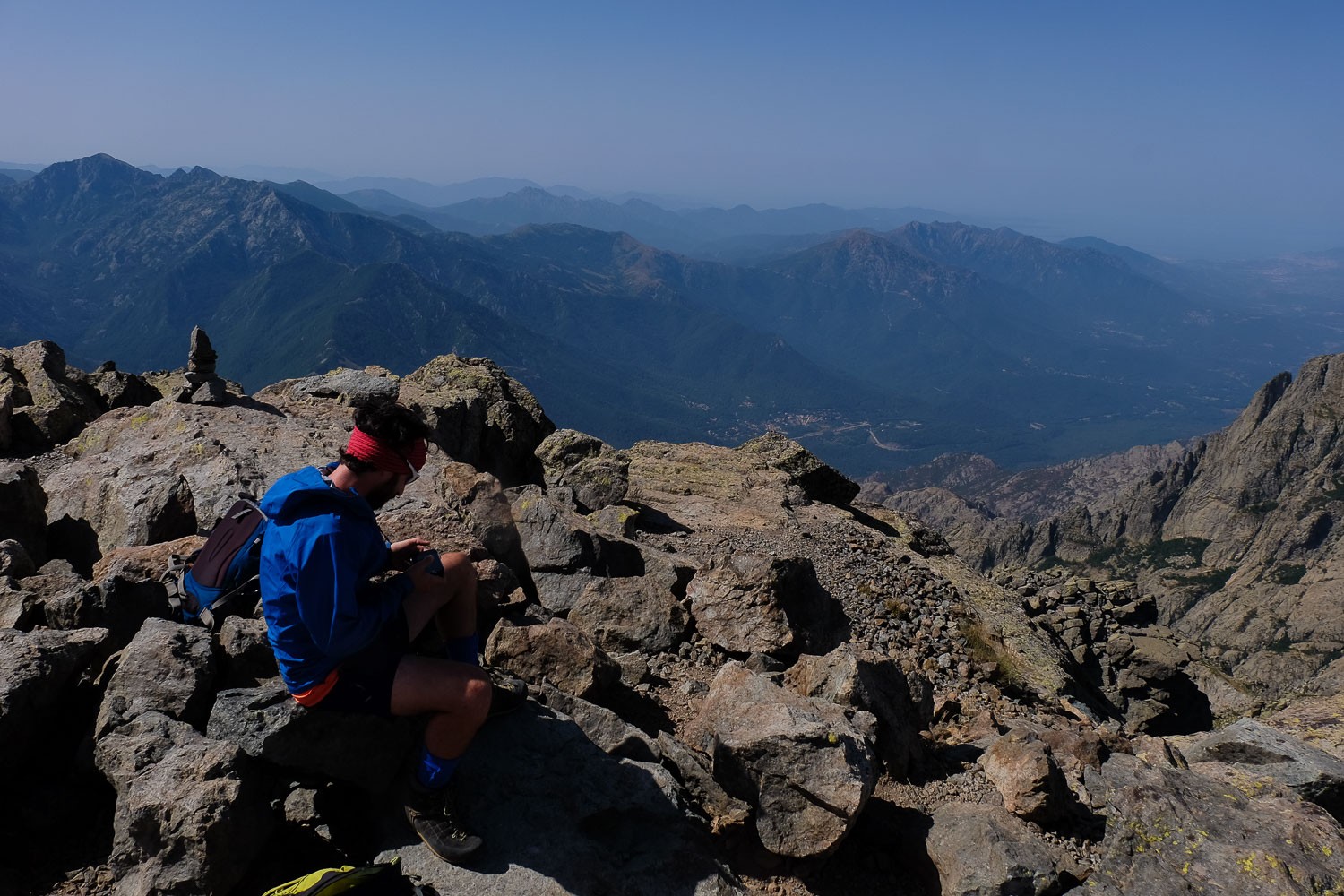
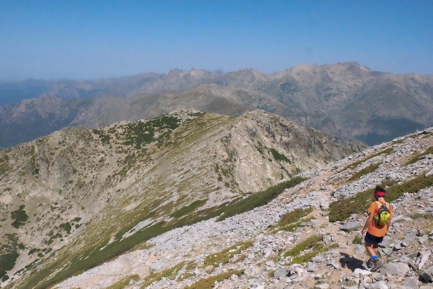
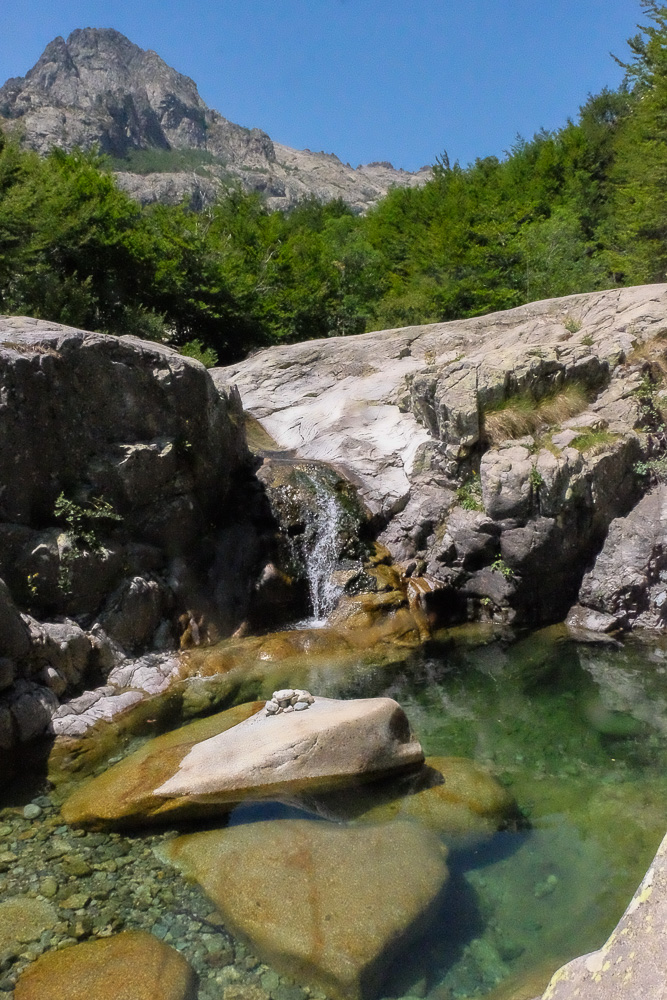
From the Vizzanova pass and along the GR20, the Monte Oro hike is well worth the detour for a beautiful alpine ascent and a 360° panorama over the heart of Corsica. A considerable physical commitment, some III/IV steps to reach the summit and tricky passages to manage are the main difficulties to negotiate on the route. On the way back, before returning to the starting point via the GR20, you can enjoy a welcome dip in the many translucent pools of the Agnone, before the overcrowded Anglais waterfall.
❱❱ Technical summary
Type ✦ Hiking
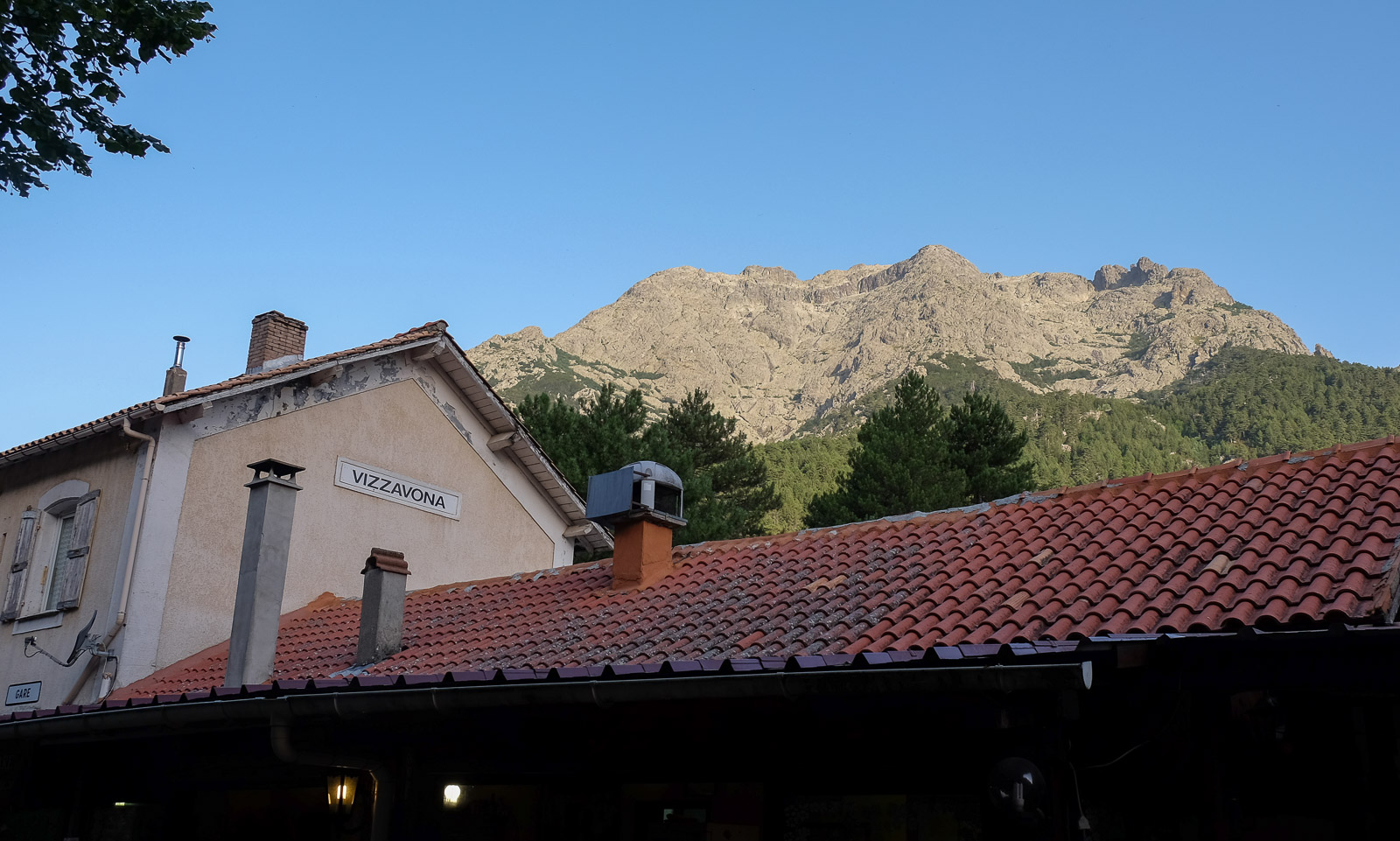
Location ✦ Vizzavona
Region ✦ Haute Corse
Country ✦ France
Length ✦ 17 kms
Elevation gain ✦ 1500 m
Difficulty ✦ D / IV
Max altitude ✦ 2390 m
Duration ✦ 6h to 7h
Interest ✦ ★★
❱❱ Access to the place
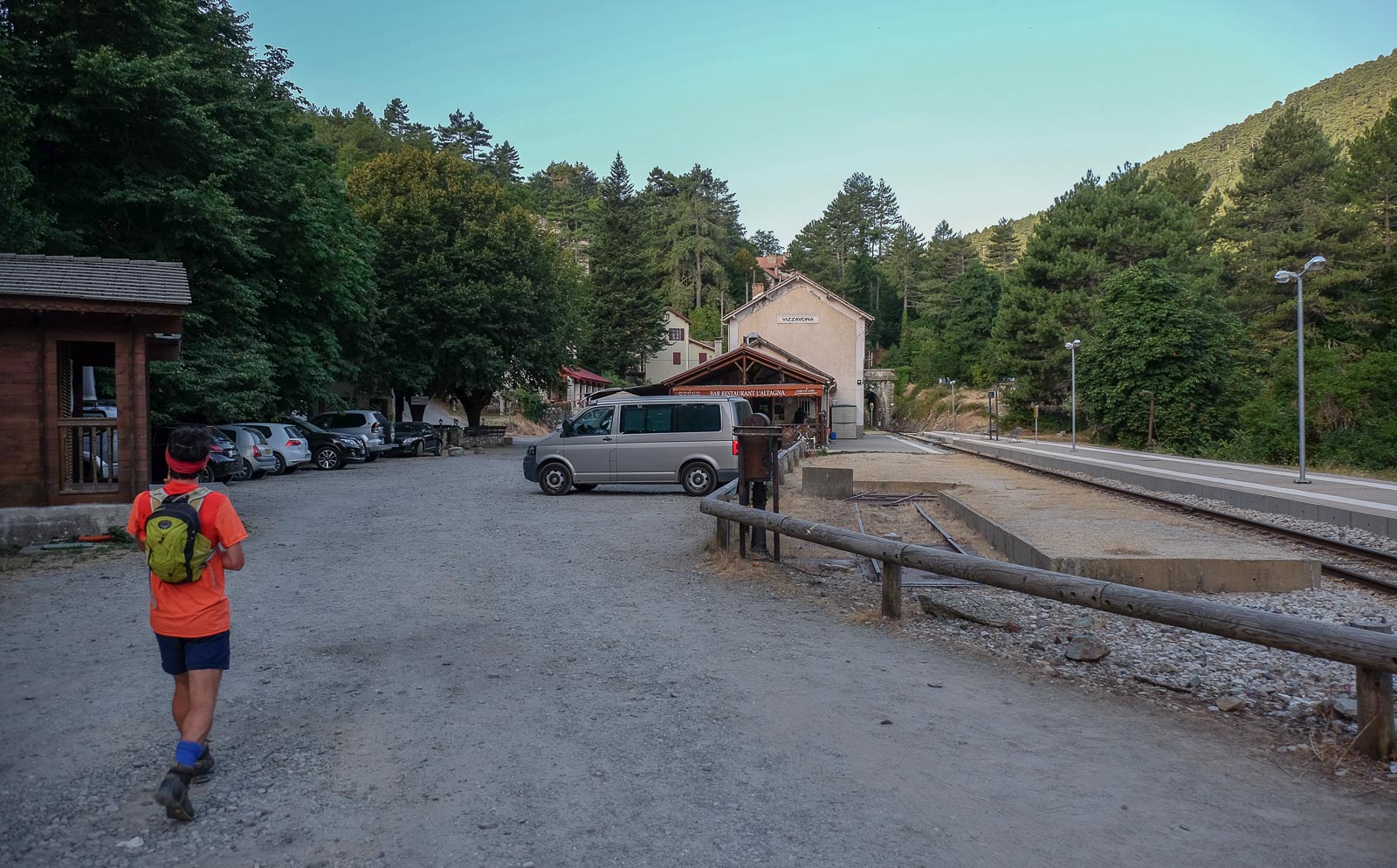
Go to the Vizzanova pass, on the T20 linking Corte to Ajaccio. Before the pass from Corte, get off at the Gare de Vizzanova and park there (bivouac possible).
❱❱ Map & topo
❱❱ Itinéraire
Climb up from the station, passing the GR20 refuge, and take the GR to the right. A few minutes later, where the path forks left towards the Cascade des Anglais, turn right to find the path and the "Monte Oru" signpost marked with yellow dots.
The total ascent is around 1,500m and the distance for the complete loop is around 17 kms. The route is fairly well marked on the ascent, with yellow markings that are sometimes a little faded. Most of the descent is on the GR20, which is very well marked. The summit of Monte Oro is at an altitude of 2390m.
From the Cascade des Anglais, continue downhill more or less along the bed of the Agnone, its basins sometimes crowded with tourists, following the path through the forest to the buvette at the start of the path up to the waterfalls. It then takes around 30′ to follow the GR20 back to the Vizzanova station.


![2017-08-05_13-35-40 [Monte Rotondo]](https://climbing7.com/wp-content/uploads/2017/09/2017-08-05_13-35-40-monte-rotondo-1024x683.jpg "Monte Rotondo, Melo and Capitello, Corte")

Leave a Reply