


TOPO Hiking | CLIMBING7.COM
Publié le
 Partager sur WhatsApp
 Partager sur Twitter
Partager sur Instagram
Partager sur Twitter
Partager sur Instagram

 Partager sur Facebook
 Imprimer le topo
 Laisser un commentaire

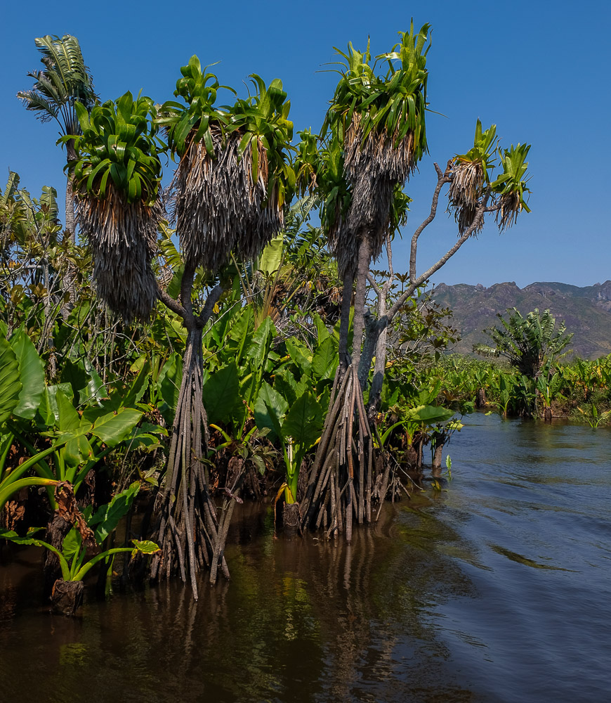
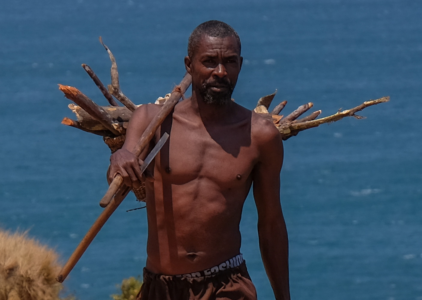
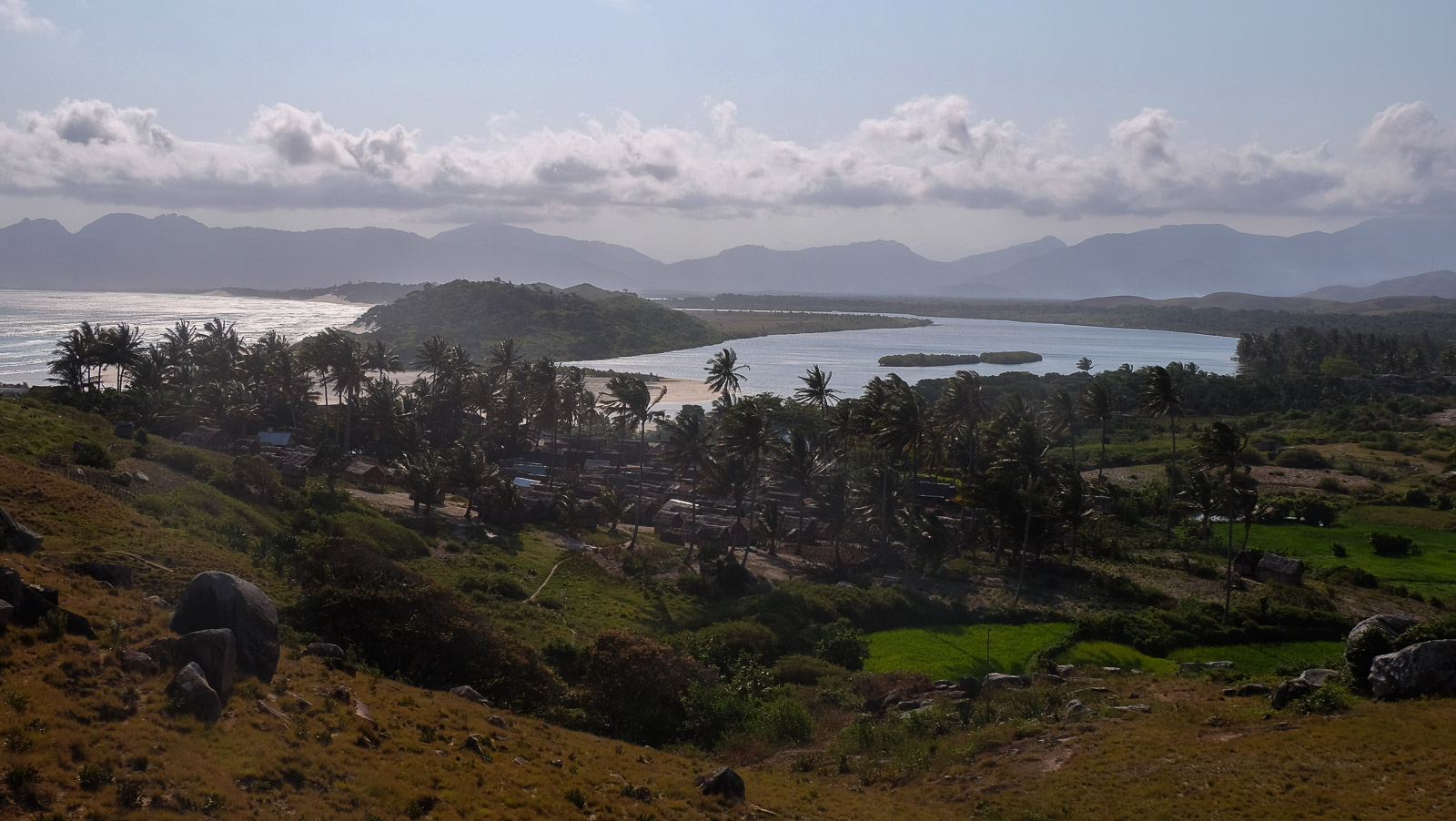
East of Tolanaro, ex-Fort Dauphin, in the very south of Madagascar's Anosy region, the more or less improvised hike to Pointe d'Evatraha is well worth the detour: wild landscapes and incredible colors, picture-postcard beaches and coves opening onto an emerald sea, and a slight climb to gain enough height to admire it all. The arrival by the lagoon is already part of the adventure, in an exotic plant atmosphere, against a splendid mountain backdrop. The area of giant boulders on the way back to the east is surprising, and could be the subject of a return climb. A day in the shoes of Robinson Crusoe, at the end of the world.
❱❱ Technical summary
Type ✦ Coastal hiking
Location ✦ Tolanaro
Region ✦ Anosy
Country ✦ Madagascar
Length ✦ 10km
Elevation gain ✦ 300m
Difficulty ✦ MD
Duration ✦ 3h to 4h
Interest ✦ ★★
❱❱ Access to the place
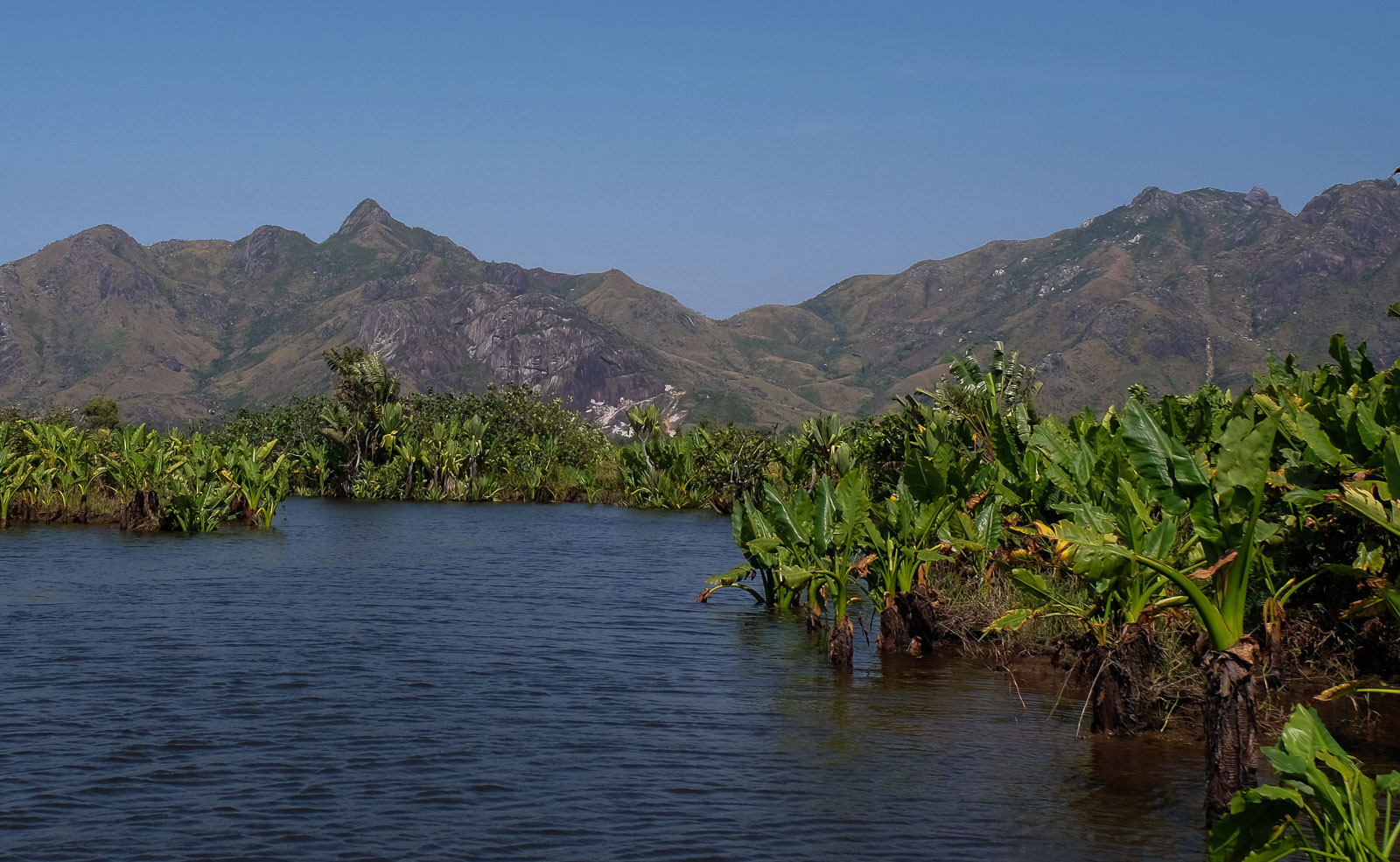
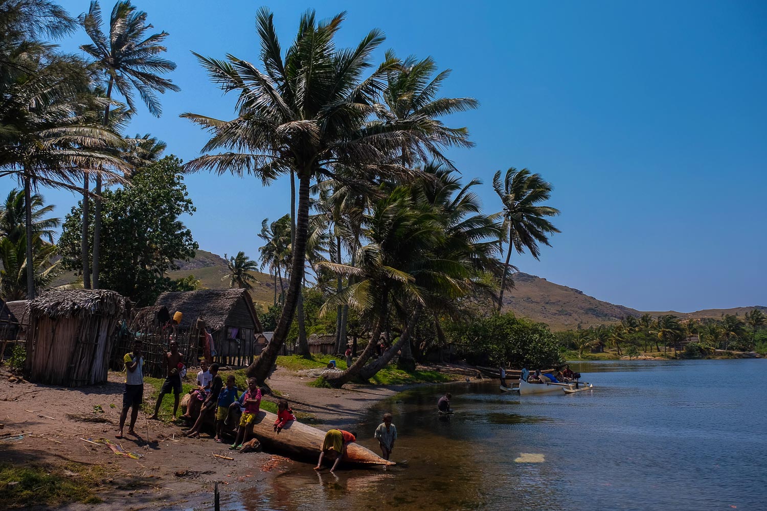
From Tolanaro, take the coastal road to the pier (see map). Allow 1 hour by motorboat. You pass through the 1st large basin (Lake Lanirano), then enter the narrow, winding section. The canal opens up and you enter a 2nd basin, then a 3rd, much larger one (Lake Embavarano), where you'll find the site of a Canadian mining operation (QMM Ilmenite). At the bottom, we pass through a lock (!) that separates brackish and fresh water. Finally, we head up a wide canal to the village of Evatraha.
❱❱ Map & topo
❱❱ Itinéraire
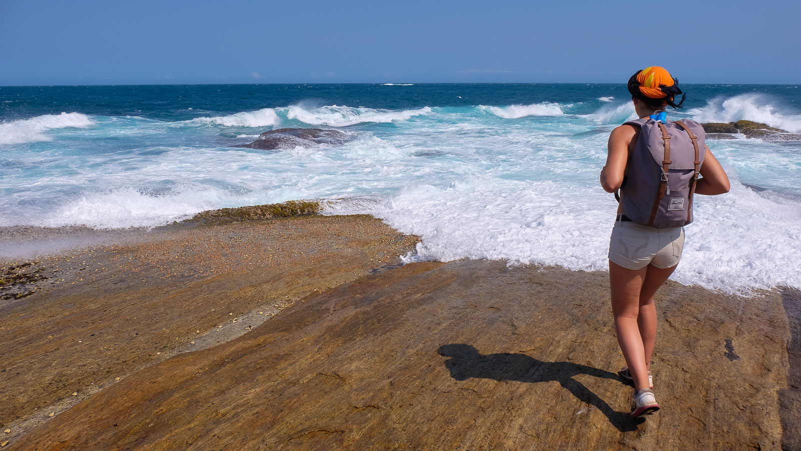
Pass through the village and head south. It's easy to find the path that runs alongside the lagoon to reach a magnificent bay, which in fact corresponds to the mouth of the lagoon on the sea. It's exceptional: white sand, orange rock, emerald water and pure lines of white waves against a mountain backdrop. From here, the loop begins.
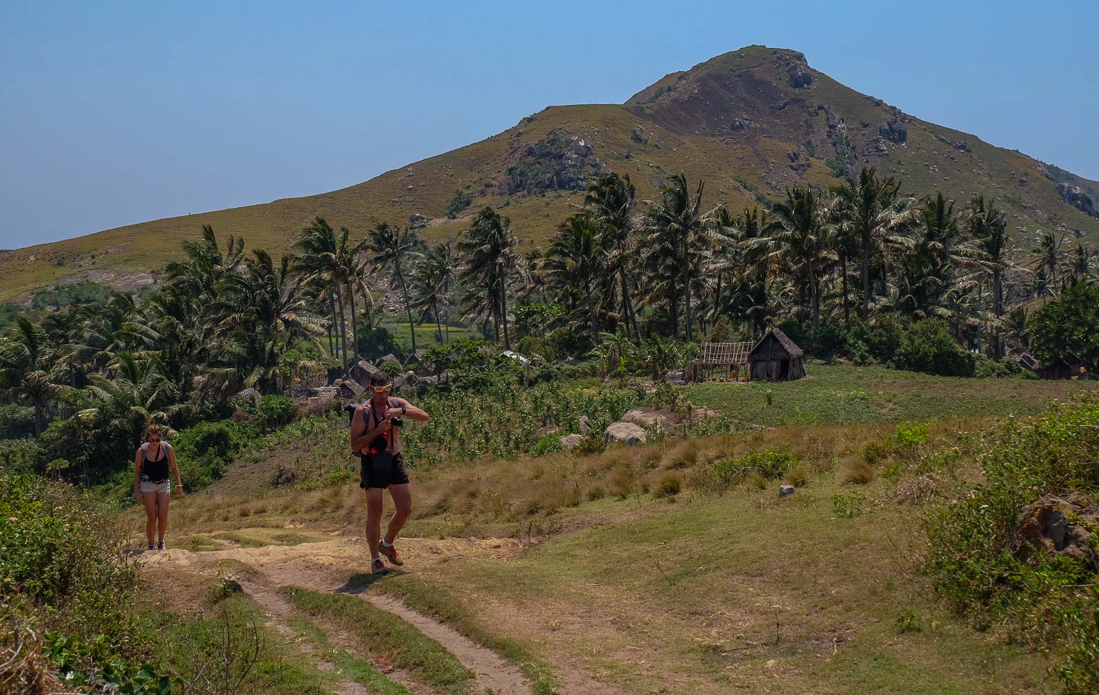
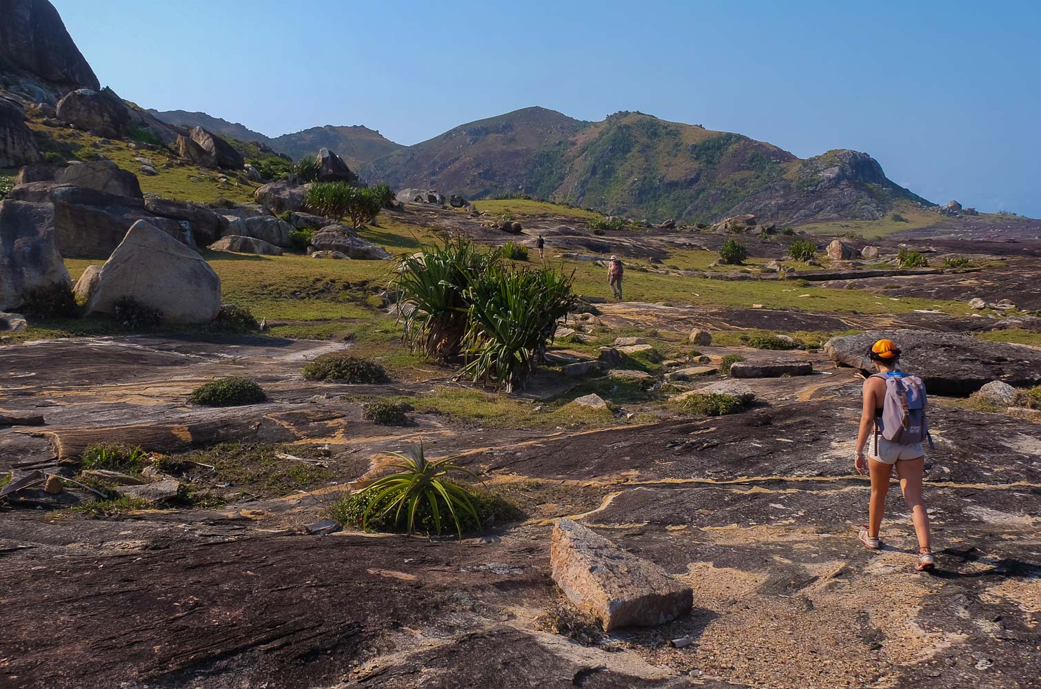
There is no signposted itinerary, just numerous paths that you can follow at a glance. The route is obvious and logical, reaching the point from the west and returning from the east, before retrenching the mountain to rest on the west side. There's little change in altitude and no difficulty if you stay on the trails. Allow 3h30 to 4h for a leisurely round trip.
Climb up past the bay, staying along the coast (don't go into the village at the top, where you'll return at the end). Pass over a hump overlooking the bay and the mouth, with a splendid panoramic view. Continue on a track that bends sharply to the right to return to and descend onto a small, beautiful beach, overlooking a small cove and facing a peak.
From here, climb left inland, and after 10-15', cross a ridge that gives access to the opposite side: a magnificent wild cove with rice fields at the far end. Follow the path, staying high and heading towards the mountain and the lighthouse opposite. It descends to a sort of pass before climbing steeply to the small peak (you can pass to the left of the peak to go directly to the lighthouse). From the summit, enjoy a 360° view, then descend to the abandoned lighthouse. Continue down the path to the right of the abandoned houses. You reach the final part of the peak. You can then continue to the right and reach a splendid mini-creek for a swim.
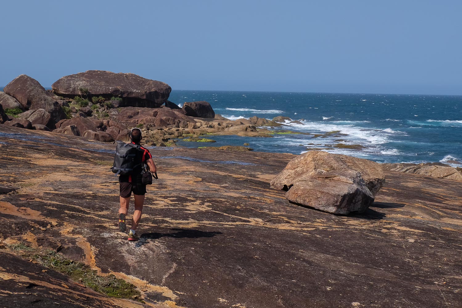
Then continue along the seafront, passing over granite slabs and between boulders. You'll find some lovely long orange granite formations and natural pools. Continuing on like this, you finally reach the end of the point, after which it's out to sea!
Backtrack, this time staying on the east coast. Follow a fairly well-marked path that remains almost at water level. When you reach the lighthouse, continue past a small creek and climb up to a large granite slab. Continue on. It climbs a little to cross a small pass, then descends to a long grassy esplanade. Cross it.
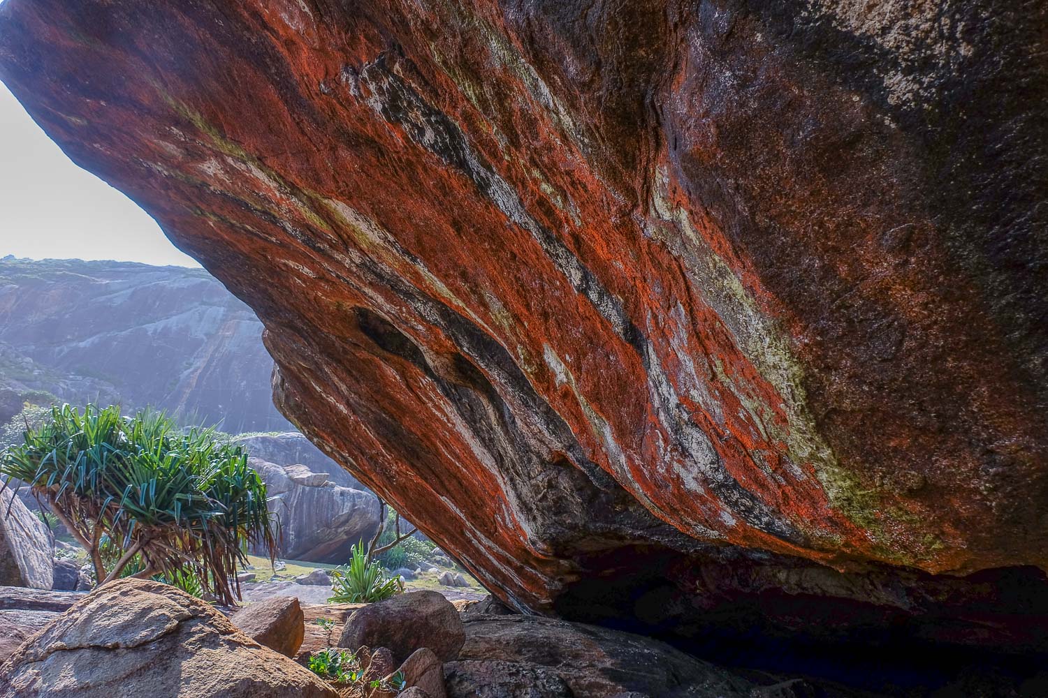
At the end, you pass a small beach, go down to pass a new mini-creek and climb up to a large granite slab which turns orange-yellow and black. At the end, you see a huge, slightly flattened boulder standing as if on a pedestal, close to the sea. Walk gently down the coloured granite, aiming for the boulder. Eventually, you reach the boulder and discover, below, an astonishing wall coloured red and white. All around, giant granite boulders lay here and there: a new bouldering area to discover?
From here, continue on a slab with a few more boulders, then veer left before the next creek to cut into the valley. We join a marked path that passes between 2 summits to descend on the west side just above the village of the bay overlooking the mouth. This is where you find the approach trail again.
Follow the approach path in the opposite direction back to the pier. If you're lucky, you'll see an impressive sunset. The atmosphere!


Leave a Reply