


TOPO Climbing | CLIMBING7.COM
Publié le
 Partager sur WhatsApp
 Partager sur Twitter
Partager sur Instagram
Partager sur Twitter
Partager sur Instagram

 Partager sur Facebook
 Imprimer le topo
 Laisser un commentaire

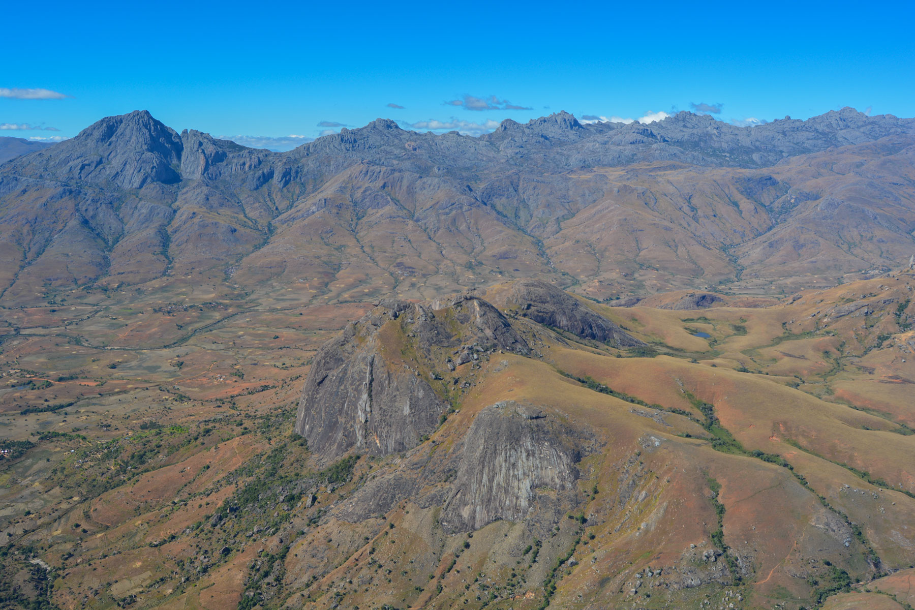
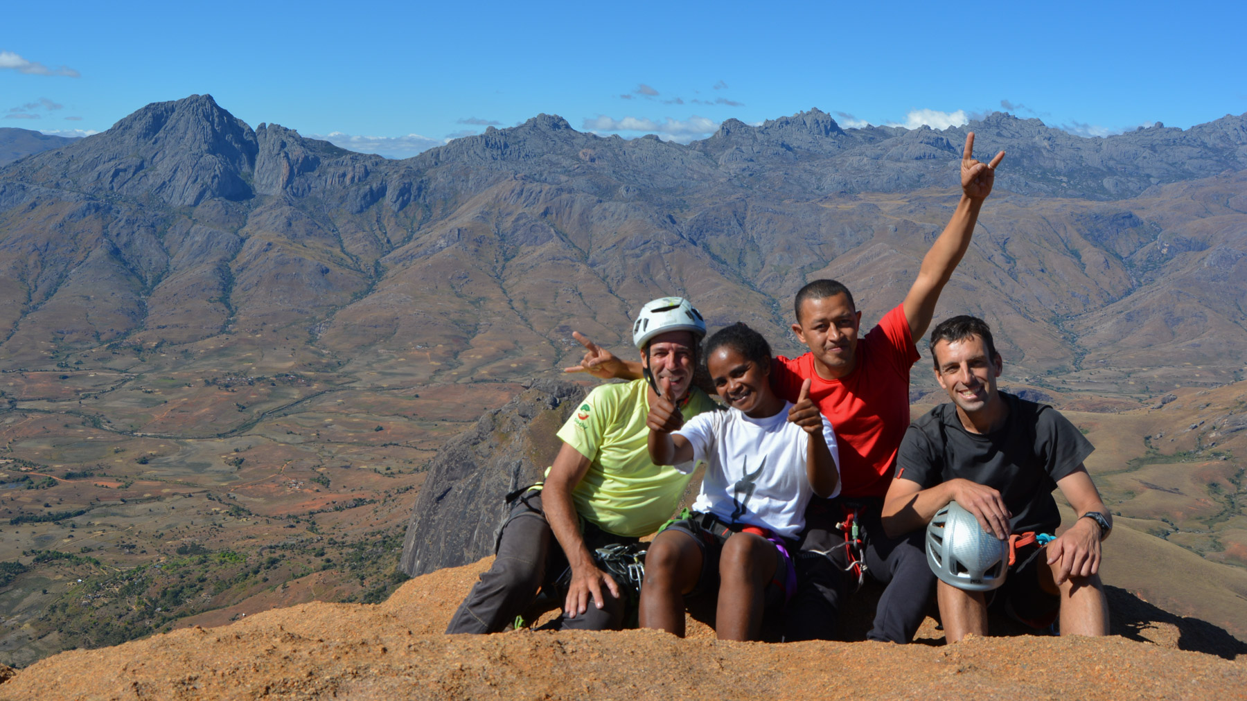
Tsaranoro Valley, south of Ambalavao, on the border between the Betsileo and Baran countries, this immense granite wall rises from a backdrop of rice paddies and savannah. The normal route to Tsaranoro is a gentle stroll to reach the summit without difficulty, to get in touch with the 1st quality granite of the area and admire the splendid view over the region. The route is in fact halfway along the loop of the grand tour of Tsaranoro, and offers a simple but aerial itinerary. A great discovery, while waiting to come back to try a great route accessible in the area, but probably those that turn into 7 or 8, or else in another life. A magical corner, a mythical cliff, a memorable walk!
❱❱ Technical summary
Type ✦ Large equipped track
Location ✦ Tsaranoro
Region ✦ Ambalavao
Country ✦ Madagascar
Lengths ✦ 4
Rock ✦ Granite
Dénivelé ✦ 120m
Difficulty max ✦ IV
Interest ✦ ★
❱❱ Access to the place
On the RN7, under Ambalavao, fork to take the track due south towards Vohitsoaka. Continue to the valley floor. Accommodation available at Tsarasoa Lodge.
❱❱ Map & topo

❱❱ Itinéraire
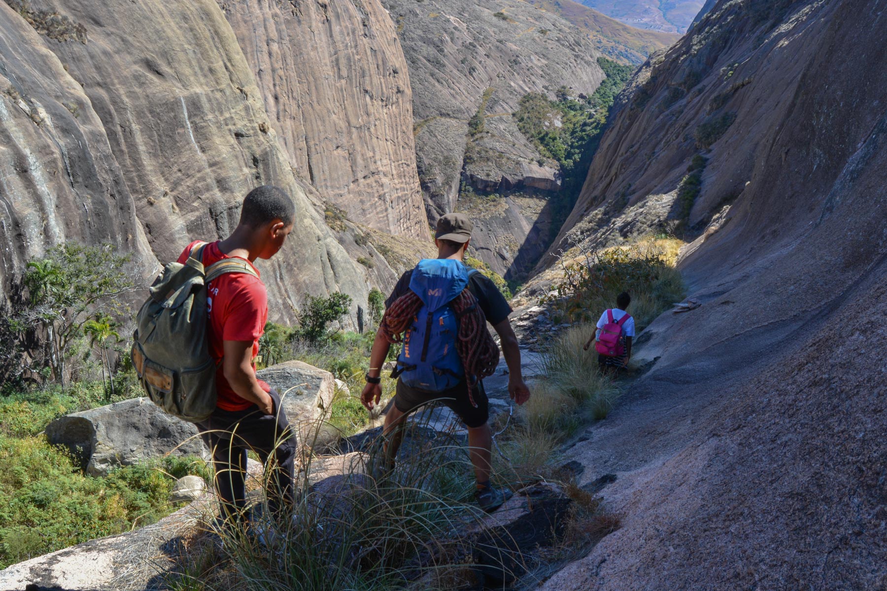
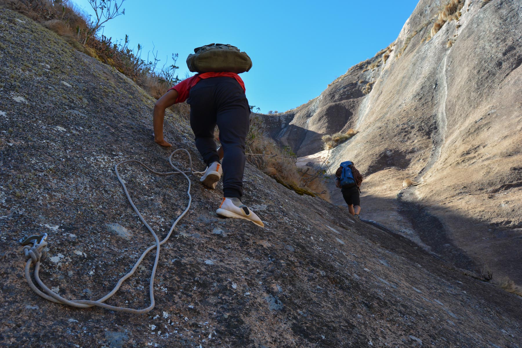
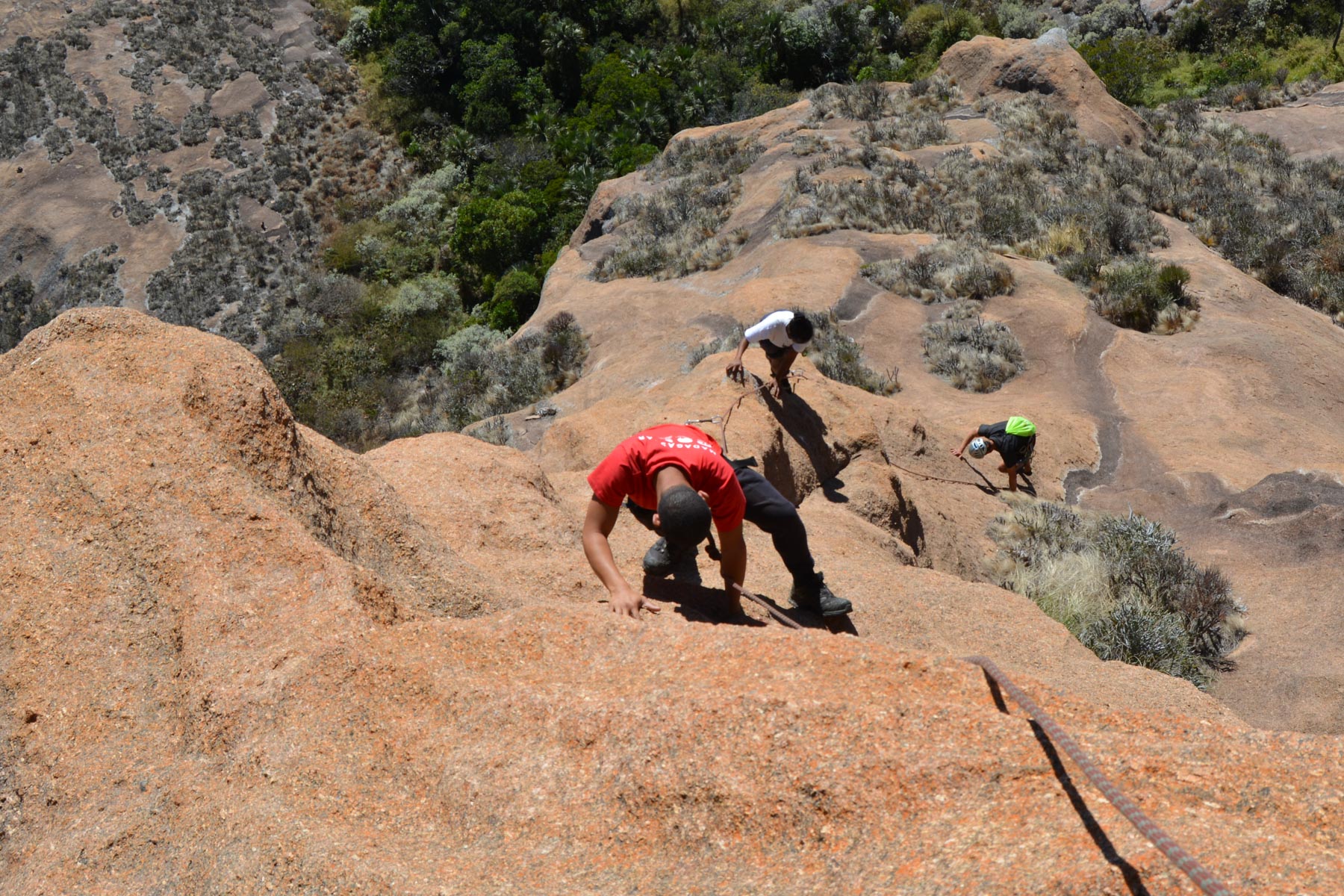
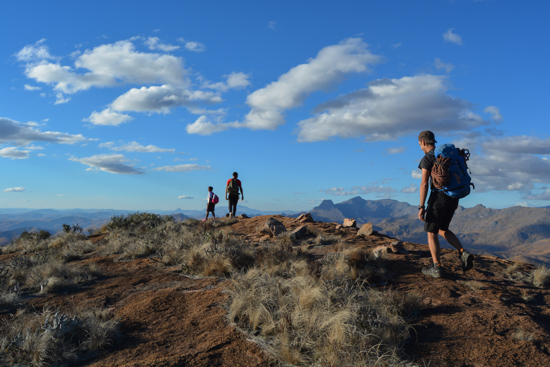
This is the first part of the Grand Tour du Tsaranoro(see trek topo). Arriving behind the summit and before continuing on the ridge, descend into the valley of vegetation and on the opposite side, walk on a ledge to reach a semi-equipped gully leading to one of the summits. Cross to the head of Tsaranoro and climb up the natural ramp to the start, on a sloping, undulating slab. 1st nail at 6 or 7m.
This route is equipped for 4 pitches of around 30m, but can be done in 2 pitches with a 60m pitch. The equipment is recent but curious, with very few plates on the last 2 pitches and in places that don't always make sense.
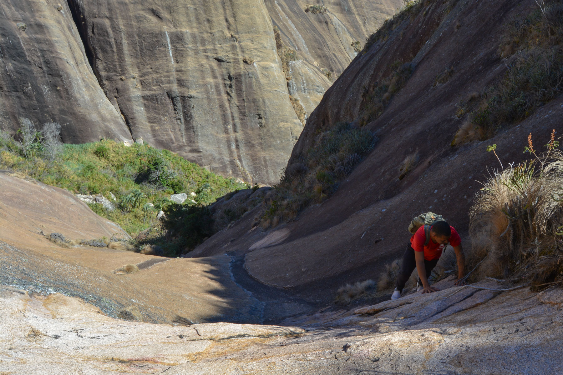
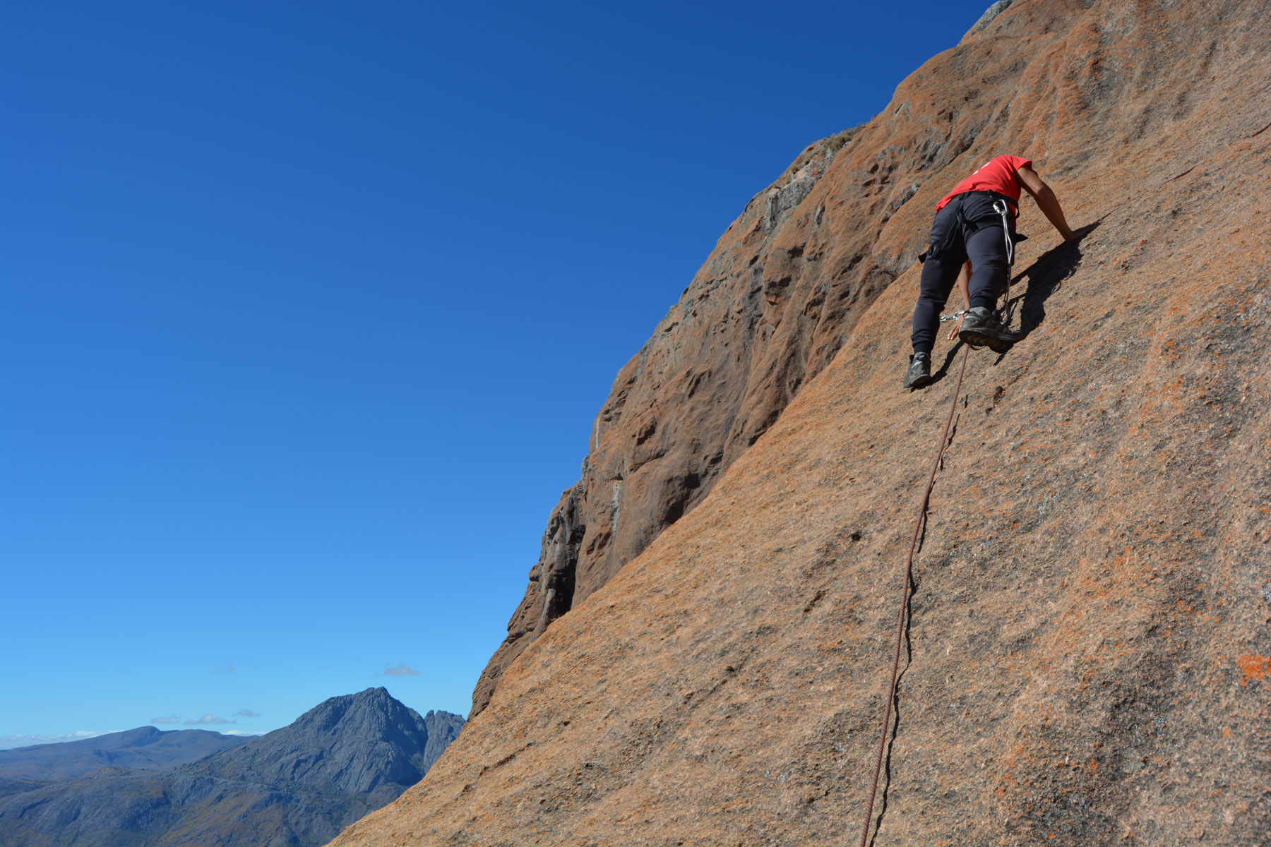
The route follows the sloping ridge line that curves up to the summit. No difficulty, the climb being in III with a few steps of IV, the end even easier in II/III.
The rock is fantastic, with orange lichen staining the granite without losing its grip. Abrasive contact, maximum grip for the feet, lots of little holds on the surface.
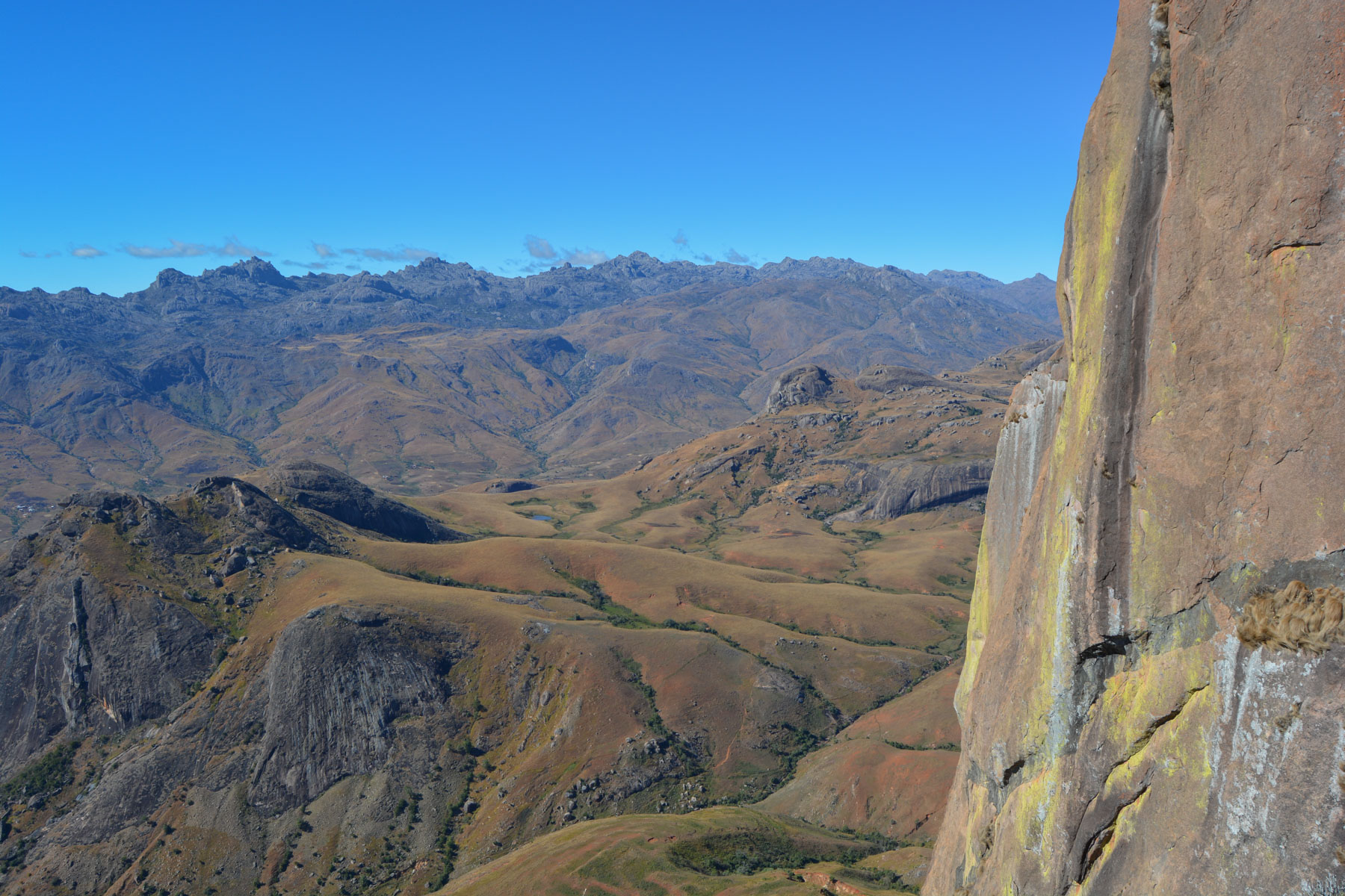
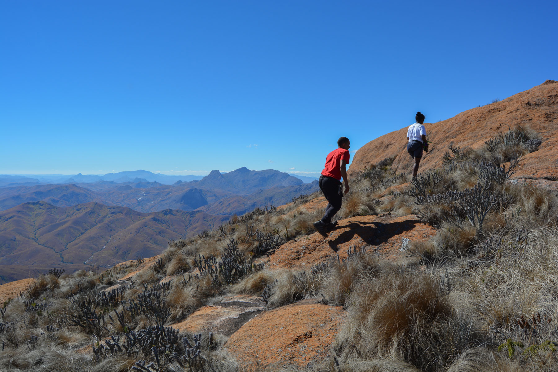
By the 4th belay, there's no more point and we end up walking up the last 100m to reach the summit. We're right above Le Caméléon, with the Andringitra massif on the horizon.
Either abseil 40m on the west side (not done because not the right rope) or abseil the route twice and then retrace your steps before continuing on the Grand Tour du Tsaranoro to reach the karambony ridges and return to Tsarasoa via the valley.


Leave a Reply