


TOPO Hiking | CLIMBING7.COM
Publié le
 Partager sur WhatsApp
 Partager sur Twitter
Partager sur Instagram
Partager sur Twitter
Partager sur Instagram

 Partager sur Facebook
 Imprimer le topo
 Laisser un commentaire

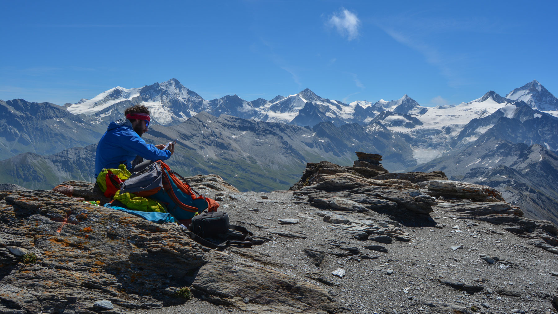
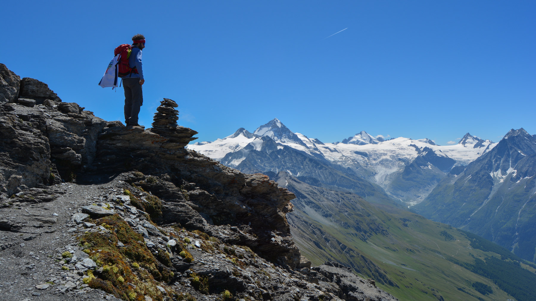
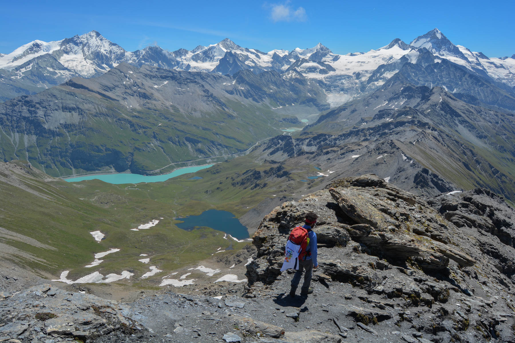
The Sasseneire, at 3254m, offers splendid views of the Val d'Hérens and Val d'Arolla to the west, and the Val d'Anniviers and Val de Zinal to the east. To the south, a veritable natural barrier, you can admire the great glaciers of the Zinalrothorn and Dent Blanche, at over 4000m. It's an out-and-back trek, but there's just as much to see on the way up as on the way back. The final ridge from the Col de Torrent to the summit is more demanding, with a few aerial and exposed passages to negotiate. A not-to-be-missed outing, a great choice for a 3000m climb and a superb panorama.
❱❱ Technical summary
Type ✦ Hiking
Location ✦ Grimentz
Region ✦ Valais
Country ✦ Switzerland
Length ✦ 13kms
Difference in altitude ✦ 1000m
Difficulty ✦ MD
Max altitude ✦ 3254m
Duration ✦ 4h30 to 5h
Interest ✦ ★★★
❱❱ Access to the place
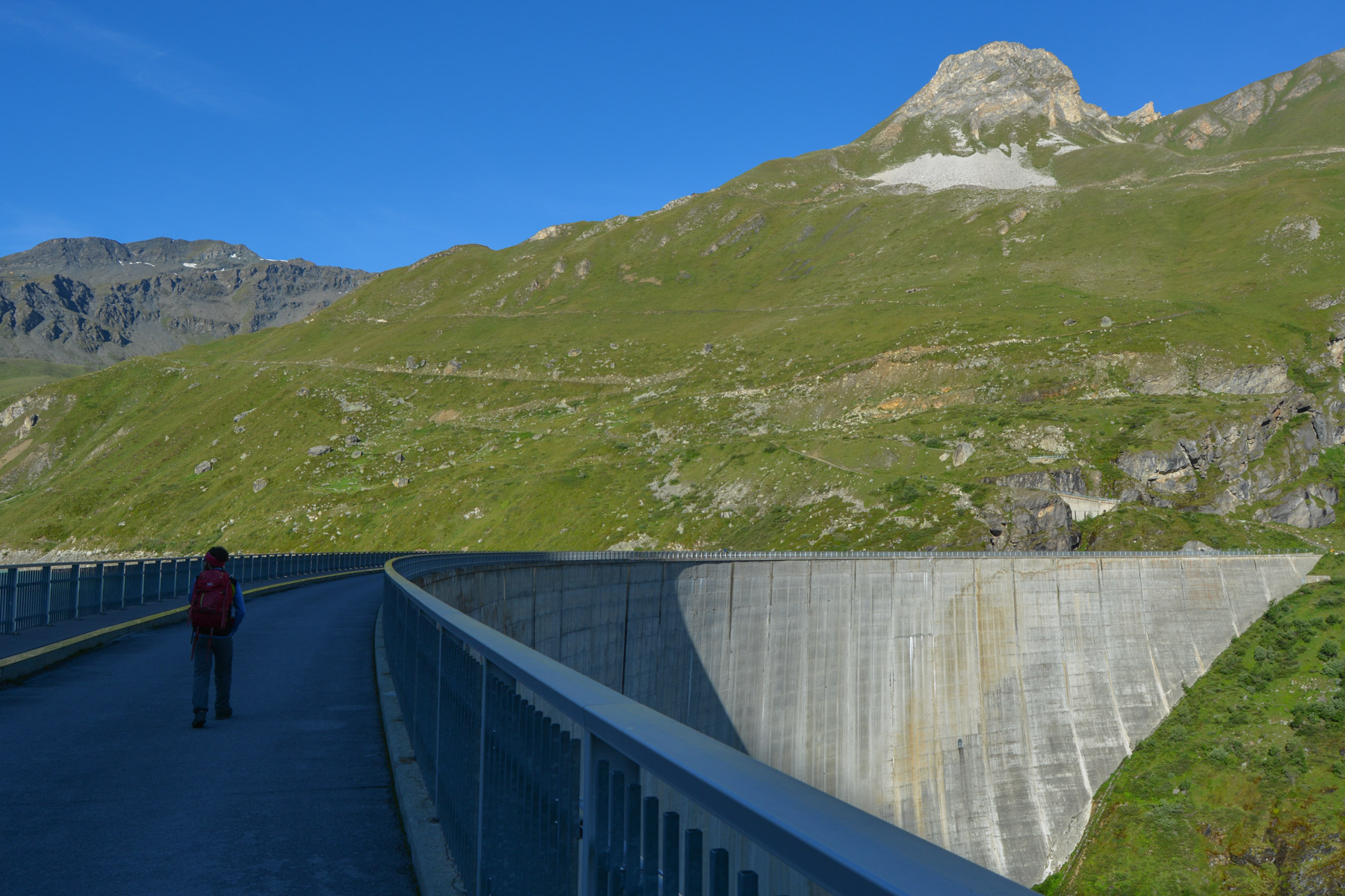
After Sion and at Sierre, head for Vissoie then Grimentz. Go up into the village and take the road to Moiry (Barrage). After a few kilometers of ascent, you'll arrive at the parking lot next to the dam and reservoir.
❱❱ Map & topo
❱❱ Itinéraire
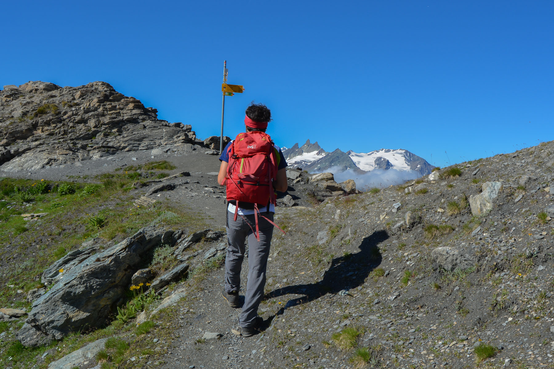
Cross the dam and follow the road uphill. A little further up, you'll find the signs and path leading to the Col de Torrent.
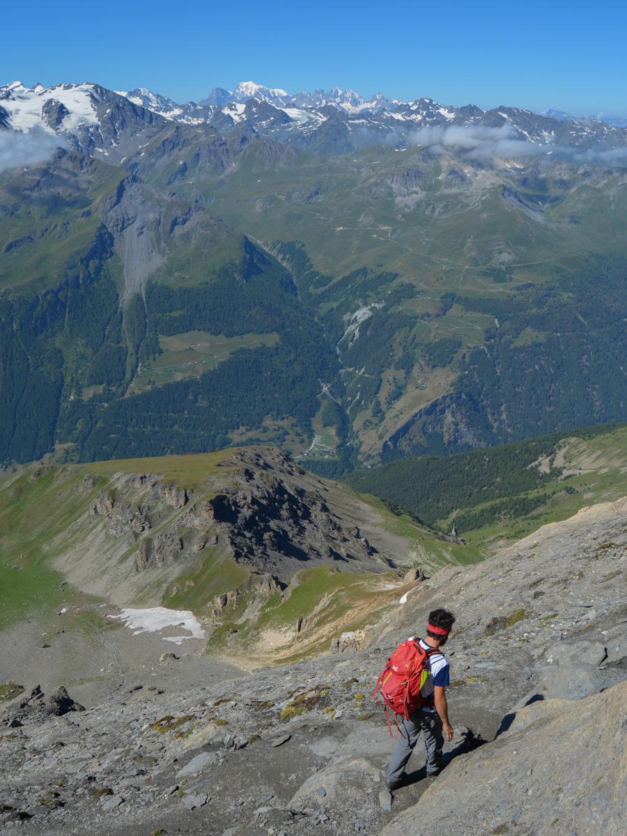
This is an out-and-back trek. The route is obvious, and as soon as you're in the Alpine pastures, you can see all the way to the summit. No equipment is required, the only difficulty being the few passages on the final ridge, which are steep and exposed in places but not technically demanding.
All the hiking maps up to a scale of 25:000 are available online, free of charge, by downloading the Suis Map Mobile application onto your smartphone. With this free version, you can also download a 10km by 10km map for off-grid consultation.
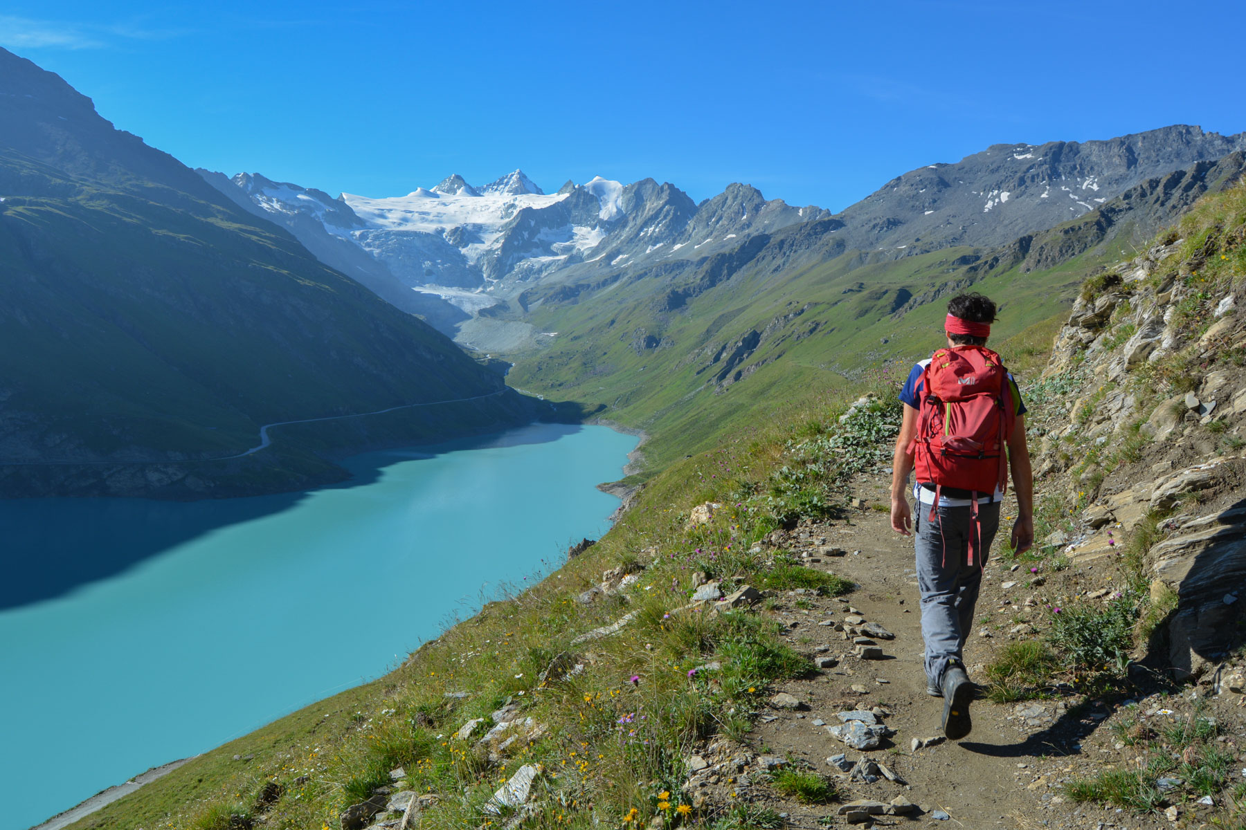
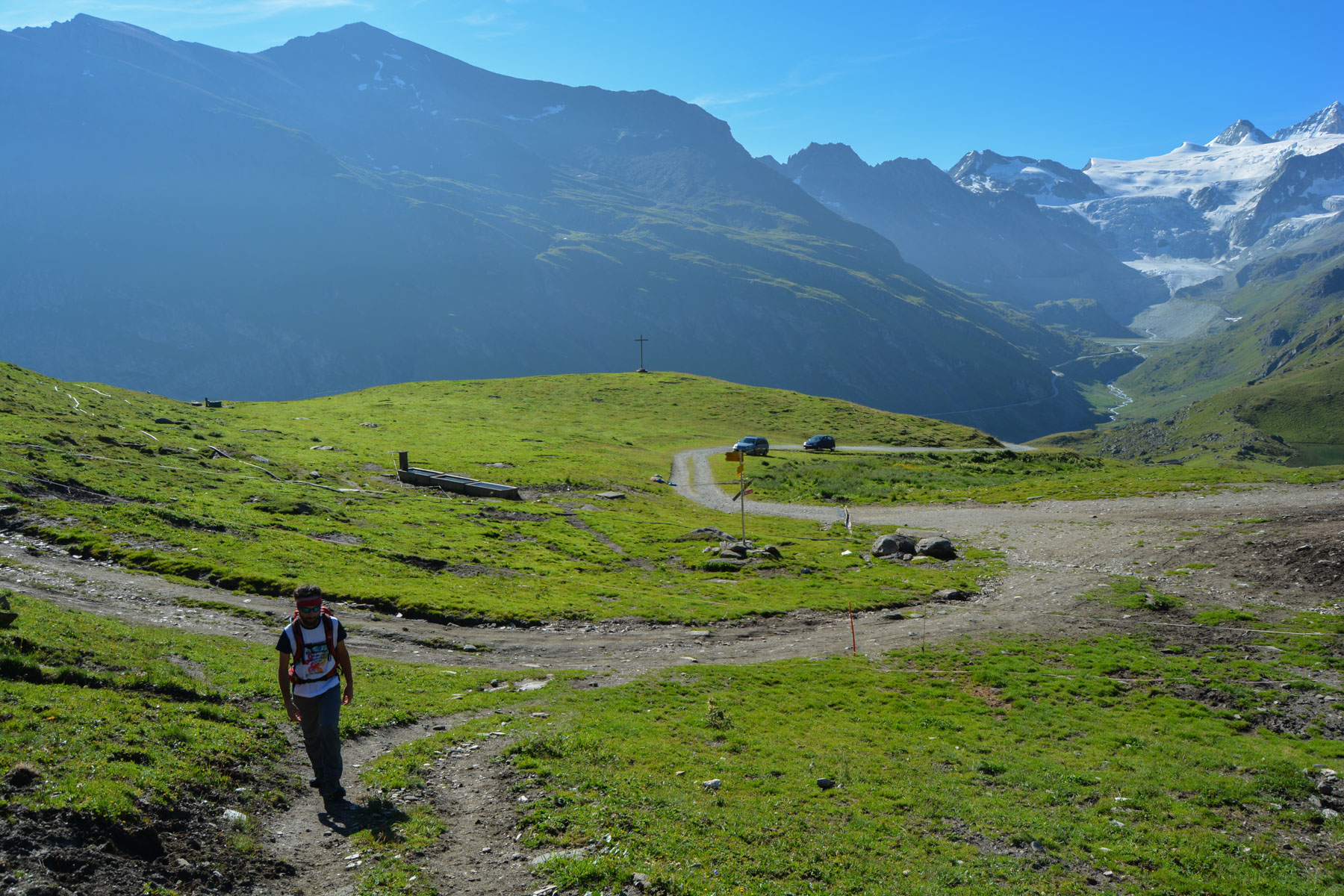
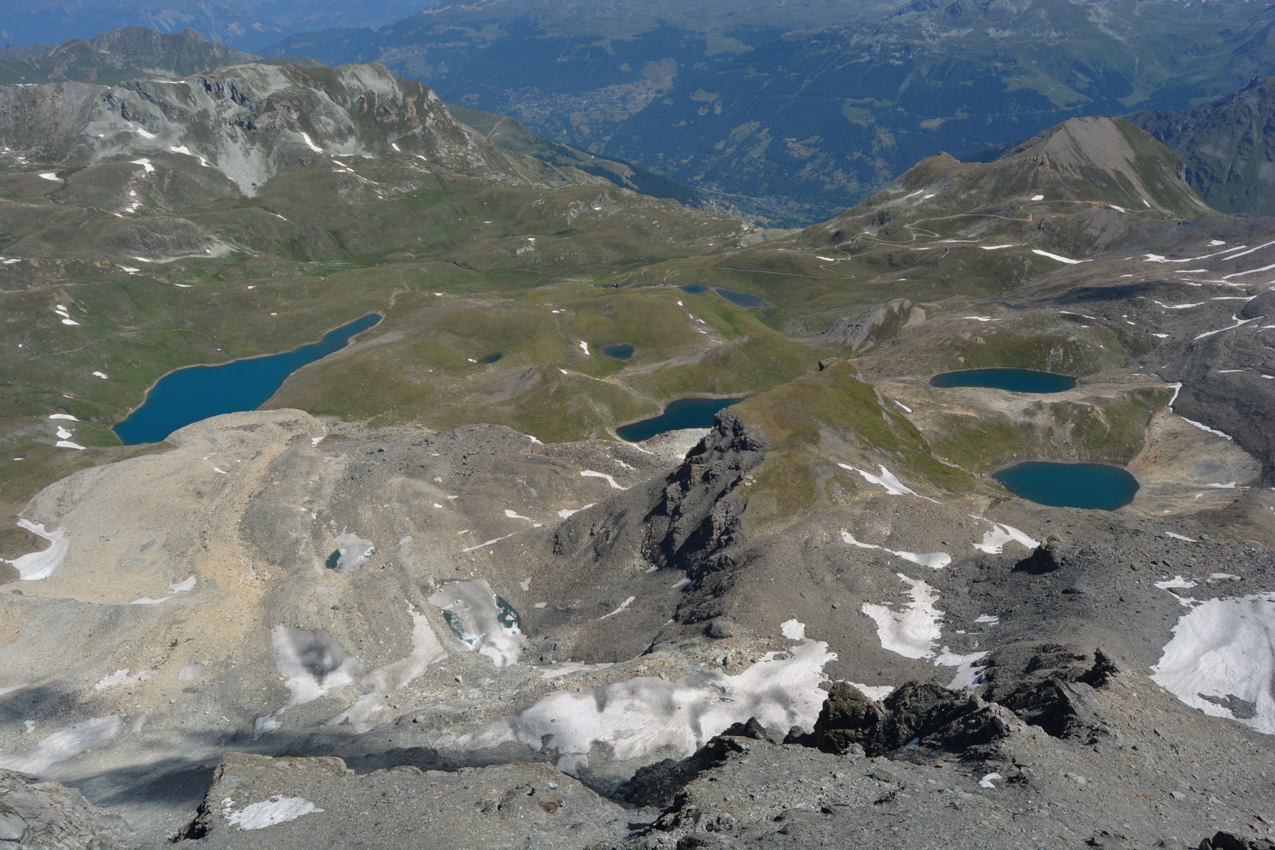
The trail twists and turns and climbs steadily until it reaches the Alpages de Torrent with a few huts. Continue along the wide path that climbs and soon reaches the Lac des Autannes. The pass to be reached and the Sasseneire peak are clearly visible. Continue along the well-marked footpath, which winds gently upwards through the combe to the Col de Torrent and the splendid view of the Val d'Hérens on the other side.
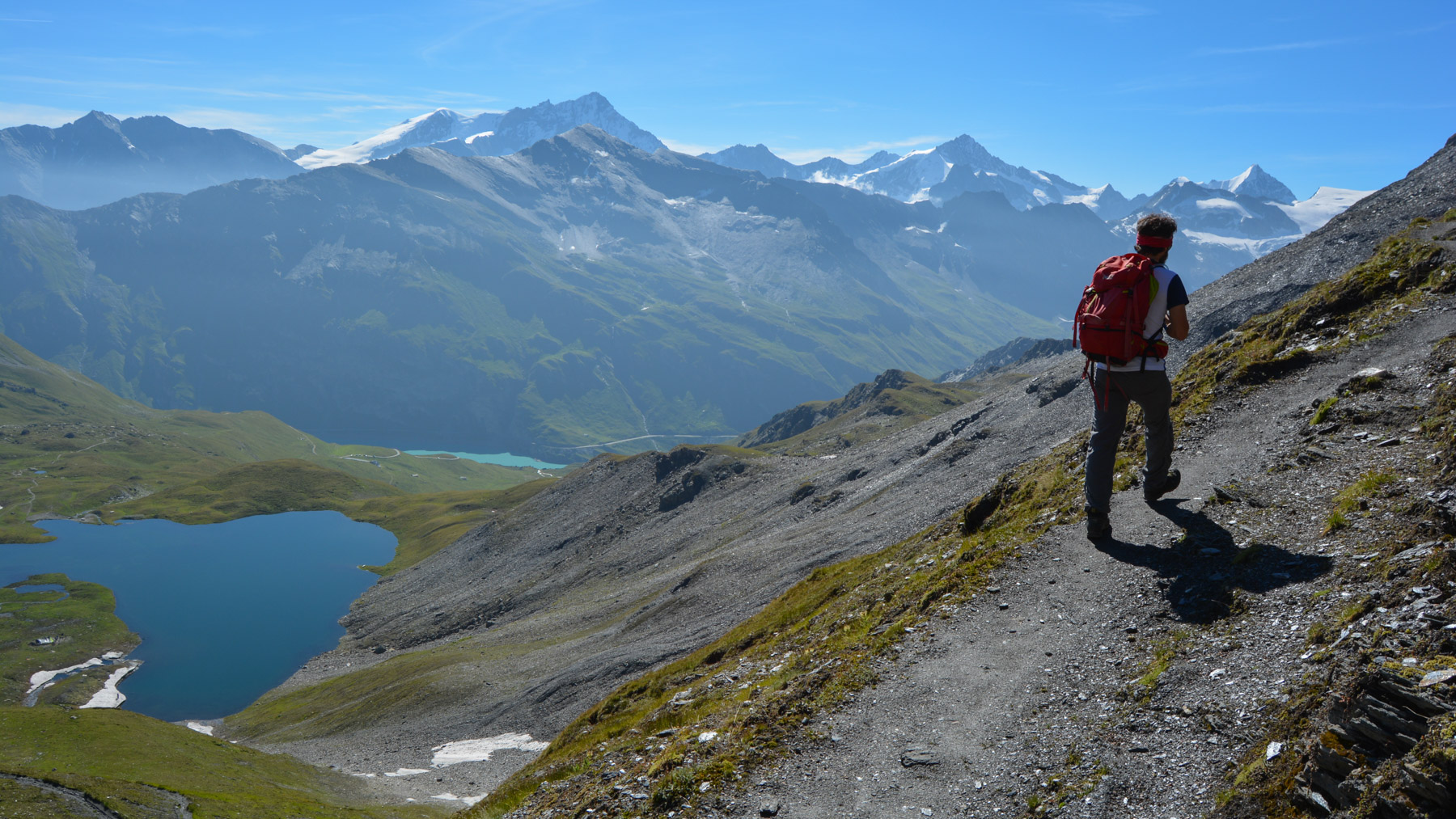
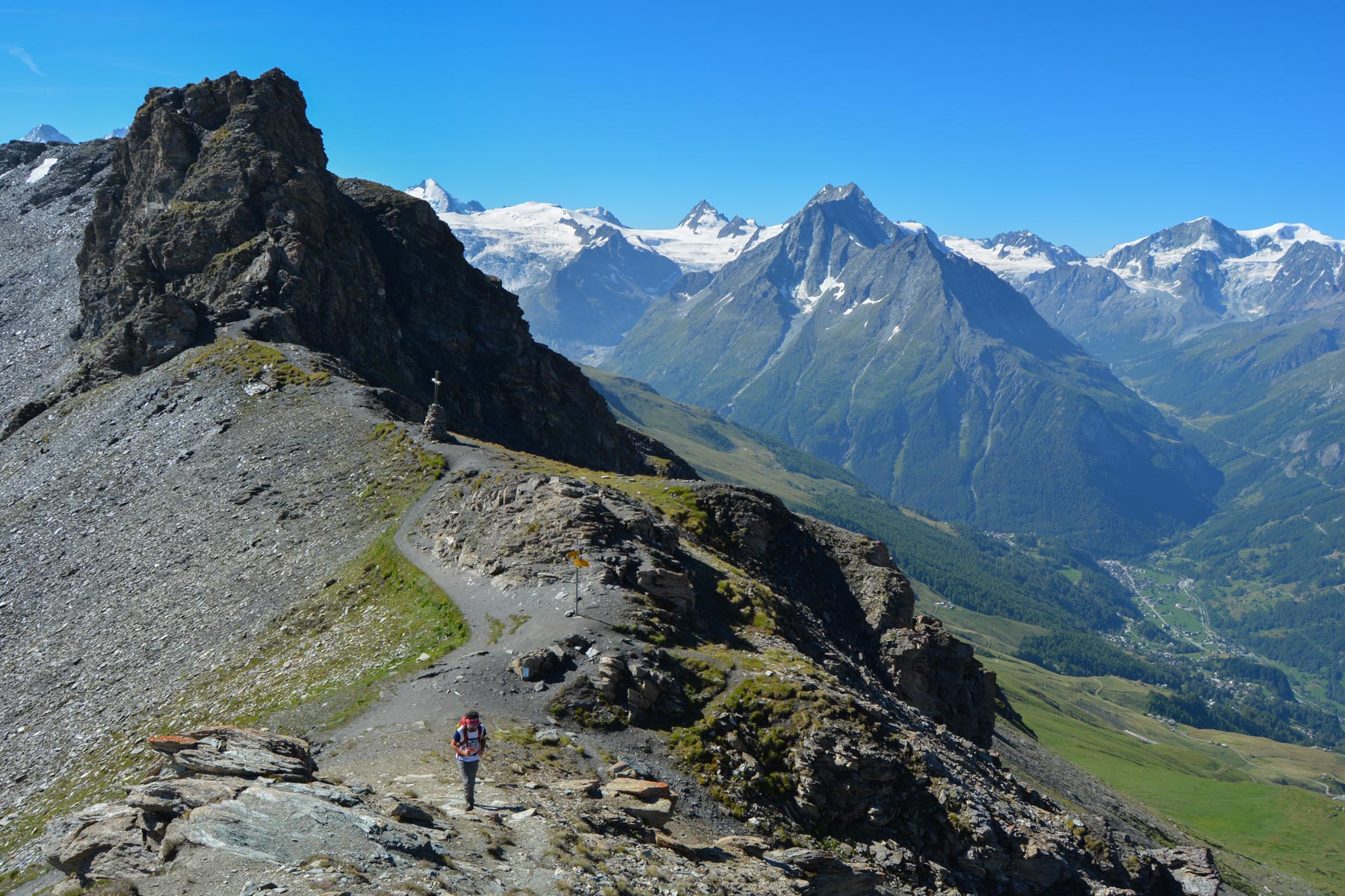
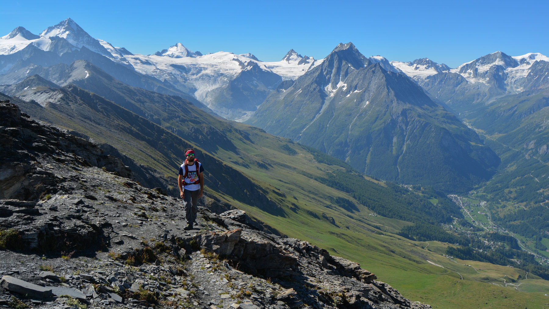
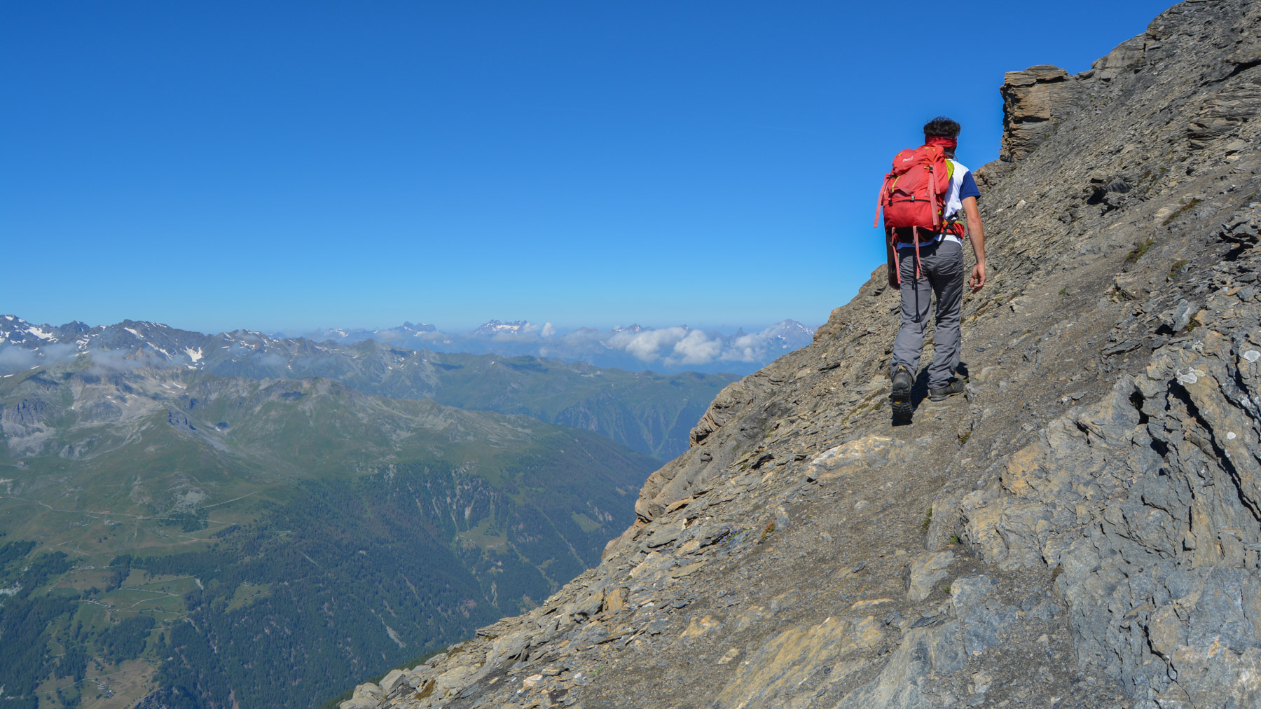
Rather than attacking the ridge directly, descend 50m on the Val d'Hérens side to take the path leading off to the right into the scree (avoiding an exposed de-escalation passage on the ridge). The path crosses then climbs steeply in very short laces to reach the ridge. From here, we more or less follow the ridge on a comfortable path, sometimes flush with the void. It's a steep climb and you can feel it, especially as you pass the 3000m mark fairly quickly. The summit is further away than you can see. We end up on a narrower ridge, with a few easy cracks, to reach the summit. Impressive 360° views!
From the summit, follow the trail in the opposite direction to the Col de Torrent, the Lac des Autannes, the Alpages and the dam.


Leave a Reply