


TOPO Hiking | CLIMBING7.COM
Publié le
 Partager sur WhatsApp
 Partager sur Twitter
Partager sur Instagram
Partager sur Twitter
Partager sur Instagram

 Partager sur Facebook
 Imprimer le topo
 Laisser un commentaire

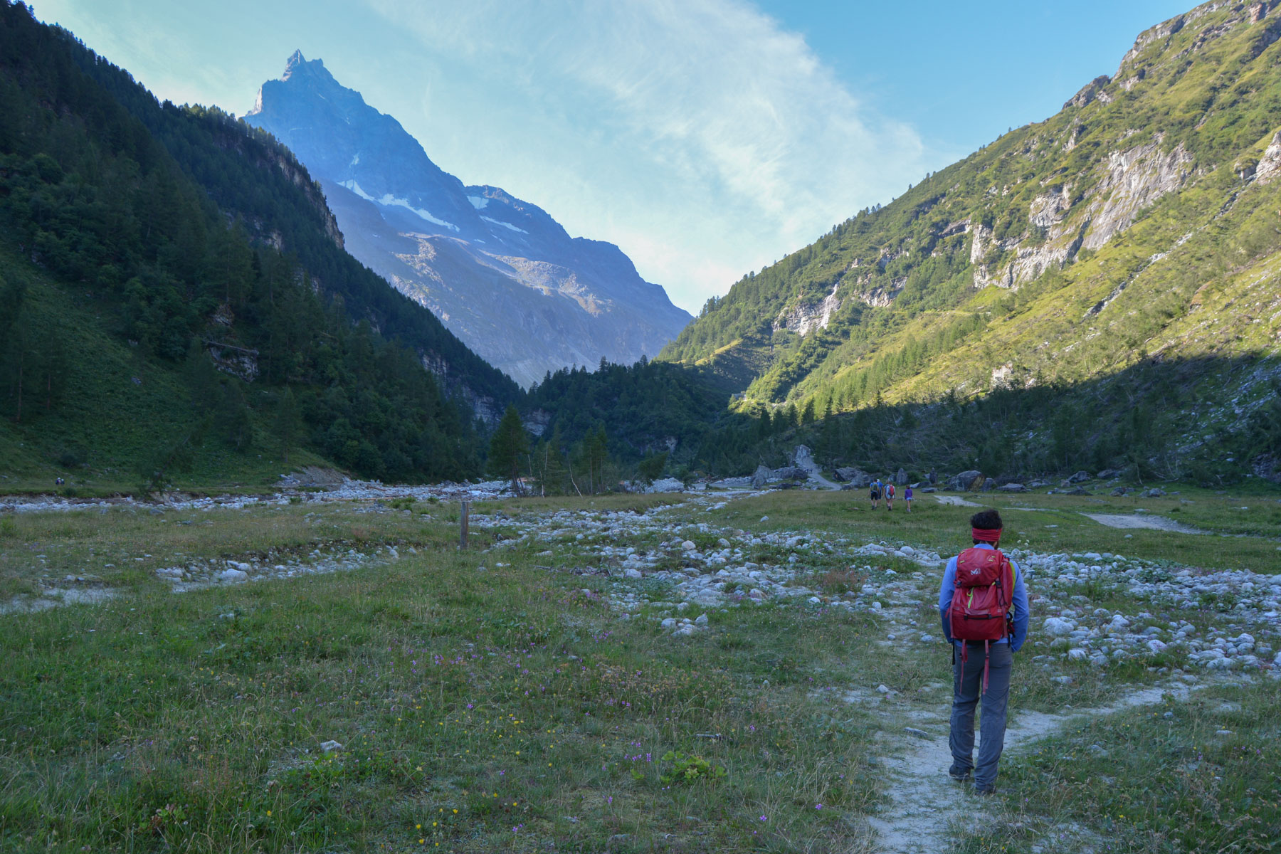
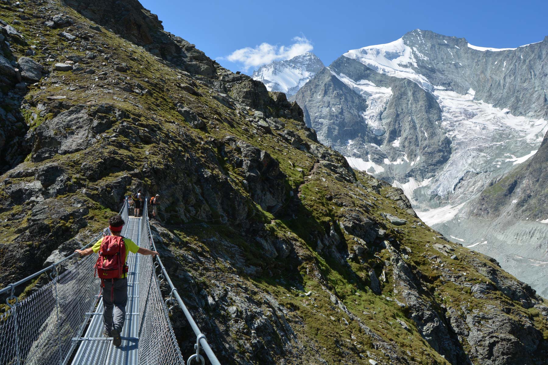
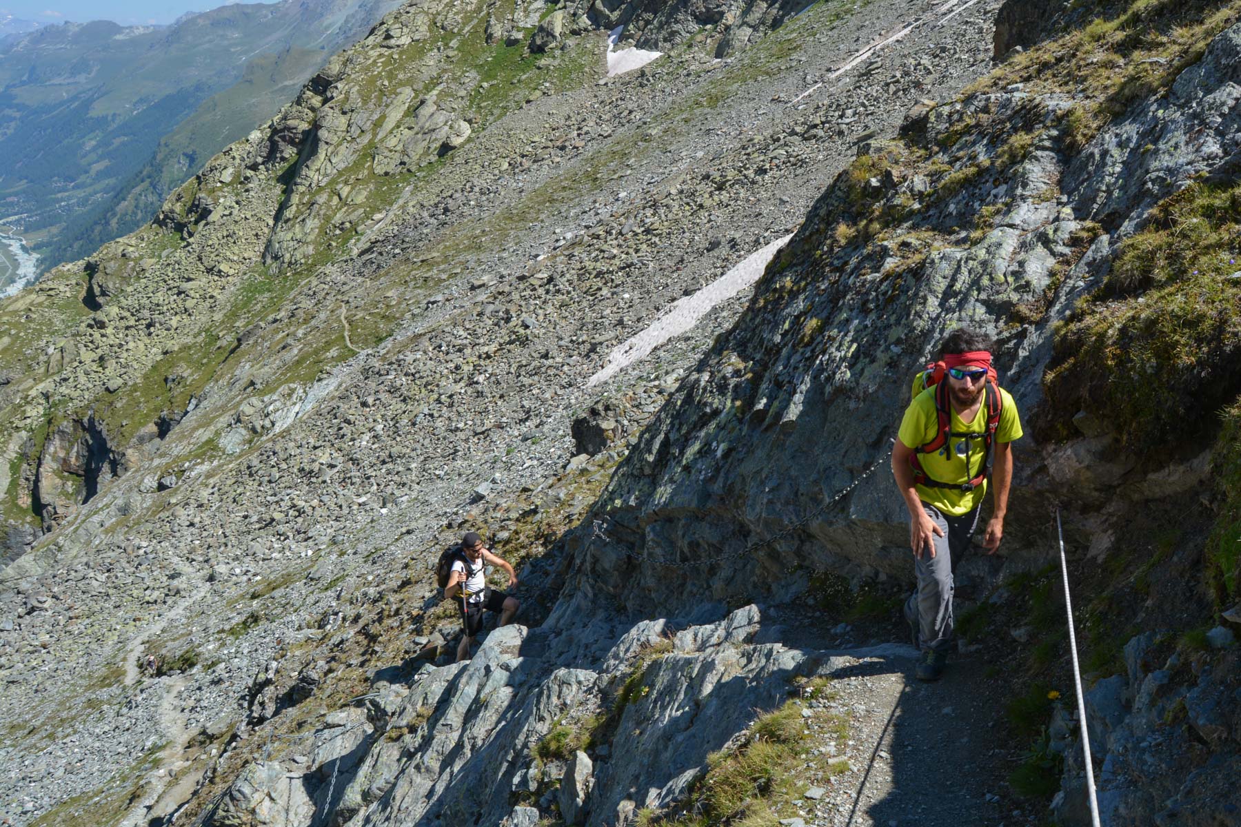
The trek to the Grand Mountet hut takes us up the Val de Zinal to the furthest point possible, without equipment, at almost 3000m, facing the Grand Cornier and Dent Blanche glaciers. The view becomes more and more spectacular, and as you progress upwards, you discover the bed of the Zinal glacier, which has unfortunately been retreating for some time. The climb is a demanding one, with a substantial difference in altitude and steep, equipped sections where you almost have to use your hands. The loop announced in our Rother guidebook, with a return across the glacier and an aerial route on the opposite side to the Petit Mountet hut, is officially closed due to scree damage to the trail. The return trip is therefore compulsory.
❱❱ Technical summary
Type ✦ Hiking
Location ✦ Zinal
Region ✦ Valais
Country ✦ Switzerland
Length ✦ 20kms
Difference in altitude ✦ 1300m
Difficulty ✦ D
Max altitude ✦ 2886m
Duration ✦ 6h30 to 7h
Interest ✦ ★
❱❱ Access to the place
From Sierre on the main road along the Rhône, turn right into the Val d'Anniviers as far as Grimentz, then left into the Val de Zinal. In Zinal, drive through the village and park at the last south parking lot. There's a small bridge to cross the Navisence.
❱❱ Map & topo
❱❱ Itinéraire
From the parking lot, cross the iron bridge and head south on a wide, stabilized track across the large, wide pasture plain bordering the Navisence. It's all flat. At the end, it starts to climb. Start of the trek.
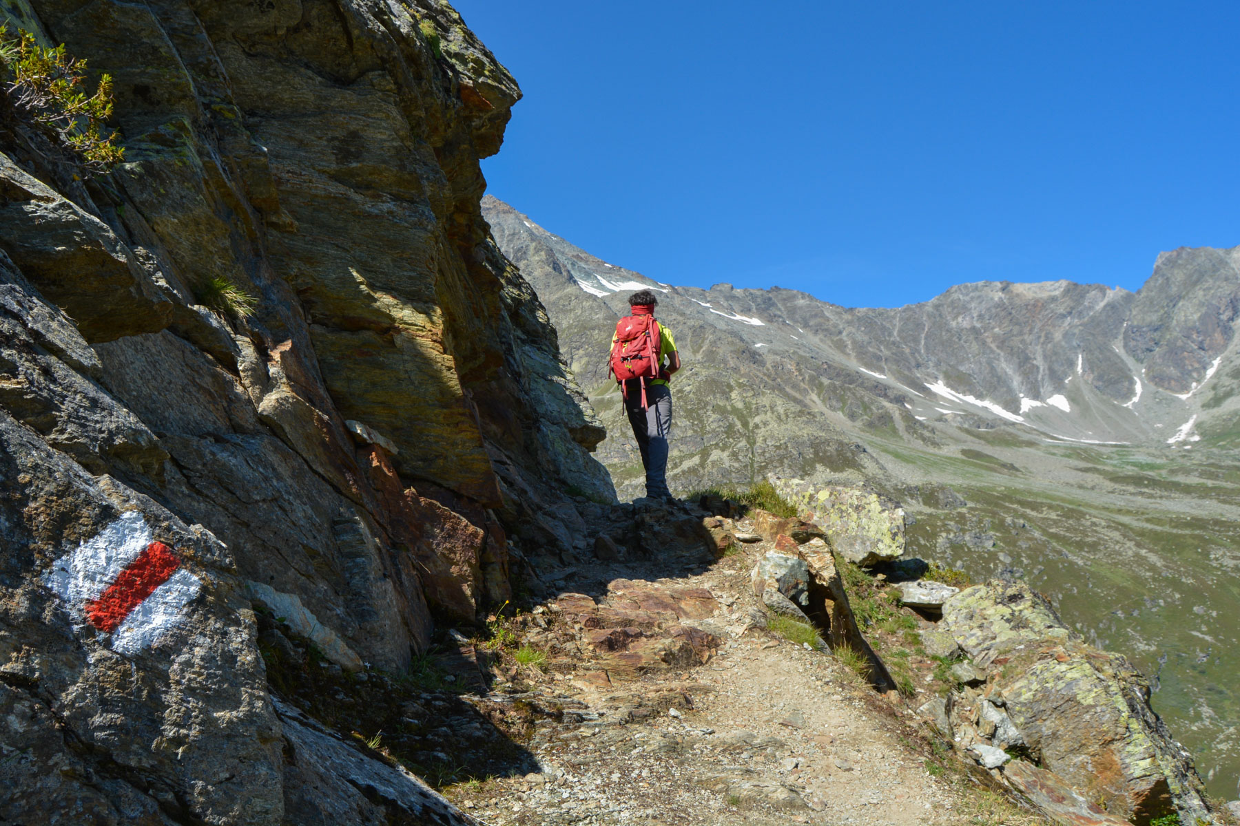
South-facing trek, difficult because of the distance, altitude difference and equipped passages to negotiate. No equipment is required. The most exposed or aerial passages are equipped with chains, and a beautiful suspension bridge allows you to cross a gorge along the way. The route is very well marked in red and white, with an apparently recent modification to the ascent halfway up.
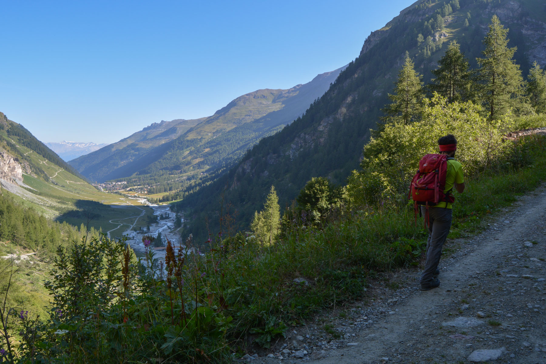
The track climbs and after several switchbacks reaches the small Vichiesso refuge. Continue on the same road down to the brand-new wooden bridge over the Navisence. On the opposite side of the river, the path leads off to the left or right. Turn right towards Grand Mountet.
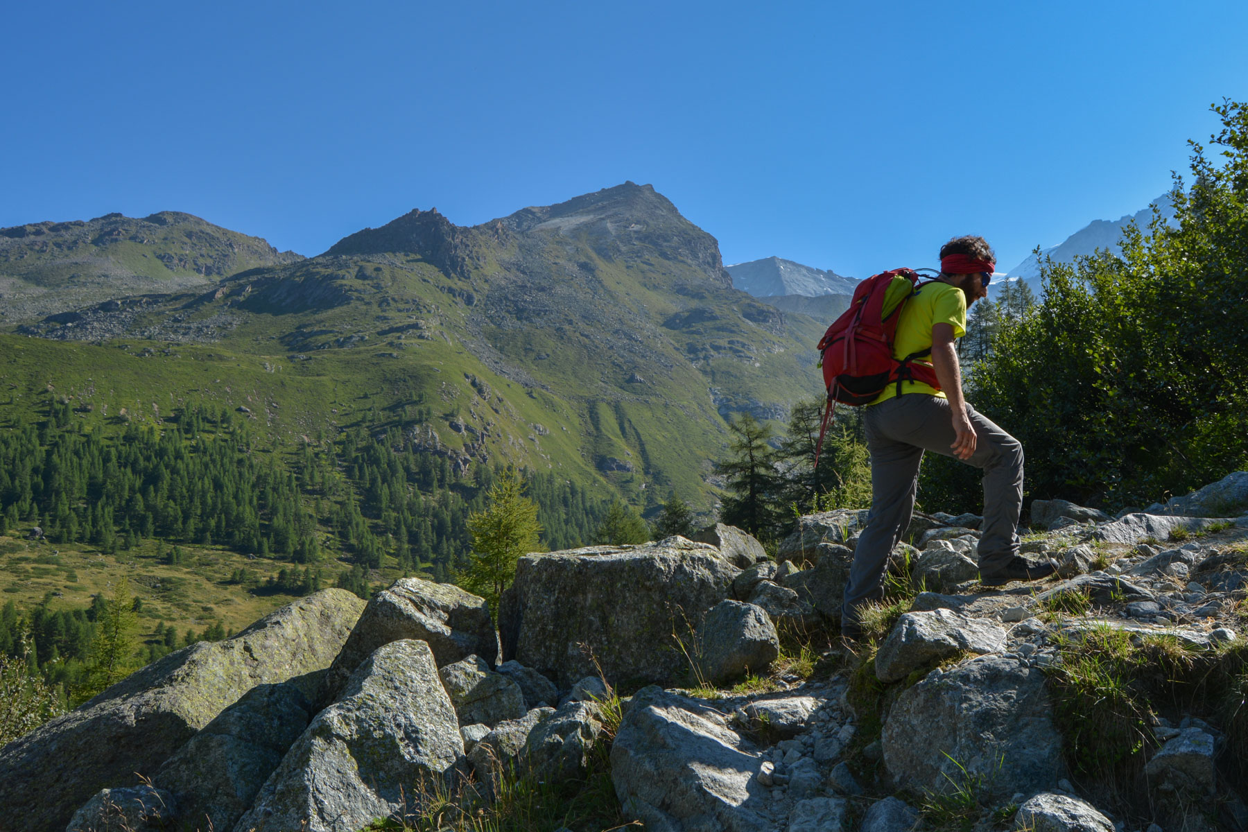
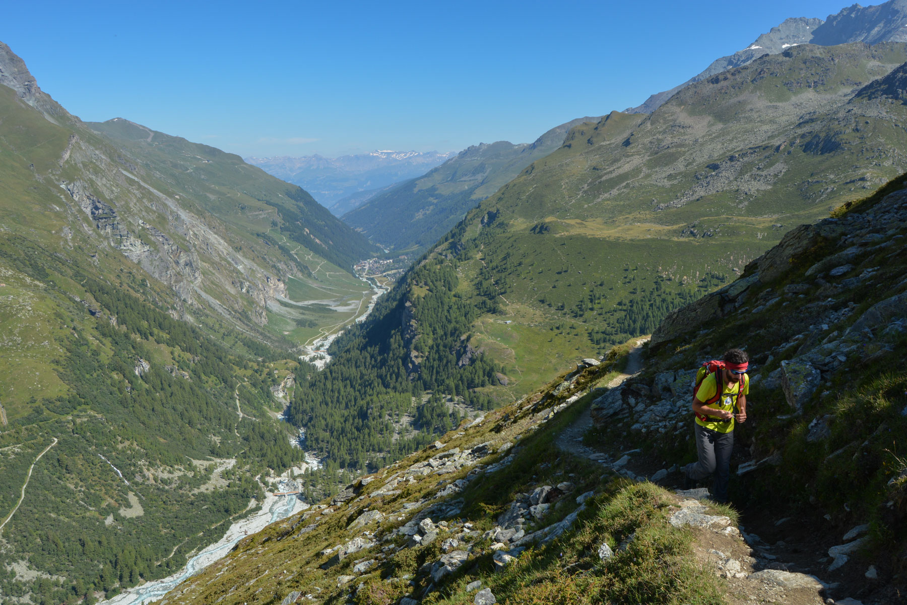
The path quickly twists and turns up through the woods, then over open ground on a pretty little ridge. The trail then twists and turns again, climbing quite steeply. At the same time, the trail climbs towards the bottom of the valley. Much higher up, the path climbs a little less and follows the mountain side, following its contours. You then pass a small overhang with a wooden cross. The path then descends and rises again to reach the suspension bridge. We continue to climb steadily, crossing small torrents flowing down from the summits, before reaching the final, very steep section.
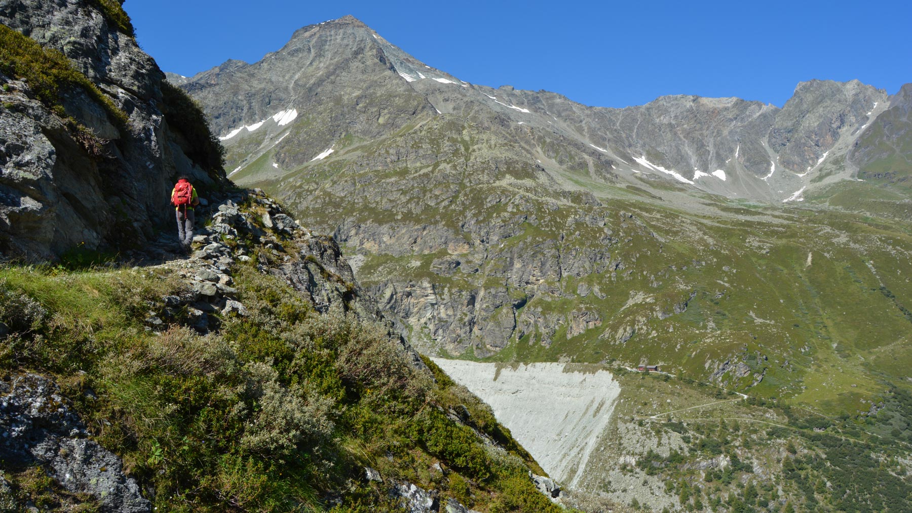
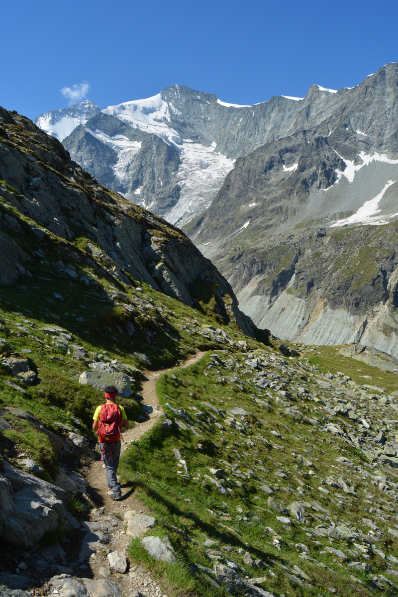
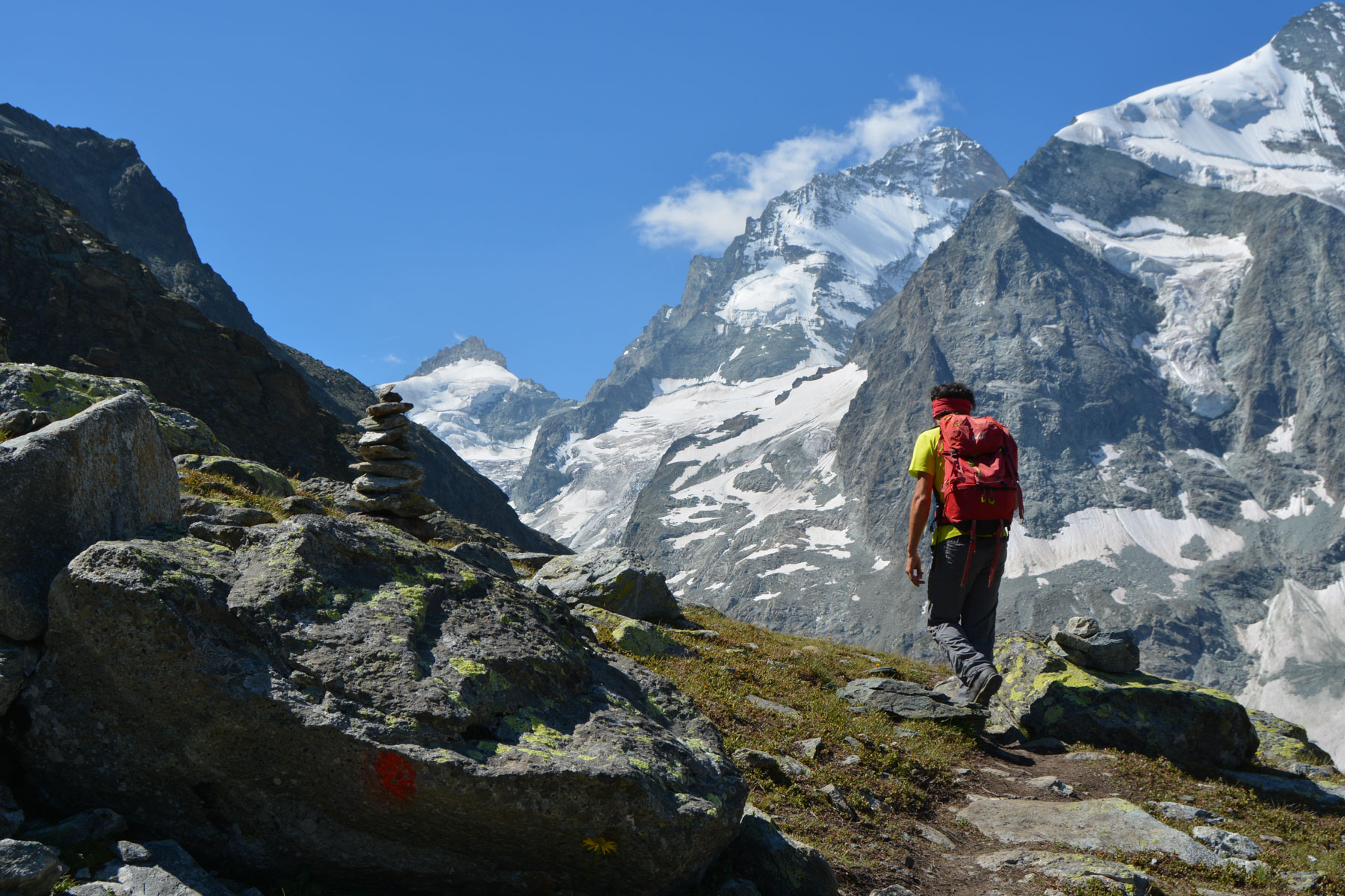
The trail climbs very steeply, and this whole section is equipped with chains and, in places, wooden steps. It's not difficult, but it's quite aerial and quite physical! Then we pass the shoulder to discover the glacier and the snowy cirque of 4000m. We still have to cross a large stone field, climb a little further and finally catch sight of the Grand Mountet refuge chalet, which we reach fairly quickly.
The same route as the approach in reverse.


Leave a Reply