


TOPO Via ferrata | CLIMBING7.COM
Publié le
 Partager sur WhatsApp
 Partager sur Twitter
Partager sur Instagram
Partager sur Twitter
Partager sur Instagram

 Partager sur Facebook
 Imprimer le topo
 Laisser un commentaire

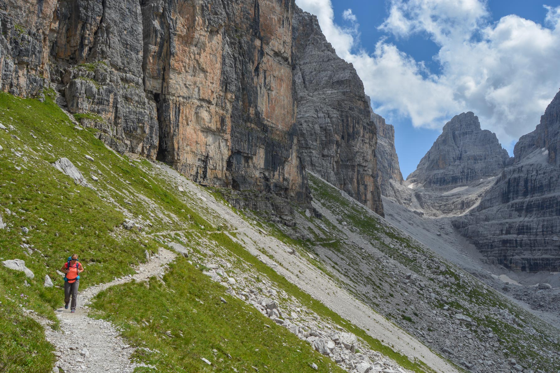
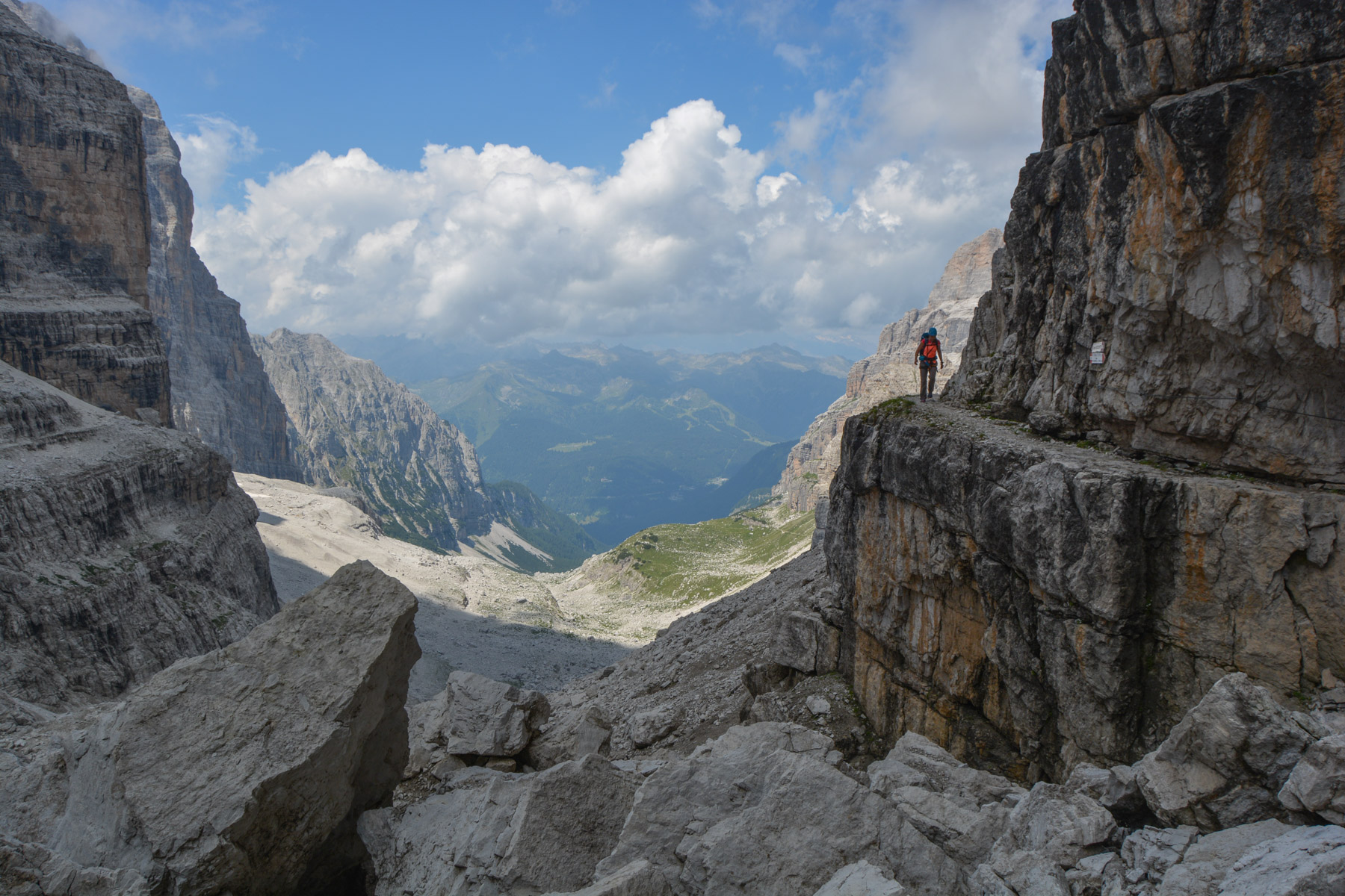
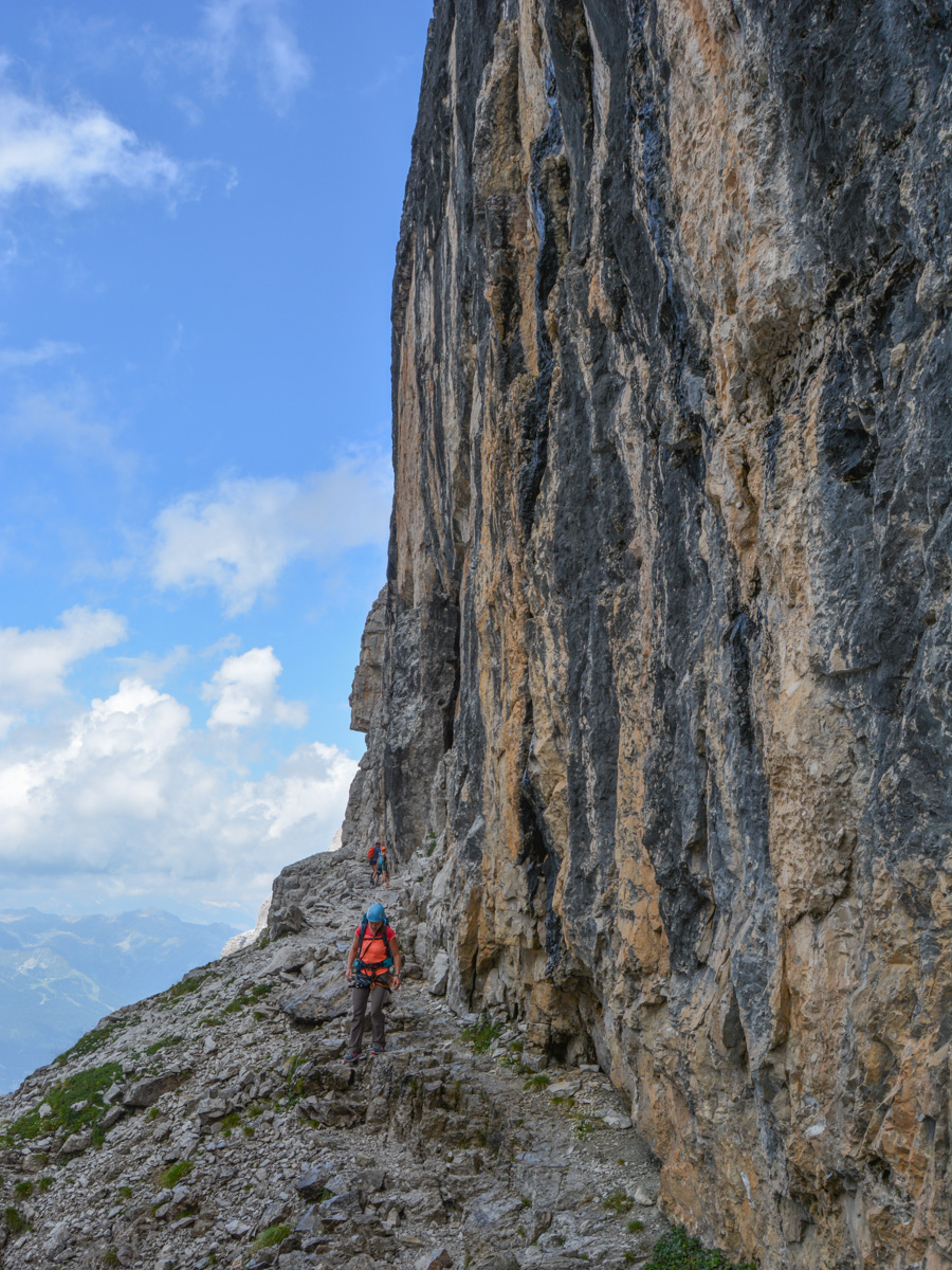
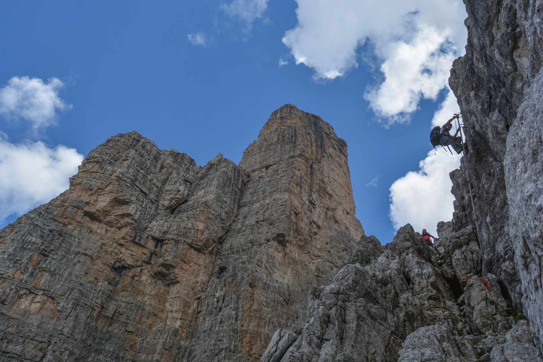
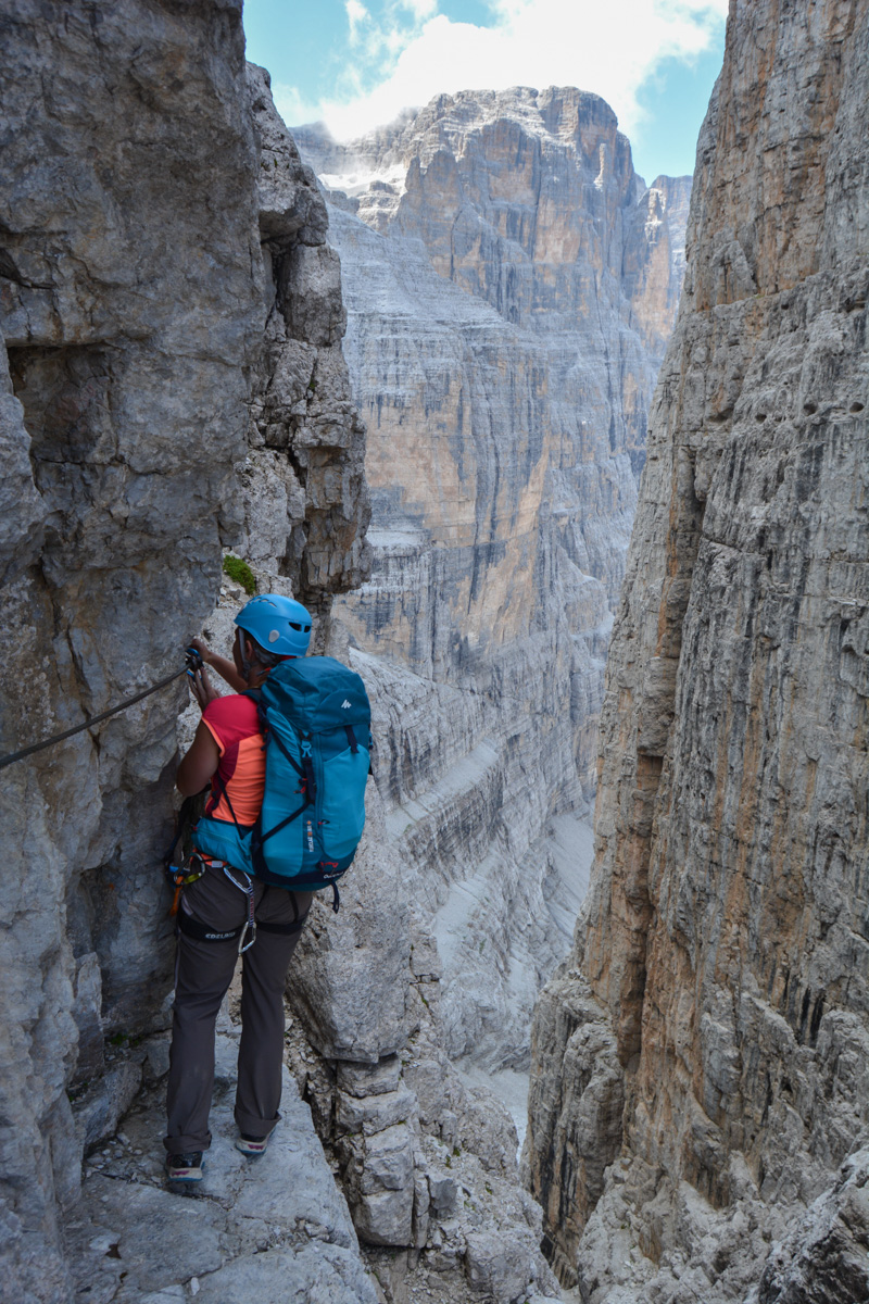
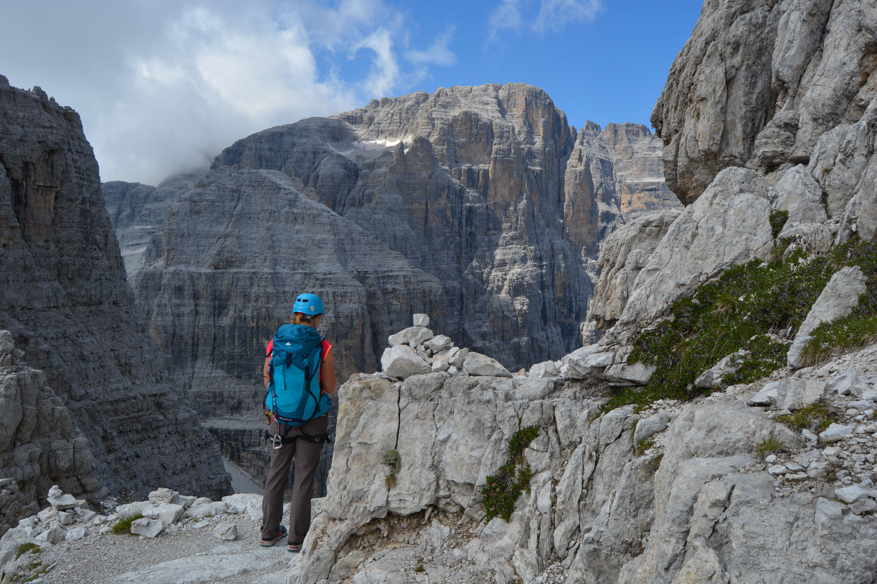
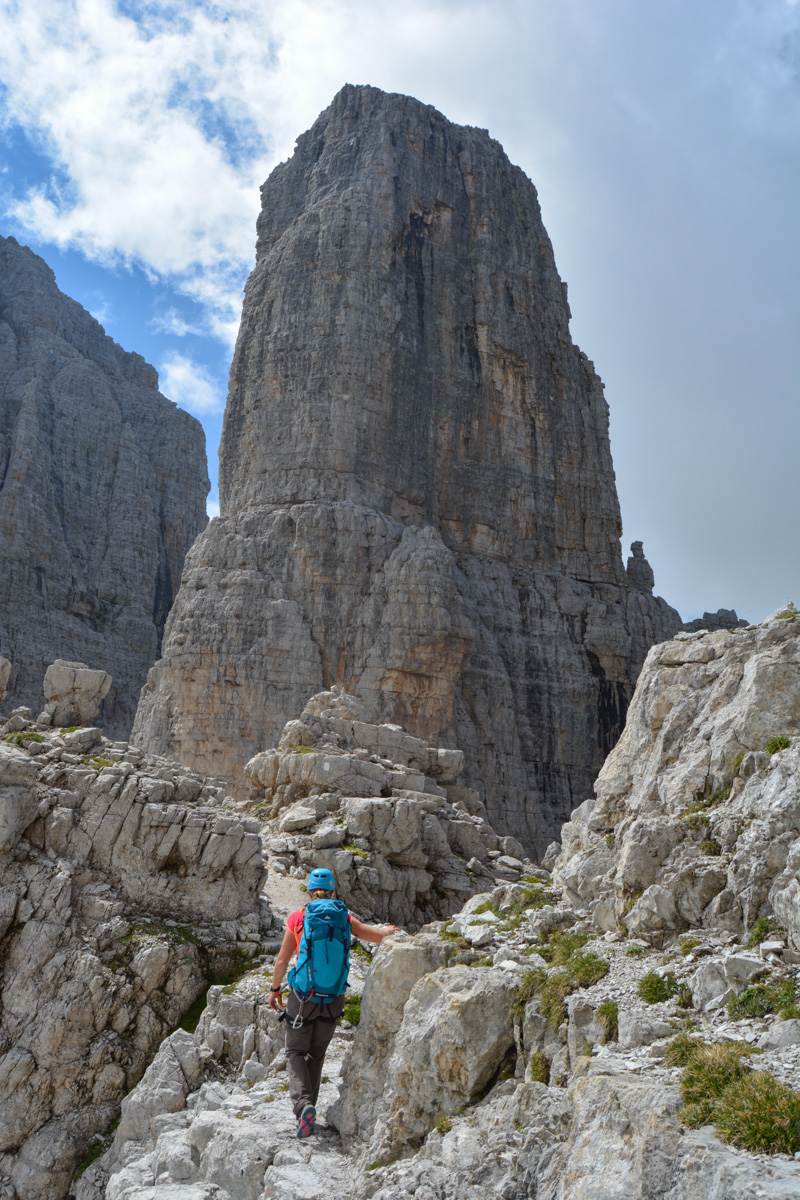
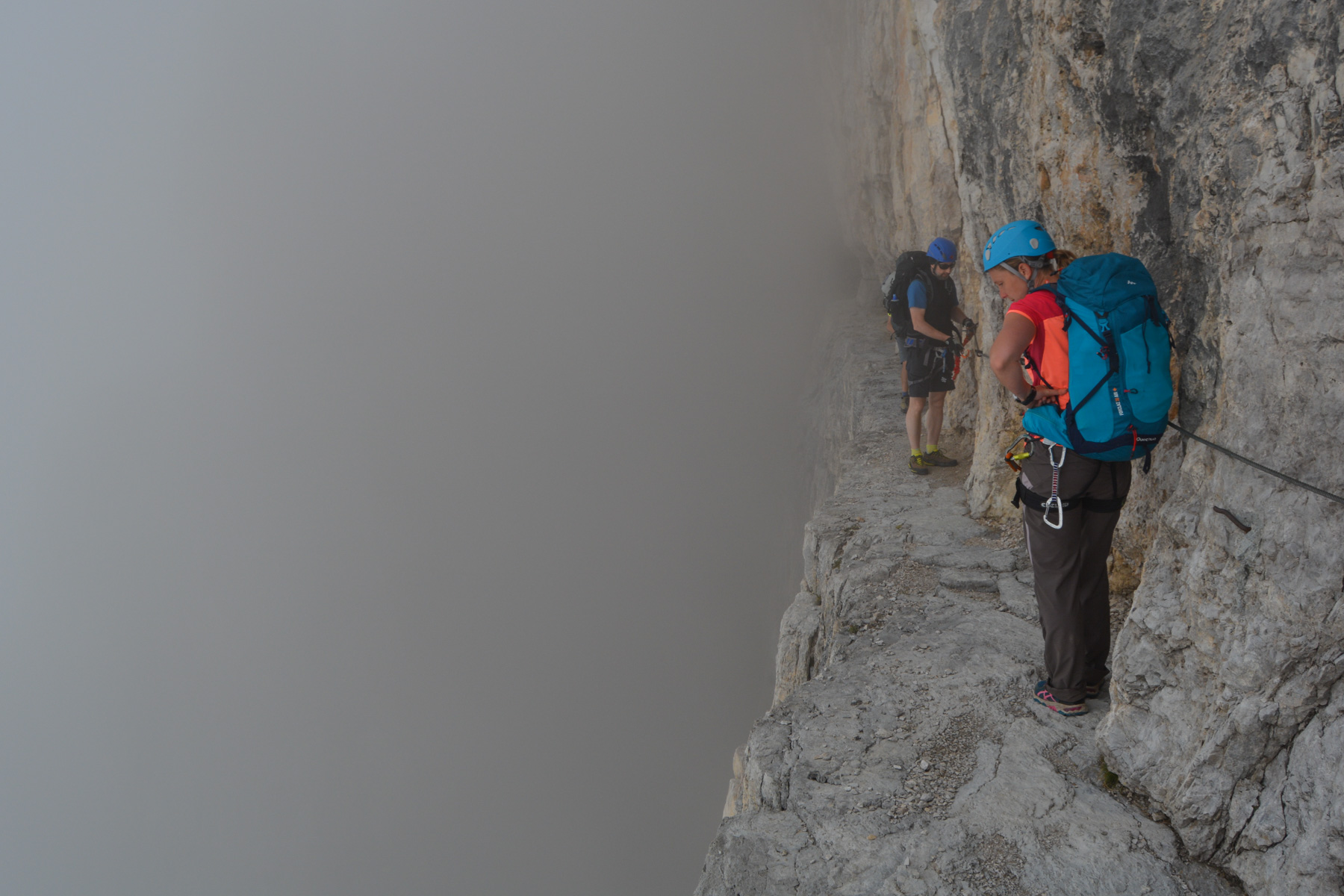
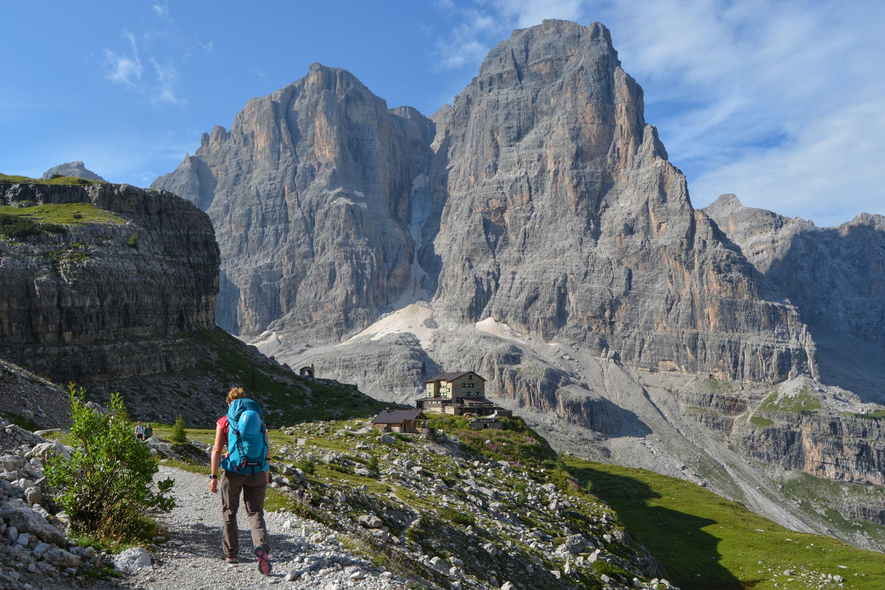
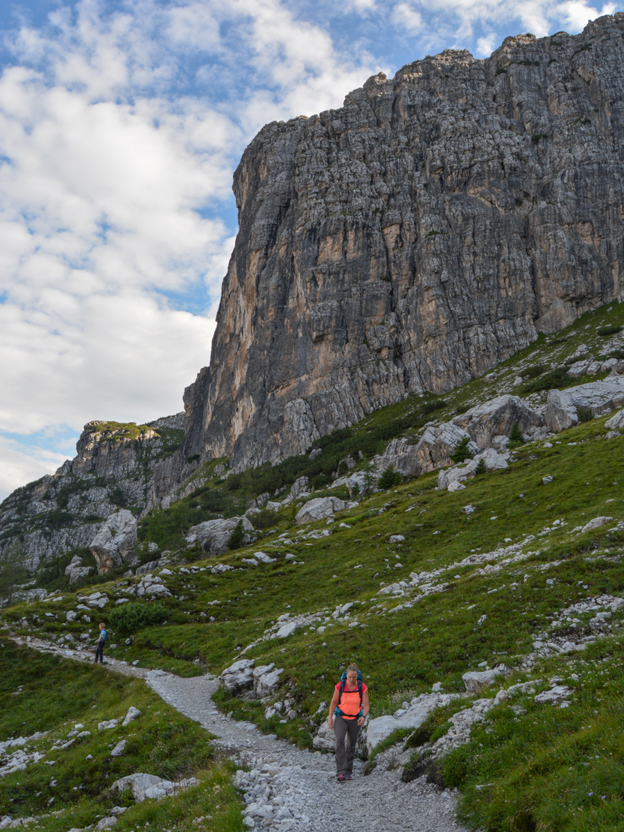
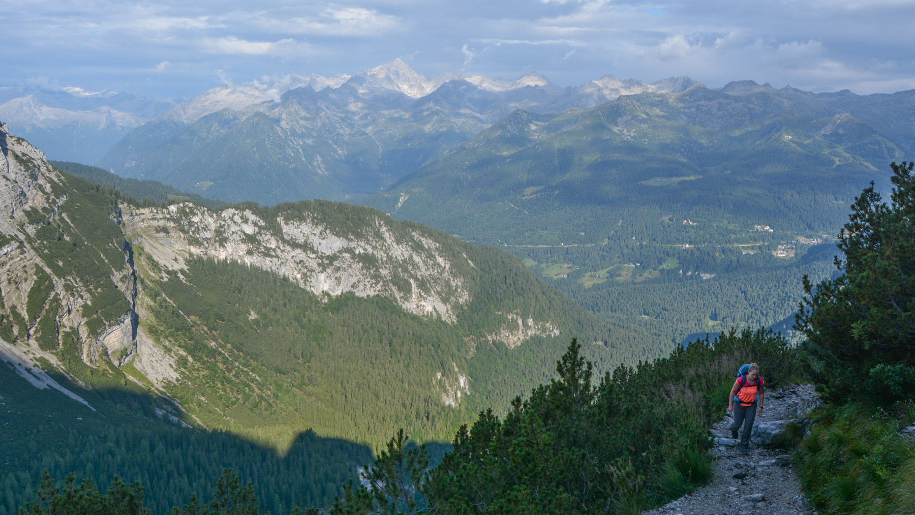
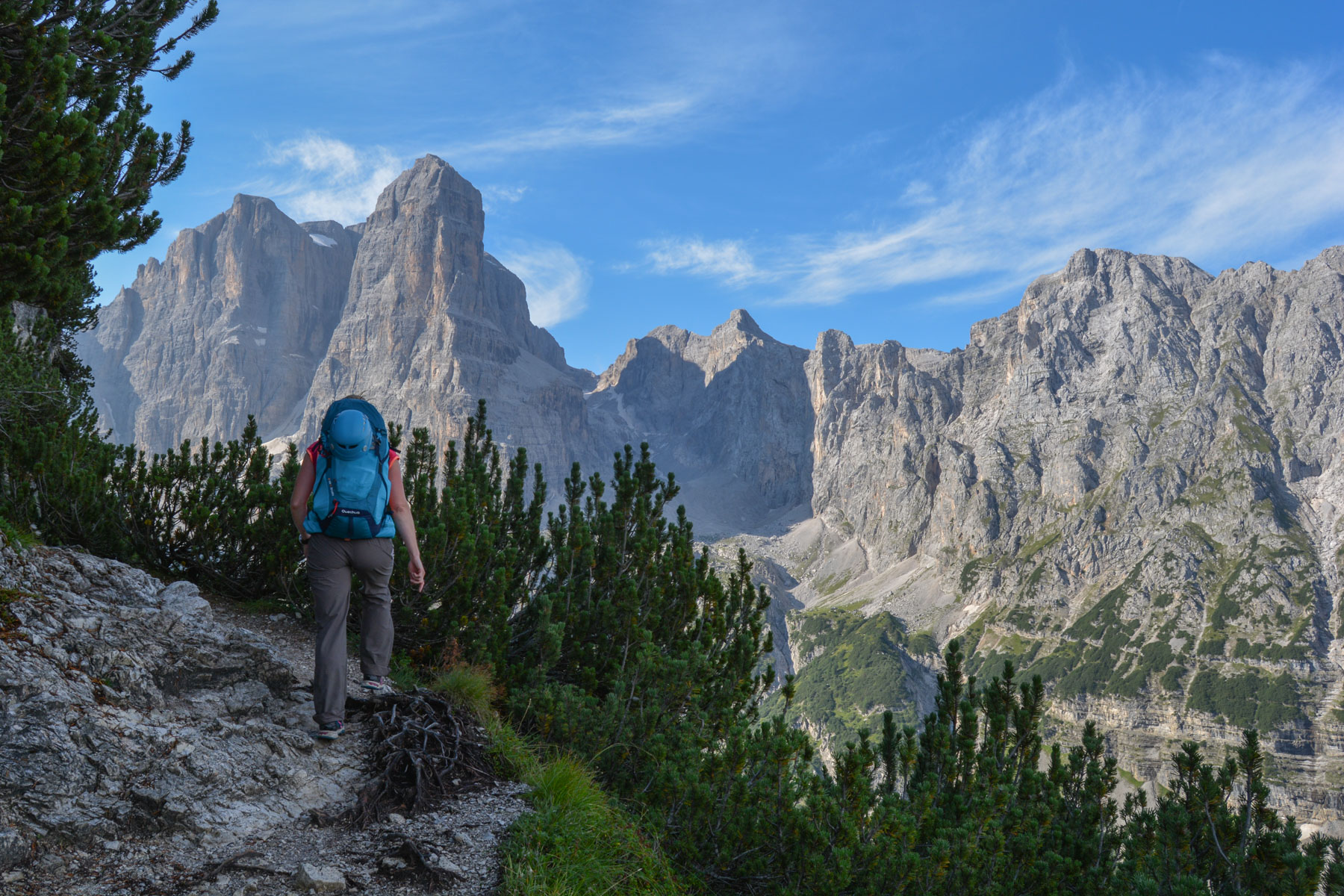
The southern part of the Via delle Bocchette is absolutely magical! From Vallesinella, if you don't sleep in a refuge, you'll climb over 1,200m to reach the crest of the Brenta massif and follow the Sentiero Figari from the Bocca degli Armi at 2,749m. It's a continuous spectacle from start to finish, with no waste and incredible views of the Brenta massif. The via ferrata is not really difficult, apart from the height and narrowness of the overhead ledges. A varied, spectacular high-mountain itinerary, probably one of the most beautiful in the Dolomites. The loop from Vasinella is described here, with a large section of trekking up and down the ridges.
❱❱ Technical summary
Type ✦ Via Ferrata
Location ✦ Madonna di Campiglio
Region ✦ Dolomites
Country ✦ Italy
Length ✦ 24kms
Vertical rise ✦ 1490m
Difficulty ✦ K2
Duration ✦ 6h to 7h
Interest ✦ ★★★
❱❱ Access to the place
Go to the Vasinella parking lot, which can be reached from Madonna di Campiglio by car (access 6 euros before 9 a.m.) or by bus (2 euros).
❱❱ Map & topo

❱❱ Itinéraire
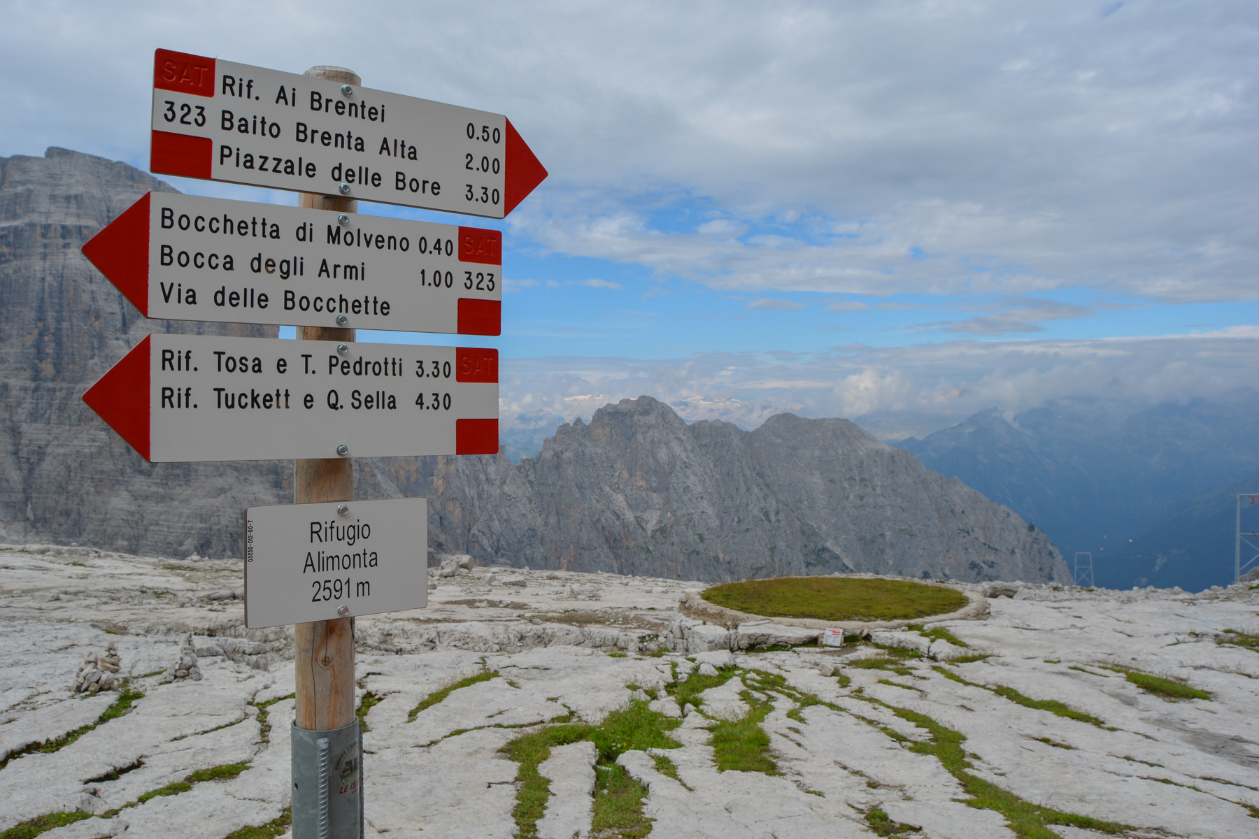
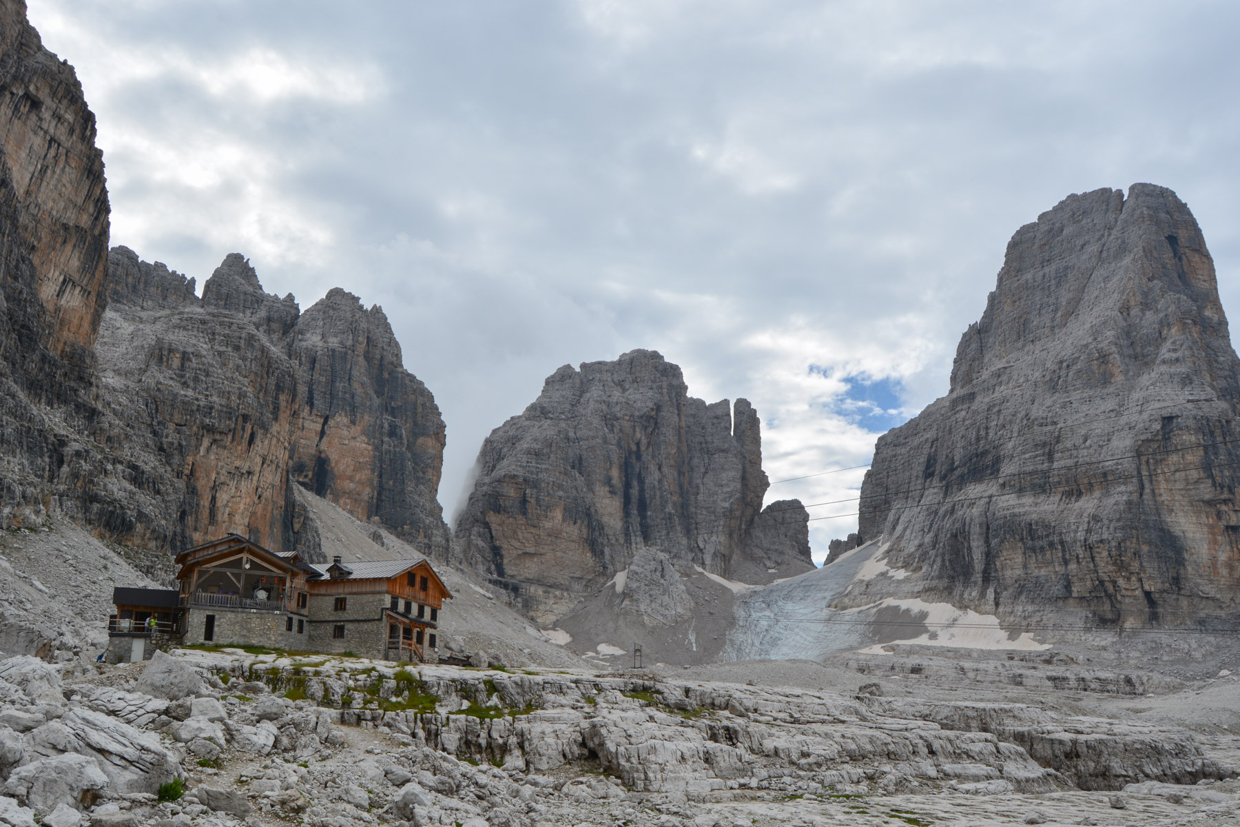
Take the path leading to the Brentei refuge. Cross the torrent and climb steeply through the forest. After about 30', you'll reach the Casinei hut at 1850m, where you'll find the start of the trail to the Brentei and Alimonta huts.
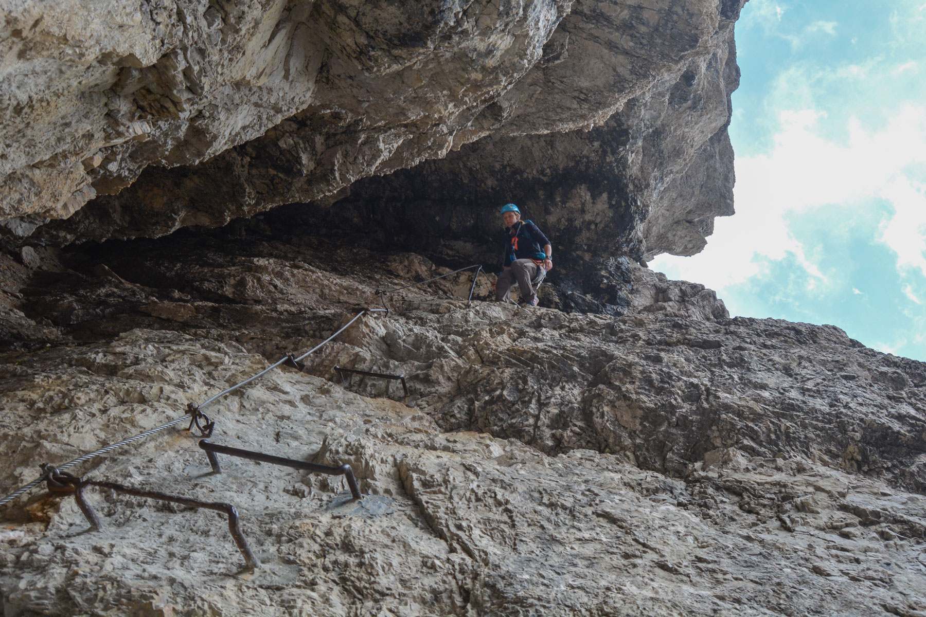
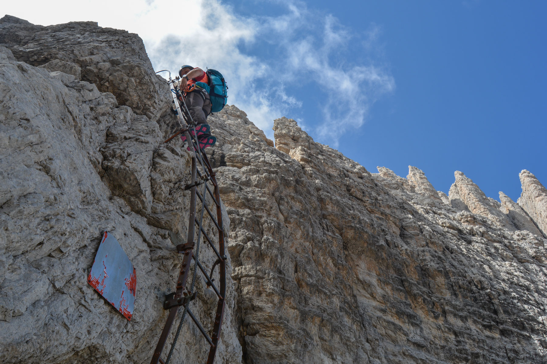
The via ferrata is perfectly equipped and signposted. It's best to start early, as the mist rises quickly, particularly on the west side in mid-morning. There's no particular difficulty, apart from the altitude and the emptiness, which you'll encounter almost the whole way. Equipment is mostly limited to a lifeline and a few very sturdy ladders, or rungs in places that are difficult to climb or unclimb.
From the Brentei refuge, follow the uphill path in the opposite direction to the Casinei refuge and then to the Vallesinella parking lot (car or shuttle bus to Madonna di Campiglio).


Leave a Reply