


TOPO Ski Touring | CLIMBING7.COM
Publié le
 Partager sur WhatsApp
 Partager sur Twitter
Partager sur Instagram
Partager sur Twitter
Partager sur Instagram

 Partager sur Facebook
 Imprimer le topo
 Laisser un commentaire

First outing of the season and first ski touring post on the site! Starting from the Col de Puymorens at 1915m, in search of this winter's scarce snow, the route climbs north-east up the En Garcie valley to reach the Porteille d'En Garcie, opposite Puig Pedros and Puig de la Couma d'Or at over 2800m. There's then a fine descent northwards into a wide combe that leads down to the étang des Bésines, before retracing your steps and gliding into the finishing valley facing the Andorran peaks on the west side. A fairly steep climb with splendid views, which can be completed by climbing Puig de la Couma d'Or.
❱❱ Technical summary
Type ✦ Ski touring
Location ✦ Col de Puymorens
Region ✦ Ariège
Country ✦ France
Direction ✦
Length ✦ 15.9kms
Vertical drop ✦ 1150m
Max altitude ✦ 2534m
Difficulty ✦ R-2.3-E1
Duration ✦ 3h to 4h
Interest ✦ ★
❱❱ Access to the place
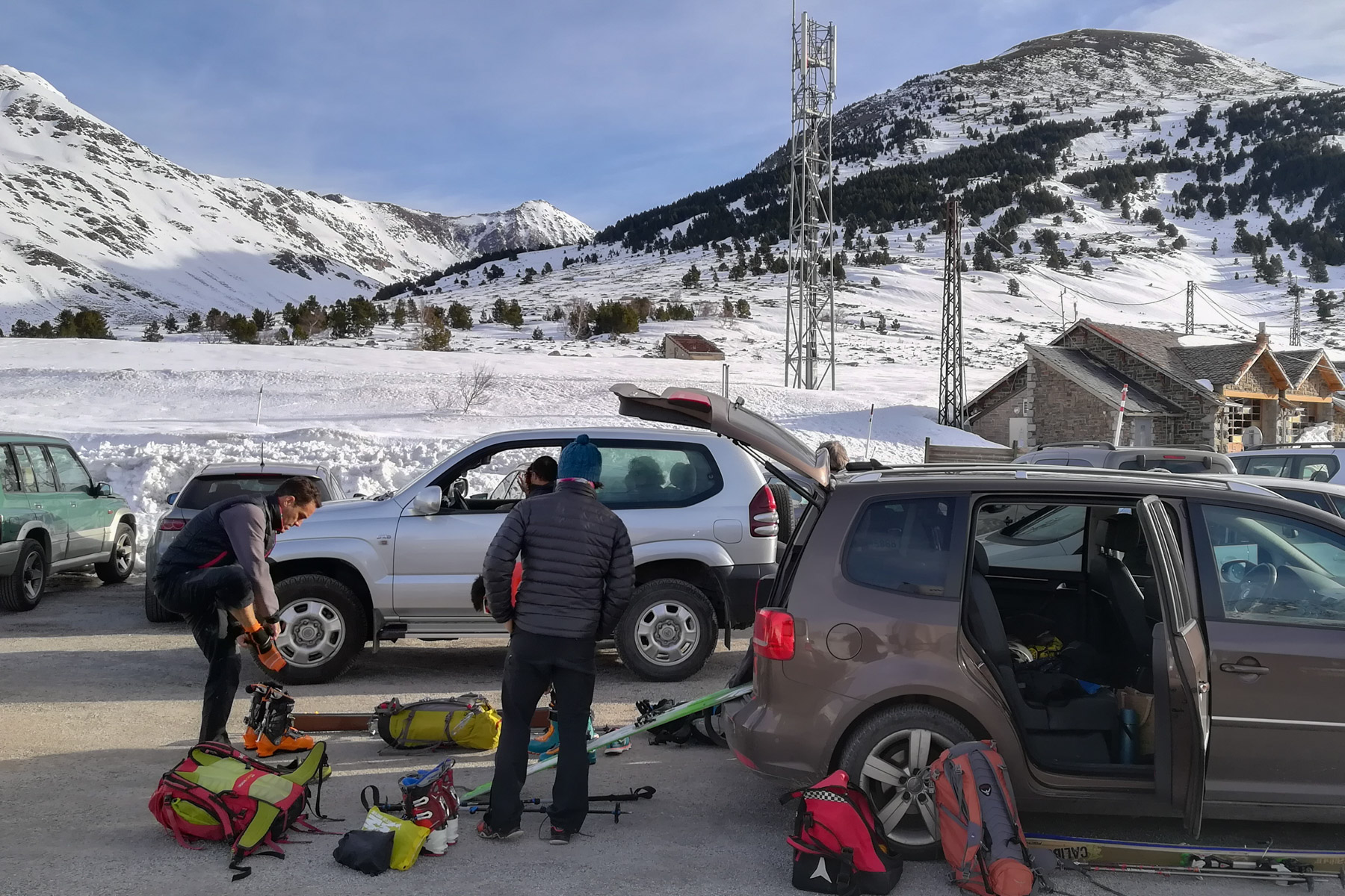
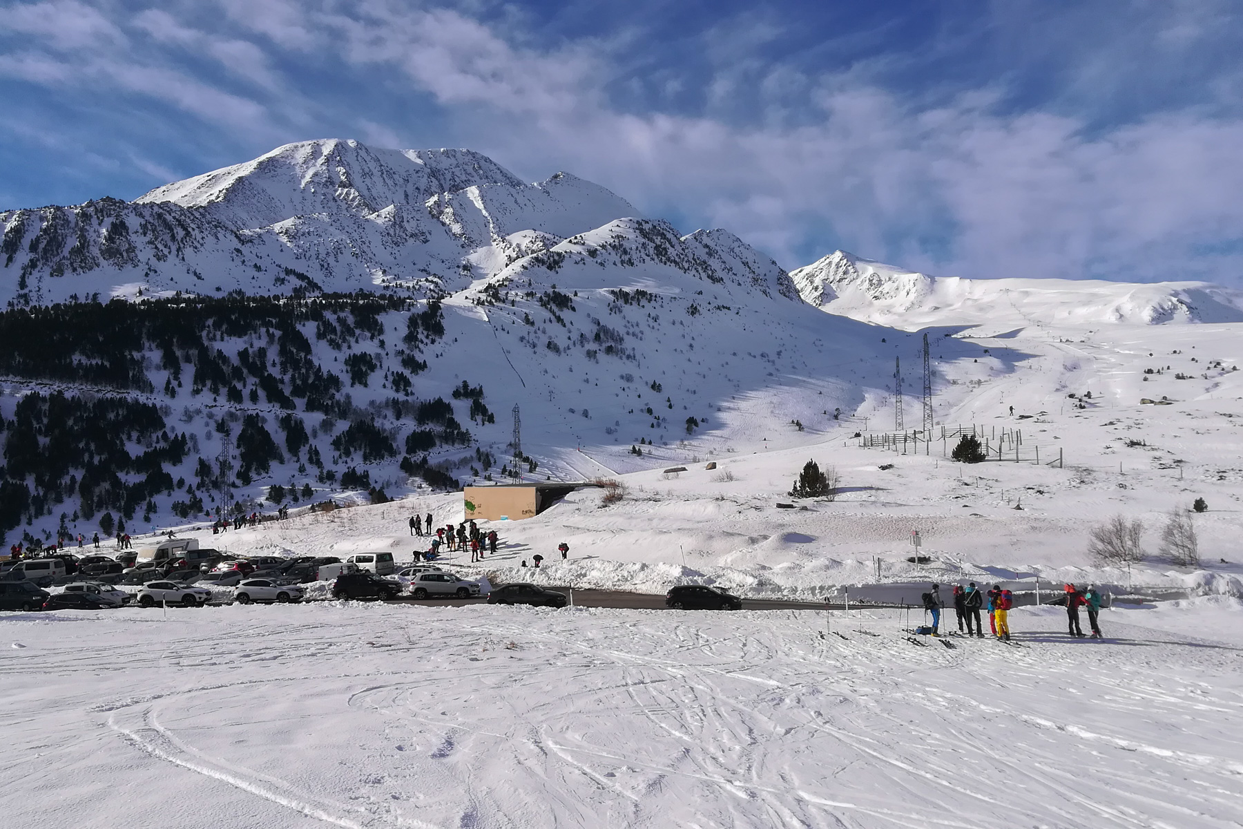
The start/finish parking lot is exactly at the Col de Puymorens at 1915m on the N20 which climbs from Ax-les-Thermes to Cerdagne, without taking the Puymorens tunnel and just before entering Andorra.
❱❱ Map & topo
❱❱ Itinéraire
On the other side of the N20, heading northeast. The valley is obvious.
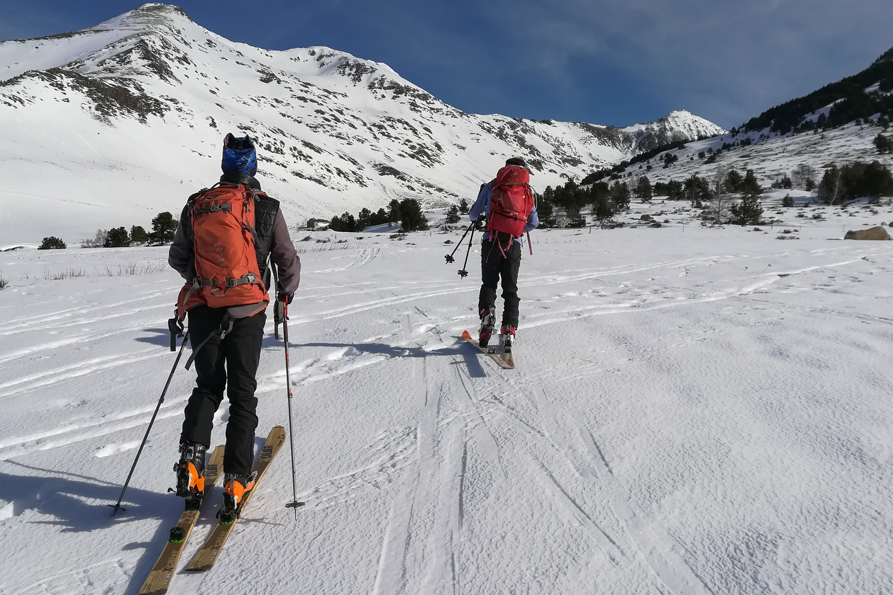
It's a round trip with 2 times around 600m of ascent and descent, long and gradual in the starting valley, shorter and steeper on the way up from the étang des Bésines. No difficult sections, but a few steep ones which can be a little tricky on icy days like today. Easy, clear descent.
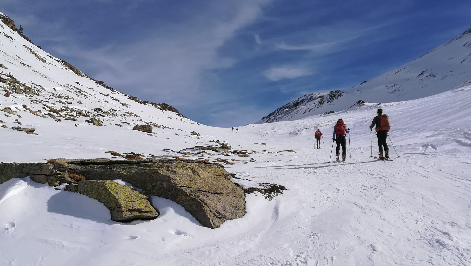
Climb up the valley, which forms a long, wide couloir, staying on the right-hand side, on the south side, without crossing the bed of the central torrent. It rises very gradually, eventually crossing over to the north and continuing gently upwards until you reach a small, steeper narrowing that leads to a new, very wide, slightly hollow flat, the top of the valley. Cross this and head left for the steeper, winding section leading to the pass at 2534m. From here, Puig Pedros and Puig de la Couma d'Or are clearly visible.
Descend a 1st slope to the north, then follow the valley with a few squeezes, flats and other small walls. The skiing area is wide and easy. Further down, you reach the forest, which you have to cross to reach the top of the Bésines pond, close to the refuge.
The climb back up is less obvious and more physical. To get out of the forest and regain altitude, before returning to the flats above. A few shorter, steeper passages before you find yourself below Porteille. Then there's the last slope to climb, with overhanging traverses that are not easy on icy surfaces.
The return descent glides through the middle of the wide valley on a gentle overall slope, except for a narrow corridor between rocks. Below, the slope is less steep, requiring direct tracks to continue gliding. The view of the Andorran peaks is splendid. Once you've crossed the torrent bed again, on the south side, keep fairly high between a few fir trees. We finish by pushing a little on the poles to get back to the starting parking lot.


Leave a Reply