


TOPO Ski Touring | CLIMBING7.COM
Publié le
 Partager sur WhatsApp
 Partager sur Twitter
Partager sur Instagram
Partager sur Twitter
Partager sur Instagram

 Partager sur Facebook
 Imprimer le topo
 Laisser un commentaire

First outing in the Queyras in the Valpréveyre valley, on the edge of the Italian border. An easy ascent to the Col de Valpréveyre at 2725m, to the right of the Bric Bouchet (2997m) which marks the border with Italy. Facing south-west, the unseasonably light snow didn't really show up, but was soon transformed. The wide valley offers a number of easy options for returning to the foot of the cirque.
❱❱ Technical summary
Type ✦ Ski touring
Location ✦ Abriès
Region ✦ Queyras, Southern Alps
Country ✦ France
Direction ✦ Southwest
Length ✦ 7.9kms
Vertical drop ✦ 1045m
Max altitude ✦ 2725m
Difficulty ✦ R-2.1-E1
Duration ✦ 3h30 to 4h
Interest ✦ ★
❱❱ Access to the place
North of Abriès, drive up to the hamlet of Le Roux. Before reaching the village, park in the 1st bend after crossing the Bouchet torrent, at the resort shuttle bus parking area. There's an end to the trail that comes to this point. This is the starting point for the approach.
❱❱ Map & topo
❱❱ Itinéraire
Head up the ski slope which follows a snow-covered track to reach the snow-covered road leading to the hamlet of Valpréveyre at 1850m.
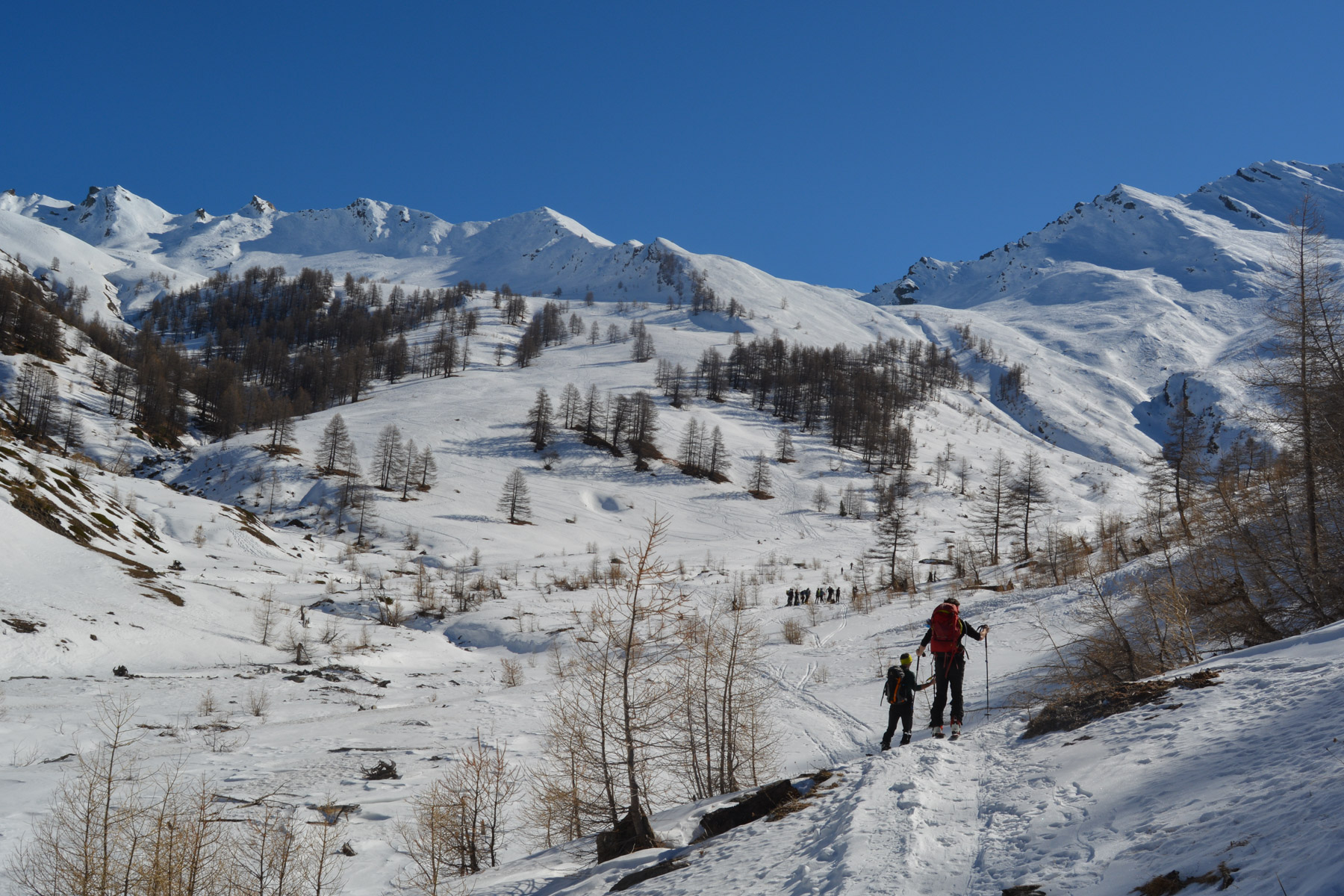
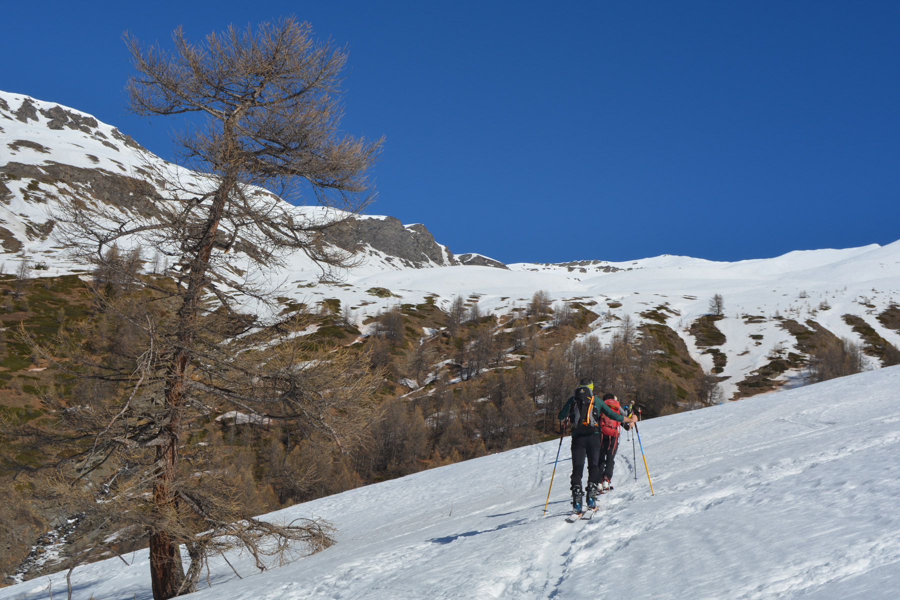
The route heads due east towards the Italian border on the heights of the large, wide cirque that opens up a little higher up. The gradient is reasonable, but quite physical at the end. The slopes are generally exposed west and south.
Continue past the hamlet into the valley on the left, staying on the right flank of the torrent. The path climbs further into the forest to thread its way up the torrent until it reaches the entrance and foot of the large cirque, the starting points for the various itineraries.
Climb up to the center of the cirque, then turn northeast to aim for the recognizable Bric Bouchet peak. Wind up to reach a flat area above. Continue without climbing to Col Bouchet (which we did, but the final traverse to Col Valpréveyre proved tricky...) but rather aim for the small couloir further to the left. Cross the gully and continue towards the obvious col on the left of Bric Bouchet. From here, a view of the valley on the Italian side.
We're looking at a nice descent of almost 1000m, not too steep, with a few options depending on snow conditions. The small central couloir then a chuss to get out of the flat part without pushing on the poles. Below, a few more good slopes to reach the foot of the cirque.
Follow the trail in the opposite direction through the forest, then from Valpréveyre by the road and then the ski slope to the parking lot. Not much speed, but you're sliding most of the way...


Leave a Reply