


TOPO Hiking | CLIMBING7.COM
Publié le
 Partager sur WhatsApp
 Partager sur Twitter
Partager sur Instagram
Partager sur Twitter
Partager sur Instagram

 Partager sur Facebook
 Imprimer le topo
 Laisser un commentaire

Back to the little Atlas jewel: the Taghia cirque. The climb up the western valley offers impressive new views of the area, before switching to the next valley, no less beautiful, with the magnificent Berber village of Toughed. A nice loop to discover the area from Taghia.
❱❱ Technical summary
Type ✦ Hiking
Location ✦ Taghia, Zaouia Ahansal
Region ✦ High Atlas
Country ✦ Morocco
Length ✦ 17kms
Difference in altitude ✦ 800m
Difficulty ✦ MD
Max altitude ✦ 2410m
Duration ✦ 4h to 5h
Interest ✦ ★★
❱❱ Access to the place
Further east than the Aït Bougmez valley, in the center of the High Atlas, is the village of Zaouia Ahansal, which means Brotherhood (Zaouia), Ahansal being the name of its founder 700 years ago. Cross the small bridge to Agoudim. Continue on the track that dips down towards Taghia for 2 or 3 km before parking at the hamlet where the pink mosque is located.
❱❱ Map & topo
❱❱ Itinéraire
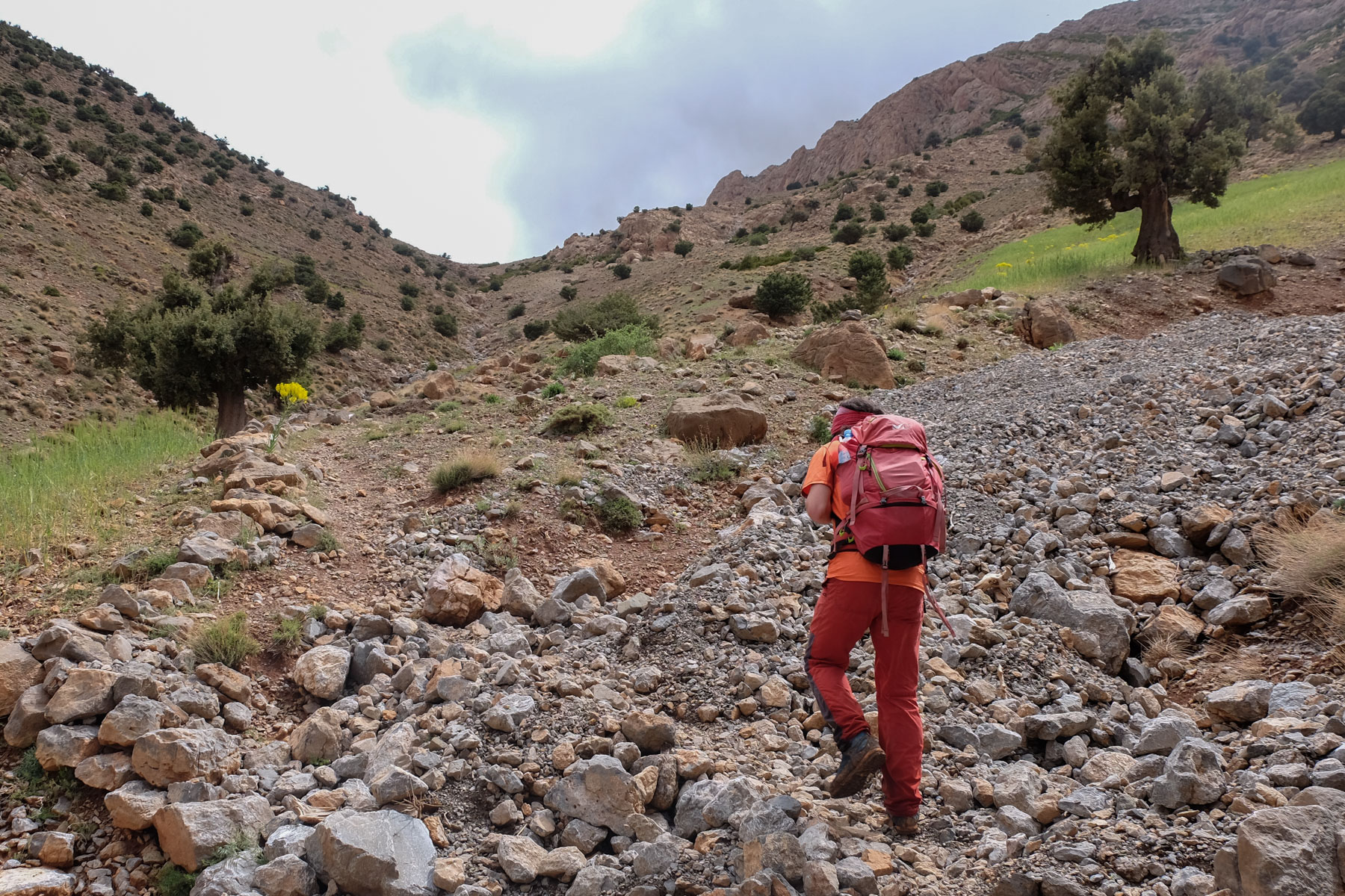
The aim is to reach the village of Taghia. From the parking lot, continue along the track for a while, and at the bend that rises to the left, descend along a path that crosses the torrent and takes you straight up to the main valley, at the head of the torrent (currently being turned into a road...). Further on, at the Akka n'Tazaghte canyon exit, follow the path to the left into the gorge. The path finally narrows and you cross the torrent to continue towards Taghia. You can see the large walls and the cirque gradually unfolds. Shortly before reaching Taghia, cross the torrent again and end up at the concrete bridge at the entrance to Taghia.
The loop passes through the village of Taghia before returning via the pass to the west of the cirque, passing under the village of Toughed. This itinerary can be done in the opposite direction, perhaps even ideally, as the descent from the pass would allow you to have the Taghia cirque in view at all times. Between Taghia and Toughed, the trail is marked with white dots and arrows in places. To descend the gorge from Toughed, there's another trail along the torrent below. It offers less of a view of the valley, but passes through the villages and avoids the return track.
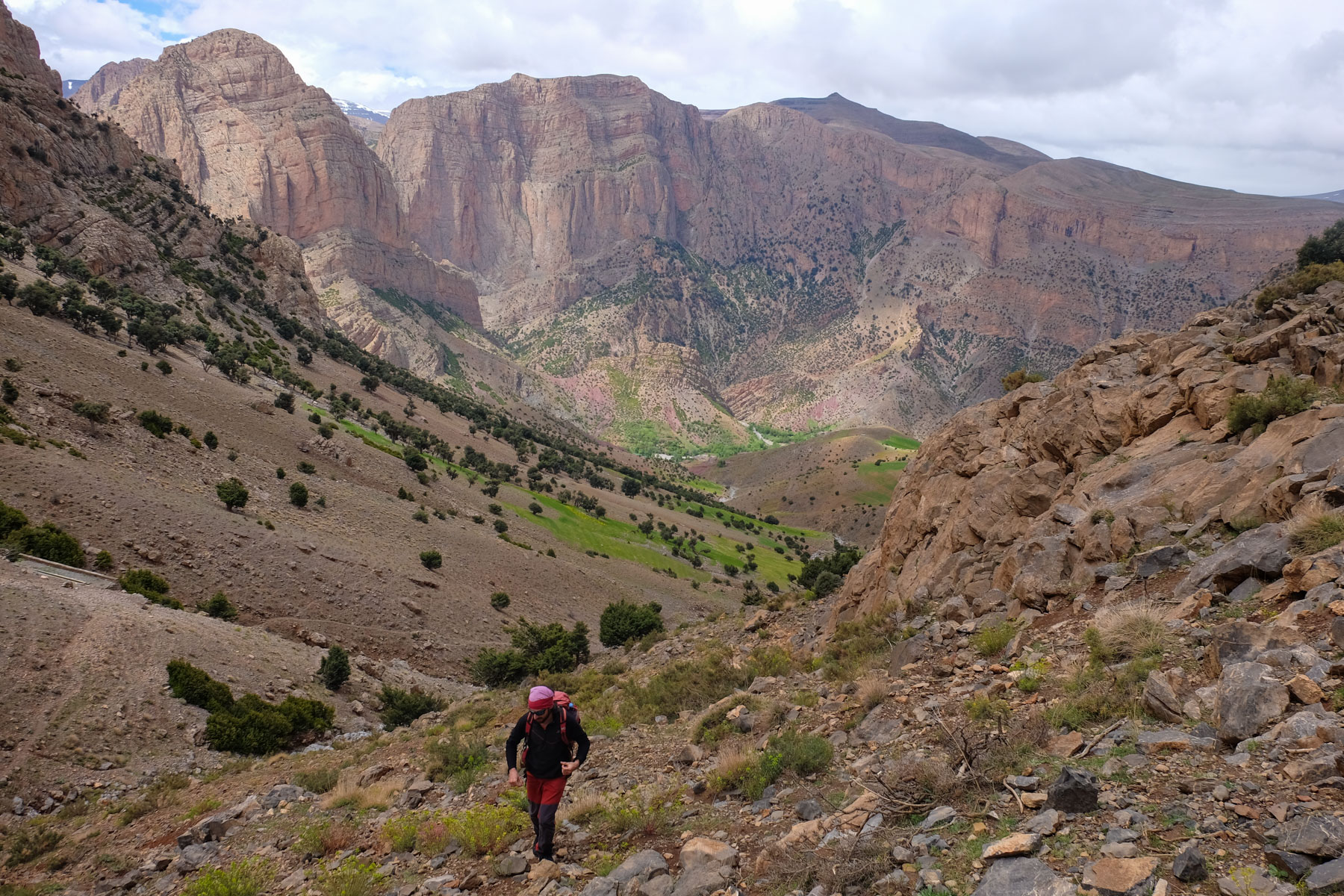
From the Taghia bridge, continue up into the village at its highest point to find the well-marked path that leads off to the west and soon joins the bed of a secondary torrent that flows down from the pass. Pass through slopes of purple rock and soon find the path marked with white dots that leads up the open valley on the right side (left bank). It climbs steadily and the views of the Taghia cirque become increasingly panoramic. At the top, the path bends to the north and you cross the wide pass into the valley behind. There's a round wheat threshing floor with a wooden post in the middle. From here, you can see the end of the wadi leading back to the starting point.
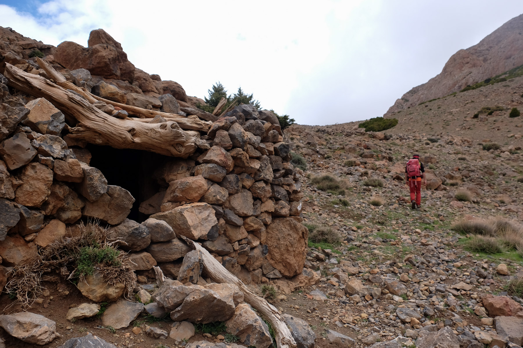
Descend the stony slope in tight laces on a well-marked path before bending right further down to cross and, over a gentle ridge, tumble into the valley and, in the background, you can make out the village of Toughed with its stone houses, completely integrated into the landscape and environment. Follow the path downhill at an angle until you reach the torrent bed below Toughed. Cross the stream without difficulty and climb the right bank. A path climbs up and takes you over the ledges to the east. The path climbs up a few steep switchbacks and finally winds its way along a ridge at the top of the canyon, rejoining the trail a little further on. The trail then descends and stays on the right bank, but doesn't climb high enough to pass through the villages below. Running out of time, we climbed up to get back to the trail more quickly, but this seemed a better option.
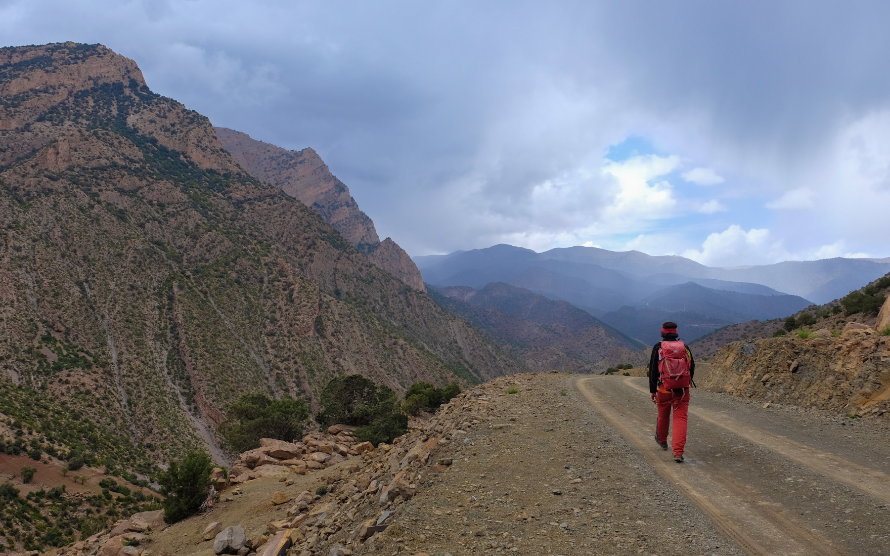
From the track, walk for almost 1 hour to get back to the starting point. On the last few bends, you can cut back to reach the pink mosque and the parking lot more quickly.


Leave a Reply