


TOPO Hiking | CLIMBING7.COM
Publié le
 Partager sur WhatsApp
 Partager sur Twitter
Partager sur Instagram
Partager sur Twitter
Partager sur Instagram

 Partager sur Facebook
 Imprimer le topo
 Laisser un commentaire

In the heart of the Haut-Atlas, a pretty loop on the plateaus of the Aroudane range offers spectacular views of the Taghia cirque and the surrounding 3000m. The ascent takes in a series of ingenious Berber staircases built from wood and stone to climb the walls and access the upper plateaus. You could add the ascent to the summit at over 3000m, probably spectacular, but with an extra 500 or 600m of ascent.
❱❱ Technical summary
Type ✦ Hiking
Location ✦ Zaouia Ahansal
Region ✦ Haut-Atlas
Country ✦ Morocco
Length ✦ 12kms
Dénivelé ✦ 950m
Difficulty ✦ MD
Max altitude ✦ 2490m
Duration ✦ 4h to 5h
Interest ✦ ★★
❱❱ Access to the place
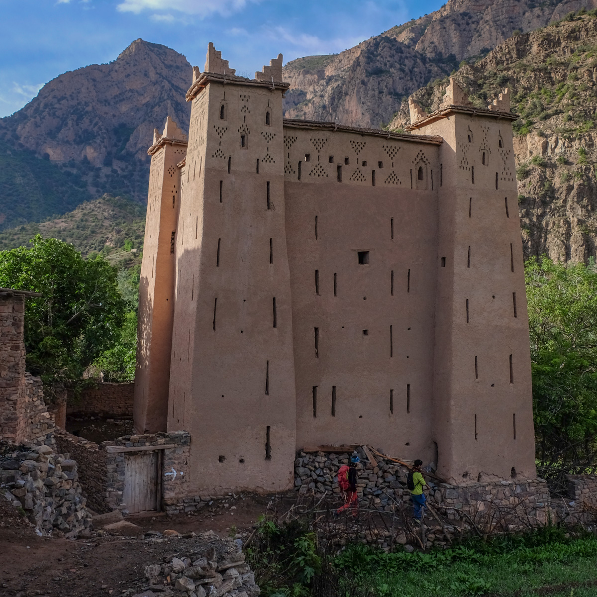
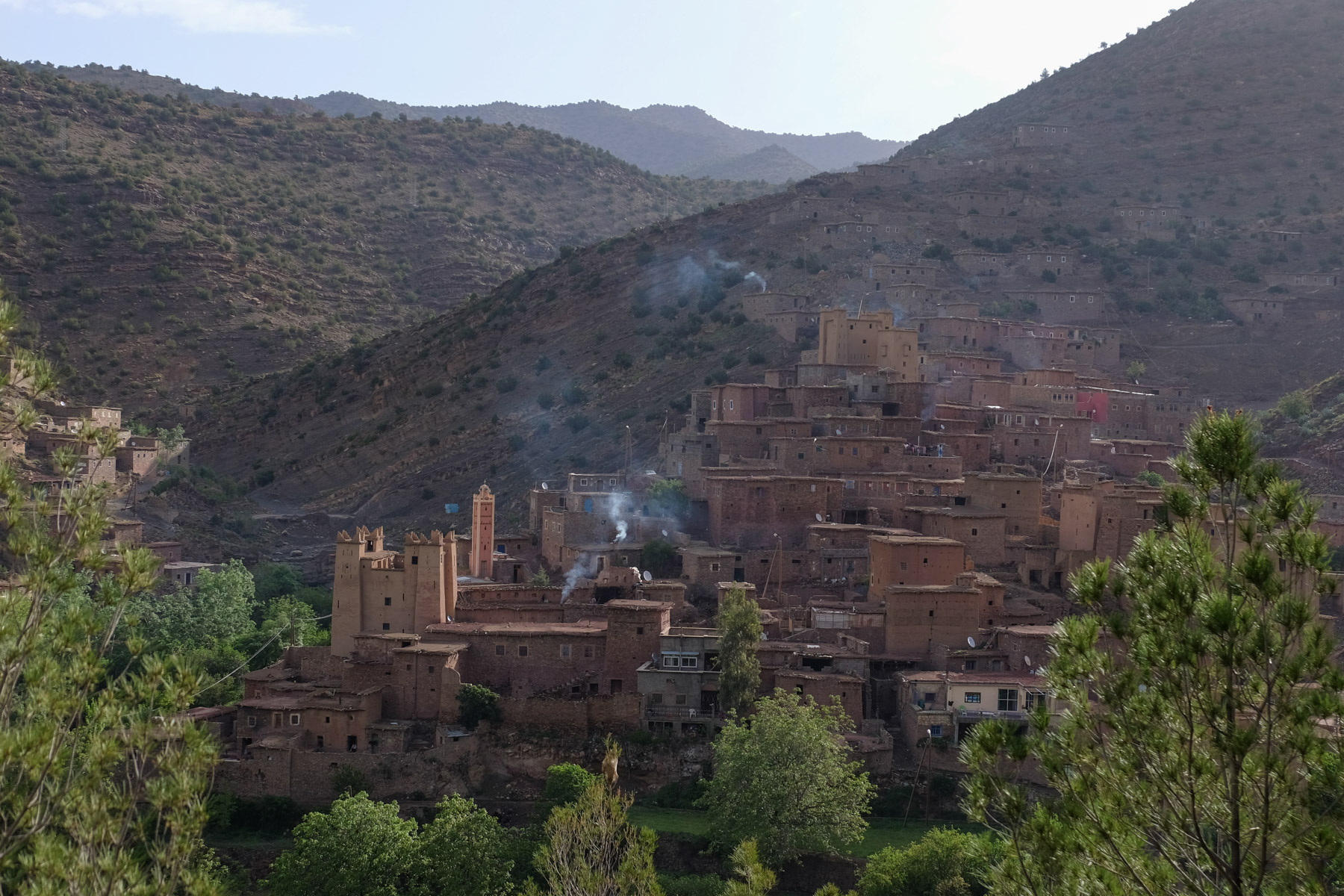
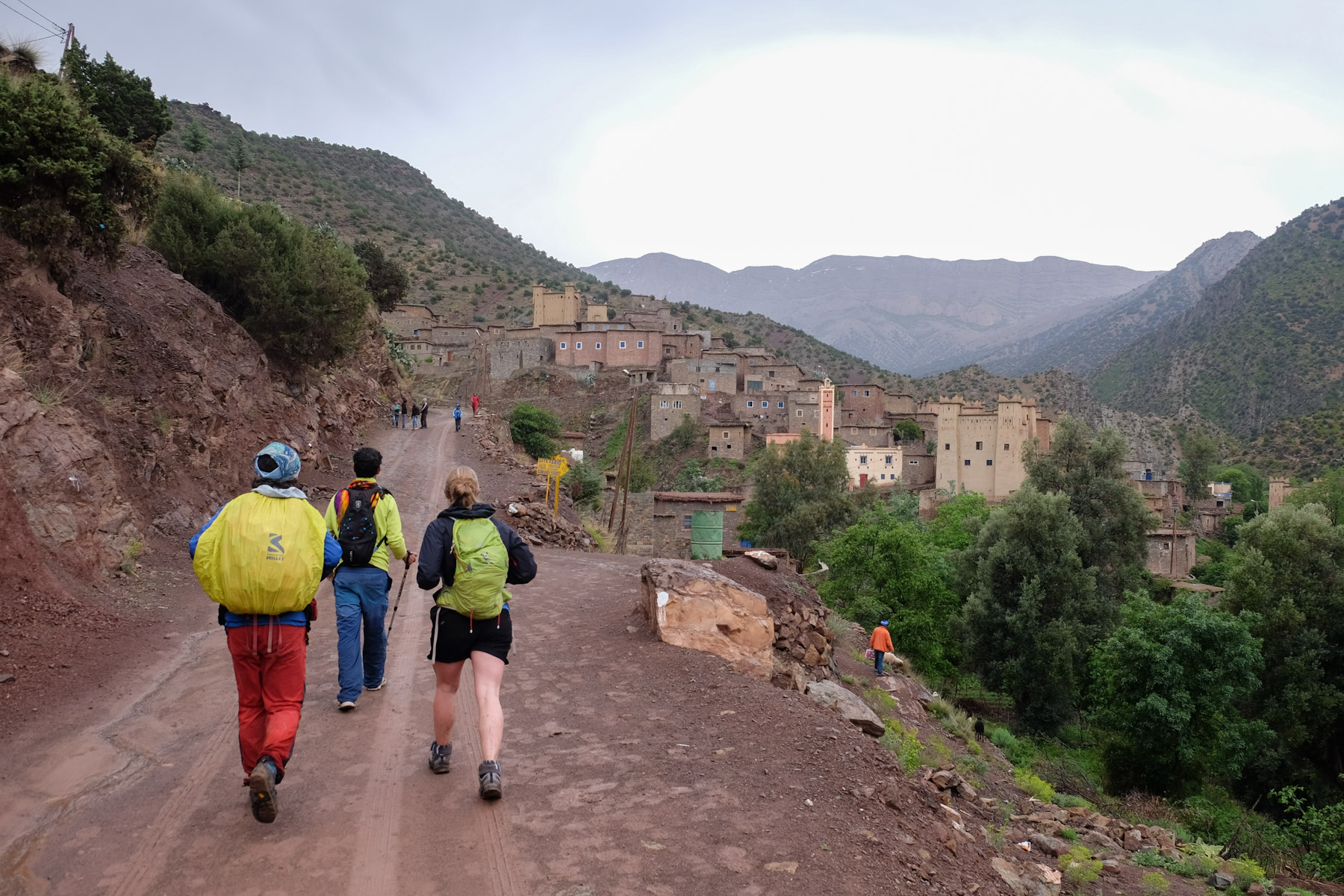
Further east than the Ait Bougmez valley, in the center of the High Atlas, is the village of Zaouia Ahansal, which means Brotherhood (Zaouia), Ahansal being the name of its founder 700 years ago. Departure is from Agoudim, just after Zaouia on the Taghia trail.
❱❱ Map & topo
❱❱ Itinéraire
Descend into the village of Agoudim and cross the torrent by the concrete bridge. Climb steeply uphill to find a wide track.
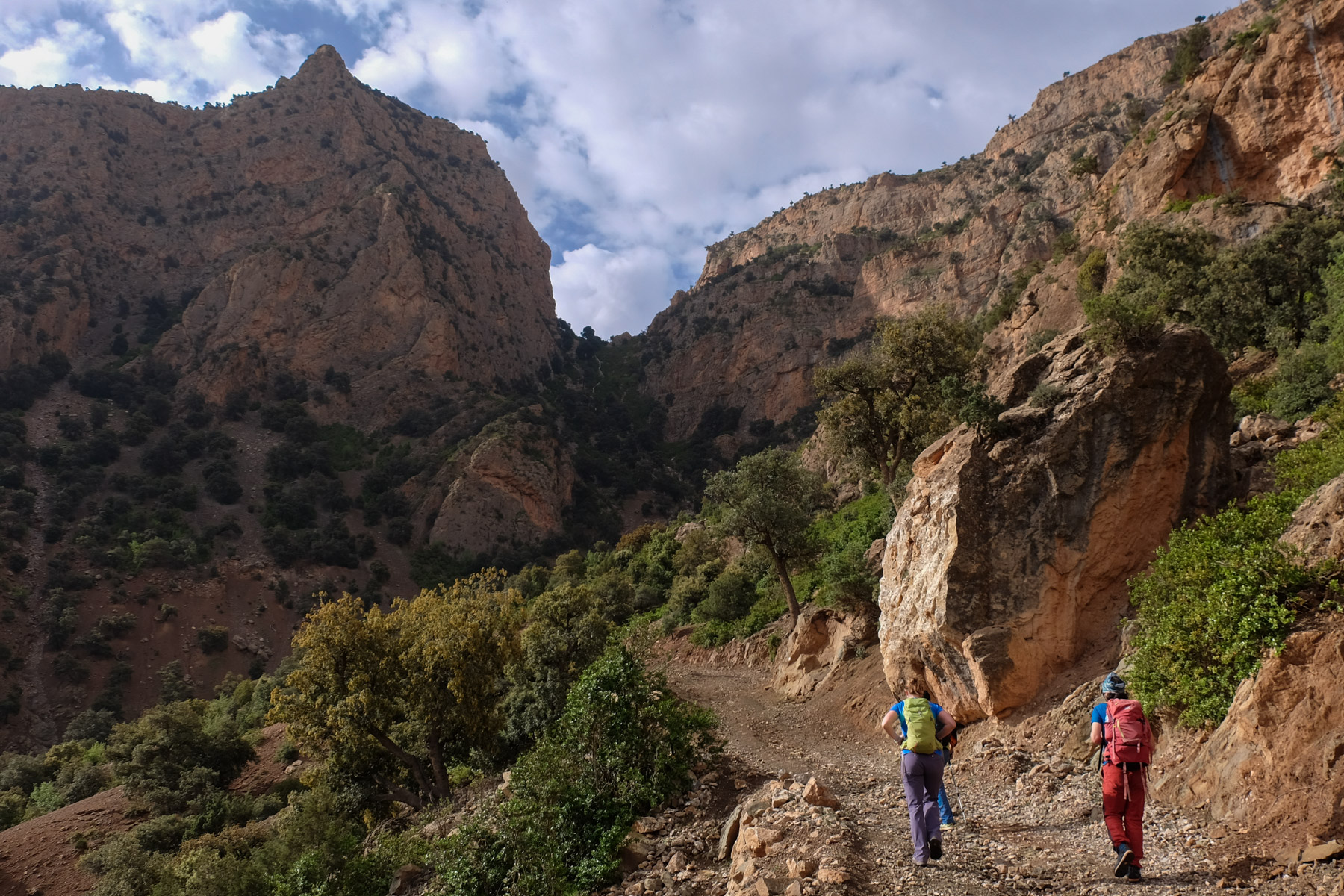
This is a loop, with the main difficulty being the Berber steps and the fairly aerial switchbacks to the upper plateaus. The difference in altitude and the distance covered remain reasonable. The itinerary is not signposted, but marked on the way up (except for the final part in the cliffs, which is less obvious) and on the way down, but not really marked on the plateau. The presence of a local guide can help to avoid trail errors.
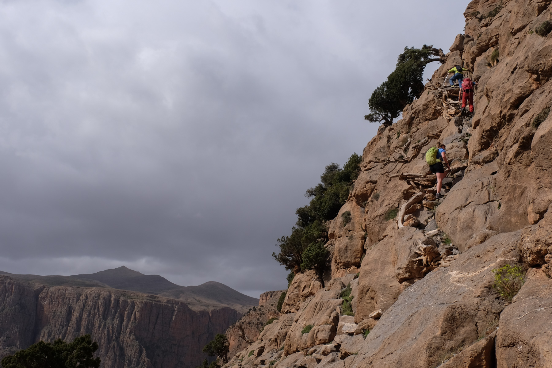
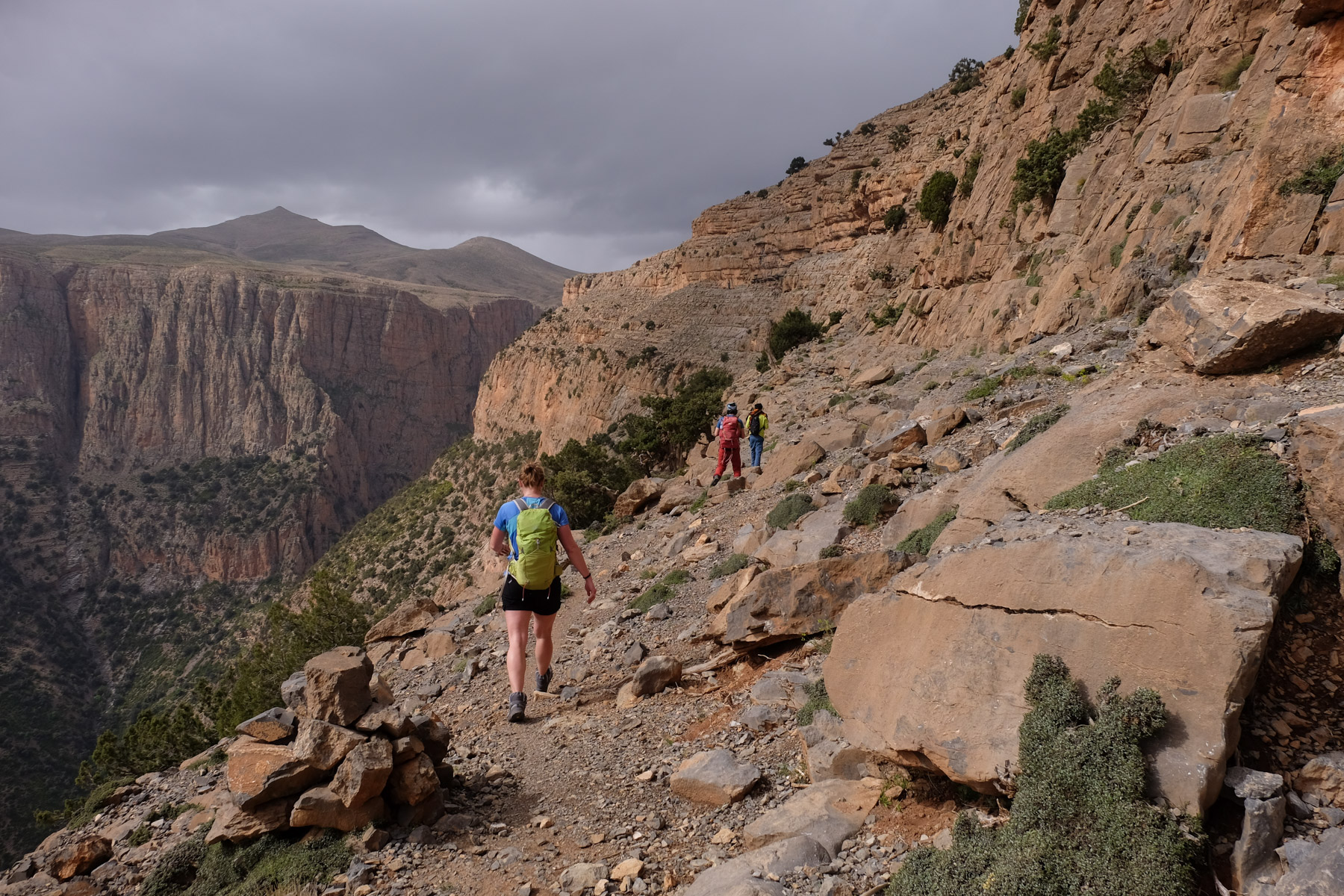
Follow the track south towards the characteristic pass visible from below. Once below, leave the track at a bend to attack the slope and scree that will climb steeply up to the pass. From here, a splendid view plunges down to Taghia and its cirque (see photo on first page).
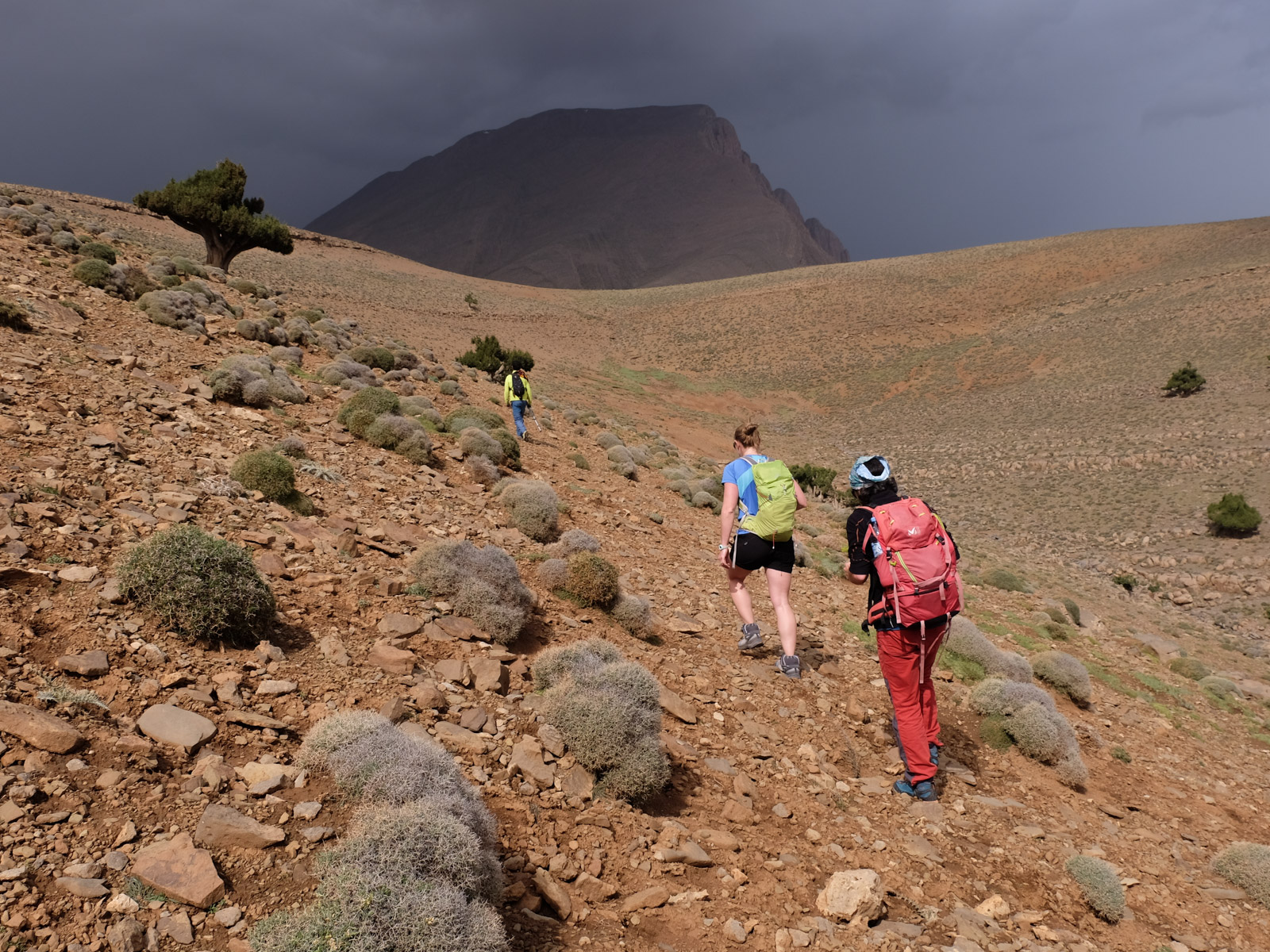
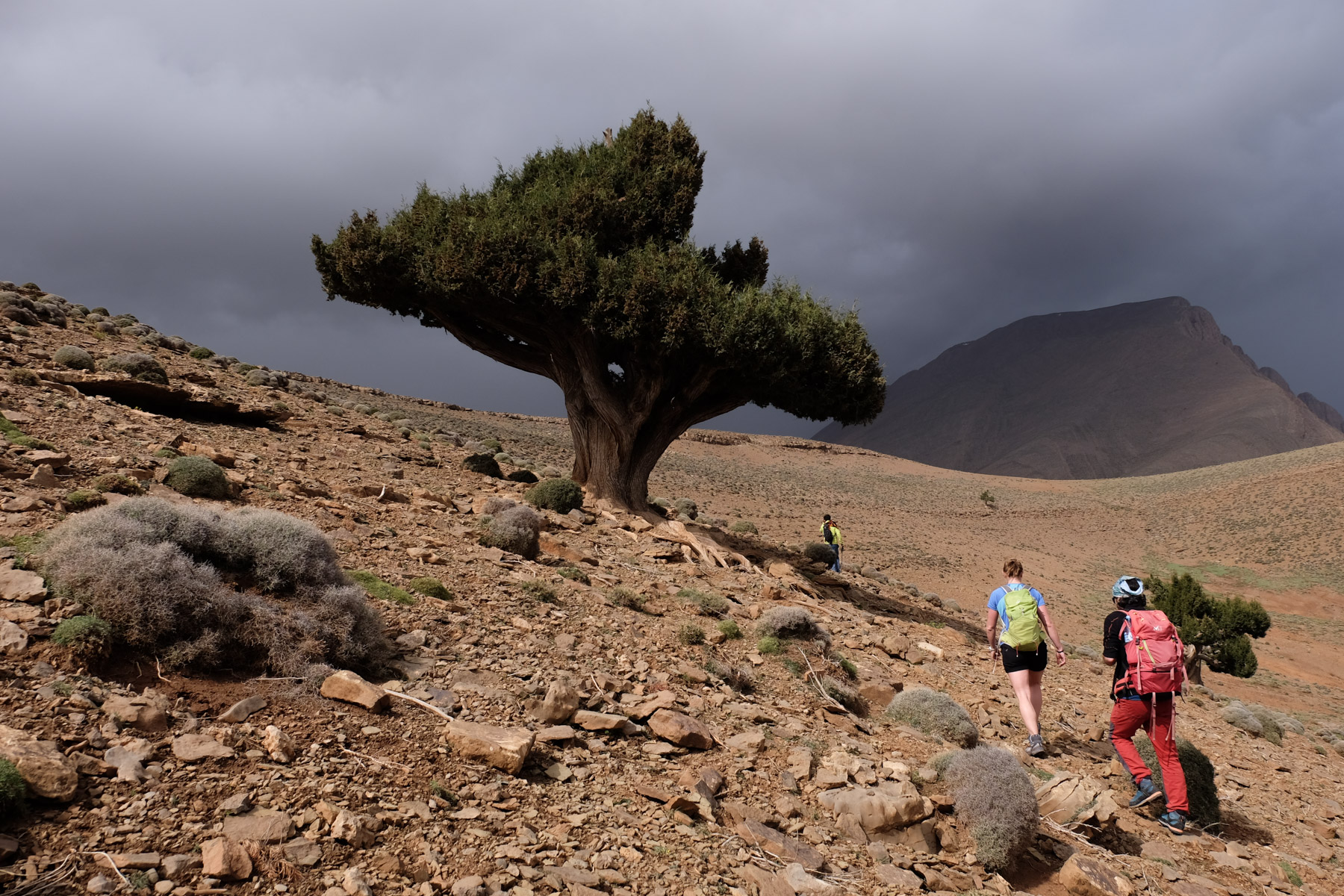
From the pass, climb to the right to take wide ledges under rocky bars. You're on the Taghia side, opposite Zaouia. Soon you'll find the start of the Berber staircase, built of wood and stone to form a passage in the rock. Follow this itinerary, passing over small ledges to other stairways, gradually emerging on the Zaouia side and finally reaching the upper plateau. Head due west across the plateau towards the summit, which can be seen in the distance, without losing height. After a while, in the hollow of the plateau and almost below the base of the large summit, there's a well. We're at around 2500m.
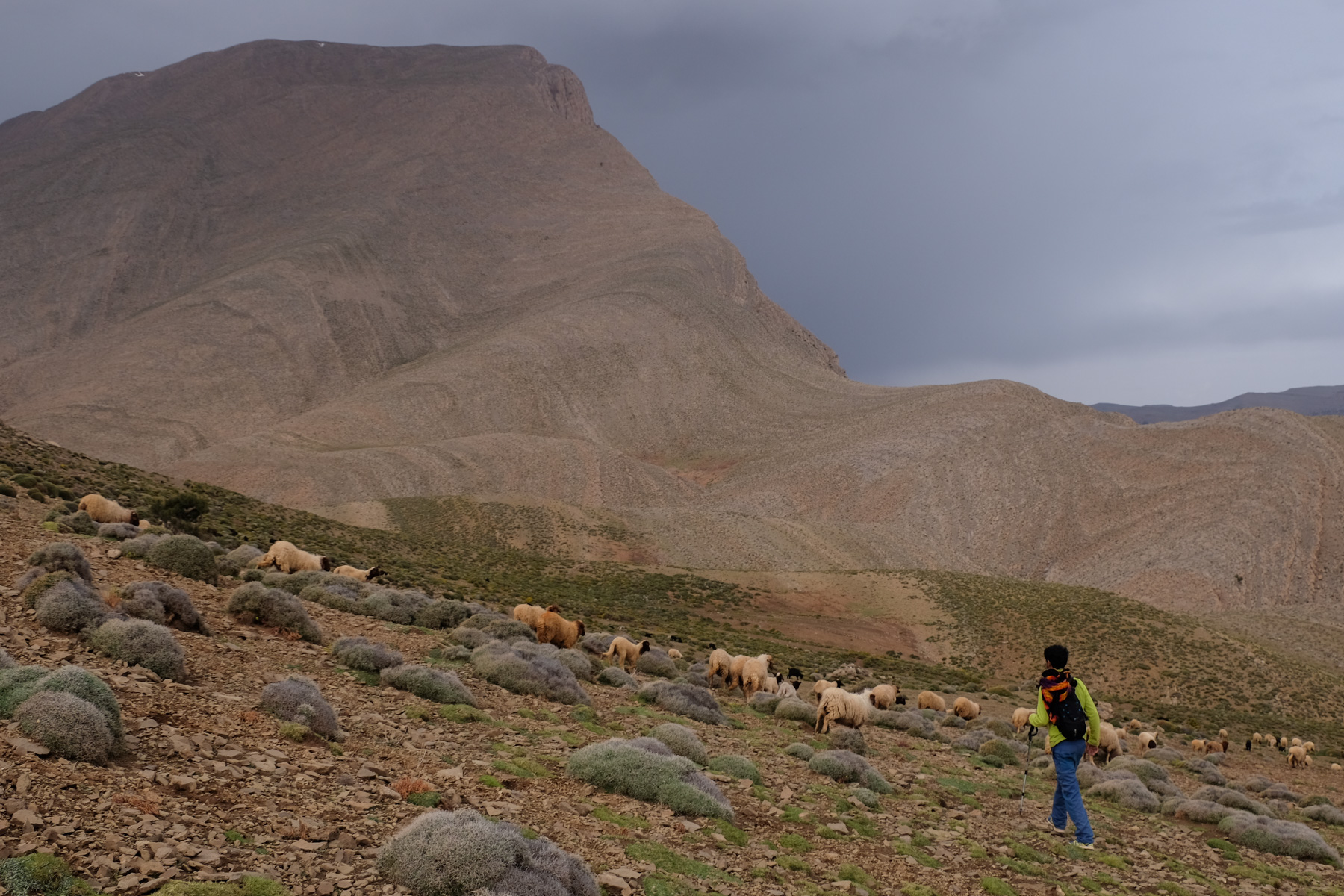
From the well, cross northwards to reach the edge of the cliffs and the north-facing ridge. You can see the winding road below. There's a well-trodden mule track that weaves its way through the cliffs, descending steeply and straight down. Further down, it bends eastwards through the woods and, after a long descent and a few valleys, we finally find the track that joins Zaouia, along the left bank of the torrent, a little before Agoudim (at the post office and birthing center).


Leave a Reply