


TOPO Hiking | CLIMBING7.COM
Publié le
 Partager sur WhatsApp
 Partager sur Twitter
Partager sur Instagram
Partager sur Twitter
Partager sur Instagram

 Partager sur Facebook
 Imprimer le topo
 Laisser un commentaire

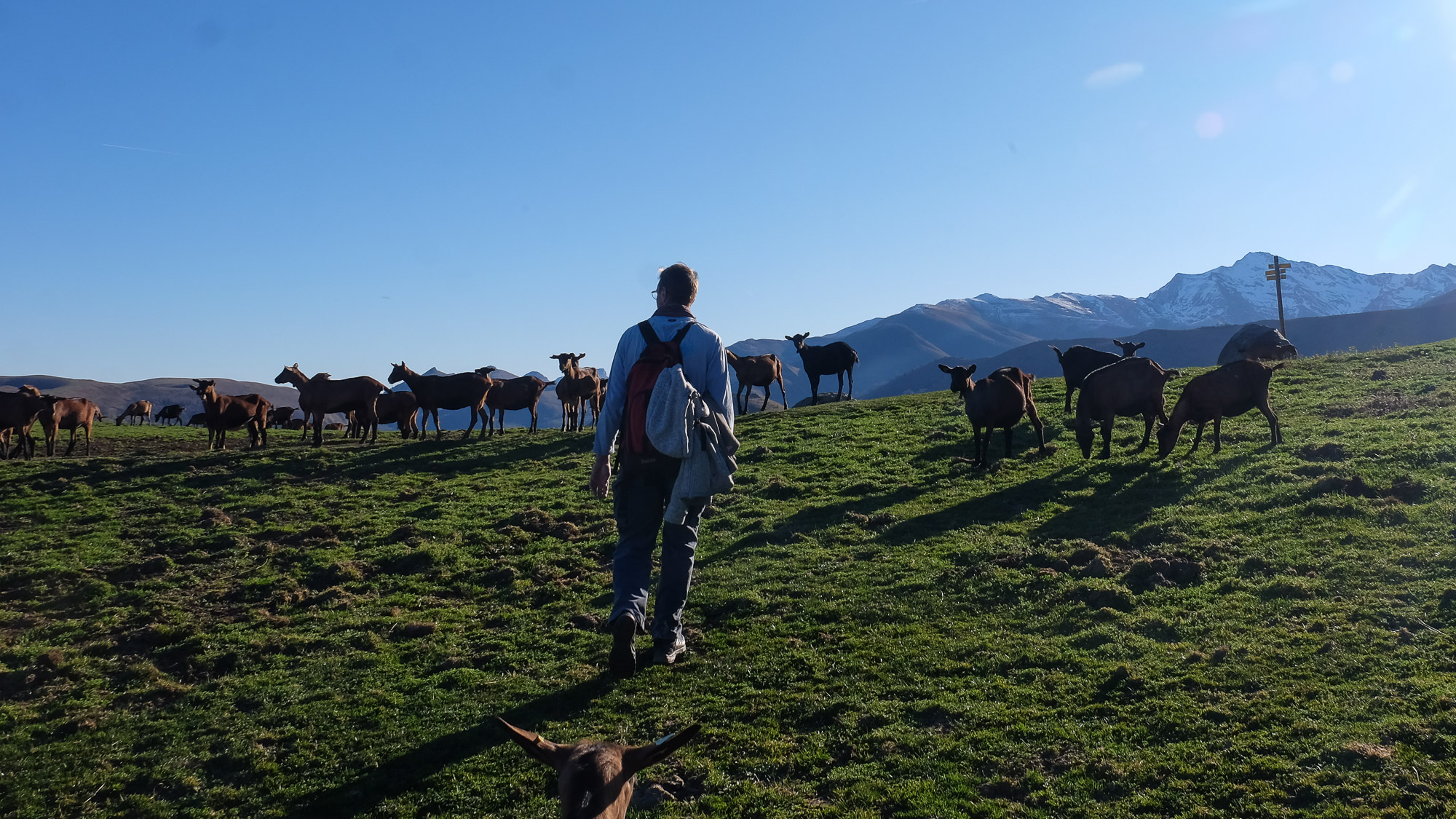
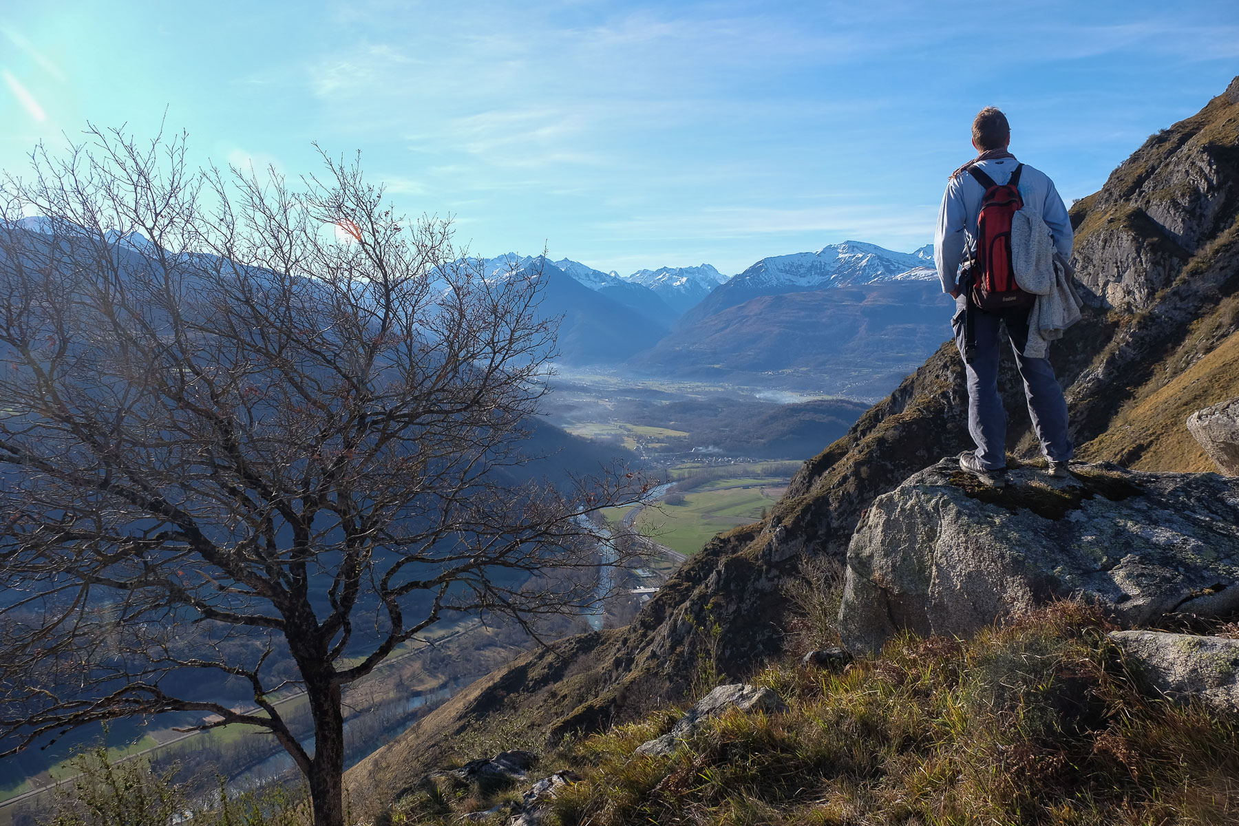
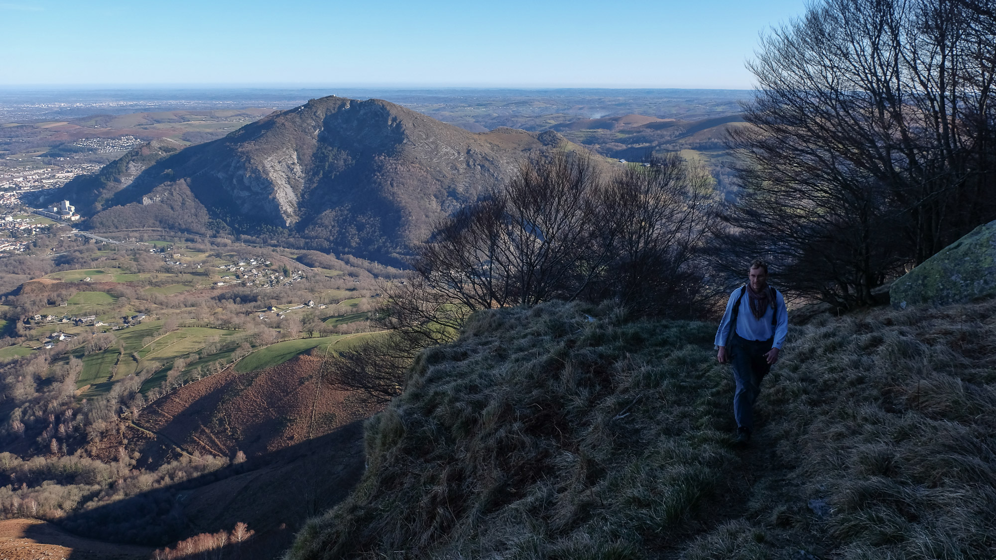
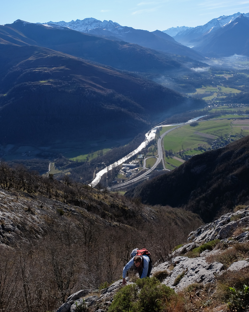
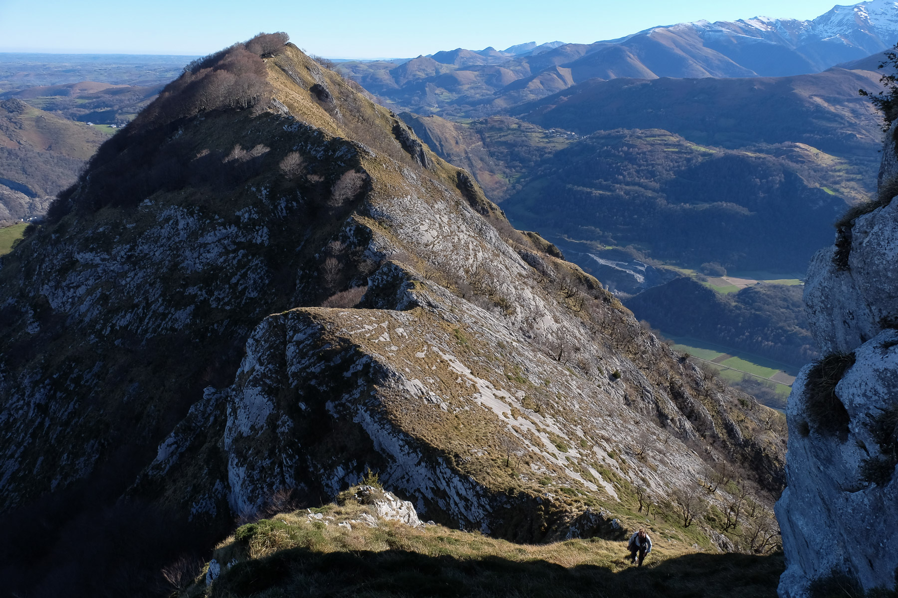
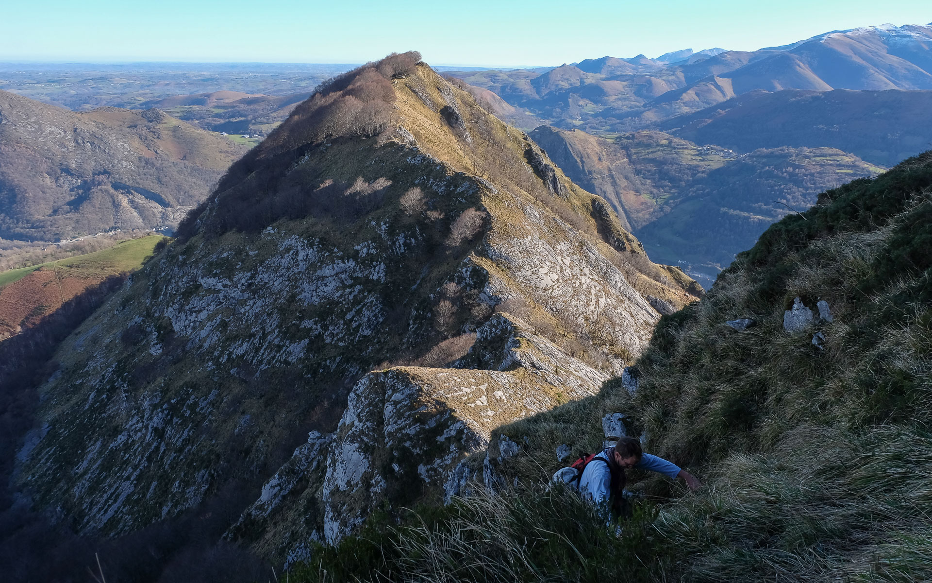
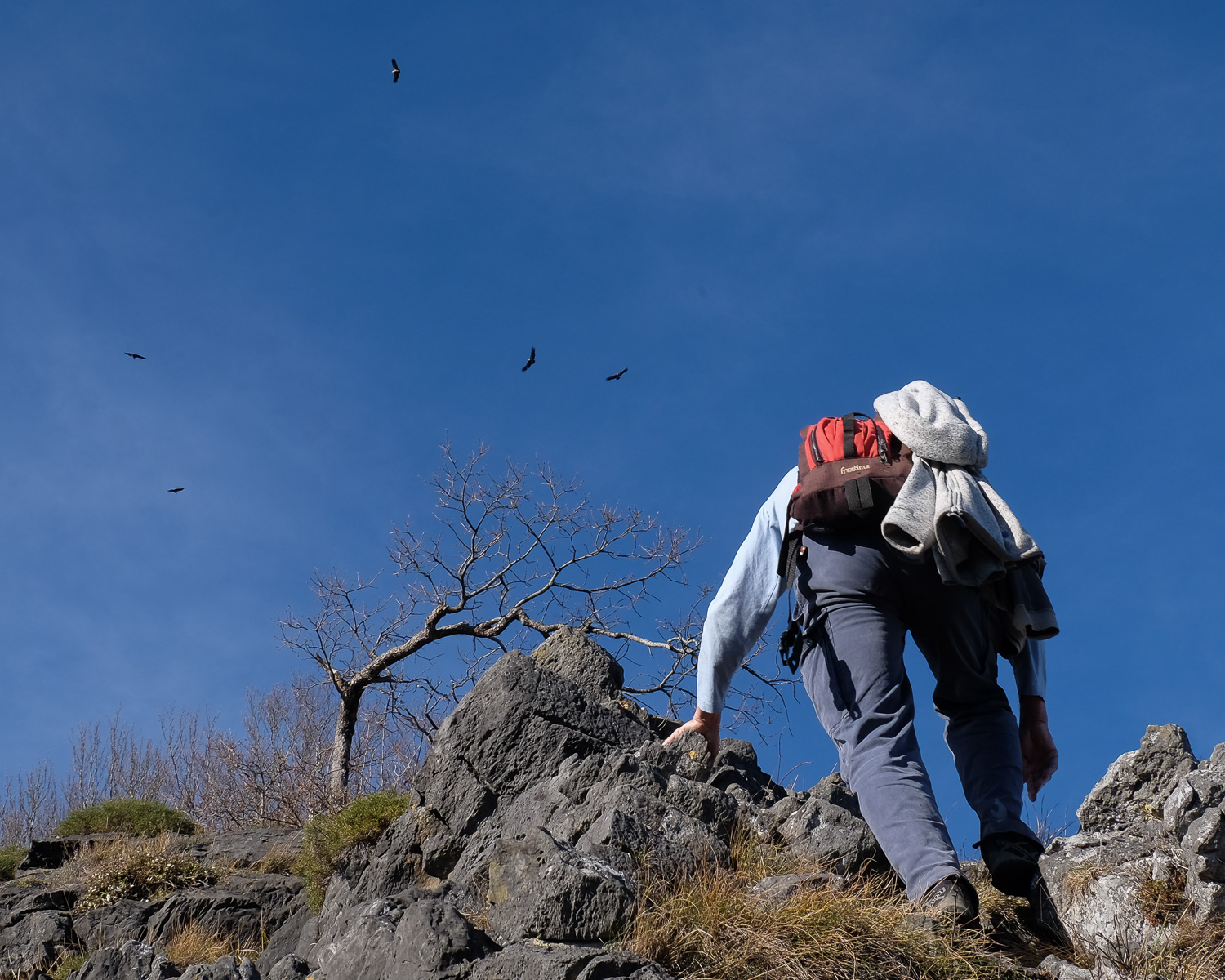
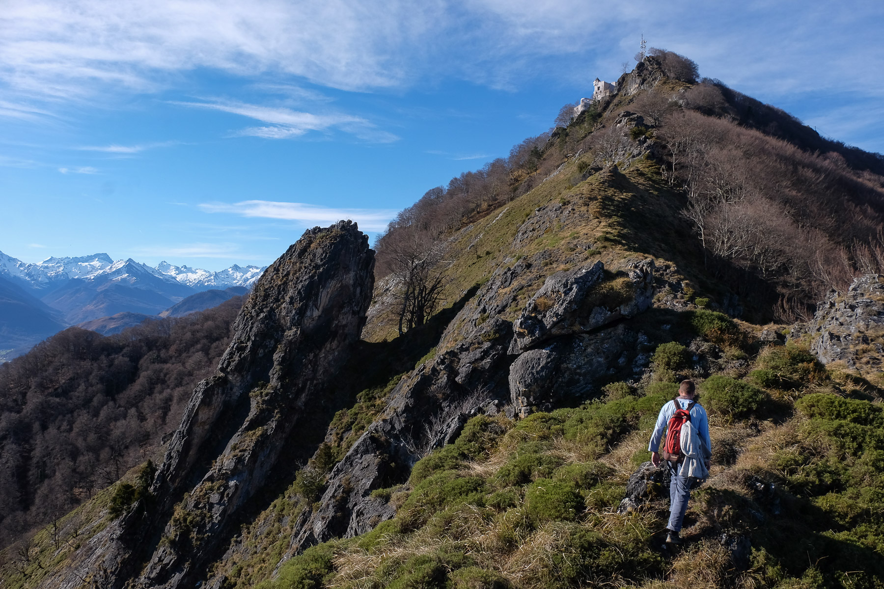
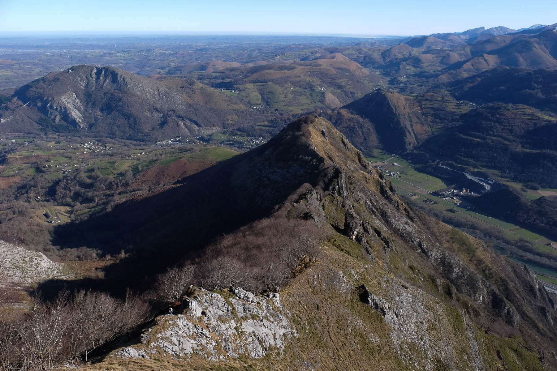
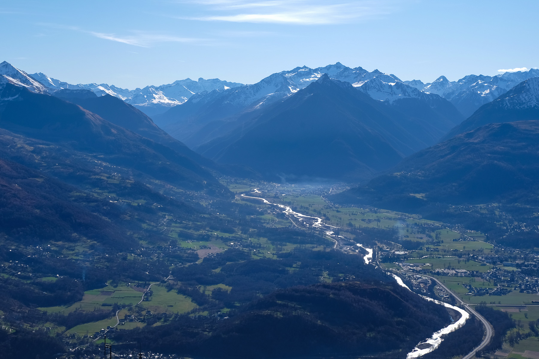
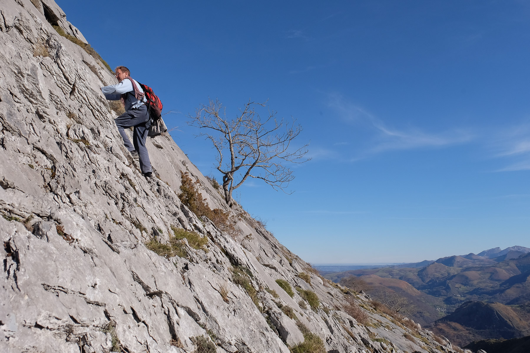
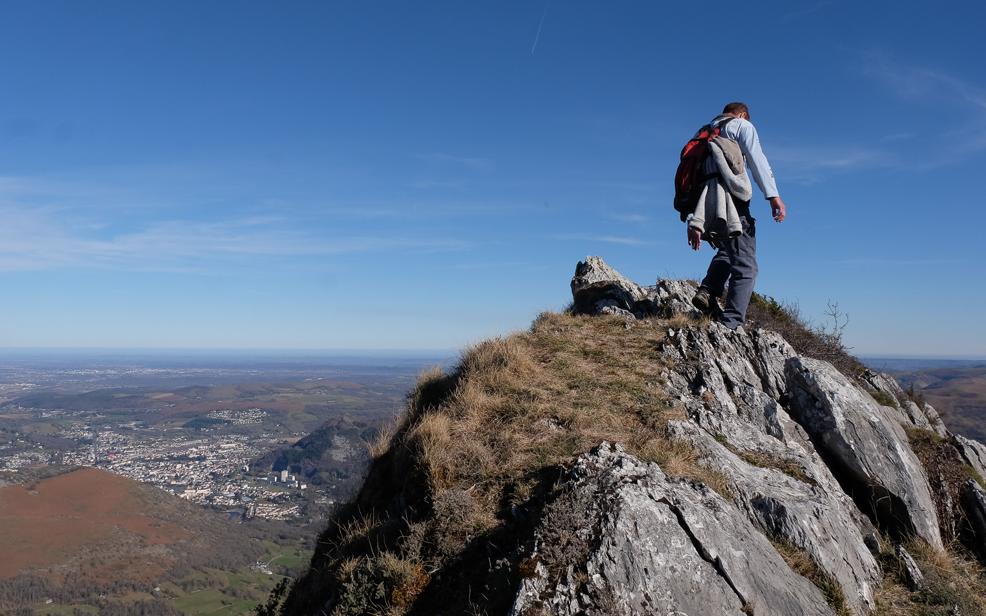
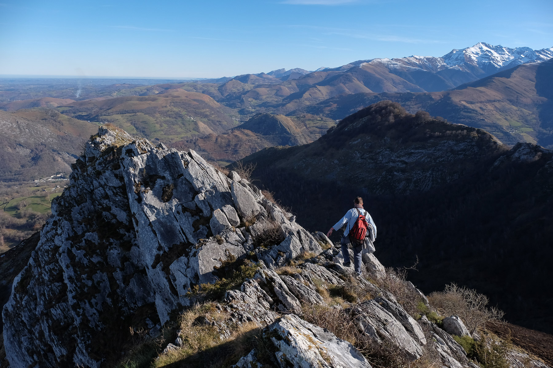
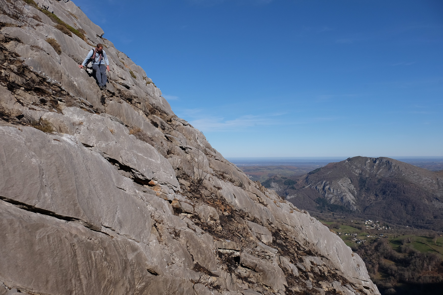
Just above Lourdes, at the entrance to the valley leading to Gavarnie, les crêtes du Pibeste offers a fairly short but athletic and aerial itinerary, with the added bonus of a spectacular panorama of the Hautes Pyrénées, its snow-covered 3000s and a ballet of vultures circling and turning to the south. With numerous rock-climbing passages, some of them quite exposed, this hike is aimed at those who love heights and have the feet and hands to take on the challenge without getting scared. The return via the opposite Mail d'Arréou ridge is in the same vein, with an impressive descent down the south face to rejoin the classic loop.
❱❱ Technical summary
Type ✦ Alpine hiking
Location ✦ Viger, Lourdes
Region ✦ Hautes Pyrénées
Country ✦ France
Length ✦ 9kms
Elevation gain ✦ 850m
Difficulty ✦ D / IV-
Max altitude ✦ 1349m
Duration ✦ 4h30 to 5h
Interest ✦ ★★
❱❱ Access to the place
From Lourdes, take the road to Argelès-Gazost on the D821. Soon after, turn right for Aspin-en Lavedan. Drive up to the village of Viger and park in the church square.
❱❱ Map & topo
The routes on the ridges are indicative, especially on the Mail d'Arréou ridge!
❱❱ Itinéraire
Climb through the village to continue on a yellow-marked path to the Pic d'Alian and the Pibeste balcony circuit. It climbs through the woods and then skirts fields. Leave the track on the right and climb along the fences until you reach the Col du Clot d'Alhon (741m) on the left. Superb first view of the Pyrenees. Start the itinerary towards the Pic d'Alian and the Pibeste crests.
The route, which forms a loop, is partly marked in yellow, except on the ridges between Pic d'Alian and Pic du Pibeste, and on the variant via the Mail d'Arréou ridges. Good conditions are required: dry weather, no snow, good visibility. The route remains aerial, and there are a number of easy but exposed climbs.
The variant via Mail d'Arréou can be avoided by descending through the grassy combe in the center of the valley. The descent of the crêtes d'Arréou would require finding a less tricky passage than the one we improvised (north face?).
Descend into the valley and cross the stream to take the path back under the clot d'Alhon. There remains the approach path in the opposite direction to the parking lot at Viger.


Leave a Reply