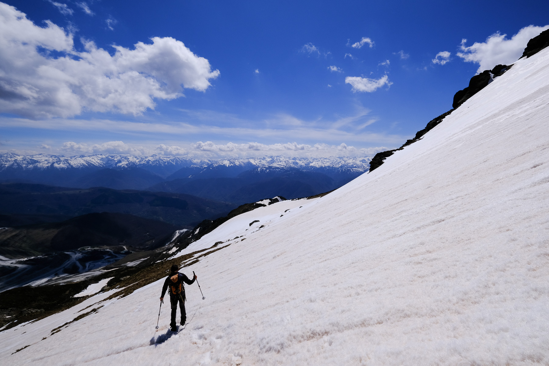
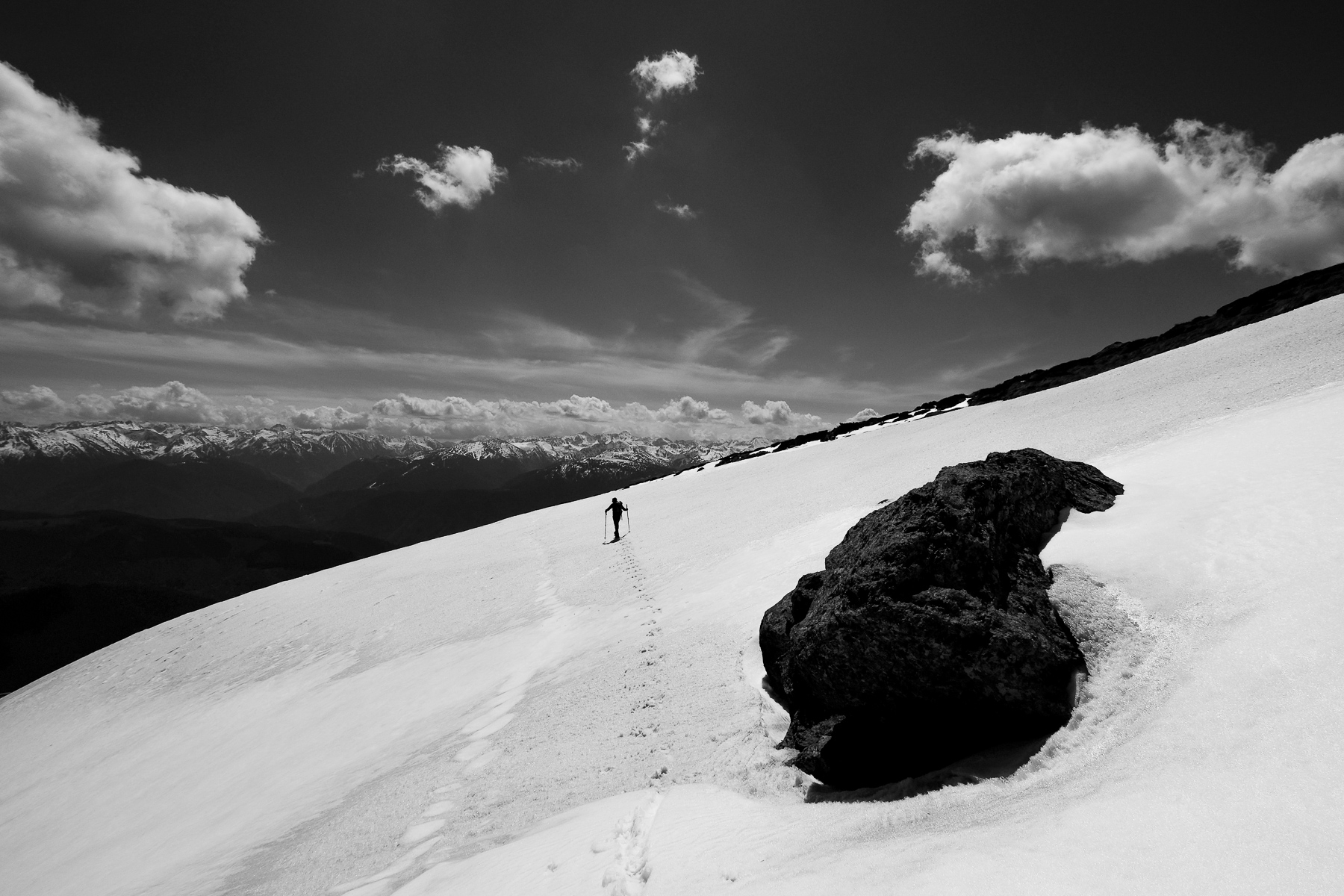
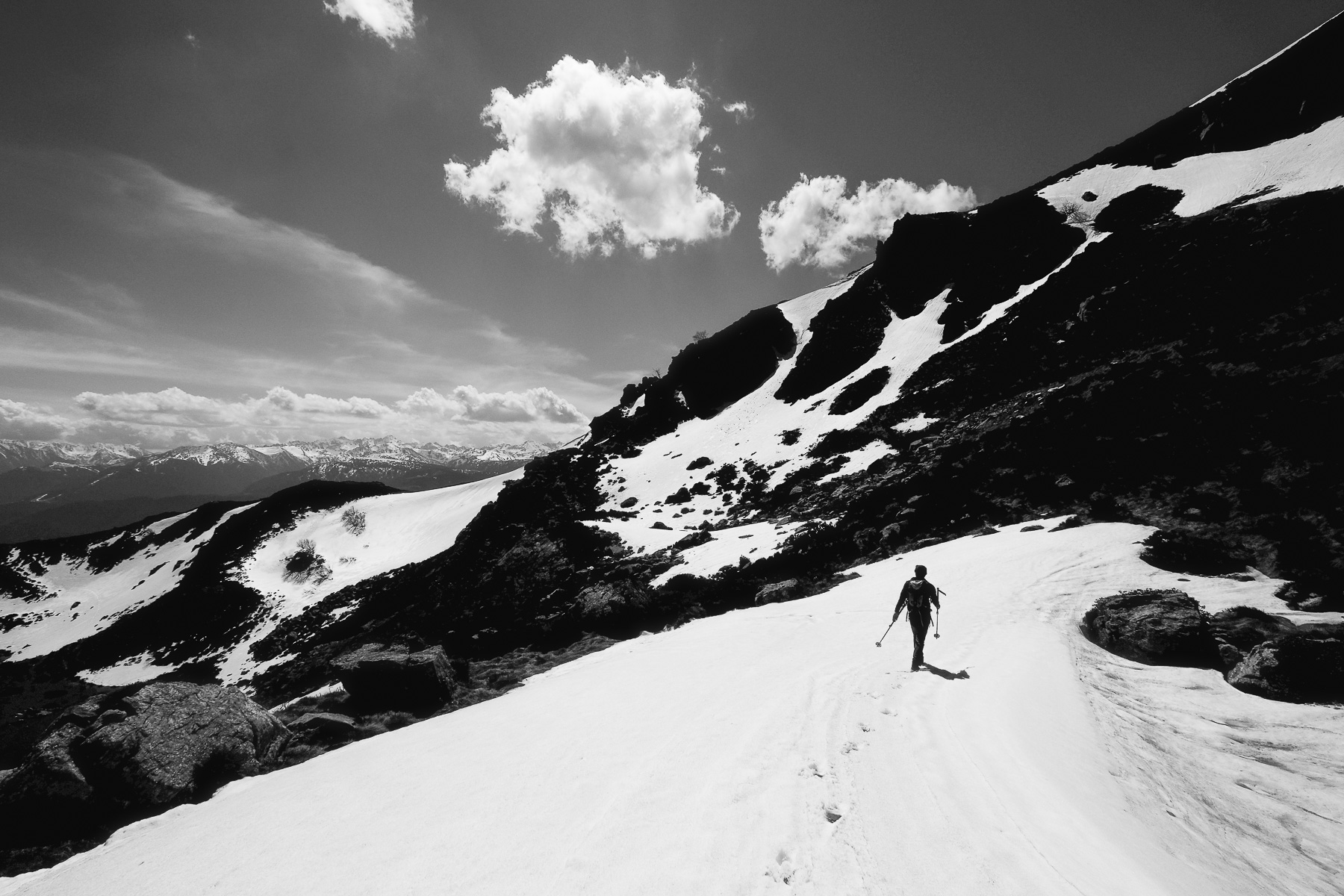
After Mont Fourcat and the ridges from Pic Galinat to Pic du Han, we round off the Montagne de Tabe with its 2 highest peaks: Pic de Saint-Barthélémy (2348m) and Pic de Soularac (2368m). A fairly short but physical loop, with a few technical sections where you need to get your hands dirty. Today's conditions also called for a pair of crampons for the descent from the Pic de Saint-Barthélémy to the Col du Trou de l'Ours. The route is also, and above all, worthwhile for its splendid views of the Pyrenees to the south, its high-altitude lakes and the high-mountain atmosphere, particularly in mid-season.
❱❱ Technical summary
Type ✦ Alpine hiking
Location ✦ Lordat, Ax-les-Thermes valley
Region ✦ Haute-Ariège
Country ✦ France
Orientation ✦ South
Max altitude ✦ 2368 m
Distance ✦ 10.5 km
Dénivelé ✦ 960 m
Difficulty ✦ E4 / T3 / R3
Duration ✦ 4h to 5h30
Interest ✦ ★★★
❱❱ Access to the place
On the N20 between Tarascon-sur-Ariège and Ax-les-Thermes, turn into Luzenac. Follow the road up to Lordat and then head for the Talc quarry. Just before the quarry, turn left onto a track (signposted parking for Soularac and Saint-Barthélémy). Climb a few hairpin bends on the very good track and park a little before the quarry entrance, on a small parking area exactly under the cable car with the talc dumpers (well, not too far under, as they say it can fall down...). At the trailhead there's a sign with a map of the route.
❱❱ Map & topo
The small yellow line on the way back corresponds to the new route signposted in yellow to go past the étang de Beseil. If you want to descend via Le Nadel, be careful to stay on the ridge all the way.
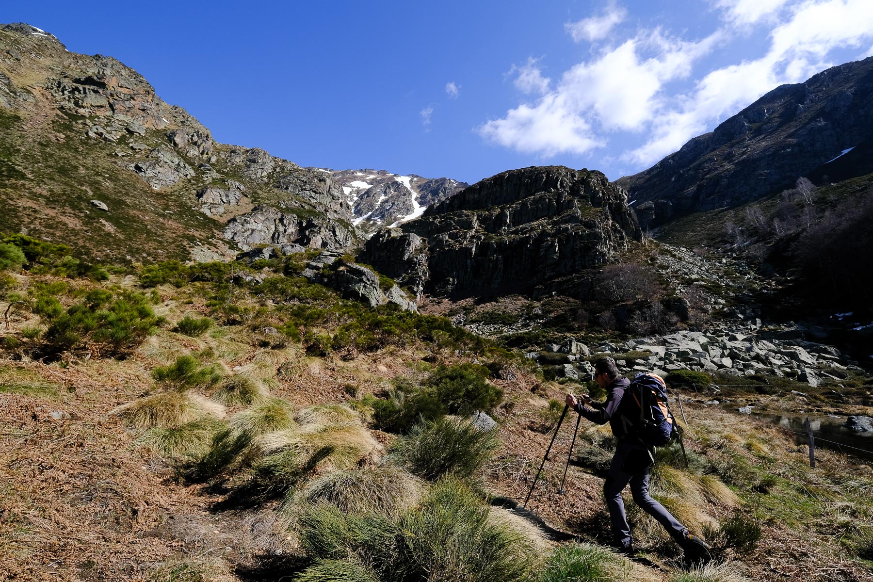
Leave the main track and climb up the path, which after 5 bends, passing again and again under the talc factory cable car, leads to the fork in the road which climbs to the Pic de Soularac on the right. This is the start of the loop, unless you wish to do it in the opposite direction.
Course
The entire route is marked in yellow, although at times the path is barely visible, even less so in snow. There are no technical passages to negotiate. On a tiny section between the 2 peaks, we come across the GRP Tour du Massif de Tabe (red and yellow).
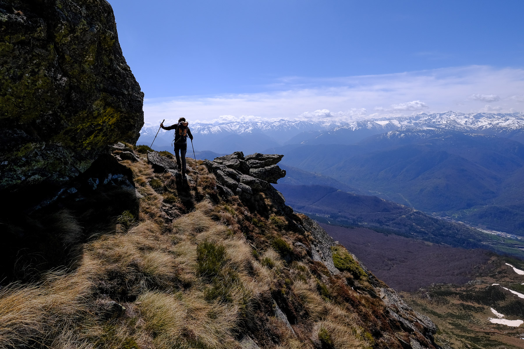
Part 1: join the South ridge (45')
Turning right, the wide path climbs a few more switchbacks before crossing to the east and finally passing a brand-new hut, not yet on the maps. Continue on the main path, which bends northwards towards the Trou de l'Ours valley, which gradually comes into view. Keep an eye on the left as you leave the main path to descend to Pas du Gai, where the Fountroune stream flows from a nearby spring. Cross over and climb up on the opposite side, but very soon you'll be crossing east again to join the main ridge leading to the Pic des Bugarels.
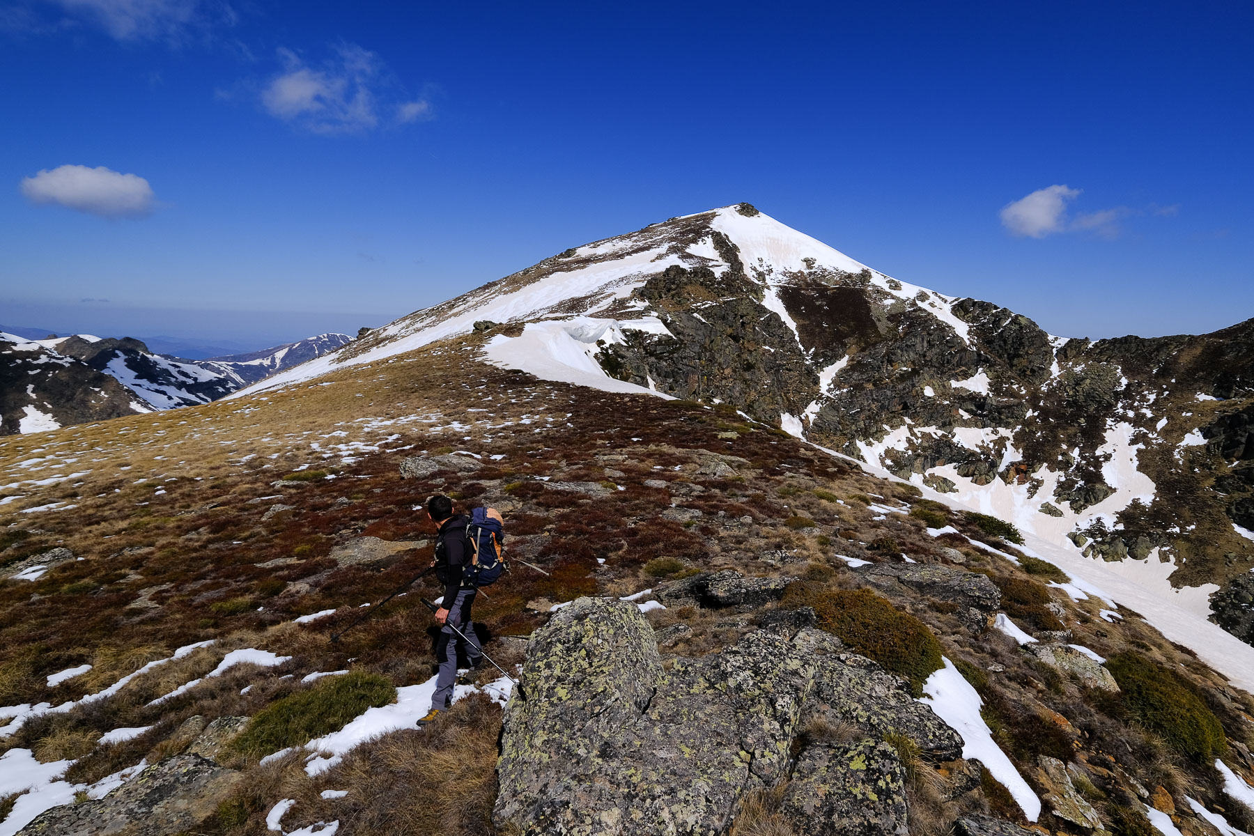
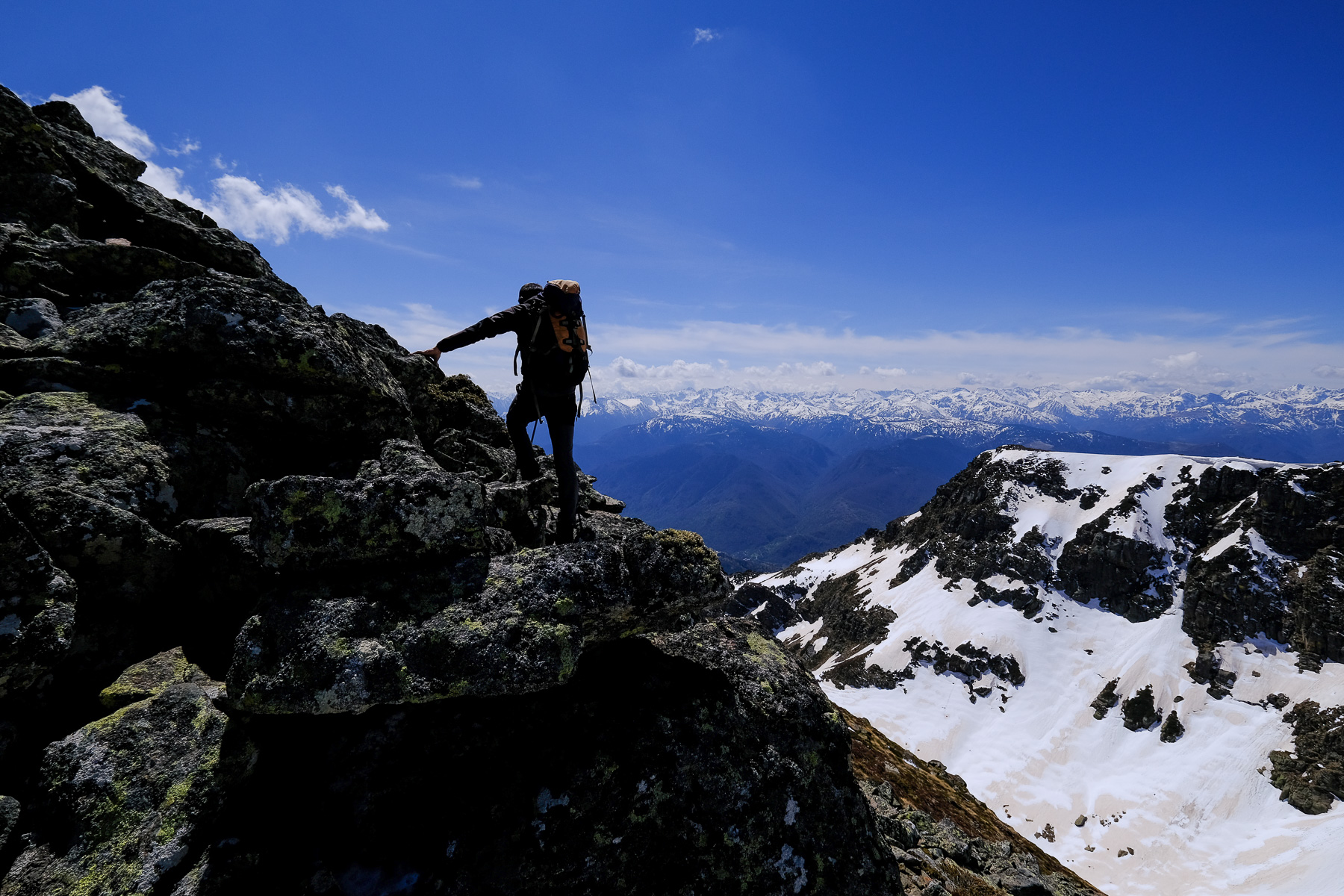
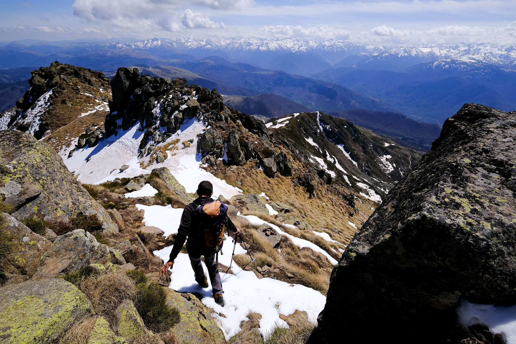
Part 2: Pic des Bugarels and Pic de Saint-Barthélémy (1h15 to 1h30)
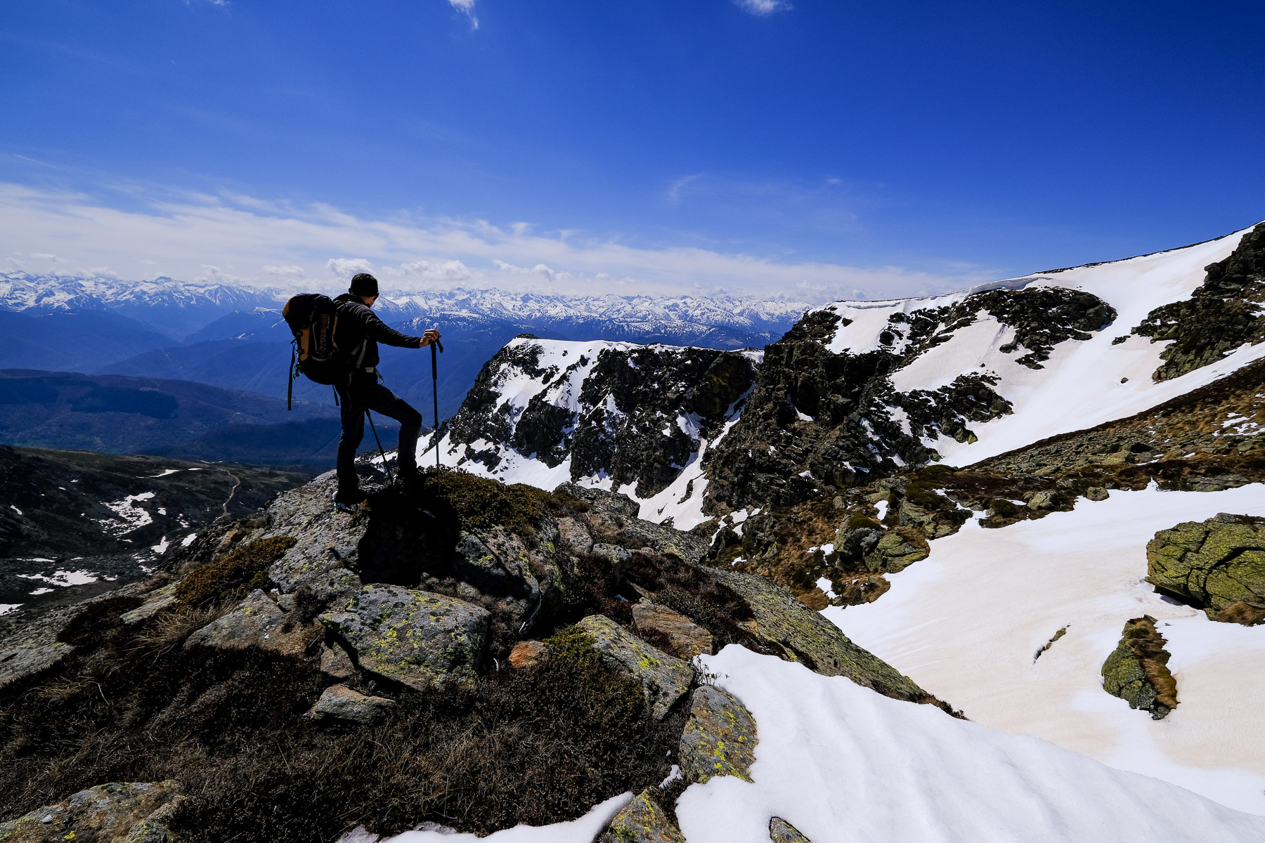
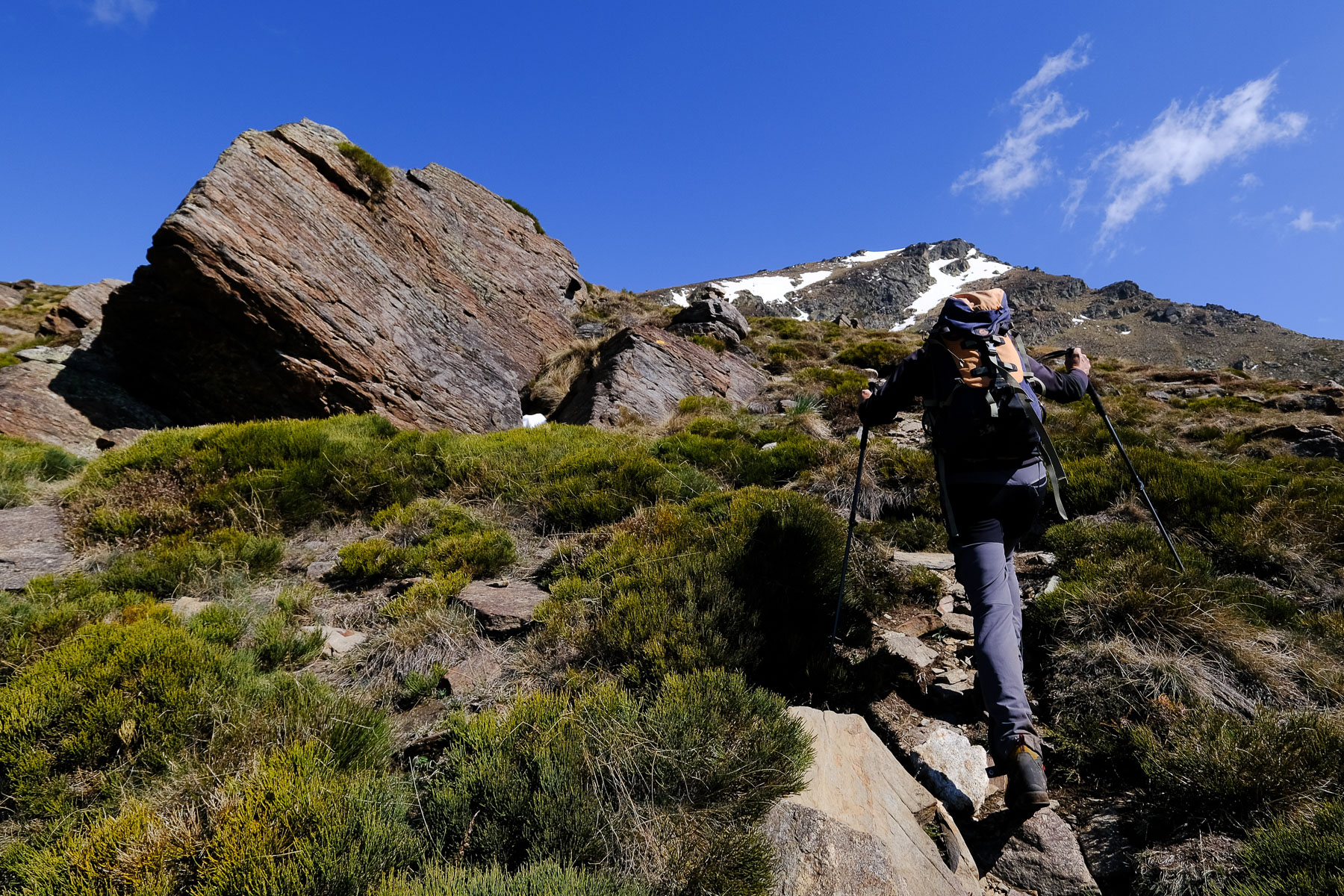
It's actually quite simple: straight up the slope! No fuss or twists to soften the slope, it's steep and almost continuous, with just 1 or 2 flat spots to take a breather. The trail is obvious, well marked and cairned. Just before the Pic des Bugarels, you can cross over to the right to a small hole in the rock (le Trou de l'Ours?) before heading for the summit. From here, it's easy to see what remains to be done for the Pic de Saint Barthélémy: cross the wide col between the 2 peaks and climb the final ridge to the summit. This time you can clearly see the rest of the route: the West ridge leading back down to the Col du trou de l'Ours, and opposite, on the East side, the ridge leading up to the Pic de Soularac.
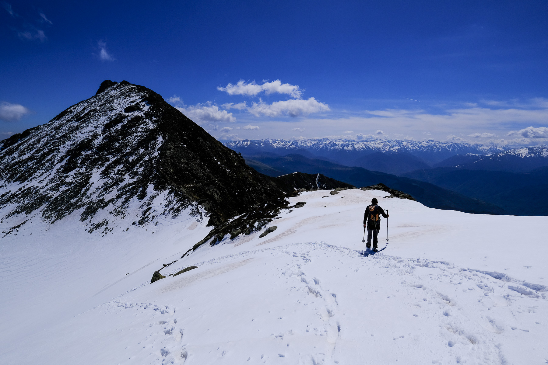
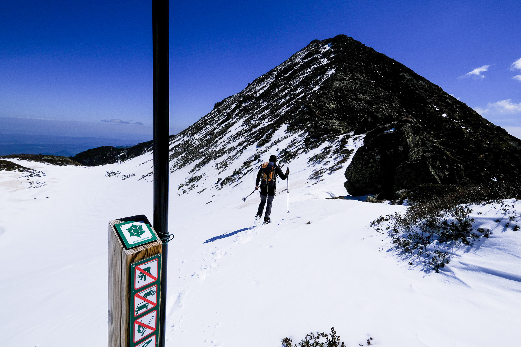
Part 3: Pic de Soularac (1h to 1h15)
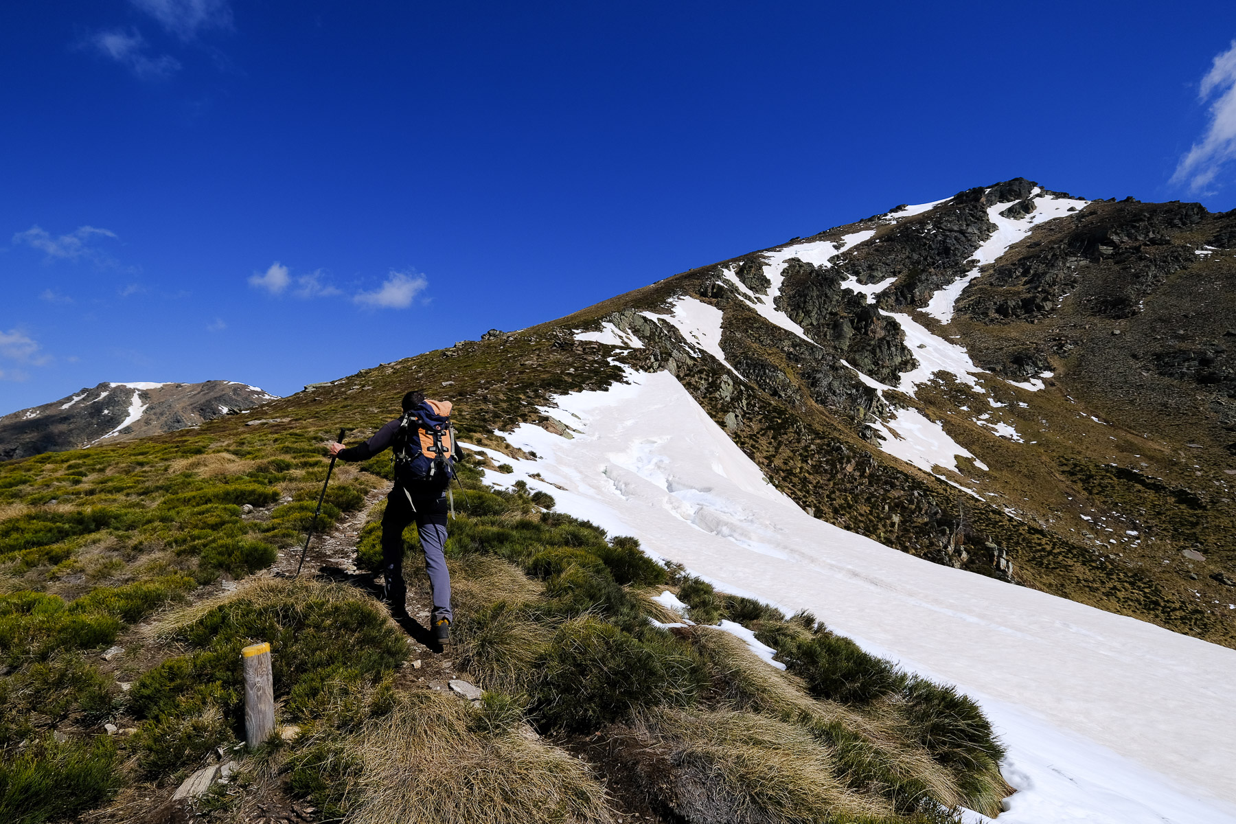
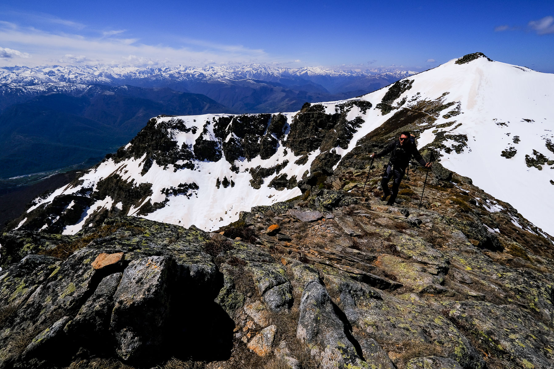
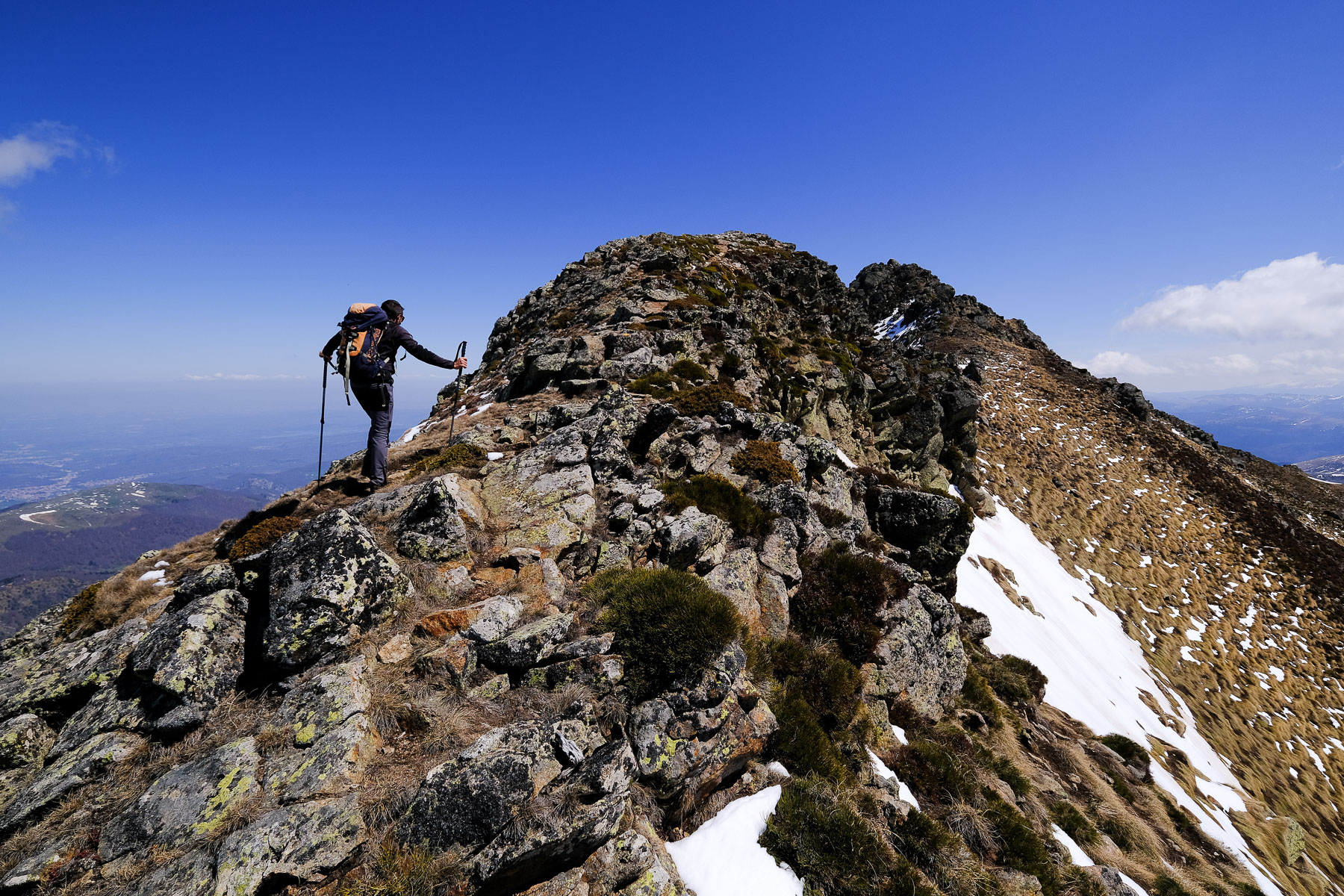
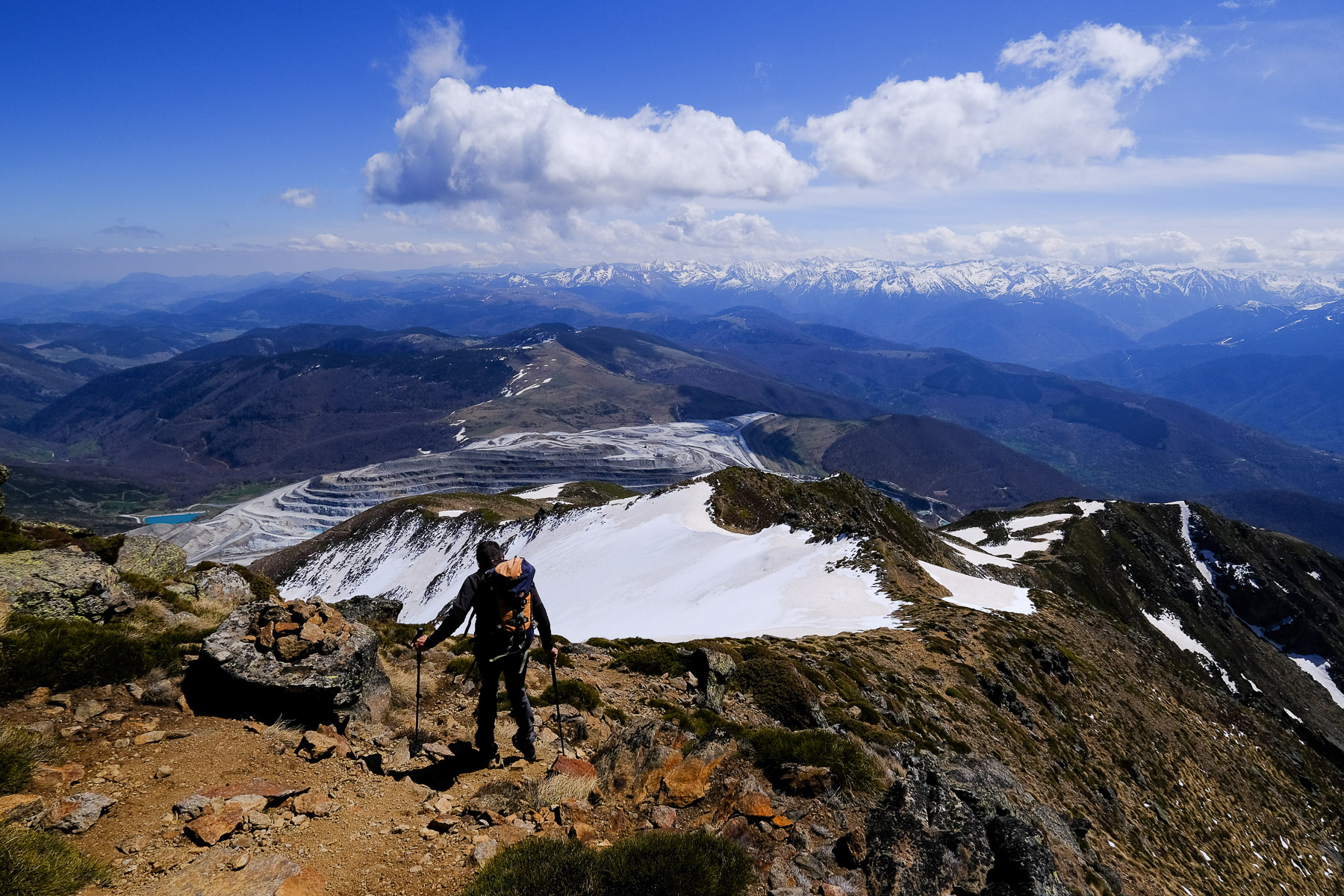
Descend the ridge on the east side, not too steeply, to quickly reach the col du trou de l'Ours. From here, as you turn around, you have a superb view of the Trou de l'Ours gorges and the ridge you've just covered. Continue straight on and climb up the path that broadly follows the rocky ridge. There are several levels before you reach the summit of Soularac. You pass the first summit and then see the Soularac summit further on. You can stay on the ridge by putting your hands up a little, without difficulty but with an airy feel. The Soularac peak is a huge boulder overlooking the Ax valley and the Ariège Pyrenees.
Part 4: Le Nadel and l'étang de Béseil (1h15 to 1h30)
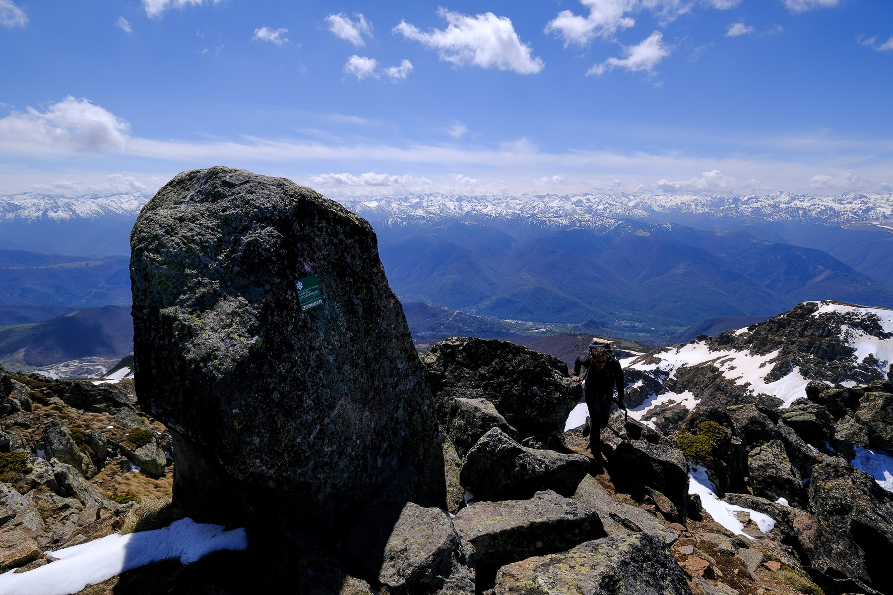
Dive east from the summit of Soularac to reach the Col de Techeyrou. Keep as close as possible to the edge of the ridge, and soon, at the bend in the ridge, you'll discover the huge Luzenac talc quarry. Continue along the ridge, this time descending due south. Further down, you'll see a sign indicating the return parking lot. Continue along the eastern side of the Nadel ridge, then back over it. Just before the étang de Béseil, the path descends on the east side to reach the pond (brand-new yellow markings), but you can stay on the ridges where the route is shown on the IGN maps (recent change in markings?). We pass over the small Béseil pond, then the trail plunges further down to return to the start of the loop. End of the route.
Back
We head back down the wide path that passes under the cable car to return to the parking lot.
Les crêtes du Pibeste, Viger 16 January 2020 Just above Lourdes, at the entrance to the valley leading to Luz-Ardiden, the Crêtes du Pibeste offers…
Monte Rotondo, Melo and Capitello, Corte 5 August 2017 From the Restonica Valley, climb Corsica's second highest peak, Monte Rotondo at 2622m, and return via the…


 Partager sur WhatsApp
 Partager sur Twitter
Partager sur Instagram
Partager sur Twitter
Partager sur Instagram

 Partager sur Facebook
 Imprimer le topo
 Laisser un commentaire


![2017-08-05_13-35-40 [Monte Rotondo]](https://climbing7.com/wp-content/uploads/2017/09/2017-08-05_13-35-40-monte-rotondo-1024x683.jpg "Monte Rotondo, Melo and Capitello, Corte")
Leave a Reply