


TOPO Hiking | CLIMBING7.COM
Publié le
 Partager sur WhatsApp
 Partager sur Twitter
Partager sur Instagram
Partager sur Twitter
Partager sur Instagram

 Partager sur Facebook
 Imprimer le topo
 Laisser un commentaire

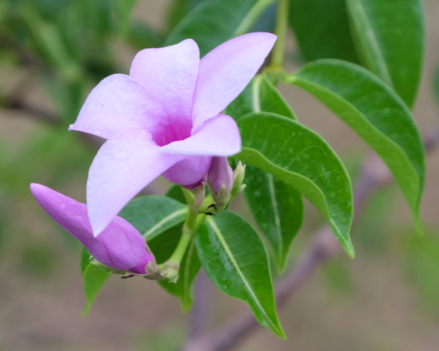
Entering the Amber Mountains from the north via the Antongombato valley to Joffreville, a few hundred metres higher up. A pretty, varied and colorful hike: from mangoes to lychees, from kapok trees to baobabs, forest and savannah, not to mention encounters with villagers in Sakalava territory. The itinerary is fairly straightforward, but the lack of signposts means you need to be careful, especially when taking the ridge. The logistics of getting from the starting point to the end also require some forethought. In any case, a not-to-be-missed discovery trail in the Montagne d'Ambre.
❱❱ Technical summary
Type ✦ Bush hiking
Location ✦ Antongombato
Region ✦ Montagne d'Ambre, Diana
Country ✦ Madagascar
Length ✦ 15kms
Elevation gain ✦ 700m
Difficulty ✦ D
Duration ✦ 4h to 5h
Interest ✦ ★
❱❱ Access to the place
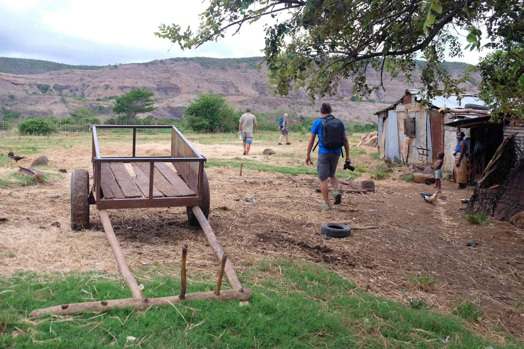
From Diego-Suarez, take the Anamakia road to the west, then turn 90° south just after to enter a huge mango grove. Follow the track south to the village of Antongombato. Once through, the track turns right and ends up at the foot of the ruins of an old abandoned canning factory. Drop off or leave your vehicle there. 4×4 preferred, mandatory in rainy season.
❱❱ Map & topo
❱❱ Itinéraire
Immediately from this esplanade, a path leads south through the shrubbery, the starting point for the valley.
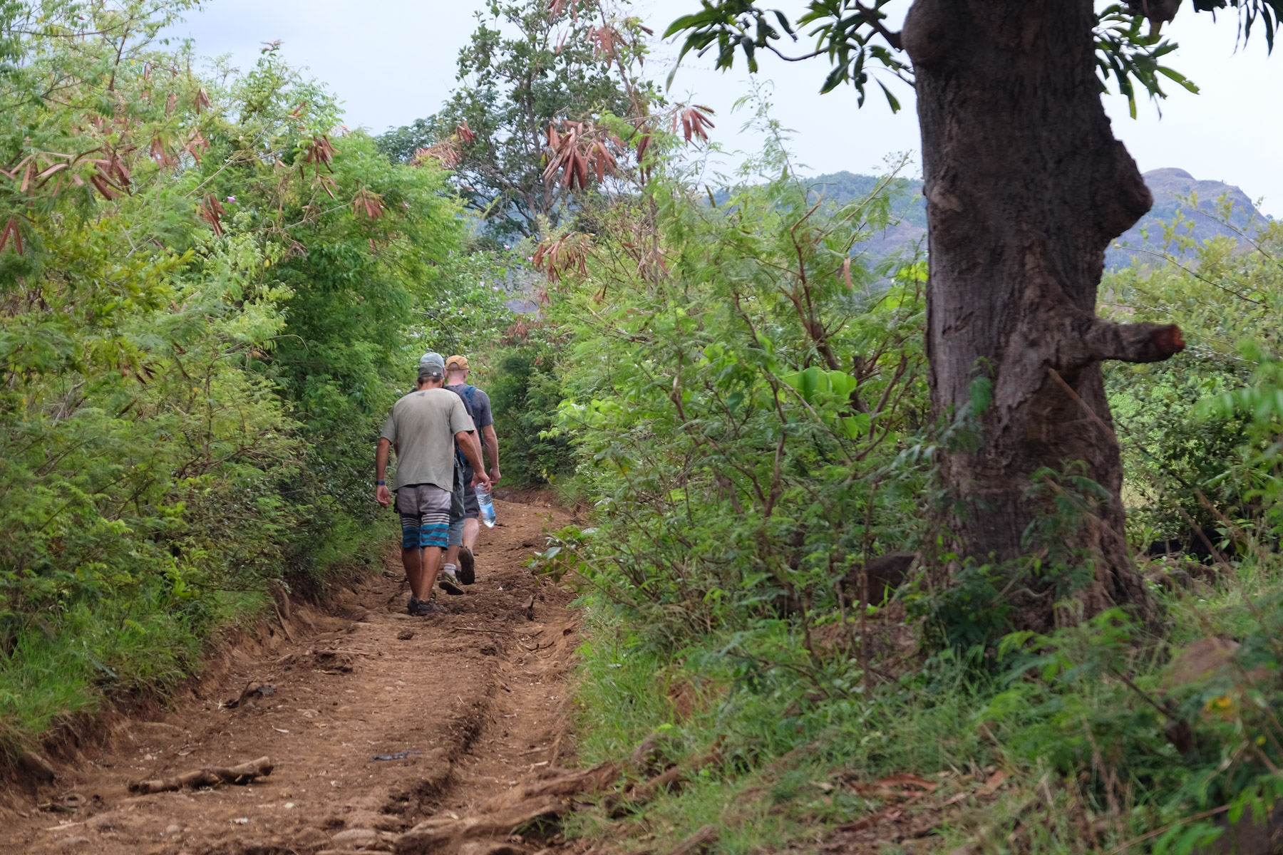
North-South itinerary almost to the end on a series of more or less well-marked tracks and paths, but without any markings. Asking villagers for confirmation of the Joffre route can be very helpful. The trek can be divided into 4 fairly clear sections.
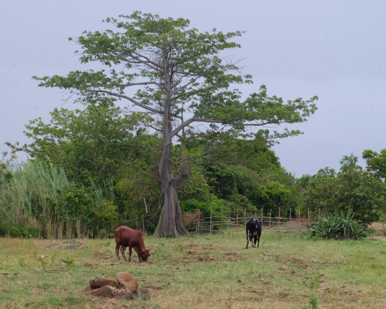
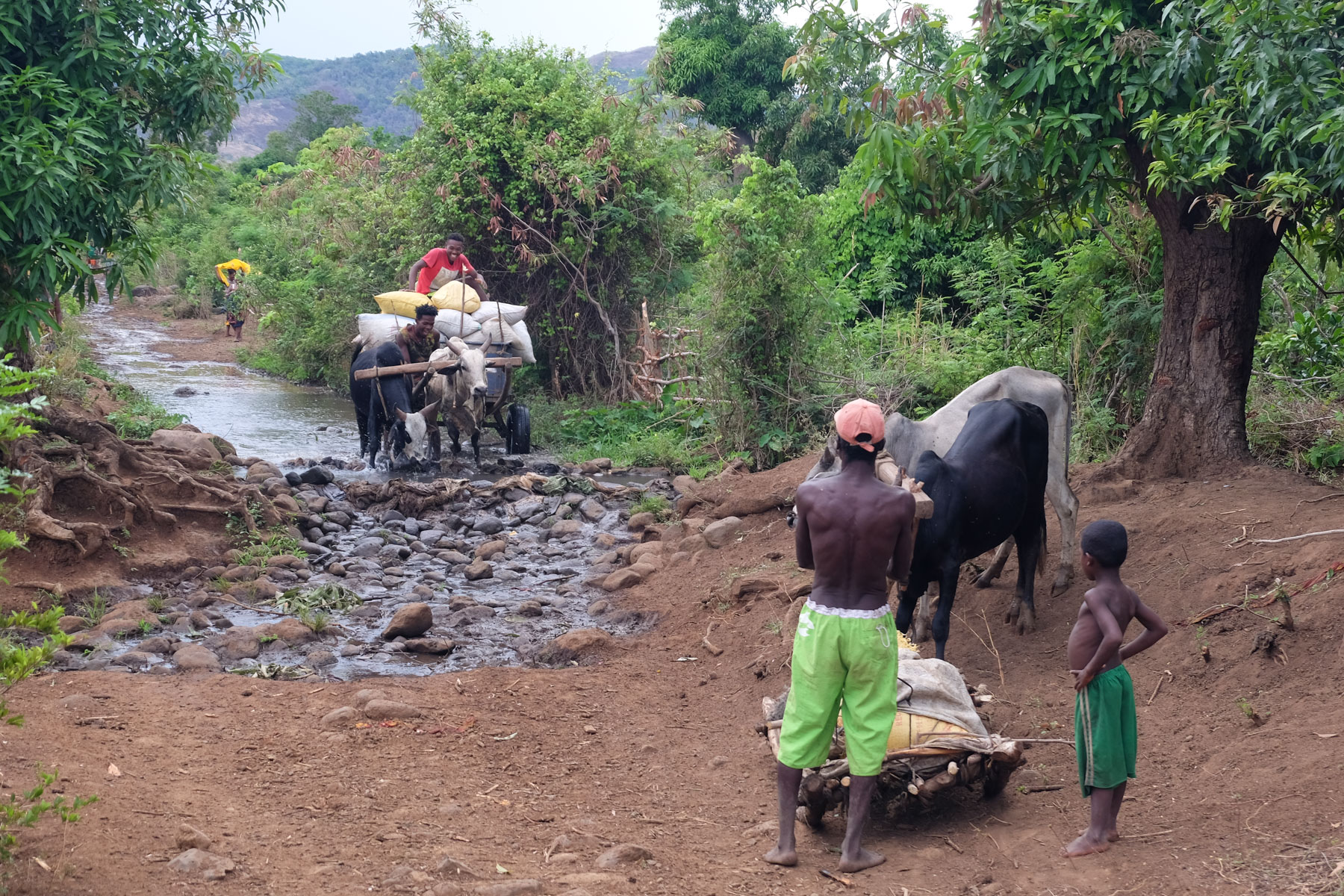
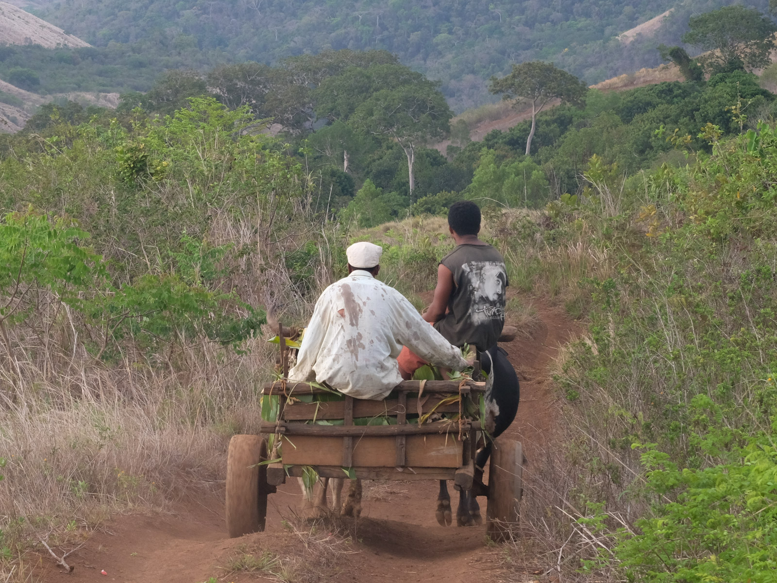
In this 1st long section, the route crosses the central plain running due south towards the 1st heights of Montagne d'Ambre, which can be seen to the south. The trail passes along or through a series of small bush villages. The terrain remains largely open. Along the way, a solitary baobab and a superb Kapok tree with thorn-covered skin. Village scenes, zebu cart crossings, traditional dwellings.
At the end of the plain, the trail suddenly enters a fairly dense forest, with a small cliff of basaltic organs on the left, on the other side of the stream. After about 30 minutes, a trail comes out on the right to rise up the side of a pebbled hill. You then emerge from the vegetation to overlook the forest and, above all, discover a surprising baobab forest much higher up.
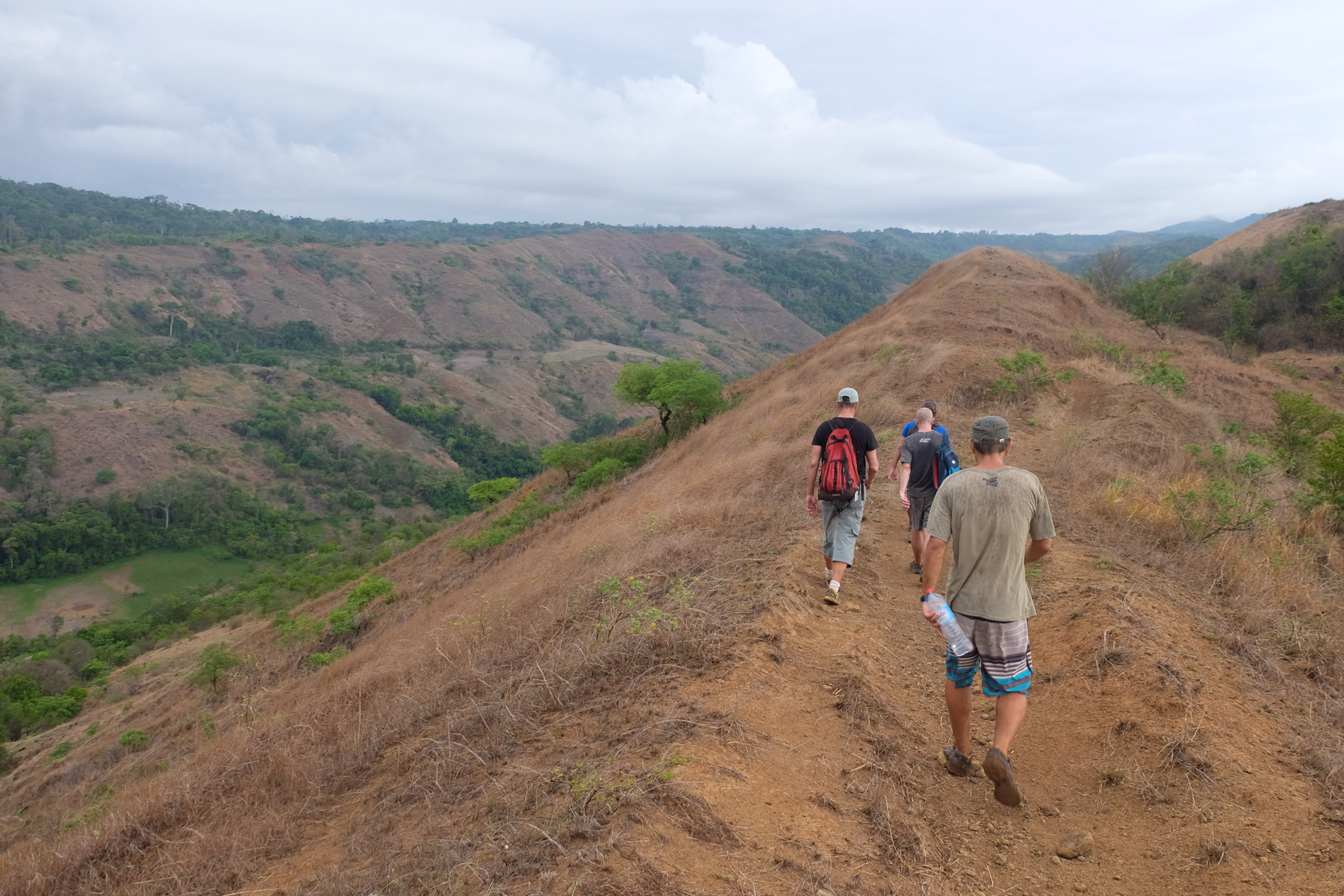
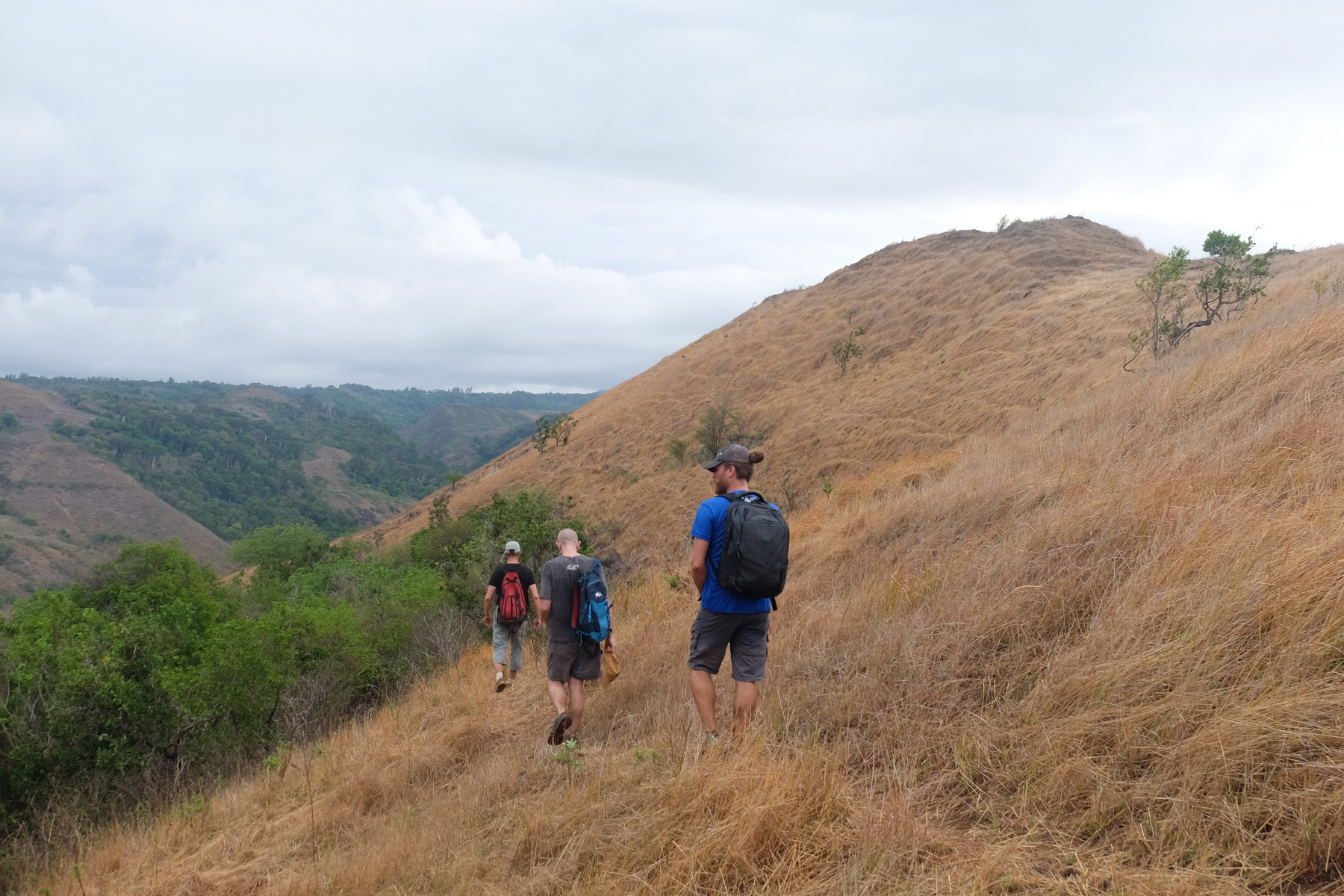
Very soon after leaving the forest, the path climbs and forks to the left to attack the ridge. Climb fairly steeply, then continue more or less along the ridge line. It's quite steep in places, but the panorama is increasingly aerial. You can already see the whole route you've covered since the start: the valley in the background, the forest and the brushed savannah fur covering of the hill you're on.
Continuing southwards along the ridge, we start to catch a glimpse of some of the Joffreville buildings on the opposite ridge, on the other side of the valley. Before the end of the ridge, pick up the path that slides down the eastern side of the valley, then down the savannah slopes to reach the bed of the Rivière de la Main at the bottom. Swimming possible in the pools beneath the woods.
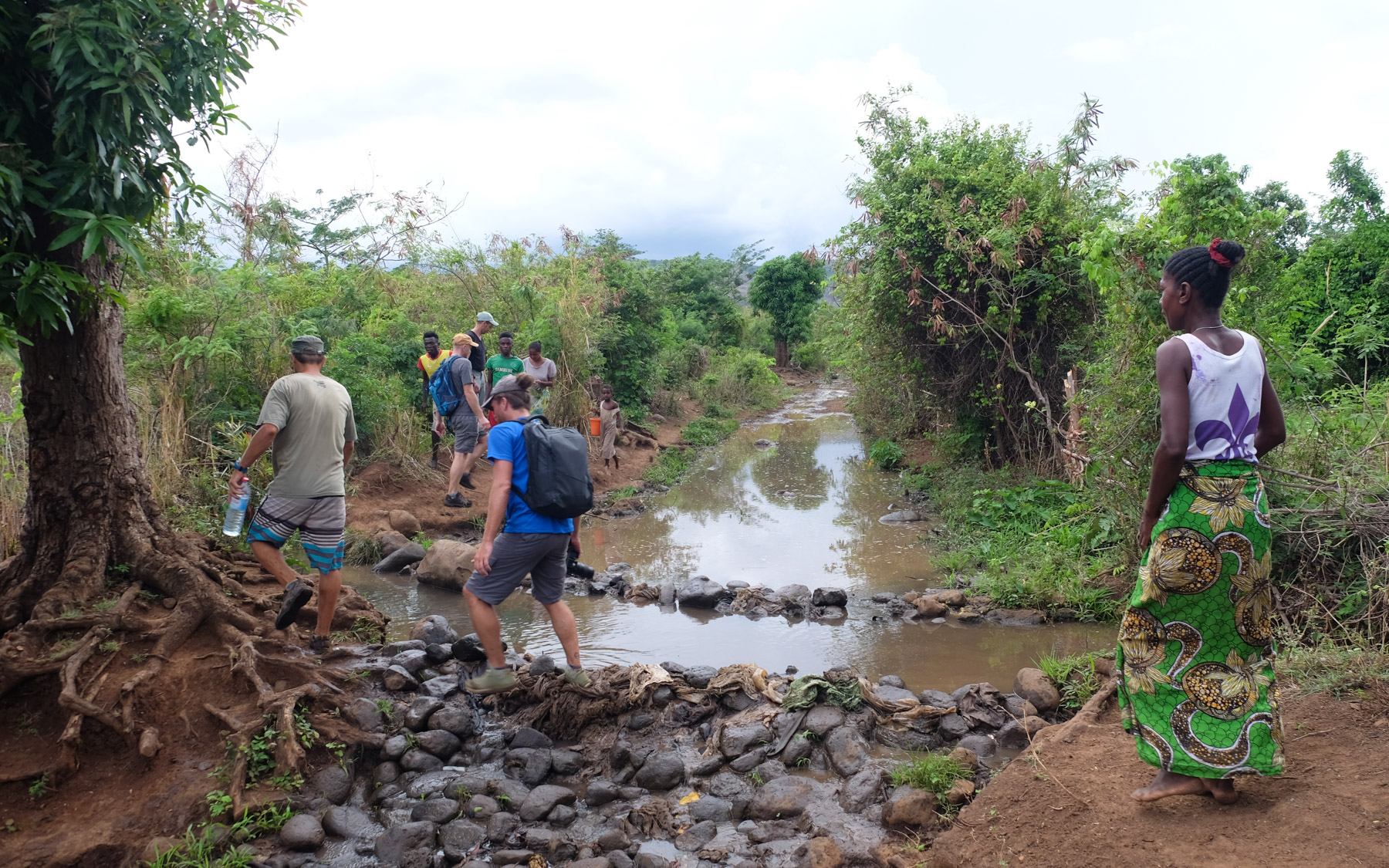
Follow the riverbed for a while to quickly find a well-marked trail that climbs up on the opposite side. Climb in a zigzag pattern, taking a series of not always very clear paths, to reach the ridge and a wide track.
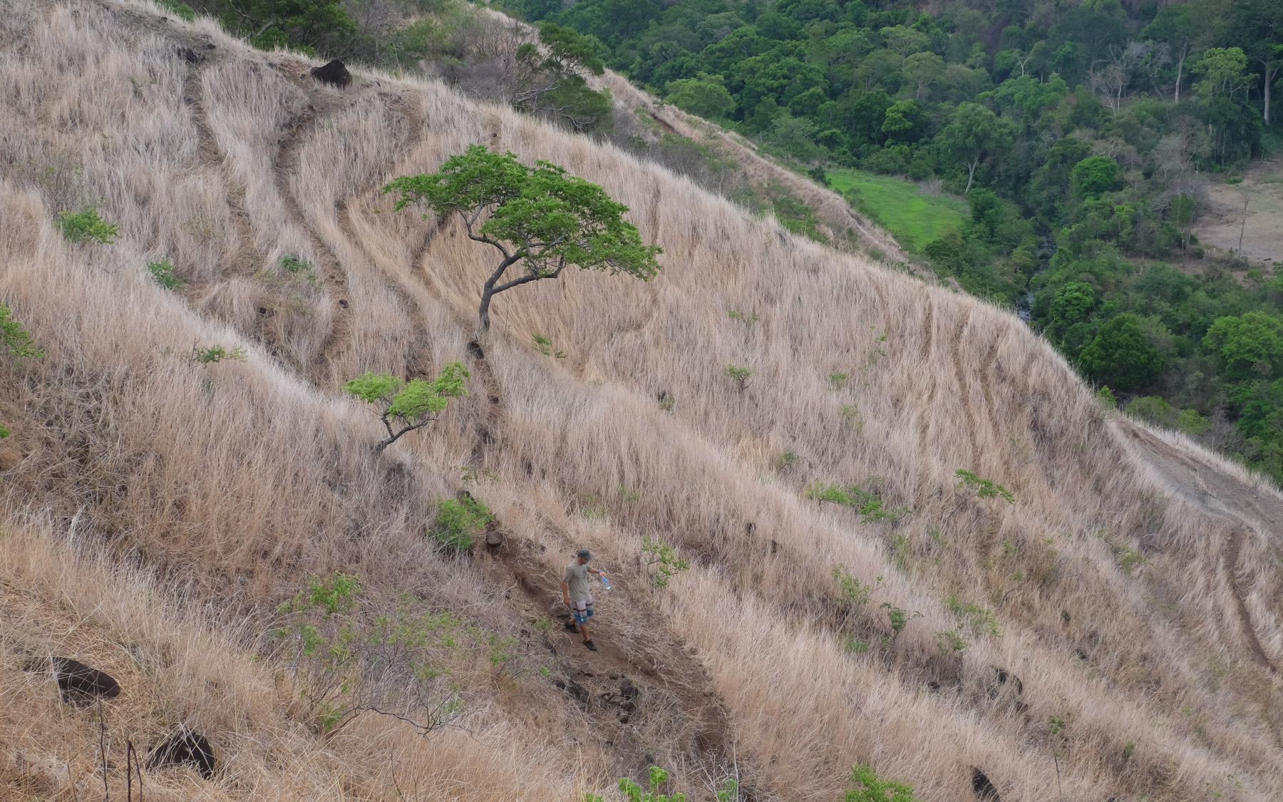
Follow it southwards, winding its way with a fine view over the heights of Montagne d'Ambre. To our right, the Rivière de la Main valley deepens, and higher up we see a dome-shaped hill, peeled off and covered with a thin layer of fluorescent green.
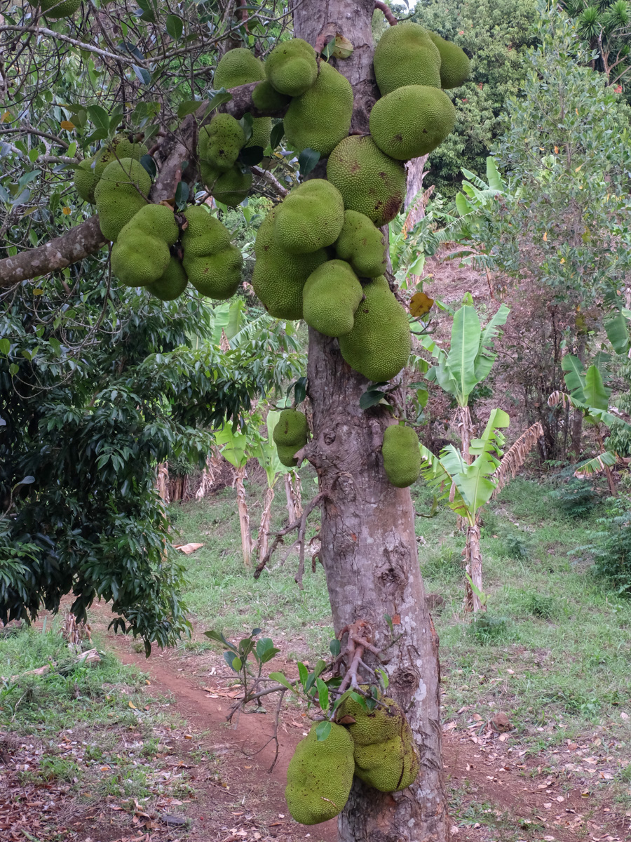
At the end of the ridge path, just past the neon-green hill, the track makes a 90° turn towards a field of lychees and a superb jackfruit tree. Follow to exit fairly quickly onto the road a few hundred metres below Joffreville.
All that remains is to find a way back to Diego by hitchhiking (25 kms) or by going up to Diego to catch a bush cab, but this is not easy. The best thing is to have organized a transfer from Diego before departure (same for the outward journey, to avoid leaving a vehicle there to be picked up at the end of the day).


Leave a Reply