


TOPO Climbing | CLIMBING7.COM
Publié le
 Partager sur WhatsApp
 Partager sur Twitter
Partager sur Instagram
Partager sur Twitter
Partager sur Instagram

 Partager sur Facebook
 Imprimer le topo
 Laisser un commentaire
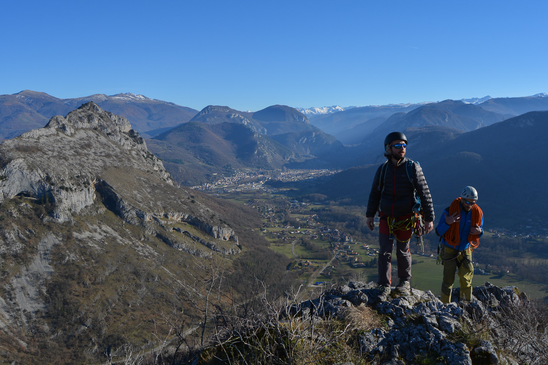
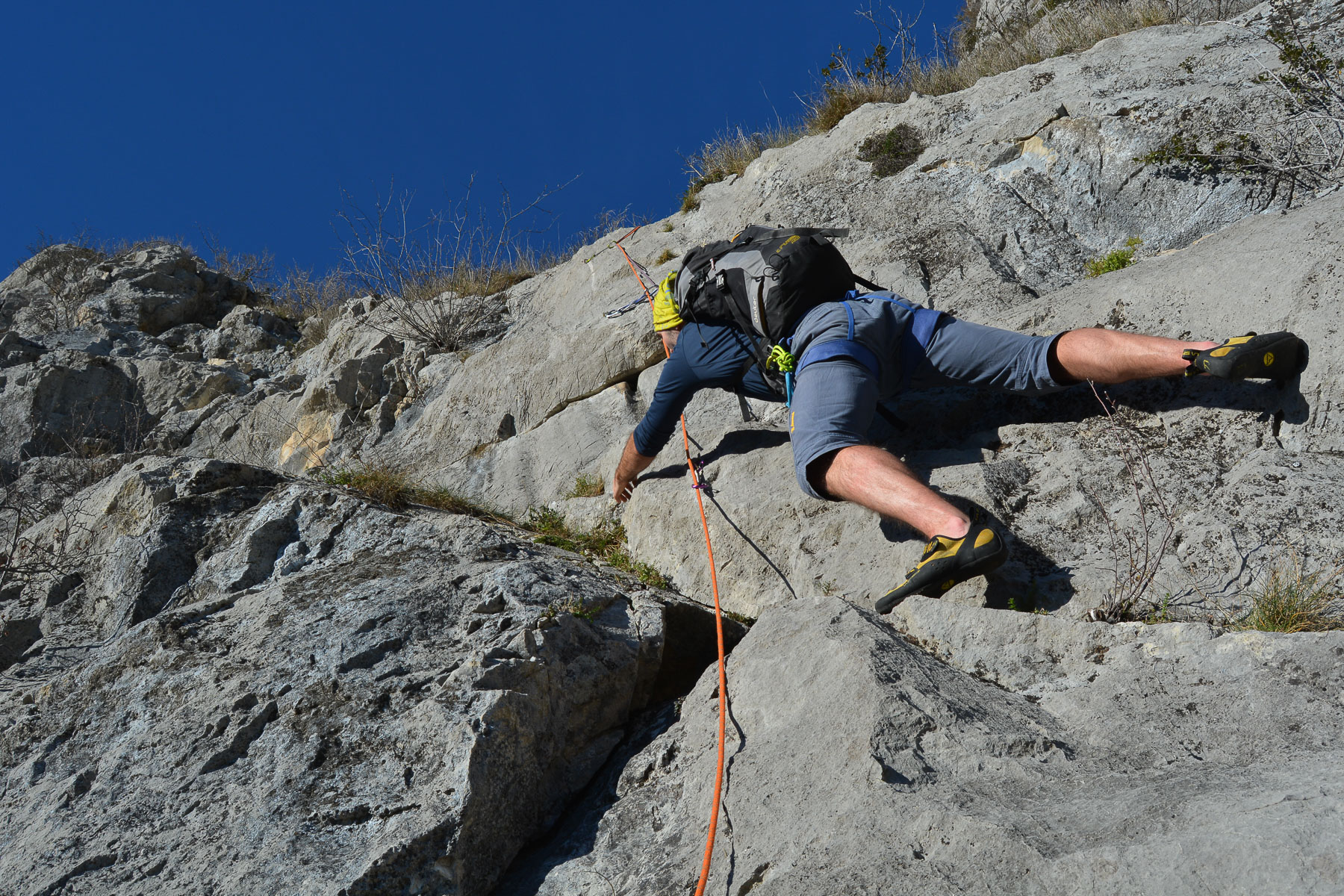
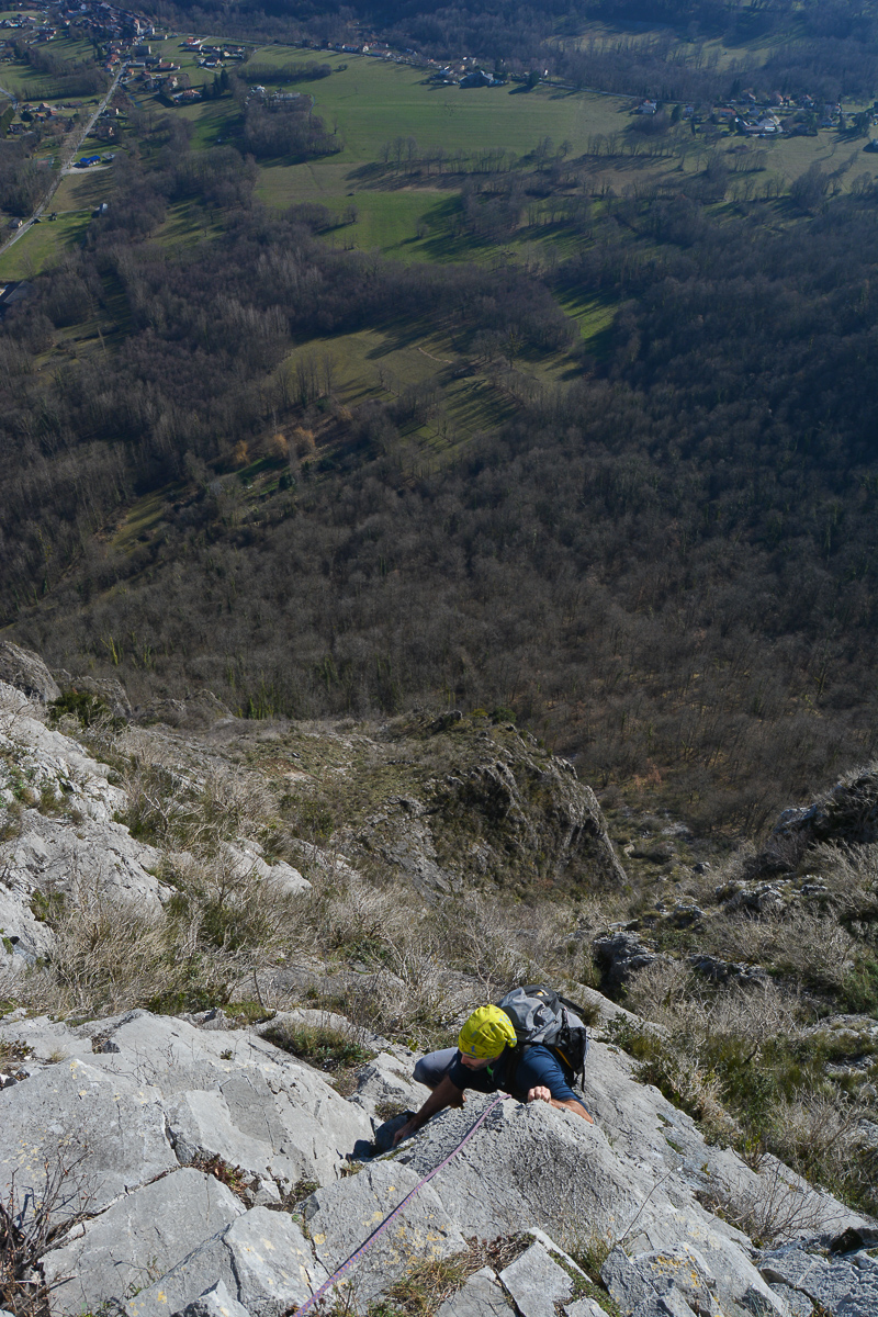
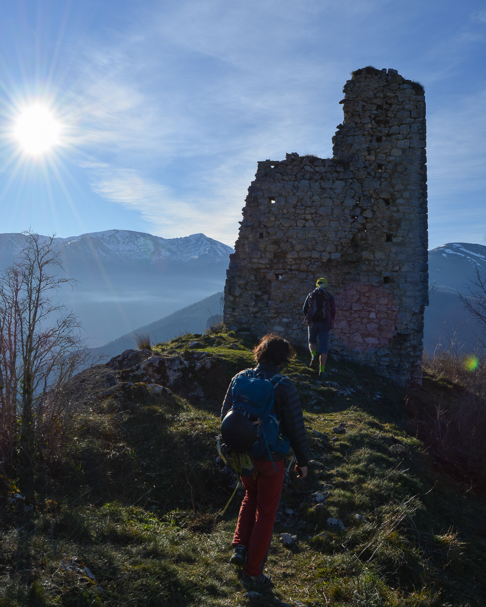
At the entrance to the Ax-le-Thermes valley, the ruins of the Château de Calamès dominate from the top of a large limestone pyramid. On the south face, a number of large, equipped routes, including Pour Lubelline, one of the most accessible in the Pilier des Cathares sector. 5 pitches in V climbs that are in places quite sustained, with impeccable rock and, above all, an incredible, uninterrupted view of the valley and the Pyrenean peaks. A great option for a fresh start or a short, easy climb in the winter sunshine.
❱❱ Technical summary
Type ✦ Large equipped track
Location ✦ Bedeilhac
Region ✦ Ariège
Country ✦ France
Lengths ✦ 5
Dénivelé ✦ 180m
Difficulty max ✦ V
Duration ✦ 2h to 3h
Interest ✦ ★
❱❱ Access to the place
At the large traffic circle off the 4-lane road from Foix, turn right towards Saurat. Drive up through the village of Bedeilhac. Keep on going, and at the end of the village on the left, park in the parking lot provided for access to the climbing areas.
❱❱ Map & topo

❱❱ Itinéraire
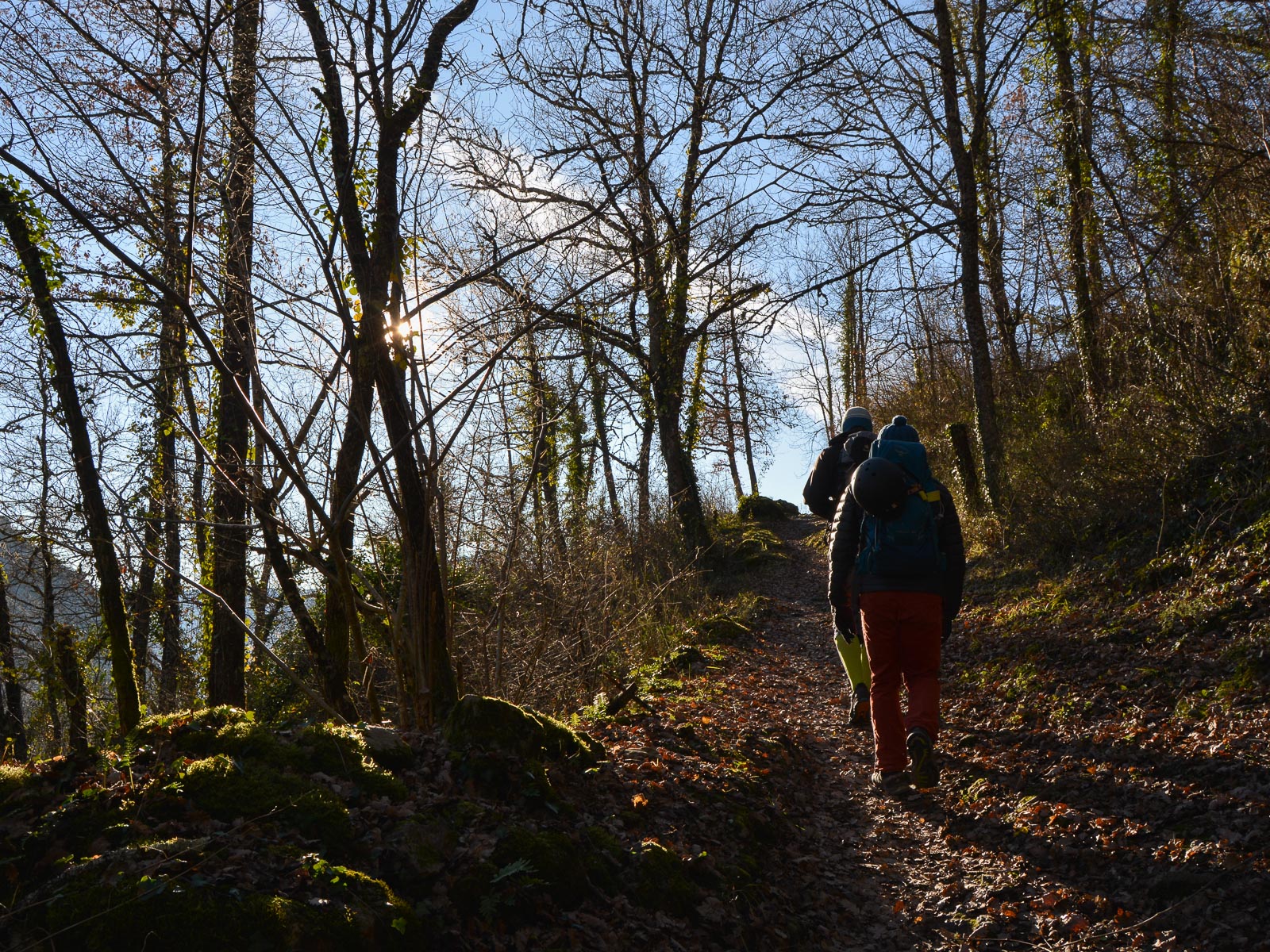
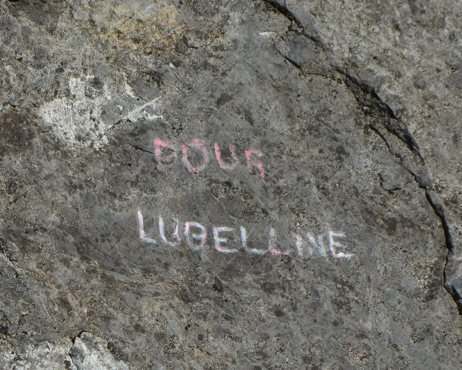
From the parking lot, take the alleyway through the village and follow the red and yellow markings. Descend a little, then turn right onto a well-marked forest path. Climb up to exit at the base of the walls. Pass in front of the first climbing areas, then quickly branch off to climb steeply to the upper walls. Higher up, branch off a second time to reach the base of the Pilier des Cathares, which is clearly recognizable. Route names are inscribed on the rock. Climb a little to the right to find the start of Pour Lubelline.
Large, well-equipped route, with equipped and chained belays. The route faces due south. The route is fairly straightforward except for L1, where the 6a pitch is very close on the right. You can expect 1 or 2 average friends for a few spaced equipped passages.
Continue up the easy ridge to the ruins of Château de Calamès. The return path runs behind and steeply downhill until it crosses the Col de Dijou. From here, turn left on the red and yellow signposted path and return to the starting parking lot.


Leave a Reply